English & Français
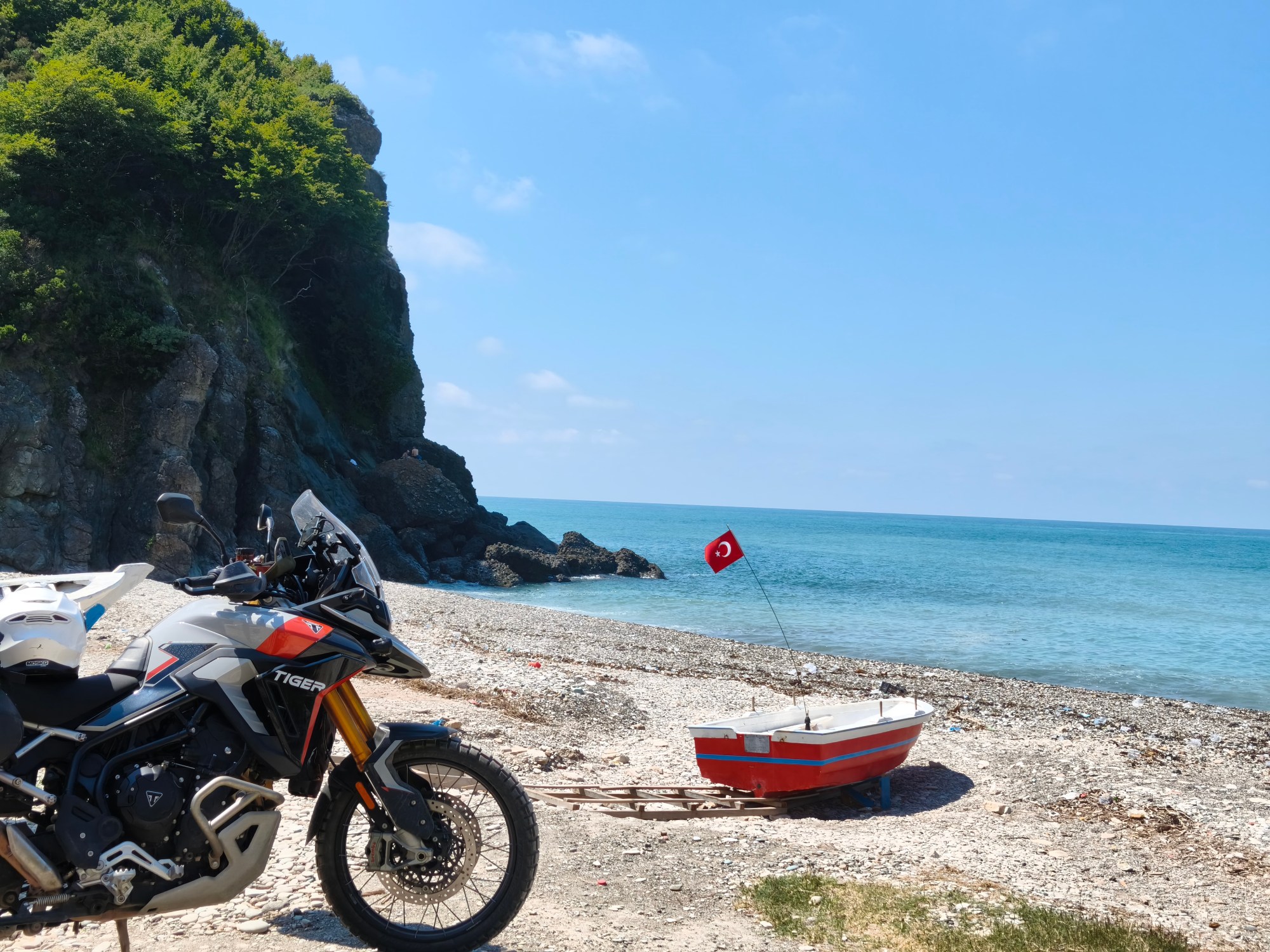
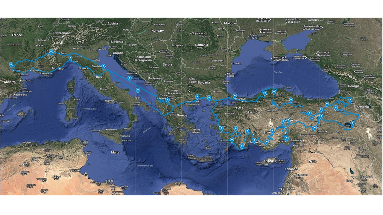
Every year, the ritual begins anew: loading up the Triumph, setting a course, and riding off to explore the world at handlebar height. For this journey, the objective was an obvious choice: crossing Anatolia all the way to the Georgian, Armenian, and Iranian borders. 33 days of adventure, 13,320 km, 650 liters of fuel, an uncountable number of glasses of çay, and above all, a deeply profound journey through an incredible diversity of landscapes, some of which have no equivalent anywhere else. The route was prepared well in advance during long winter evenings, using my trusty Google MyMaps, its satellite eye, and various sources like DangerousRoads.com. The goal: getting as close as possible to the natural wonders this immense country has to offer (putting aside any comments on its governance), from the wild, humid shores of the Black Sea to the volcanoes of Eastern Anatolia, down to the Taurus Mountains and the impressive Lycian coast. All of this was done mostly via backroads, often in poor condition, and numerous off-road tracks, which remain the best way to soak in the local atmosphere while avoiding the mass homogenization of international tourism.
Chaque année, le rituel reprend : charger la Triumph, se donner un cap et partir explorer le monde à hauteur de guidon. Pour cette édition, l’objectif s’est imposé comme une évidence : traverser l’Anatolie jusqu’aux frontières géorgienne, arménienne et iranienne. 33 jours d’aventure, 650 litres de carburant, une quantité incalculable de verres de çay, et surtout un voyage profondément marquant à travers une incroyable diversité de paysages, dont certains n’ont d’équivalent ailleurs. La trace a été préparée longtemps à l’avance durant les soirées hivernales, avec mon fidèle Google MyMaps et son œil satellitaire, et différentes sources telles que DangerousRoads.com. Le but : aller au plus près des curiosités naturelles qu’offre cet immense pays (sans commentaires sur sa gouvernance), des rives humides et sauvages de la Mer Noire, aux volcans de l’Anatolie Orientale, jusqu’aux Monts Taurus et les impressionnantes côtes lyciennes. Le tout essentiellement par des routes secondaires souvent délabrées, et de nombreuses pistes hors-bitume, qui restent toujours la meilleure façon de s’imprégner des atmosphères locales en évitant la grande homogénéisation du tourisme international.
Part I: The Approach – From Rabastens to the Gates of the Orient (Days 1 to 4) – 2,000 km
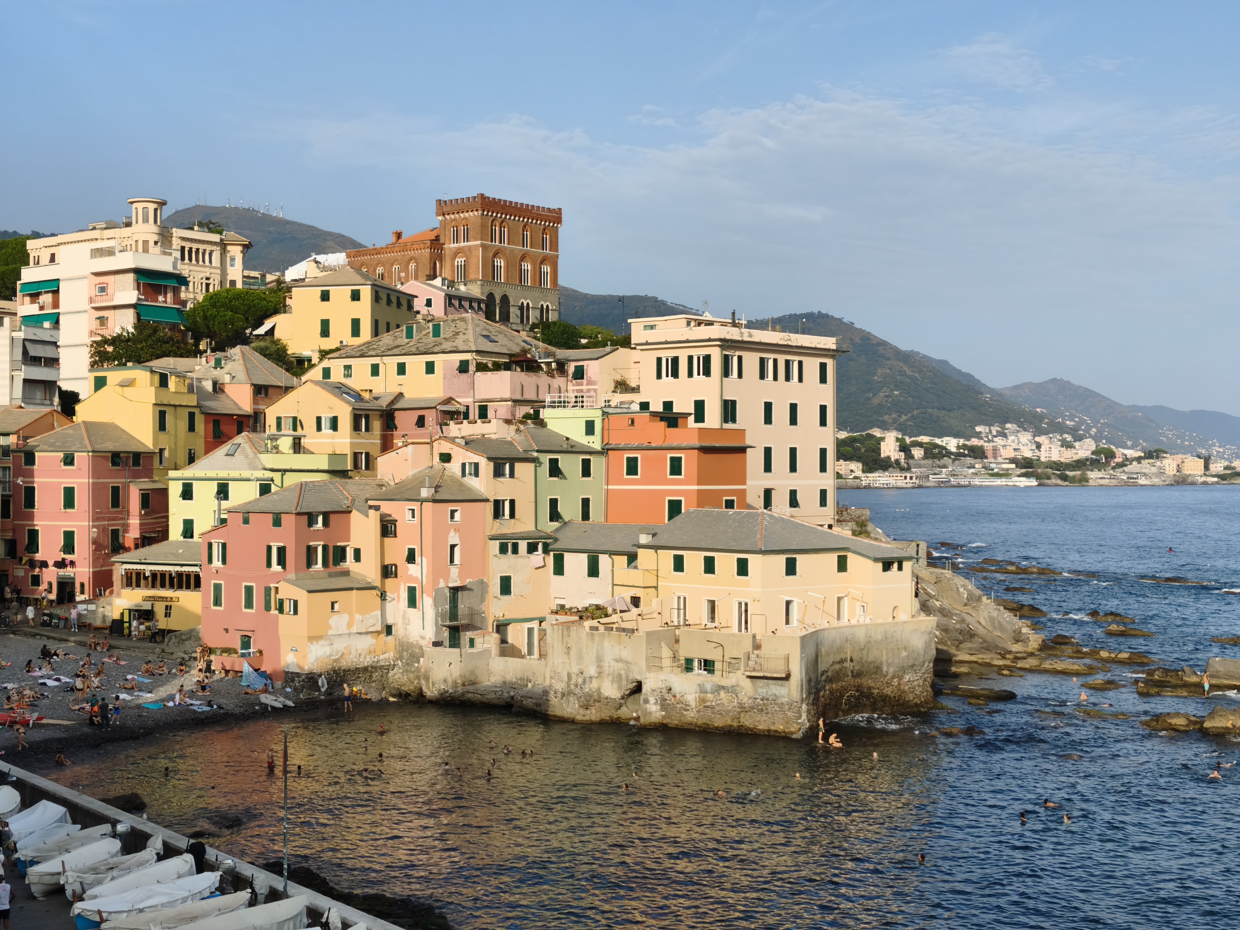
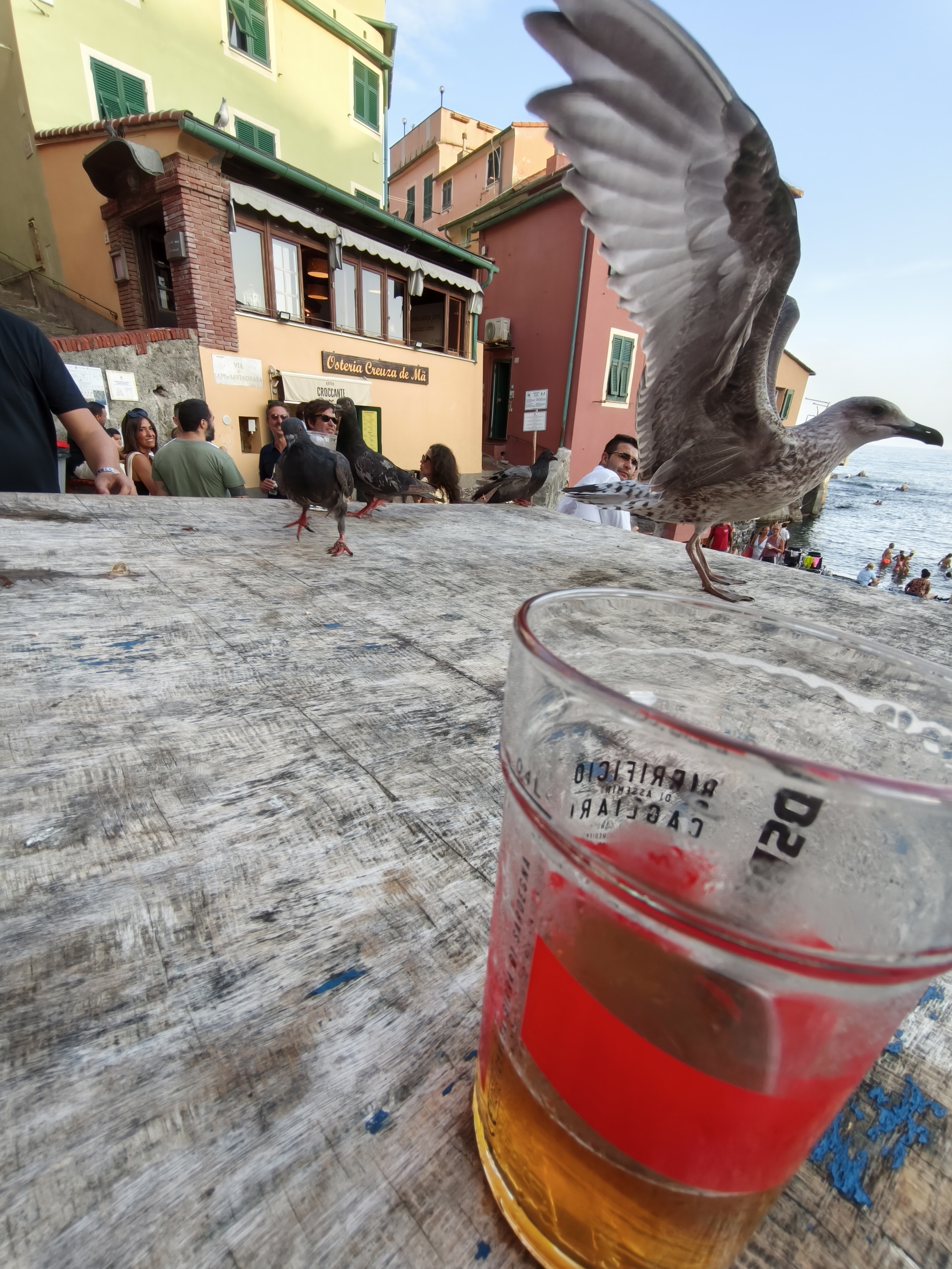
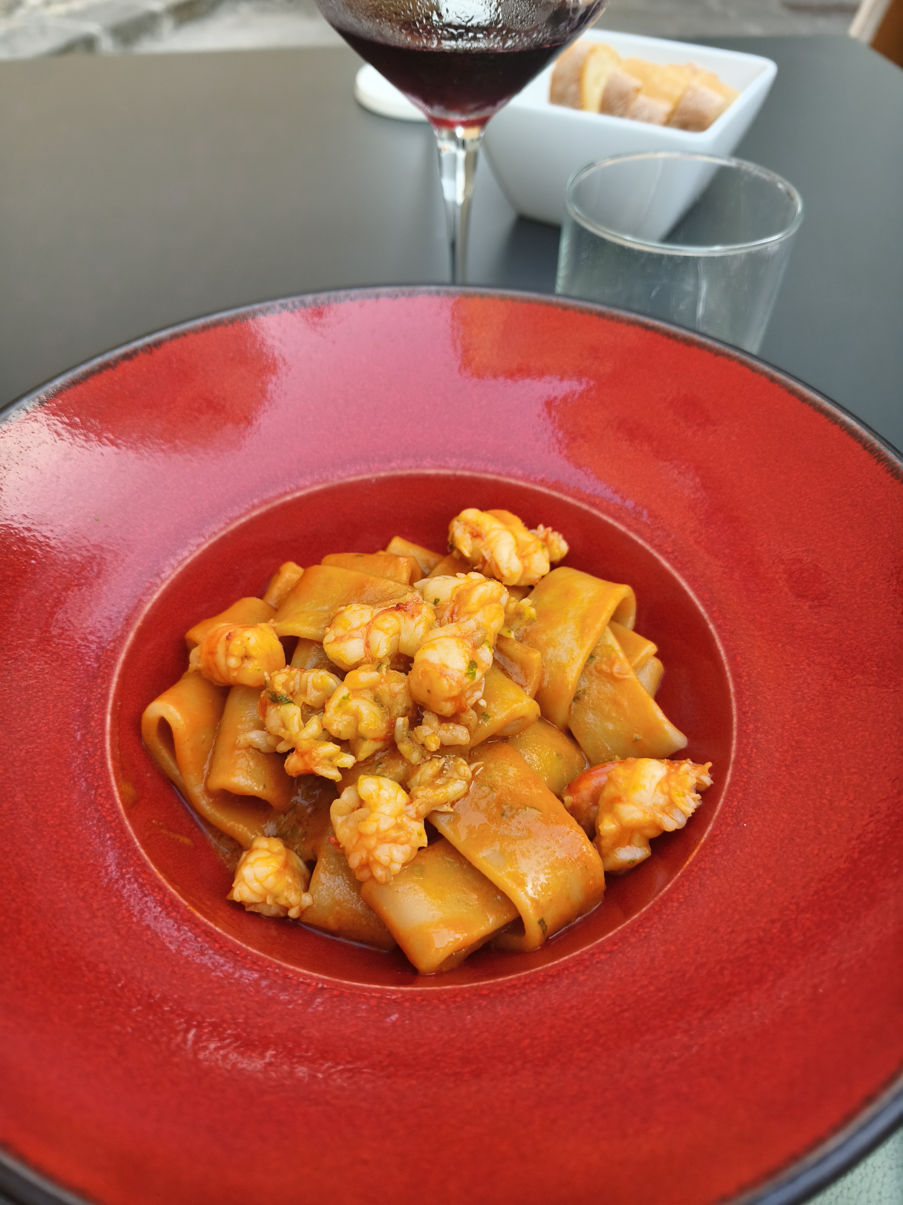
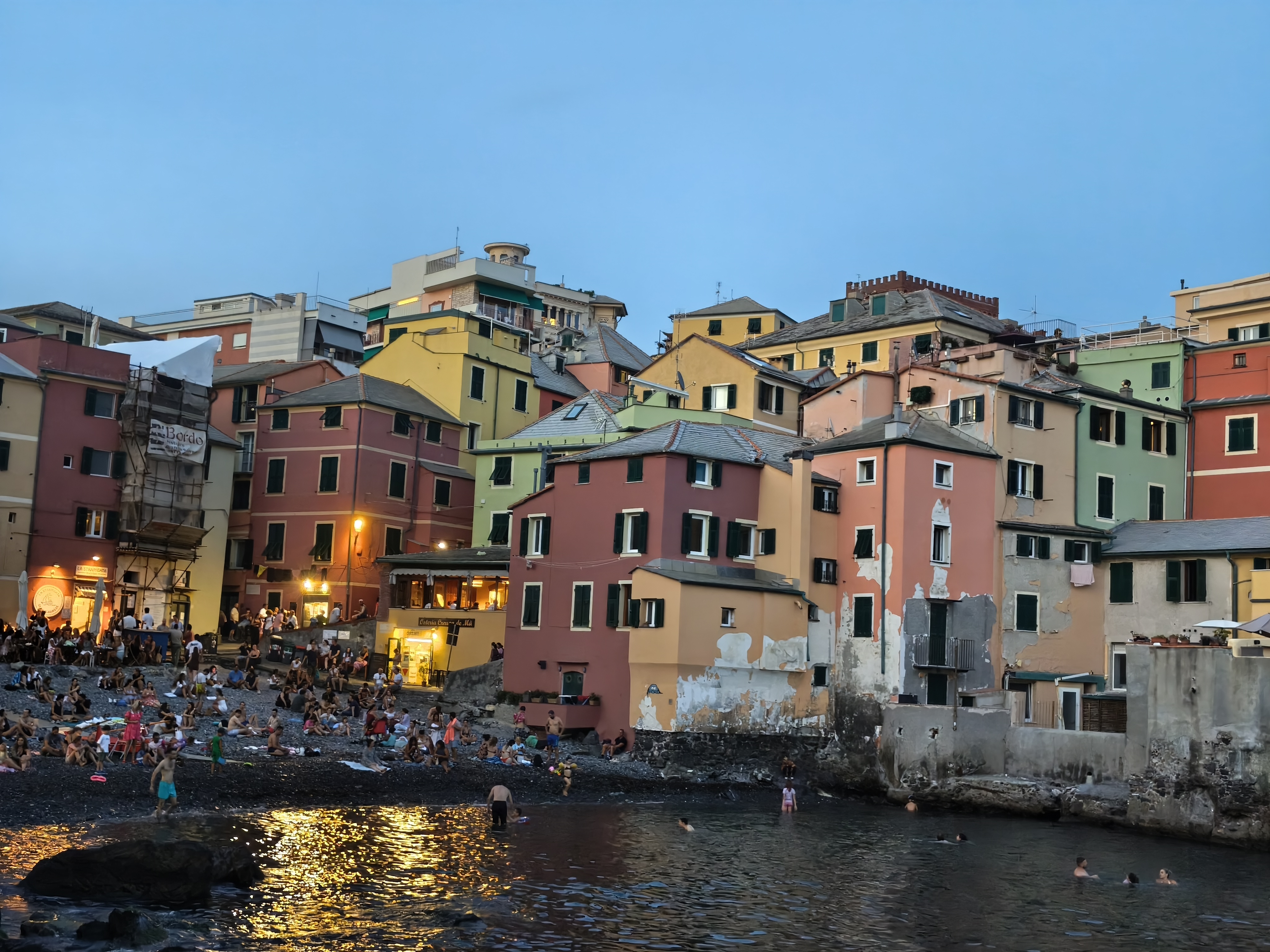
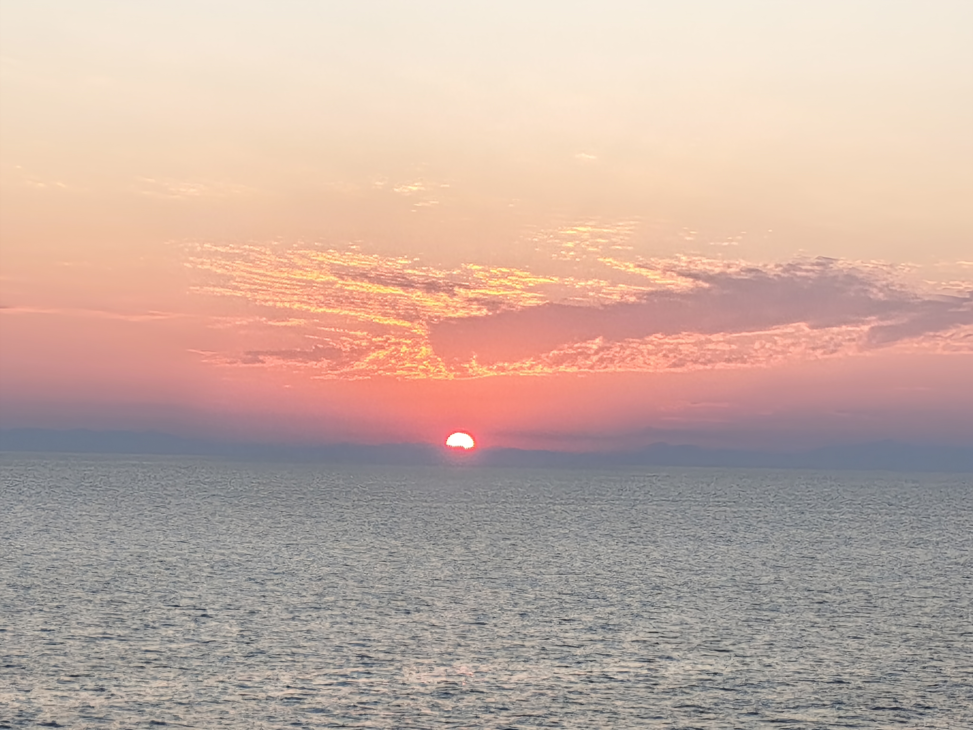
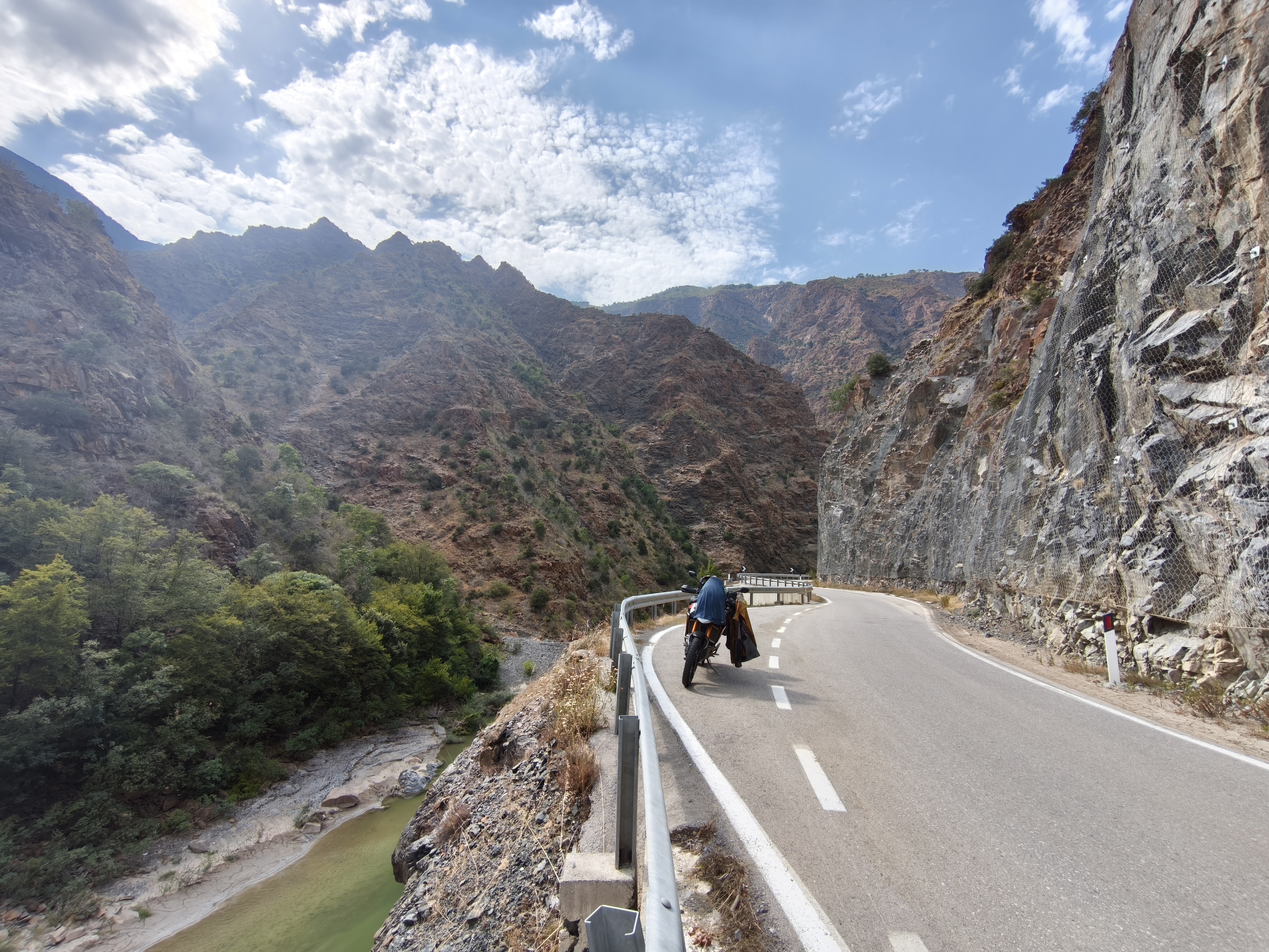
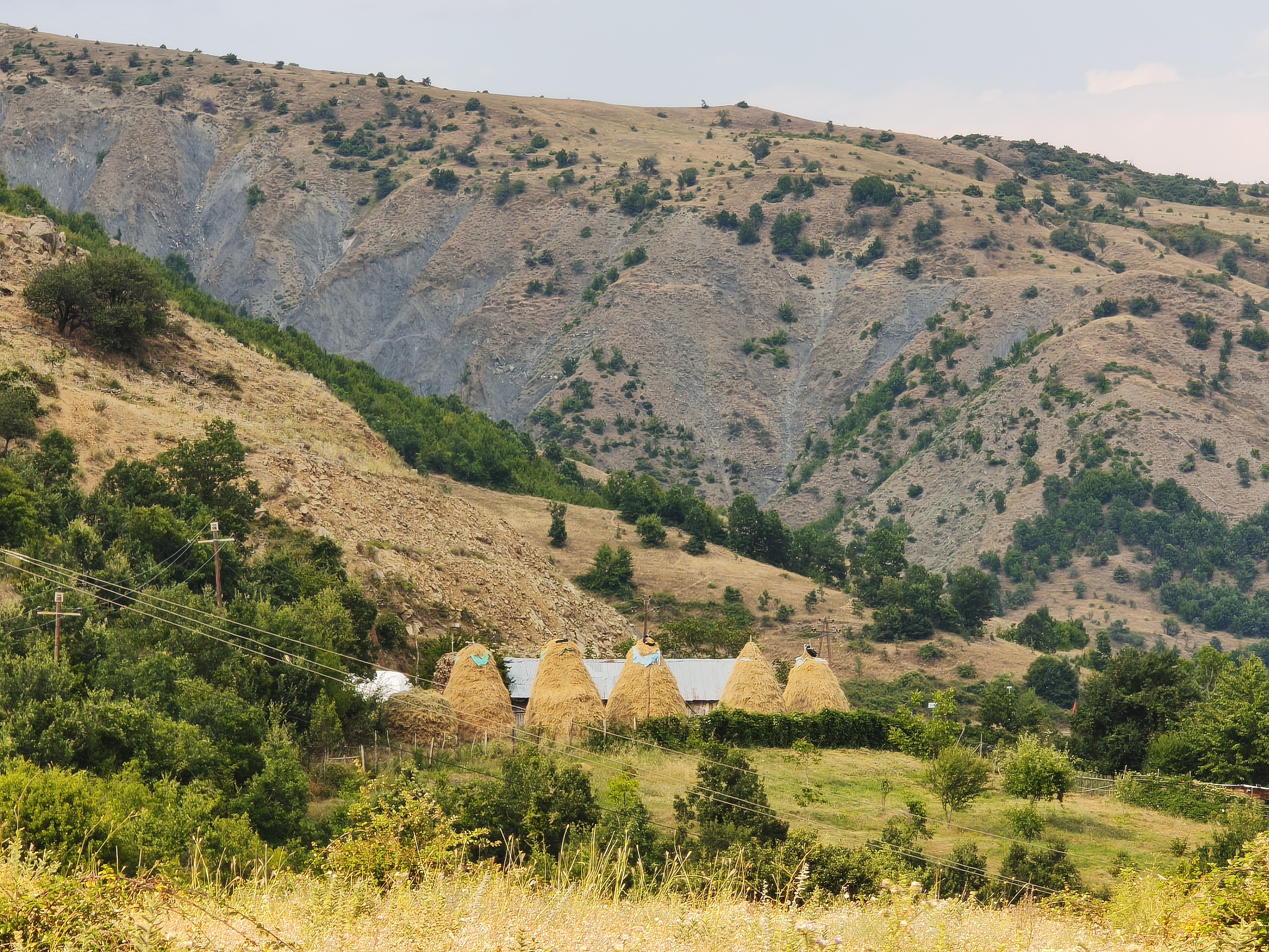
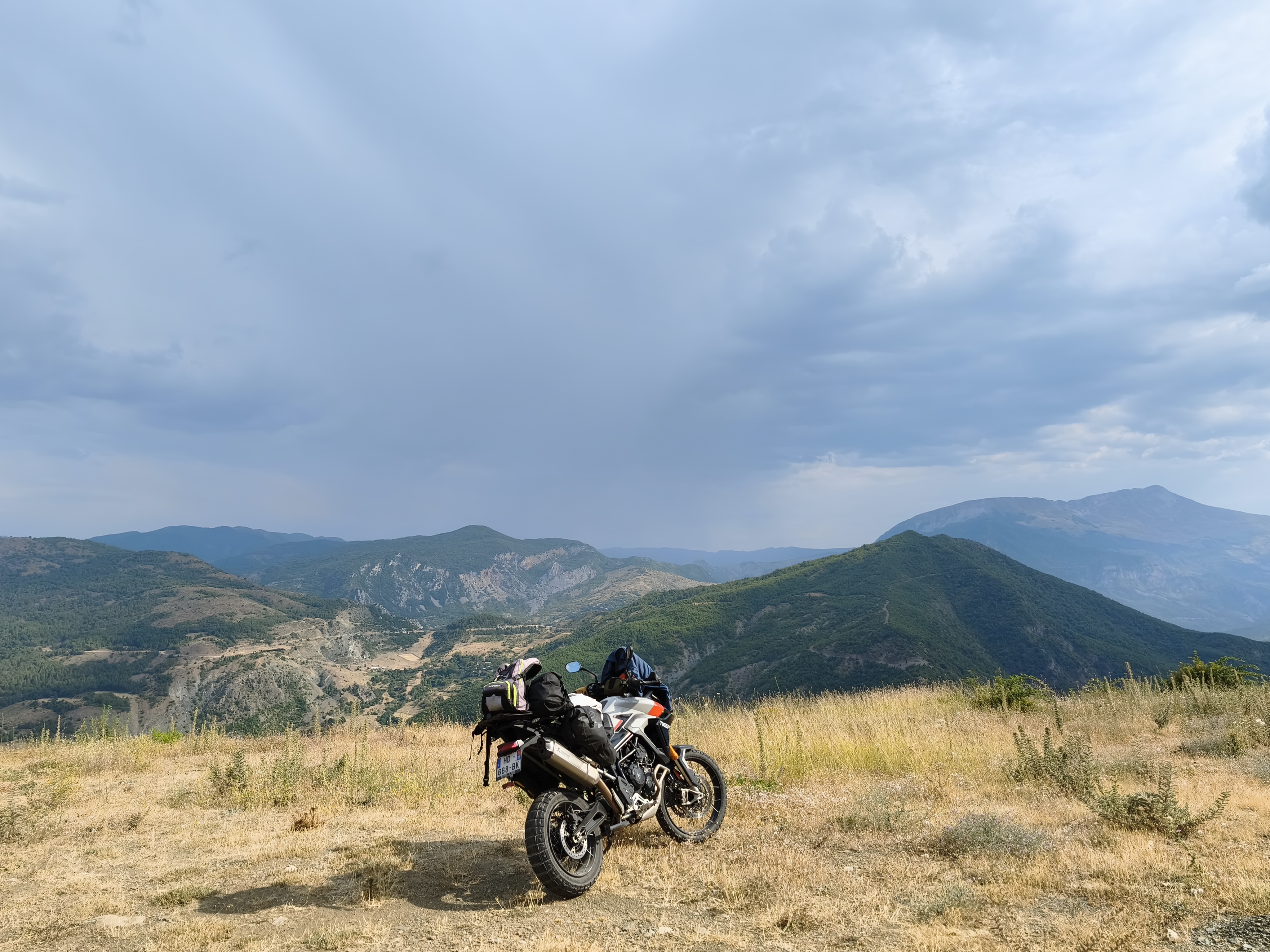
As is often the case, the journey begins with the initiation rite of the asphalt ribbon: 755 km of monotonous highway across southern France and northern Italy to reach Genoa. The effort is immediately rewarded with a stop in a (not so) secret spot: the Spiaggia di Boccadasse, a true urban « Cinque Terre » tucked between two cliffs, far from the city bustle.
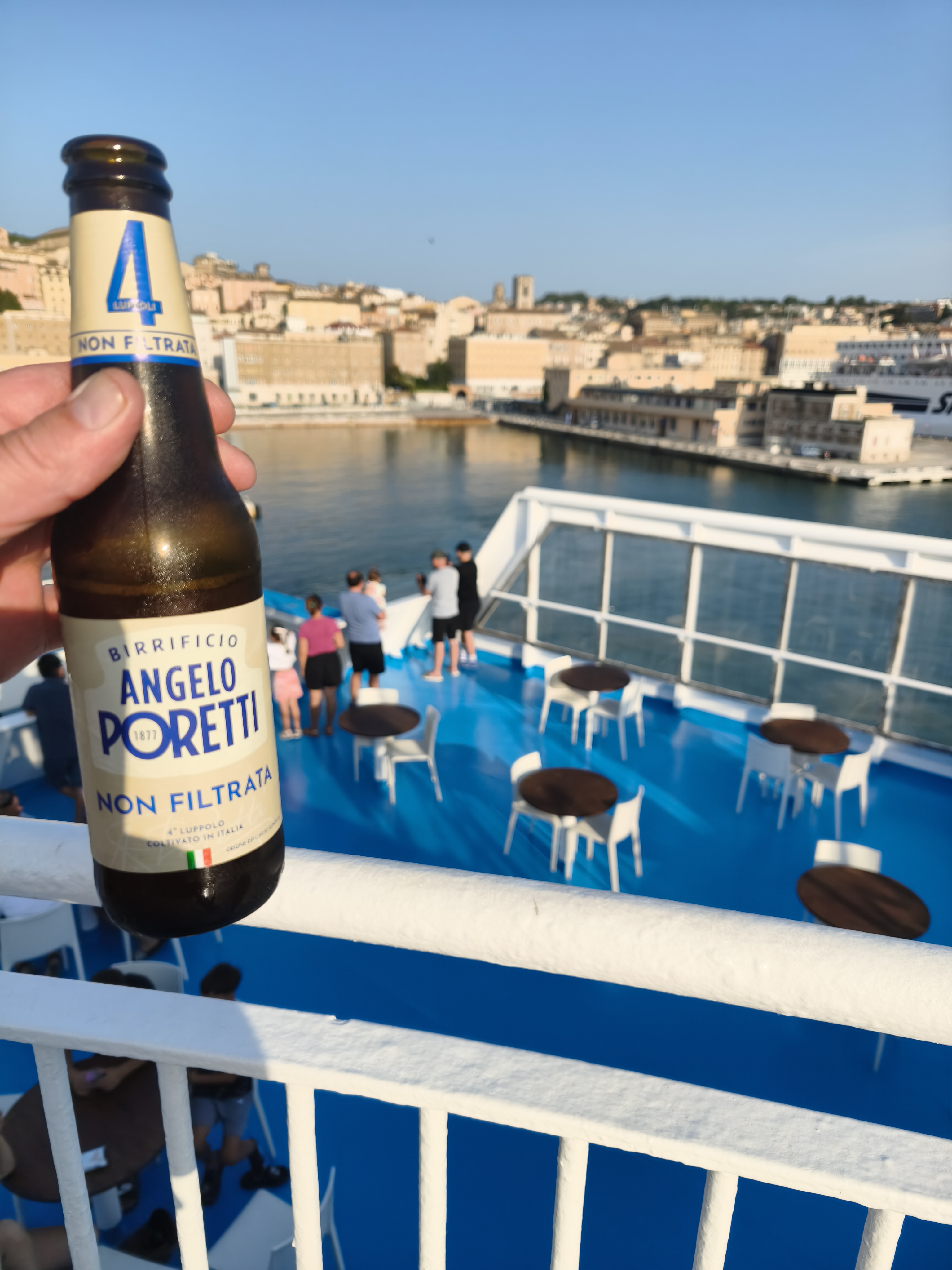
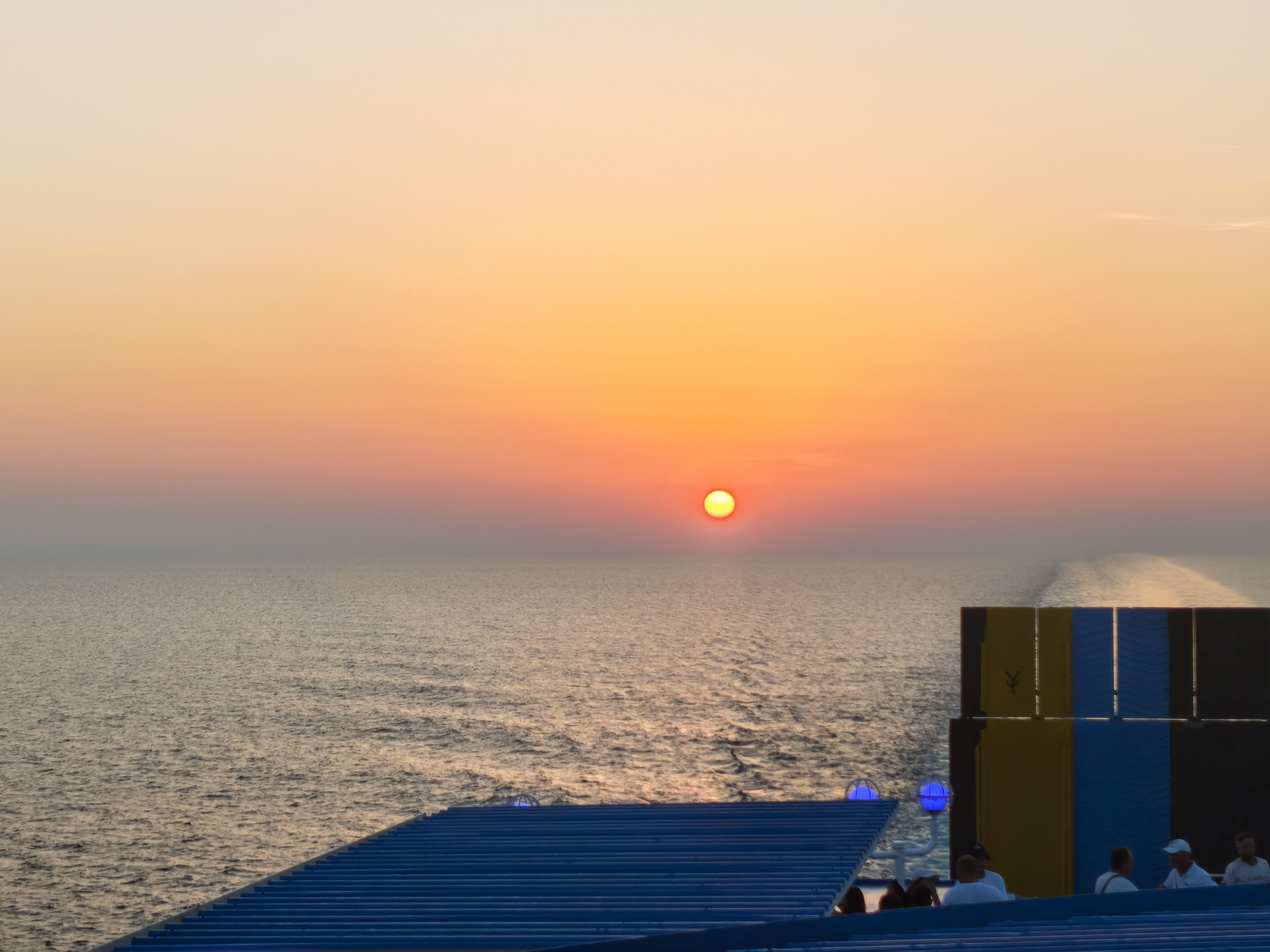
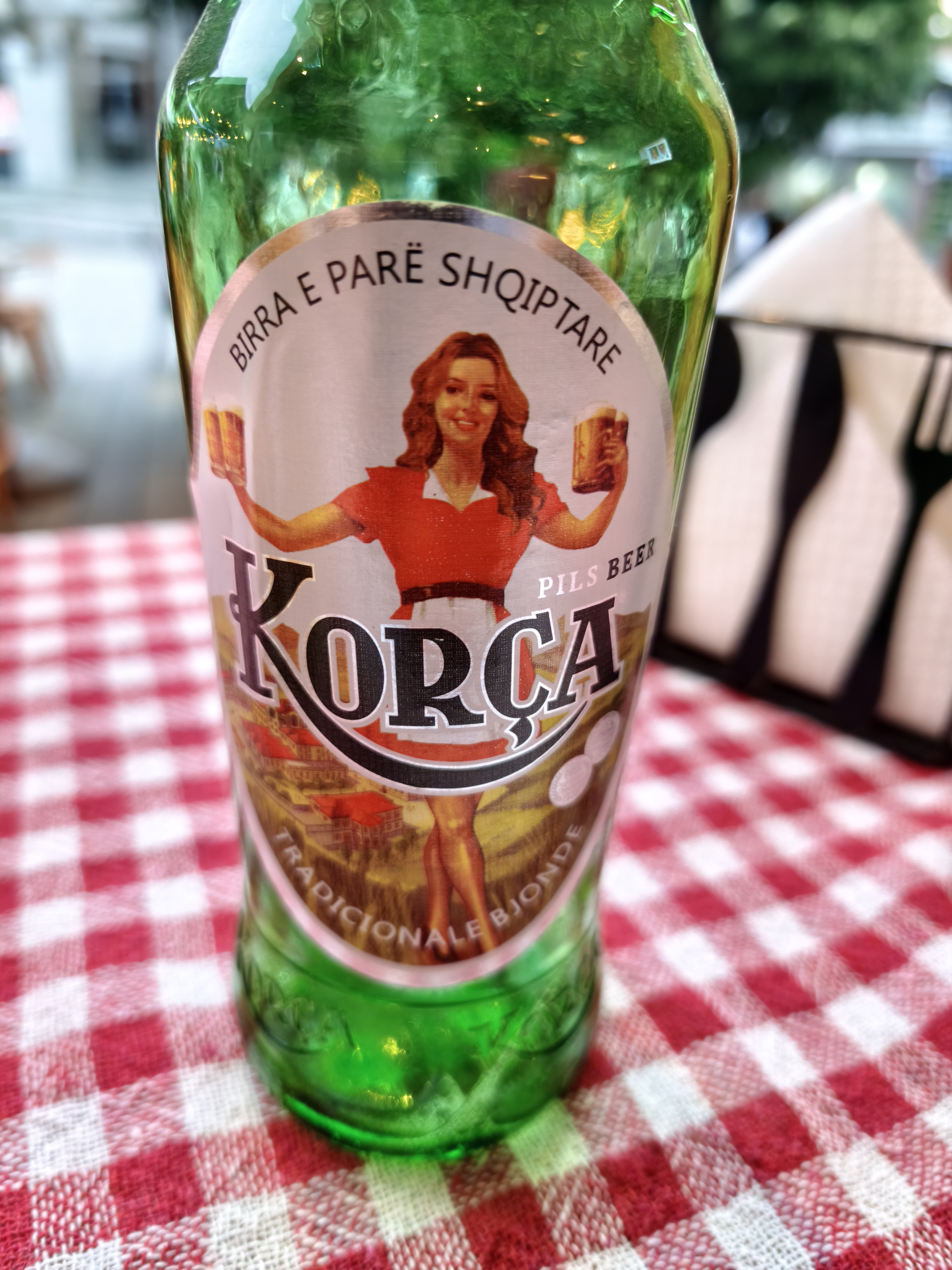
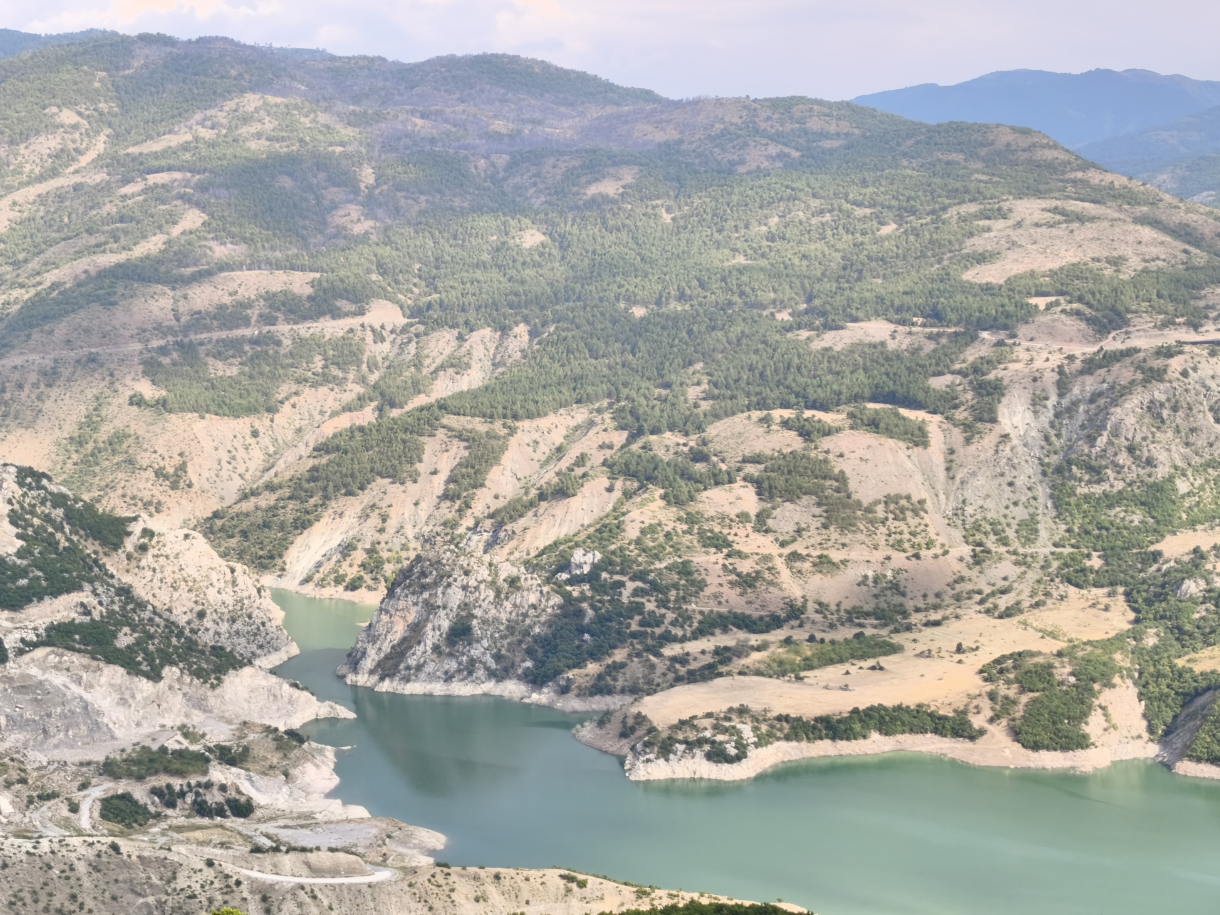
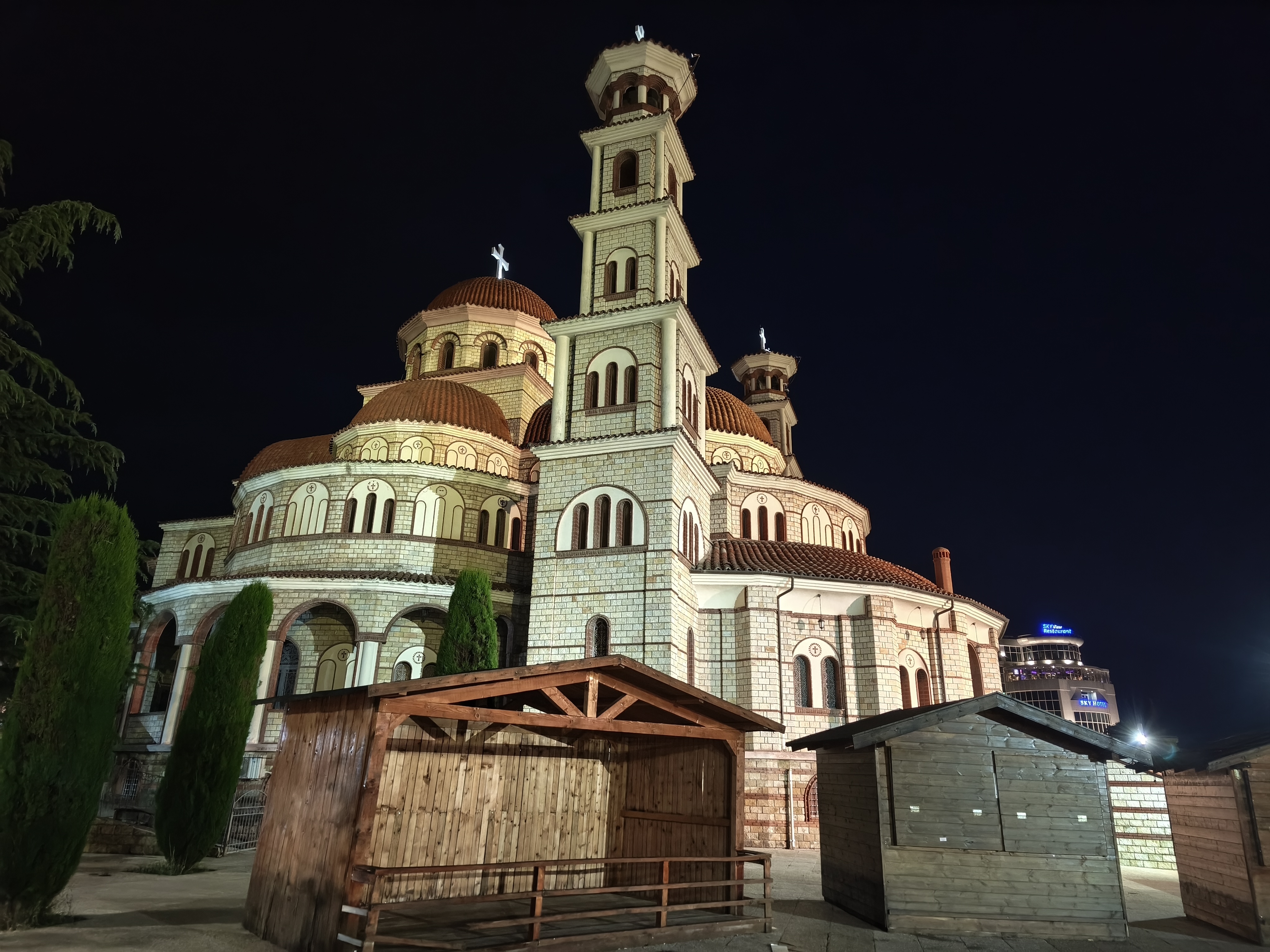
Waking up at 4:00 AM the next morning, a quick ride across to Ancona, and boarding the ferry to Durrës. Time to leave the European continent behind! Albania greets us with a scorching 39°C as soon as we roll off the boat. After a quick stop through the highly touristic town of Berat and its fortified Ottoman houses, we escape into the mountains of the Devoll Canyon: red rocks, waterfalls, and twisties galore. A stop on the Korçë plateau allows us to finally catch a breath of cool air. A recurring stop in this town deeply tied to French history, for the 4th time in a decade. The absence of an airport protects the area from mass tourism: Korçë is earned at the end of a scenic road. And while its century-old brewery is a very welcome bonus, the city has so many other reasons to charm, with a « progressive » atmosphere that sets it apart from the capital, Tirana.
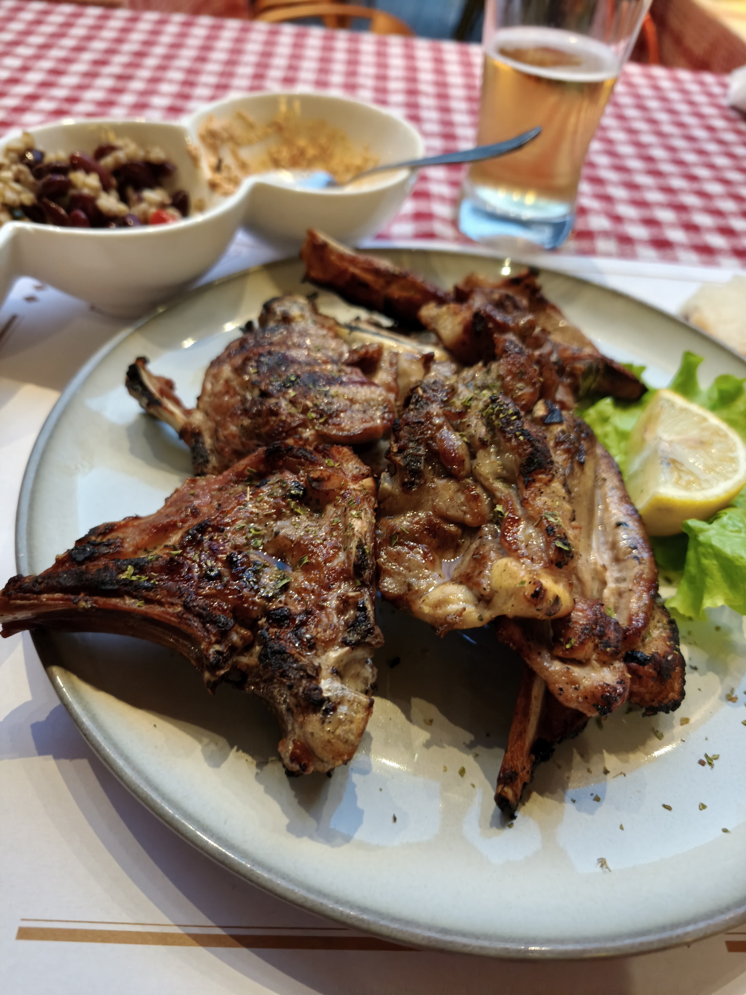
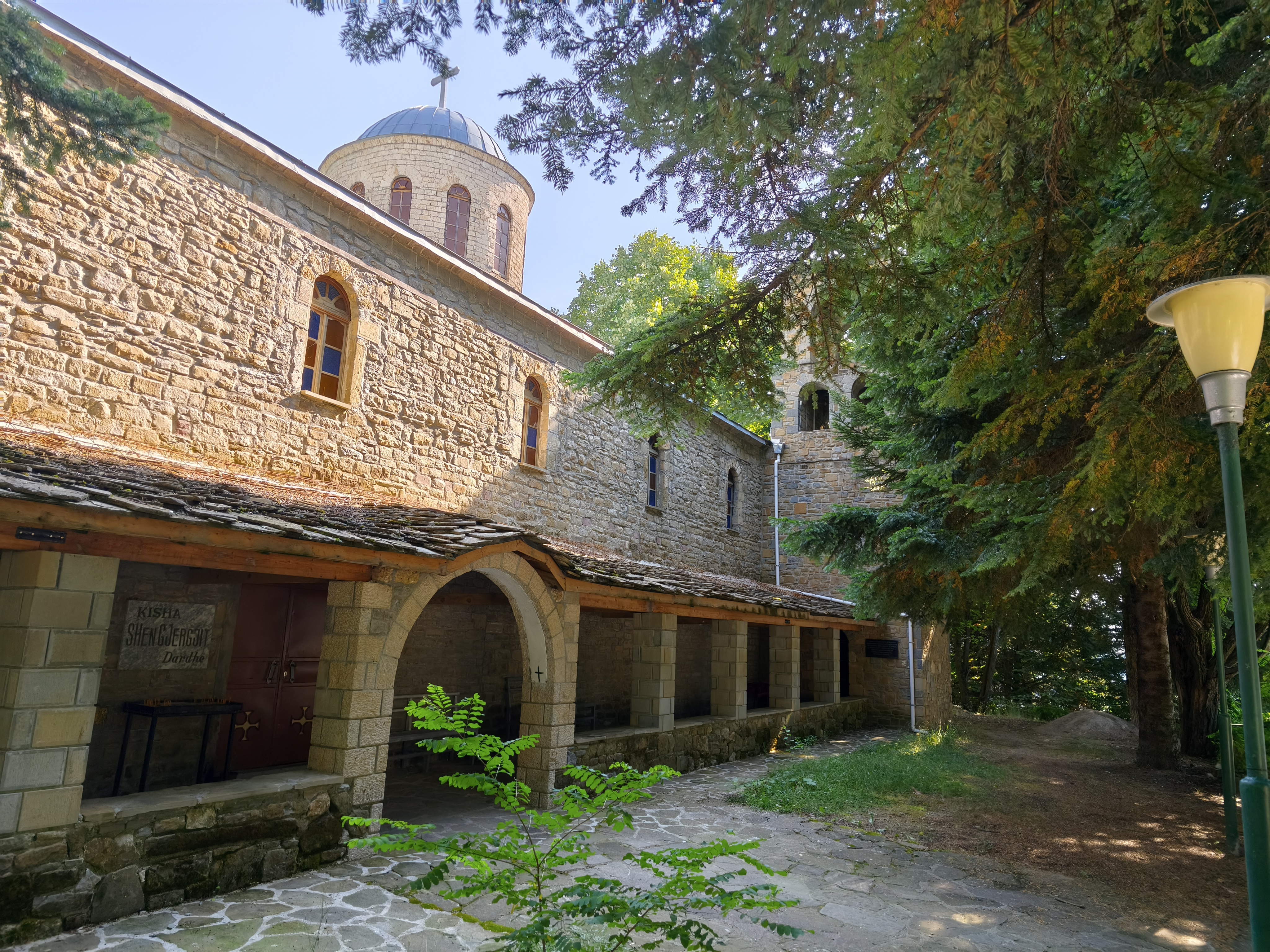
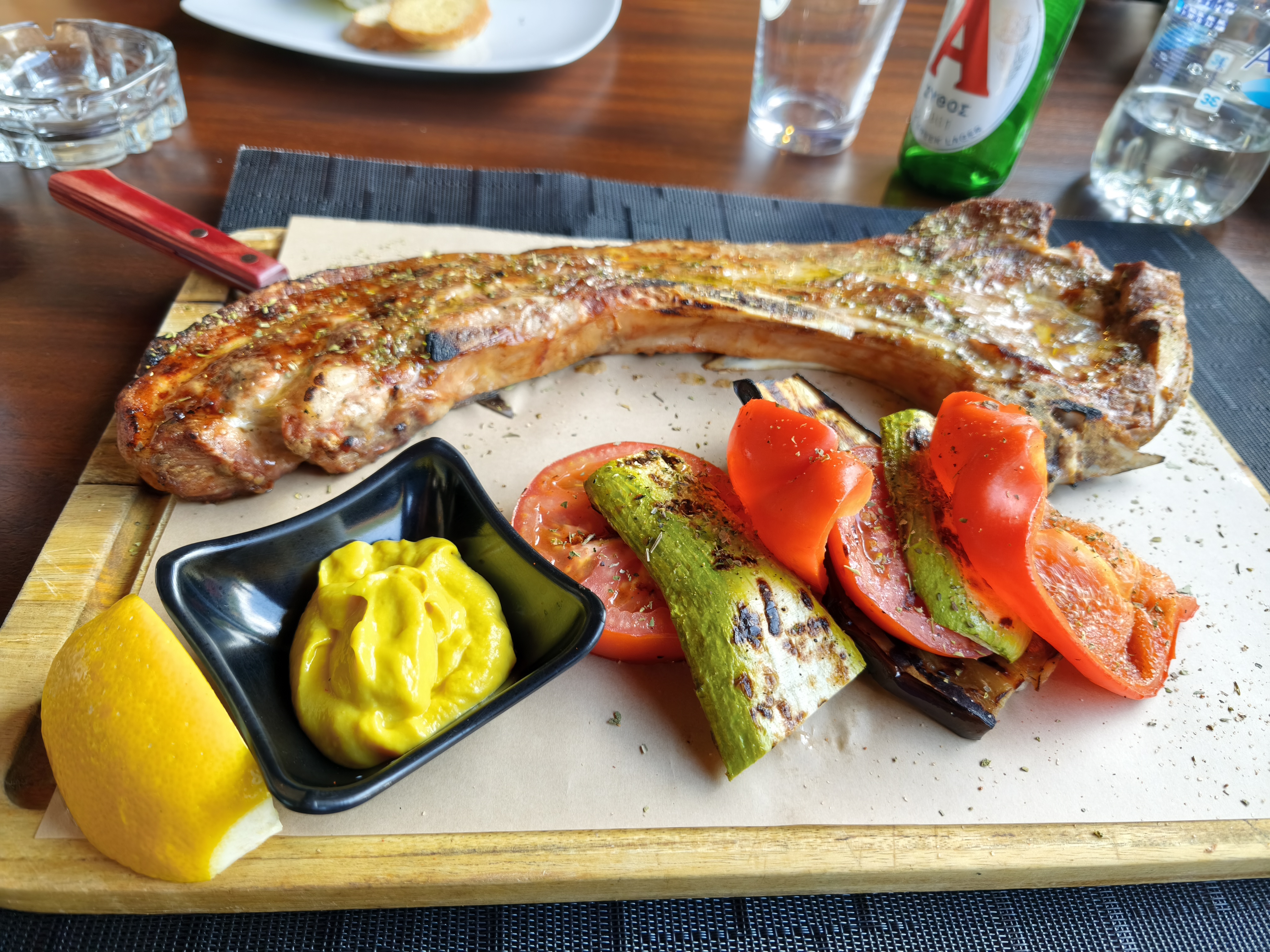
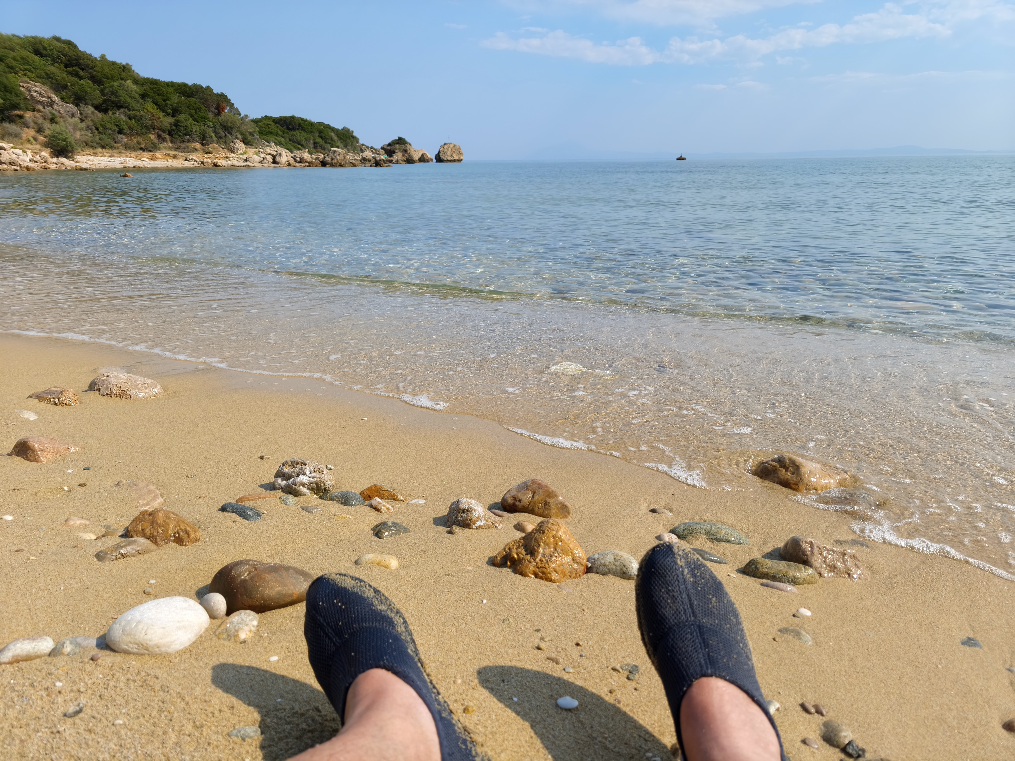
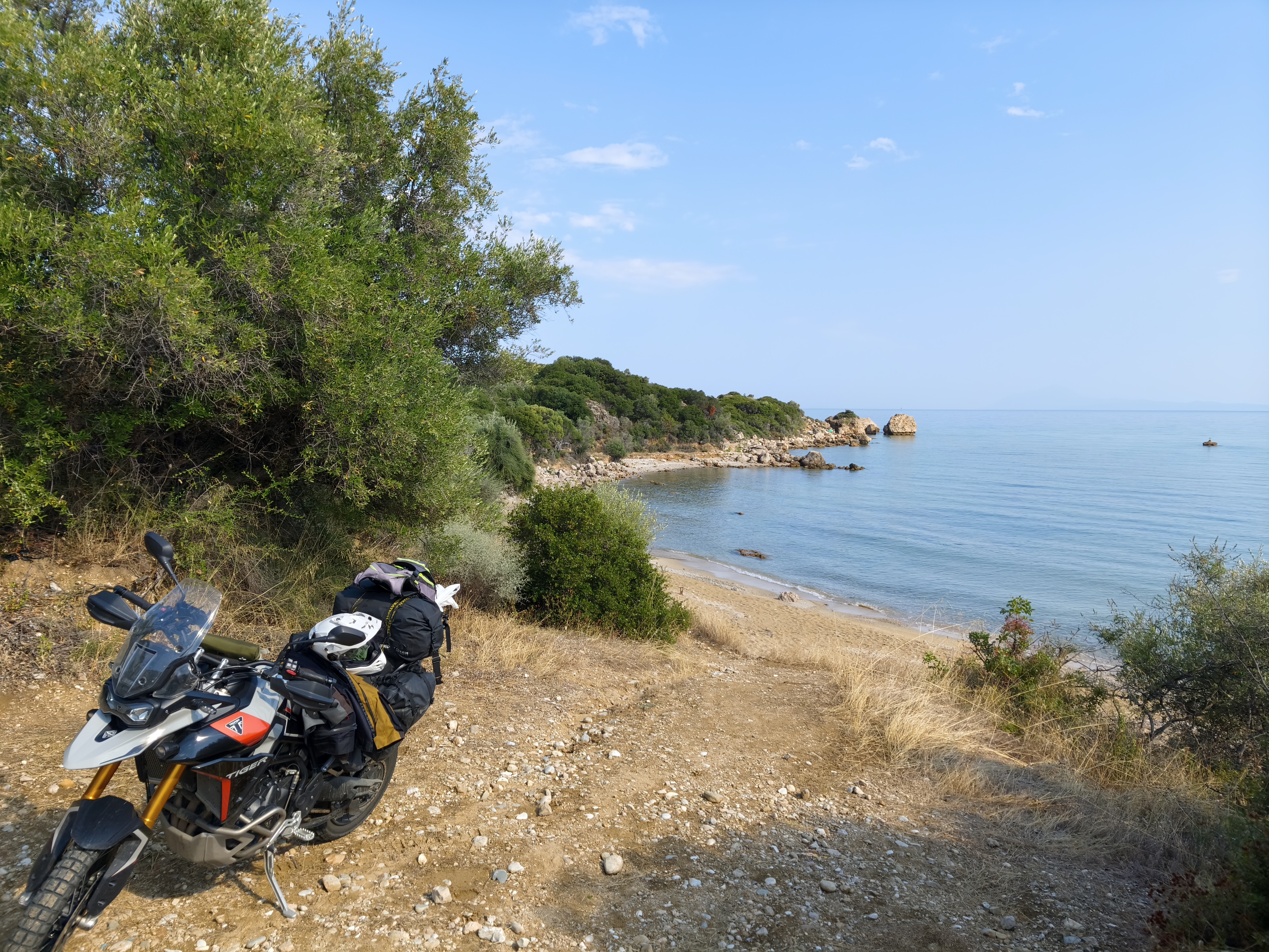
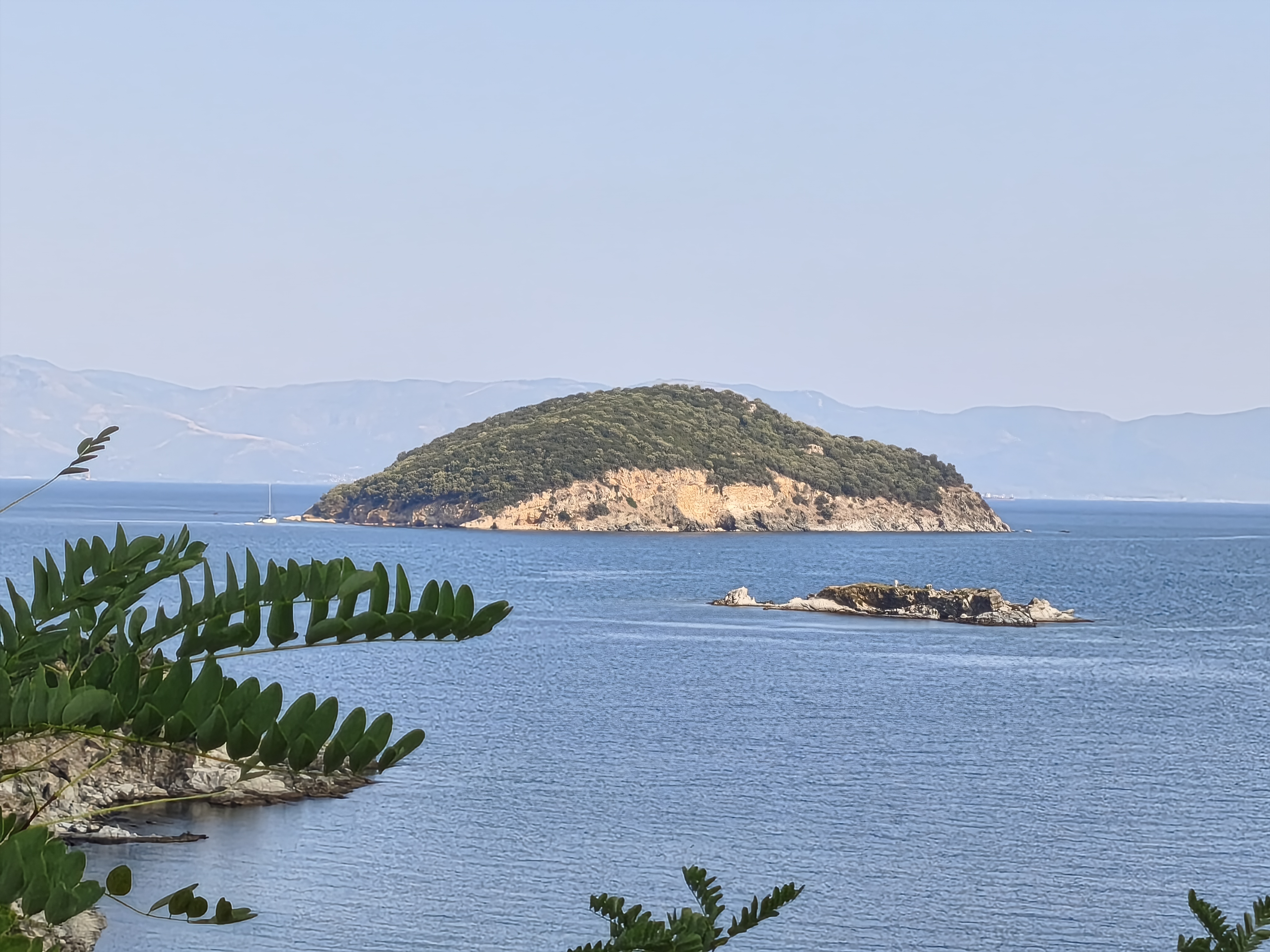
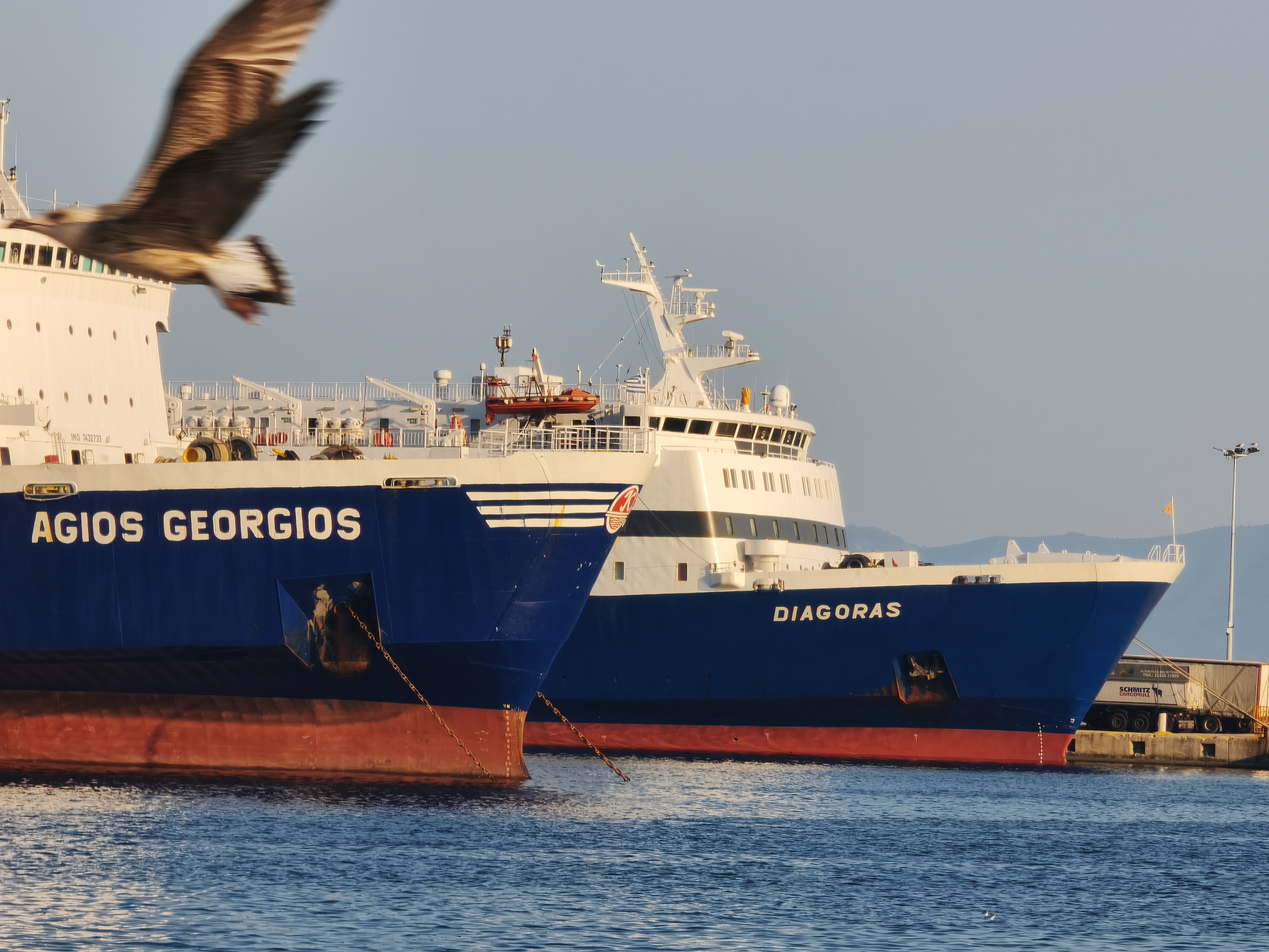
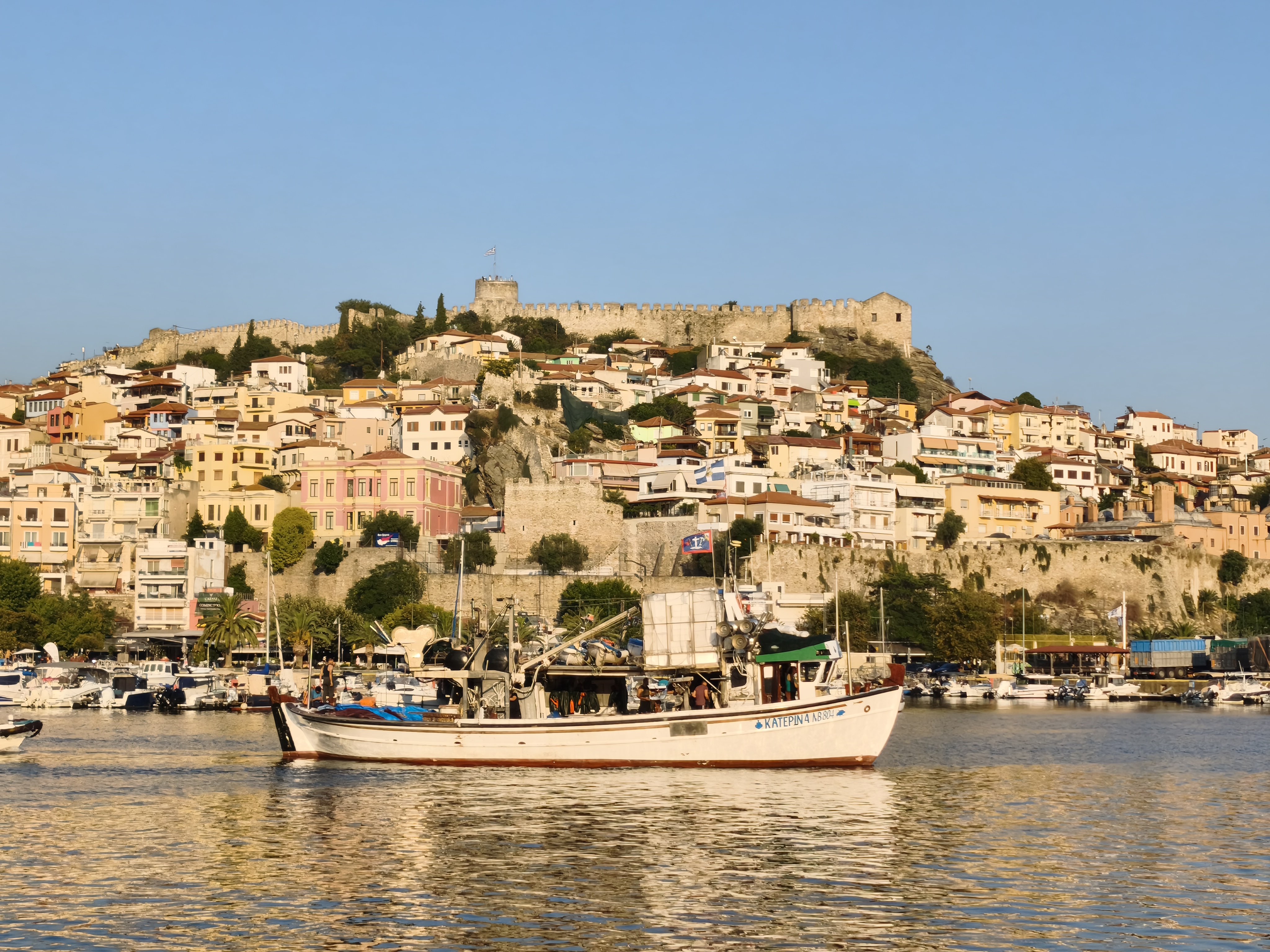
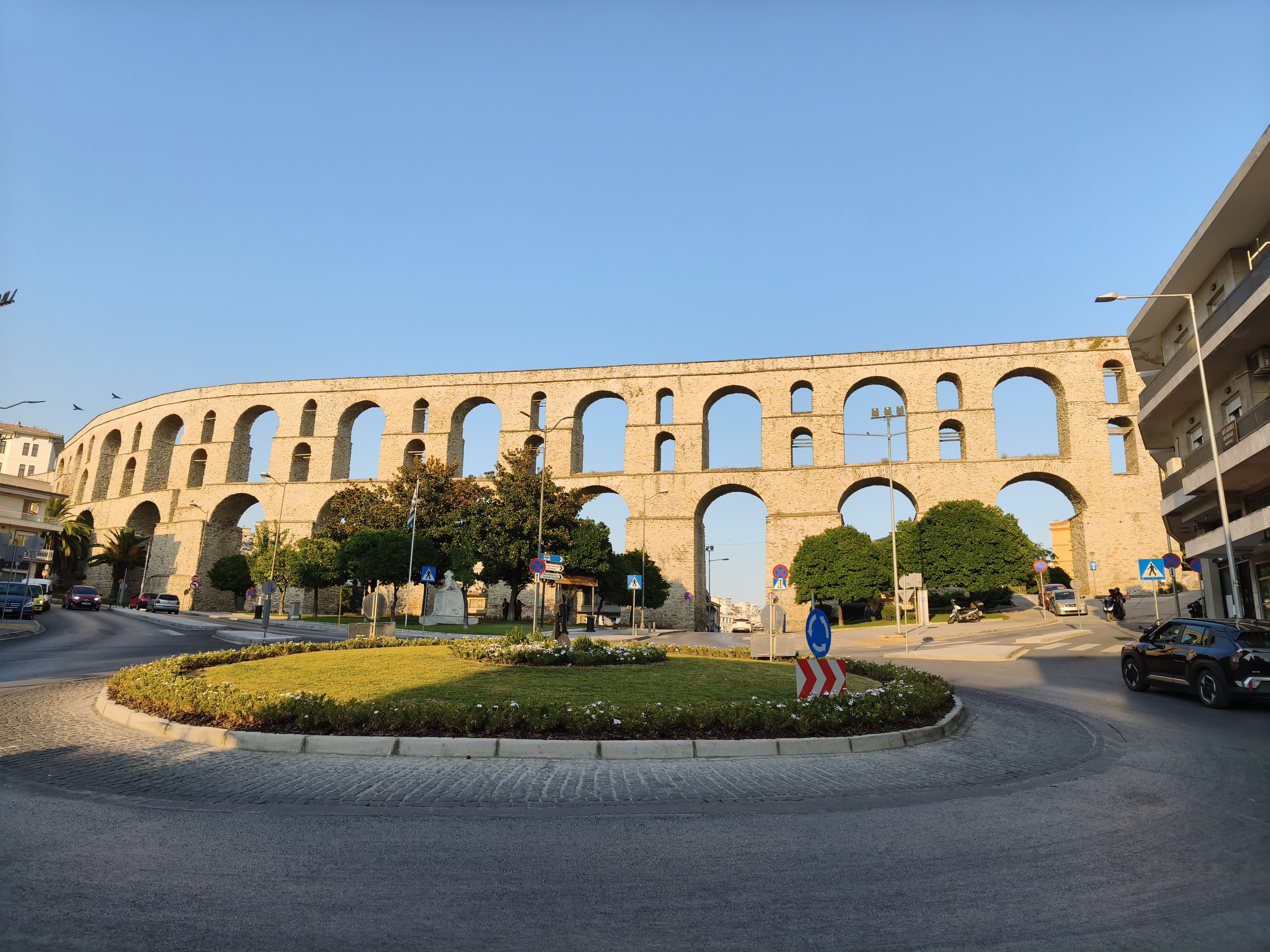
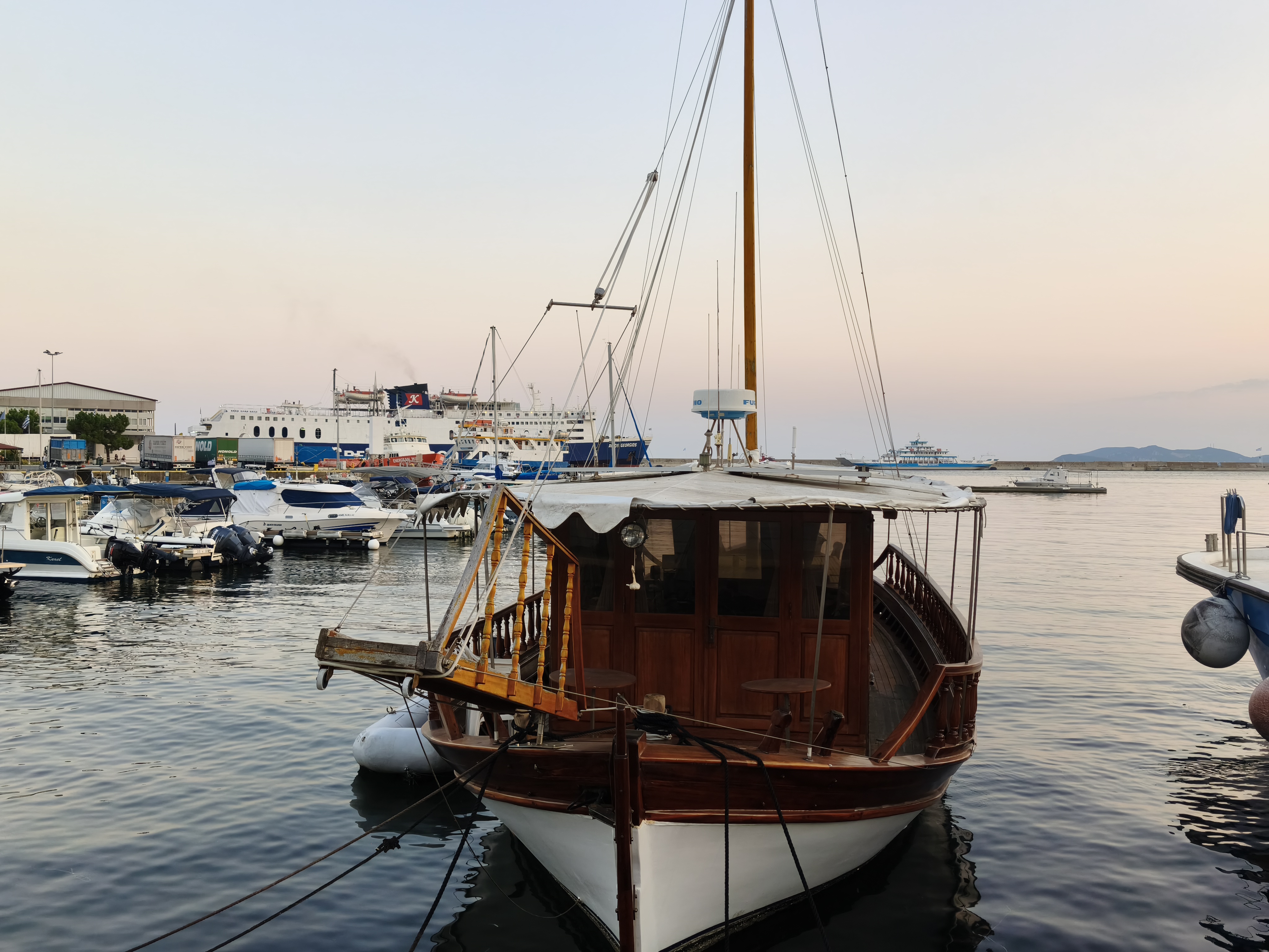
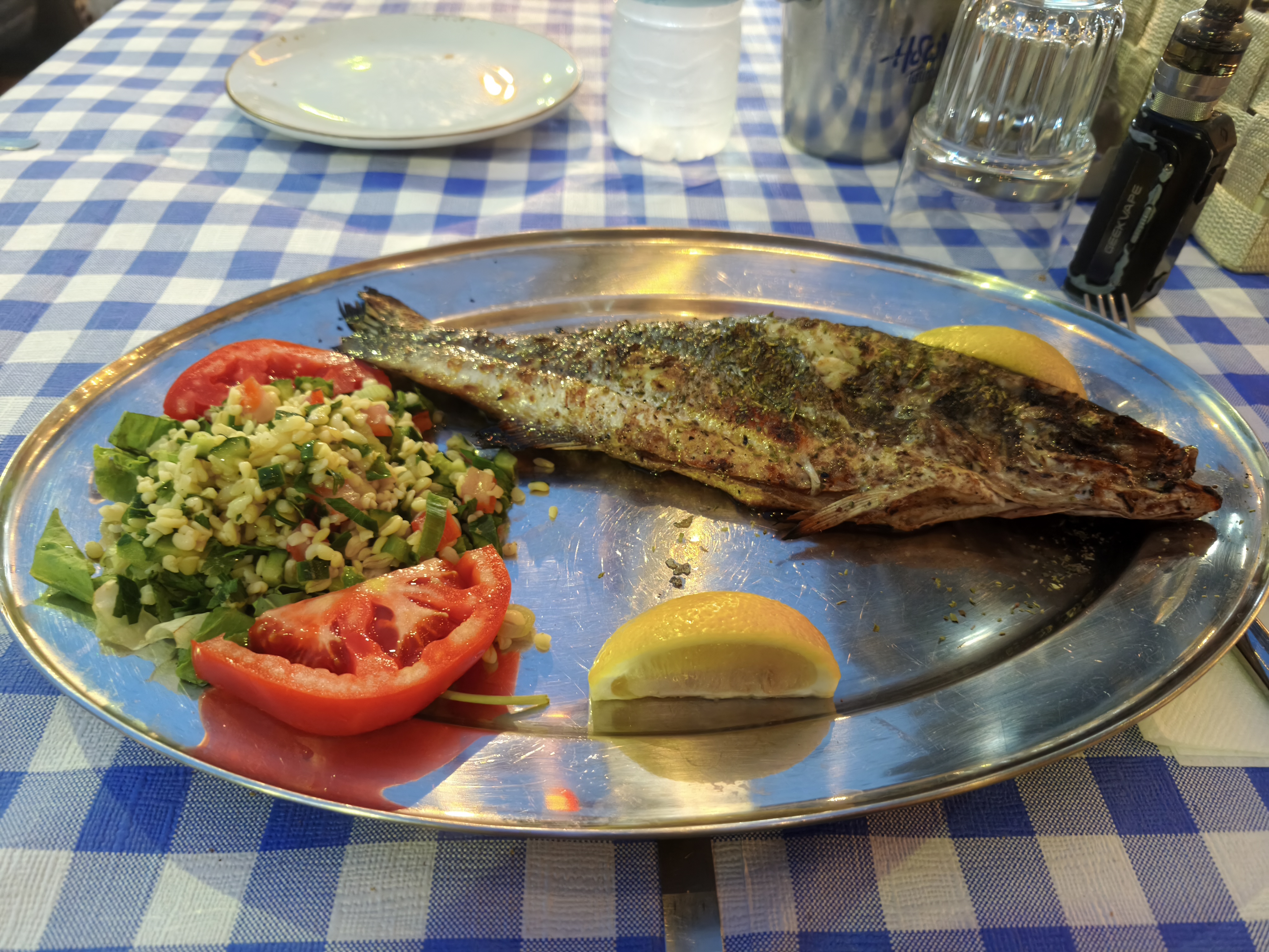
The ride across northern Greece alternates between 40 km of Albanian off-road tracks, highway through Greek Macedonia (I still hate highways just as much!), and a sublime coastal finale past Thessaloniki. It’s impossible to resist the call of a dusty trail leading to a deserted cove: an hour of swimming in crystal-clear water. In Kavala, a vibrant port facing the island of Thasos, the fresh fish is exceptional, especially when accompanied by a glass of Ouzo!
Comme souvent, le voyage commence par l’épreuve du ruban d’asphalte : 755 km d’autoroute monotone à travers le sud de la France et le nord de l’Italie pour rejoindre Gênes. L’effort est immédiatement récompensé par un arrêt dans un coin (pas si) secret: la Spiaggia di Boccadasse, un véritable petit « cinque terre » urbain coincé entre deux falaises, à l’écart de l’agitation urbaine.
Réveil à 4h du matin le lendemain, traversée rapide jusqu’à Ancône et embarquement sur le ferry pour Durrës. Il est temps de laisser le continent européen derrière soi ! L’Albanie nous accueille avec une fournaise à 39°C dès la sortie du bateau. Après un passage rapide par la très touristique ville de Berat et ses maisons ottomanes fortifiées, nous nous échappons vers les montagnes du canyon de Devoll : roches rouges, cascades et virages à foison. Halte sur le plateau de Korçë où l’air retrouve enfin sa fraîcheur. Une étape dans cette ville profondément liée à l’histoire française, pour la 4e fois en une décennie. L’absence d’aéroport préserve les lieux du tourisme de masse : Korçë se mérite au terme d’une belle route. Et si sa brasserie centenaire est un bonus fort appréciable, la cité a tant d’autres raisons de séduire, avec une ambiance « progressiste » qui la différencie de la capitale Tirana.
La traversée du nord de la Grèce alterne 40 km de pistes off-road albanaises, de l’autoroute à travers la Macédoine grecque (je déteste toujours autant les autoroutes !), et un sublime final côtier après Thessalonique. Impossible de résister à l’appel d’une piste poussiéreuse menant à une crique déserte : une heure de baignade dans une eau cristalline. À Kavala, port vibrant faisant face à l’île de Thasos, le poisson frais est exceptionnel, surtout escorté d’un verre d’Ouzo !
Part II: The Anatolian Odyssey – Day by Day in Turkey (Days 5 to 29)
Day #5: Kavala – Istanbul. Distance: 445 km (Road) + 5 km on foot & 25 km by boat
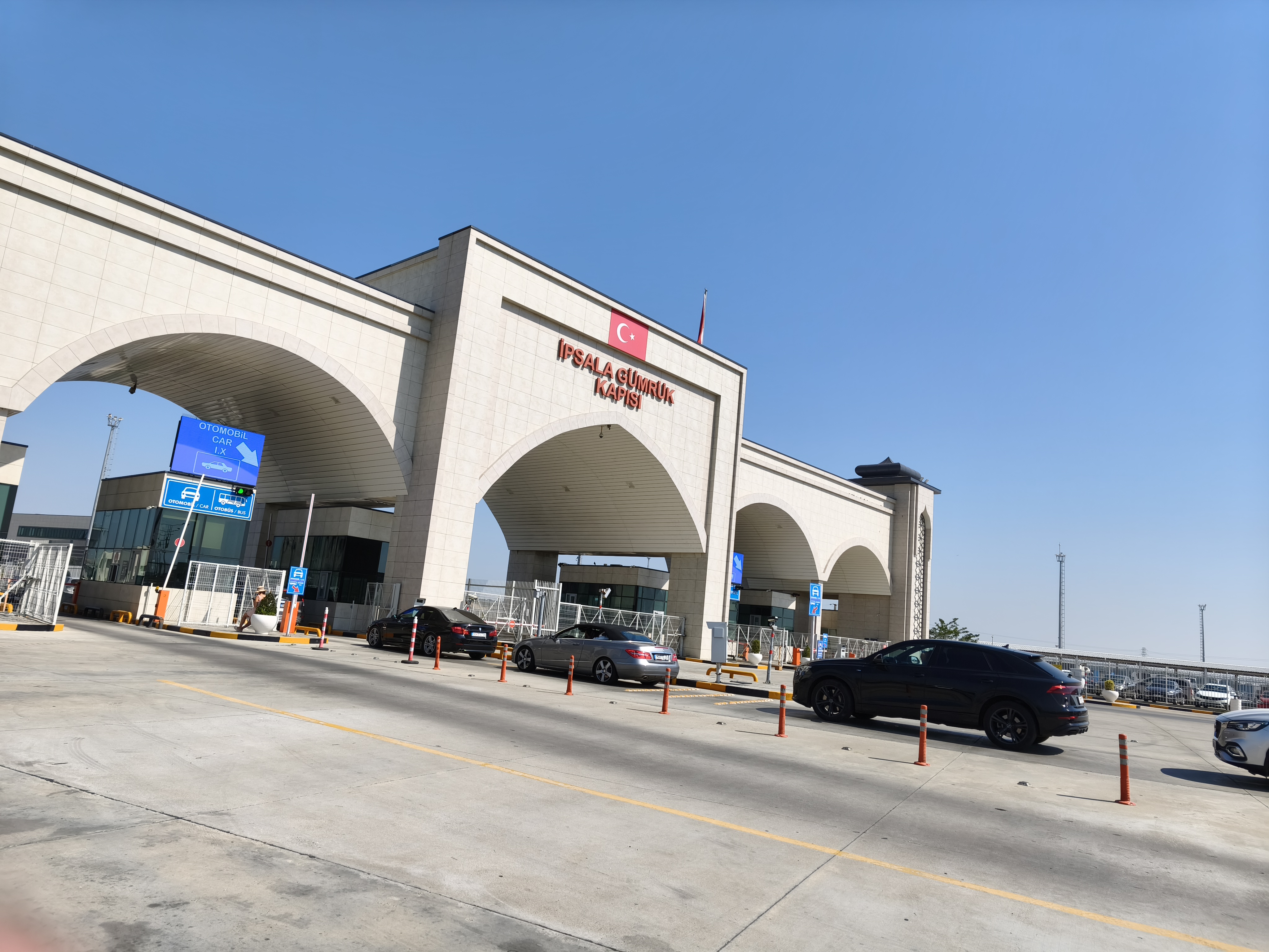
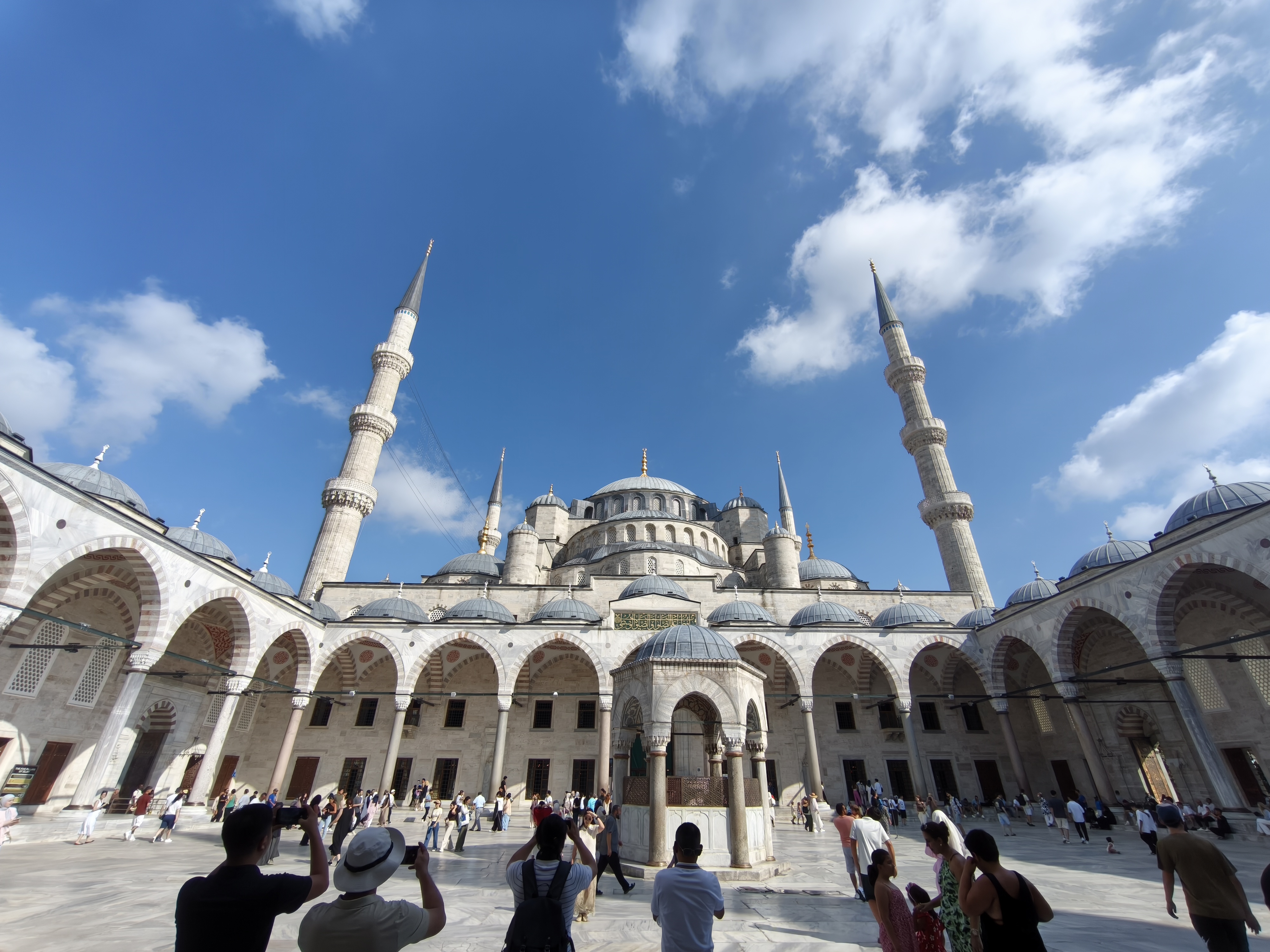
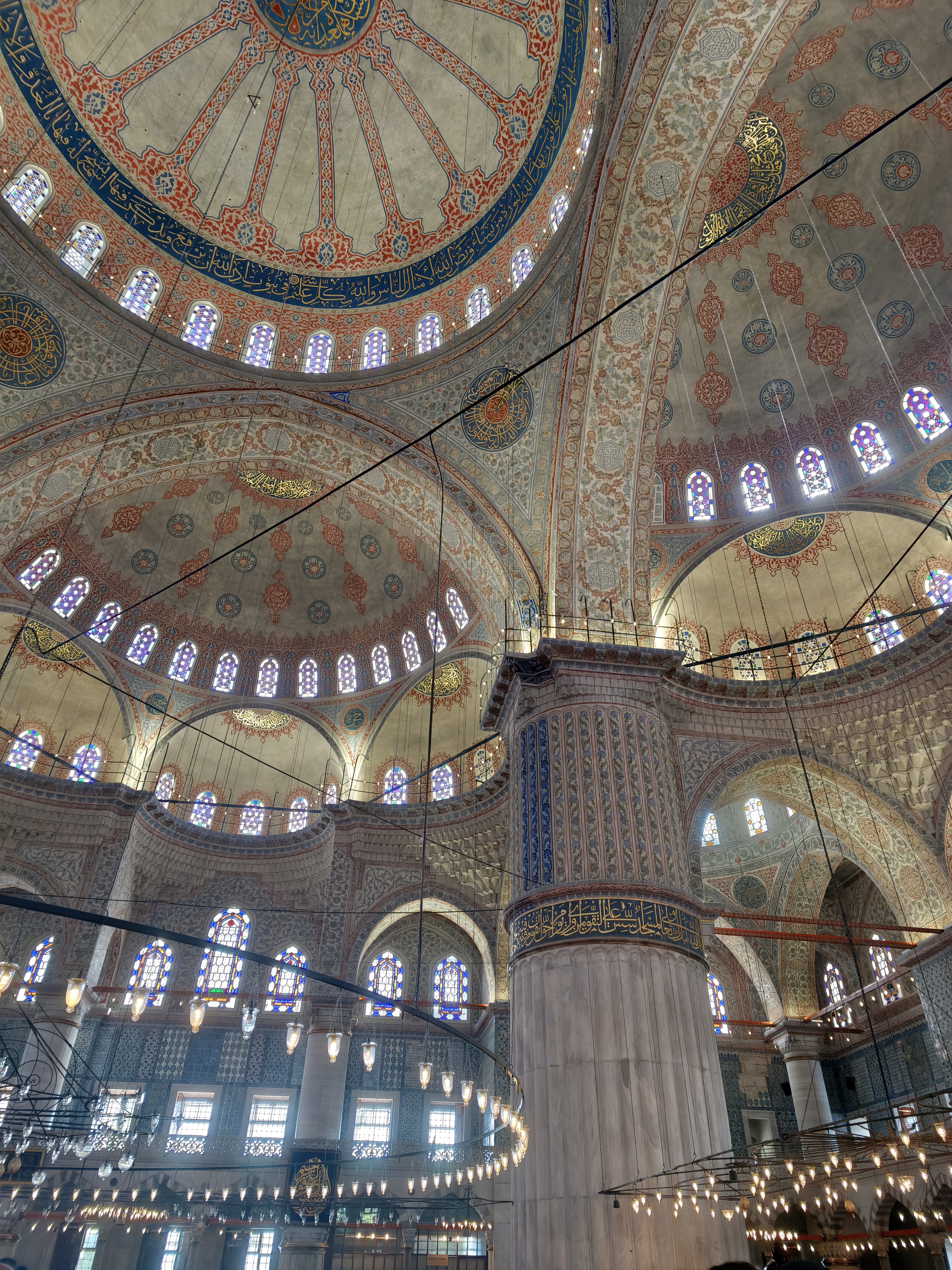
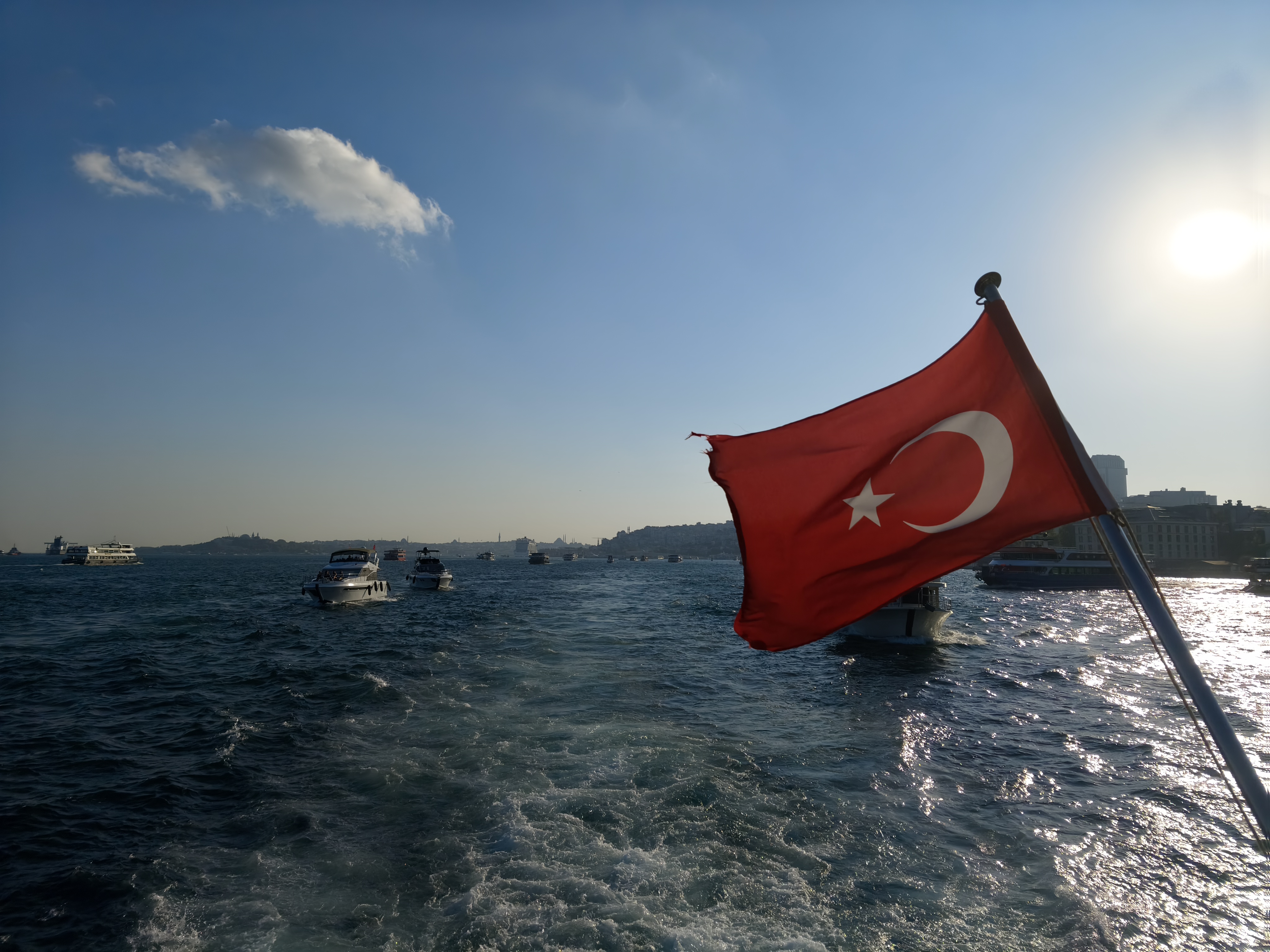
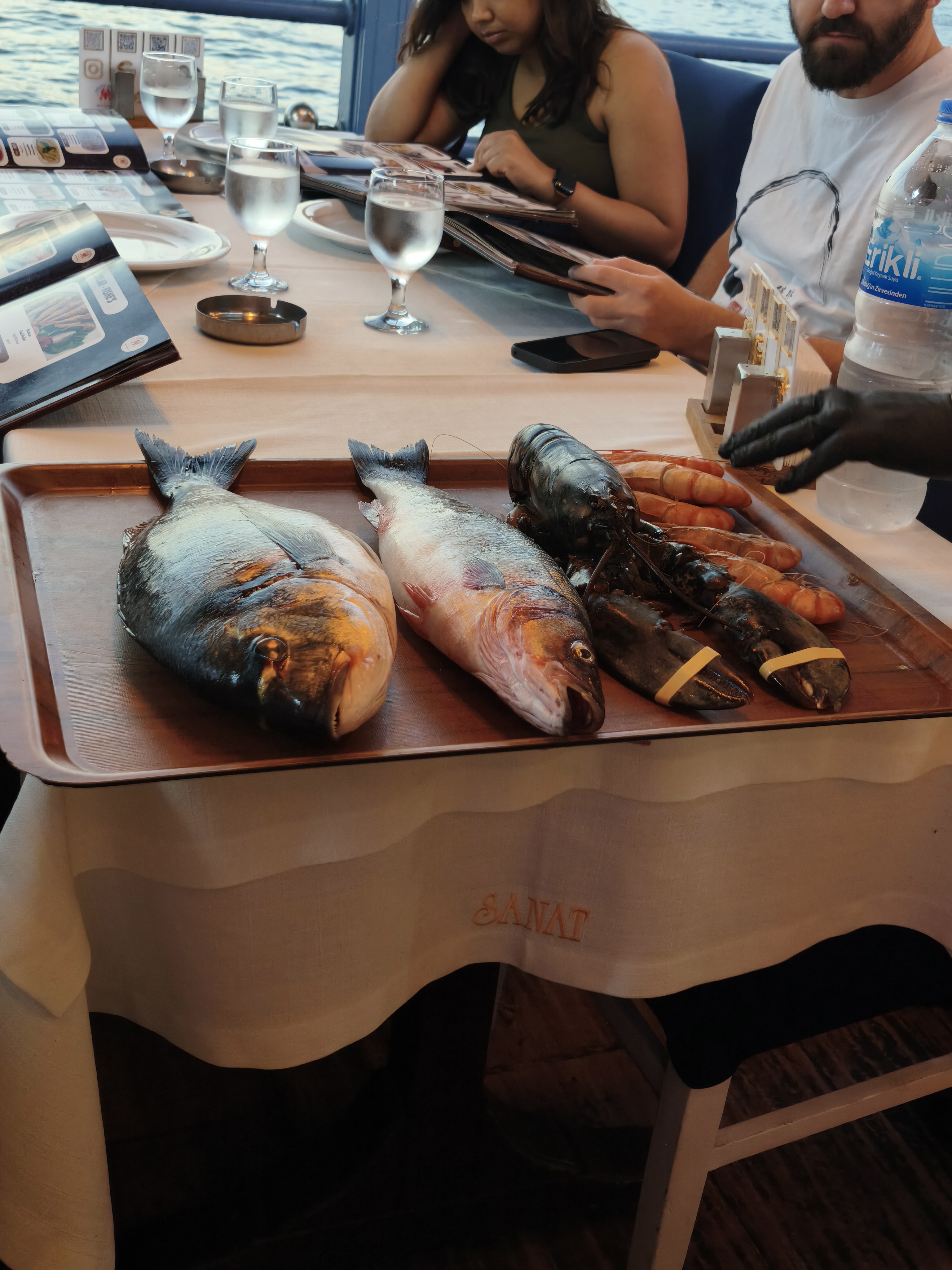
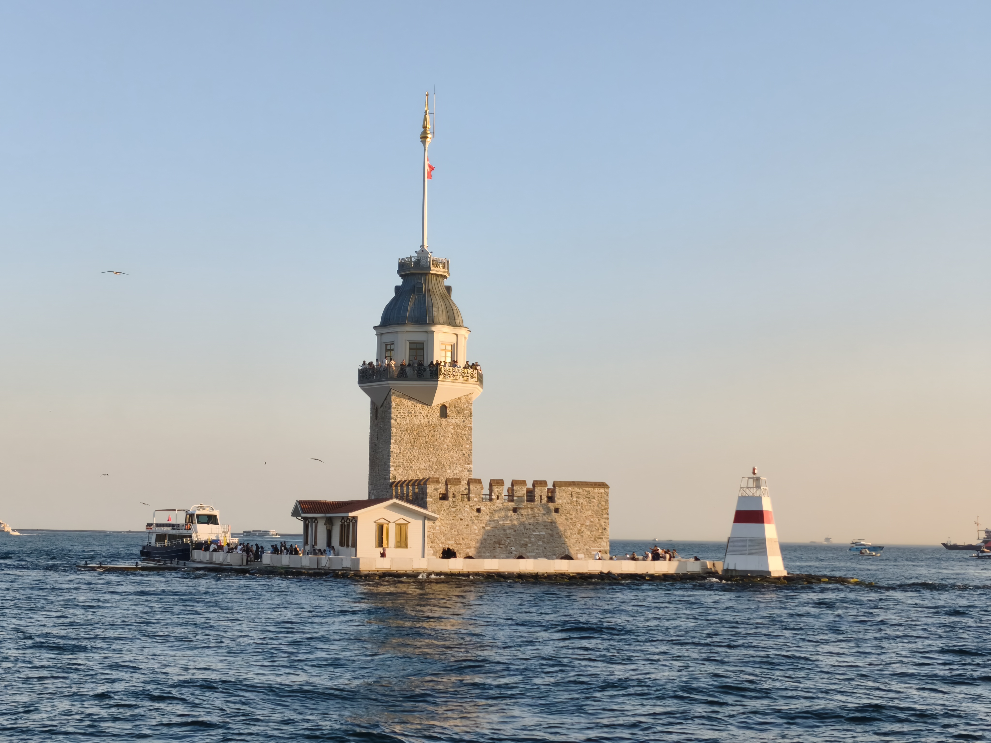
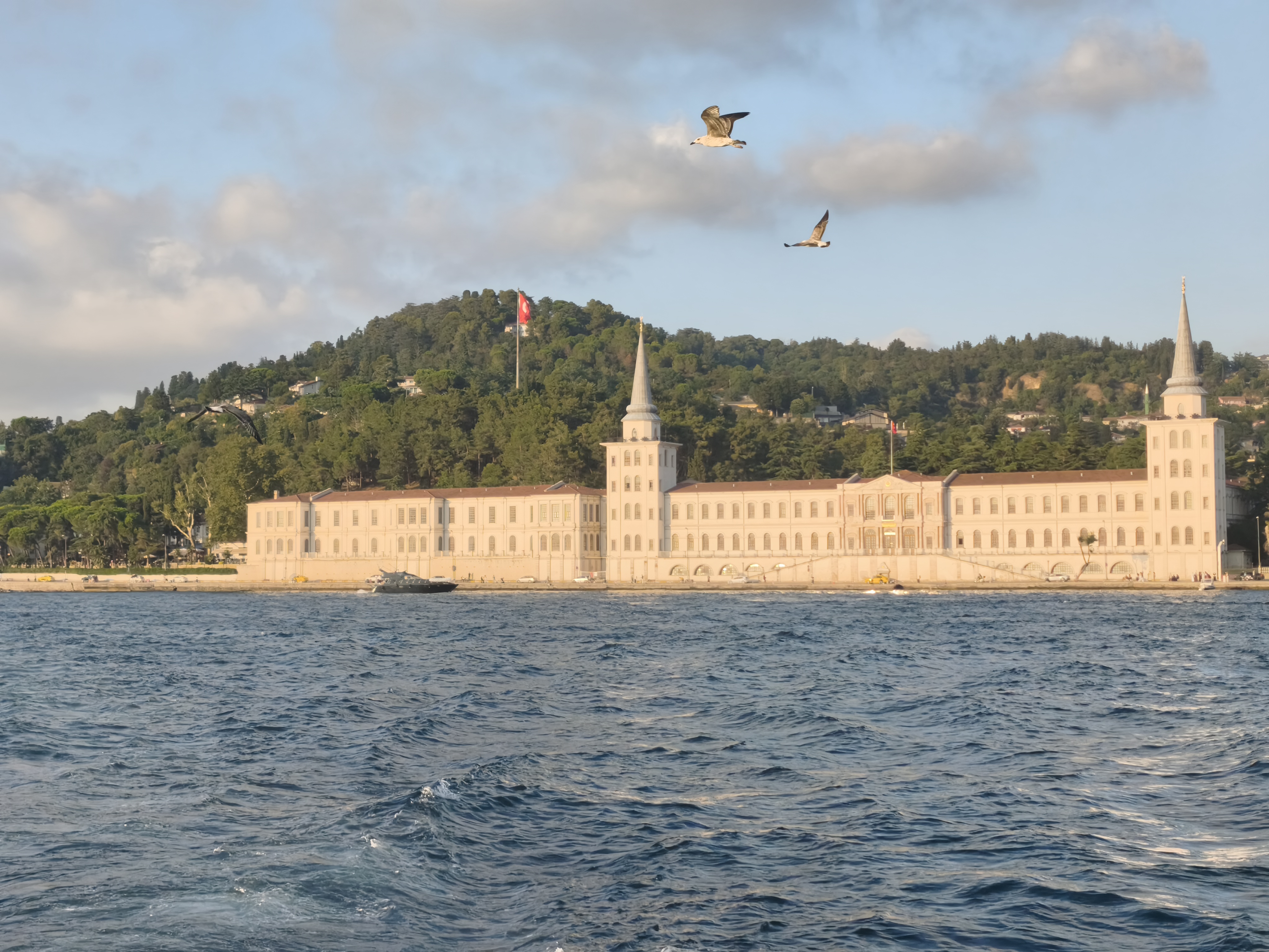
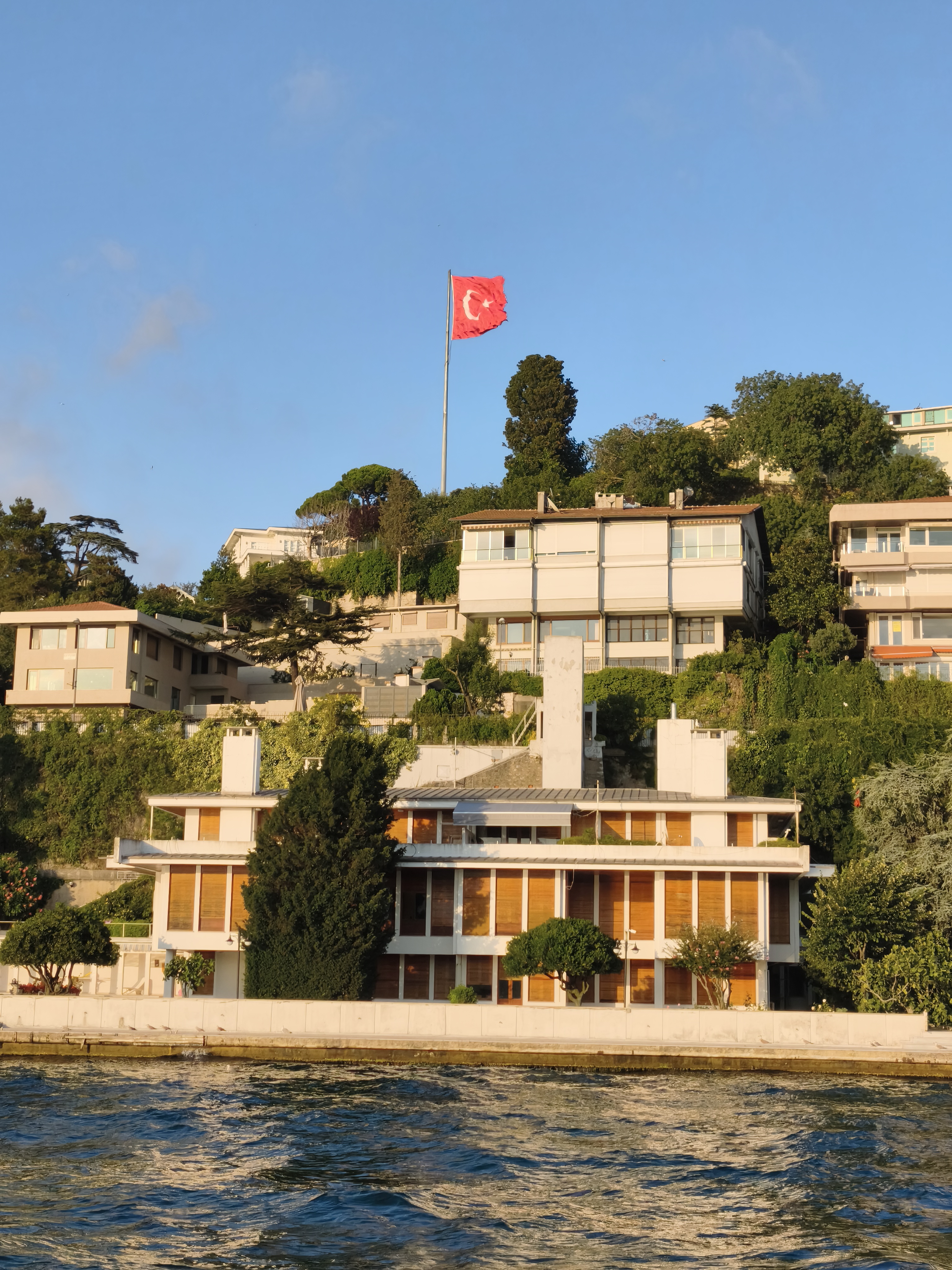
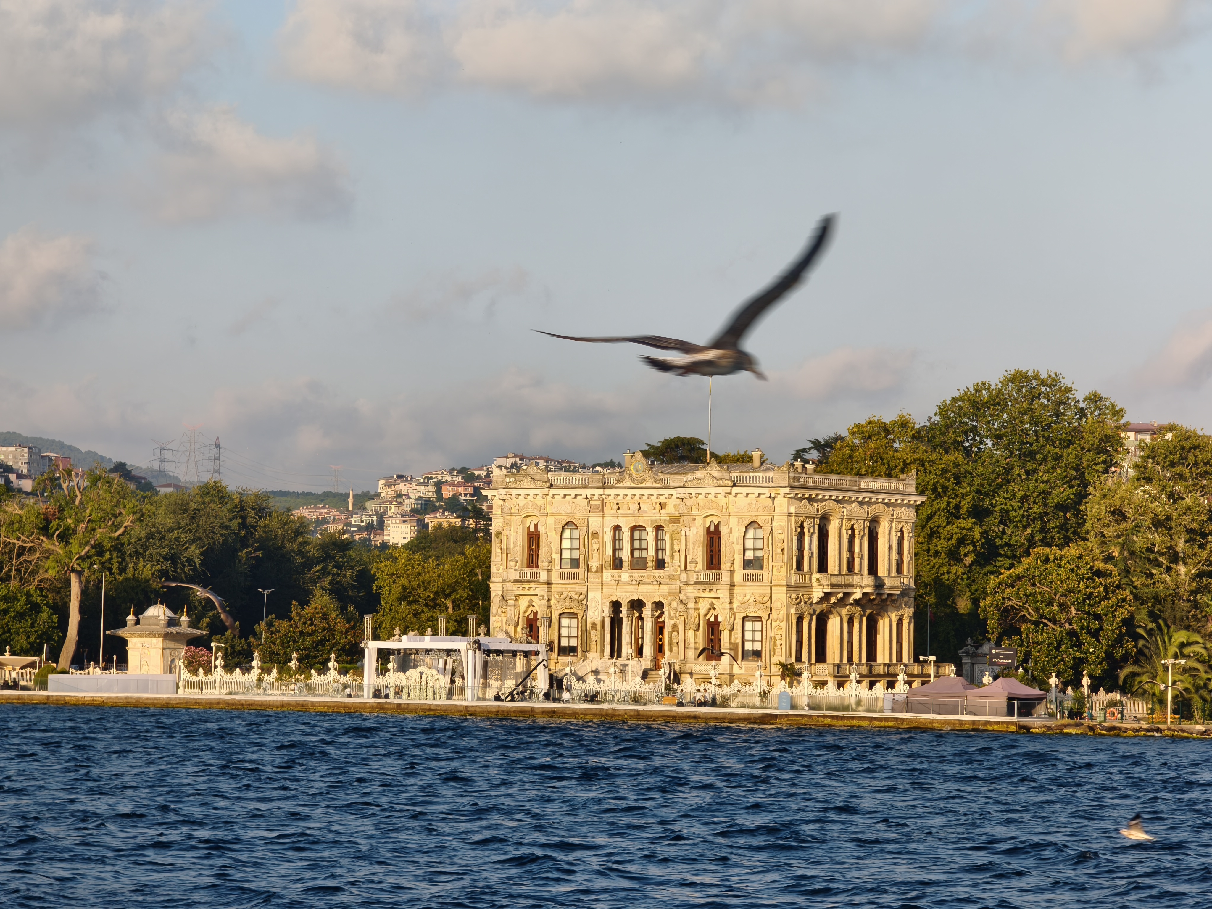
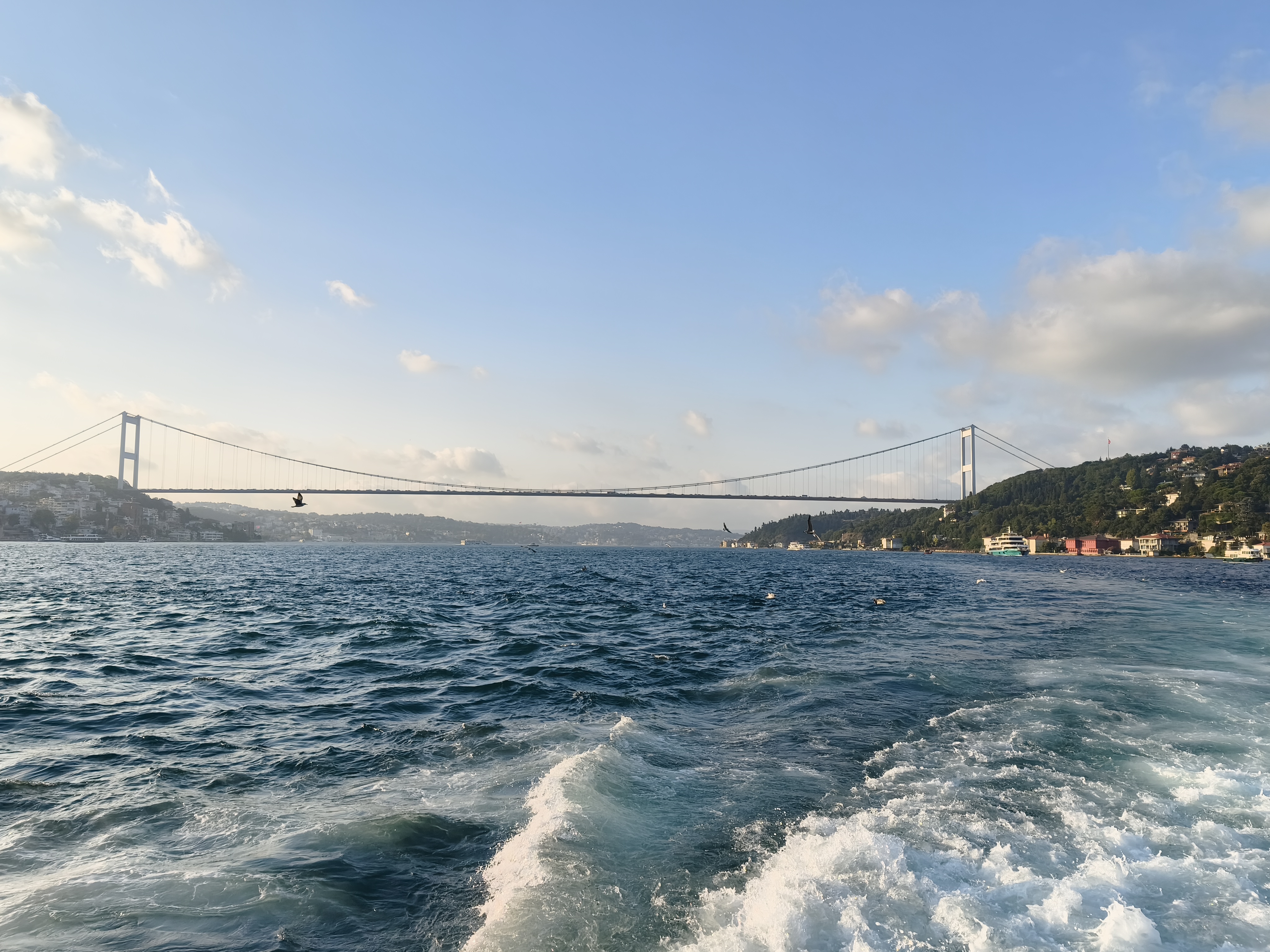
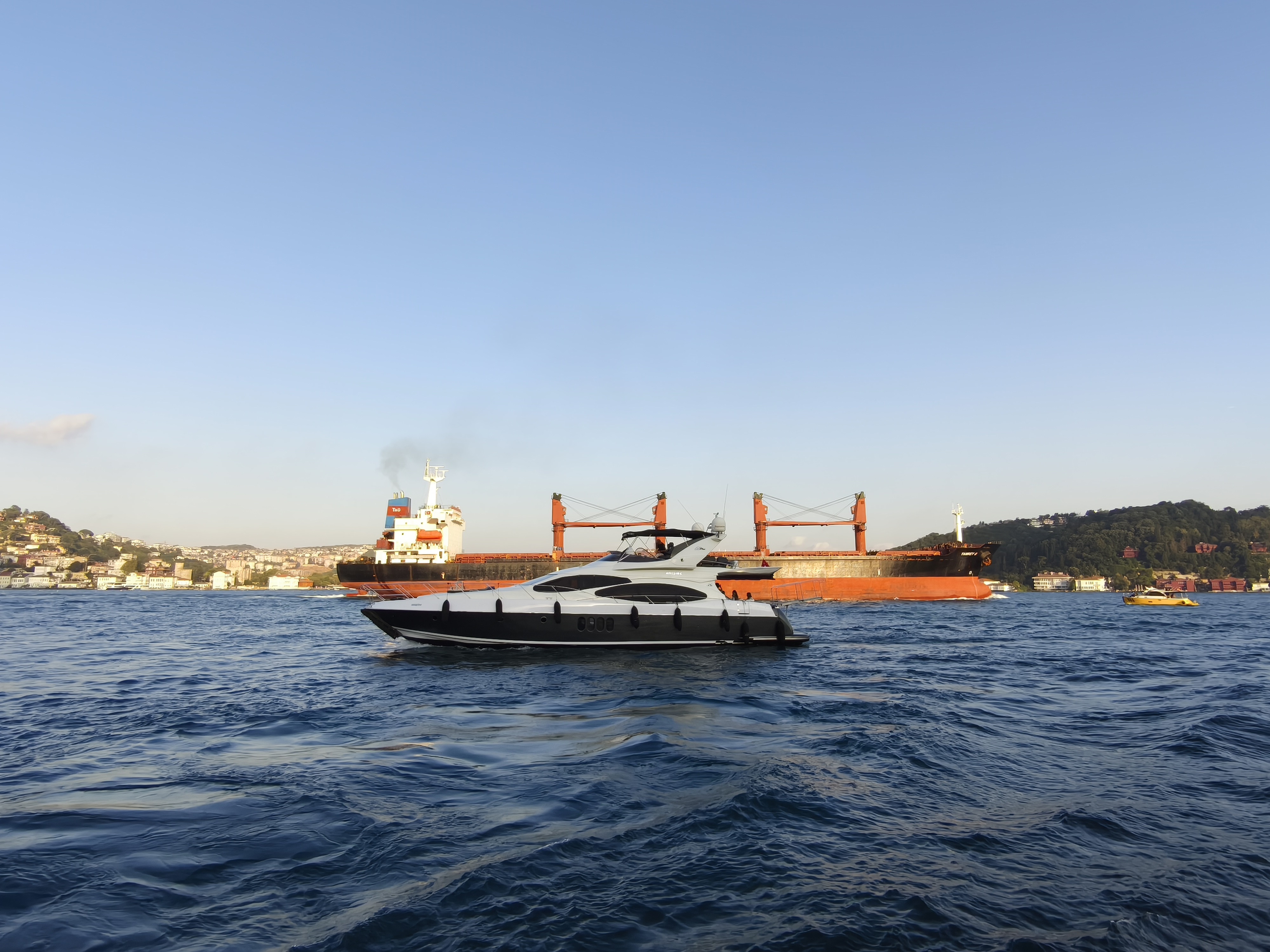
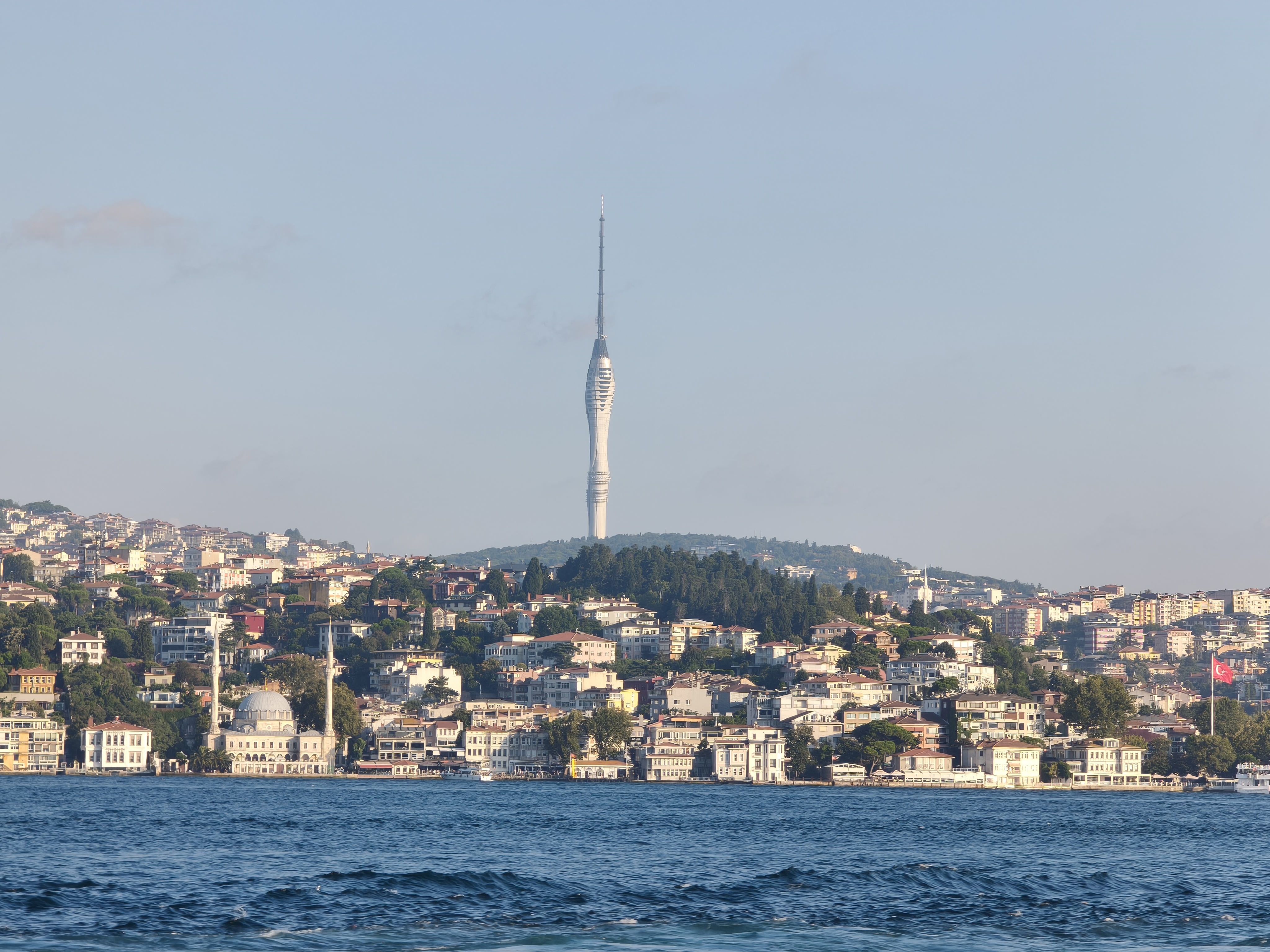
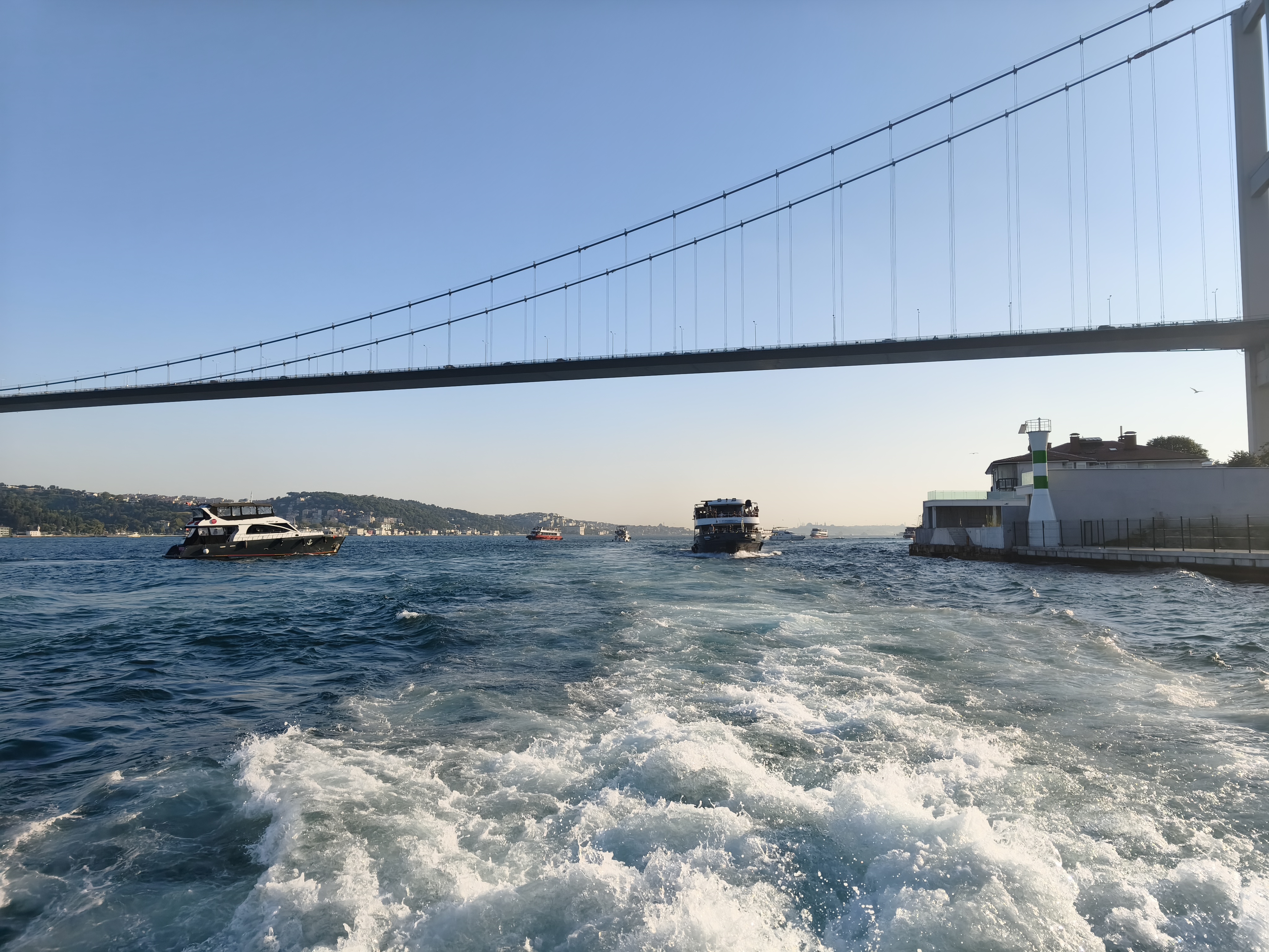
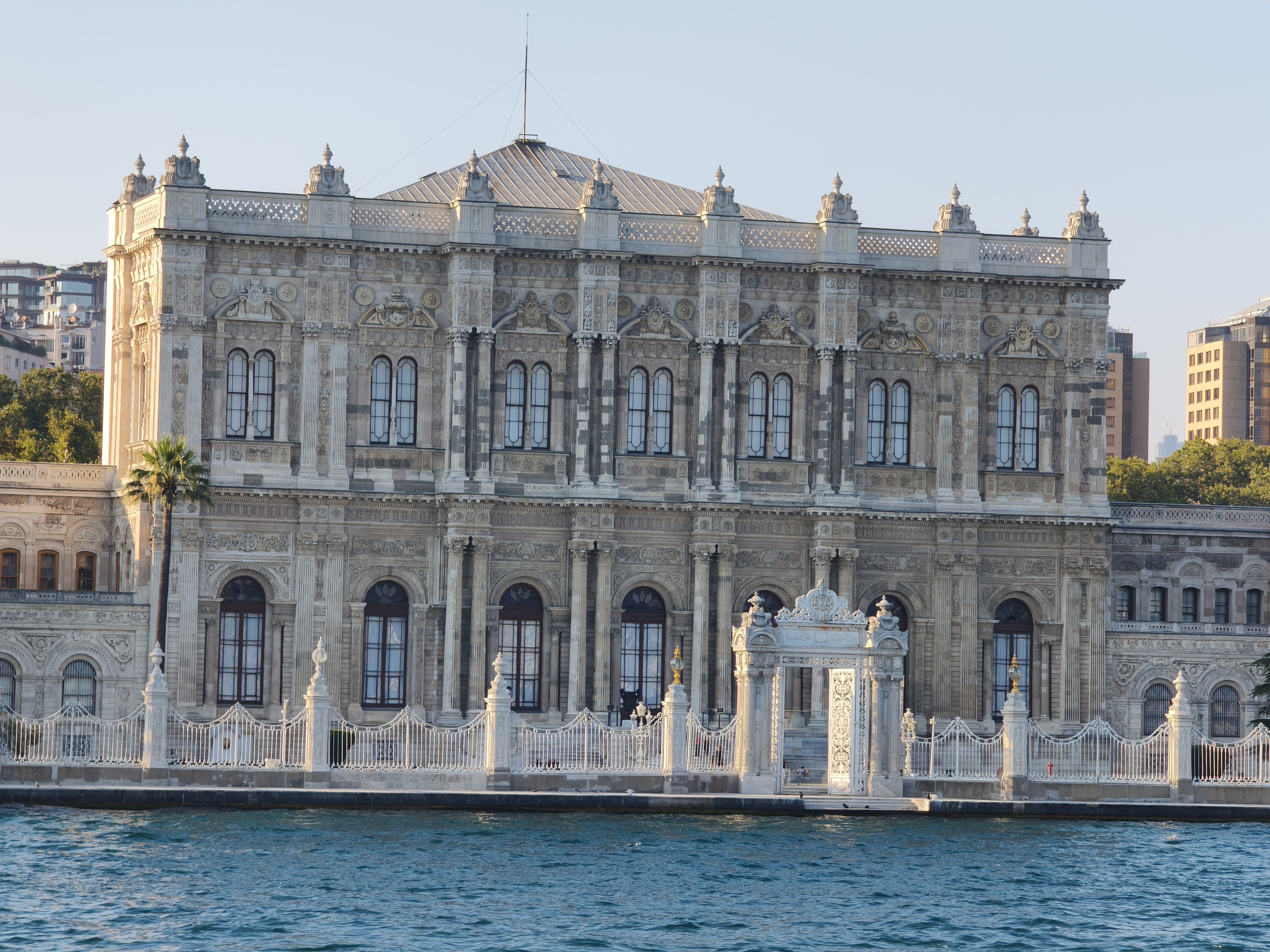
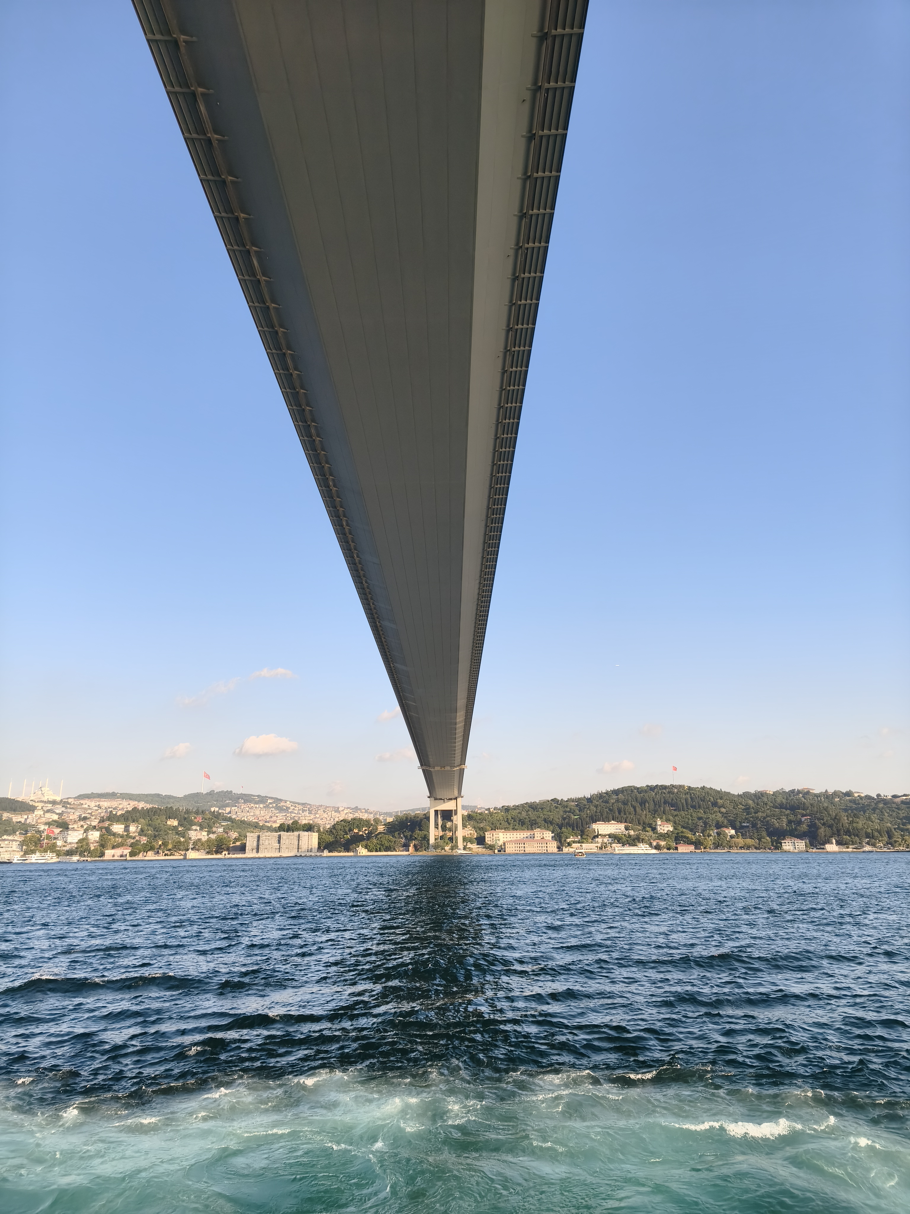
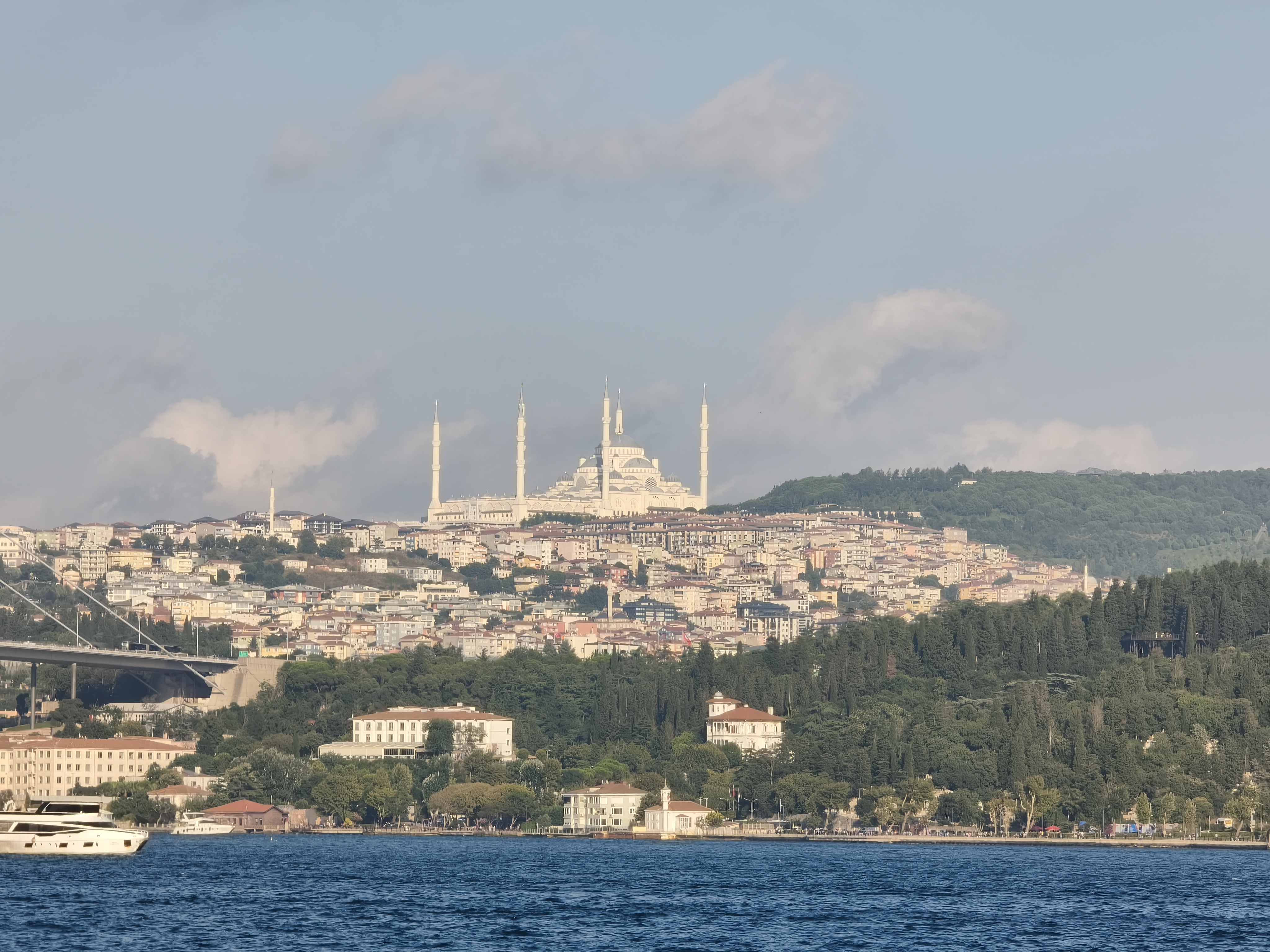
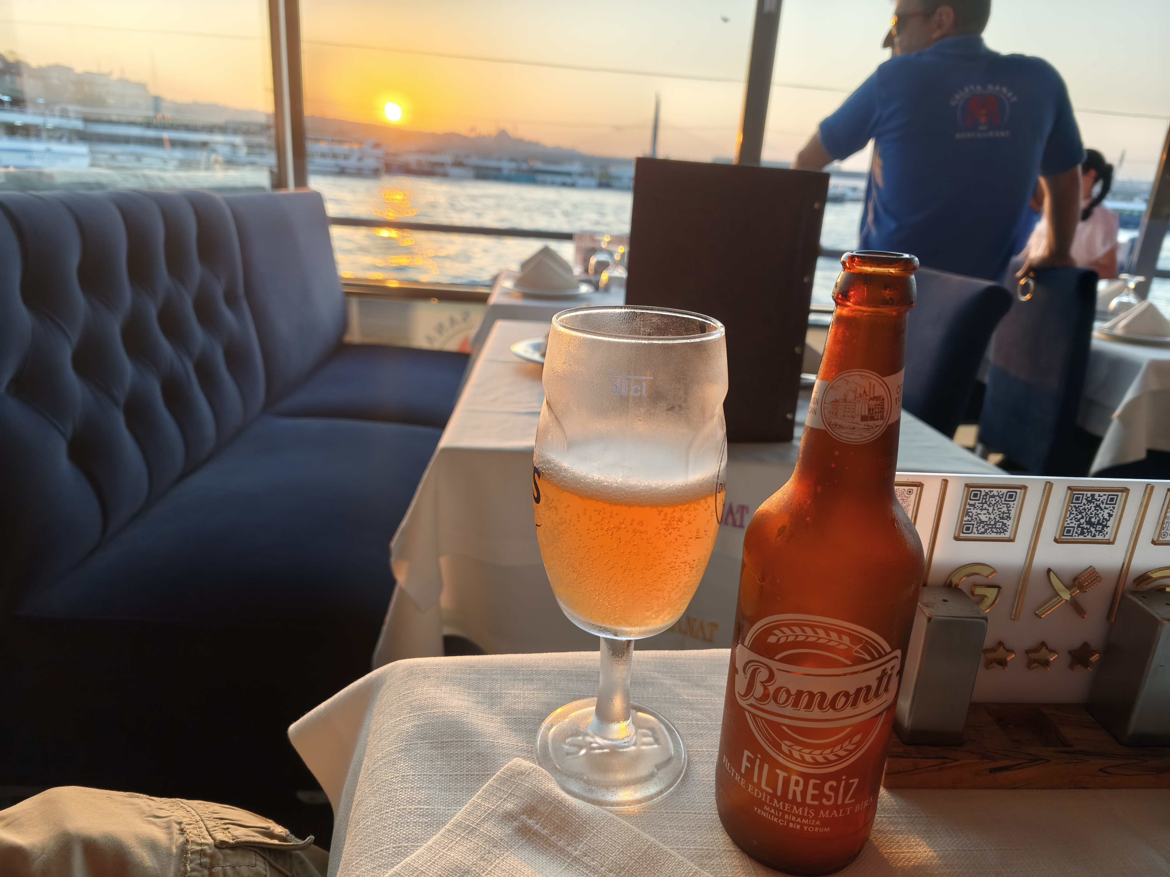
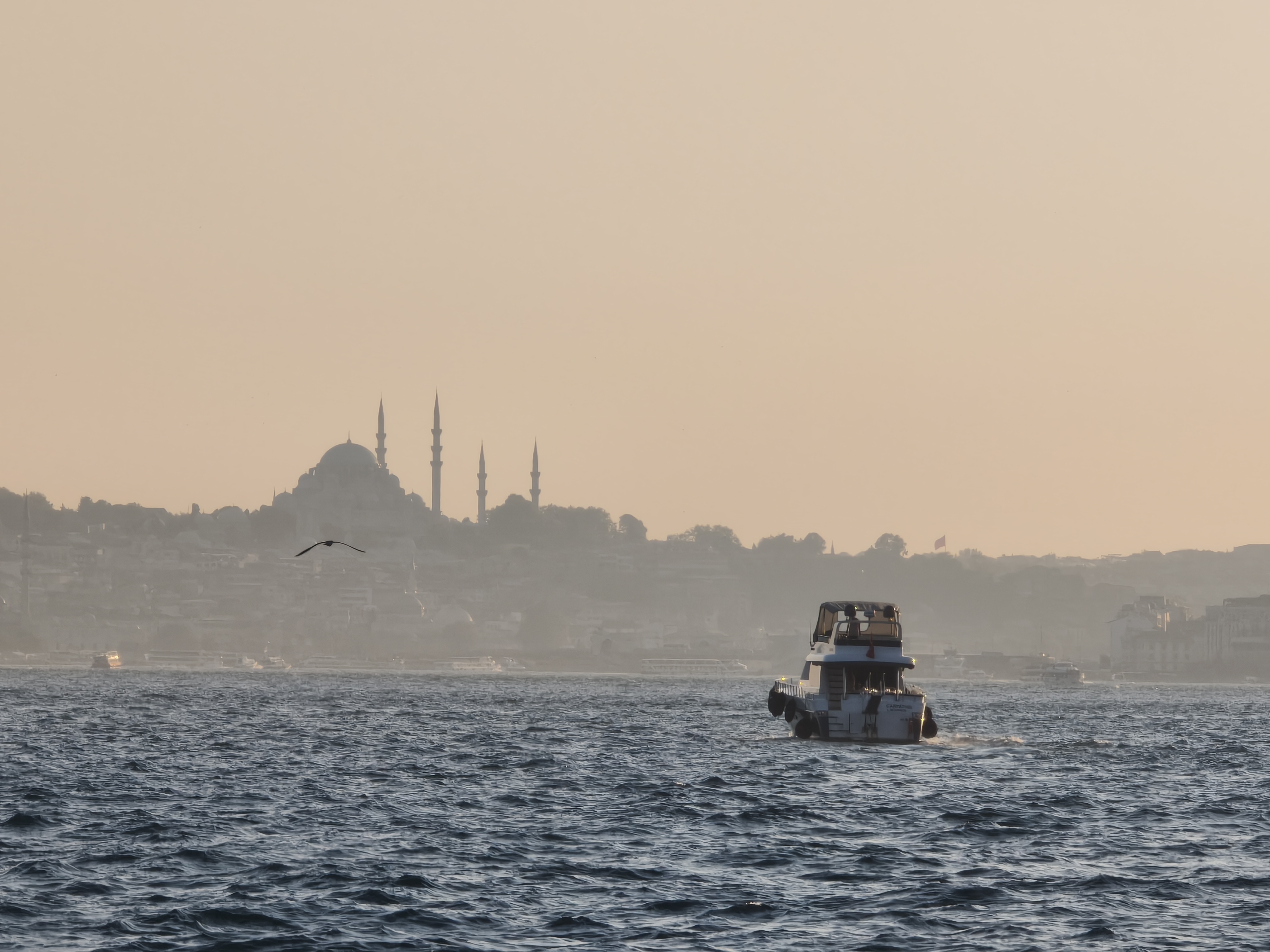
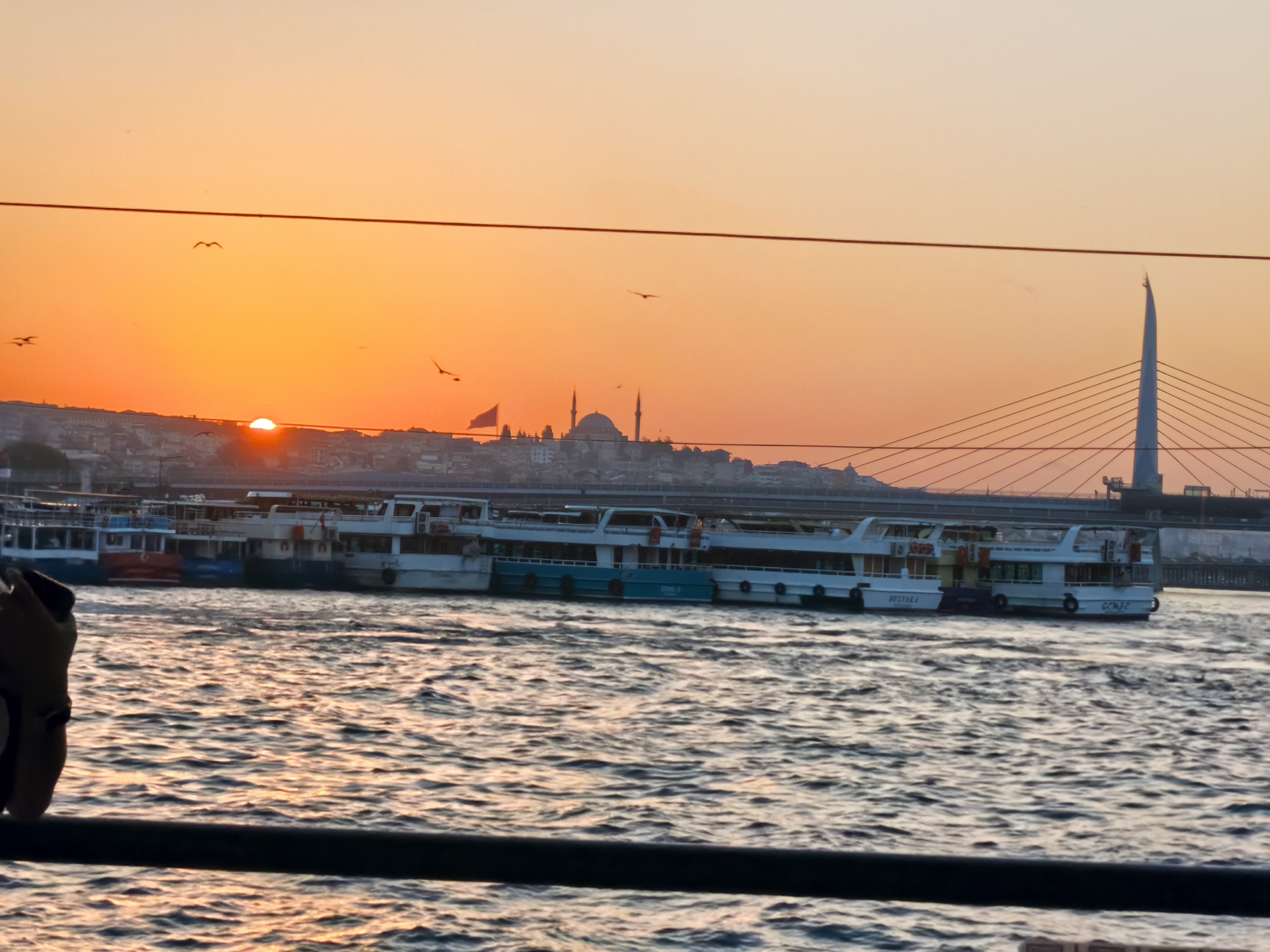
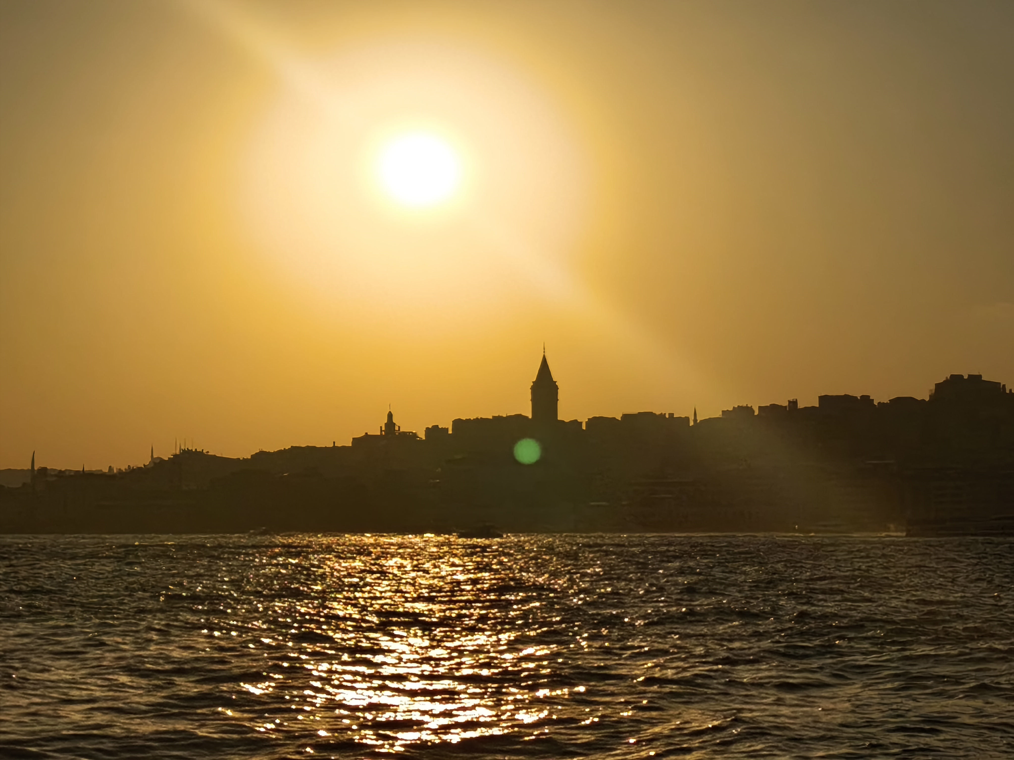
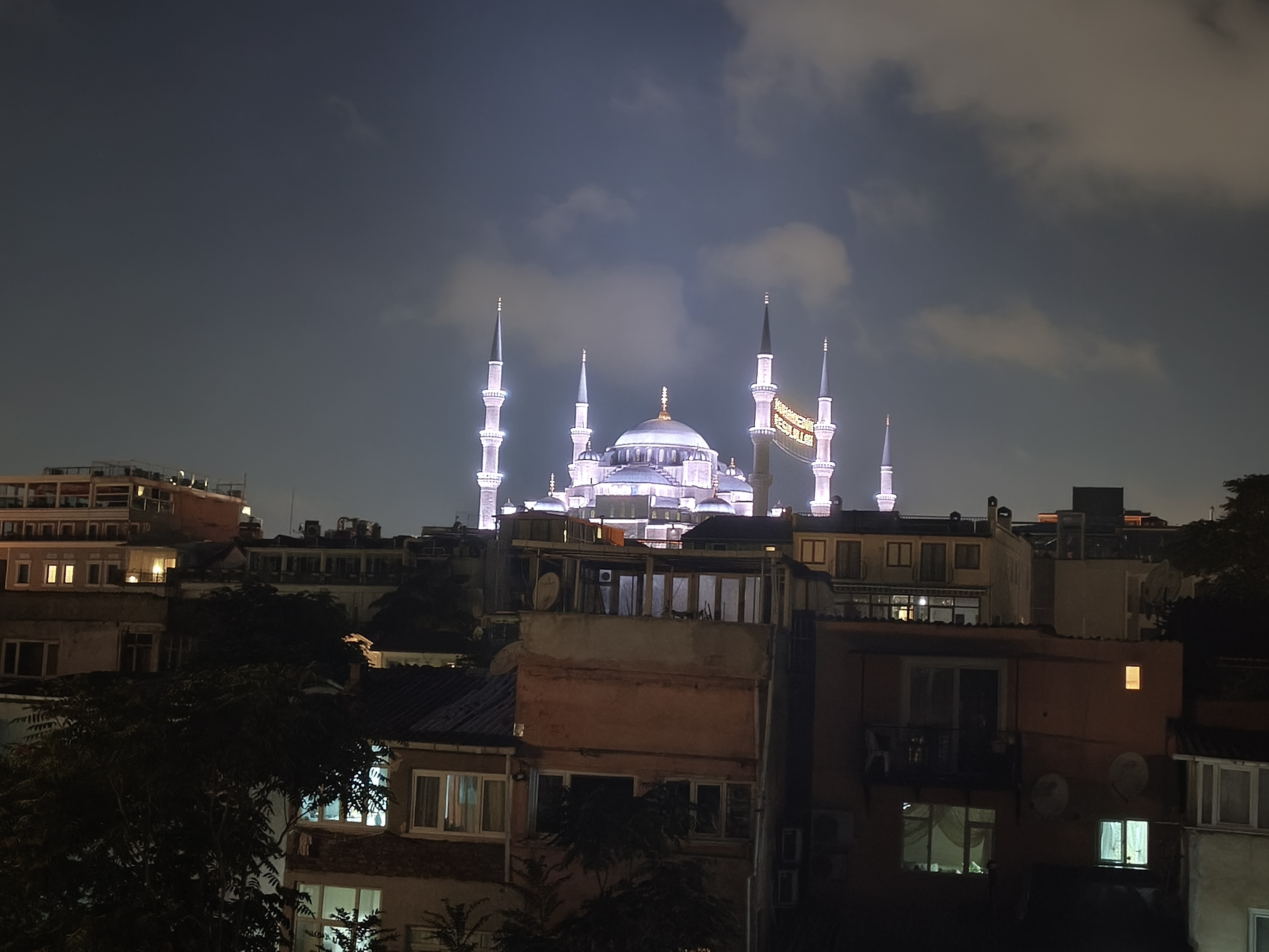
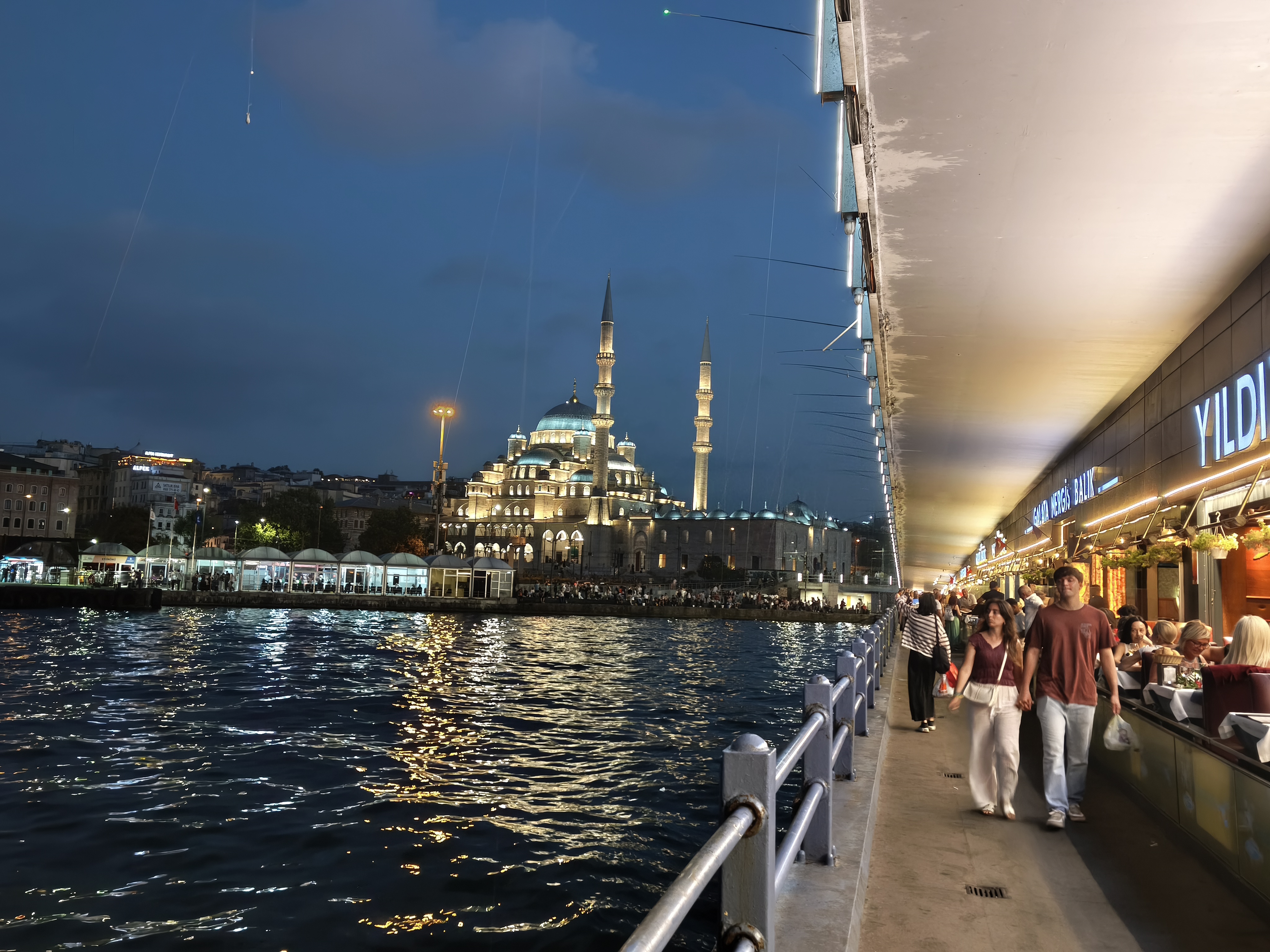
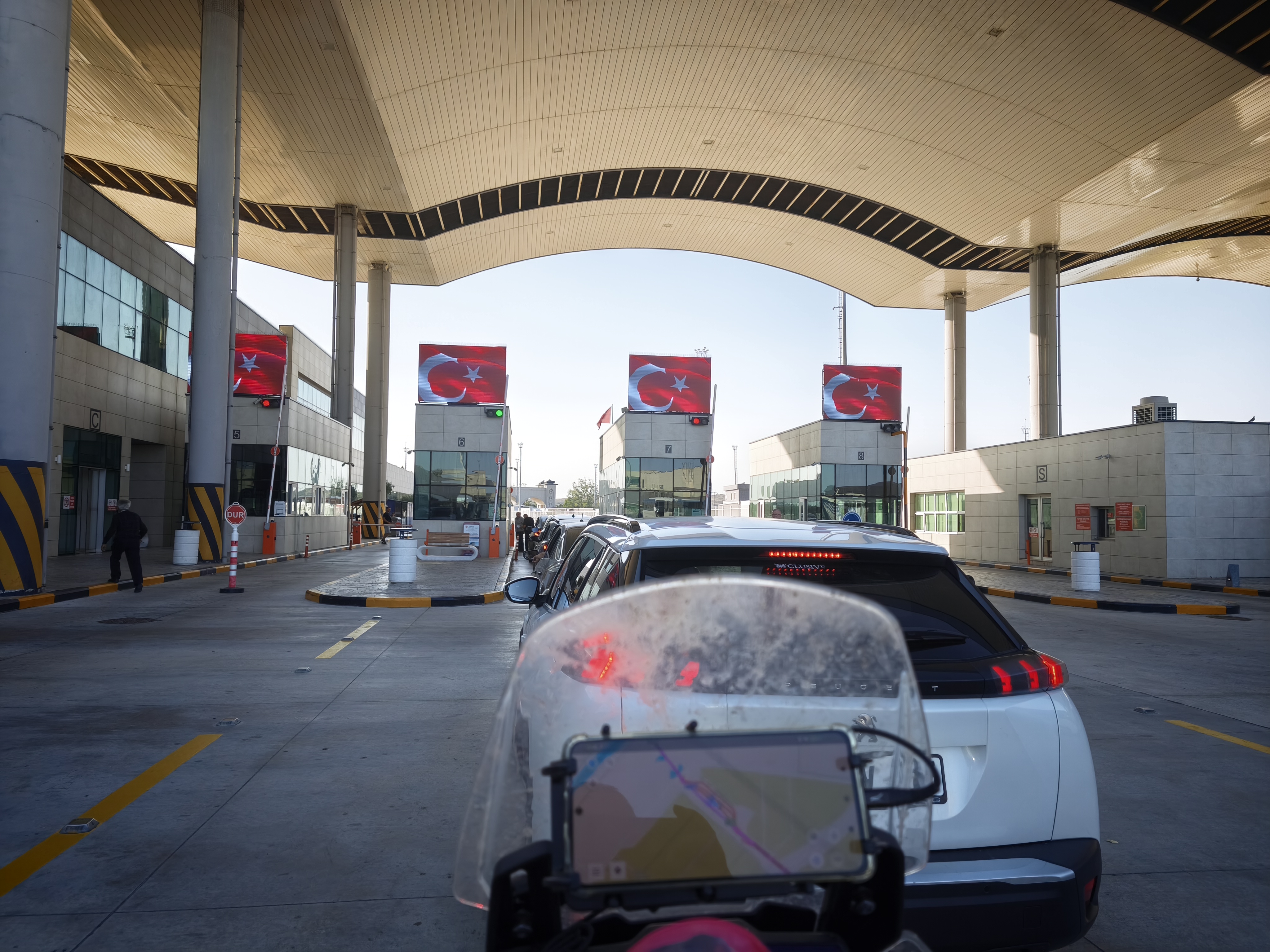
A 5:00 AM departure to beat the heat and the queues at the Greco-Turkish border crossing in İpsala. The absolute joy of traveling by motorcycle at border checkpoints: filtering past the line of cars to slide straight through without waiting, all the way into the heart of Sultanahmet. Arriving in a legendary megacity by road after long hours and shifting landscapes brings a raw emotion that no long-haul flight can ever match. Standing in front of Hagia Sophia after days in the saddle brought a genuine tear of emotion to my eye.
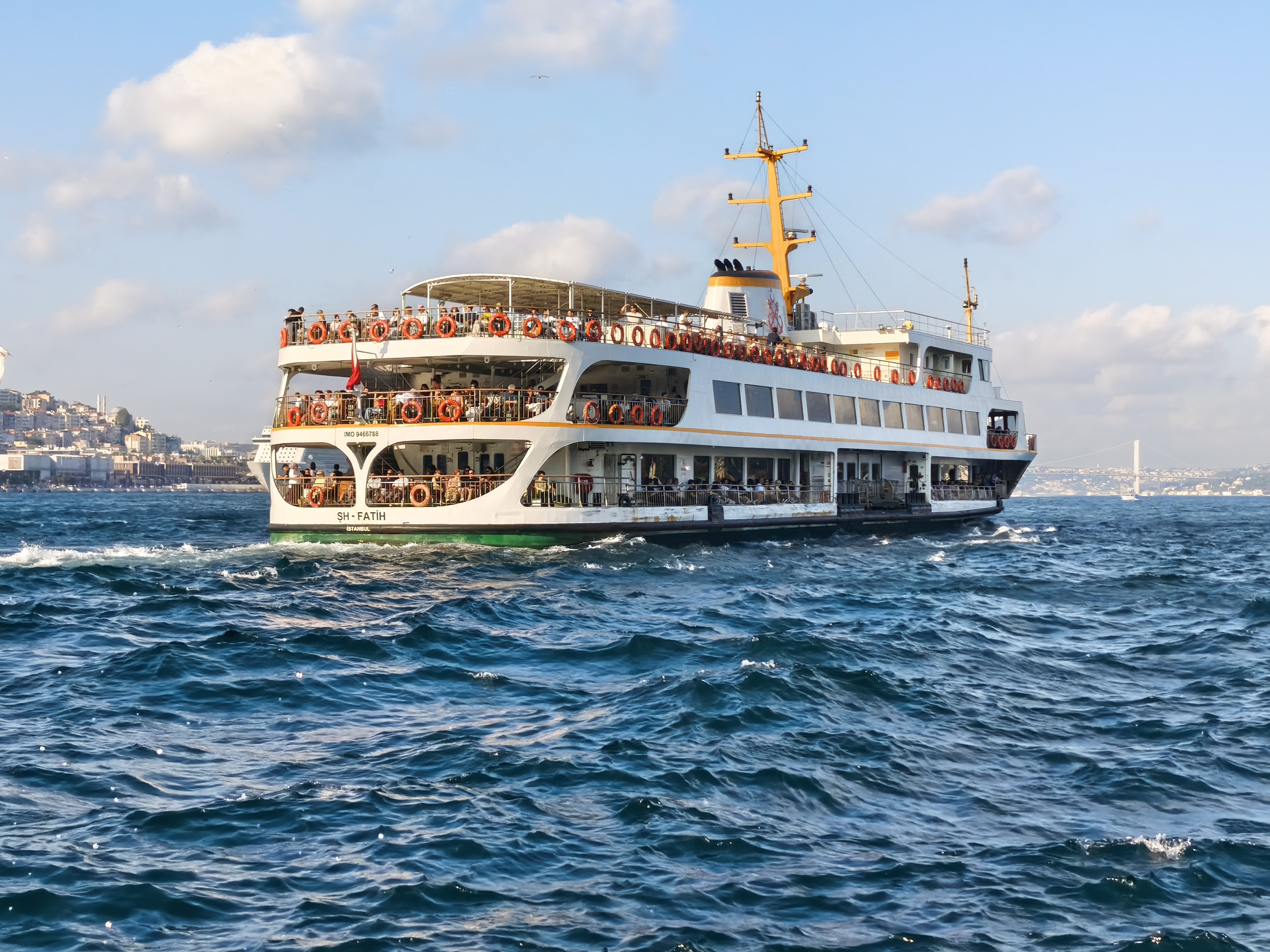
The afternoon is dedicated to discovering Istanbul: the mesmerizing calls of the muezzins (some of whom honestly deserve to win The Voice!), the Basilica Cistern, and to top it off, a 1.5-hour sunset cruise on the Bosphorus, right at the boundary between two continents.
Départ à 5h du matin pour devancer la chaleur et les files d’attente à la frontière greco-turque d’Ipasla. Tout le plaisir de voyager à moto aux postes frontières : remonter la file de voitures pour glisser directement et sans attente jusqu’au cœur de Sultanahmet. Arriver dans une mégapole mythique par la route après de longues heures et des paysages changeants procure une émotion brute qu’aucun vol long-courrier ne saura jamais égaler. Se tenir face à Sainte-Sophie après des jours de selle m’a tiré une vraie larme d’émotion.
L’après-midi est consacrée à la découverte d’Istanbul : les chants envoûtants des muezzins (certains mériteraient franchement de gagner The Voice !), la citerne basilique, et pour conclure, une croisière de 1h30 au soleil couchant sur le Bosphore, à la lisière de deux continents.
Day #6: Istanbul – Rest & Exploration. Distance: 0 km (Road) + 9 km on foot
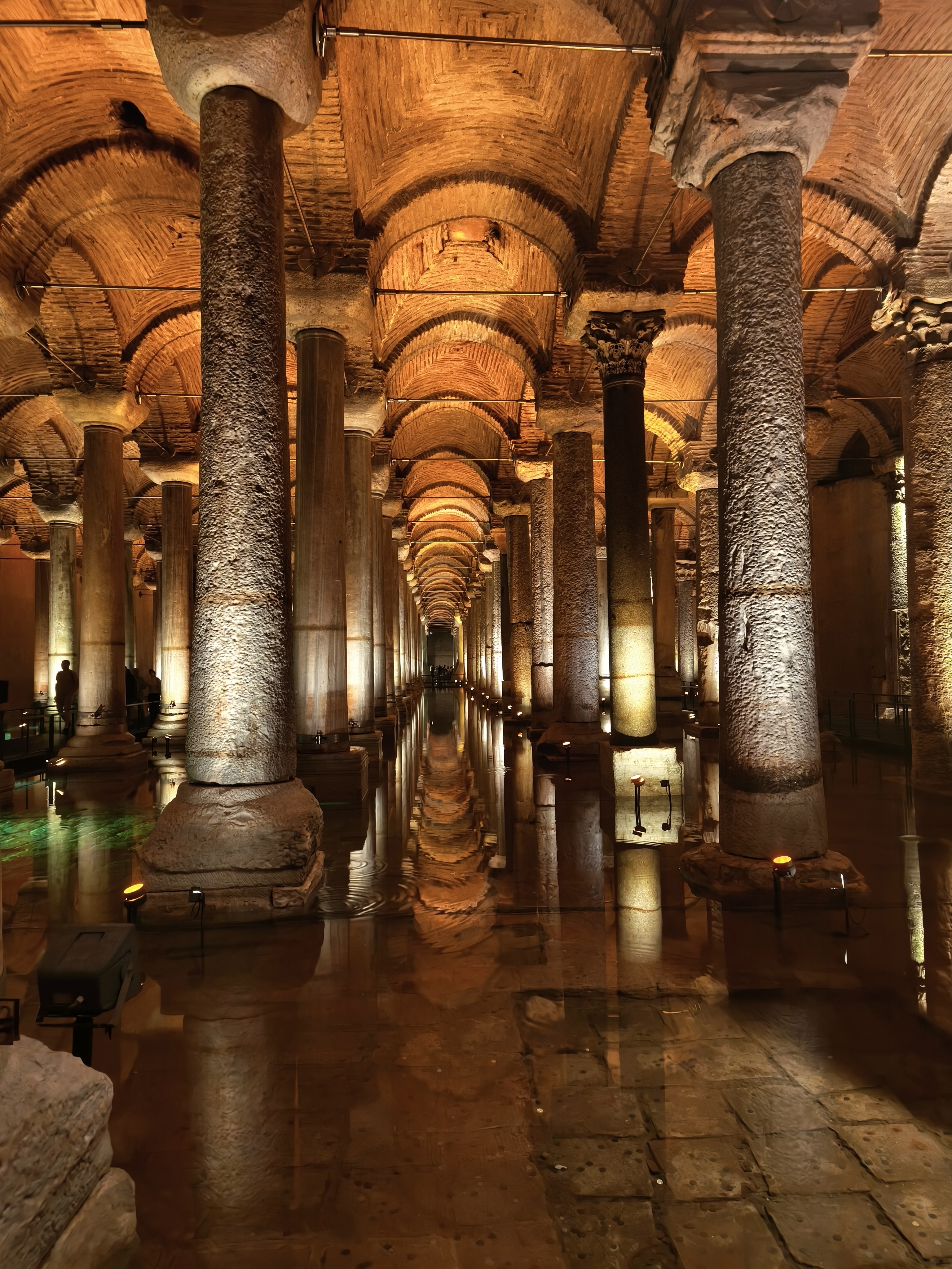
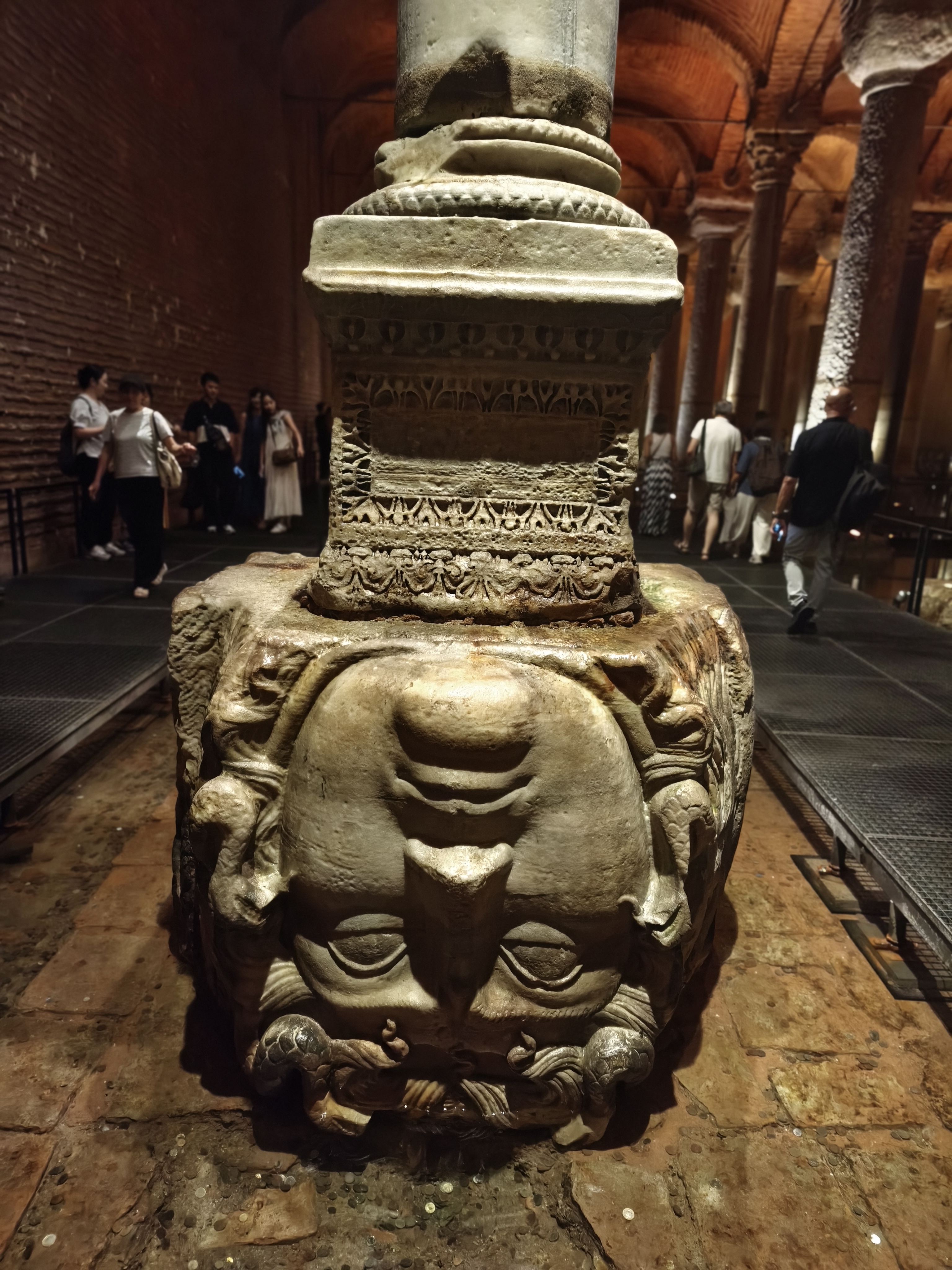
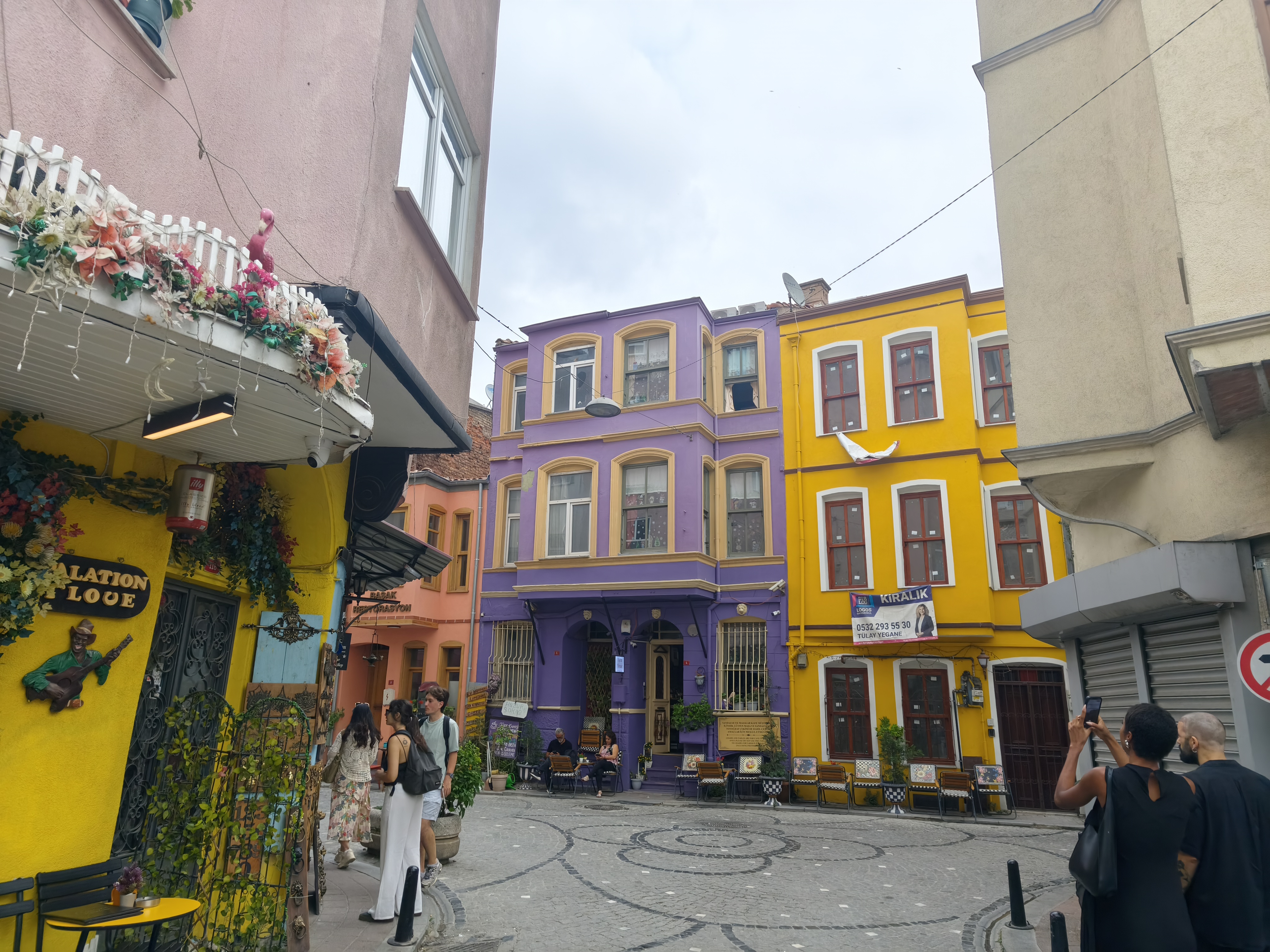
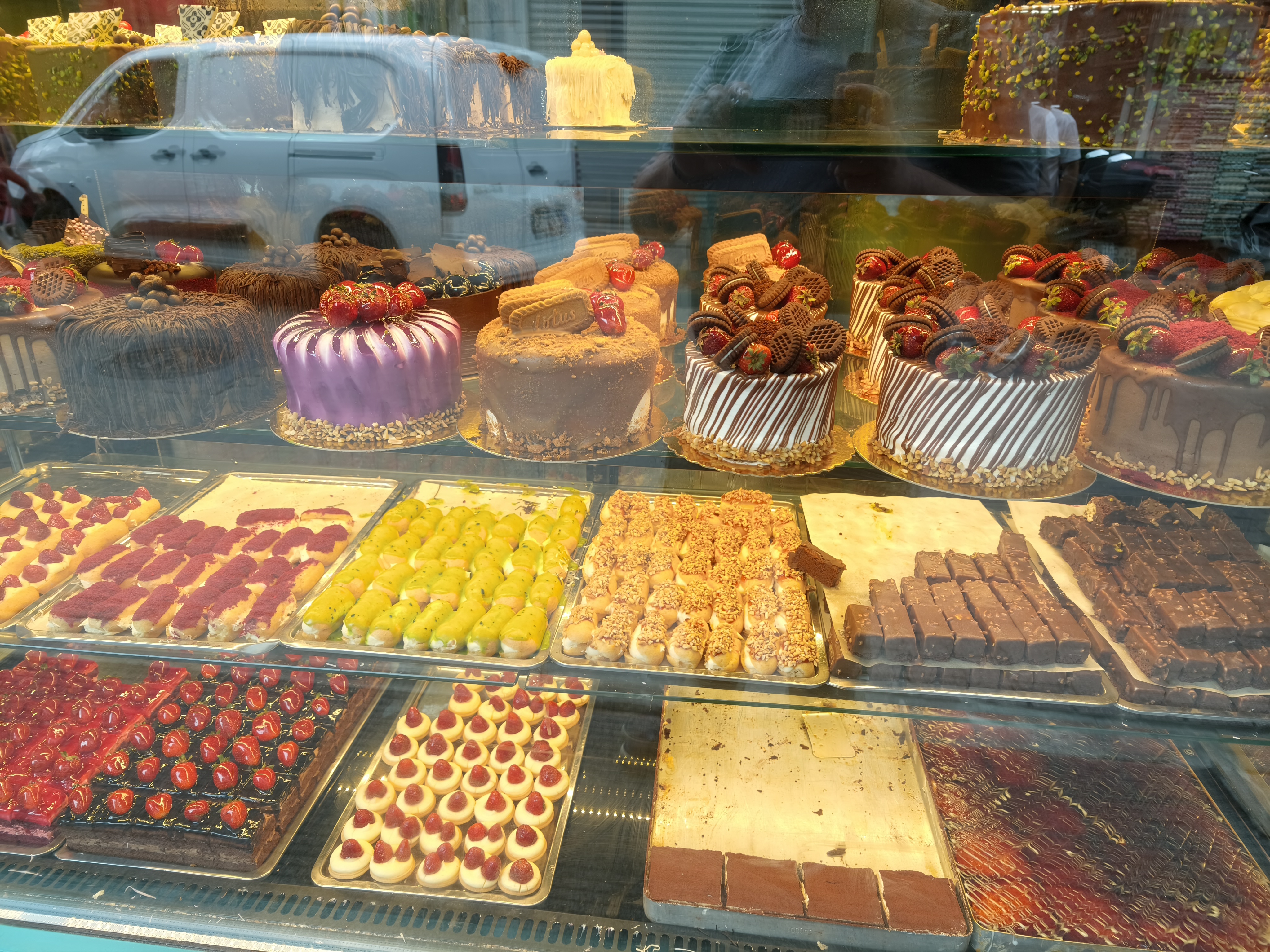
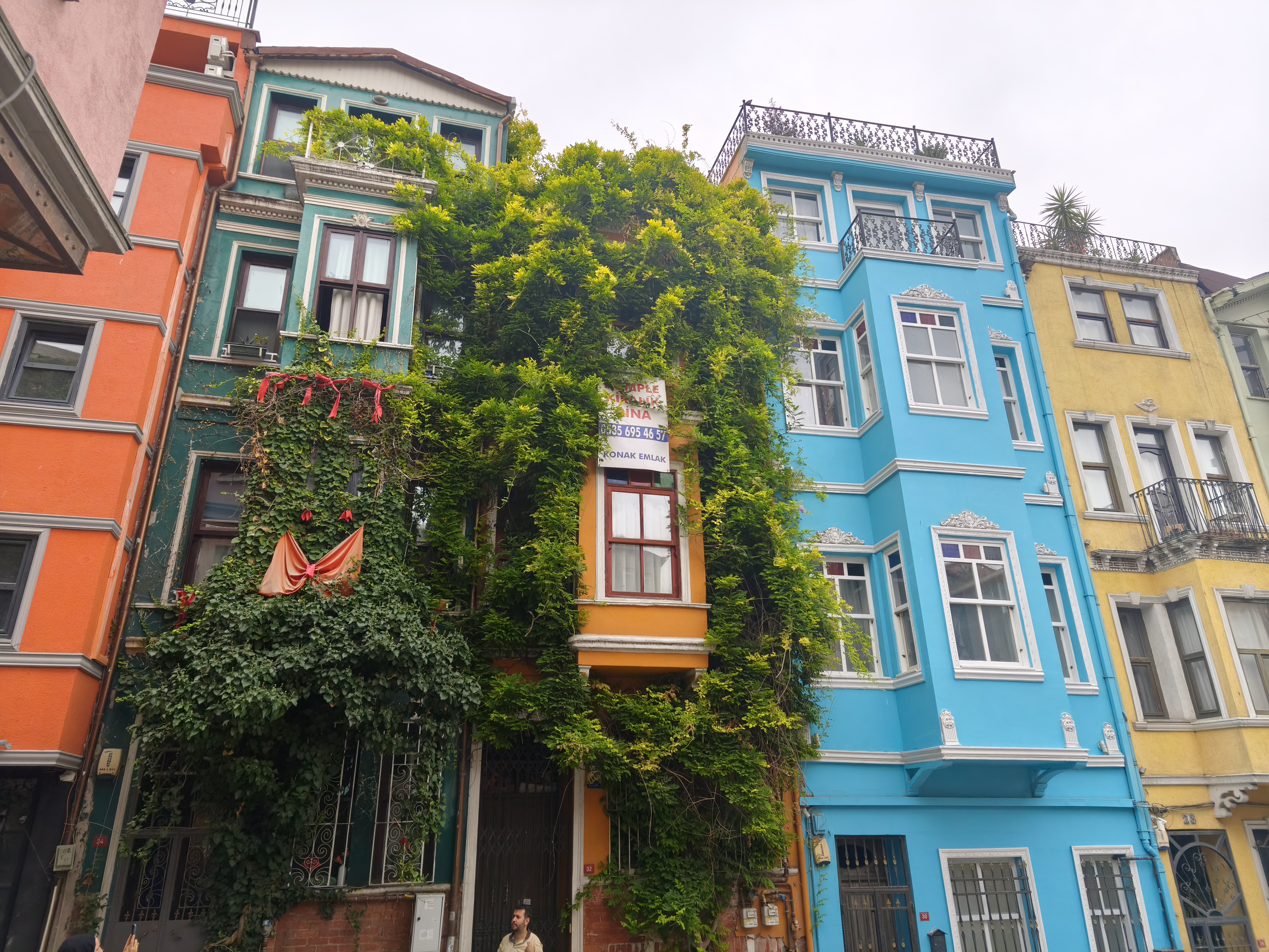
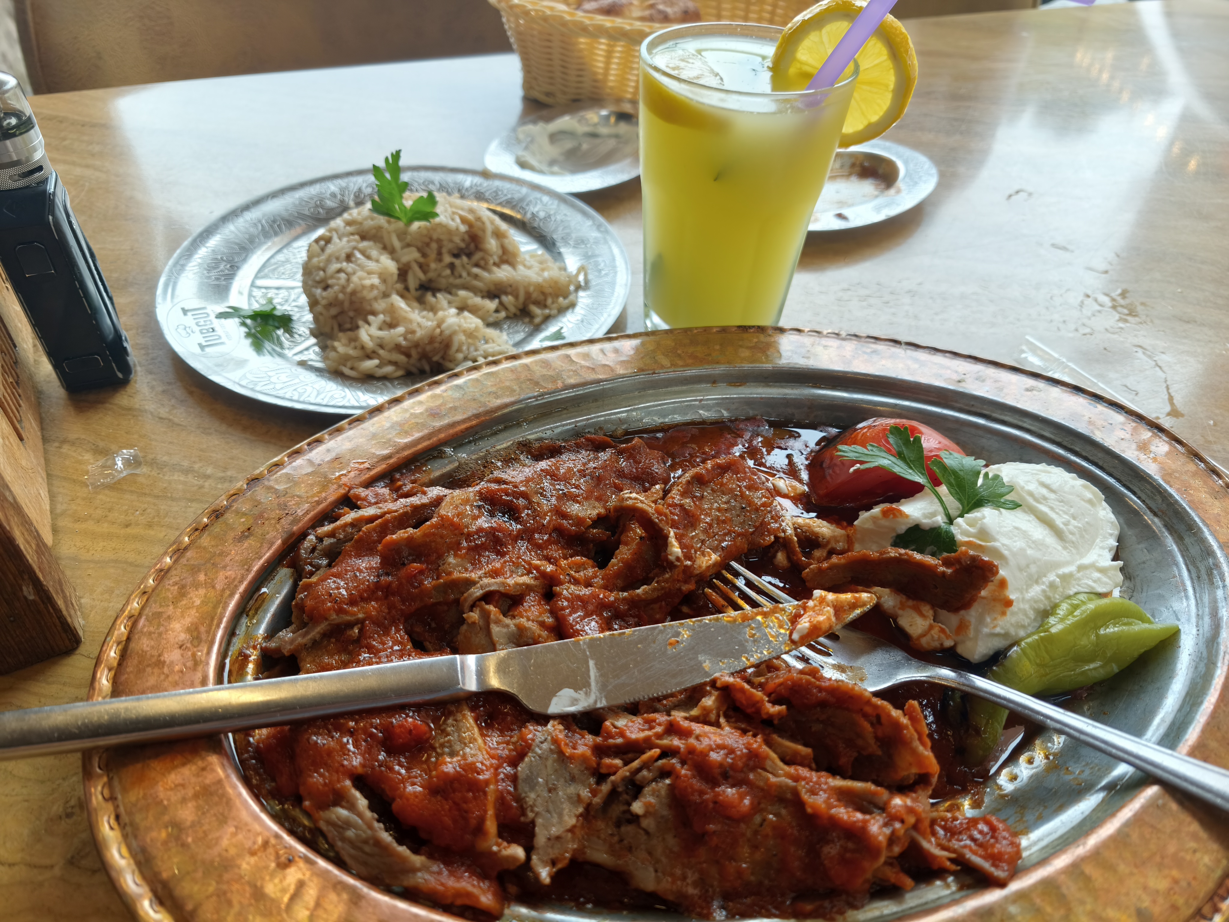
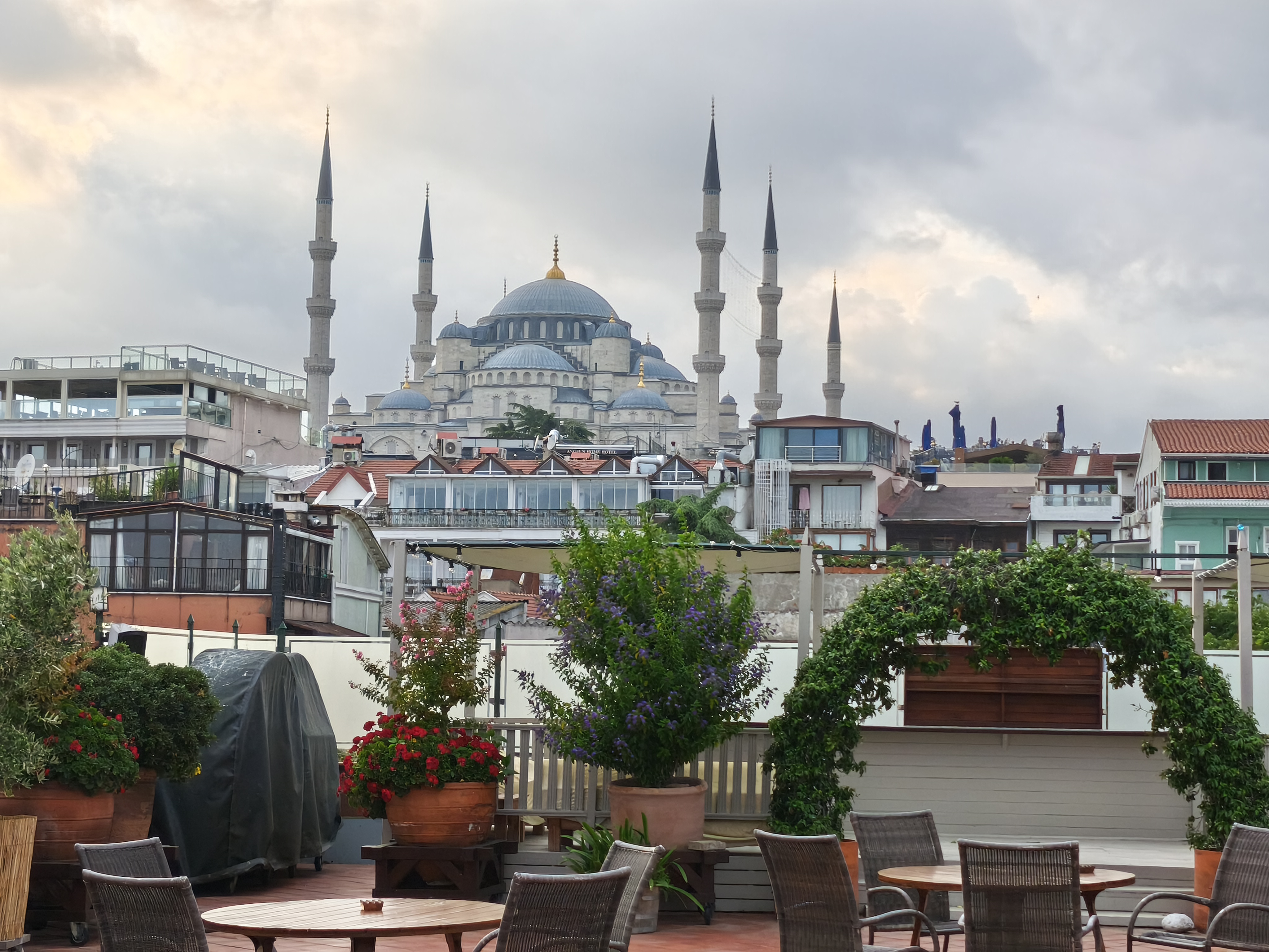
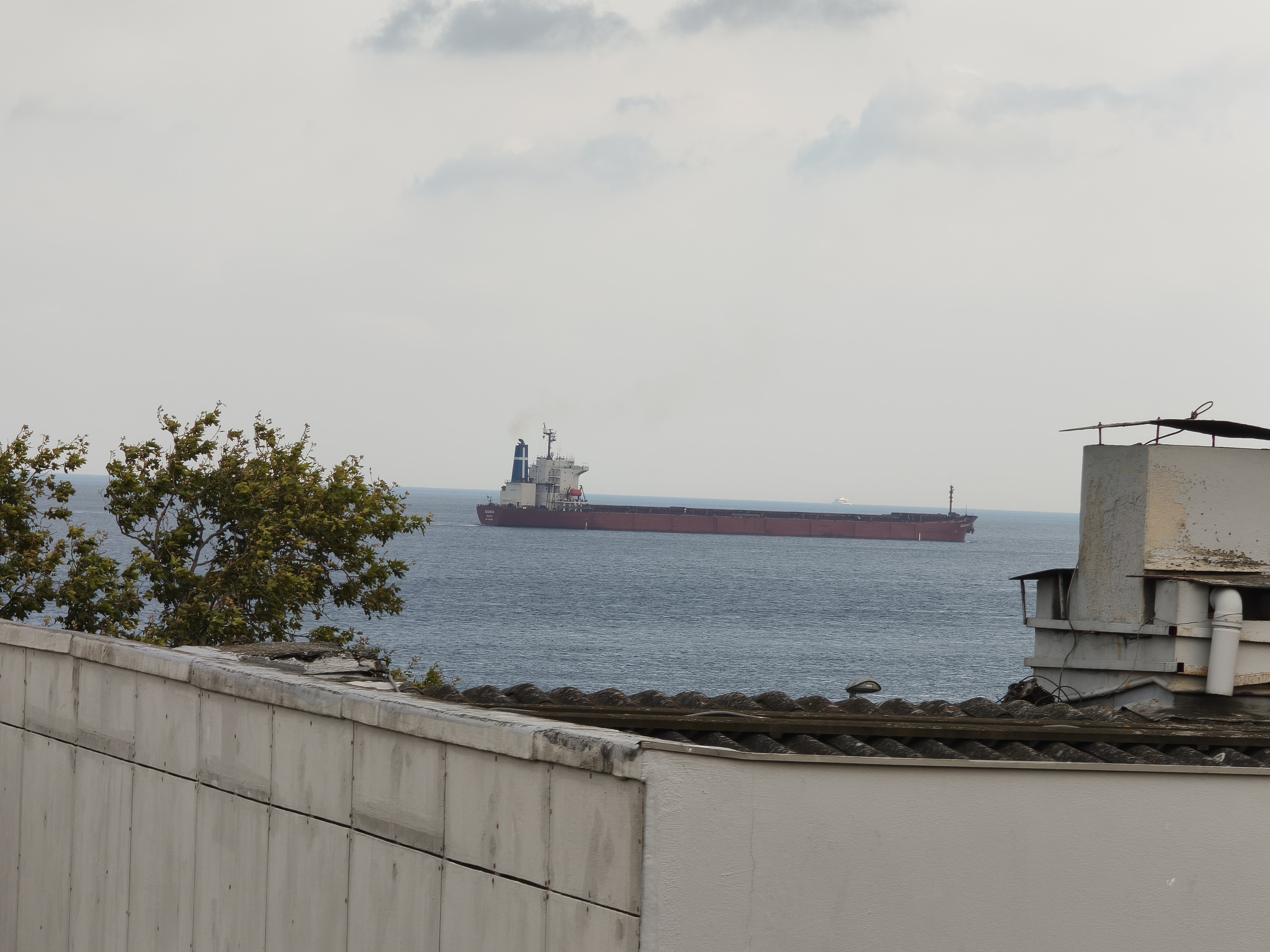
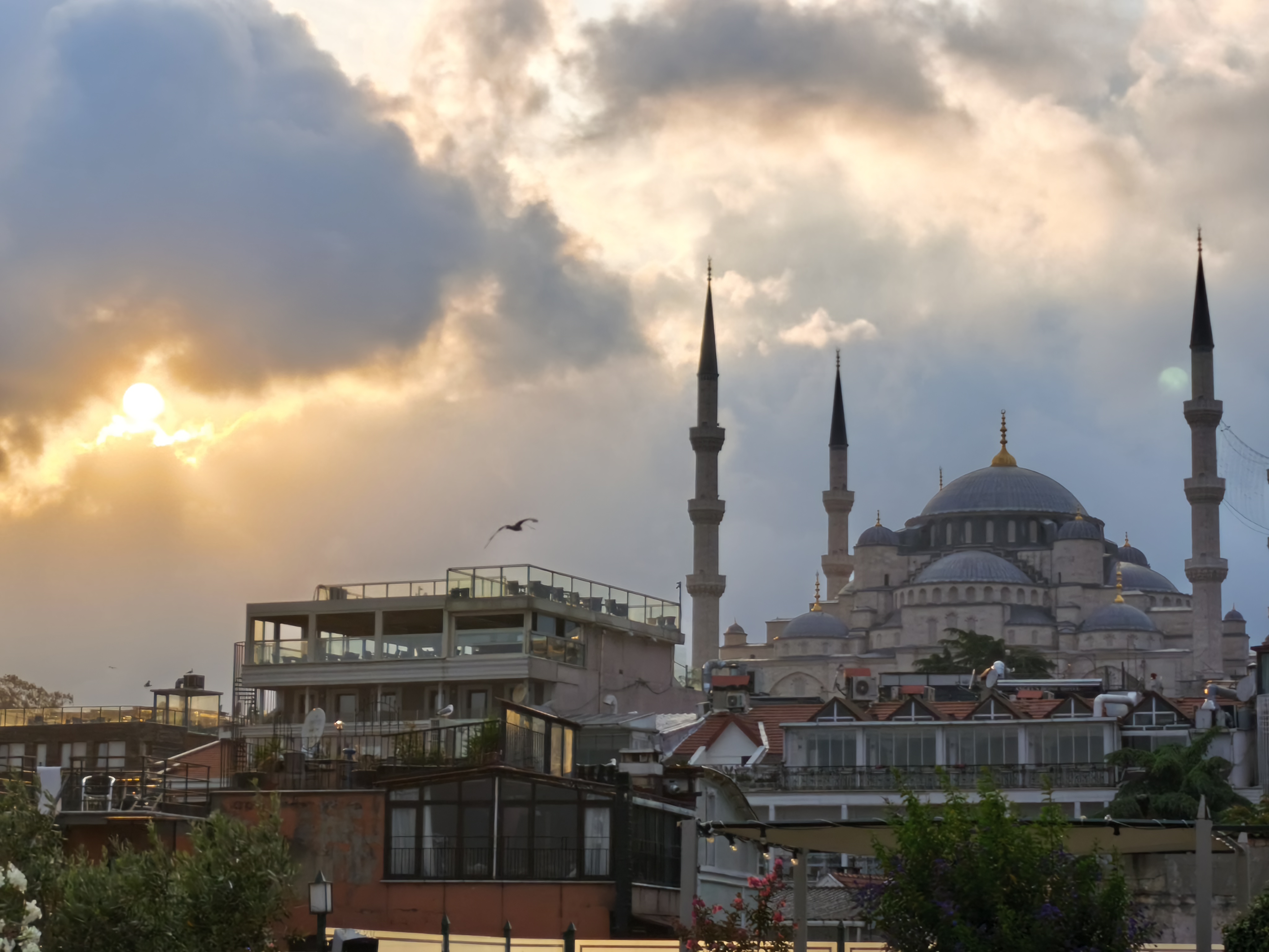
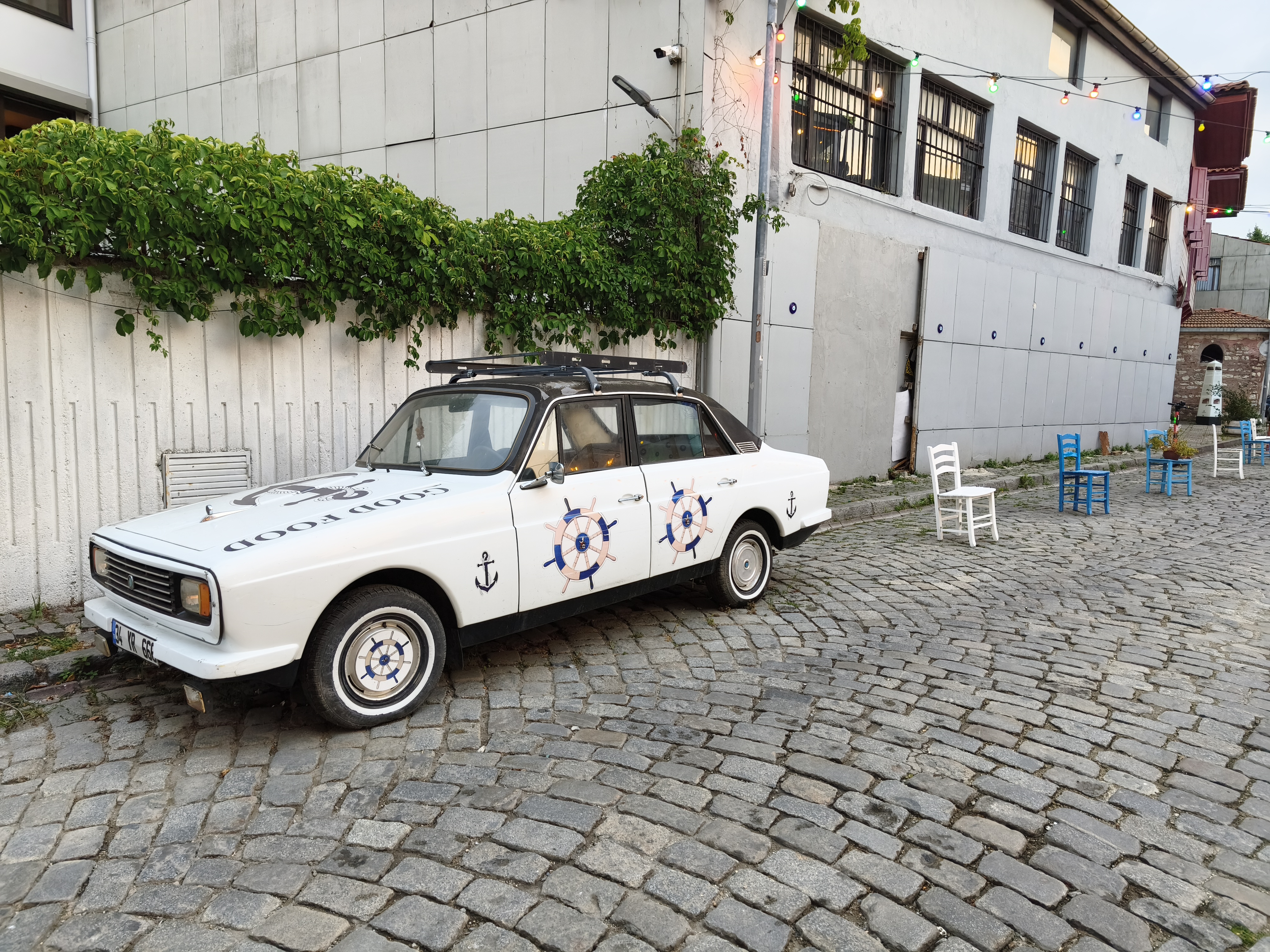
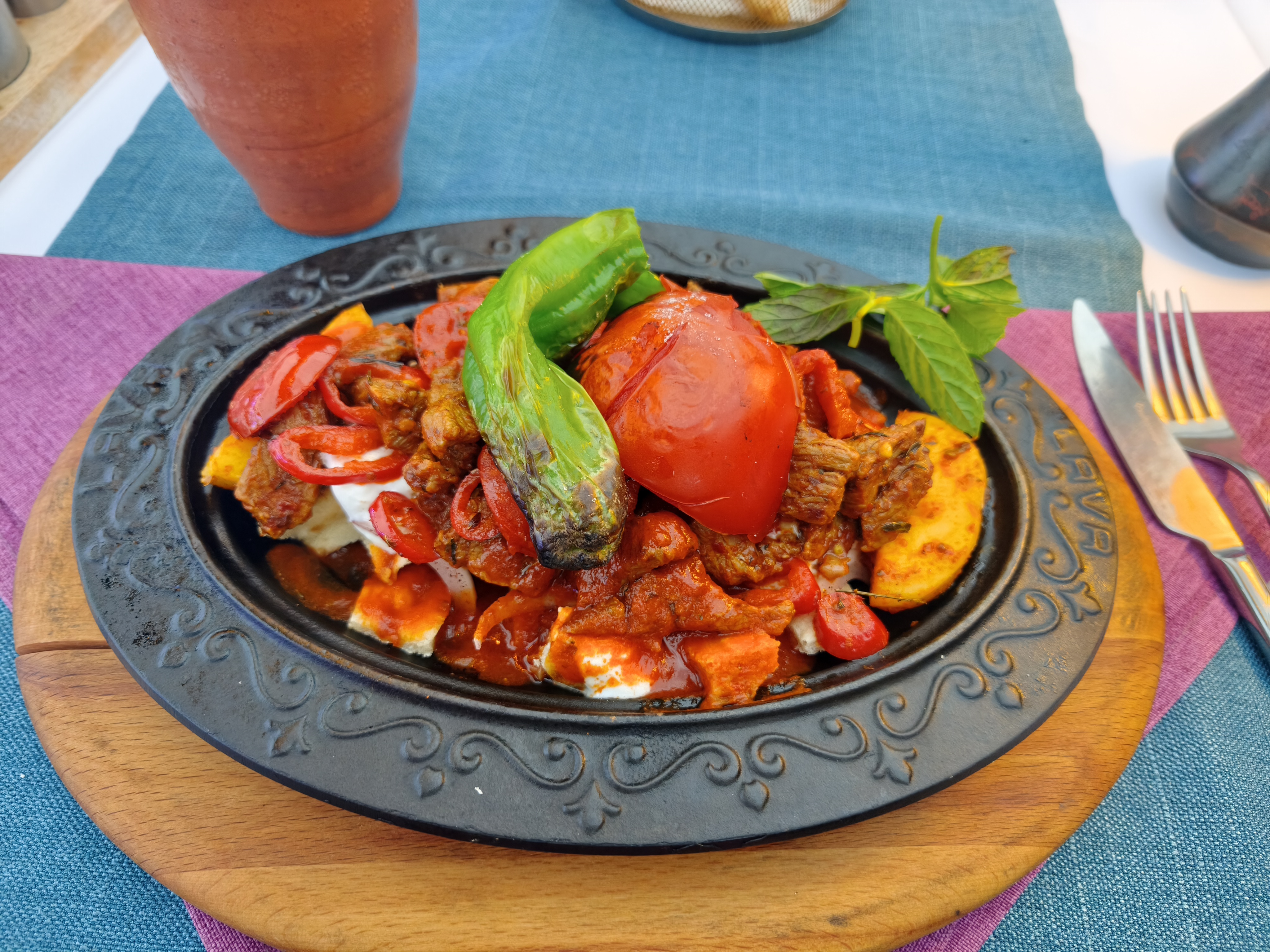
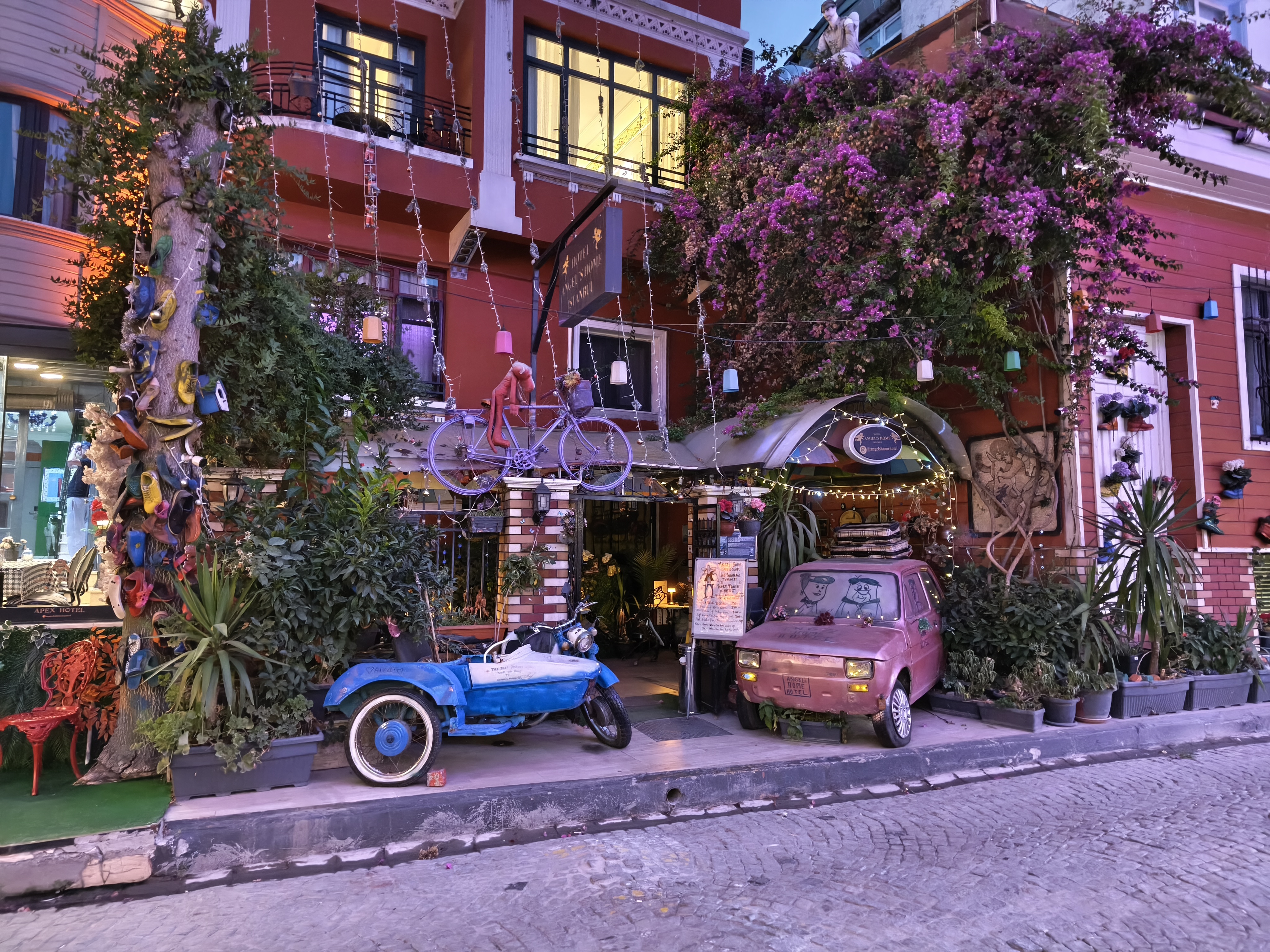
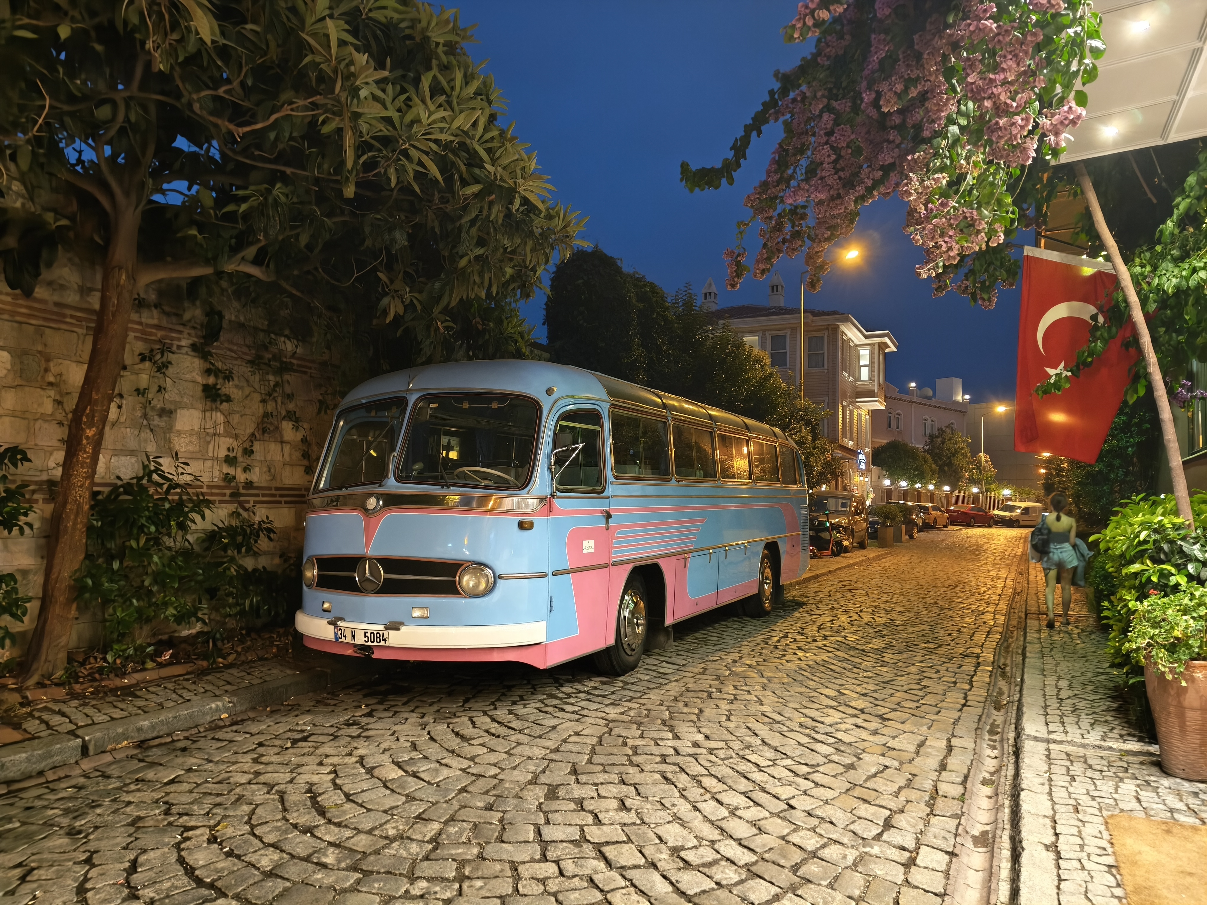
A day dedicated to soaking in the infinite contrasts of Istanbul. Visiting the striking Basilica Cistern and its Medusa heads, wandering through the colorful alleyways of Balat, and immersing myself in local life. Only rookie mistake: nobody warned me that the Grand Bazaar is completely closed on Sundays! Meanwhile, the Triumph is pacing in the parking garage, eager to get back on the Asian asphalt.
Une journée dédiée à s’imprégner des contrastes infinis d’Istanbul. Visite de la saisissante Citerne Basilique et de ses têtes de Méduse, déambulation dans les ruelles colorées de Balat et immersion dans la vie locale. Seule erreur de rookie : personne ne m’avait prévenu que le Grand Bazar était intégralement fermé le dimanche ! Pendant ce temps, la Triumph trépigne dans le parking, impatiente de retrouver l’asphalte asiatique.
Day #7: Istanbul – Safranbolu. Distance: 465 km (425 km Road / 40 km Off-road track)
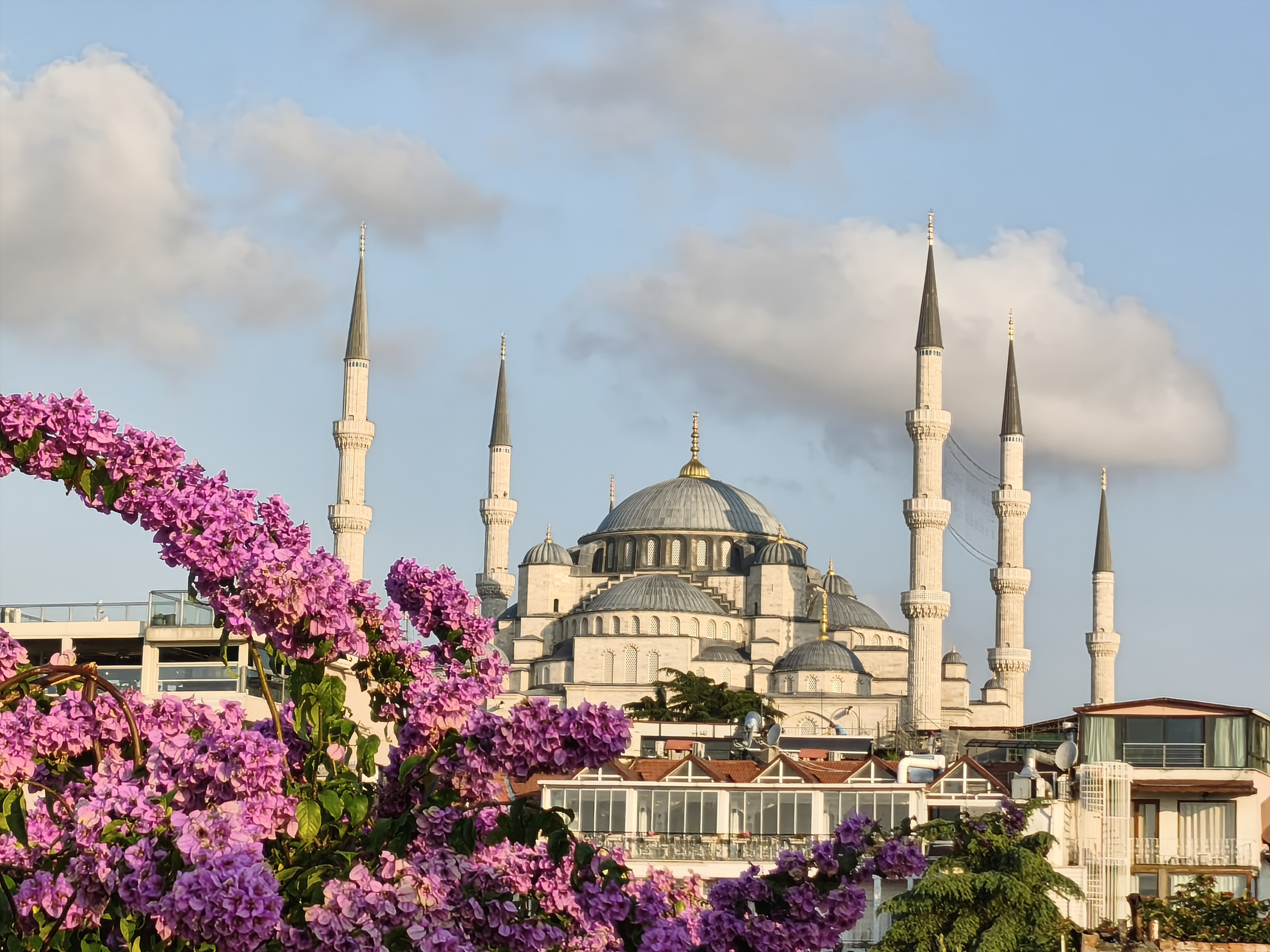
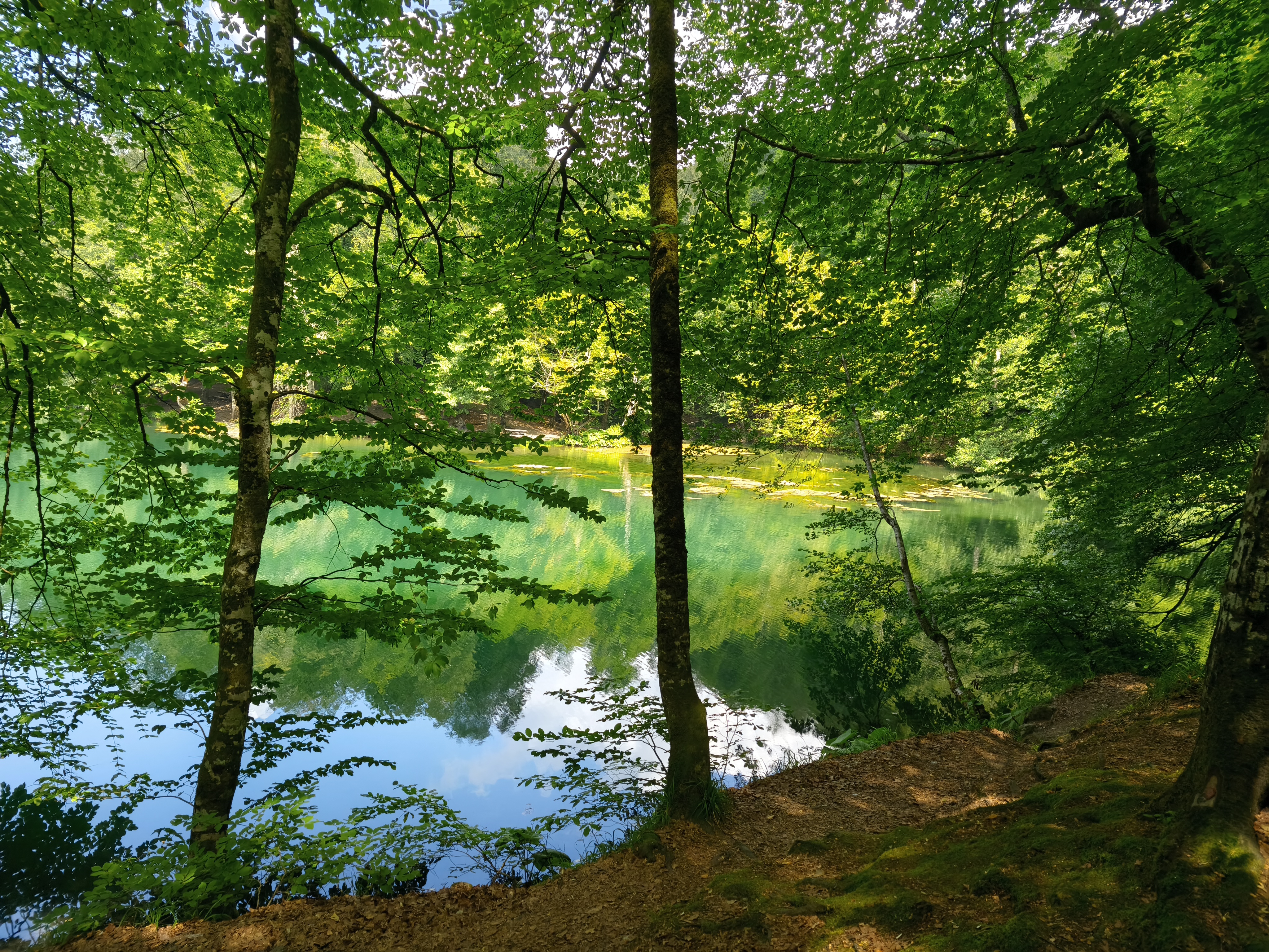
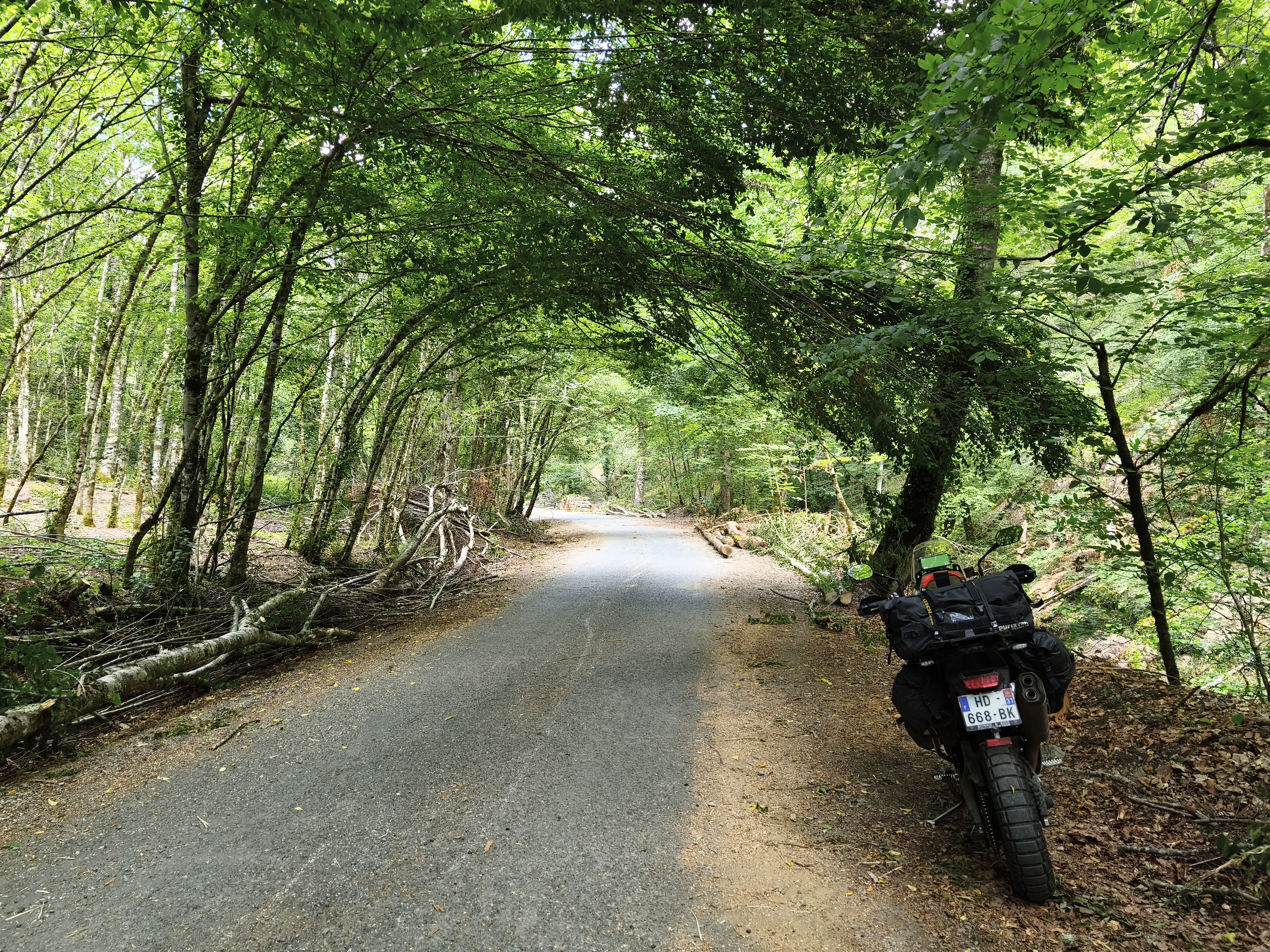
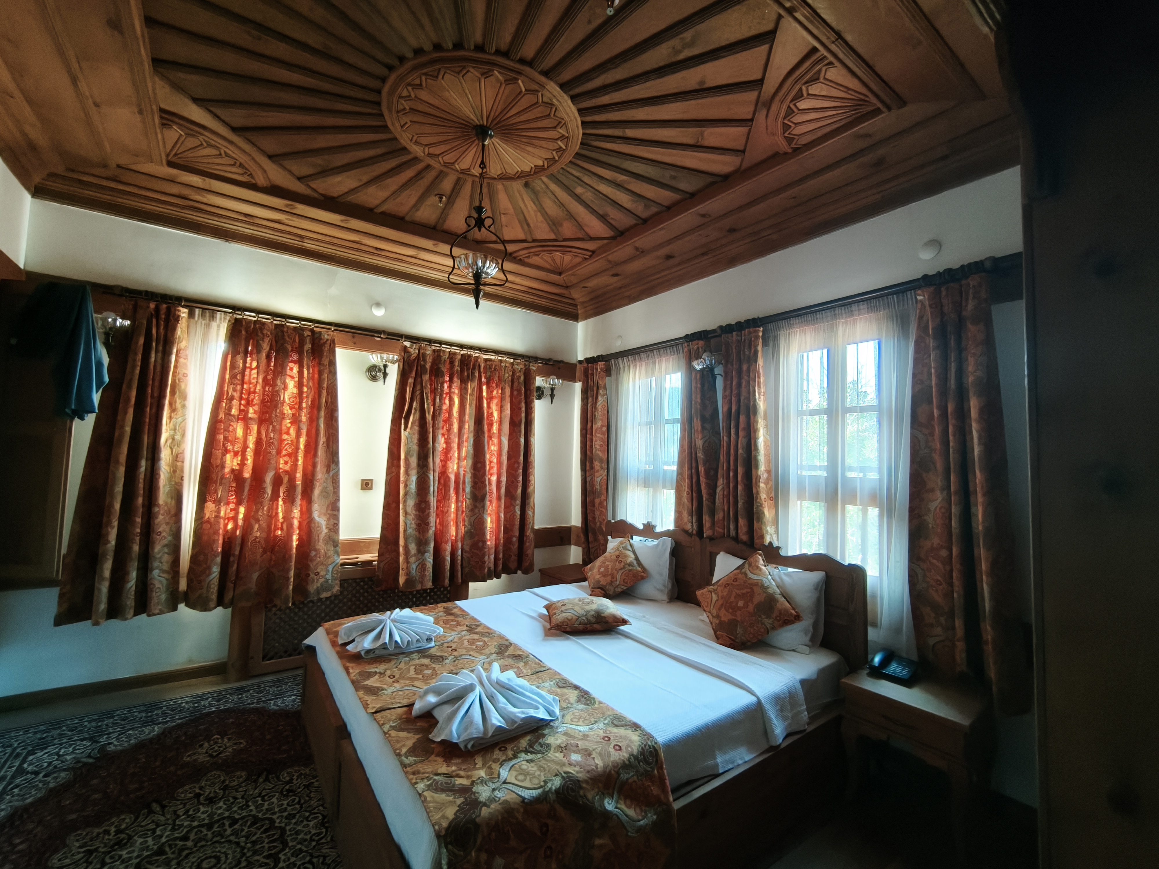
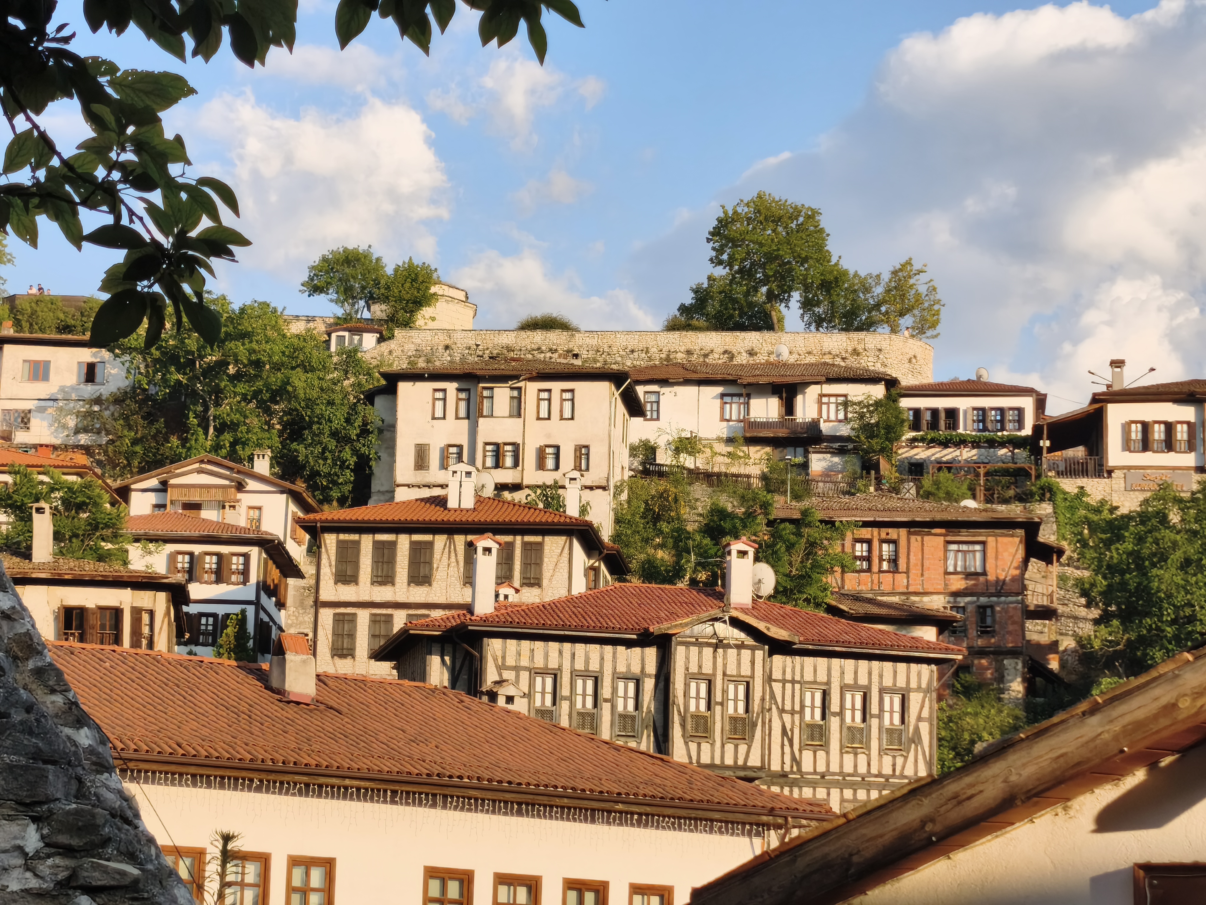
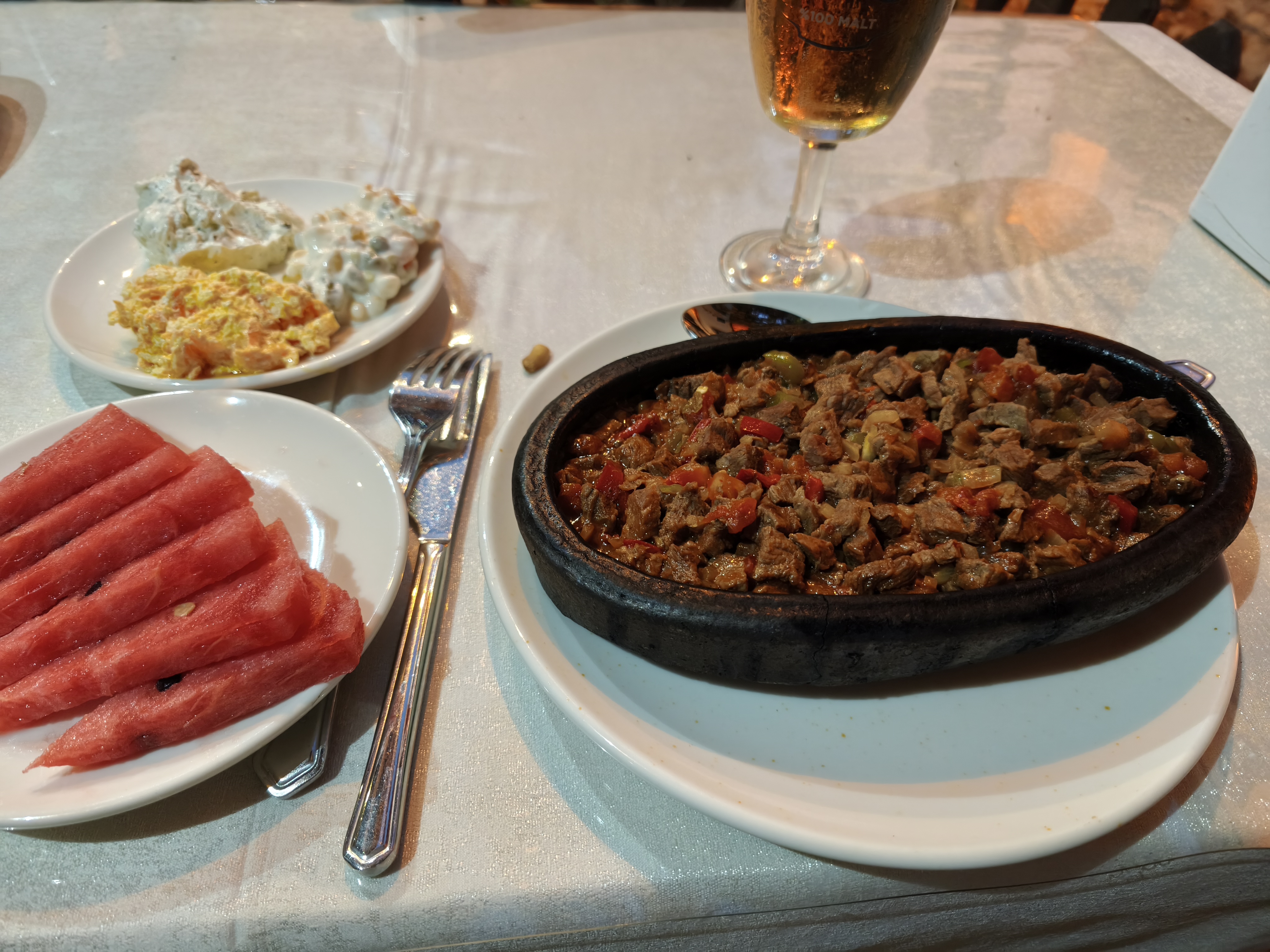
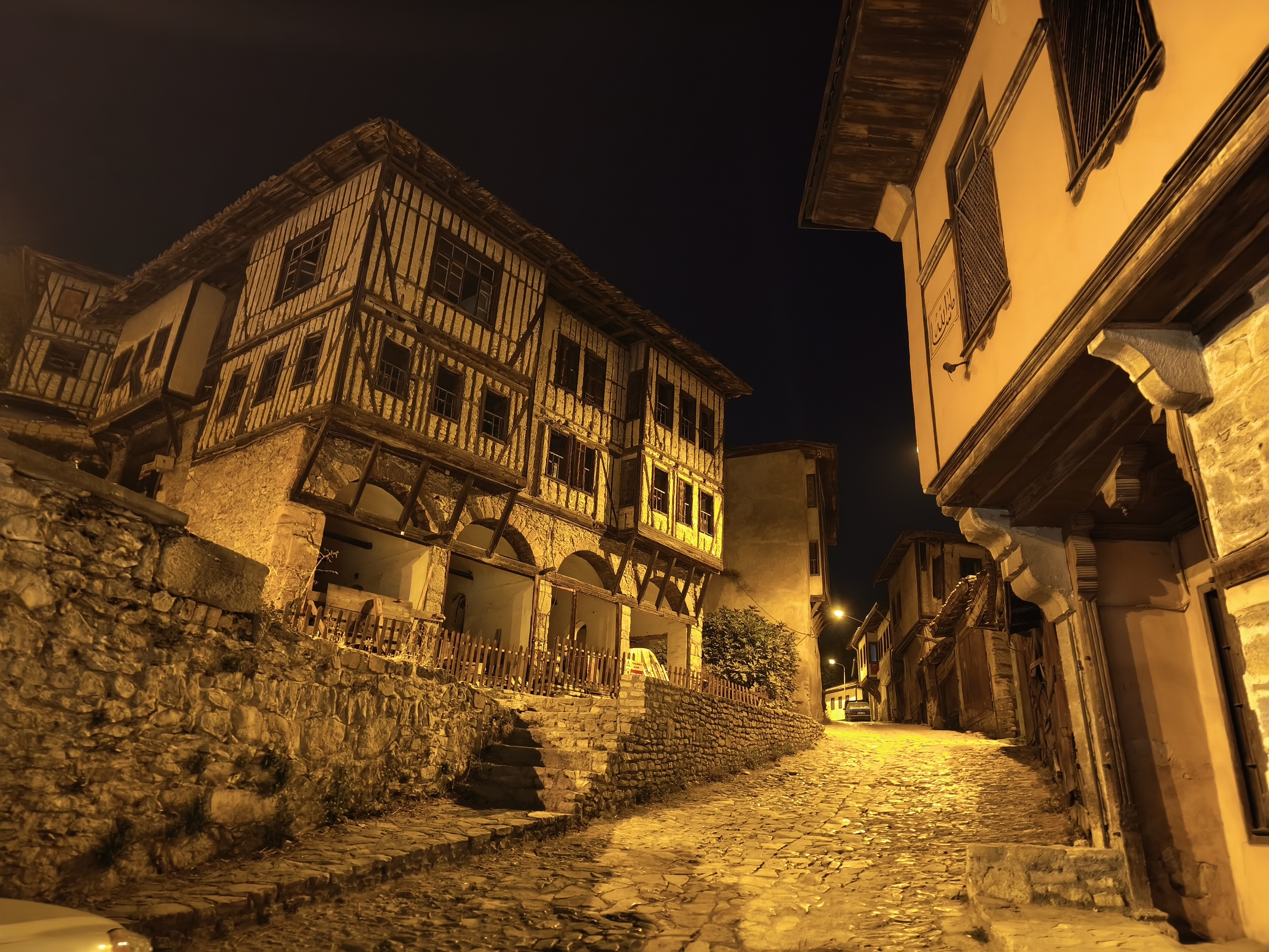
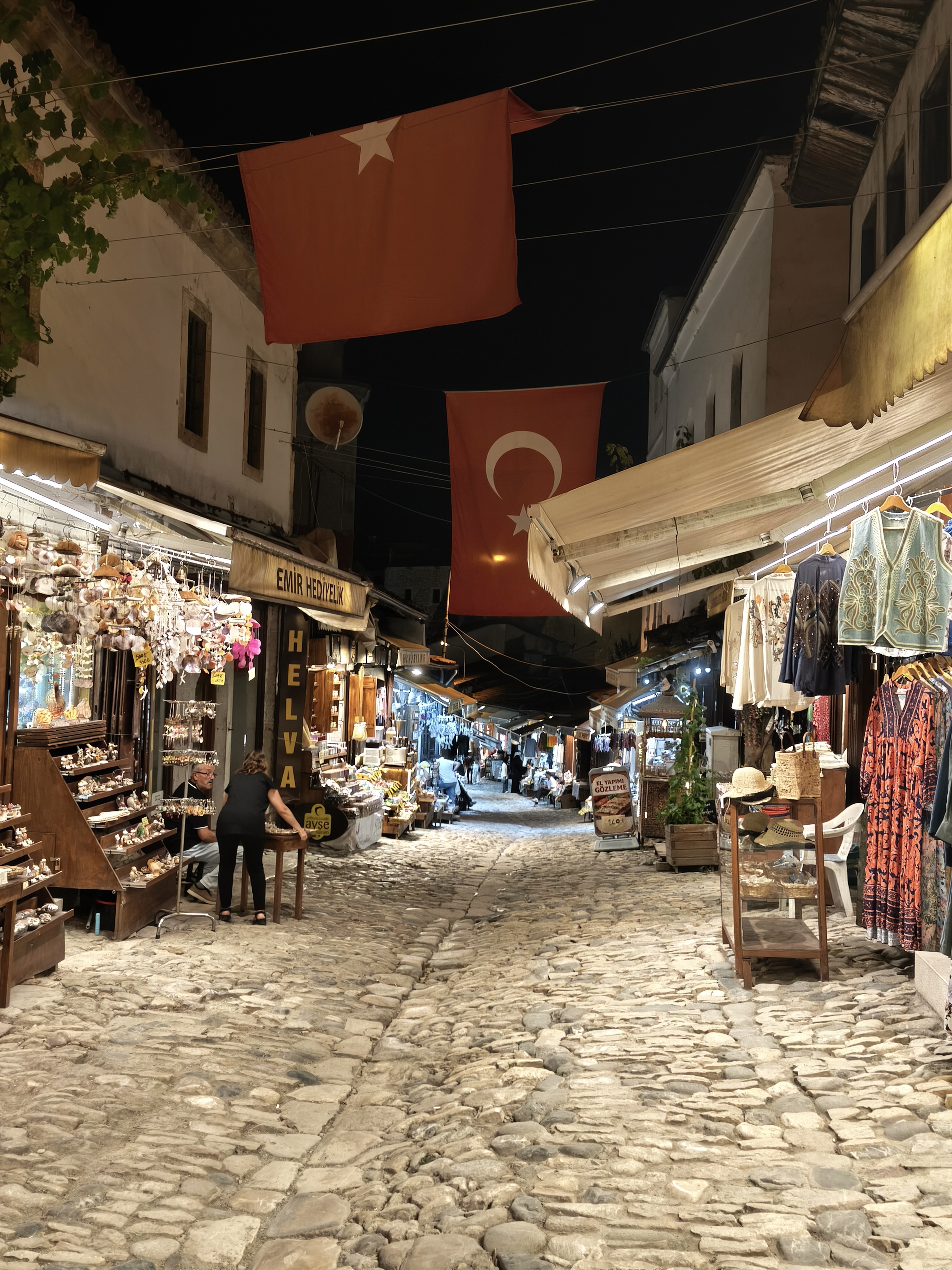
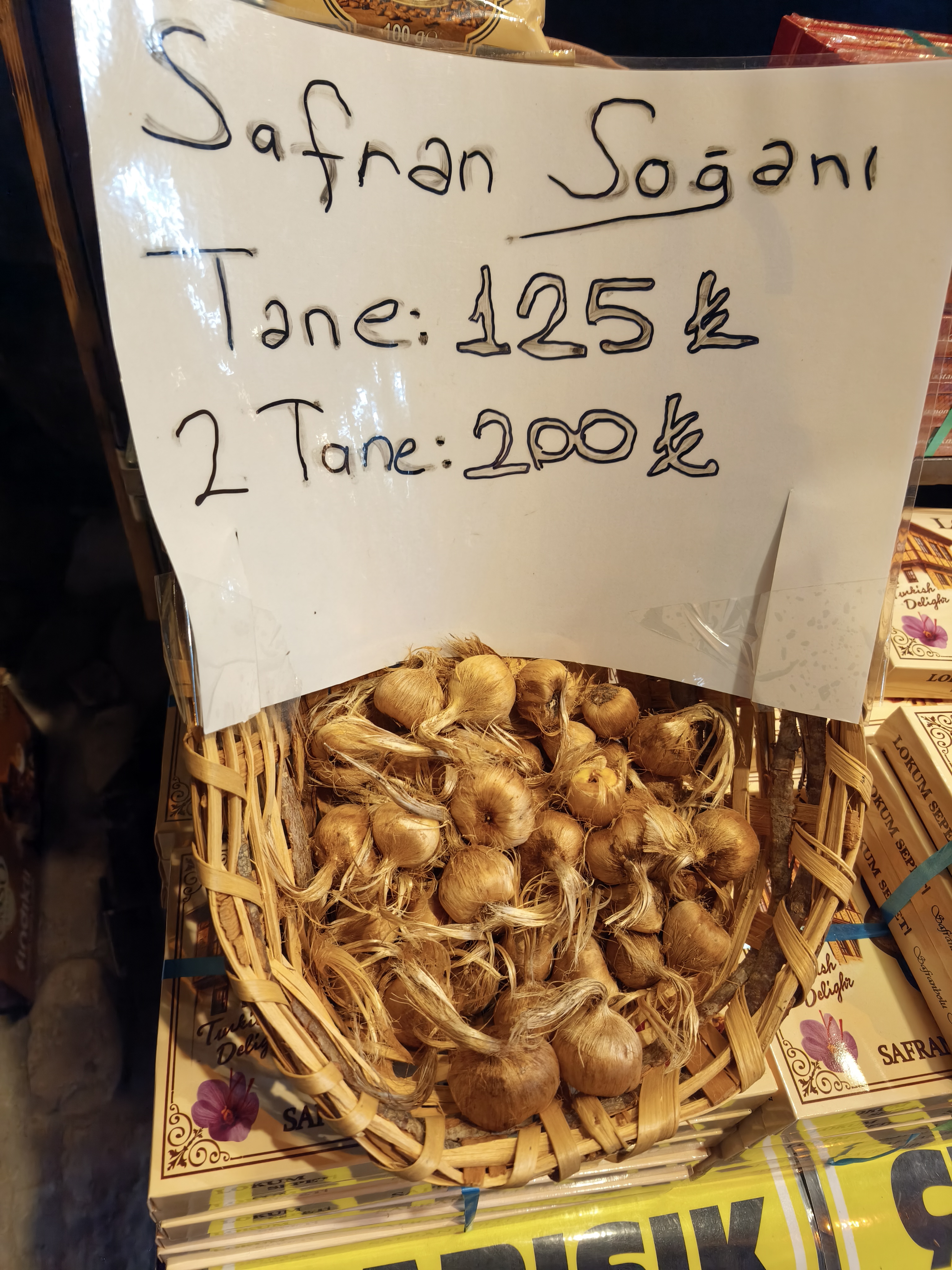
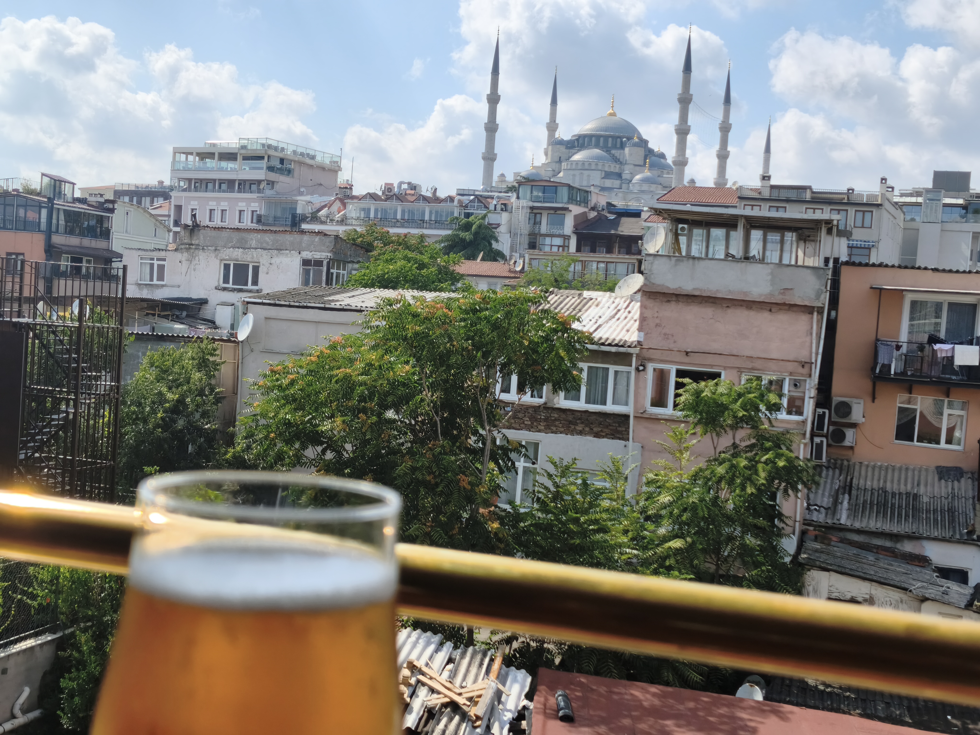
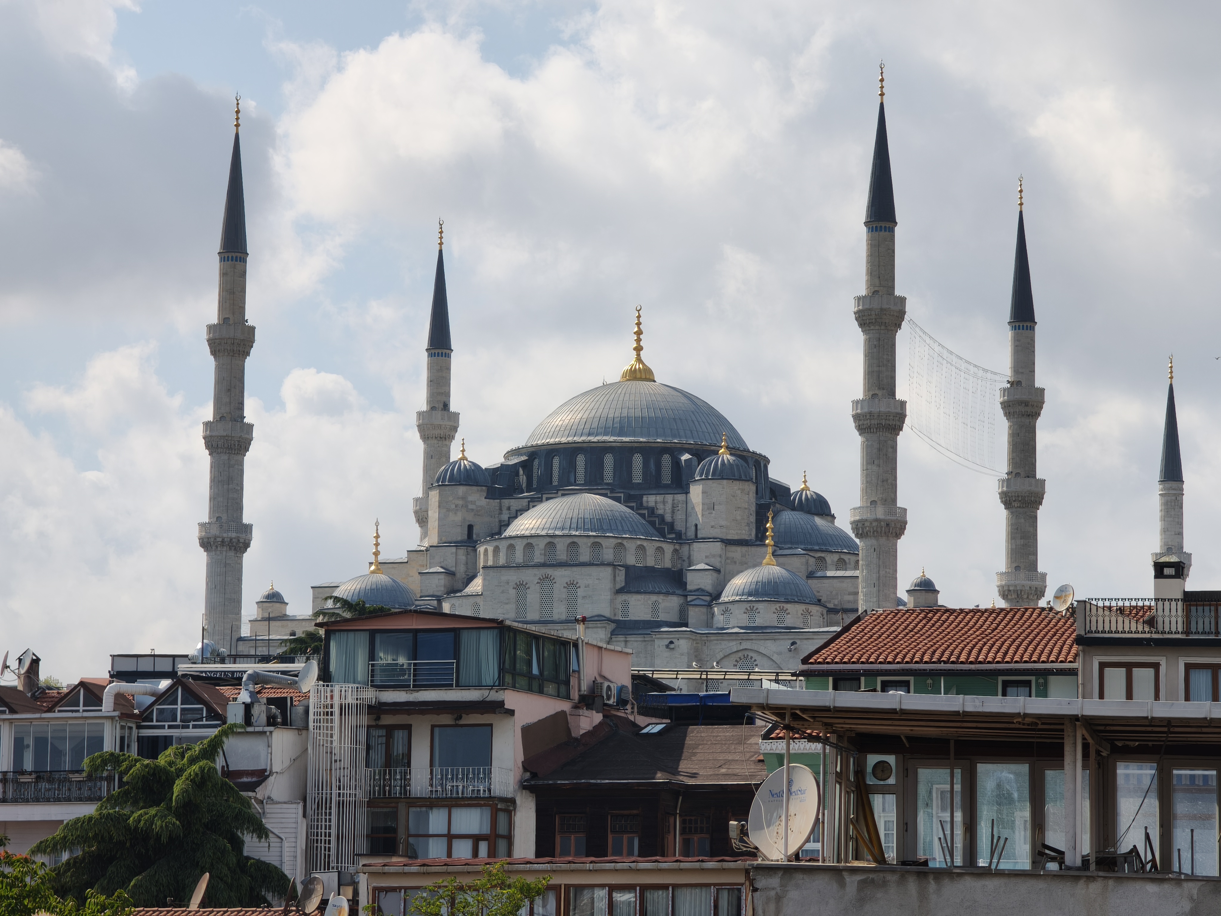
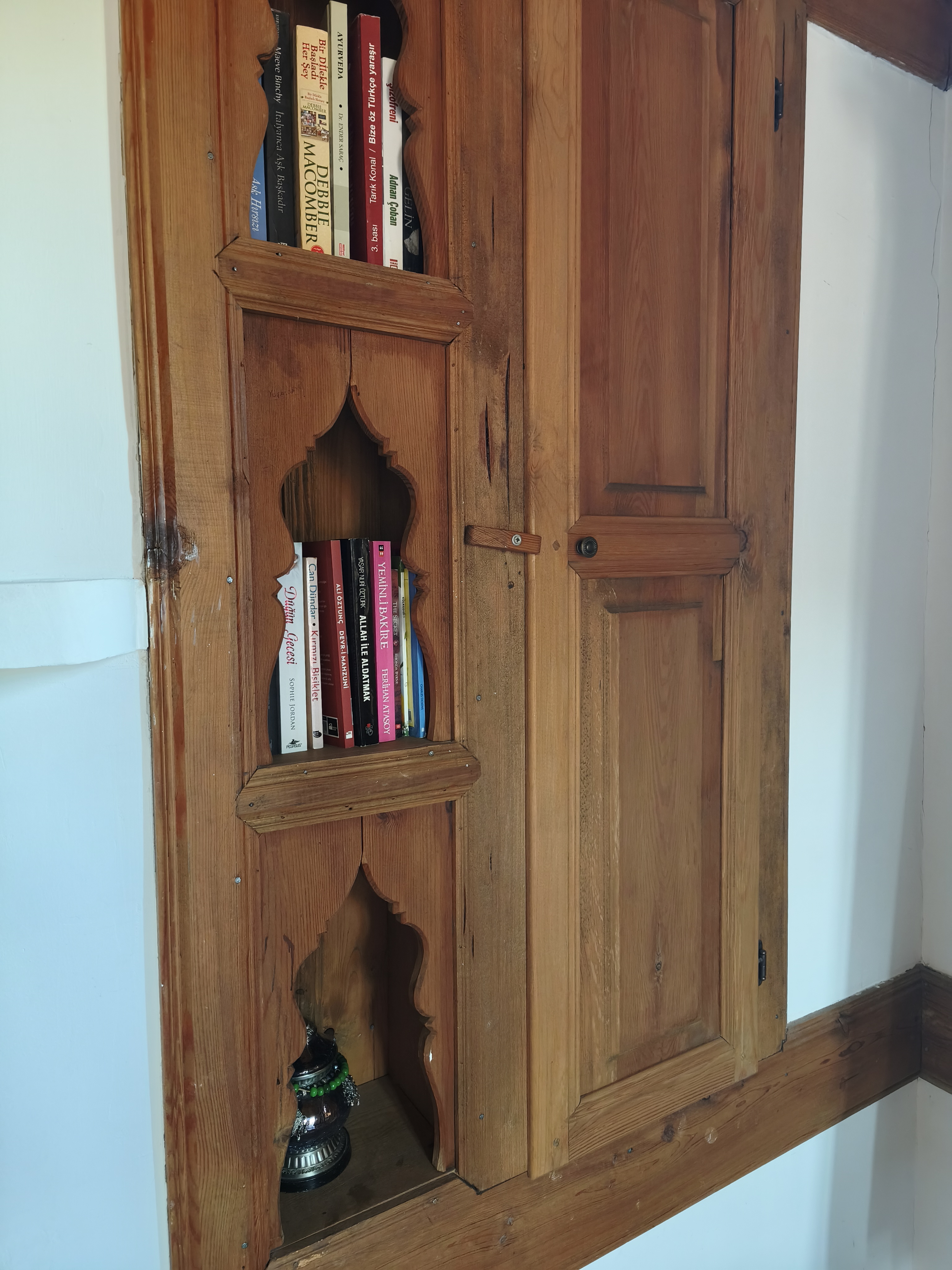
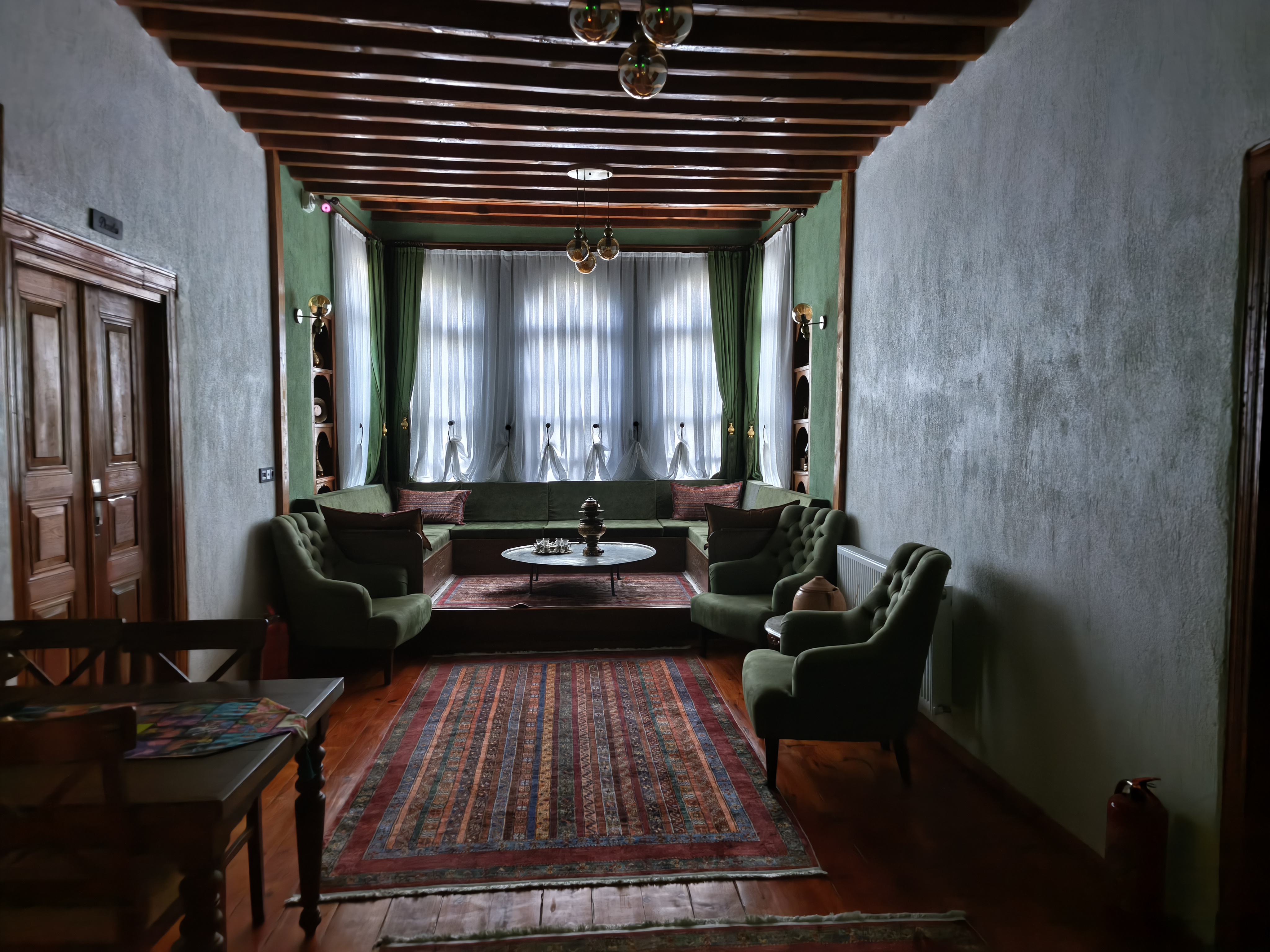
One last breakfast on the hotel rooftop with a panoramic view of the Blue Mosque and the Bosphorus before crossing over into Asia. The megacity quickly fades away, giving way to the dense forests of the East. We take a narrow cobbled road through Yedigöller National Park. Arrival in the late afternoon in the historic town of Safranbolu, famous for its Ottoman mansions and saffron cultivation. Night in a traditional konak (Ottoman wooden mansion).
Dernier petit-déjeuner sur le toit de l’hôtel avec vue panoramique sur la Mosquée Bleue et le Bosphore avant de basculer en Asie. La mégapole s’efface rapidement au profit des denses forêts de l’Est. Nous empruntons une étroite route de pavés à travers le parc national de Yedigöller. Arrivée en fin d’après-midi dans la ville historique de Safranbolu, réputée pour ses demeures ottomanes et sa culture du safran. Nuit dans un konak traditionnel (demeure en bois ottomane).
Day #8: Safranbolu – Kastamonu. Distance: 412 km (Road)
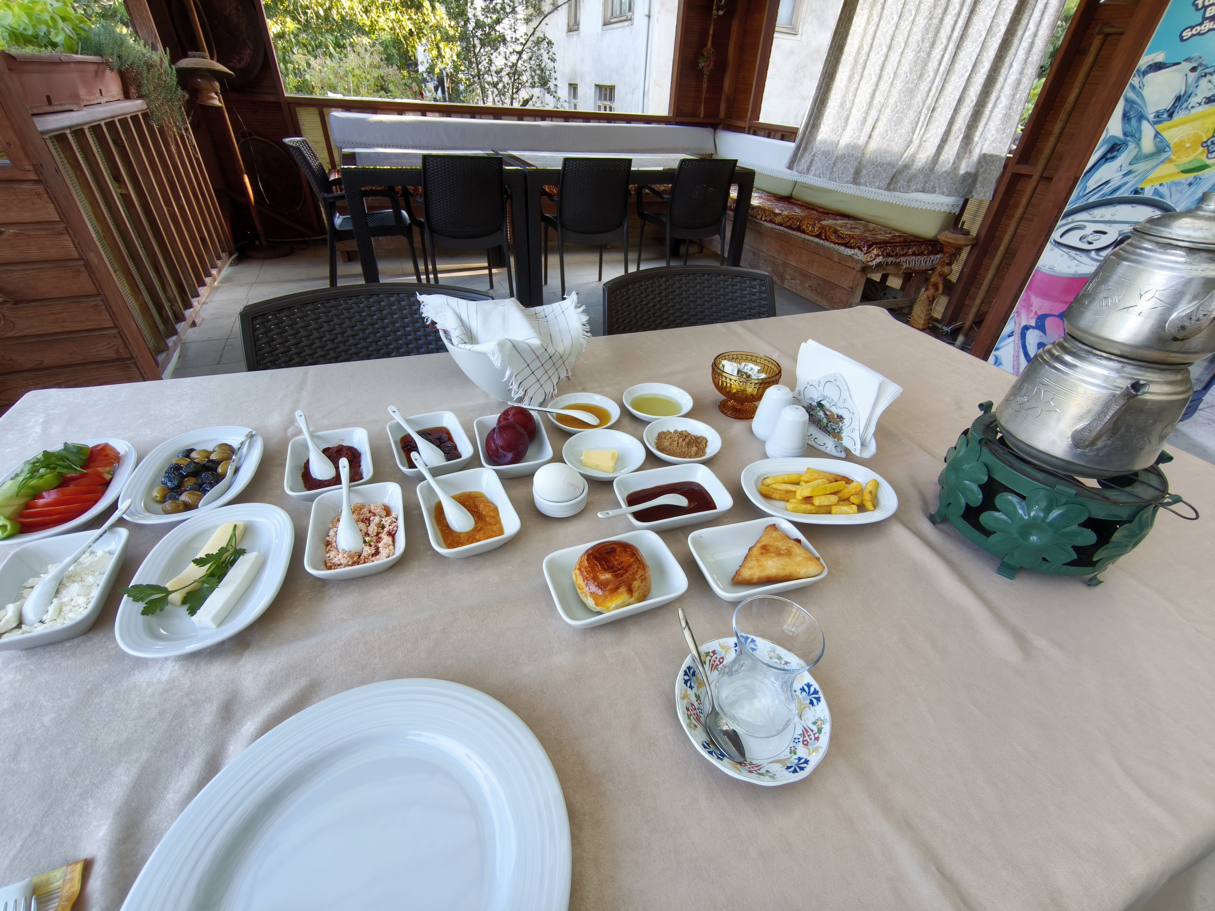
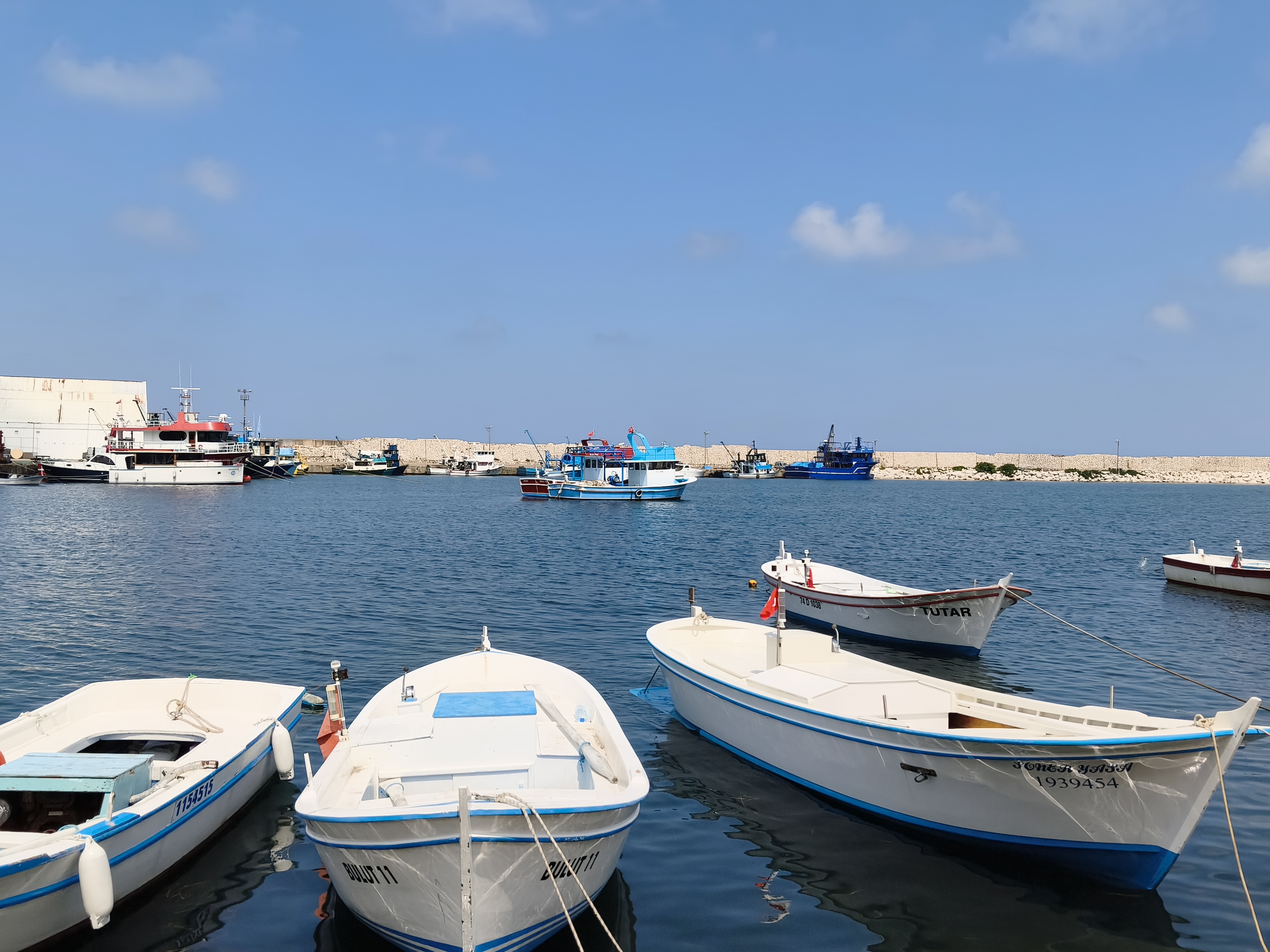
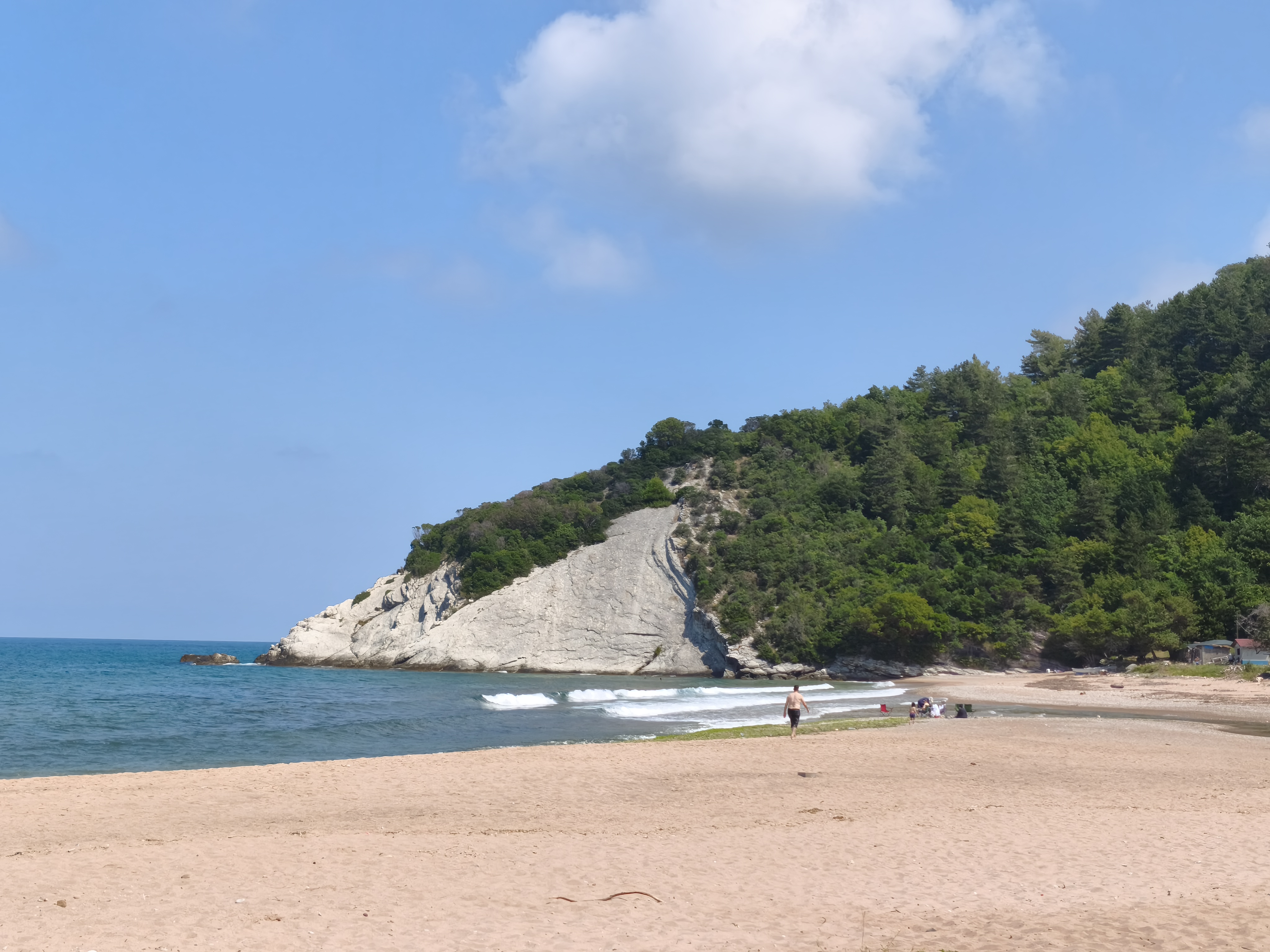
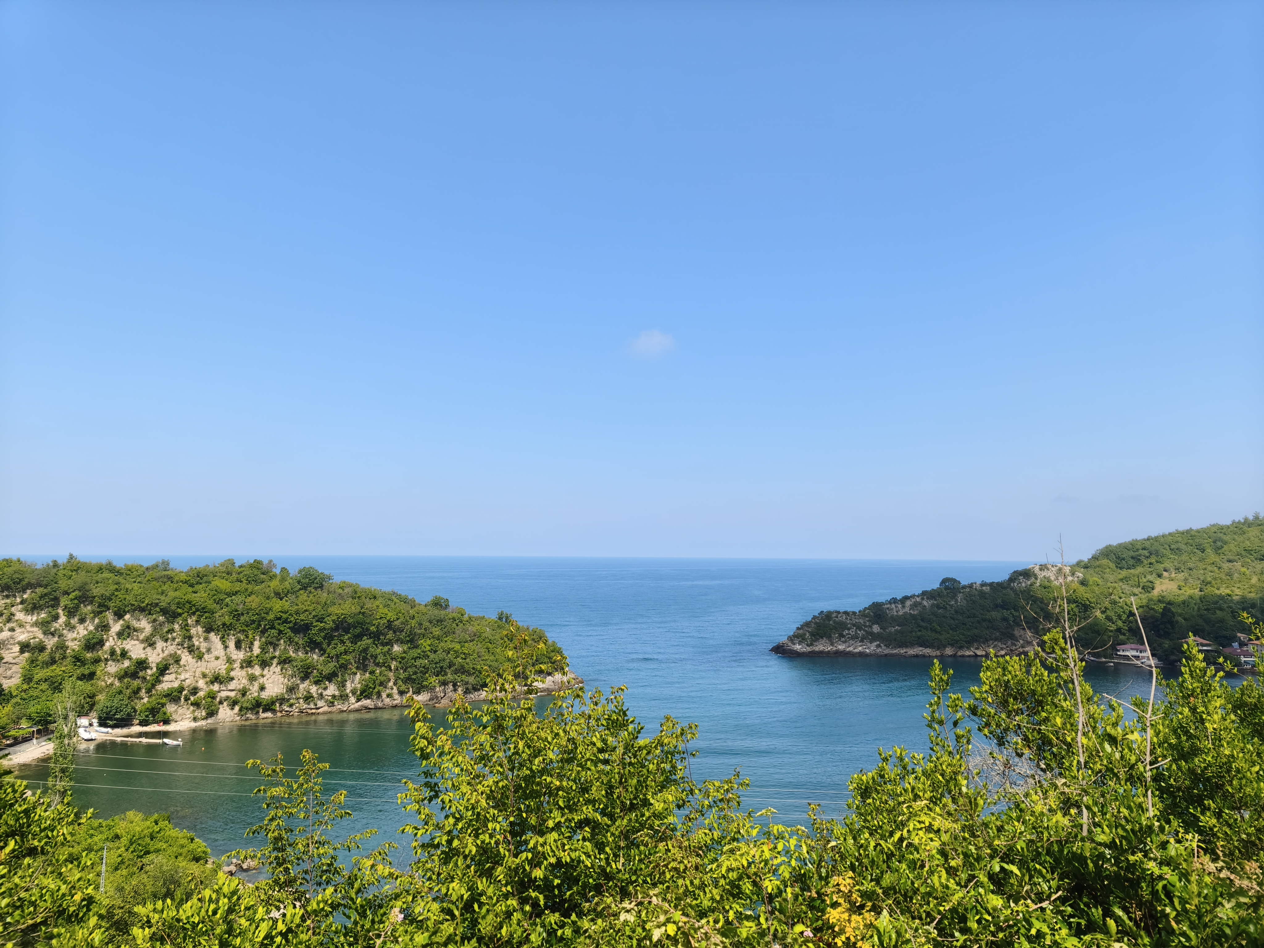
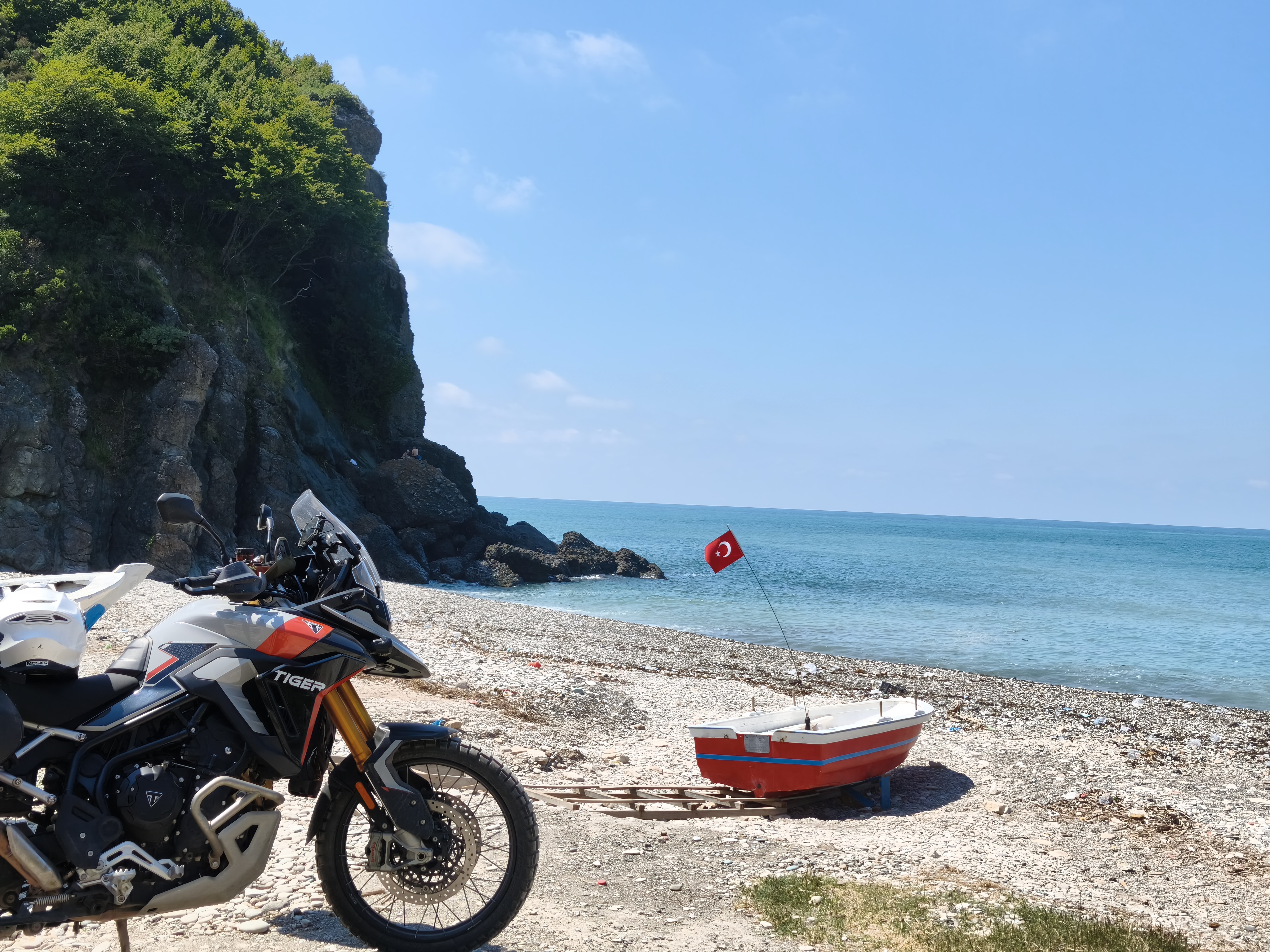
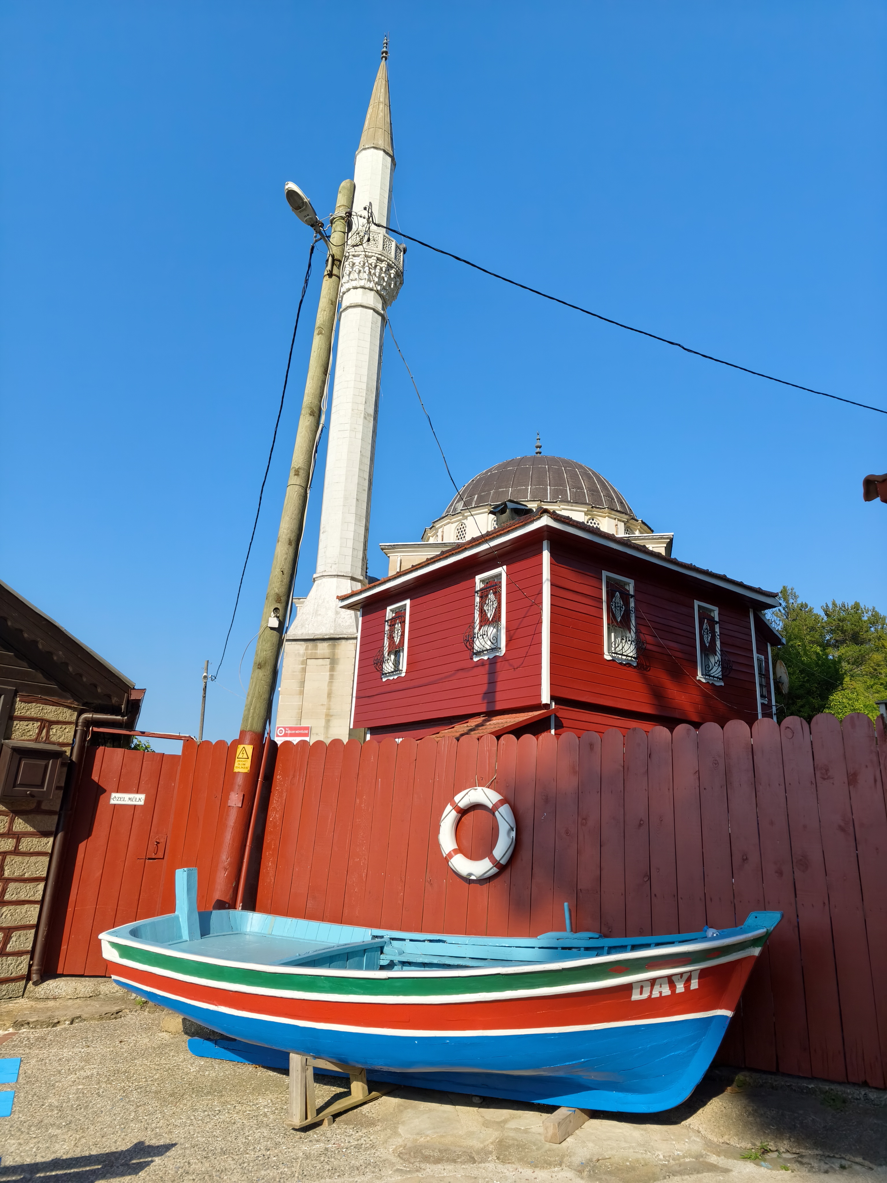
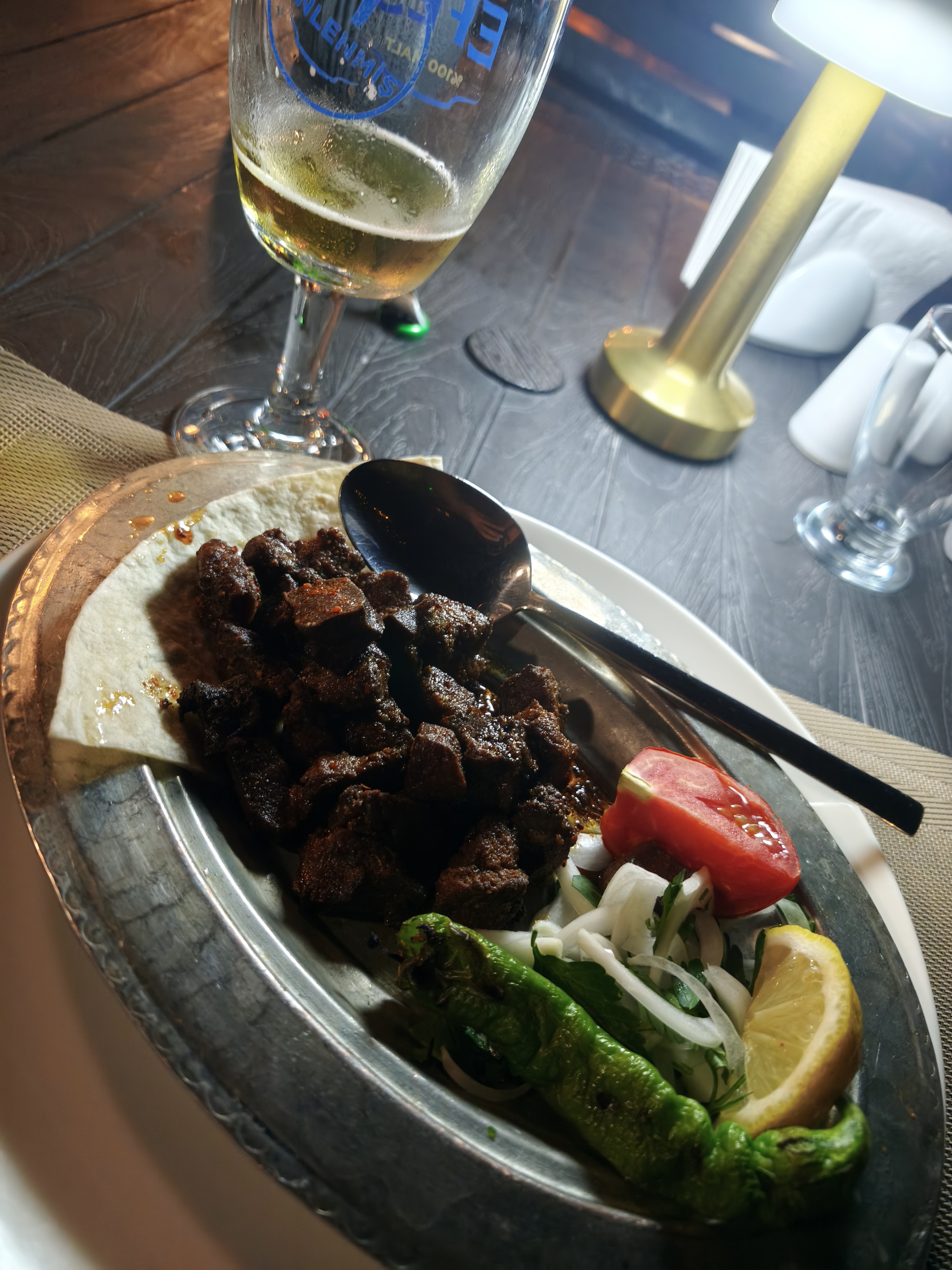
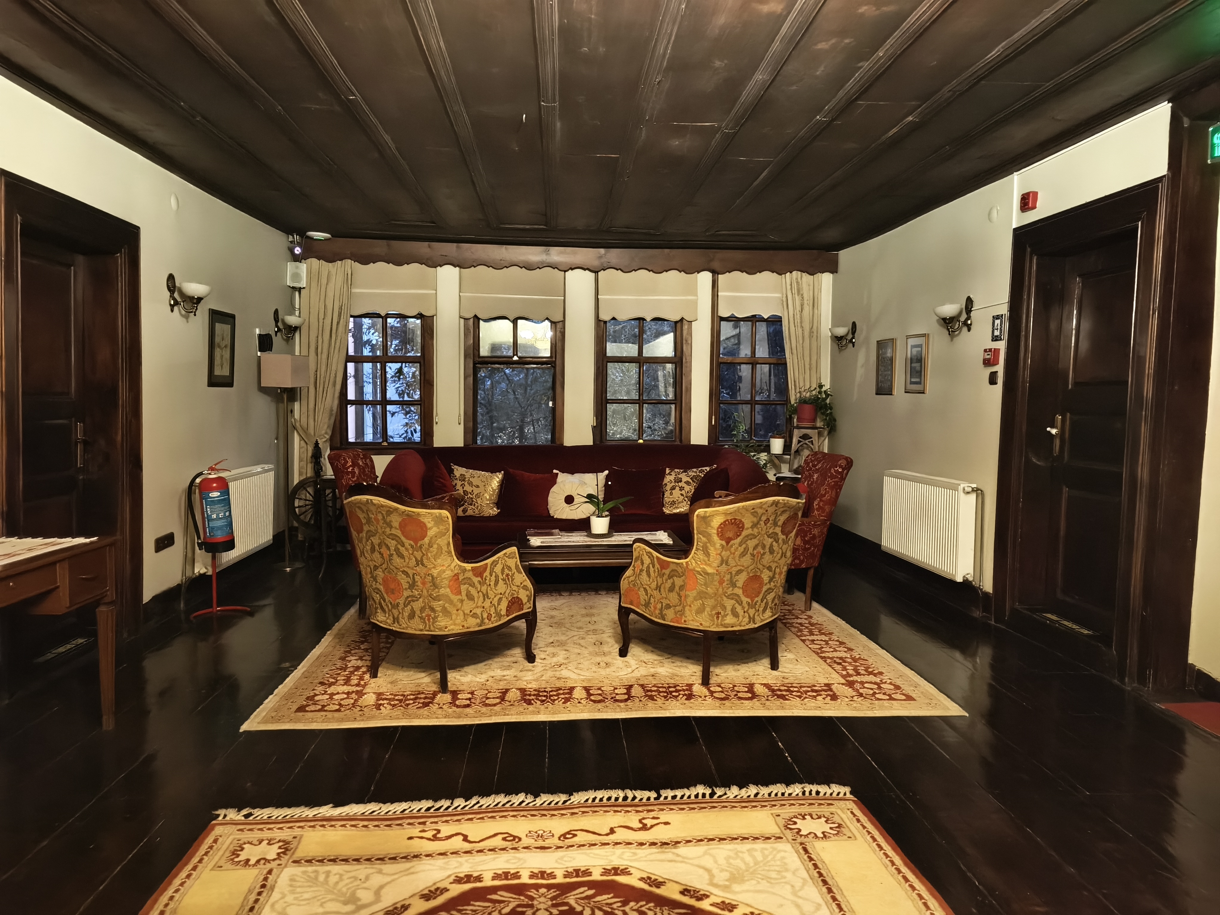
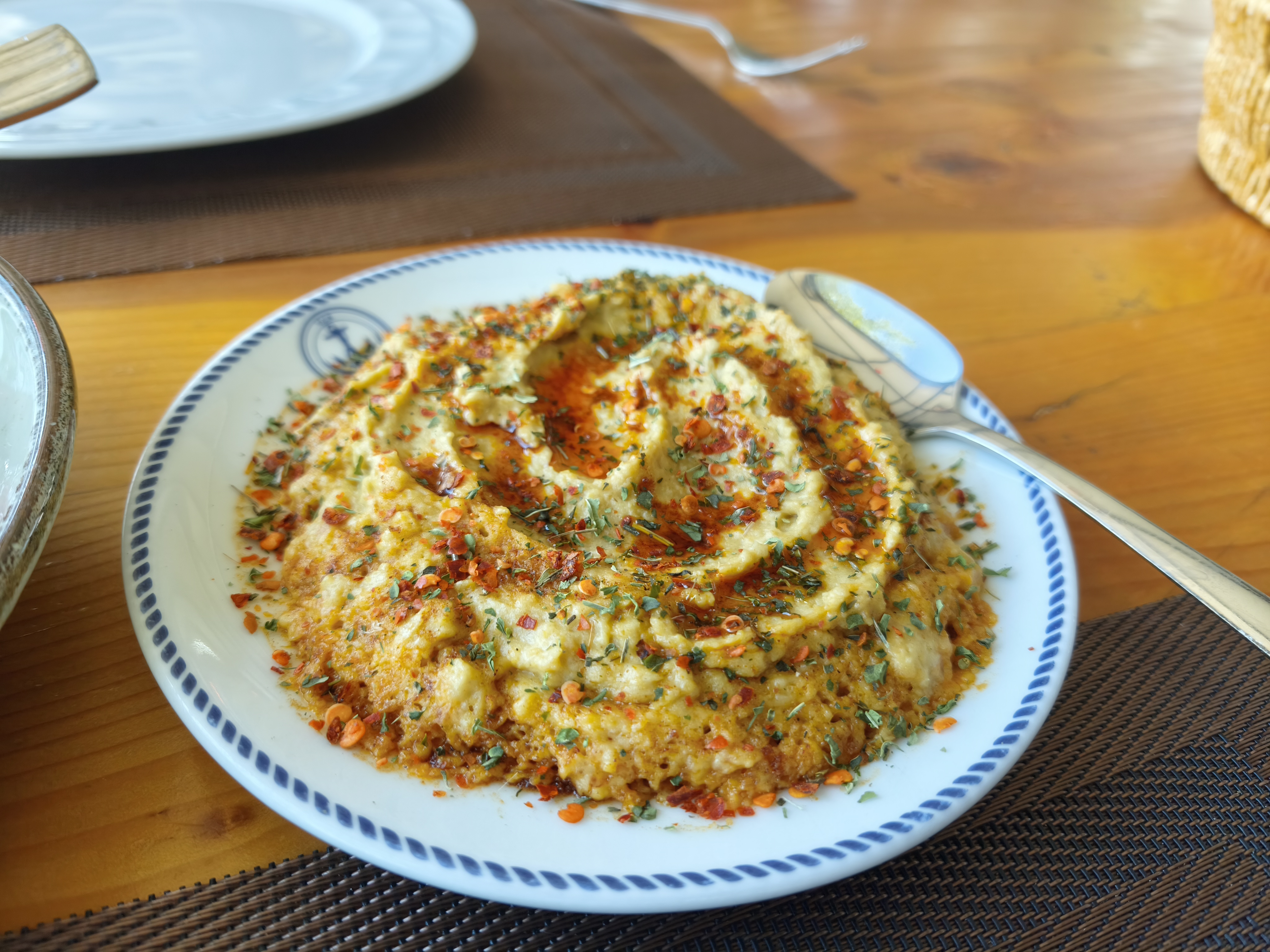
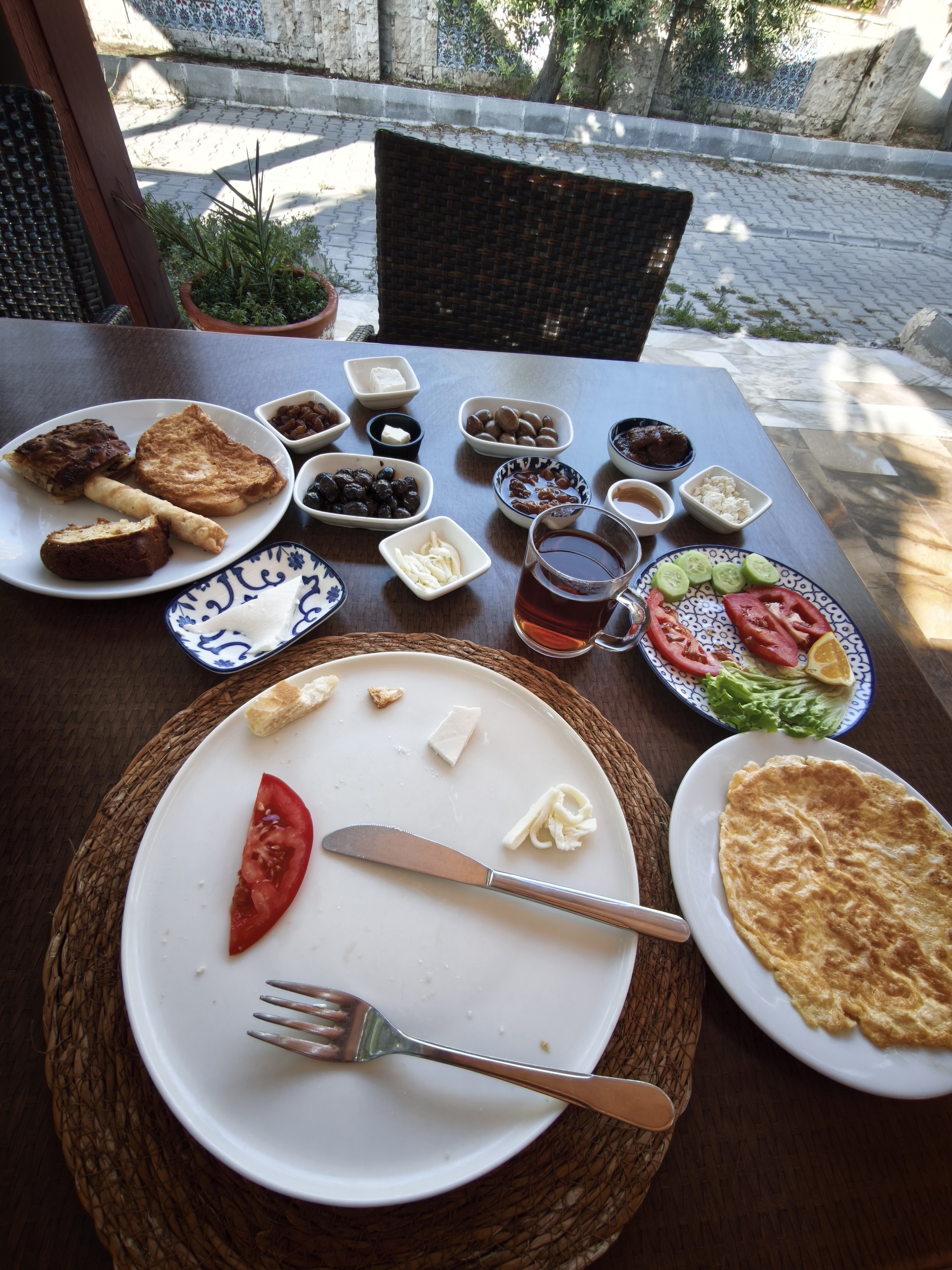
Waking up facing the minaret and enjoying the first real traditional Turkish breakfast (serpme kahvaltı): a gargantuan spread of cheeses, olives, tomatoes, eggs, honey, and endless glasses of çay.
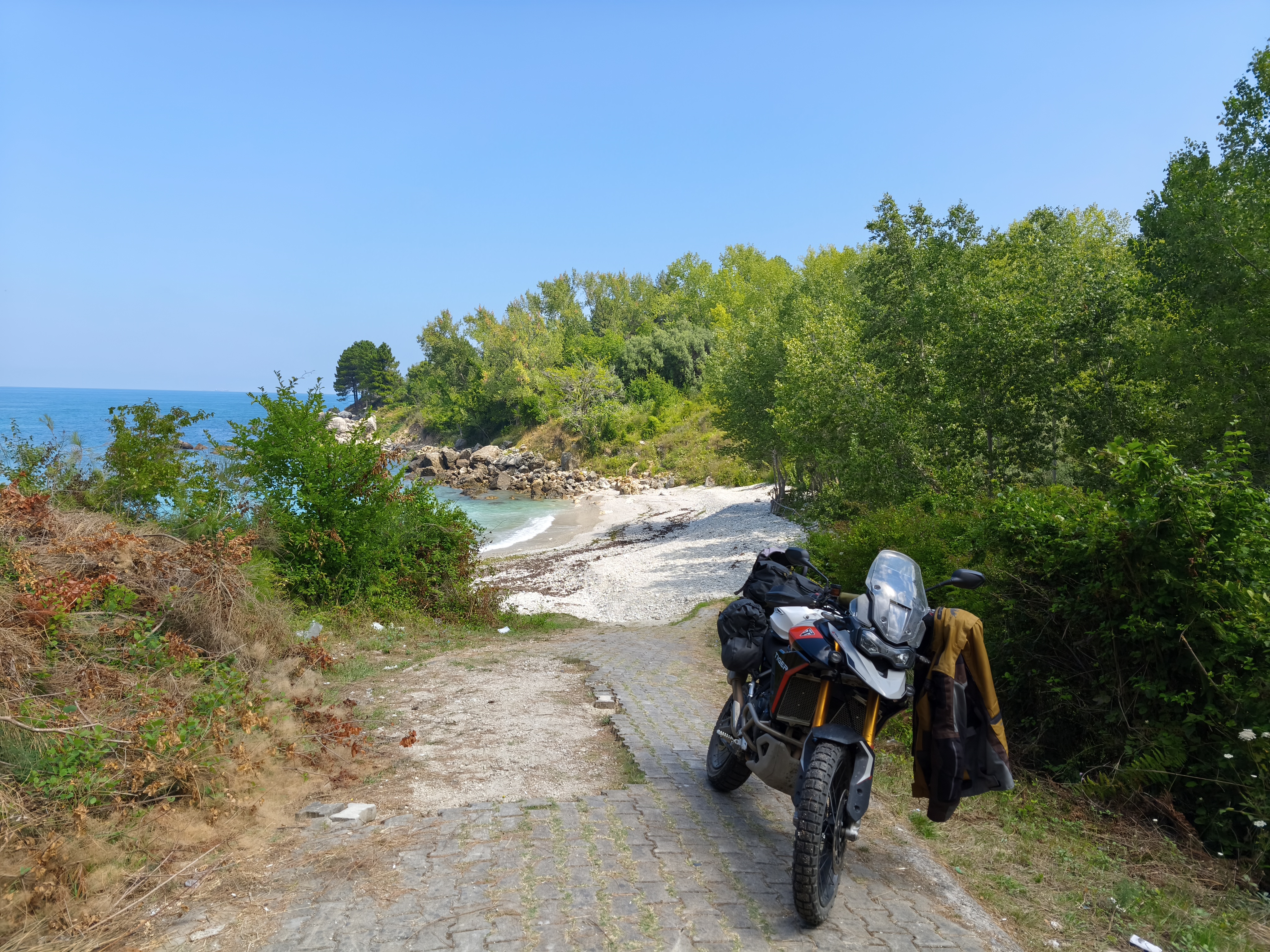
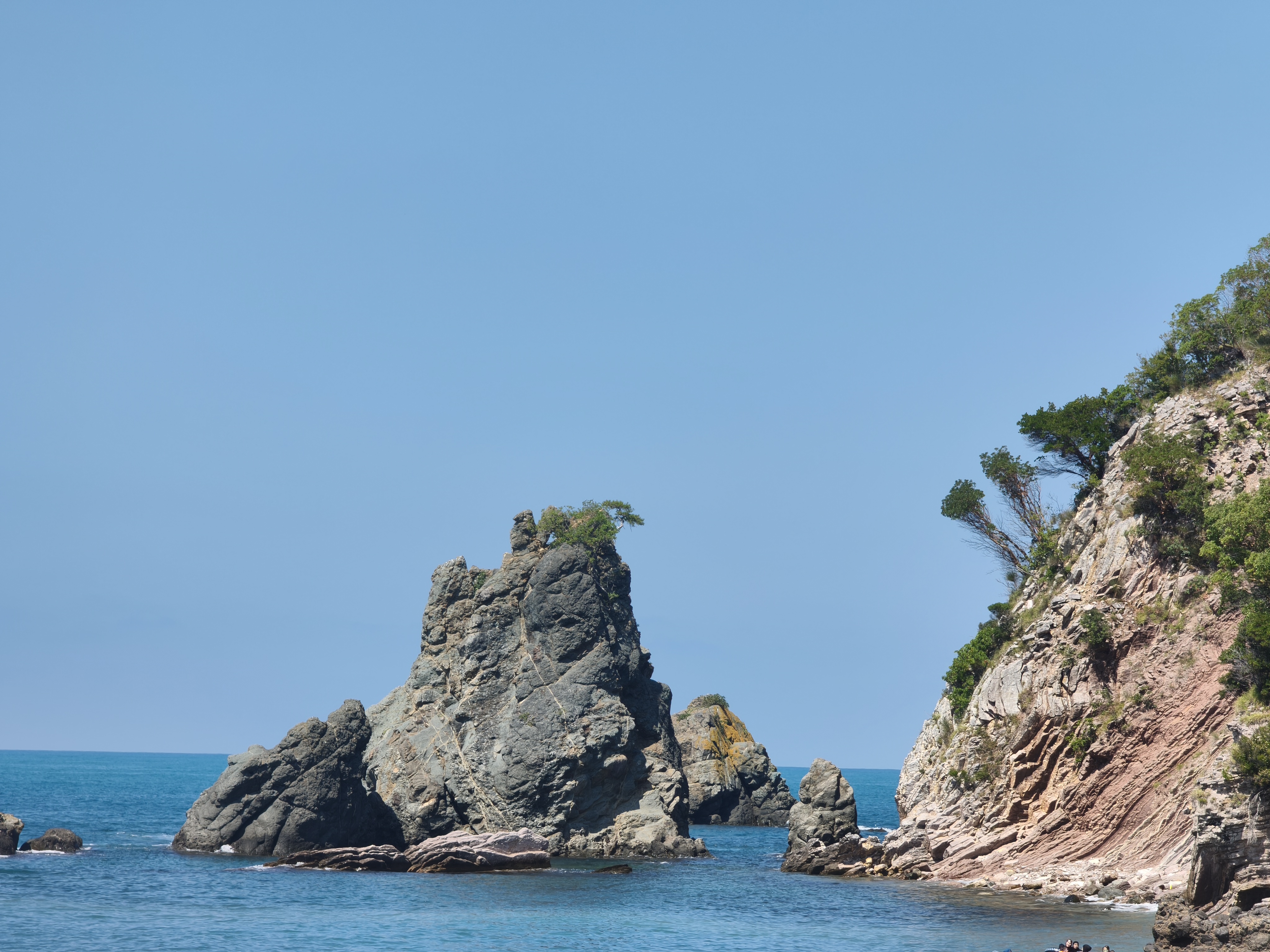
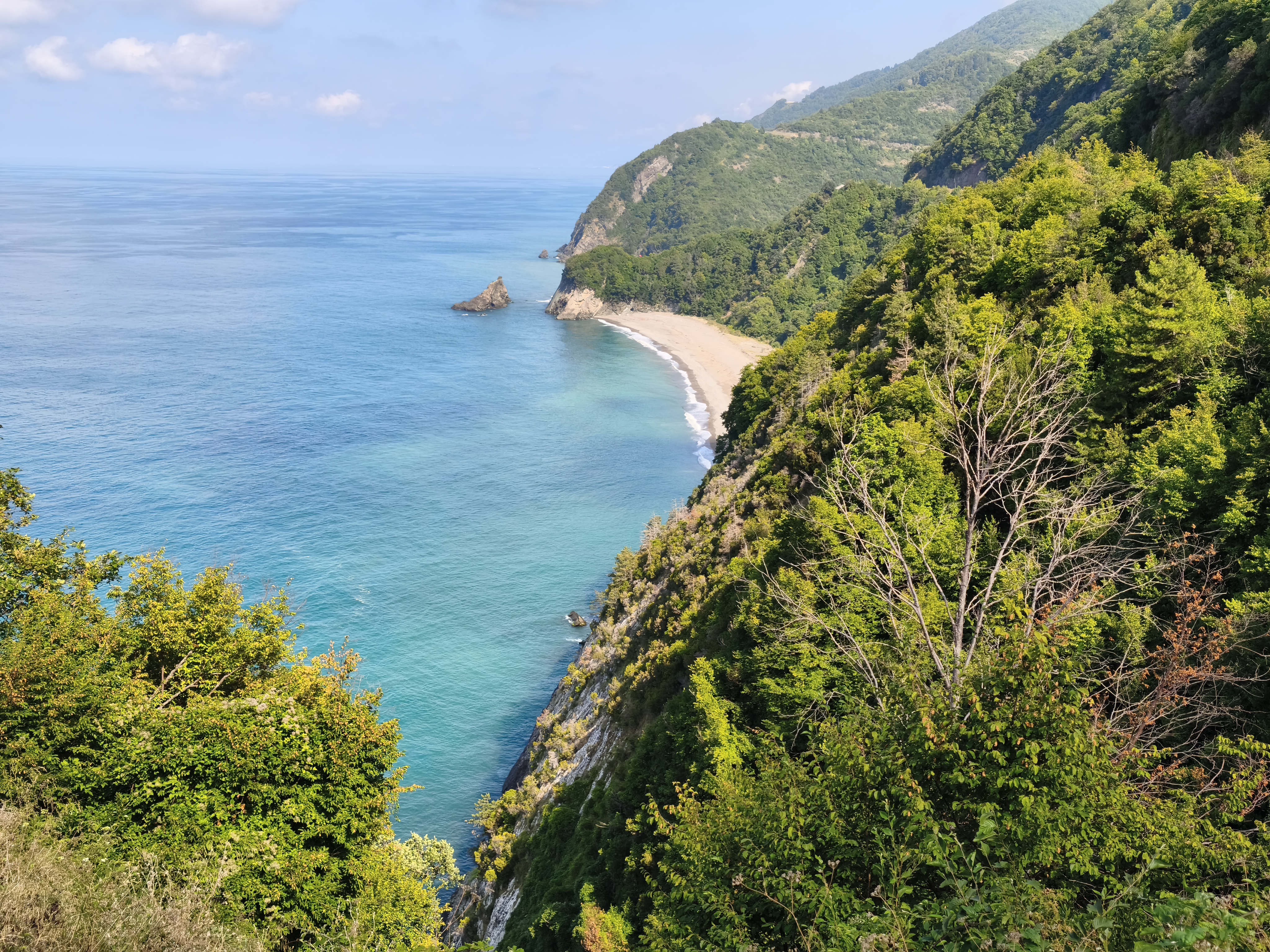
Heading toward the famous Black Sea road between Amasra and Abana, highlighted on the Dangerous Roads website. Over 150 km of narrow, battered, and winding asphalt clinging to cliffs, marked by recent landslides. While not deadly, this section requires constant concentration and a healthy dose of humility. The reward? Wild turquoise coves and isolated villages where time seems to have stood still. Those who have seen the Turkish film Mustang, a drama highlighting the difficult transition toward breaking away from patriarchy in Turkey, will have a clear picture of the landscapes crossed. Evening stop in Kastamonu in another perfectly preserved konak.
Réveil face au minaret et premier vrai petit-déjeuner traditionnel turc (serpme kahvaltı) : gargantuesque assemblage de fromages, olives, tomates, œufs, miel et verres de çay à volonté.
Cap sur la célèbre route de la Mer Noire entre Amasra et Abana, mise à l’honneur sur le site Dangerous Roads. Plus de 150 km d’asphalte étroit, défoncé et sinueux accroché aux falaises, marqué par de récents glissements de terrain. Sans être si dangereuse que réputée, cette section exige une concentration de chaque instant et une bonne dose d’humilité. La récompense ? Des criques turquoise sauvages et des villages isolés où le temps semble s’être arrêté. Celles et ceux qui ont vu le film turc, « Mustang », drame mettant en avant les difficultés de transition vers la fin du patriarcat en Turquie, auront une image des paysages traversés. Halte du soir à Kastamonu dans un autre konak parfaitement préservé.
Day #9: Kastamonu – Amasya. Distance: 408 km (333 km Road / 75 km Off-road track)
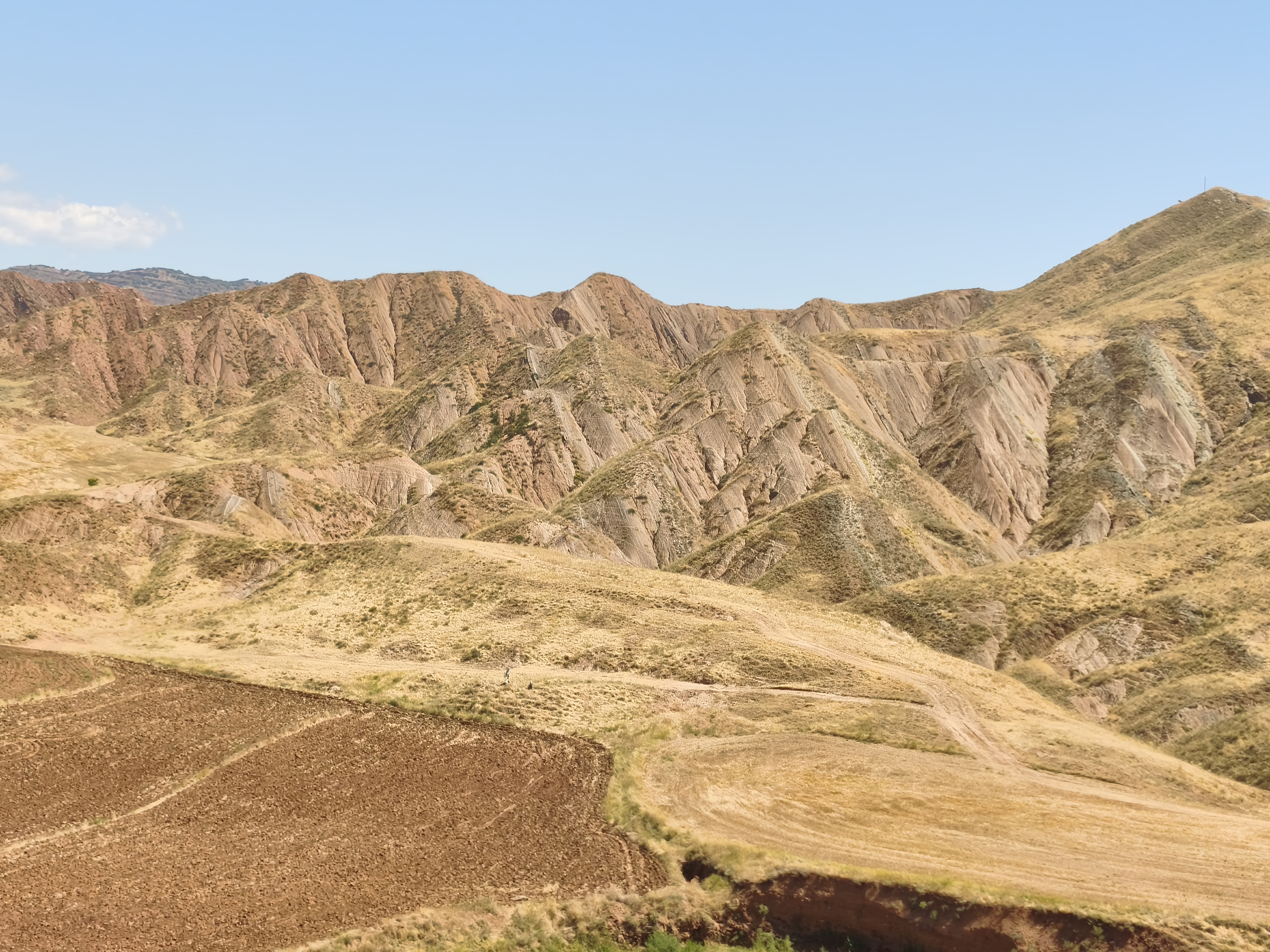
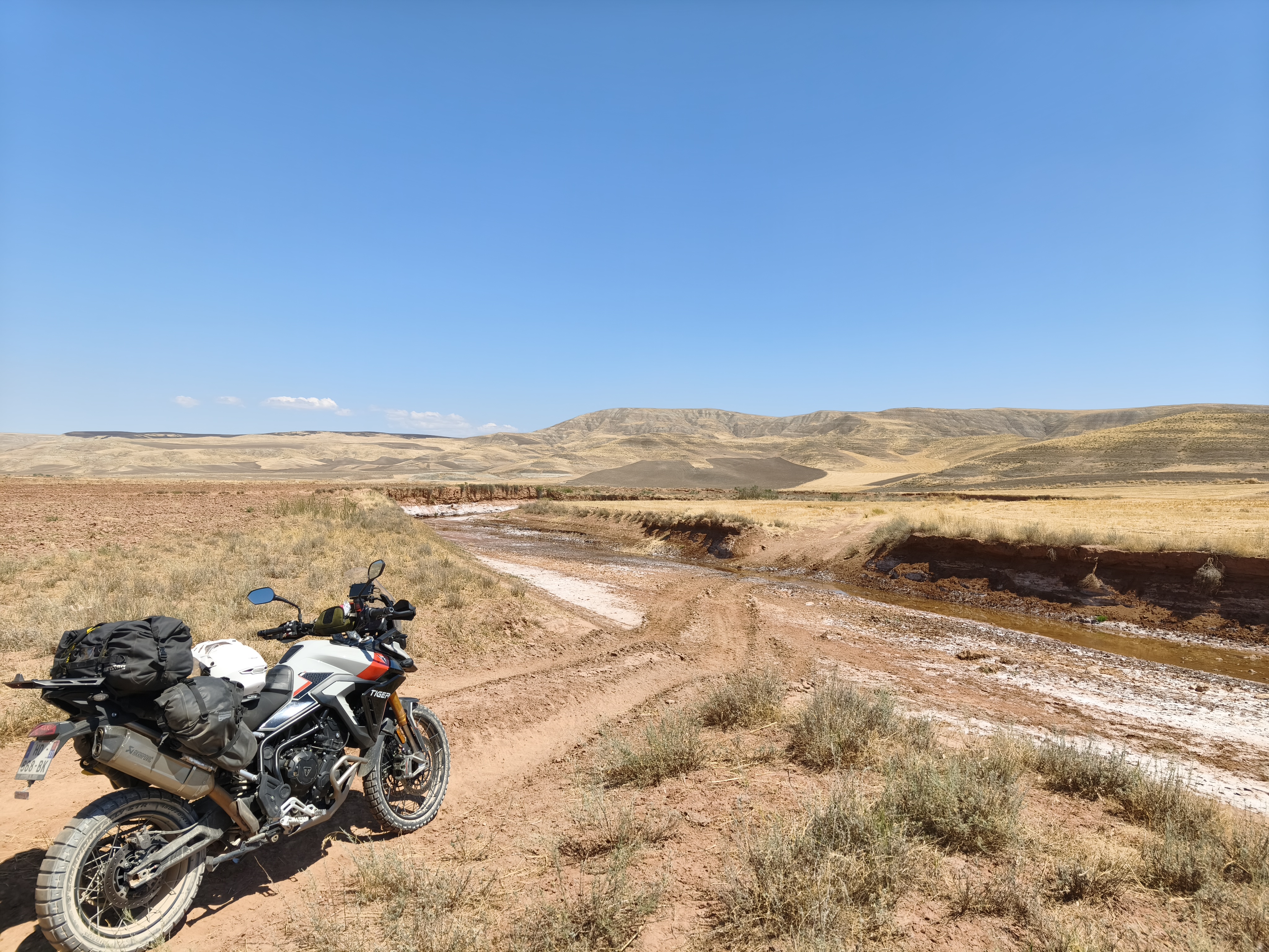
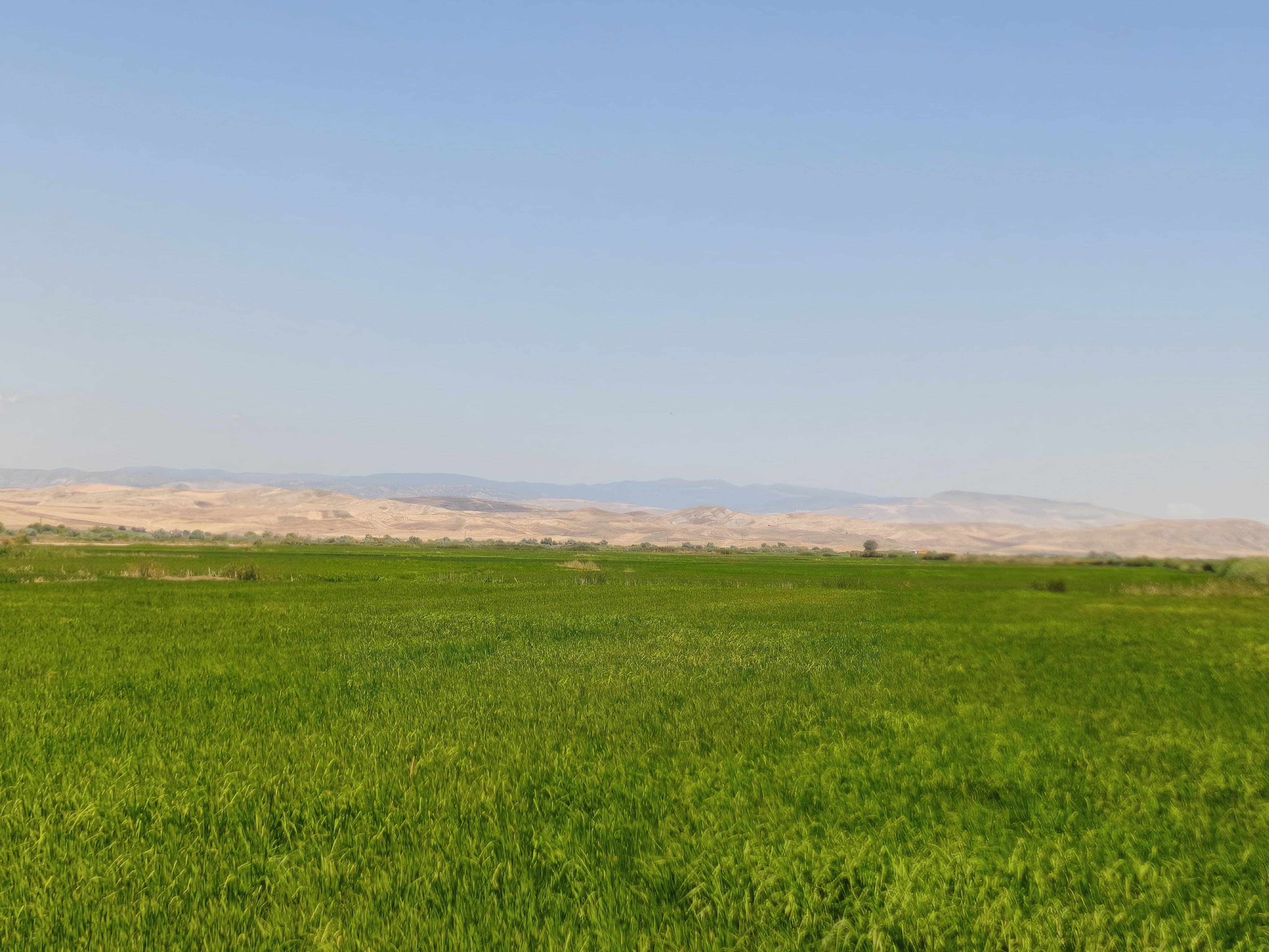
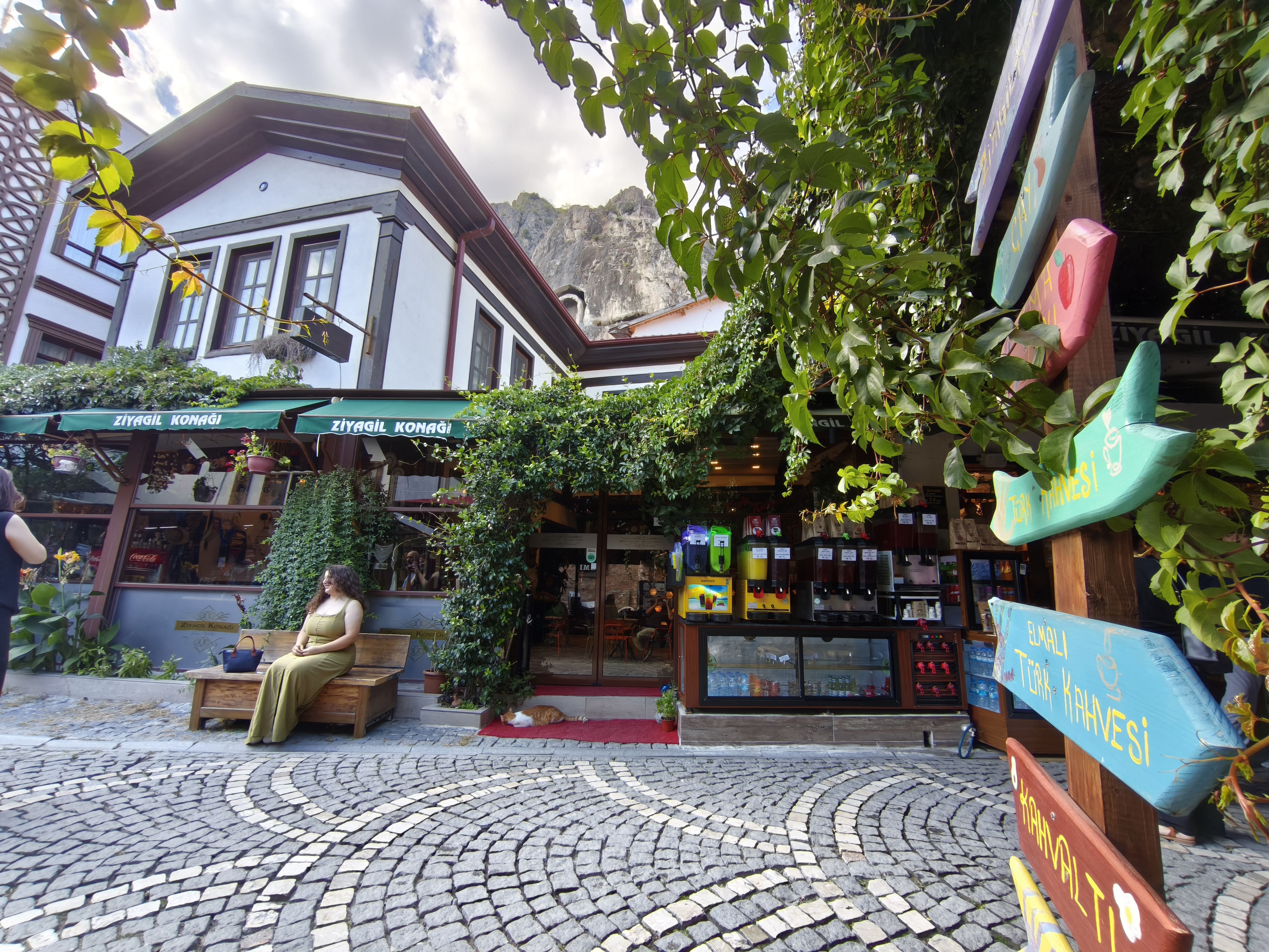
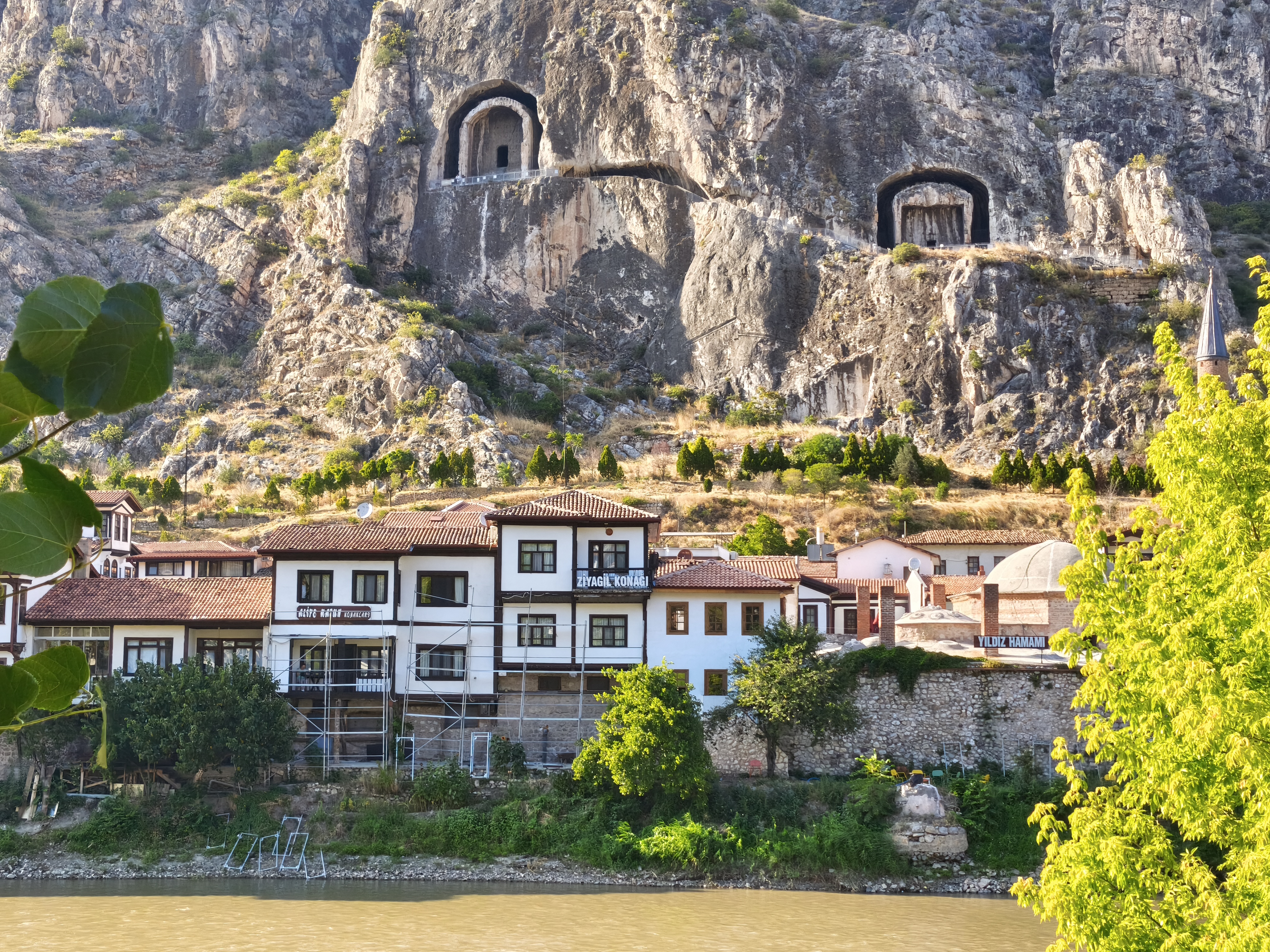
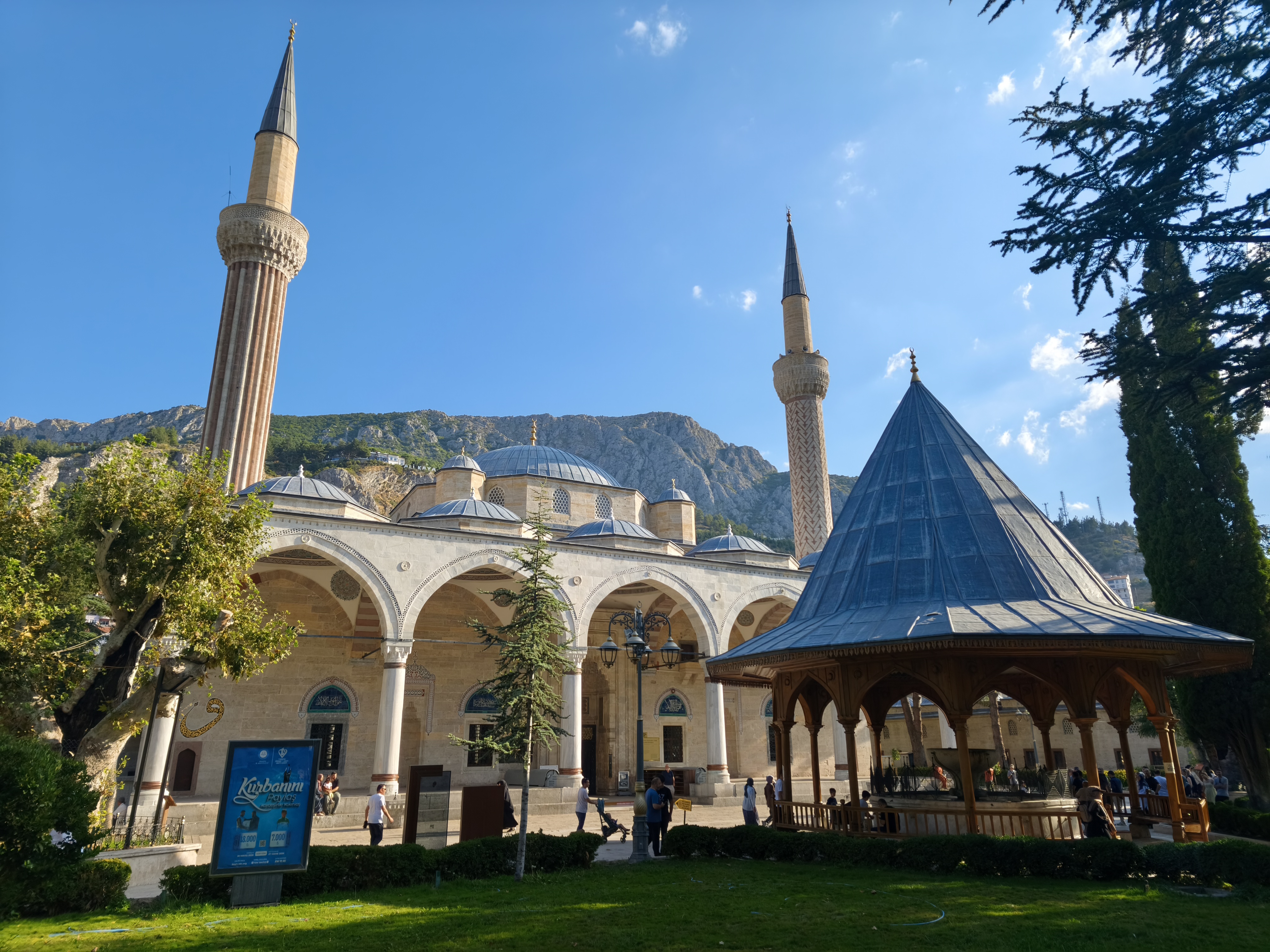
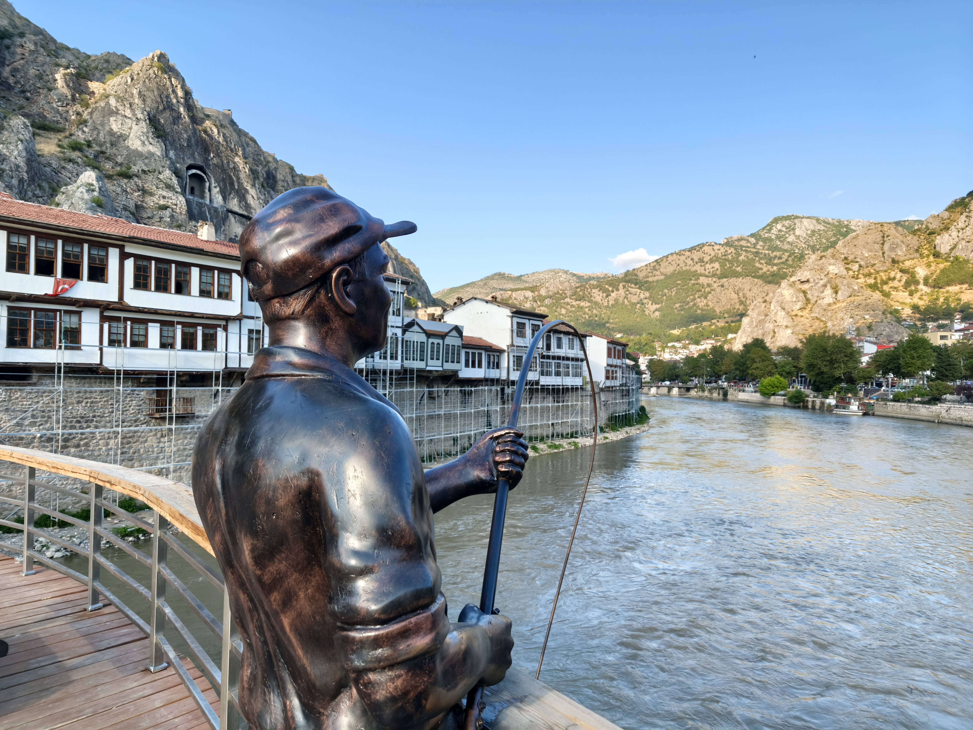
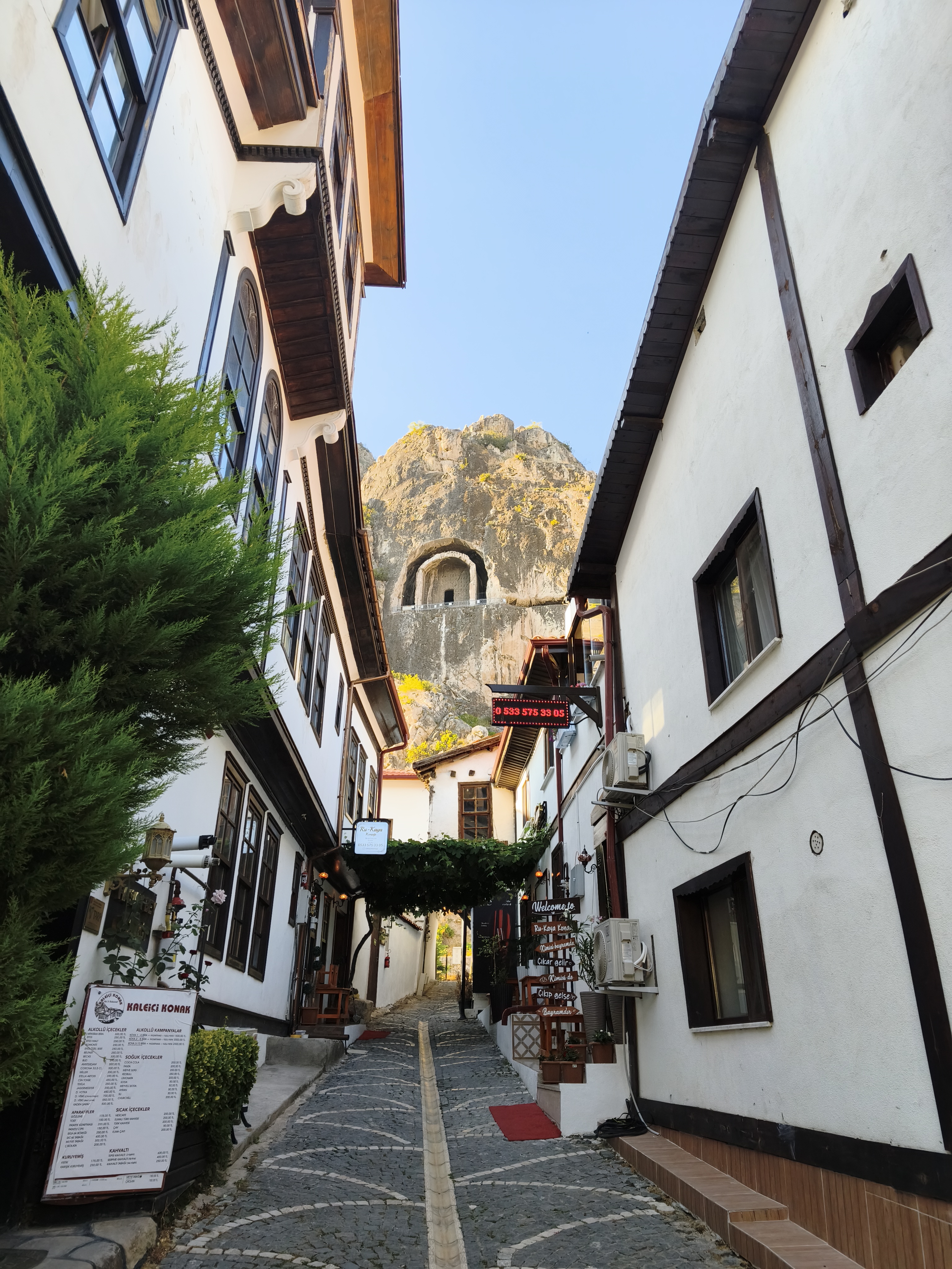
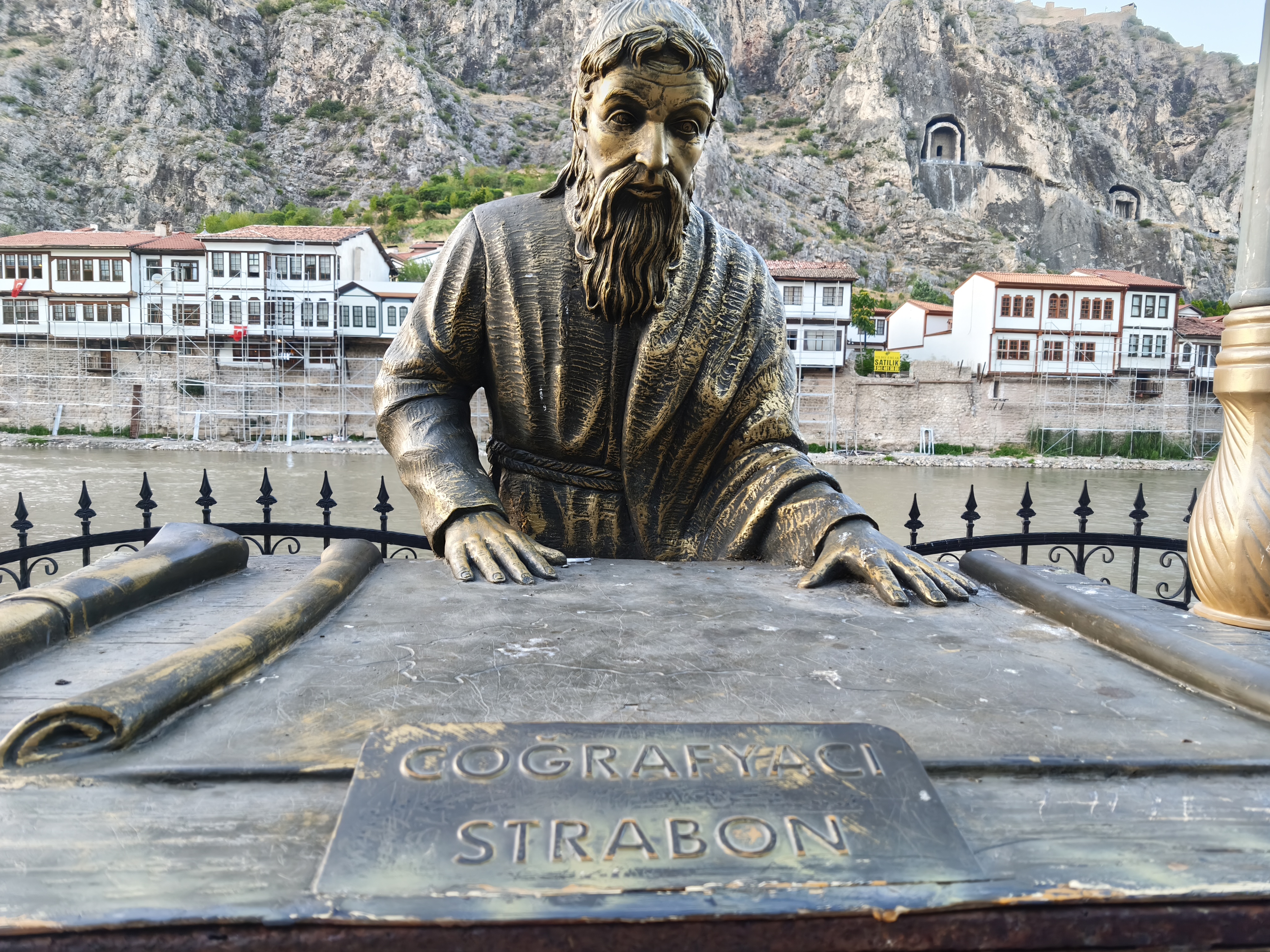
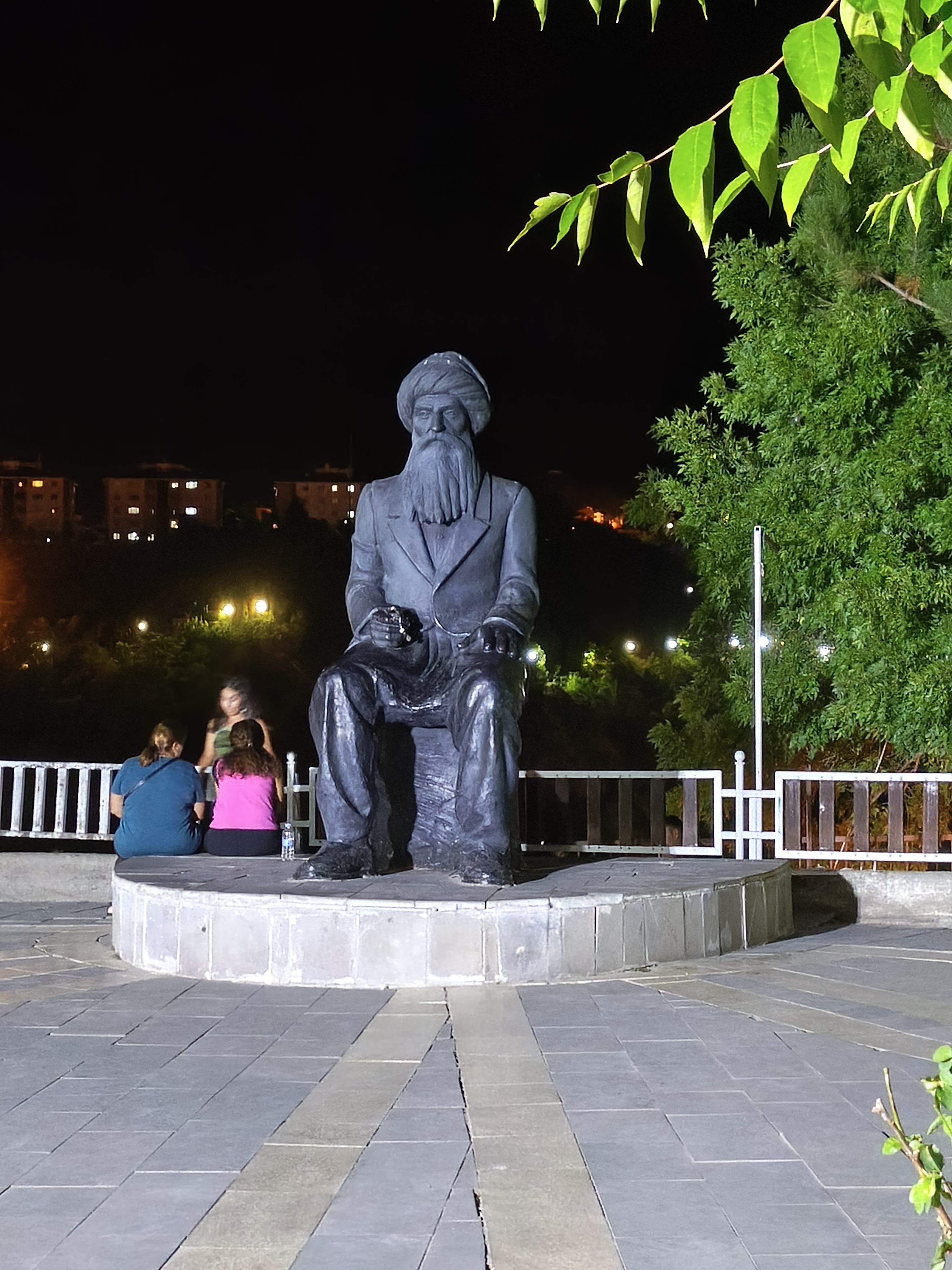
A long off-road section through a desert-like region of Central Anatolia. Back in my element! Crossing forgotten valleys, pine forests, and rocky plateaus. It is beautiful, but the distress of the rural world in the face of water shortages raises serious questions about the future. Arrival in Amasya, a spectacular town wedged into a narrow gorge along the Yeşilırmak River, dominated by the tombs of the Kings of Pontus carved directly into the cliffside. Night in a konak by the water. Amasya is the birthplace of Strabo (60 BC), one of the founding fathers of geography. He earned himself a little souvenir photo shoot.
Un long parcours off-road à travers une zone désertique de l’Anatolie centrale. Retour dans mon élément naturel ! Traversée de vallées oubliées, de forêts de pins et de plateaux rocheux. C’est beau, mais la détresse du monde rural face aux pénuries d’eau interroge sur l’avenir. Arrivée à Amasya, ville spectaculaire enchâssée dans une gorge étroite au bord du fleuve Yeşilırmak, dominée par les tombeaux des « Rois du Pont » creusés à même la falaise. Nuit dans un konak au fil de l’eau. Amasya est la ville natale de Strabon (60 av. J.-C.), l’un des pères fondateurs de la géographie. Il a eu droit à un petit shooting en souvenir.
Day #10: Amasya – Divriği. Distance: 455 km (410 km Route / 45 km Off-road track)
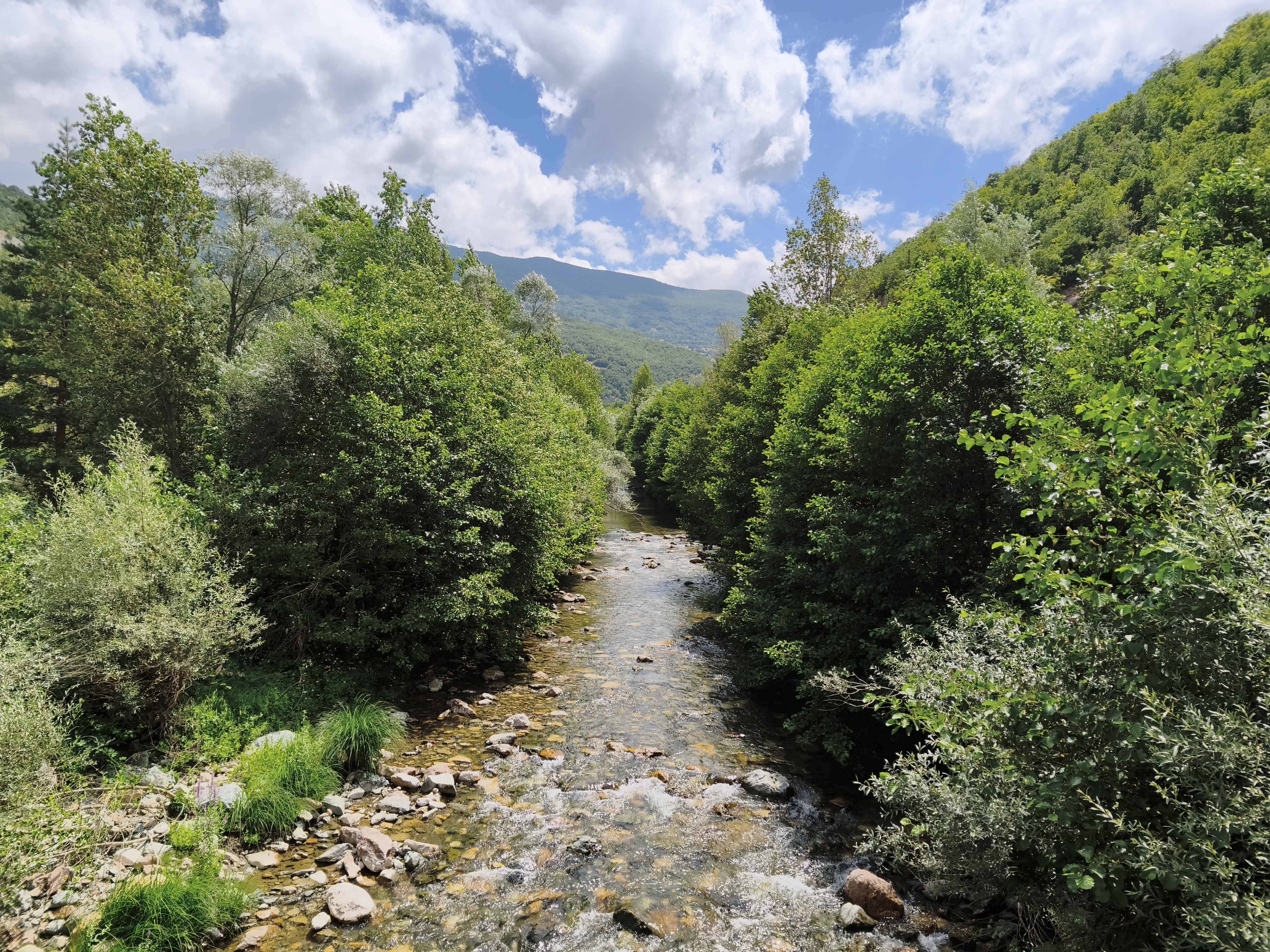
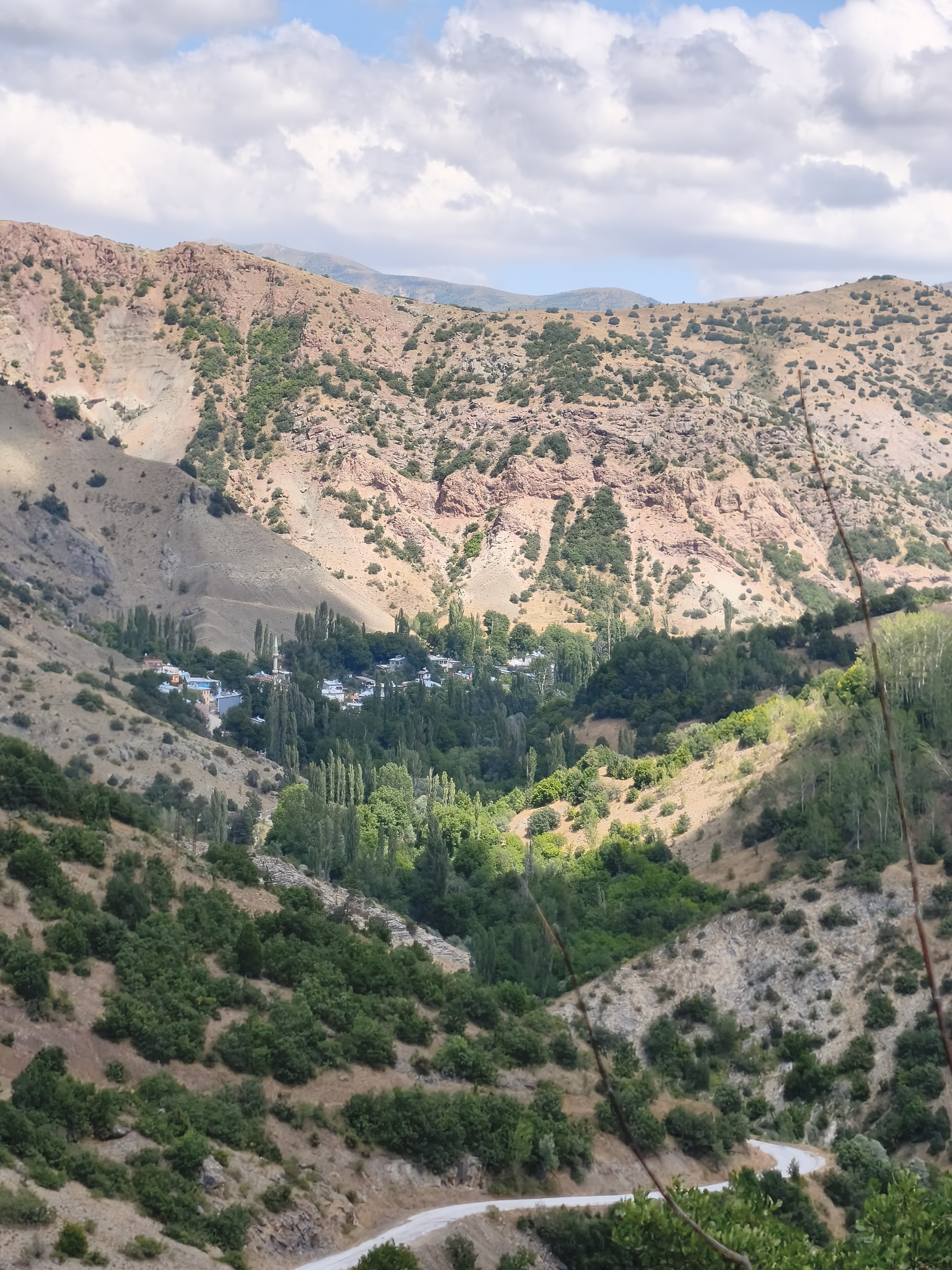
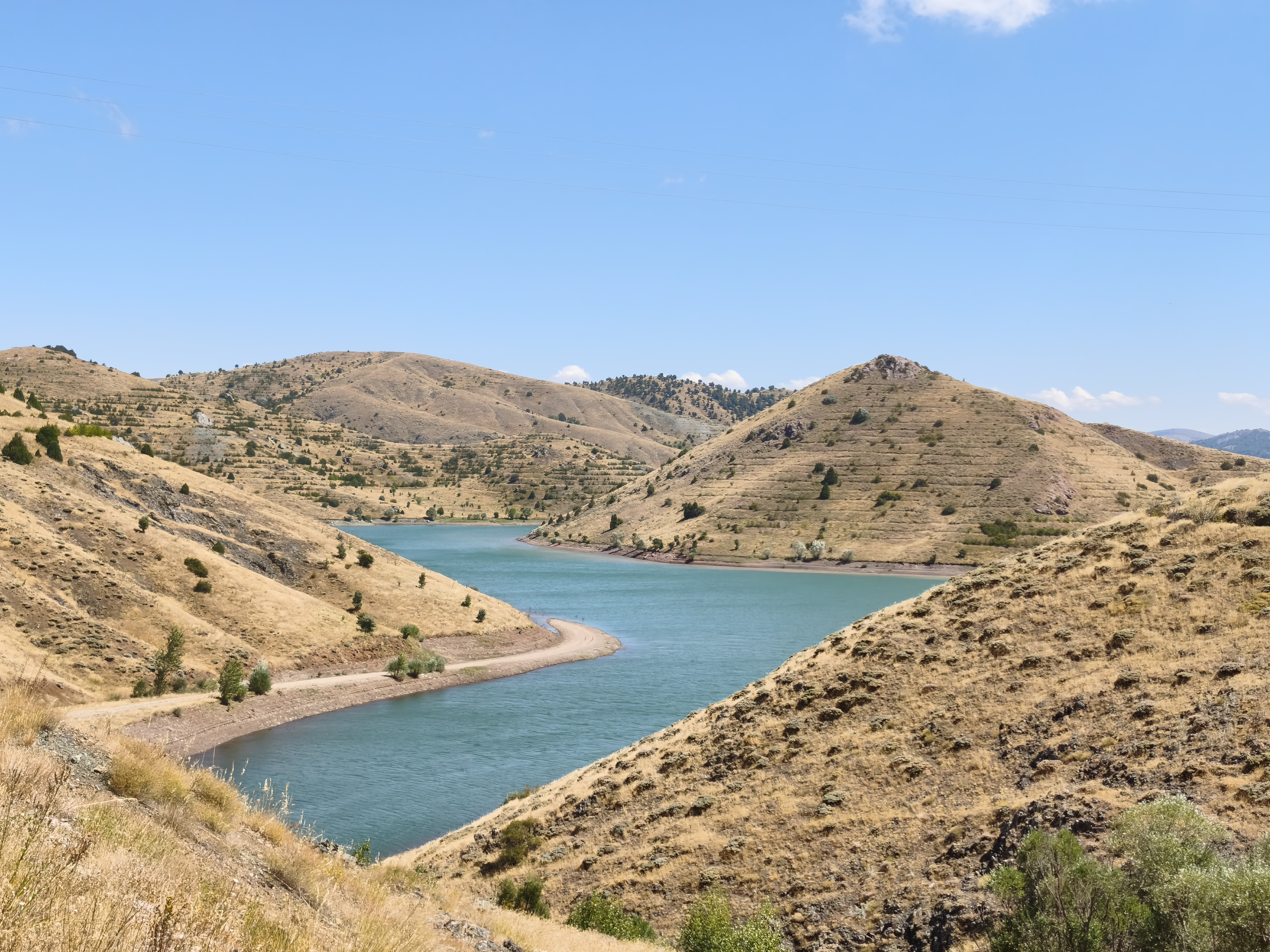
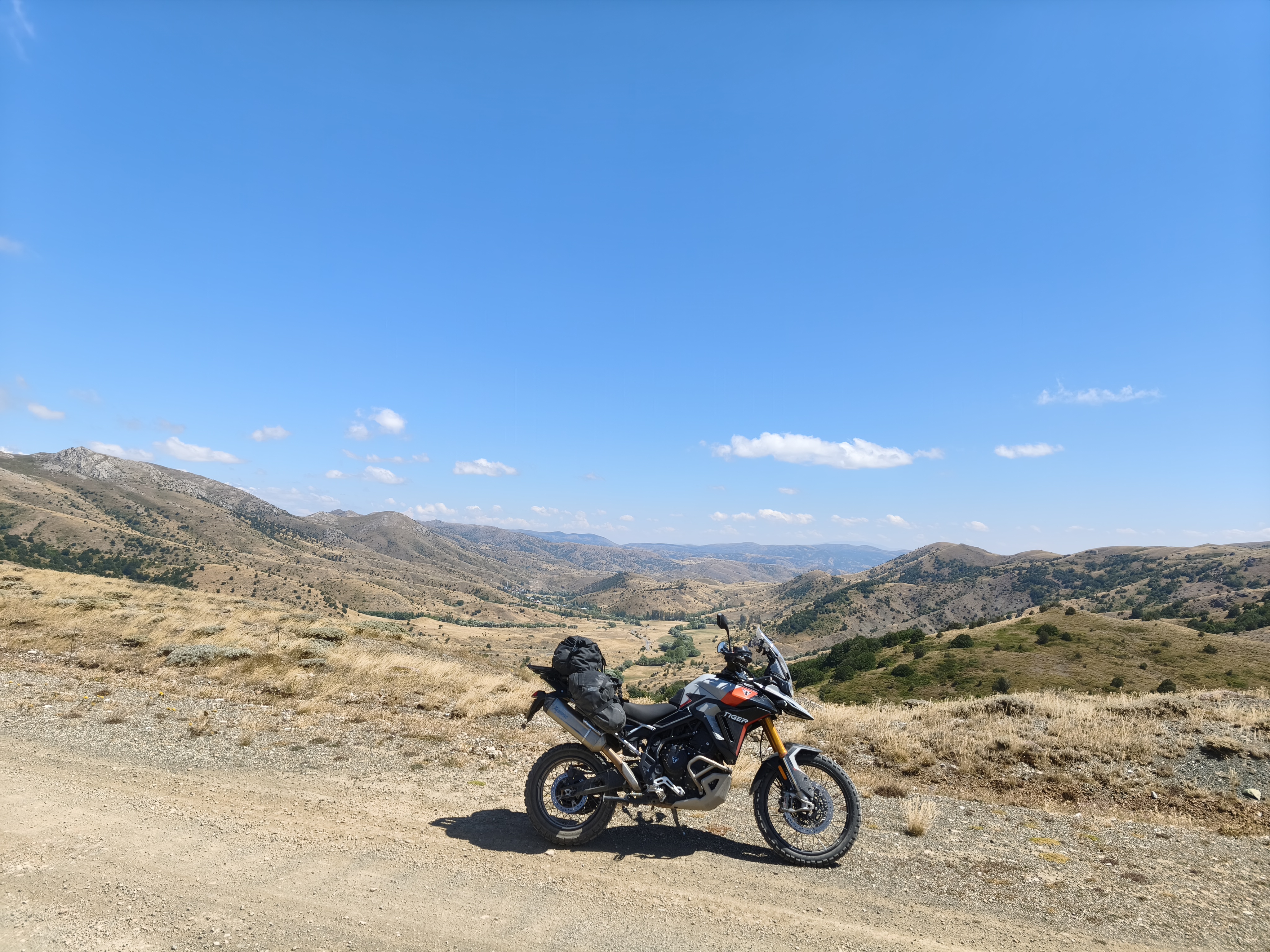
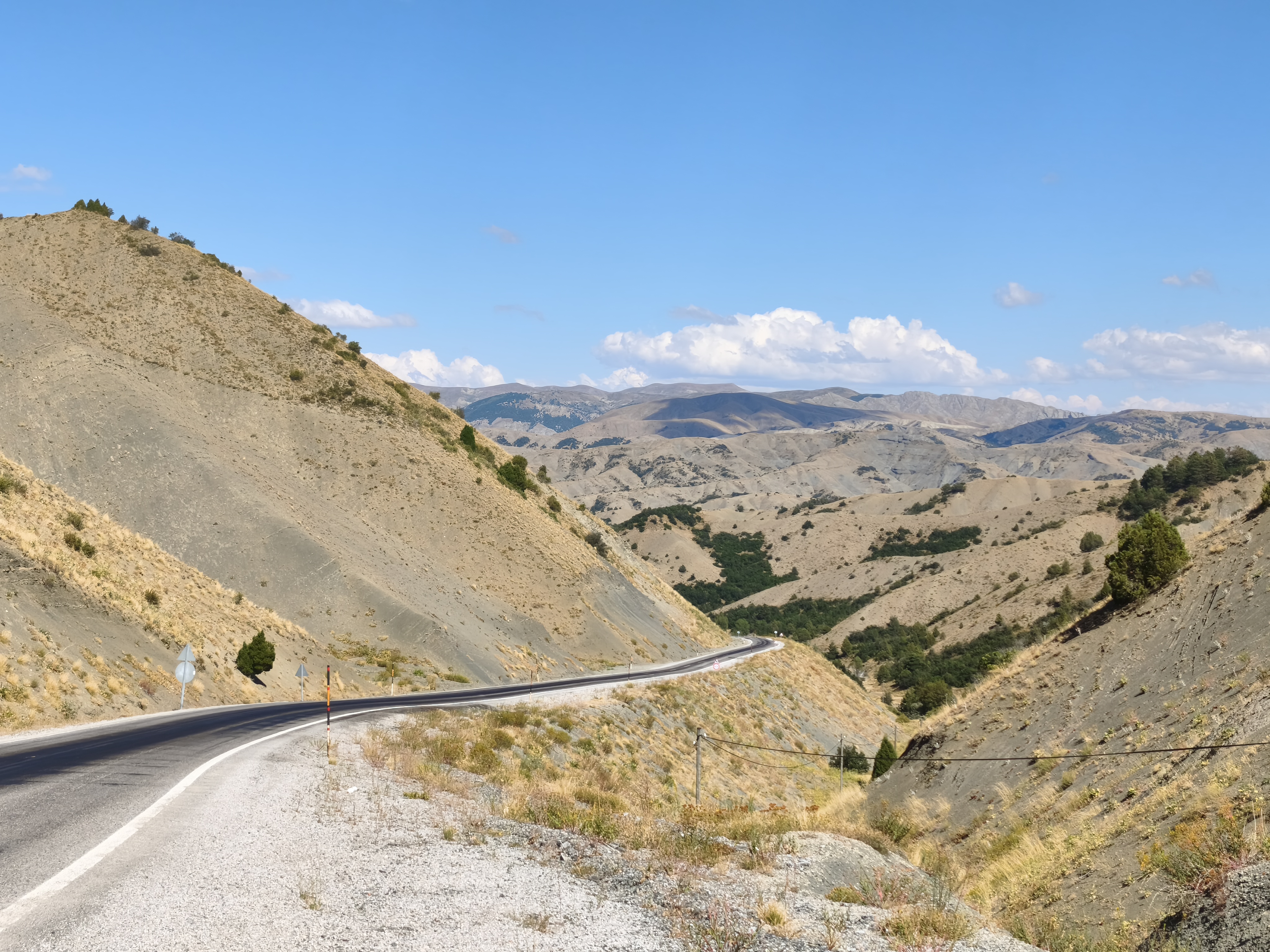
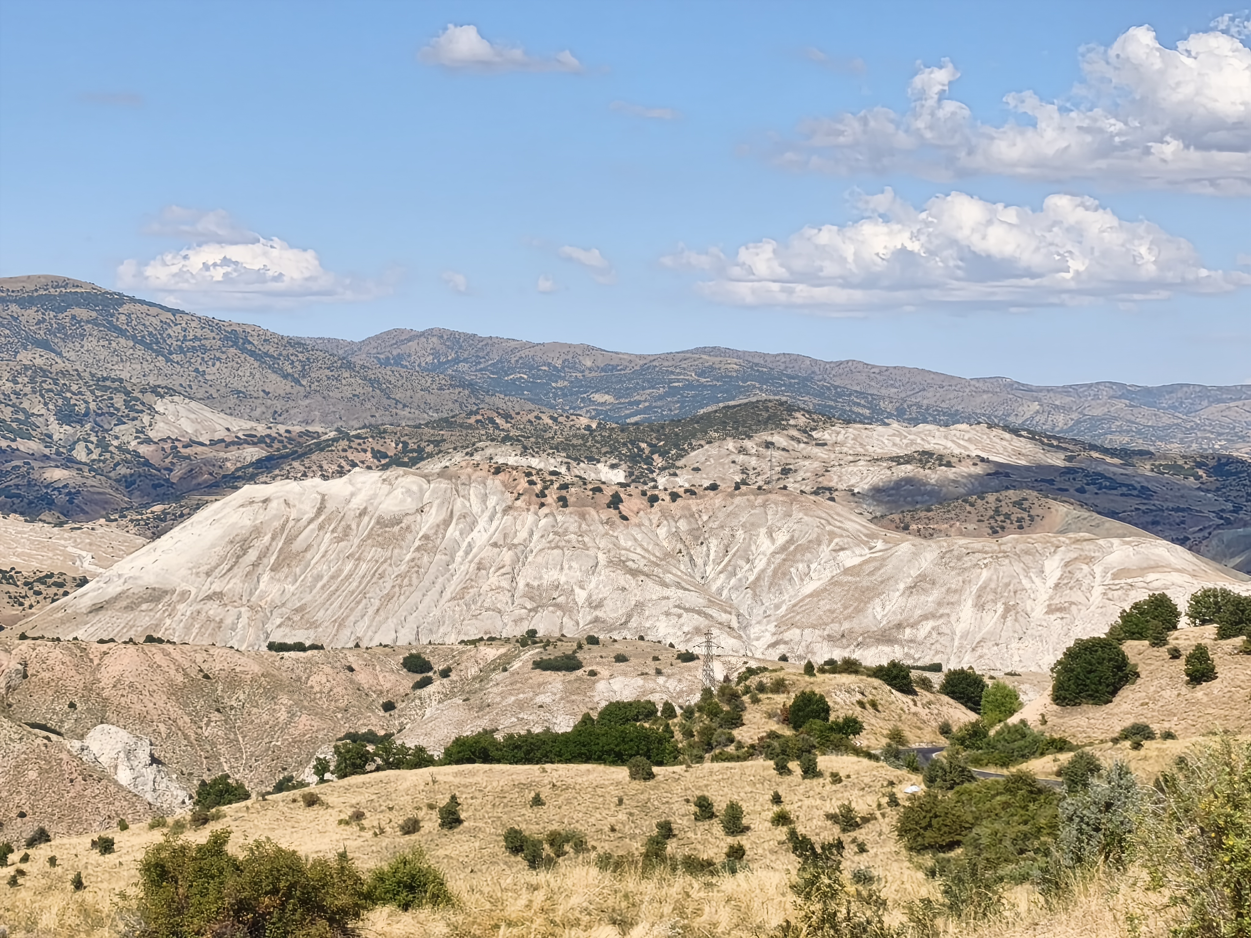
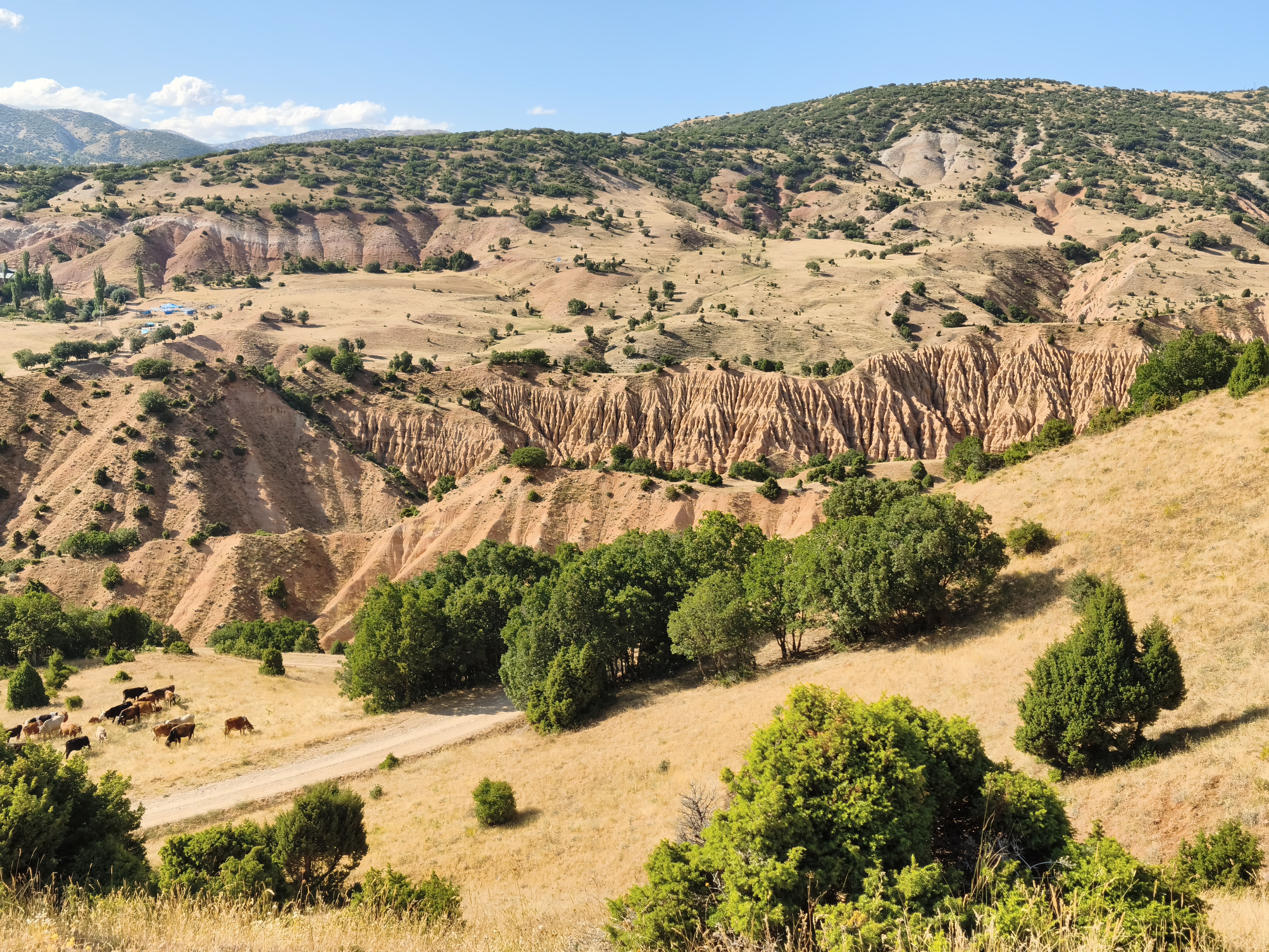
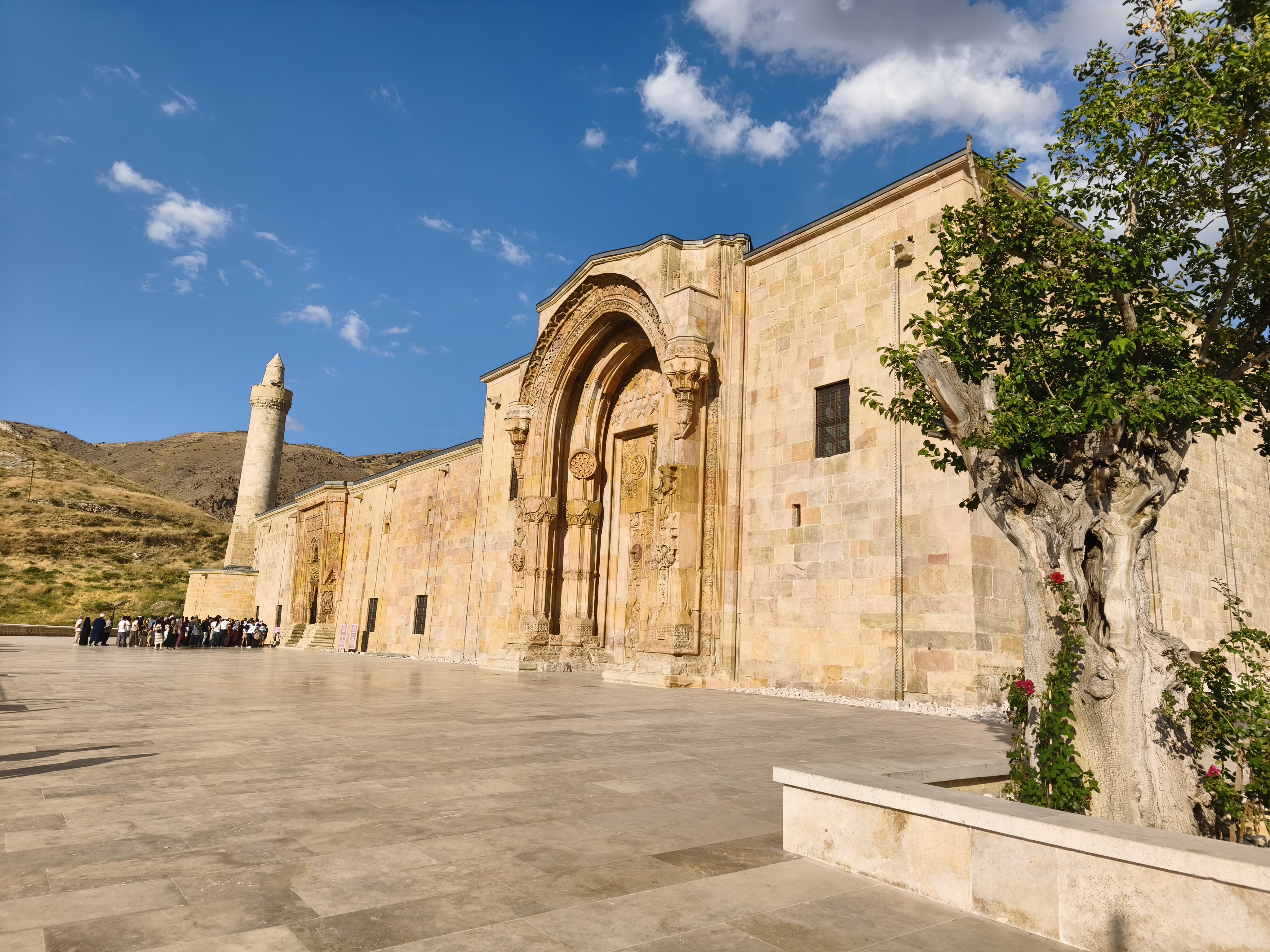
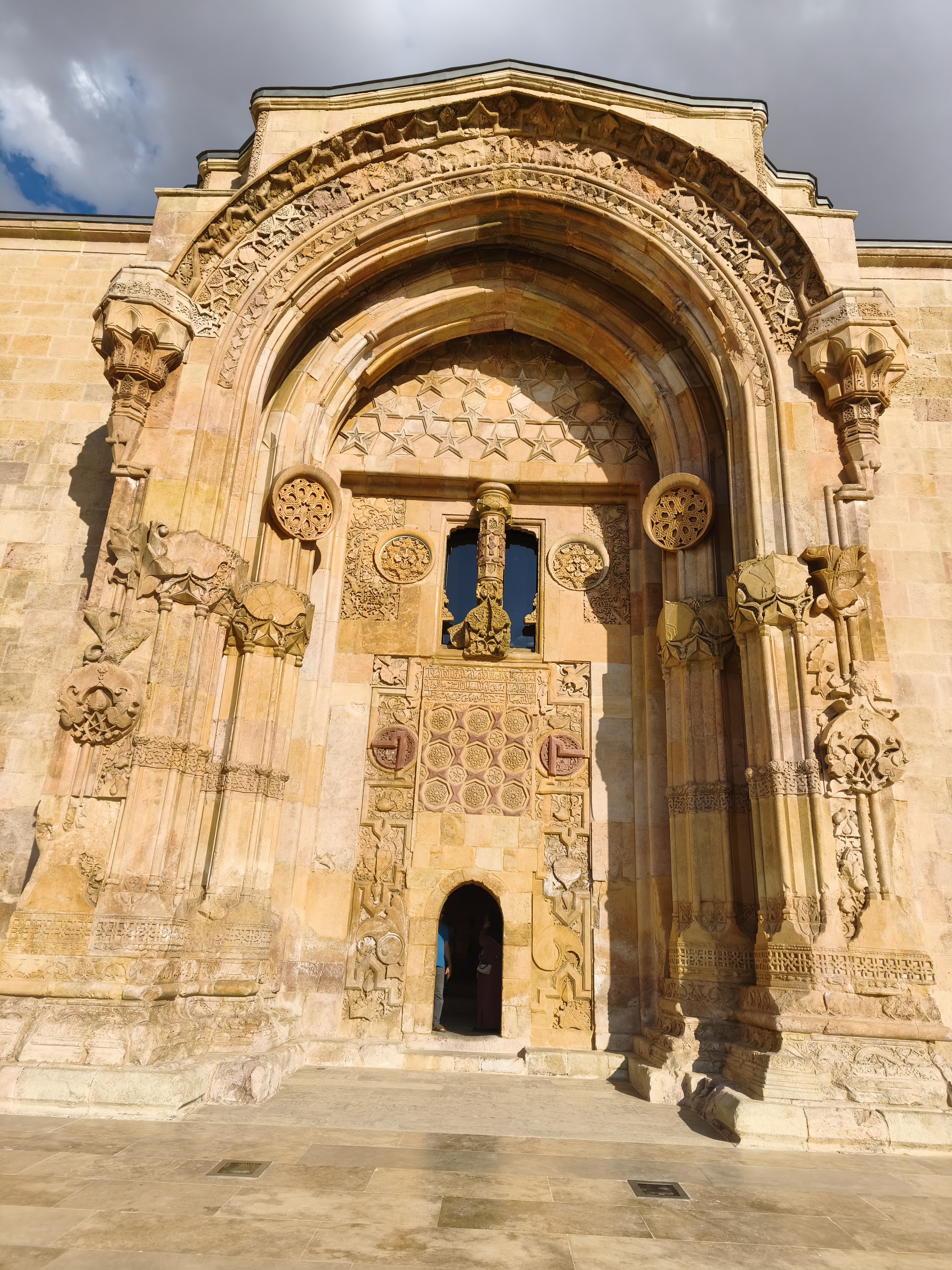
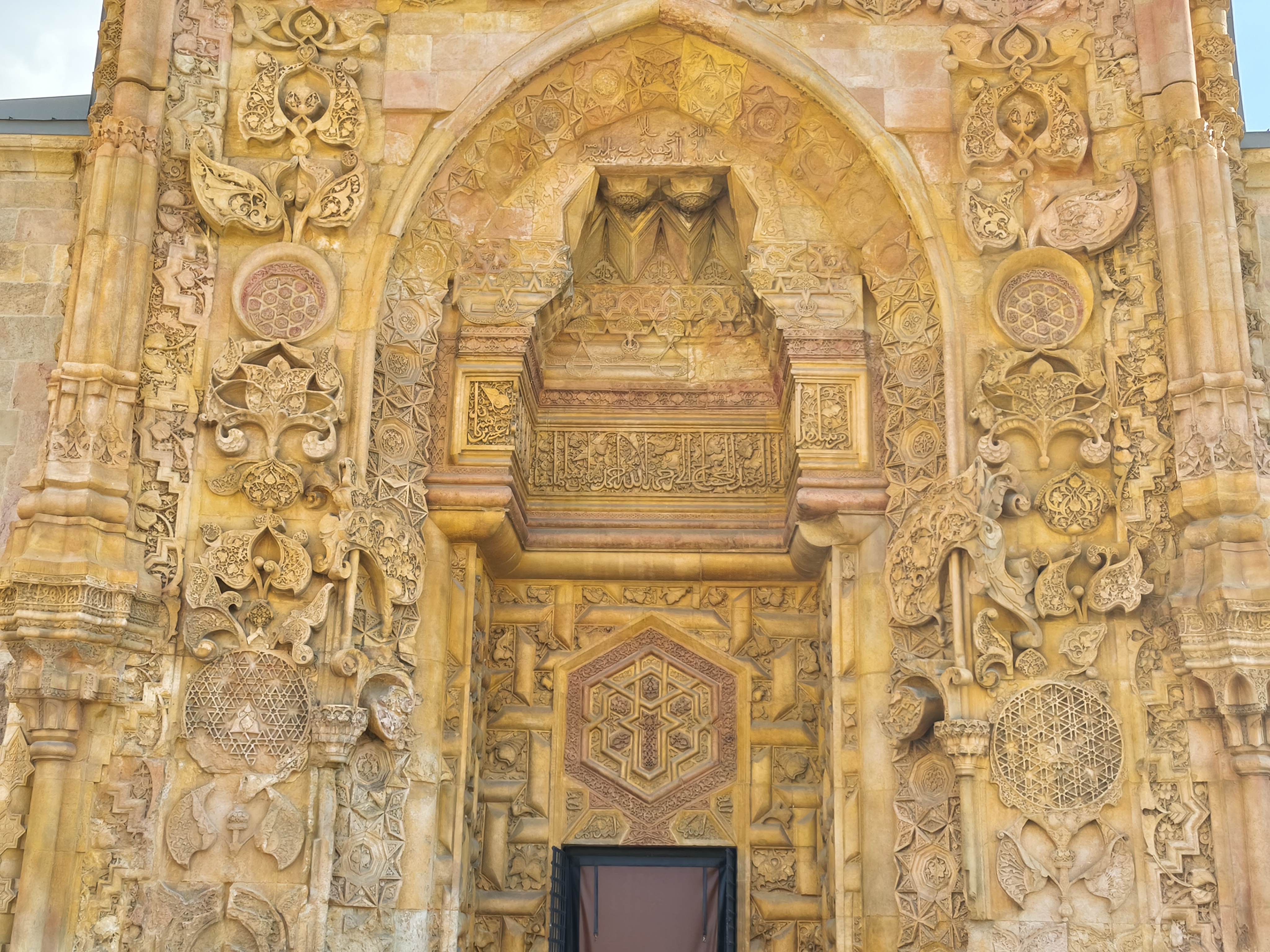
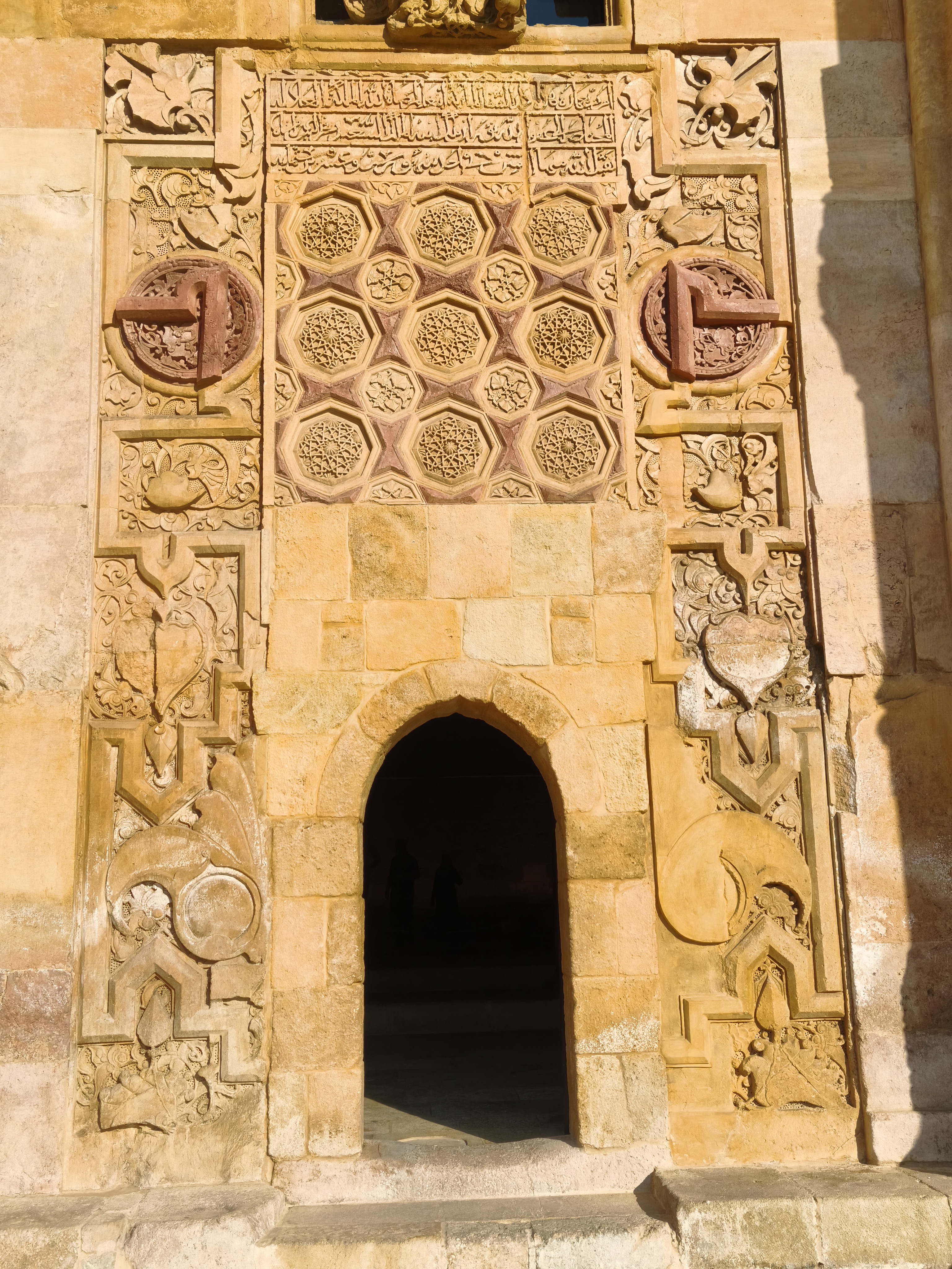
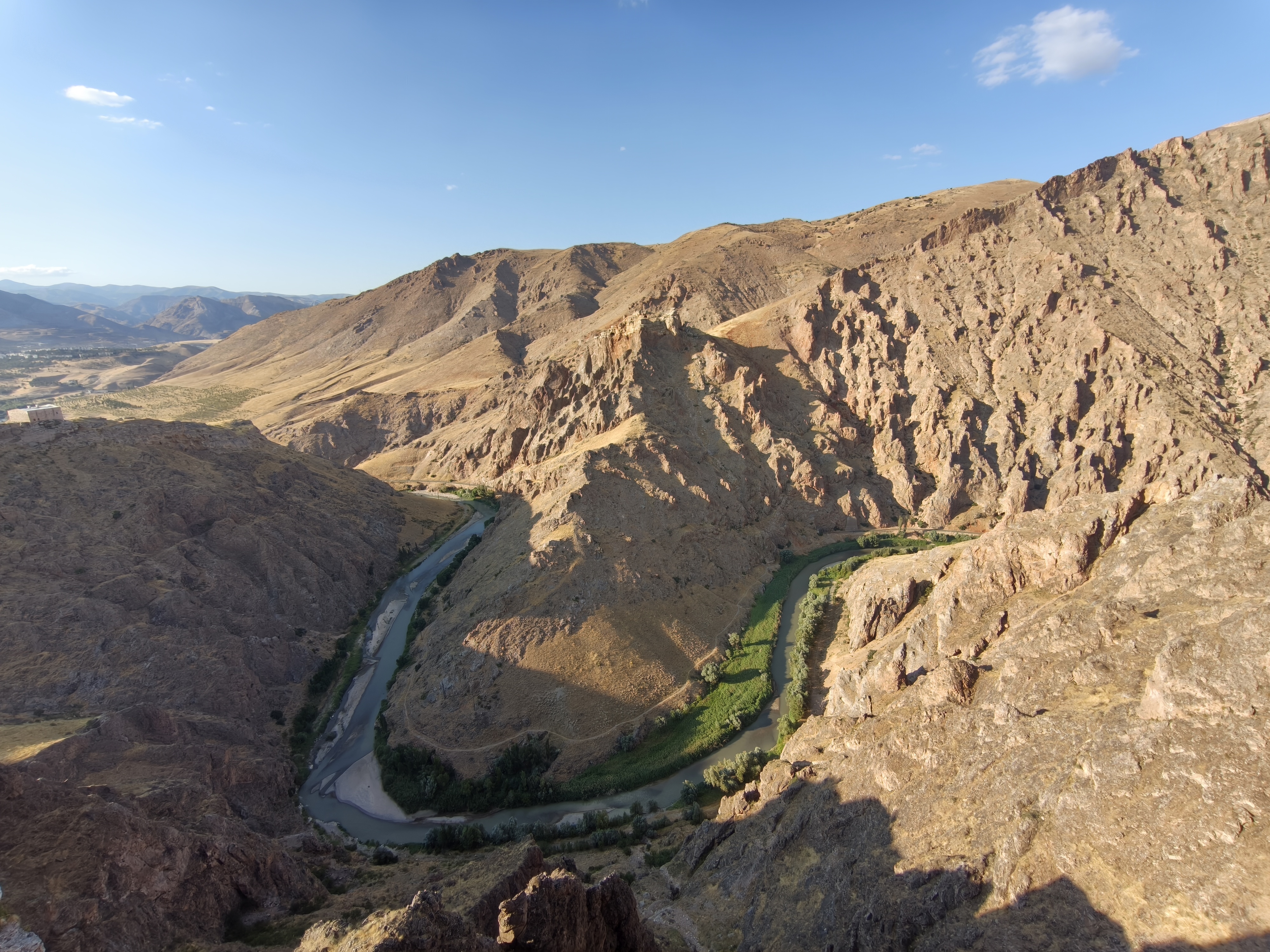
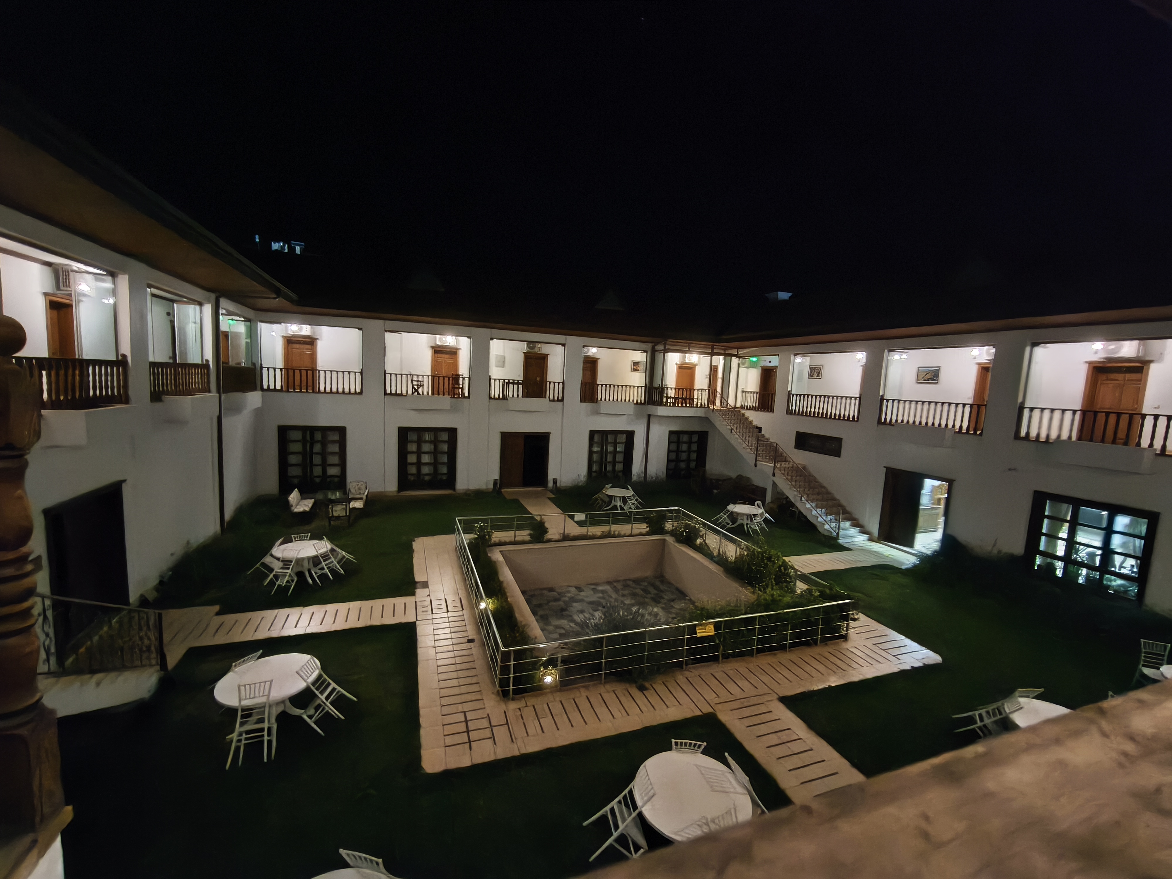
A day marked by striking geological contrasts. We start heading east through lush mountain passes and deep forests, spiced up with technical off-road tracks offering breathtaking panoramas. Then, pivoting south, the vegetation gives way to arid mountains with unique geological curiosities, through which many trails wind, trails that I took great pleasure in riding. Arrival in Divriği, an isolated town at the junction of these chaotic mountain ranges. Its Great Mosque (Ulu Camii), recently restored and listed as a UNESCO World Heritage site, is a masterpiece of Seljuk architecture, famous for its stone-carved portals with impressive relief work.
Une journée marquée par des contrastes géologiques saisissants. Nous débutons vers l’est à travers des cols montagneux verdoyants et des forêts profondes, pimentés de pistes techniques offrant des panoramas à couper le souffle. Puis, en piquant vers le sud, la végétation s’efface au profit de montagnes arides aux curiosités géologiques uniques au sein desquelles de nombreuses pistes serpentent, et que je me suis fait le plaisir d’emprunter. Arrivée à Divriği, bourgade isolée au croisement de ces massifs chaotiques. Sa Grande Mosquée (Ulu Camii), fraîchement restaurée et inscrite au patrimoine mondial de l’UNESCO, est un chef-d’œuvre de l’architecture seldjoukide, célèbre pour ses portails en pierre sculptée au relief impressionnant.
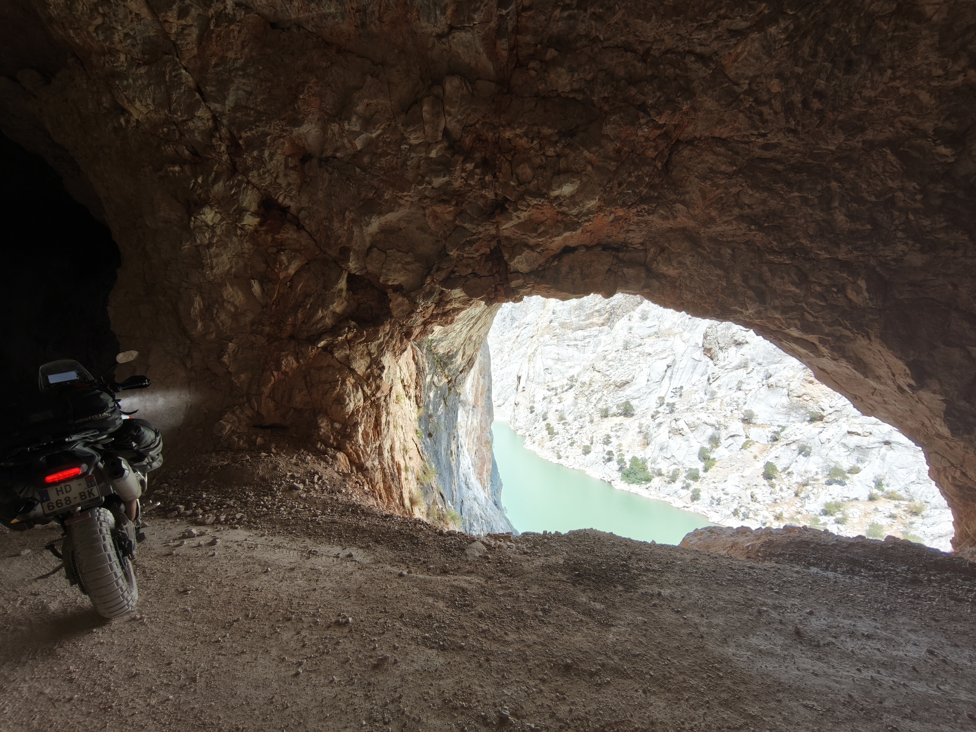
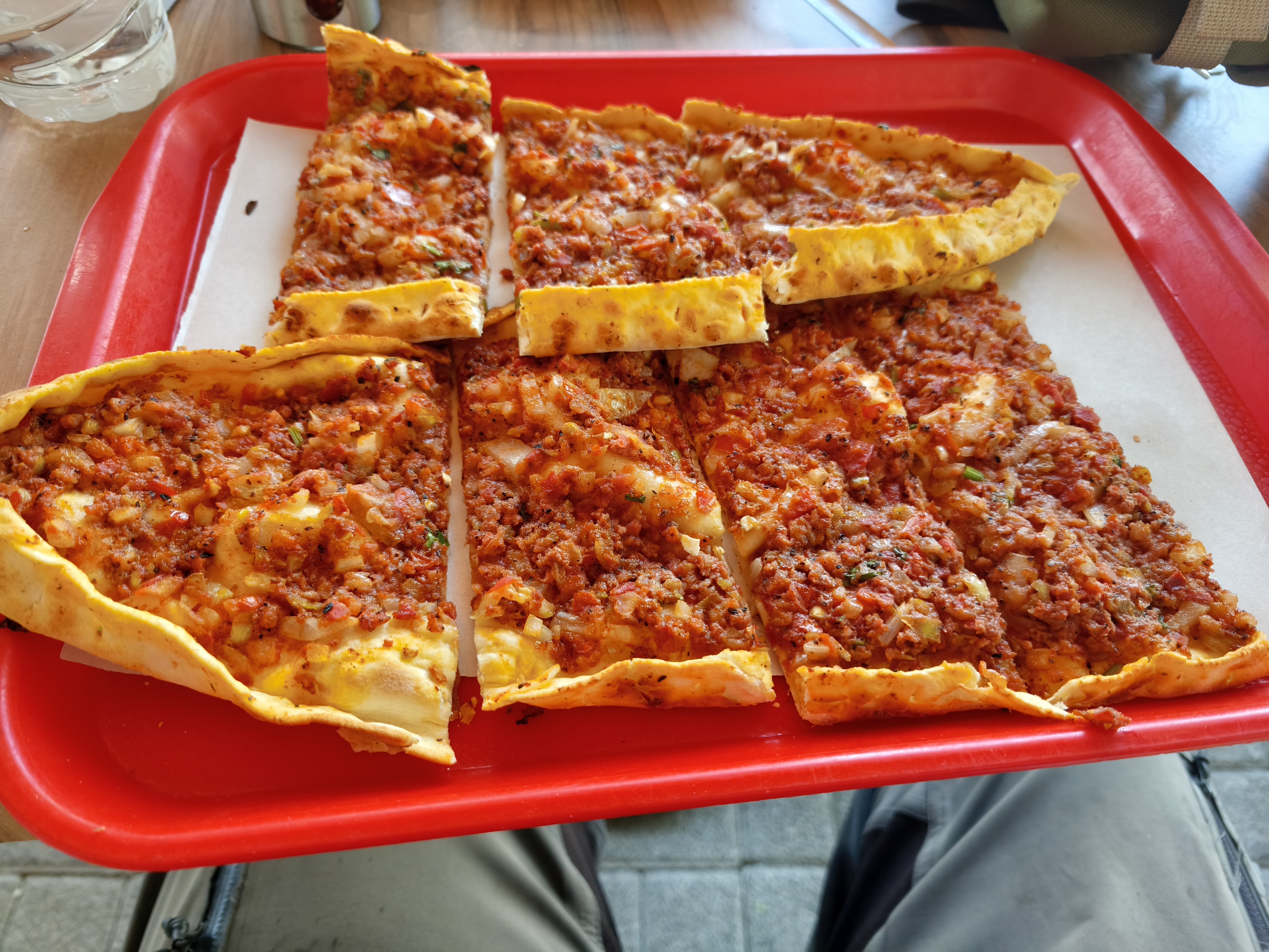
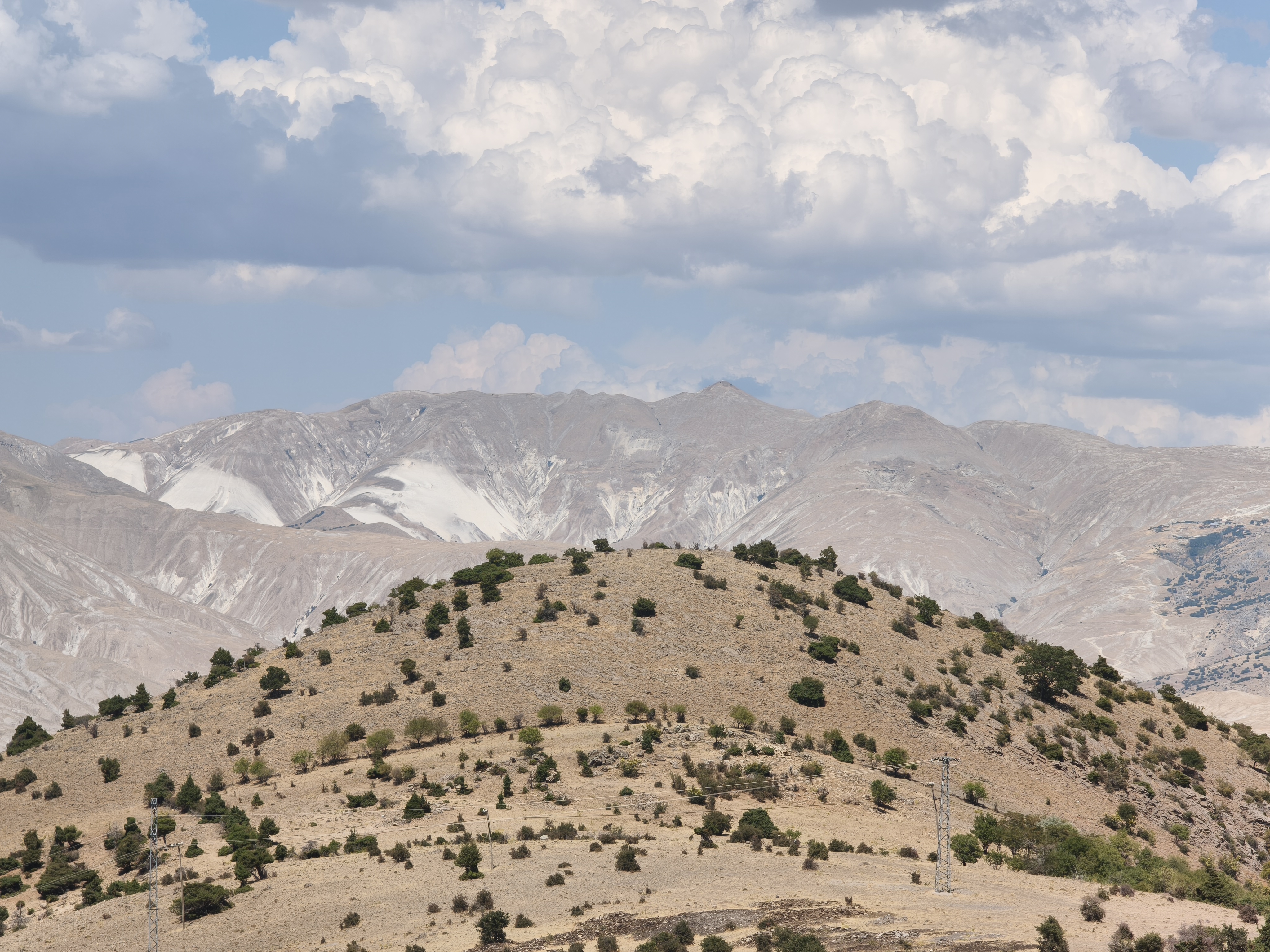
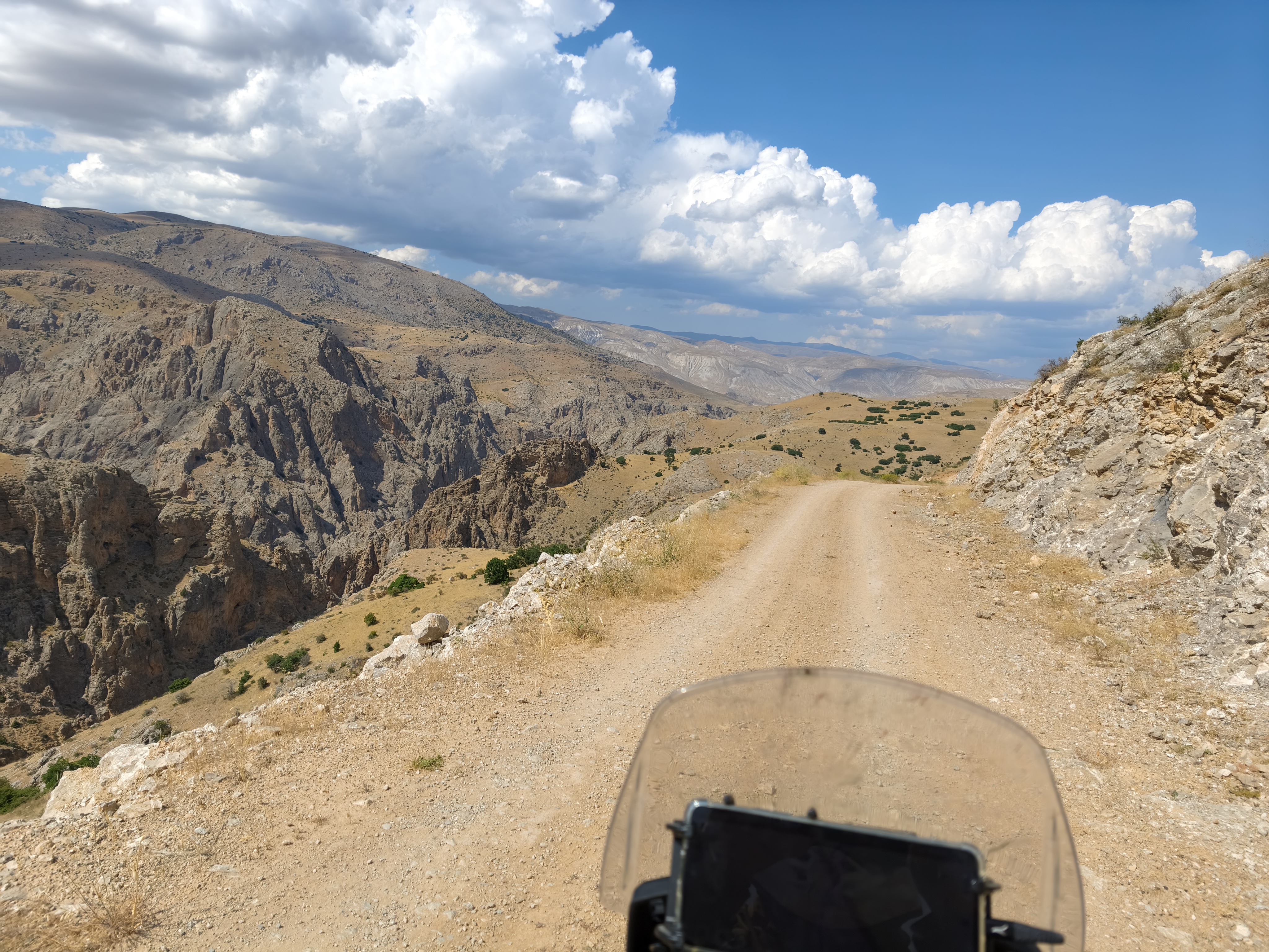
Day #11: Divriği – Erzincan (The « Xtrem » Day). Distance: 335 km (167 km Road / 168 km Off-road track – 50% Off-road)
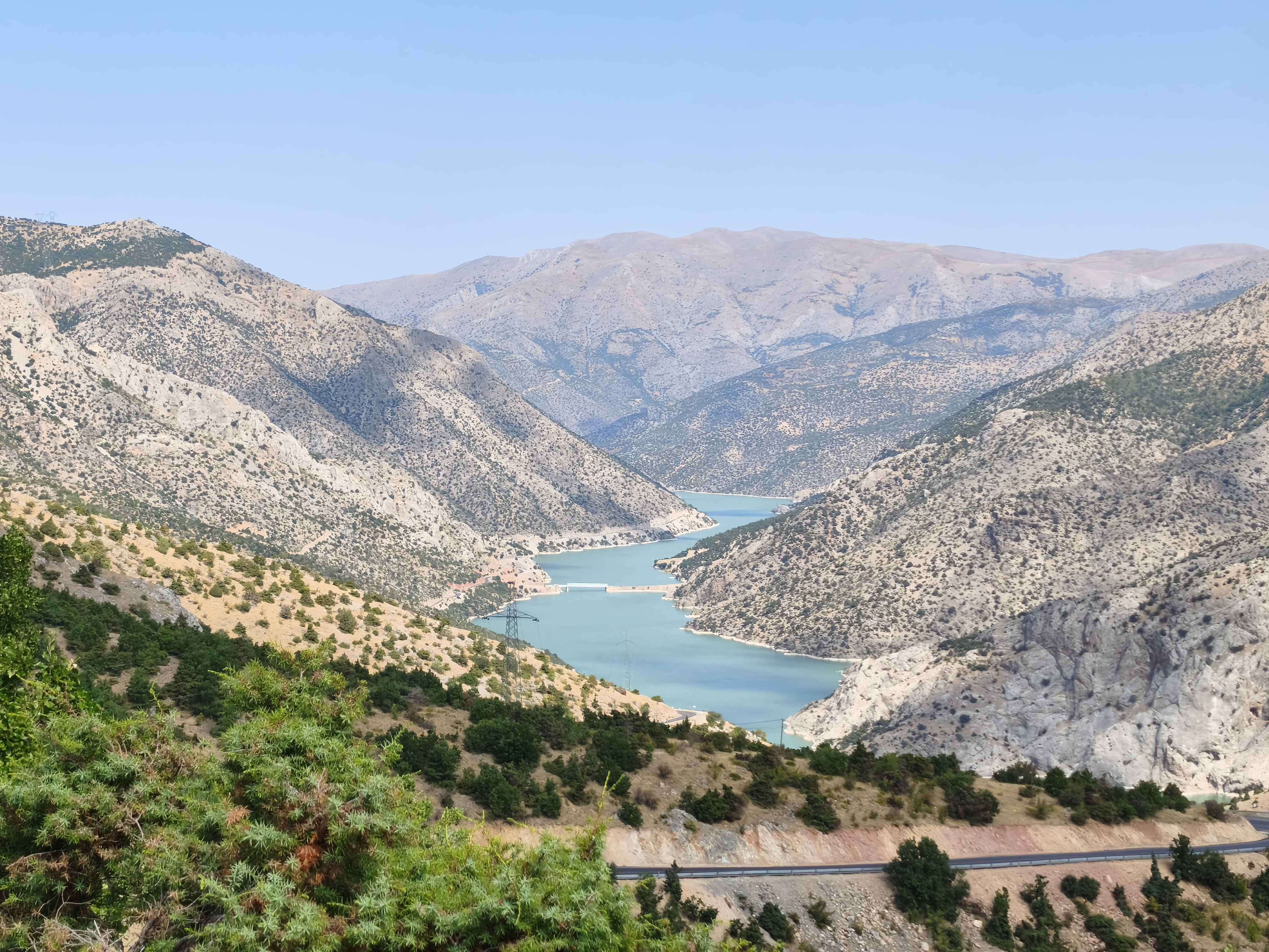
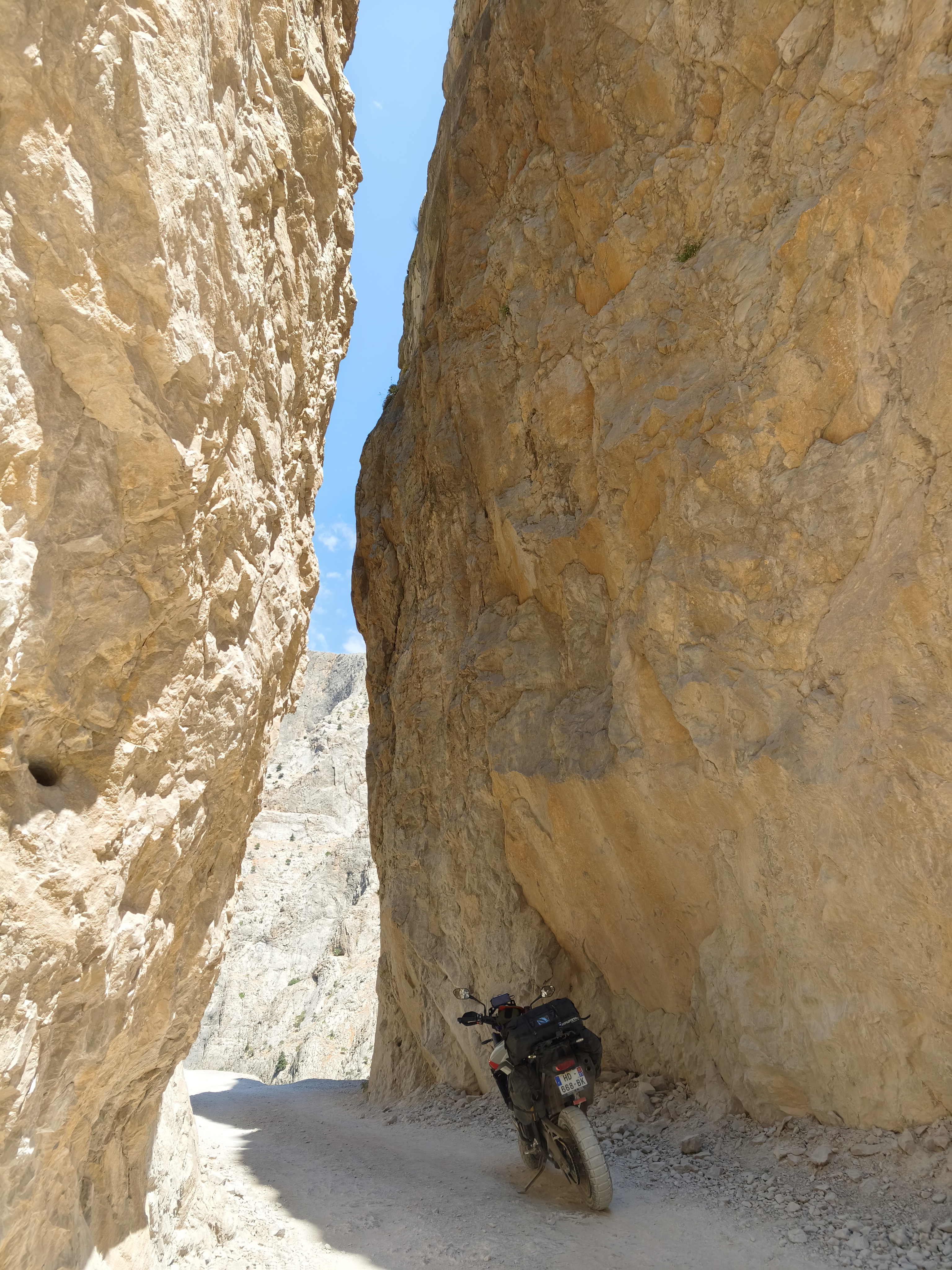
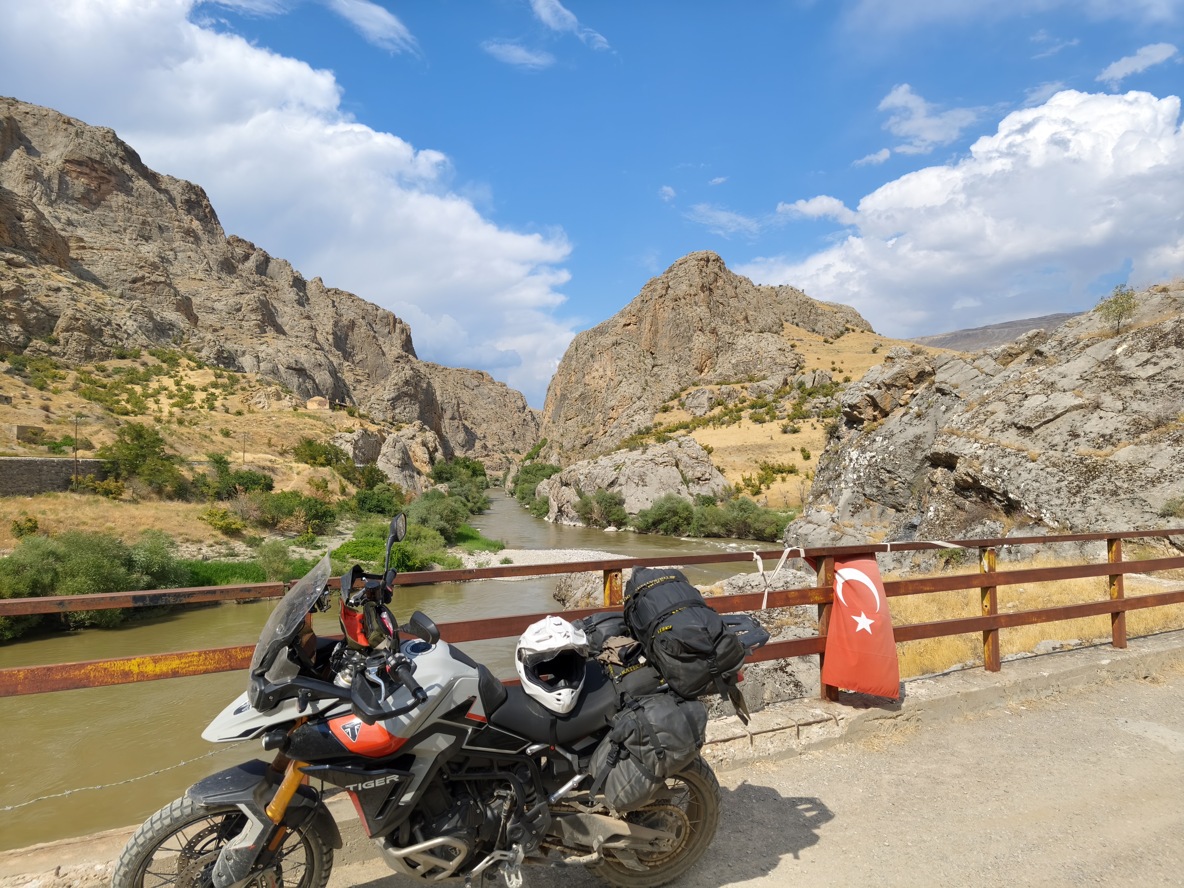
Fewer kilometers on the clock, but far more hours in the saddle. A day dedicated to adrenaline and technical riding.
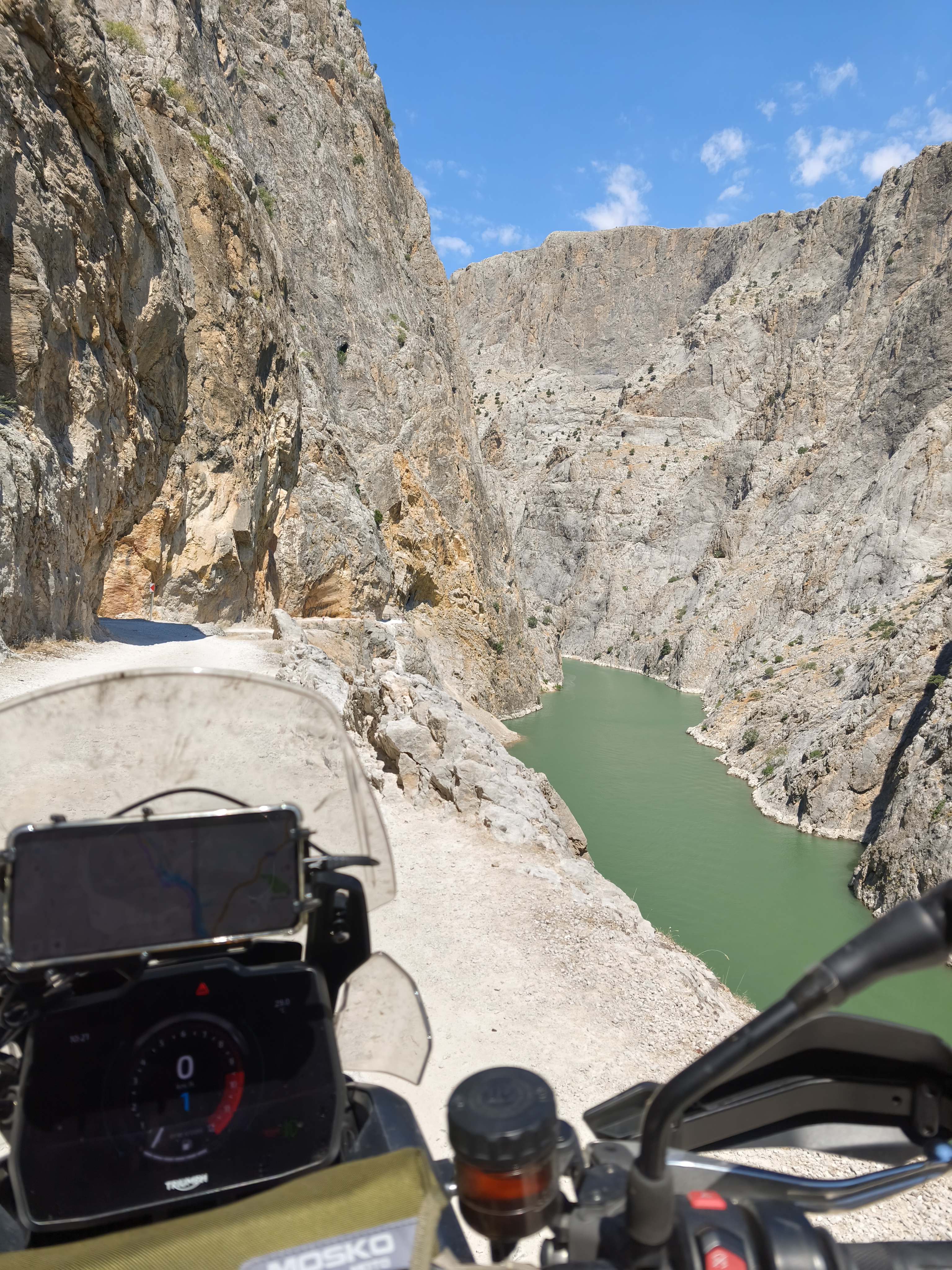
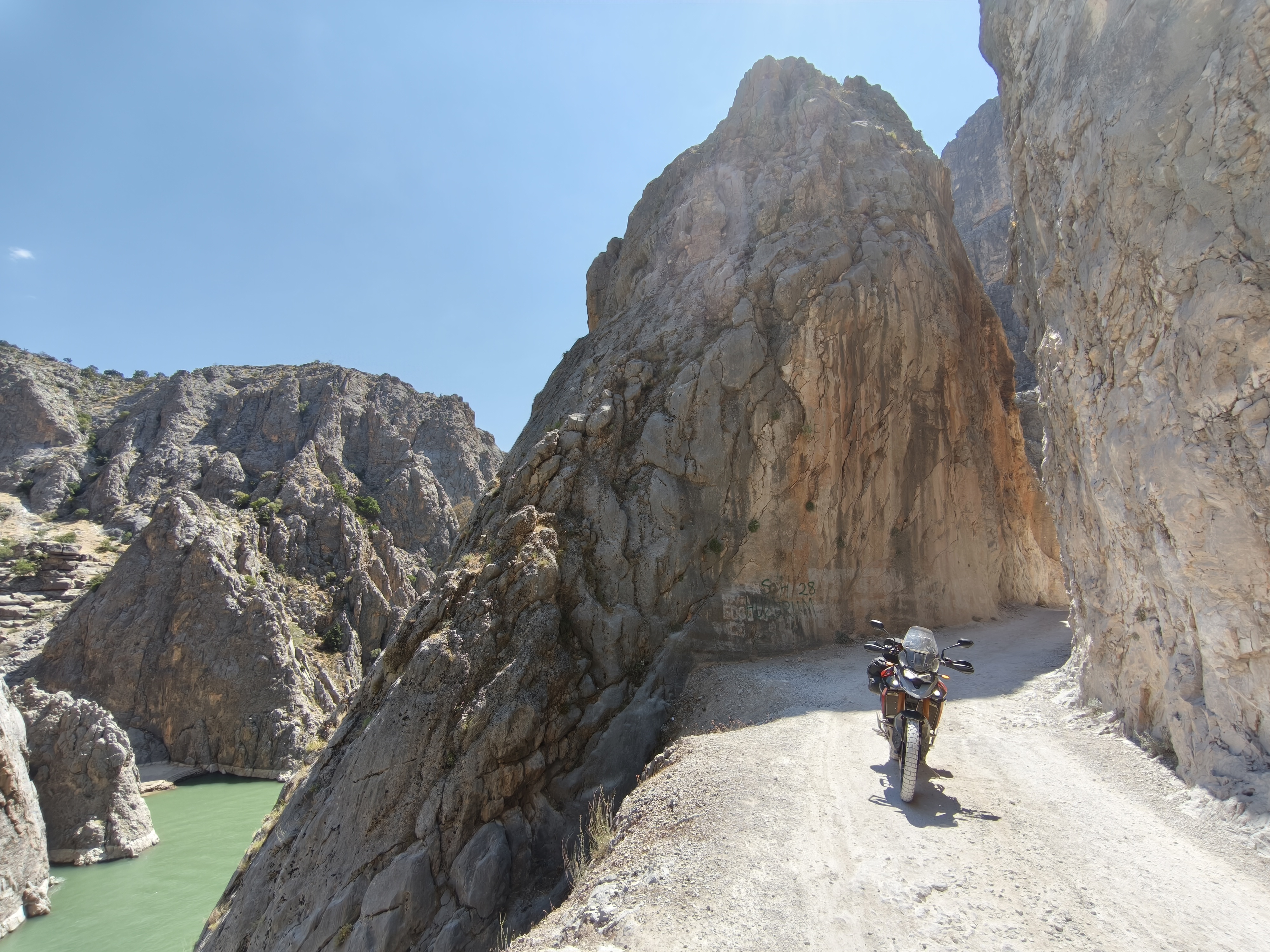
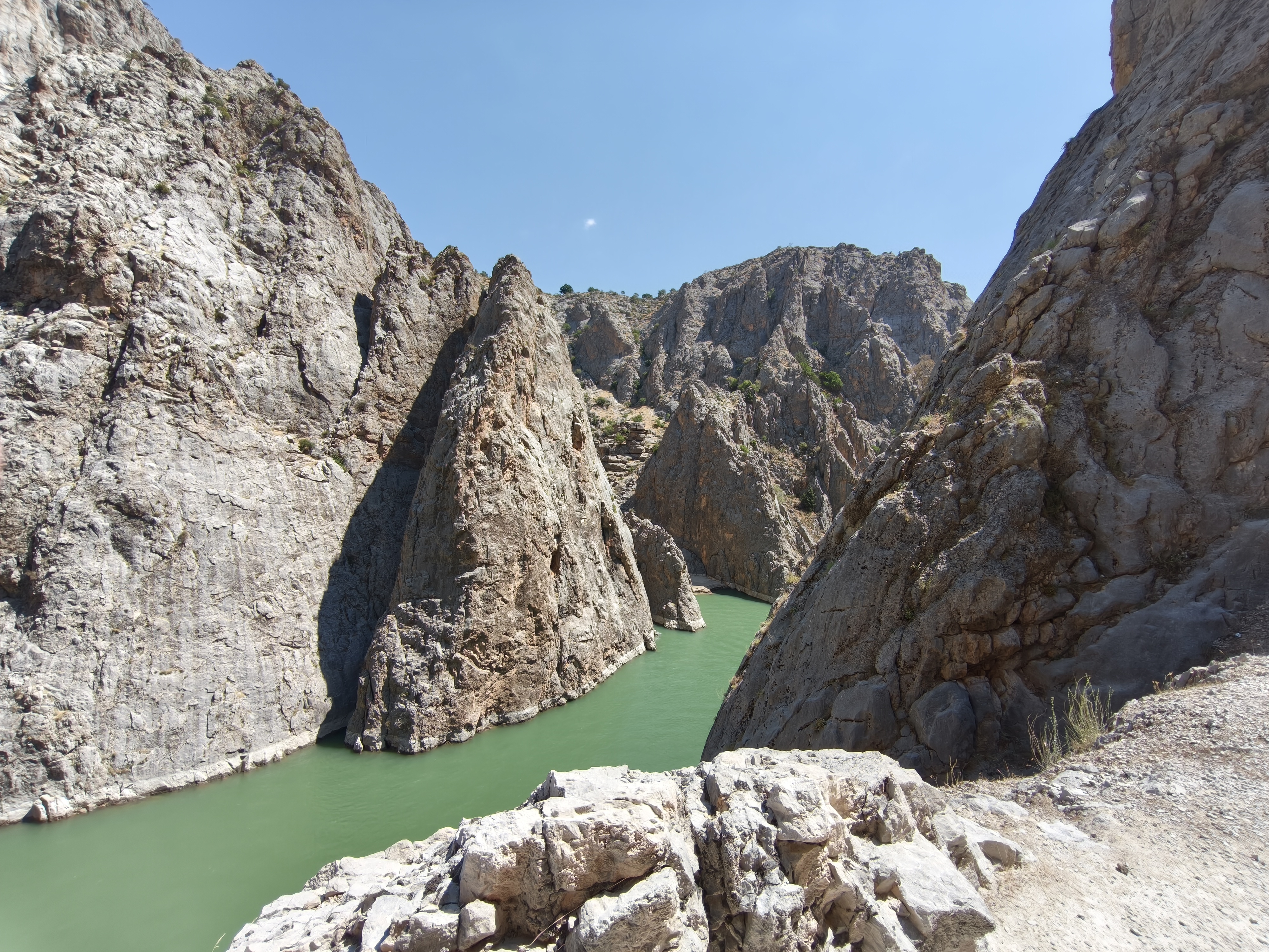
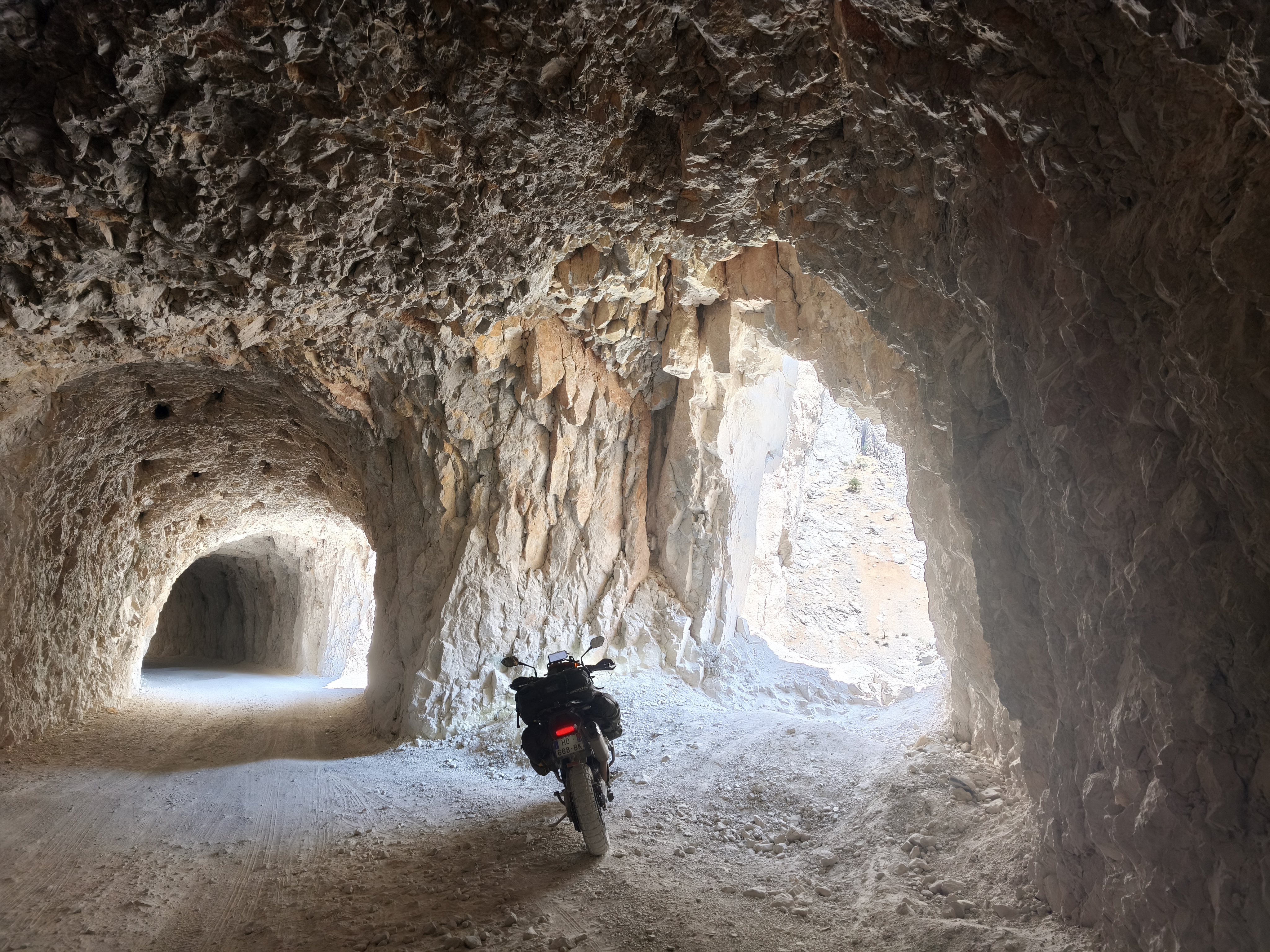
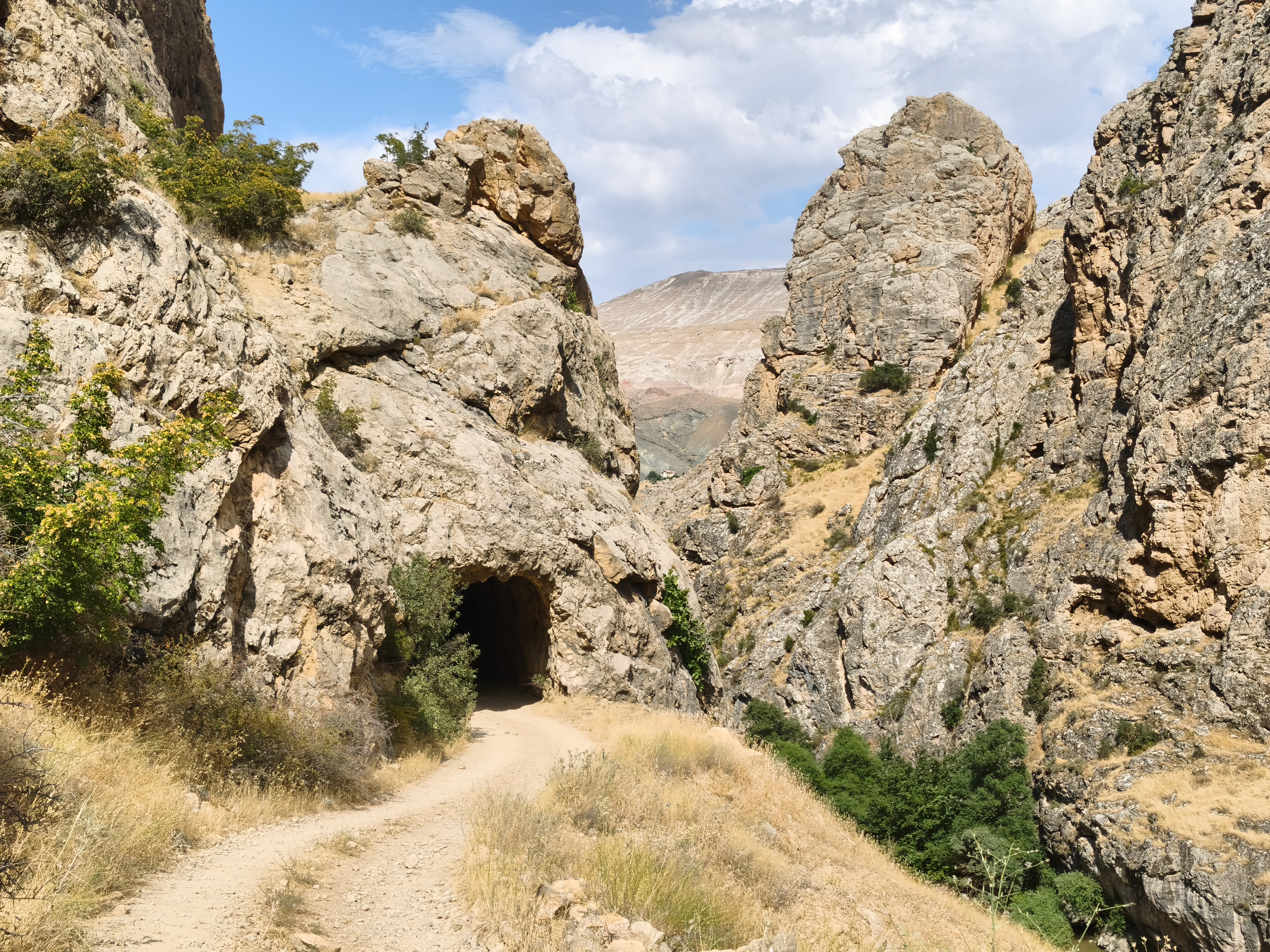
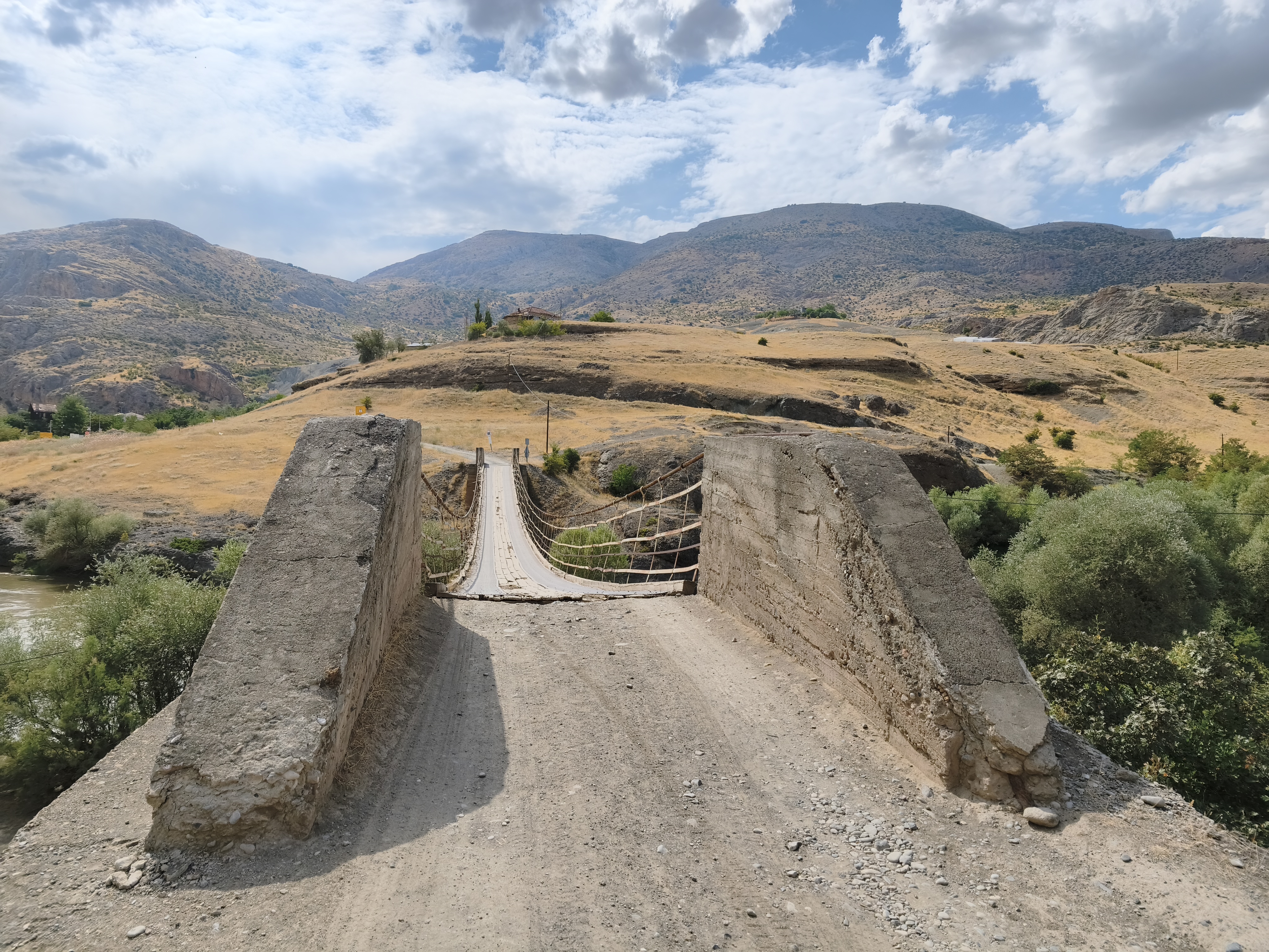
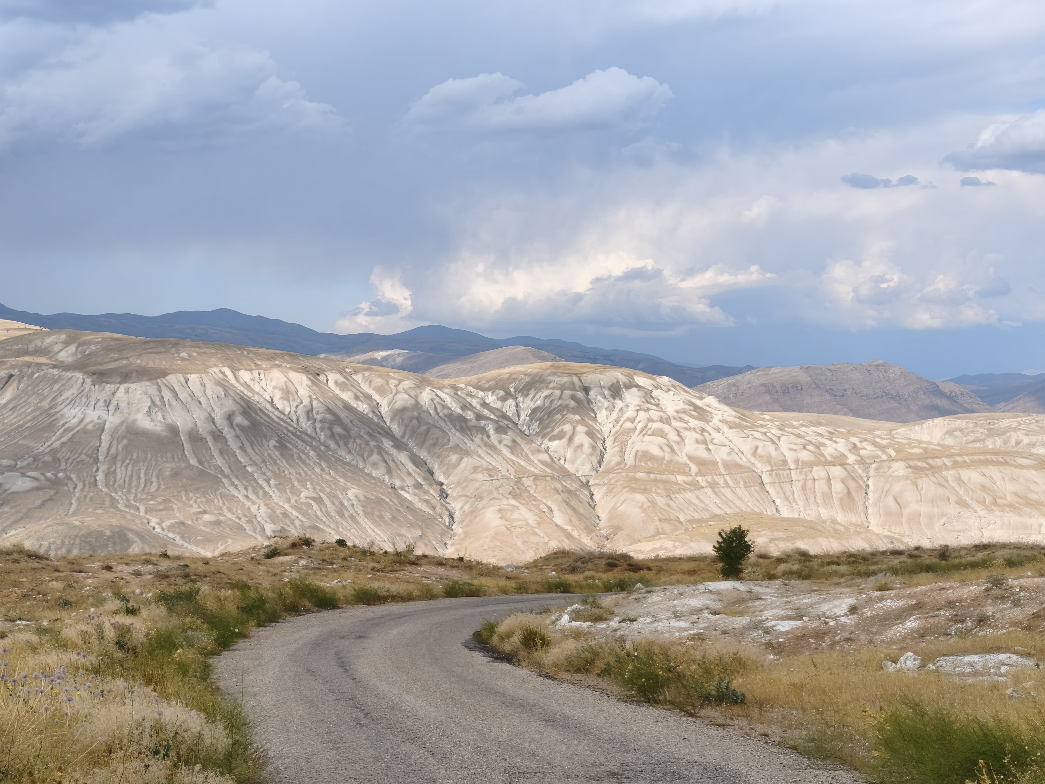
The main event of the day: the legendary Dark Canyon (Karanlık Kanyon). A dizzying 10 km track carved directly into the sheer cliff face, alternating between open-air sections over vertical drops and raw tunnels pierced with natural rock windows overlooking the canyon. Hand-carved with picks and hammers by villagers over 130 years and opened only 25 years ago, this route demands solid off-road experience and a complete absence of vertigo. Unforgettable! The afternoon continued on high-mountain tracks along the impressive Euphrates Canyon, where the Turks managed to carve out a railway line and remarkable small stations, such as Güllübağ. Late arrival in Erzincan, a large, very conservative city—a necessary and largely uninteresting stop, but unavoidable for transitioning from the mountains of Central Anatolia to those of Eastern Anatolia.
Moins de kilomètres au compteur, mais beaucoup plus d’heures en selle. Une journée dédiée à l’adrénaline et au pilotage technique.
L’évènement du jour : le mythique Dark Canyon (Karanlık Kanyon). Une piste vertigineuse de 10 km taillée directement dans la paroi rocheuse, alternant passages à ciel ouvert au-dessus du vide et tunnels bruts percés de fenêtres naturelles sur le canyon. Taillée à la pioche par les villageois pendant 130 ans et ouverte il y a seulement 25 ans, cette trace demande une solide expérience off-road et une absence totale de vertige. Inoubliable ! L’après-midi s’est poursuivie sur des pistes de haute montagne et l’impression canyon de l’Euphrates où les turques réussirent à y creuser une ligne de chemin de fer, et de remarquables petites gares, telle celle de Güllübag. Arrivée tardive à Erzincan, grande ville très conservatrice, étape nécessaire sans grand intérêt mais incontournable pour passer des montages d’Anatolie Centrale vers celles de l’Anatolie Orientale.
Day #12: Erzincan – Bayburt (The challenging D915). Distance: 330 km (132 km Road / 198 km Off-road track – 60% Off-road)
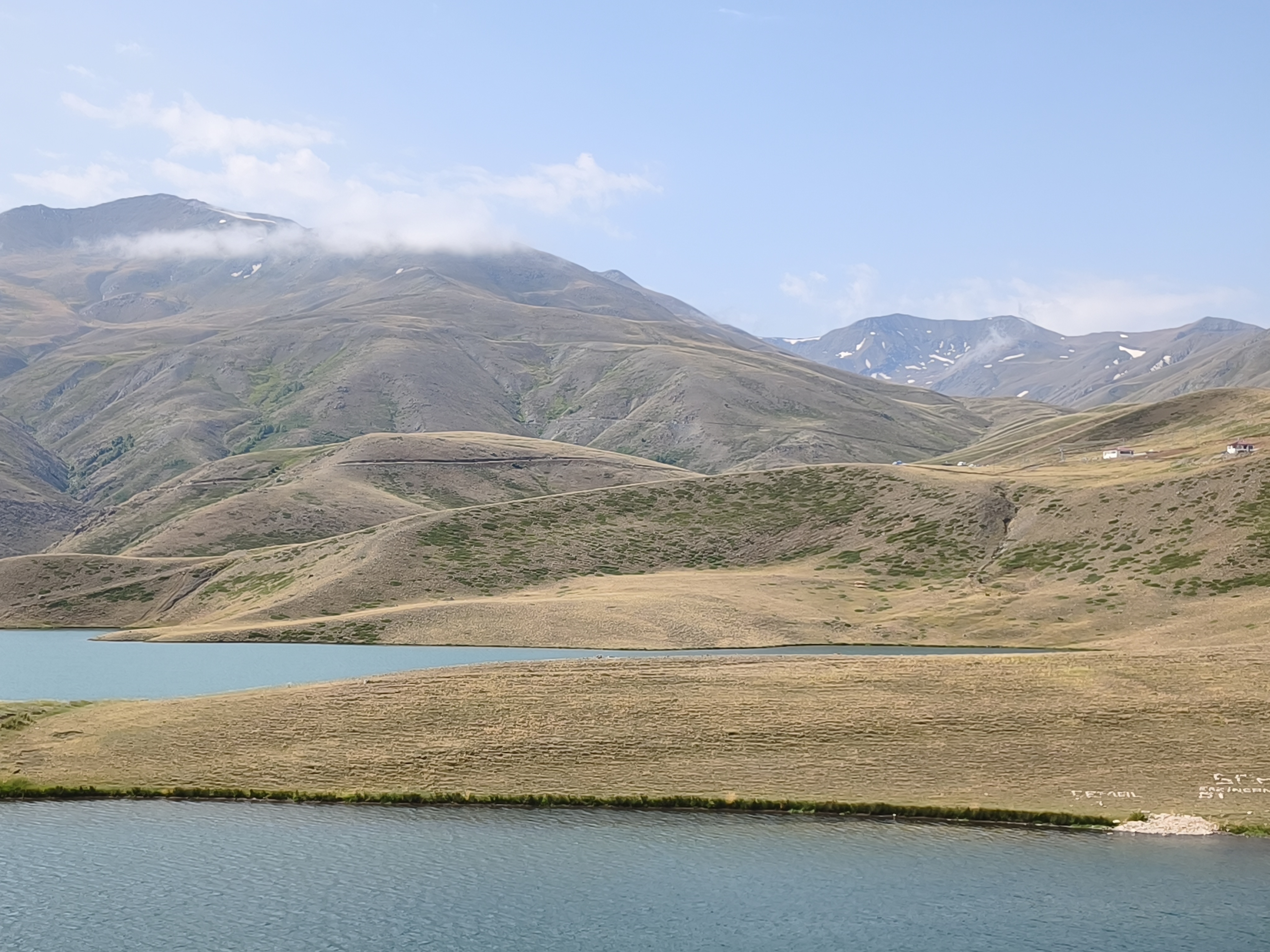
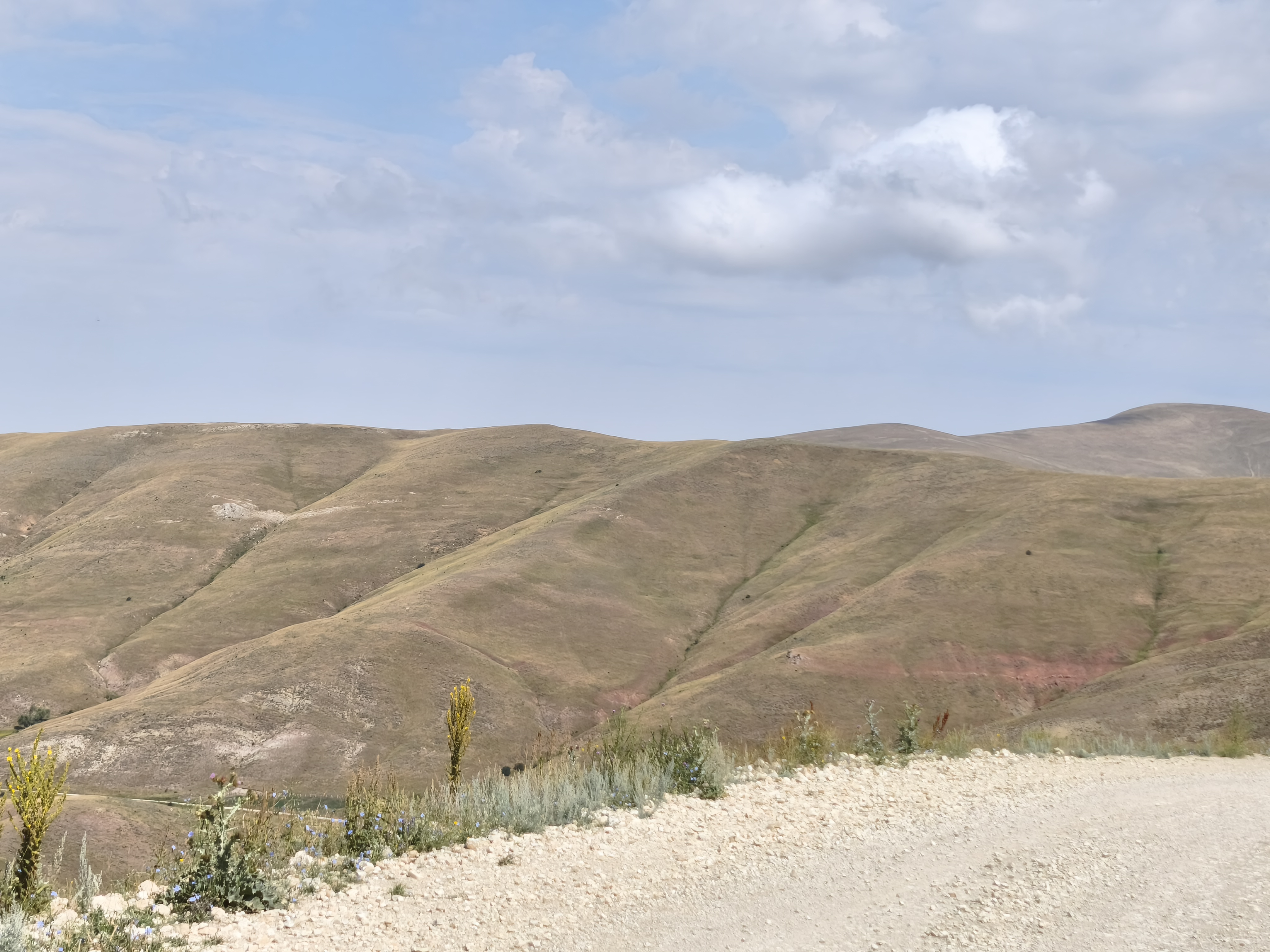
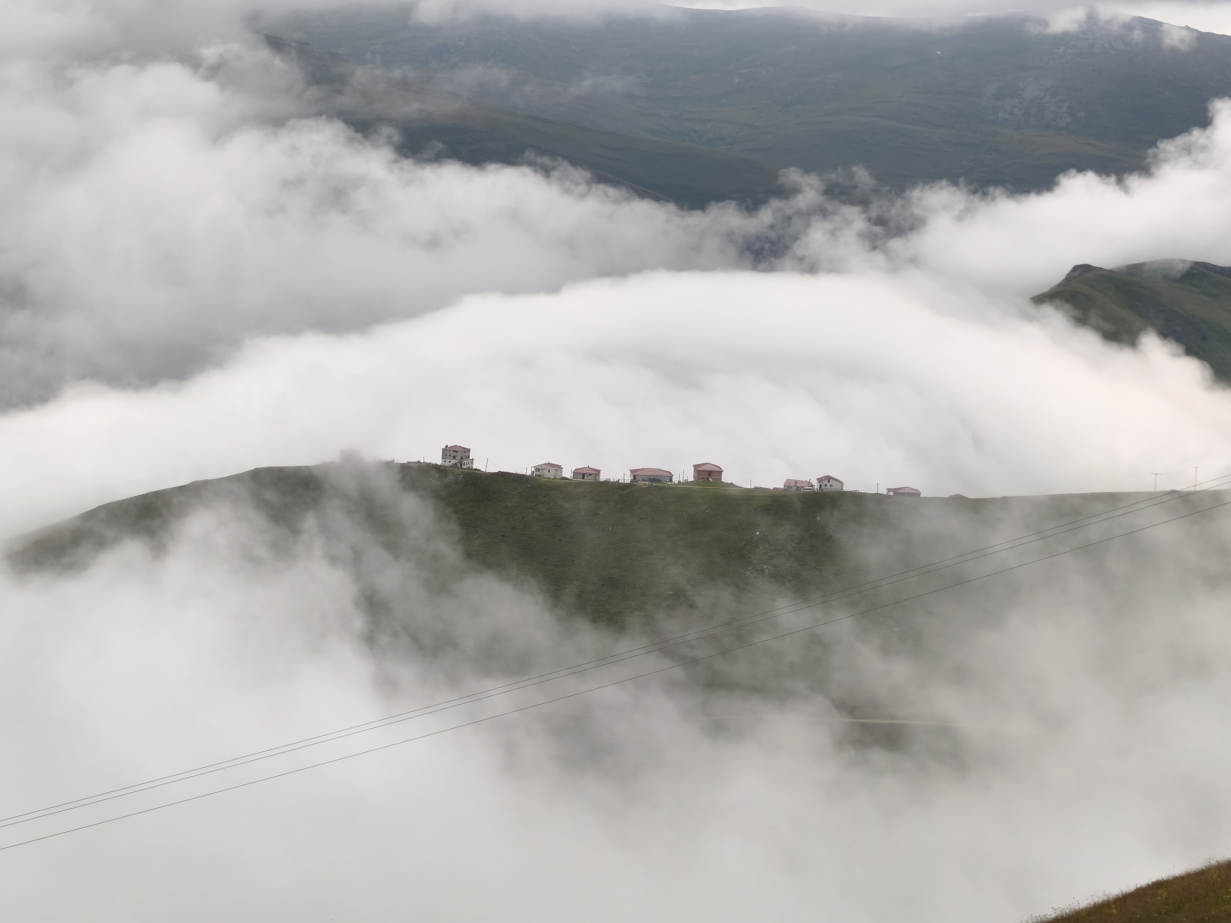
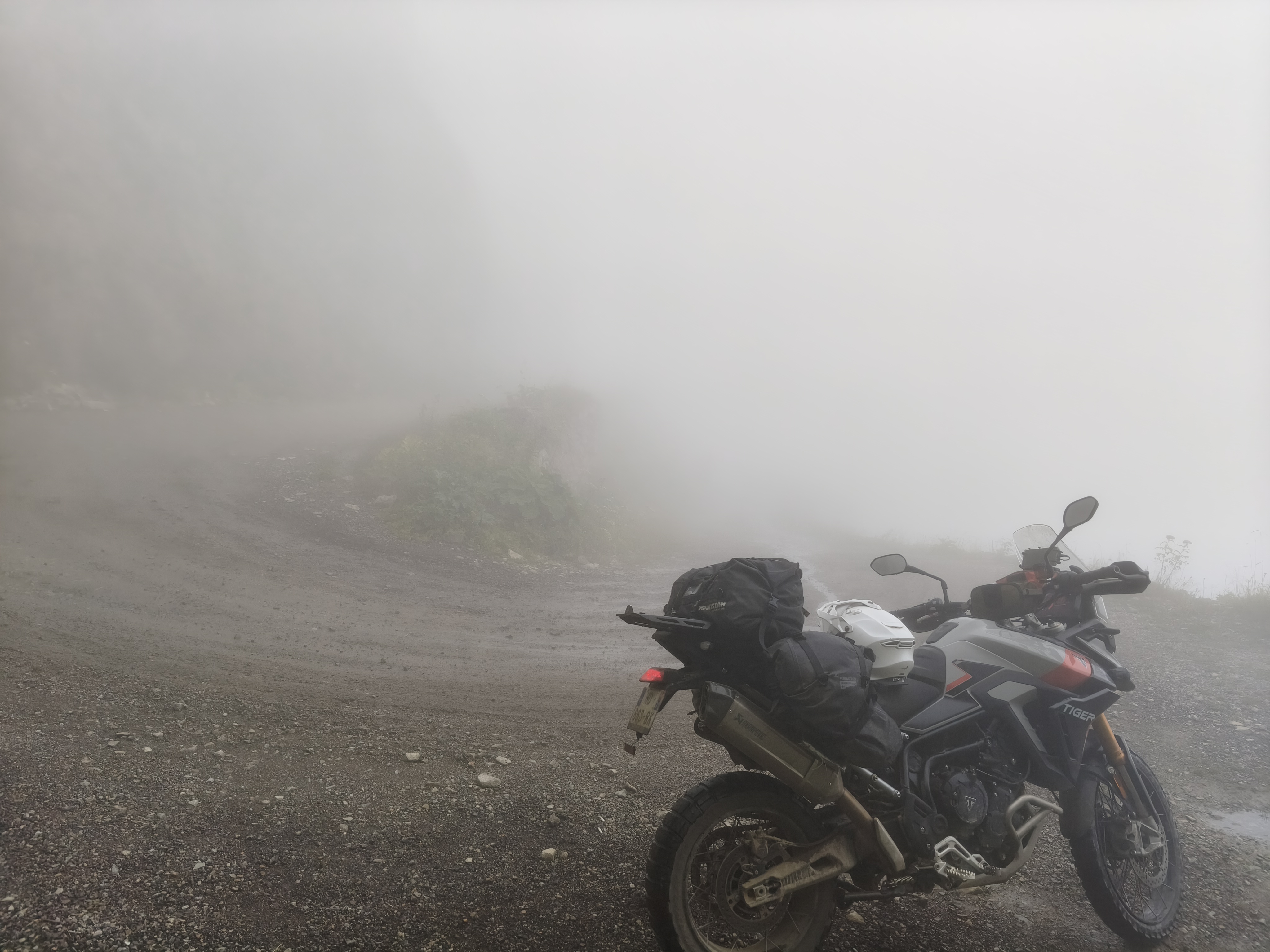
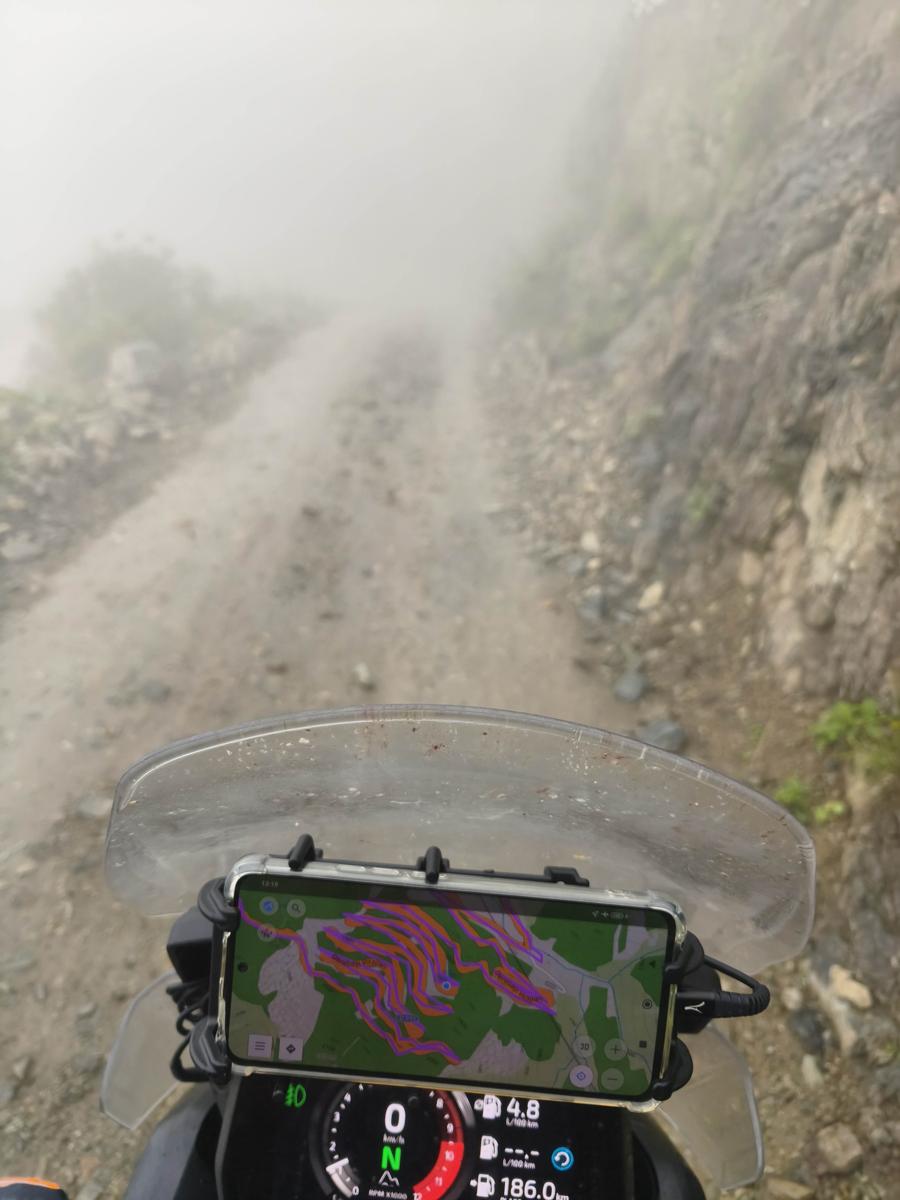
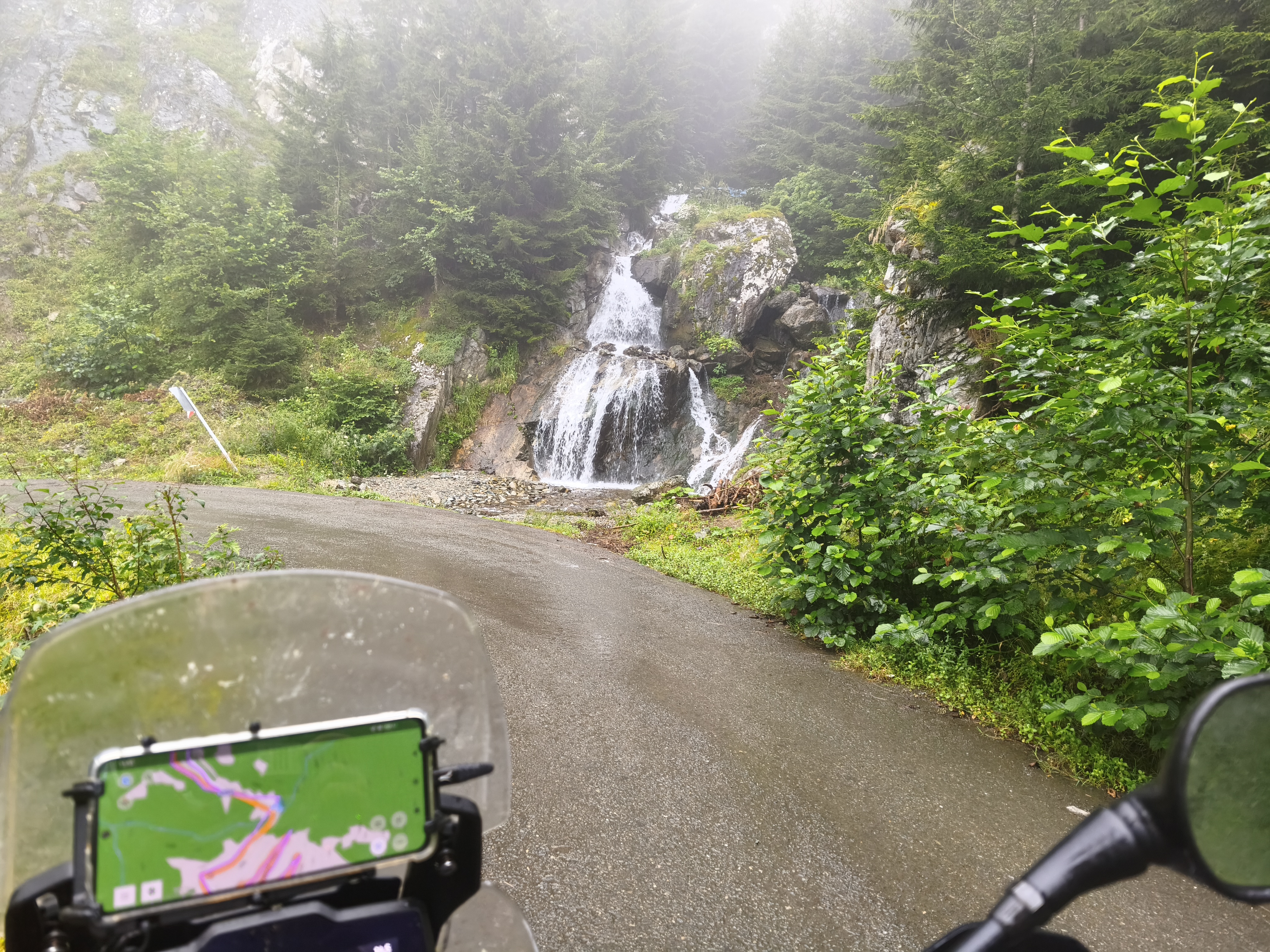
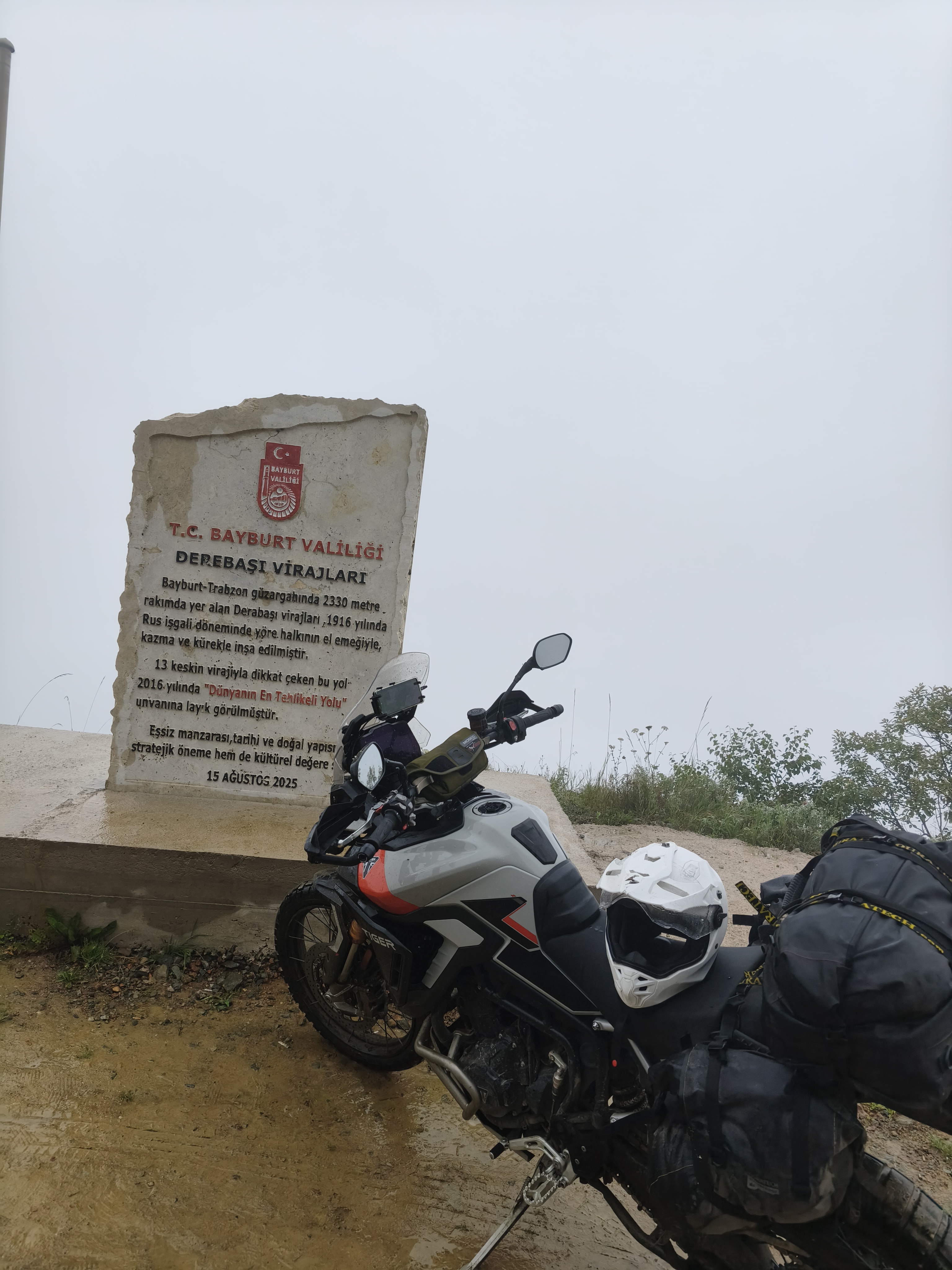
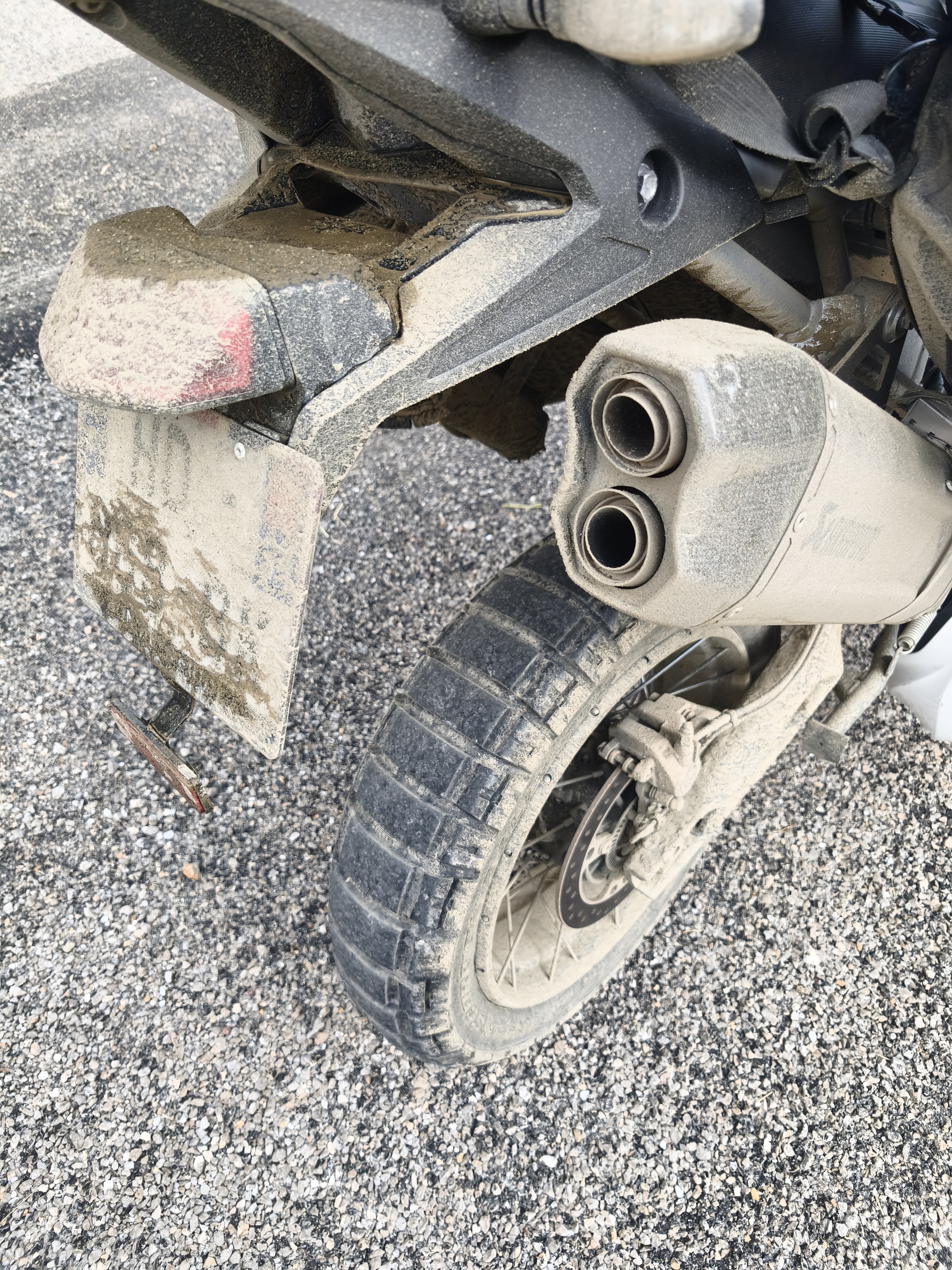
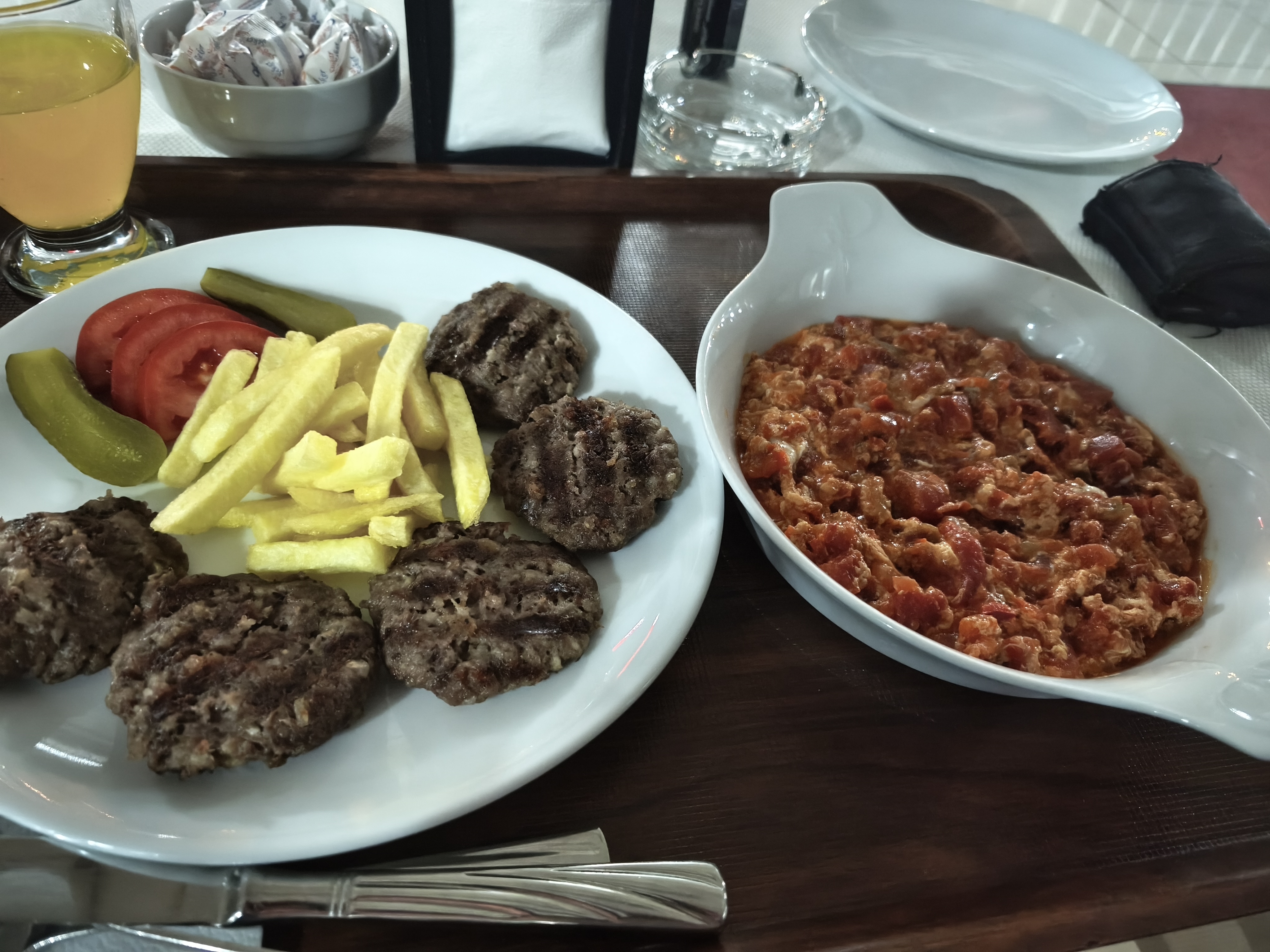
End of the heatwave! The dashboard thermometer drops to 7°C and won’t exceed 18°C all day. The objective: cross the mountain ranges north of Bayburt that separate the Black Sea from the Anatolian high plateaus. Connecting them is the famous D915 track, considered one of the most dangerous roads in the world due to its endless, sheer-drop switchbacks.
I tackle the descent in fog so thick you could cut it with a knife, with virtually zero visibility. Rarely have I been so focused, maintaining maximum vigilance while keeping my body relaxed to stay fluid on the handlebars. Further up, the planned pass at 3,000 meters was blocked by snow and sleet, forcing a turnback. To console myself, I treated myself to riding the D915 a second time, this time uphill, and with much clearer weather. Pure riding bliss! End of the day spent drying off at the hotel after this cold and very wet session. On the day I left home, I had hesitated to bring winter gear for this trip (on a motorcycle, you try to travel light). In the end, I made the right call.
Fin de la canicule ! Le thermomètre du tableau de bord chute à 7°C et ne dépassera pas 18°C de la journée. L’objectif : franchir les massifs au nord de Bayburt qui séparent la Mer Noire des hauts plateaux anatoliens. Pour les relier : la célèbre piste D915, considérée comme l’une des routes les plus dangereuses au monde en raison de ses épingles sans fin à même le vide.
J’attaque la descente dans un brouillard à couper au couteau avec une visibilité quasi nulle. Rarement j’ai été aussi concentré, maintenant une vigilance maximale tout en gardant le corps relâché pour conserver de la fluidité au guidon. Plus haut, le col prévu à 3 000 m étant bloqué par la neige et le grésil, demi-tour obligatoire. Pour me consoler, je me suis offert la D915 une seconde fois, en montée cette fois, et avec une météo bien plus dégagée. Le pur plaisir du pilotage ! Fin de journée à sécher à l’hôtel après cette session froide et très humide. Le jour du départ, j’avais hésité à prendre des tenues d’hiver pour ce voyage (à moto, on essaie de voyager « léger »). J’aurais finalement fait le bon choix).
Day #13: Bayburt – Kars. Distance: 480 km (450 km Road / 30 km Off-road track)
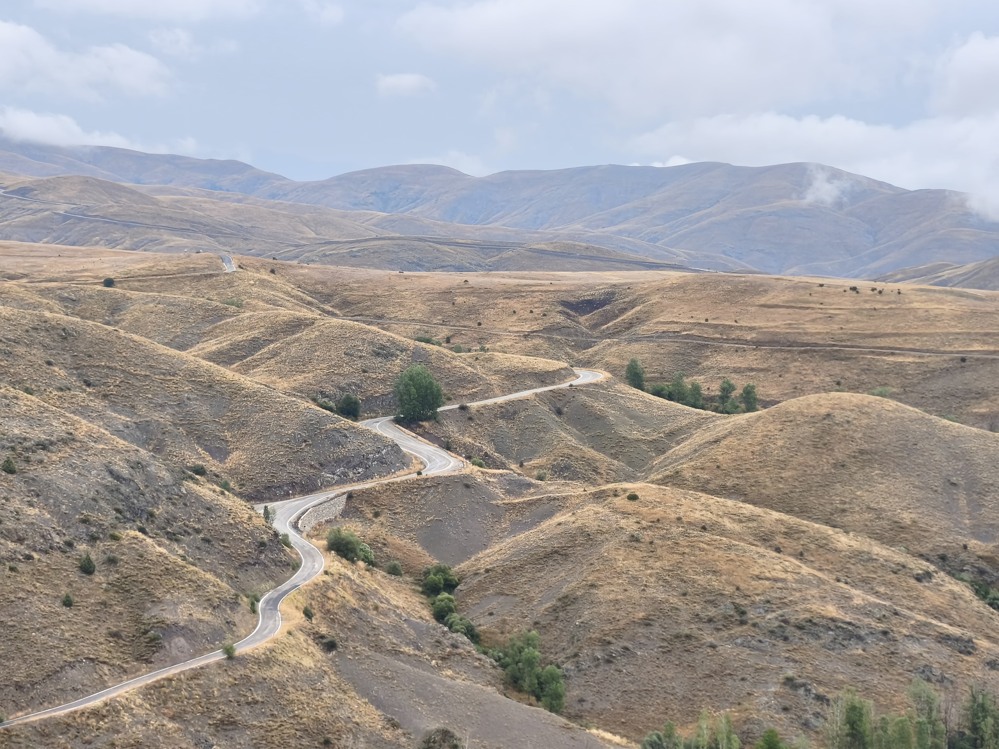
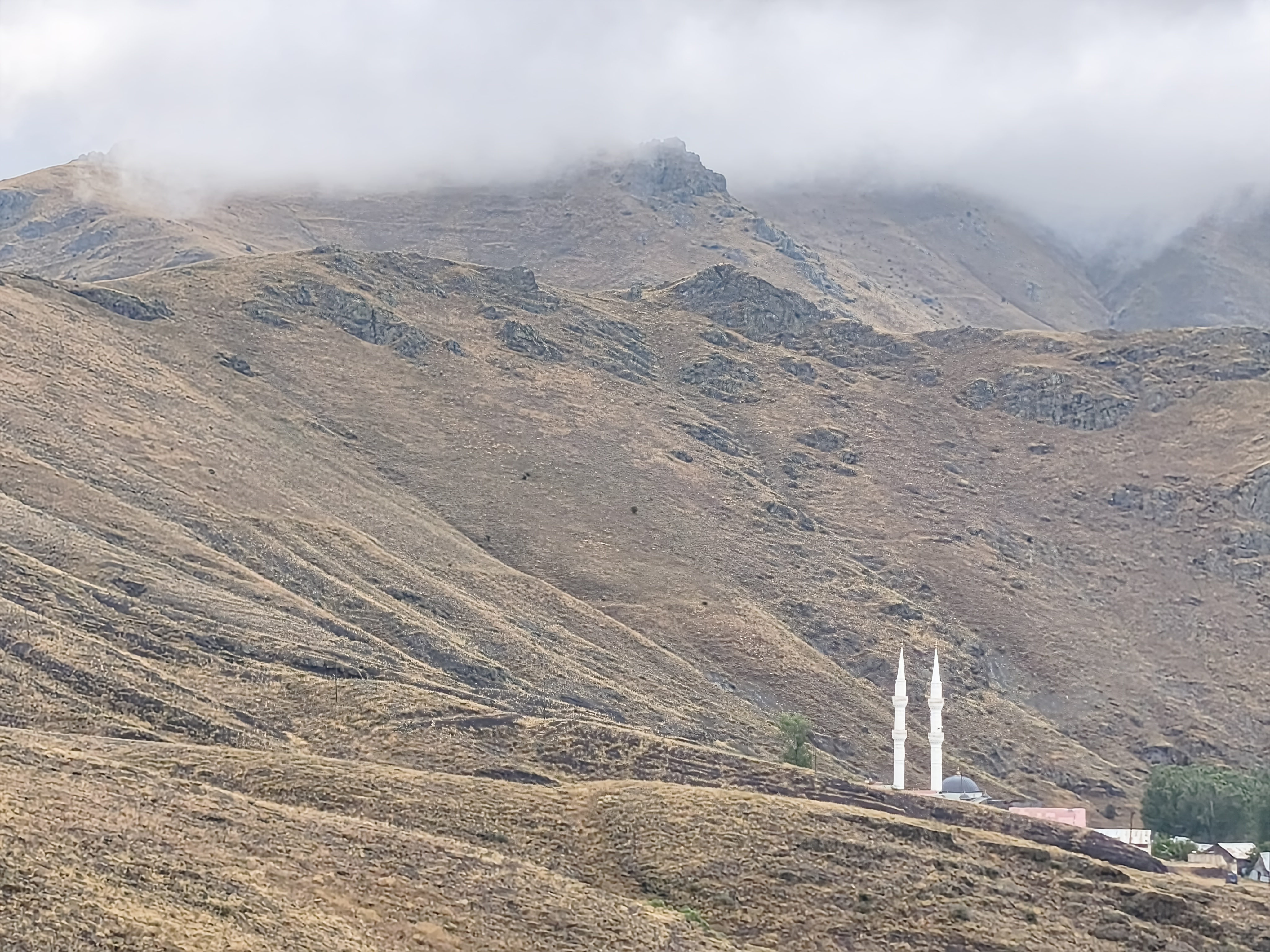
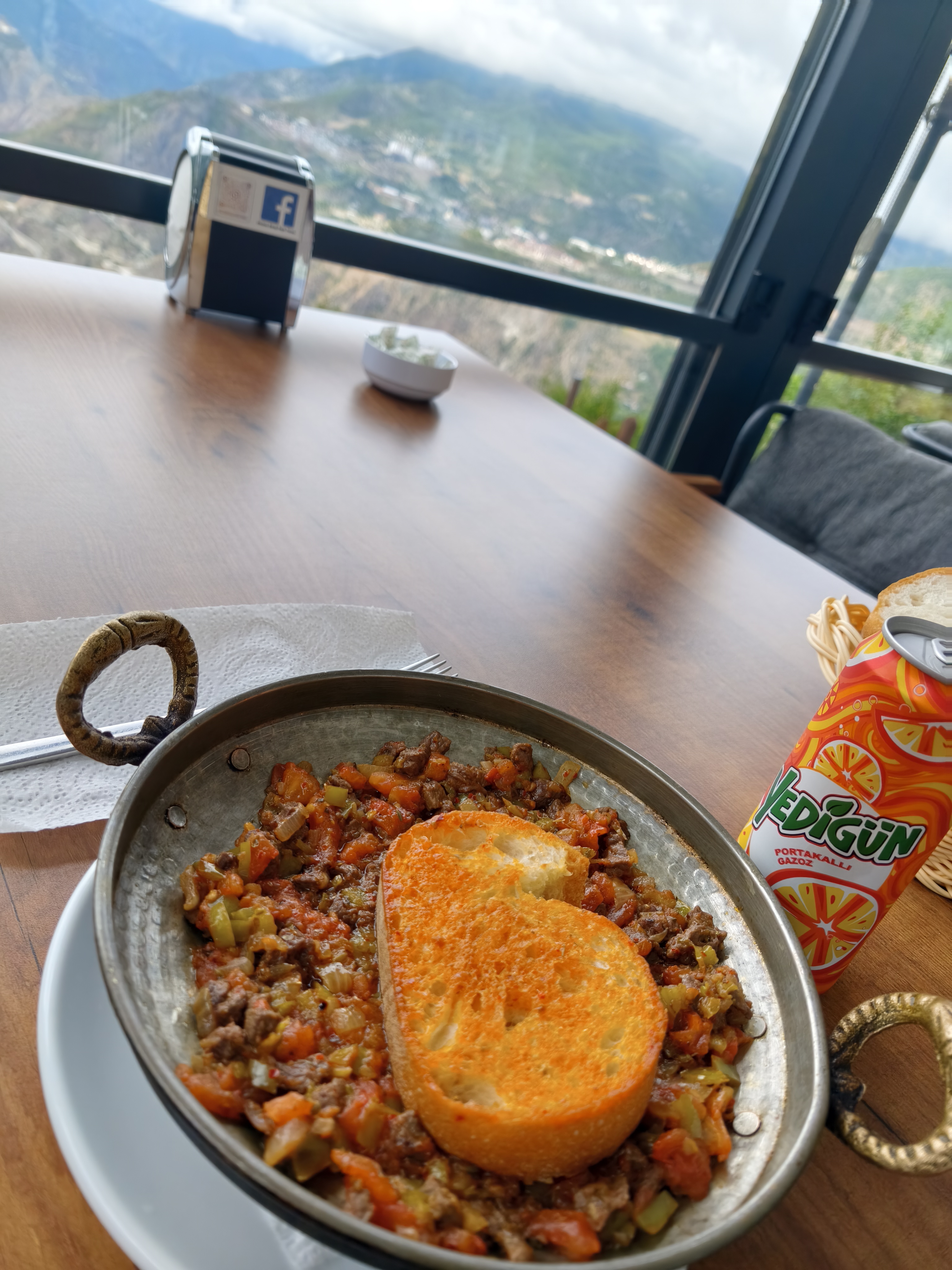
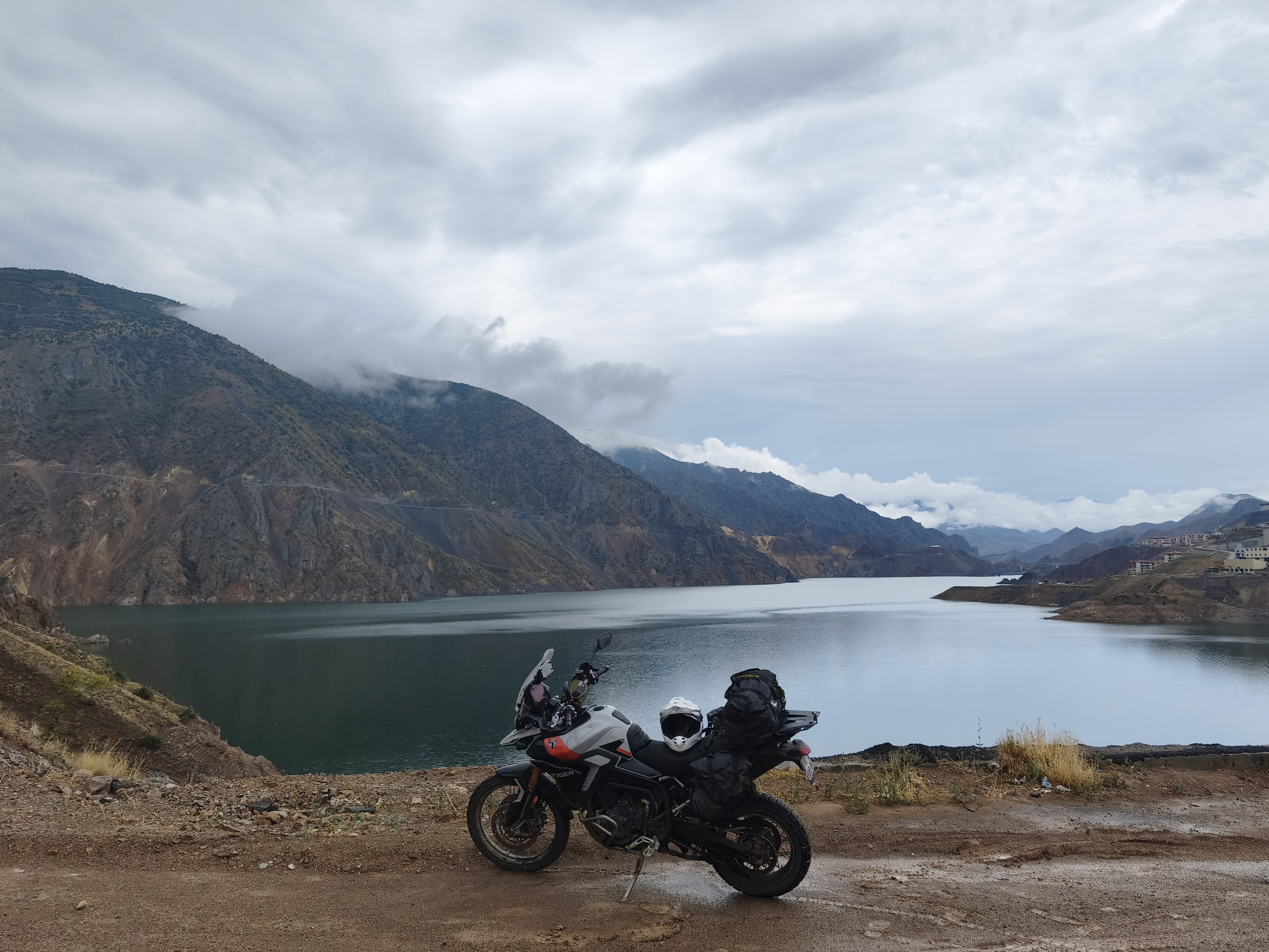
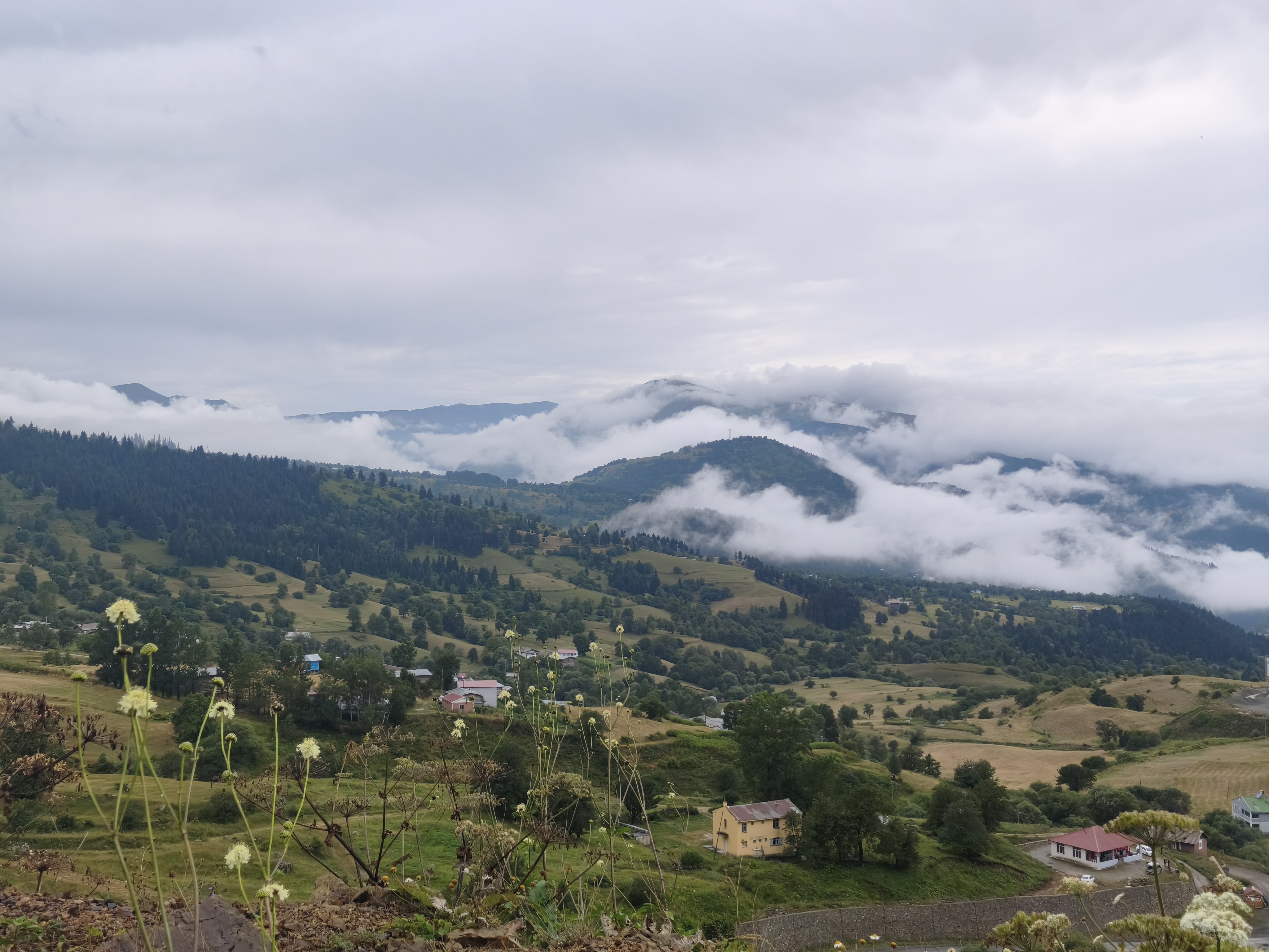
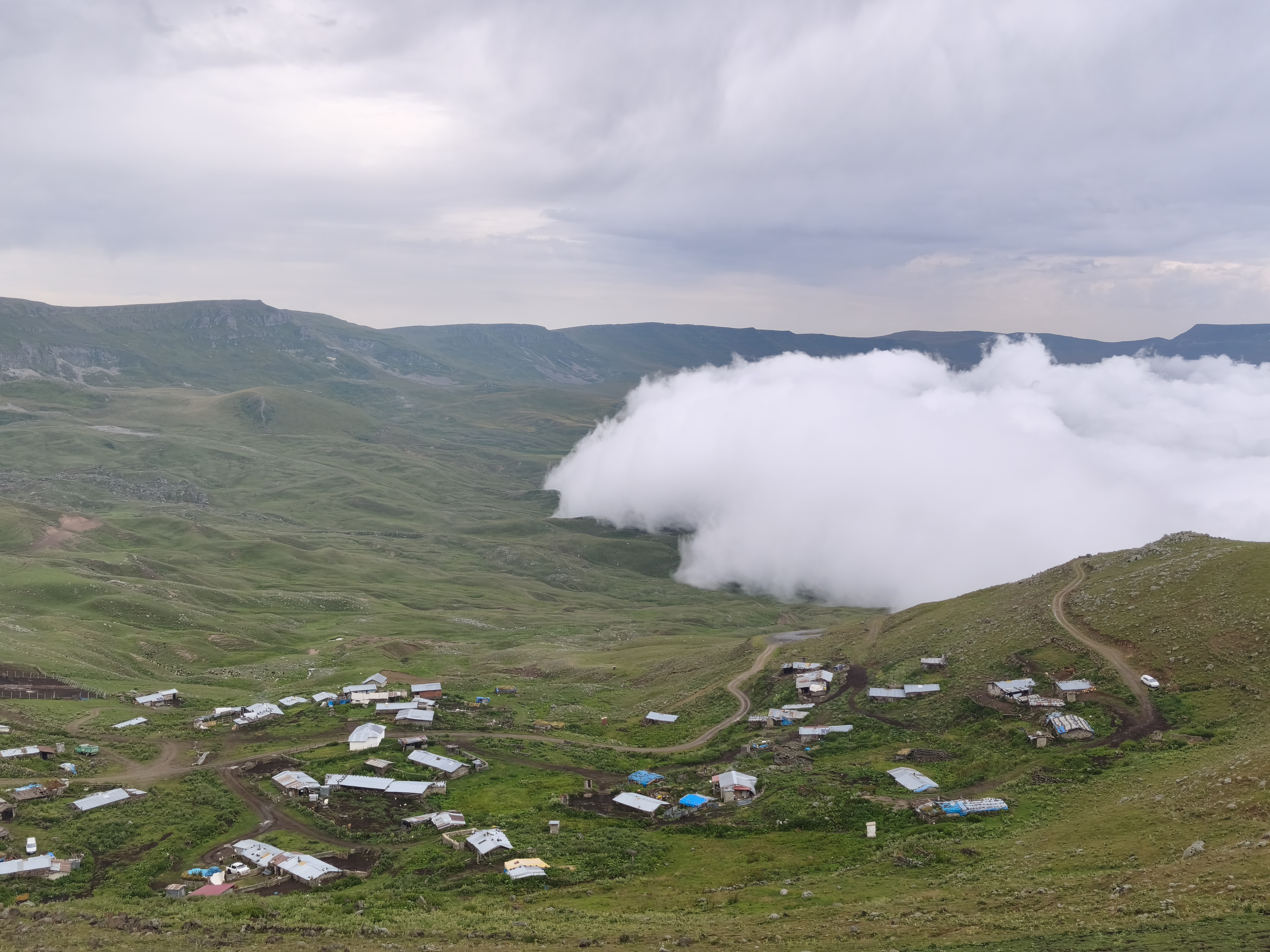
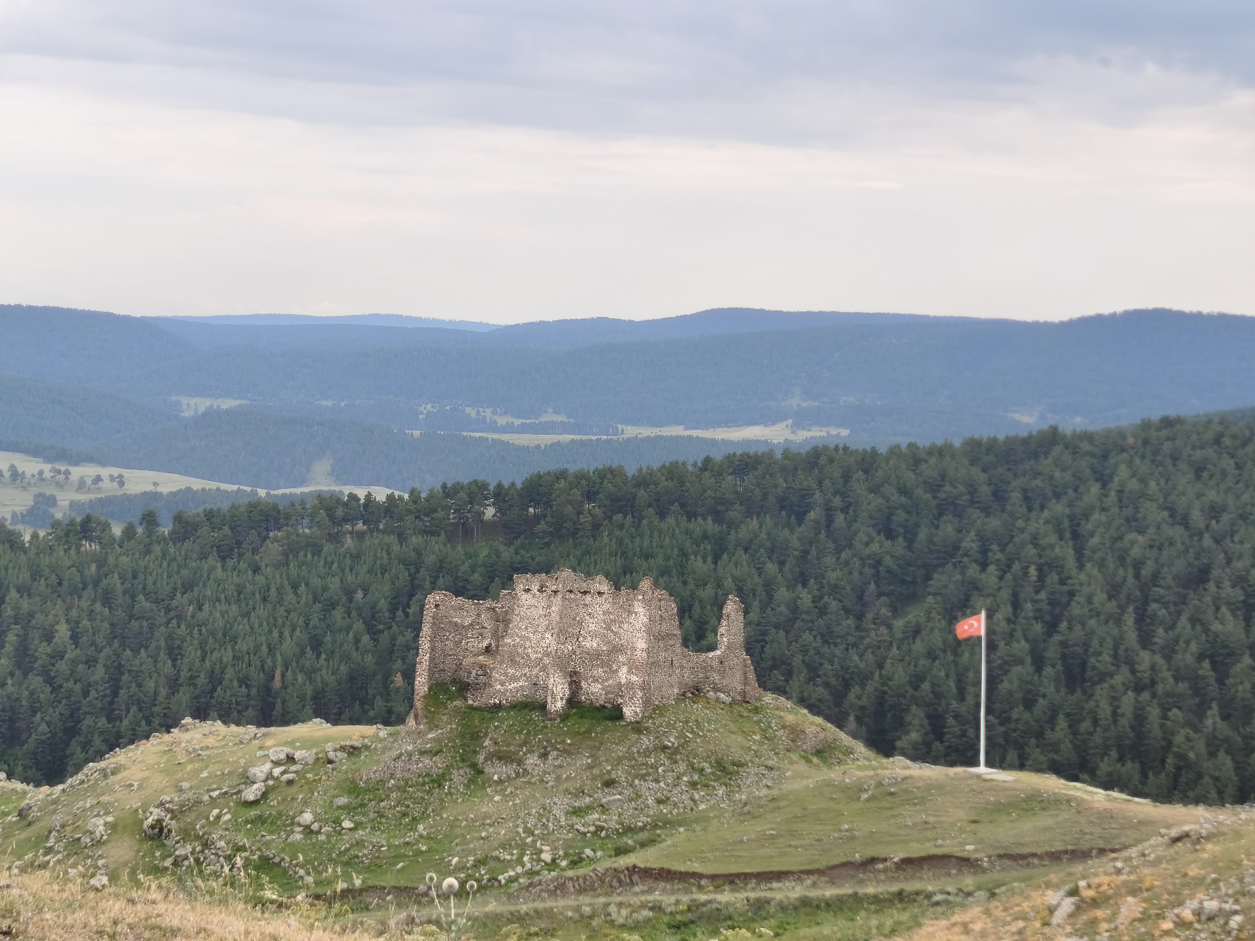
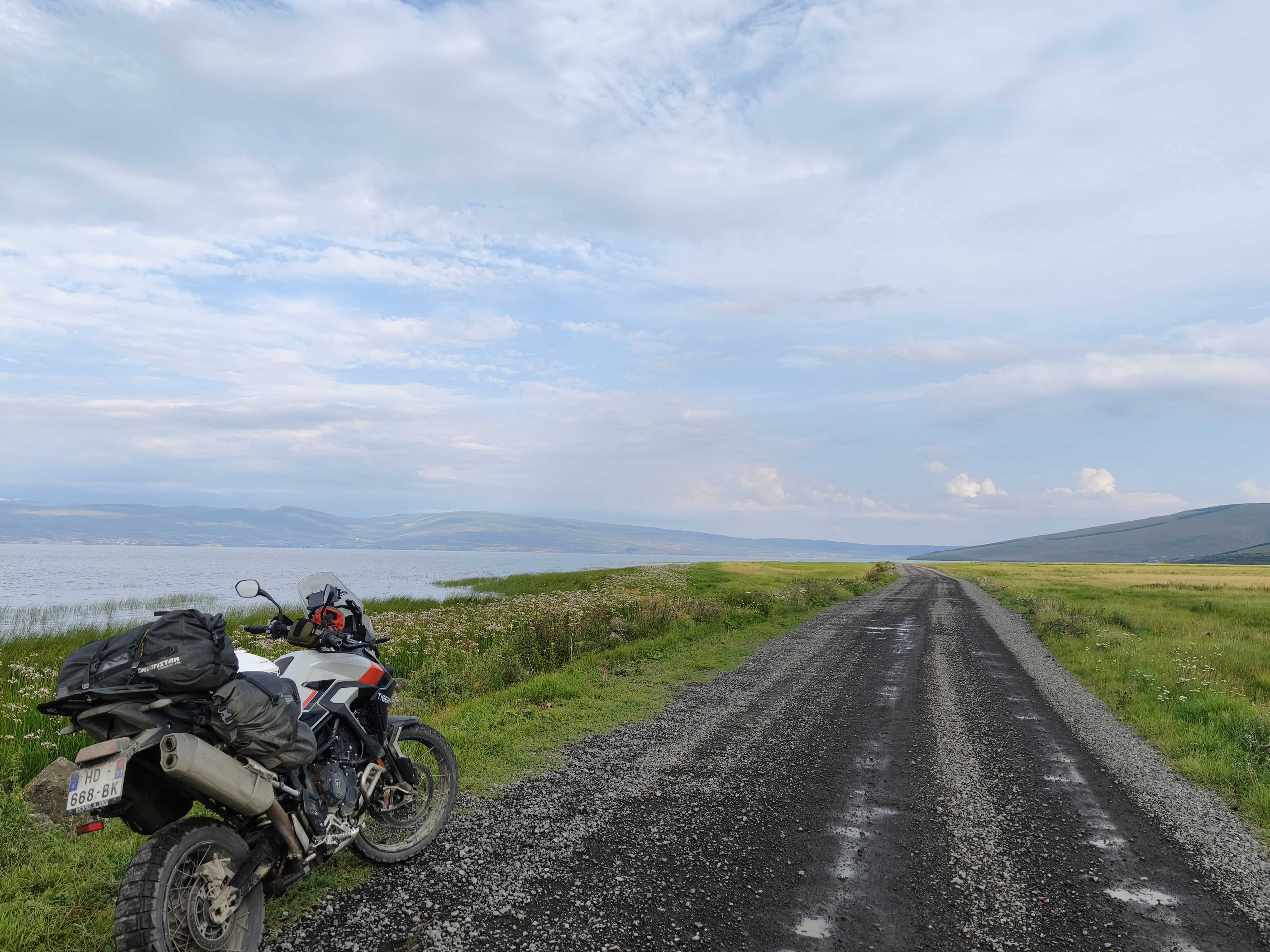
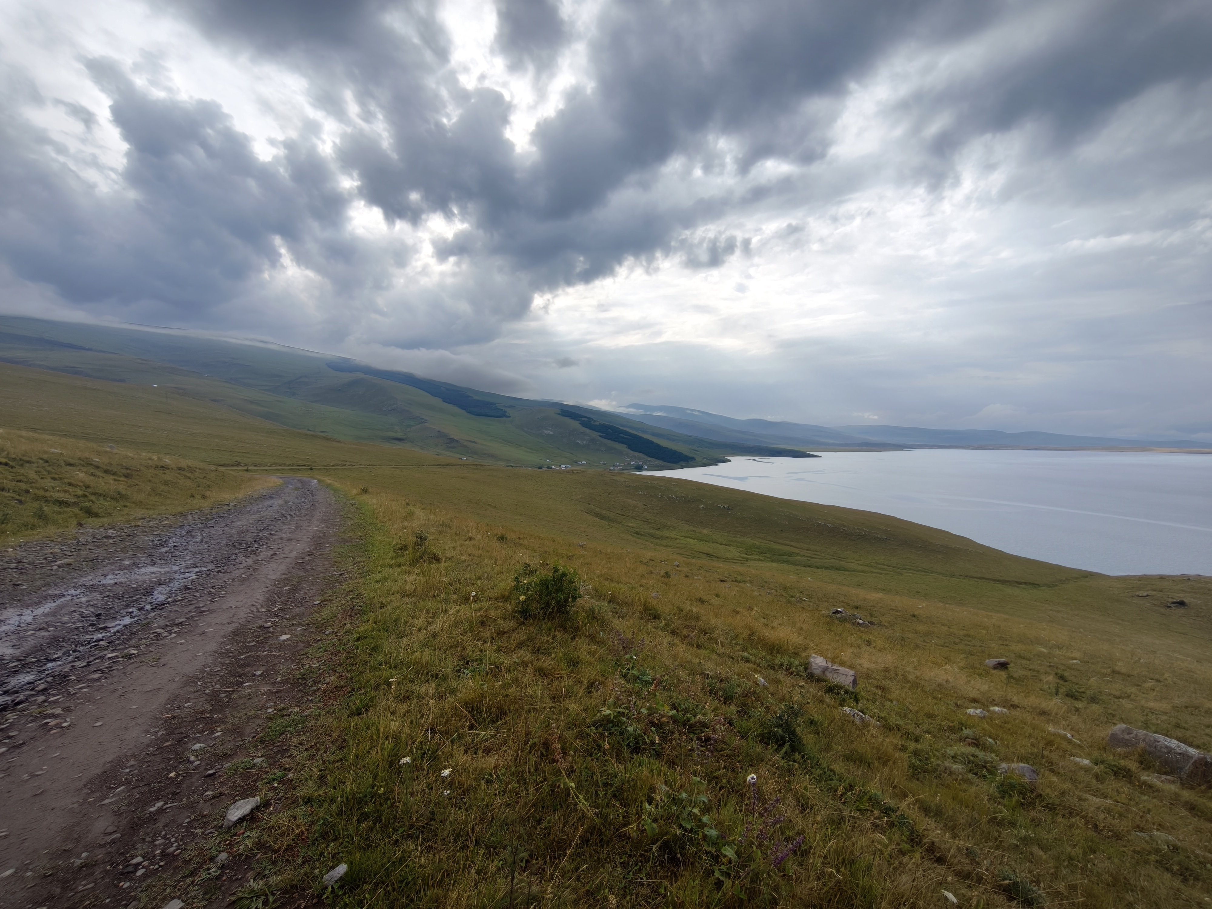
Back on the tarmac to push deeper East. The day begins by following the Çoruh River for 250 km as it carves its way through dark gorges before flowing into the Black Sea in Georgia. A landscape as impressive as it is austere.
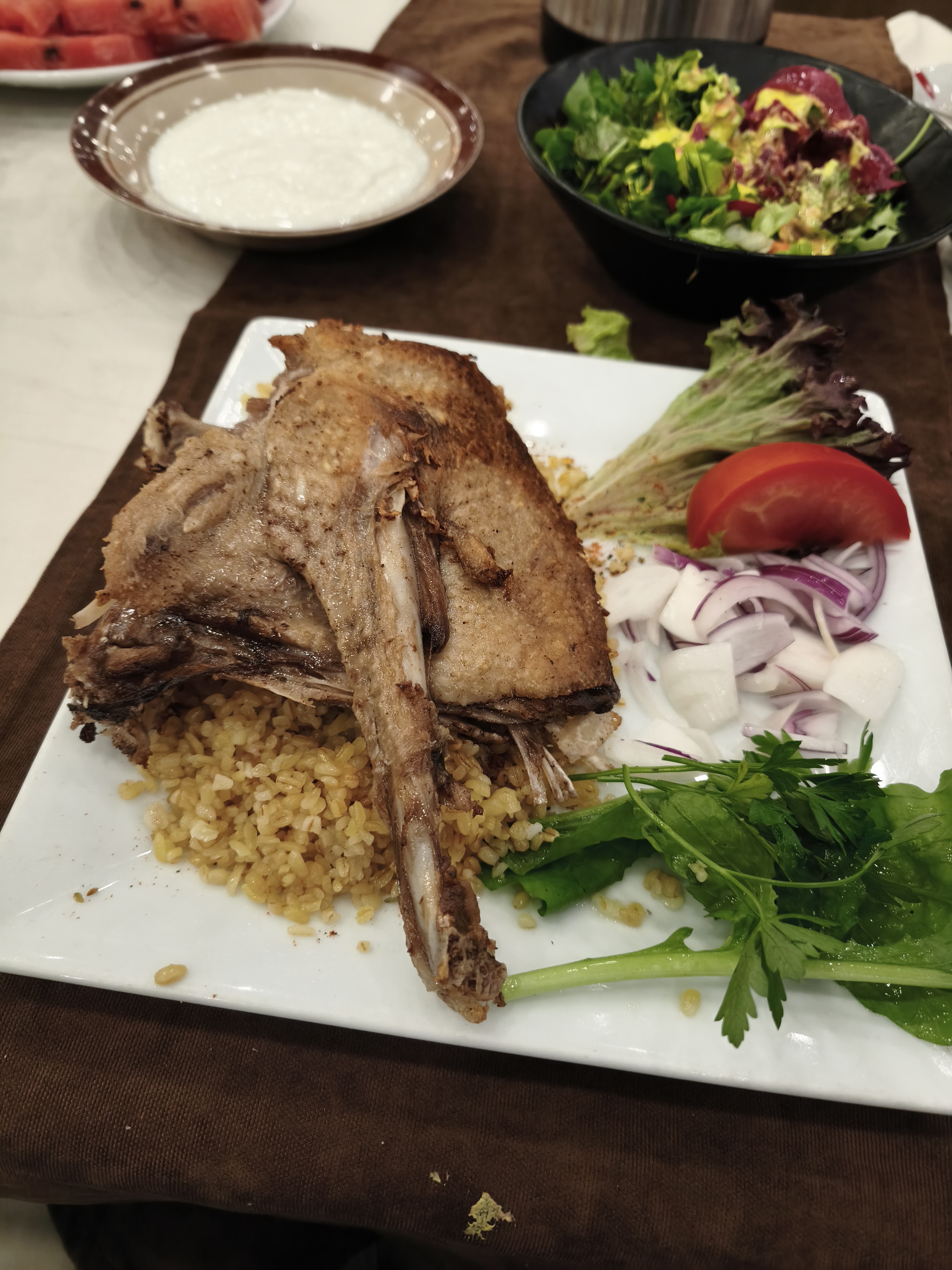
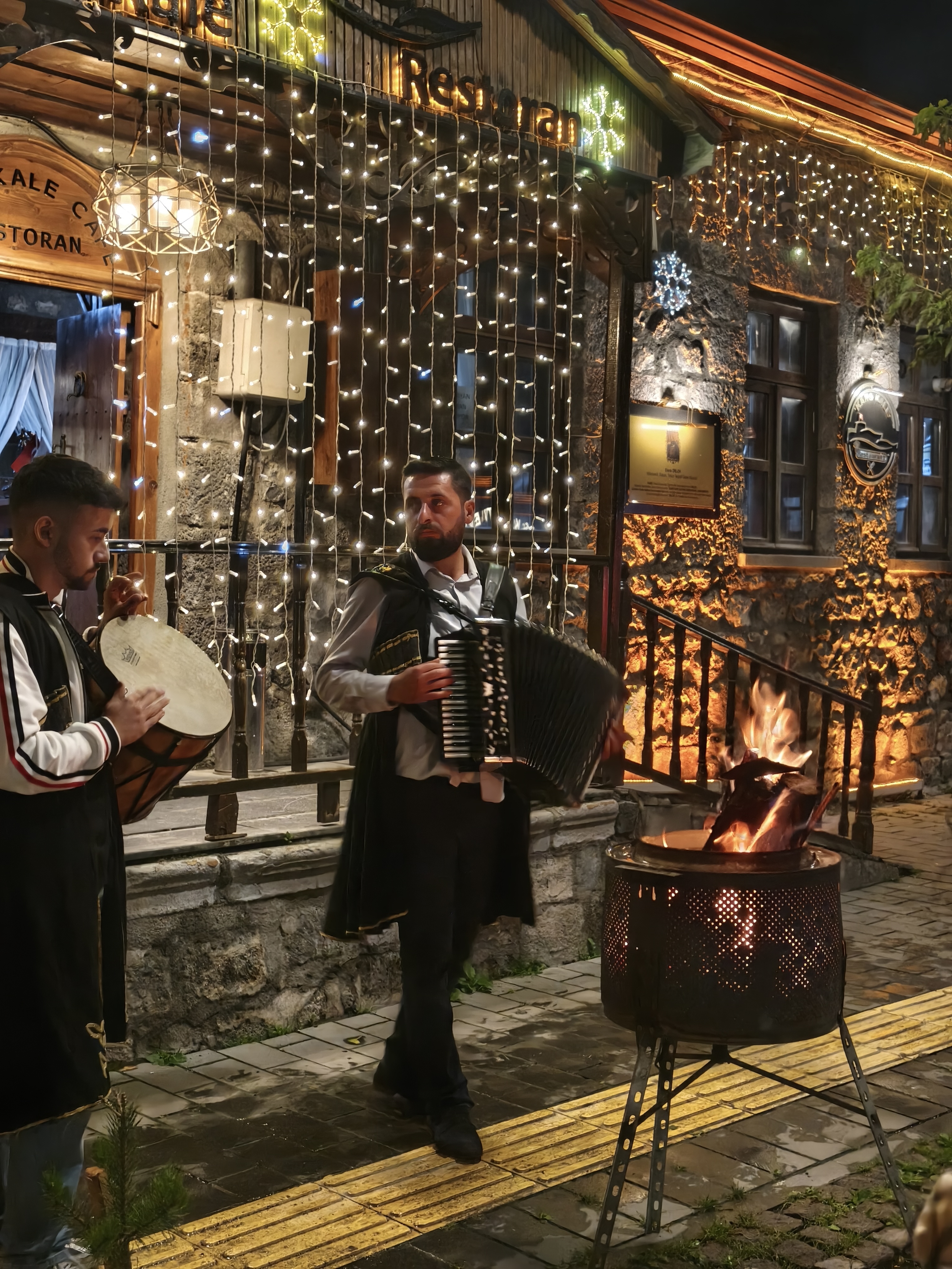
Then comes the climb up to the Caucasus high plateaus, above the clouds, along the Armenian border. The landscapes, architecture, and rural way of life resemble Kyrgyzstan. Throughout the late afternoon, I spot signs pointing to Gürcistan and Ermenistan, the Turkish names for Georgia and Armenia, whose borders I ran along all afternoon. We cover 30 km of fast, sweeping dirt tracks along the shores of Lake Çıldır (2,500 m altitude), amidst unspoiled wildlife. End of the day in Kars, steeped in its medieval, Caucasian atmosphere and Armenian heritage, and where finishing the day with half a goose in one’s stomach seems to be a tradition to be honored.
Retour sur le bitume pour nous enfoncer plus à l’Est. La journée commence en longeant le fleuve Çoruh sur 250 km, alors qu’il se fraye un chemin à travers des gorges sombres avant de se jeter dans la Mer Noire en Géorgie. Un paysage aussi impressionnant qu’austère.
Puis c’est la montée vers les hauts plateaux du Caucase, au-dessus des nuages, le long de la frontière arménienne. Les paysages, l’habitat et les modes de vie ruraux, ressemblent au Kirghizistan, et tout au long de cette fin de journée, je vois les panneaux indiquant Gürcistan at Ermenistan, qui ne sont autre que la traduction de la Géorgie et de l’Arménie, dont j’aurais longé les frontières toute l’après-midi. Parcours de 30 km de pistes roulantes sur les rives du lac Çıldır (2 500 m d’altitude), au milieu d’une faune préservée. Fin de journée à Kars, imprégnée de son atmosphère médiévale, caucasienne et de son héritage arménien, et où s’achever avec une demi oie dans l’estomac semble être une tradition à respecter.
Day #14: Kars – Erzurum. Distance: 360 km (Road)
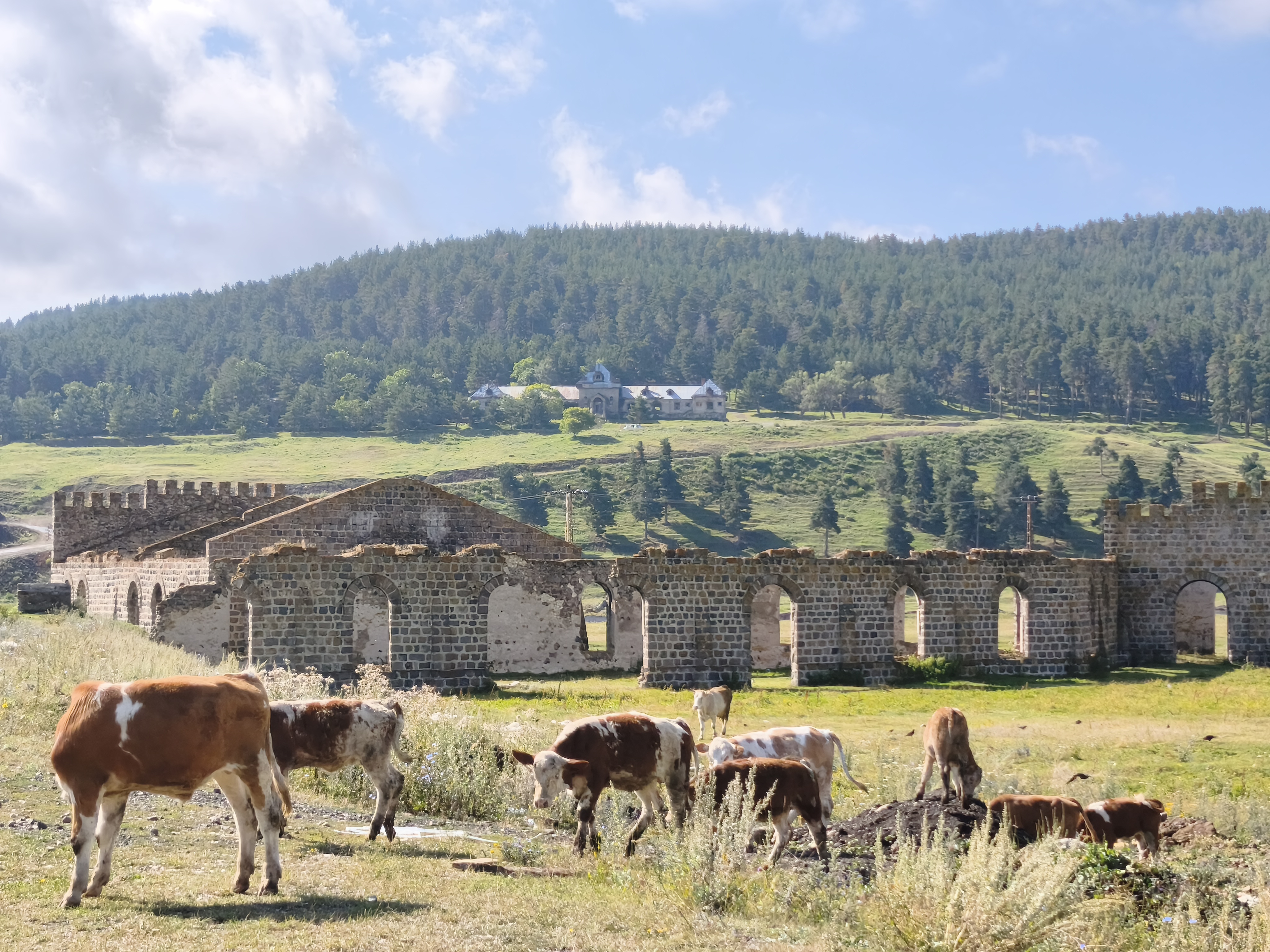
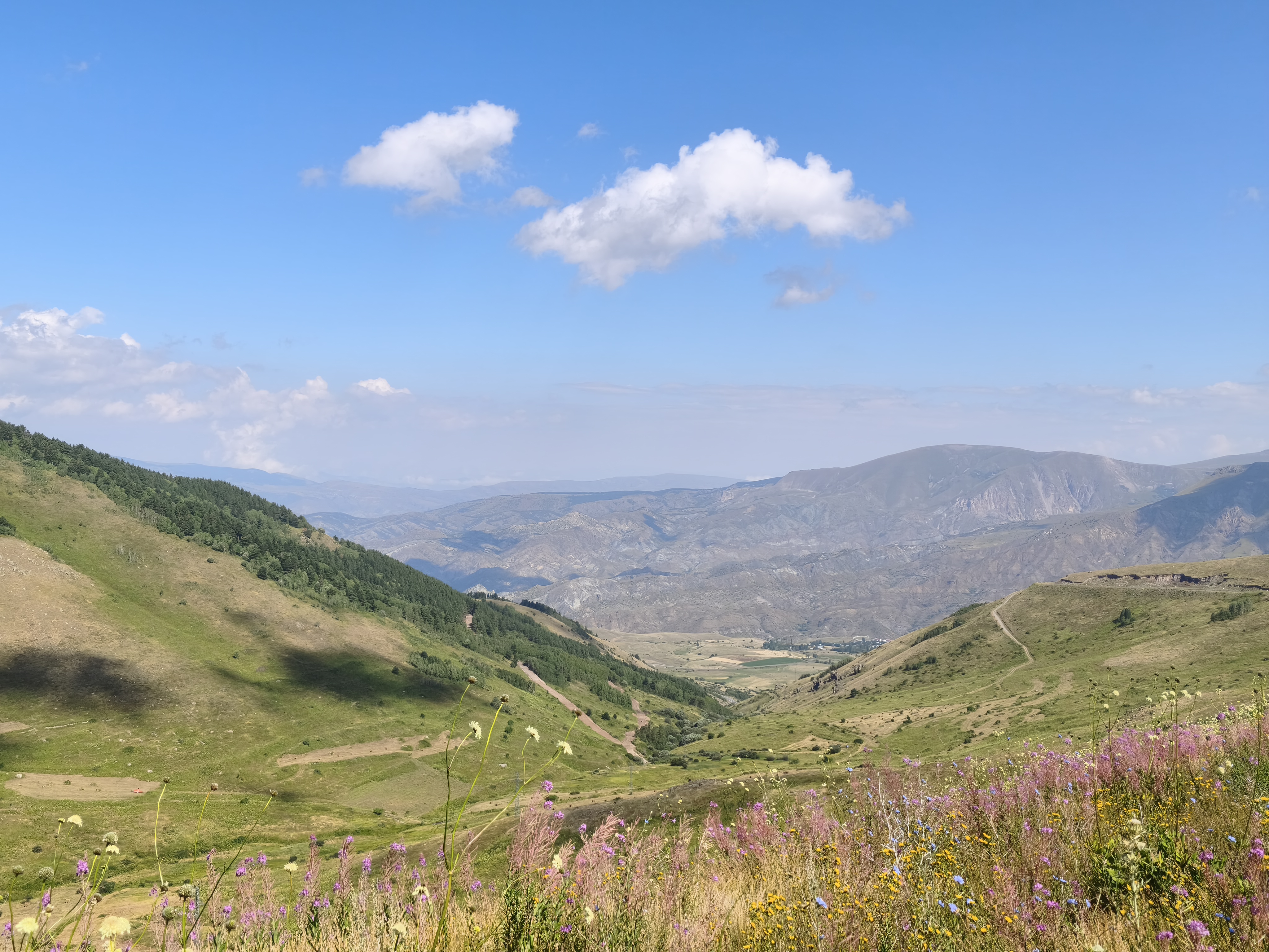
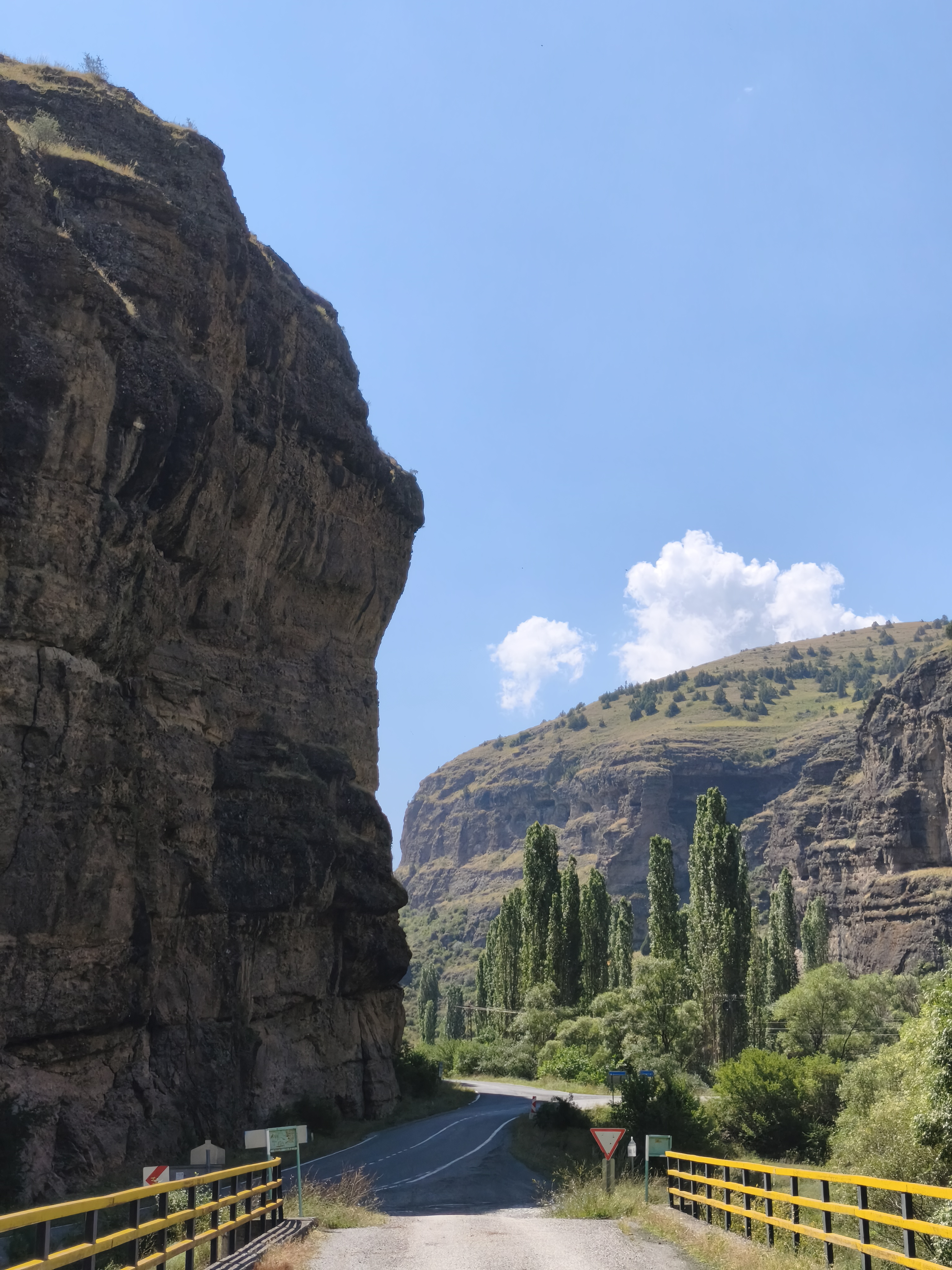
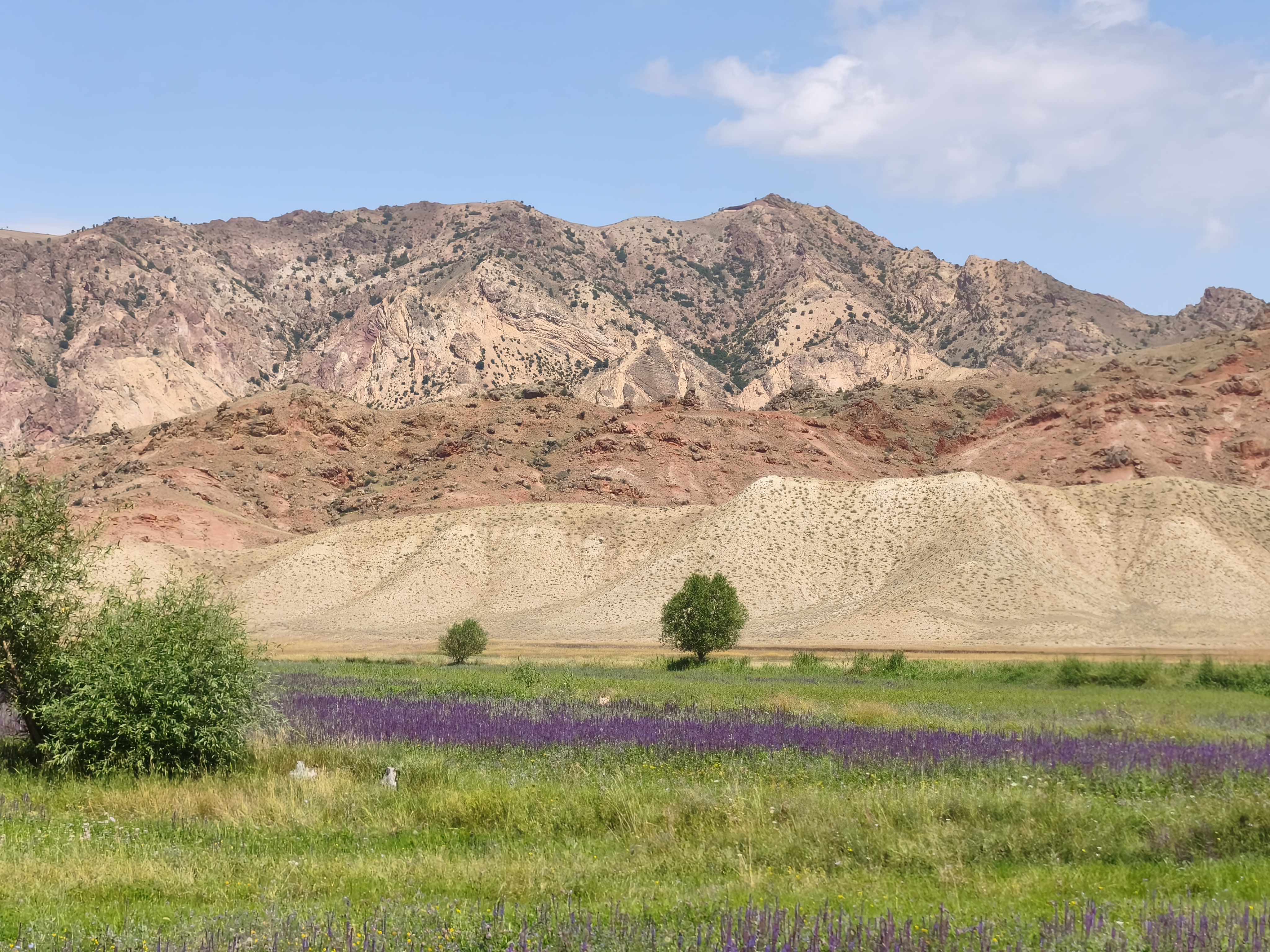
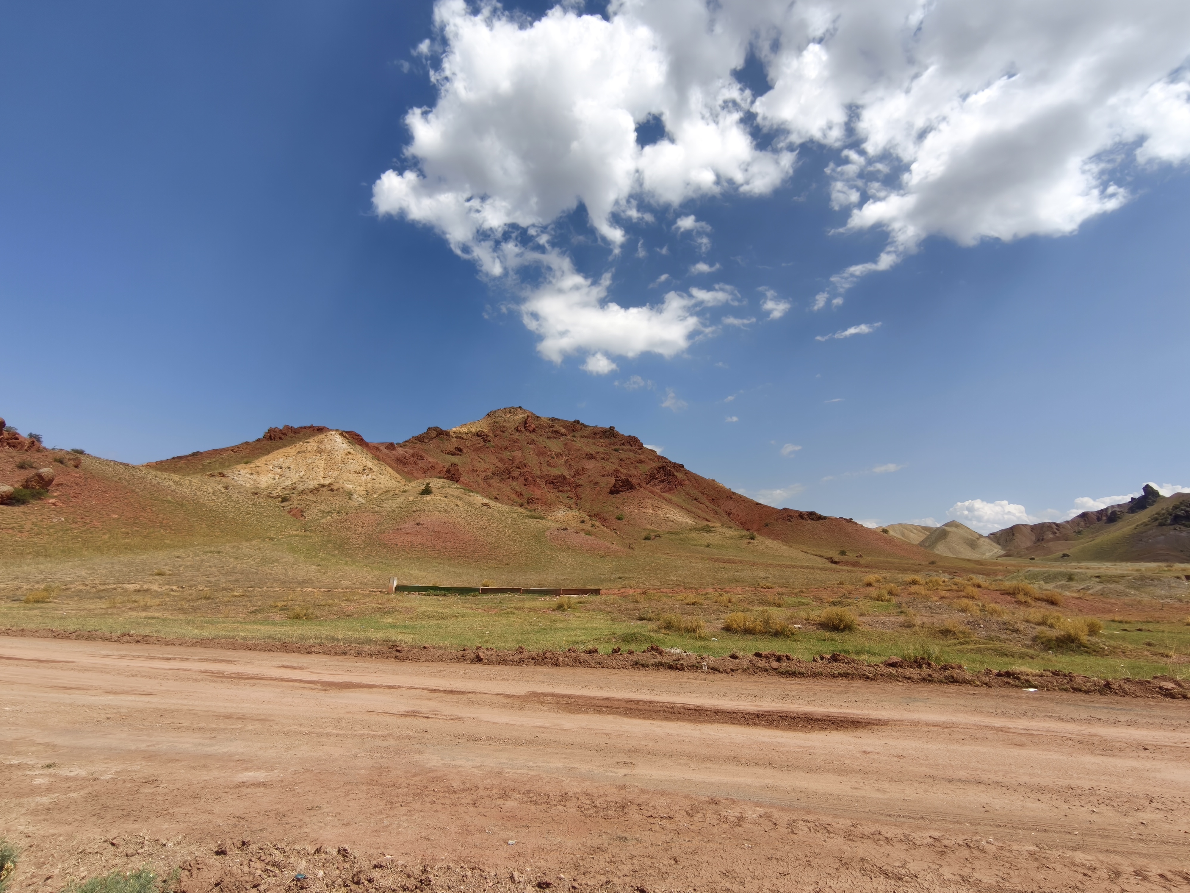
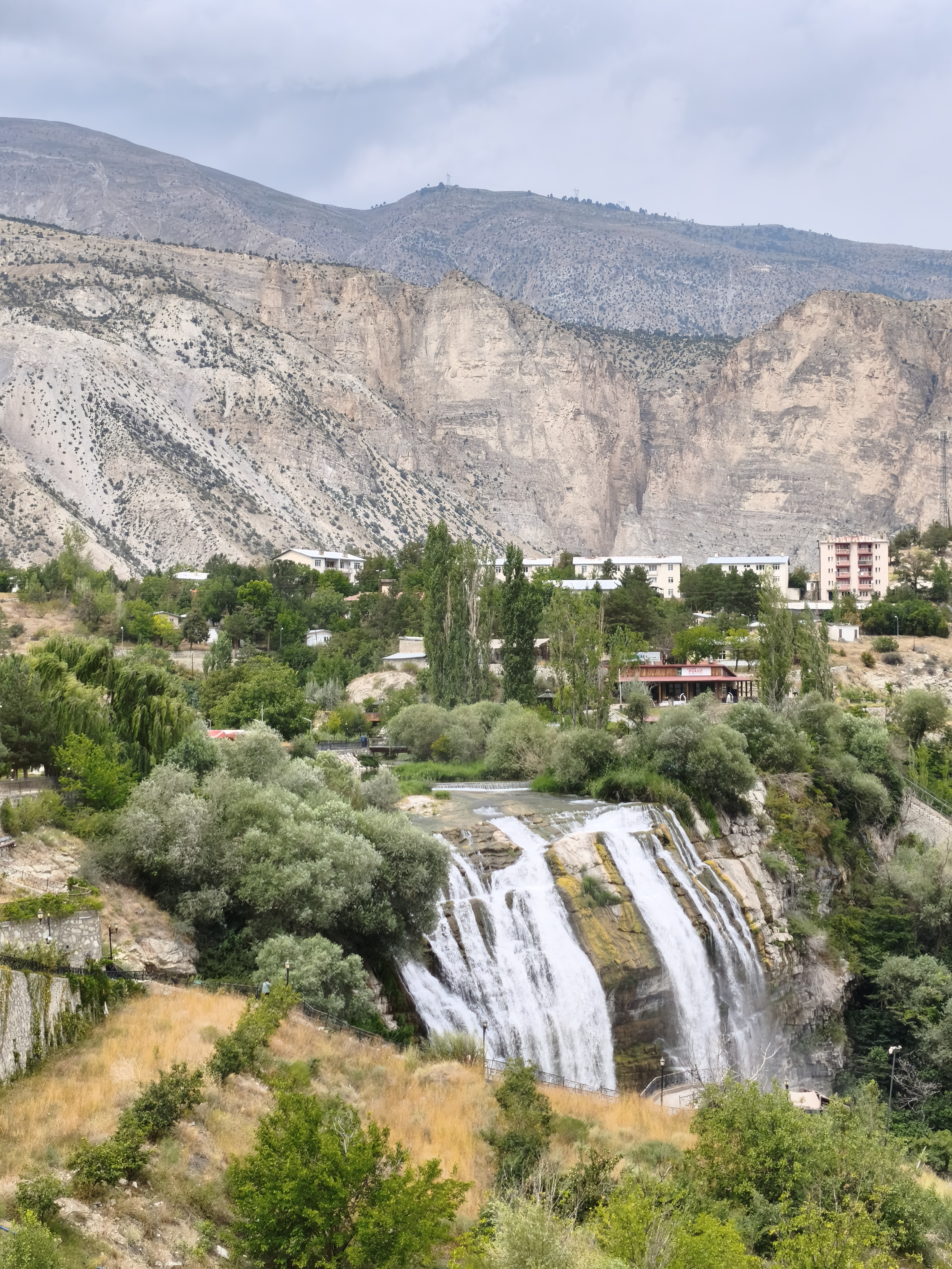
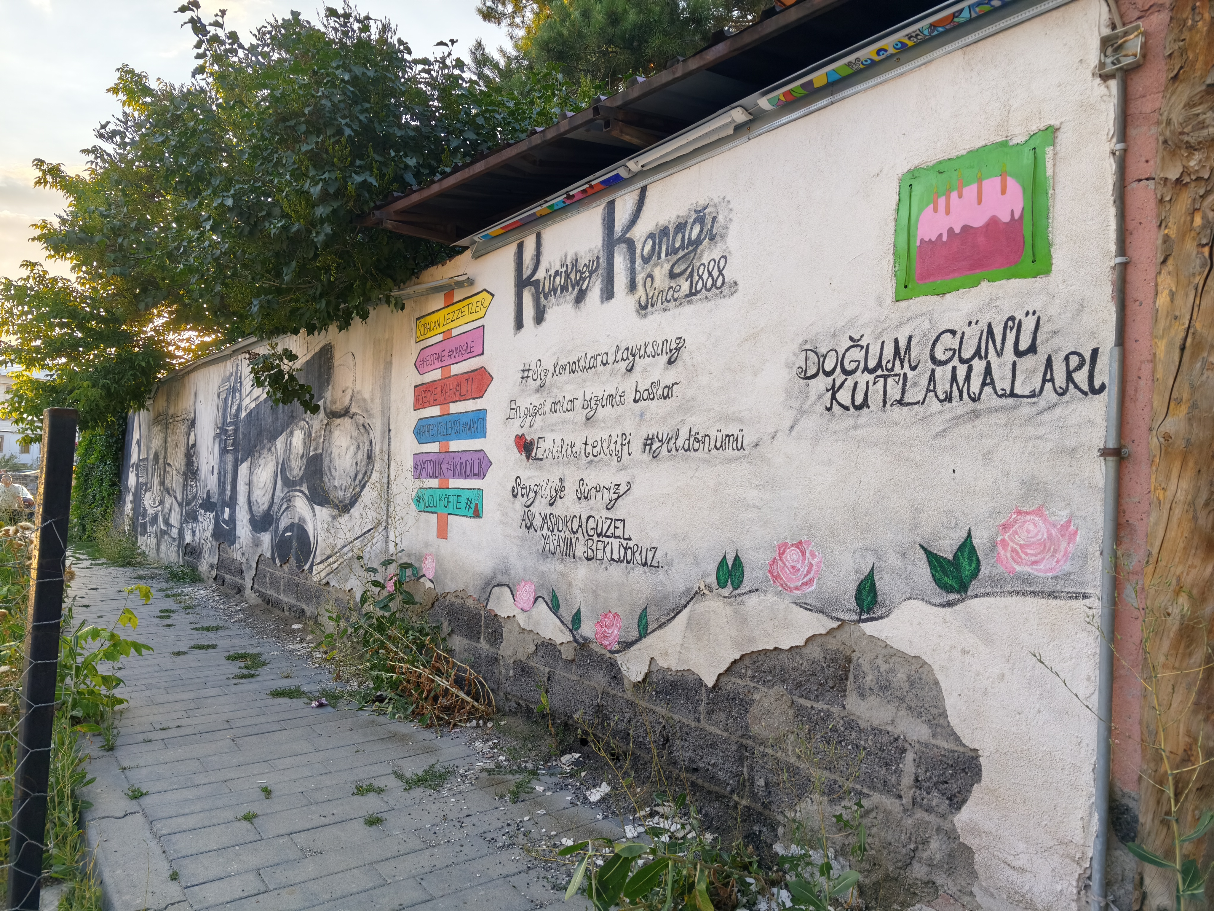
Continuing across the high Caucasian plateaus in the crisp morning air before plunging into deep gorges. Near Oltu, superb mountains with ochre and multicolored rocks create a striking contrast with the tender green of the valley crops.
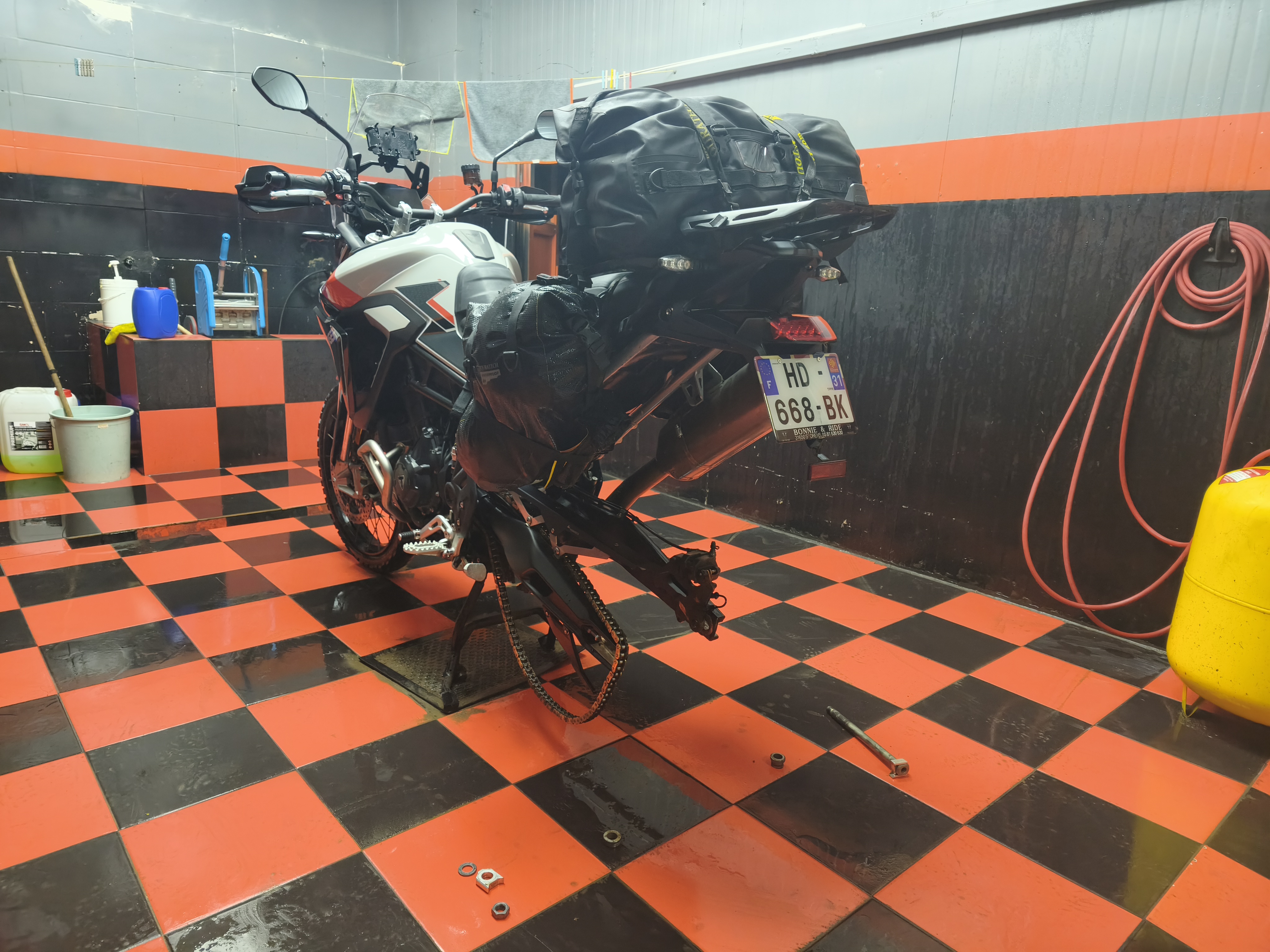
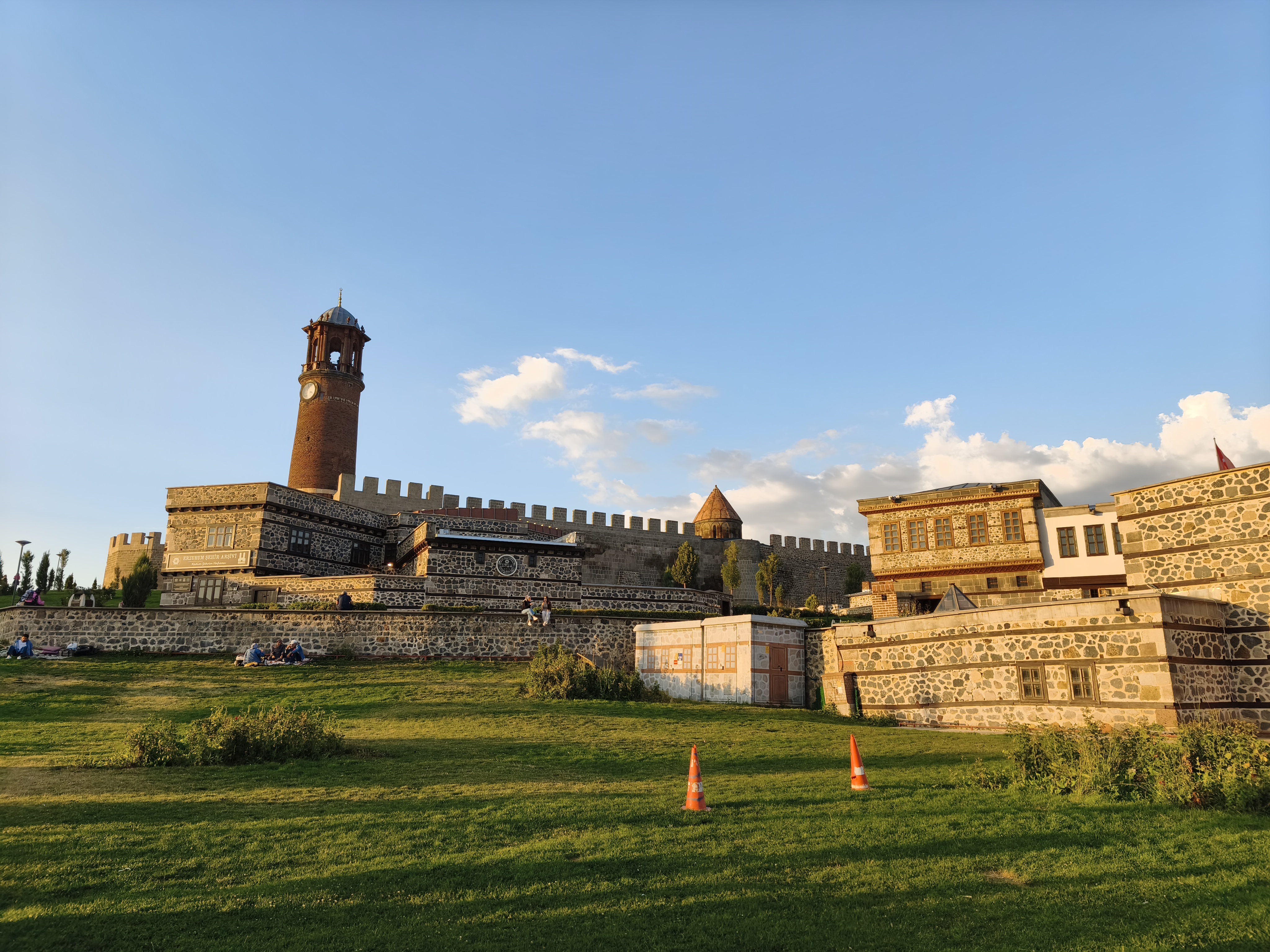
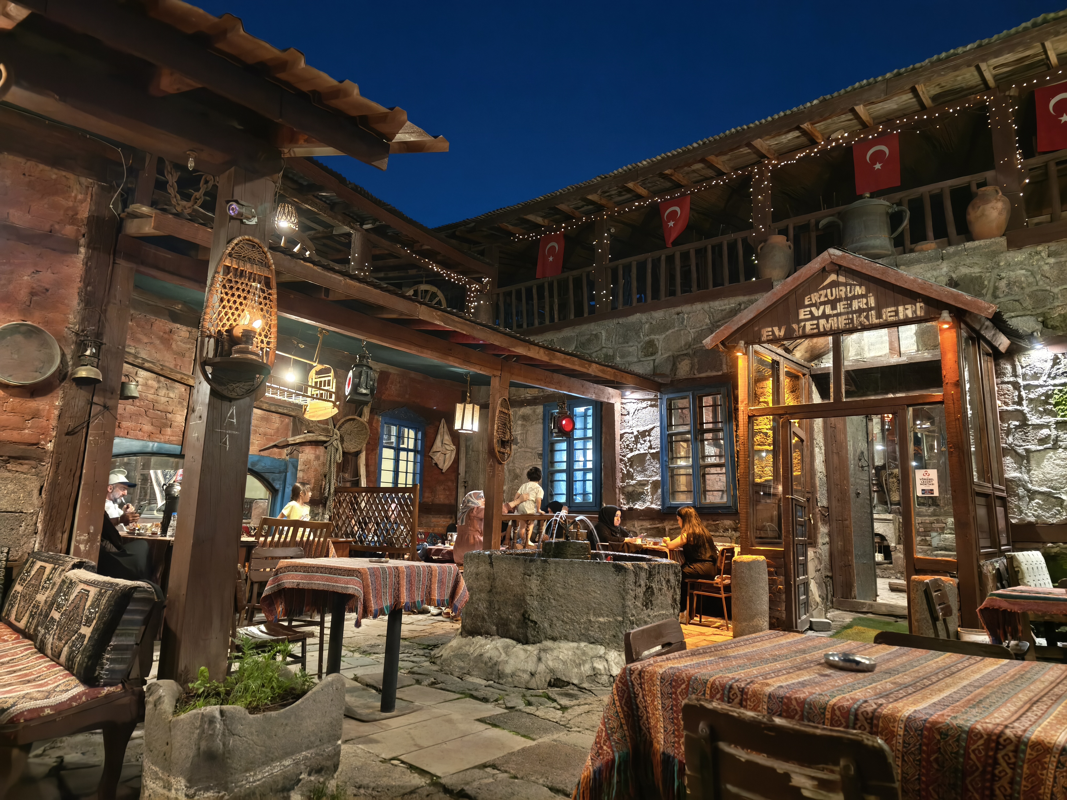
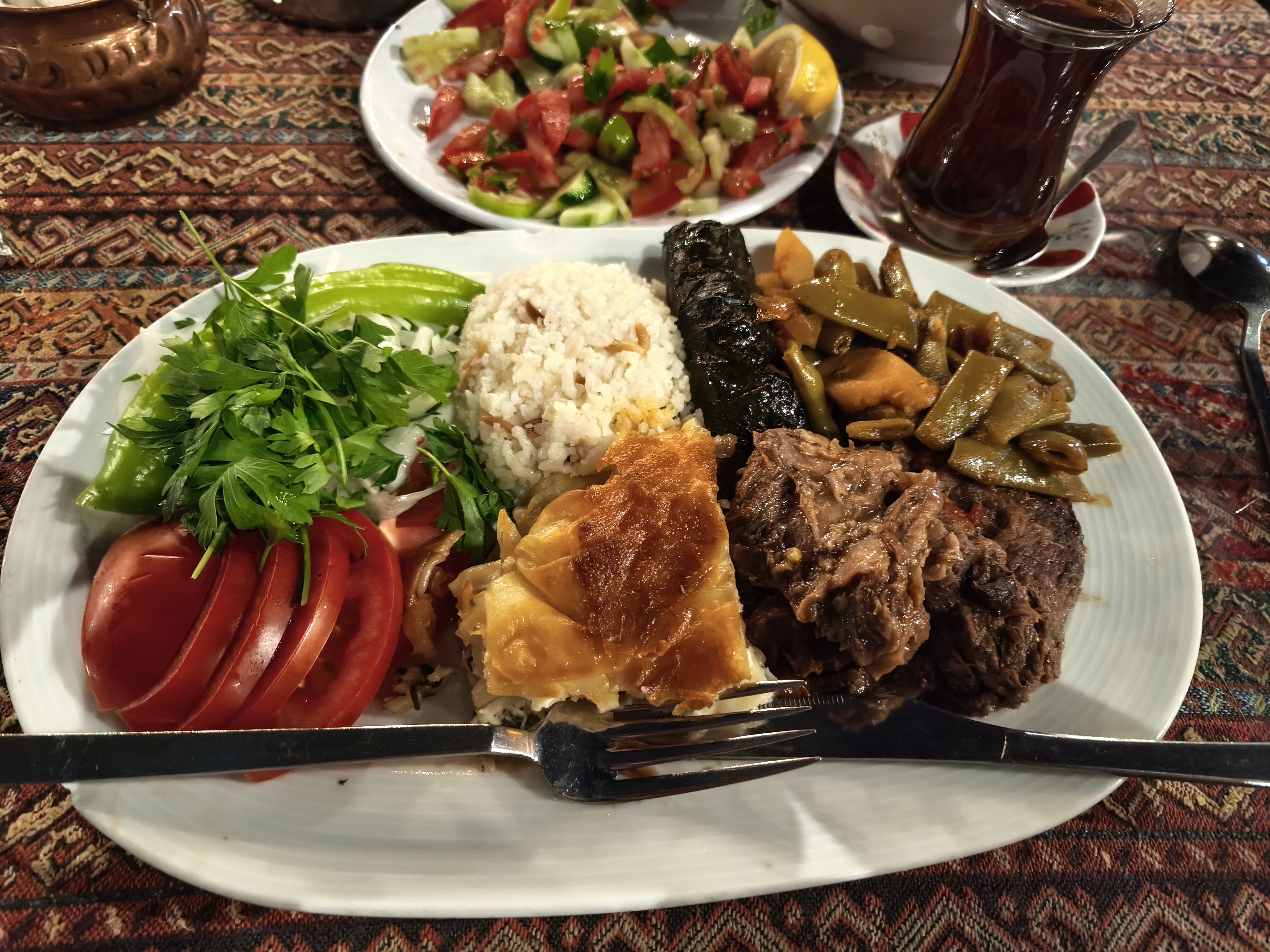
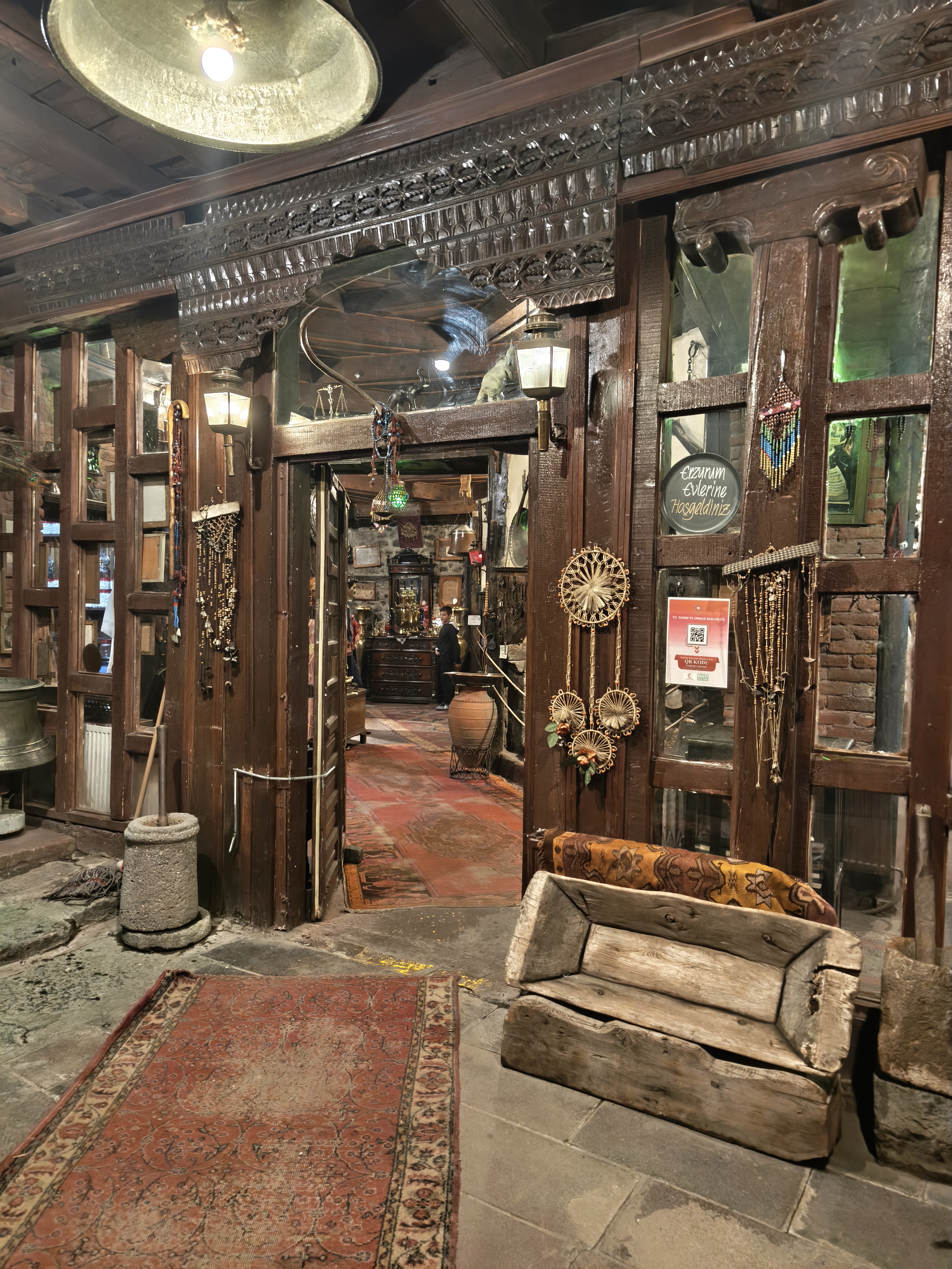
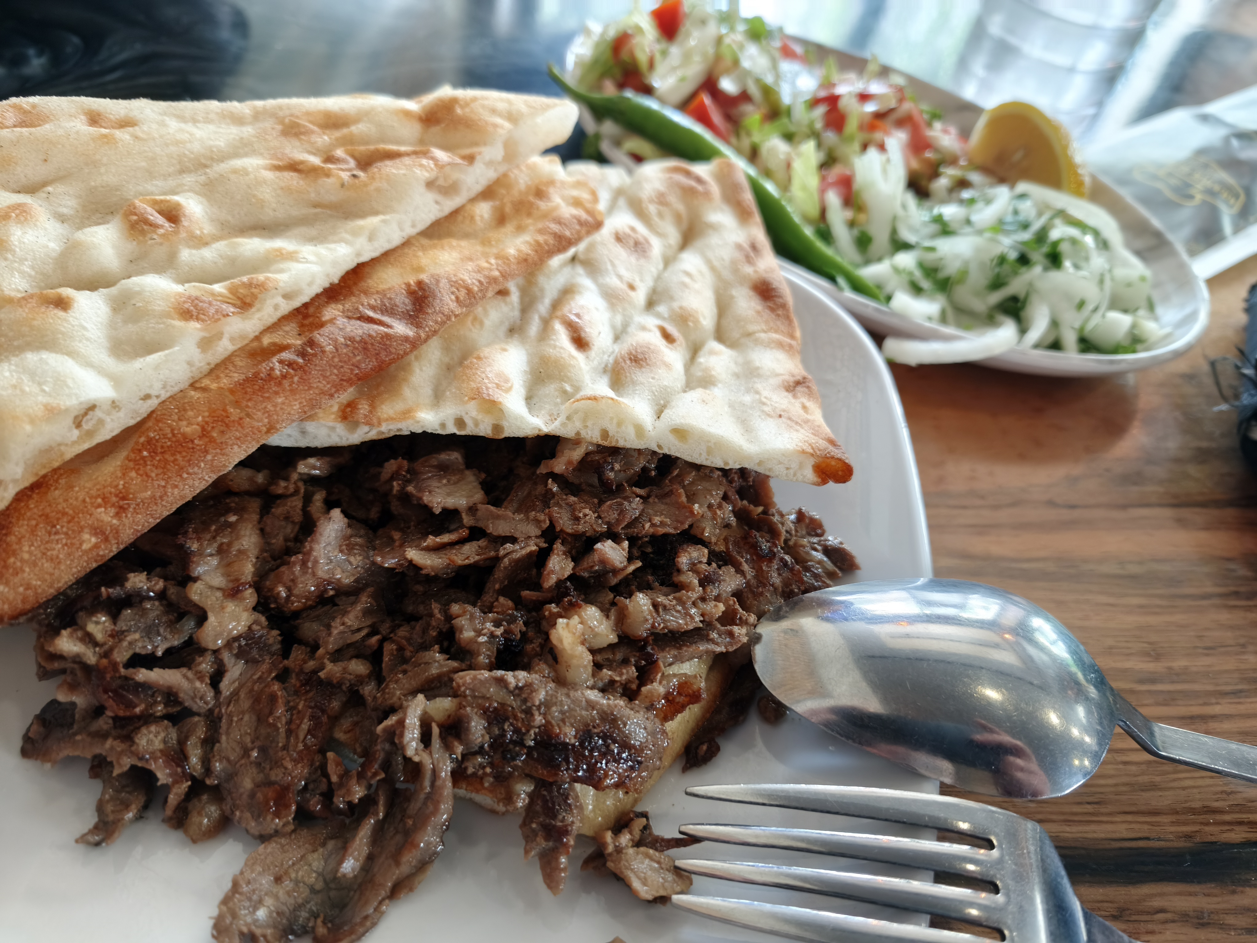
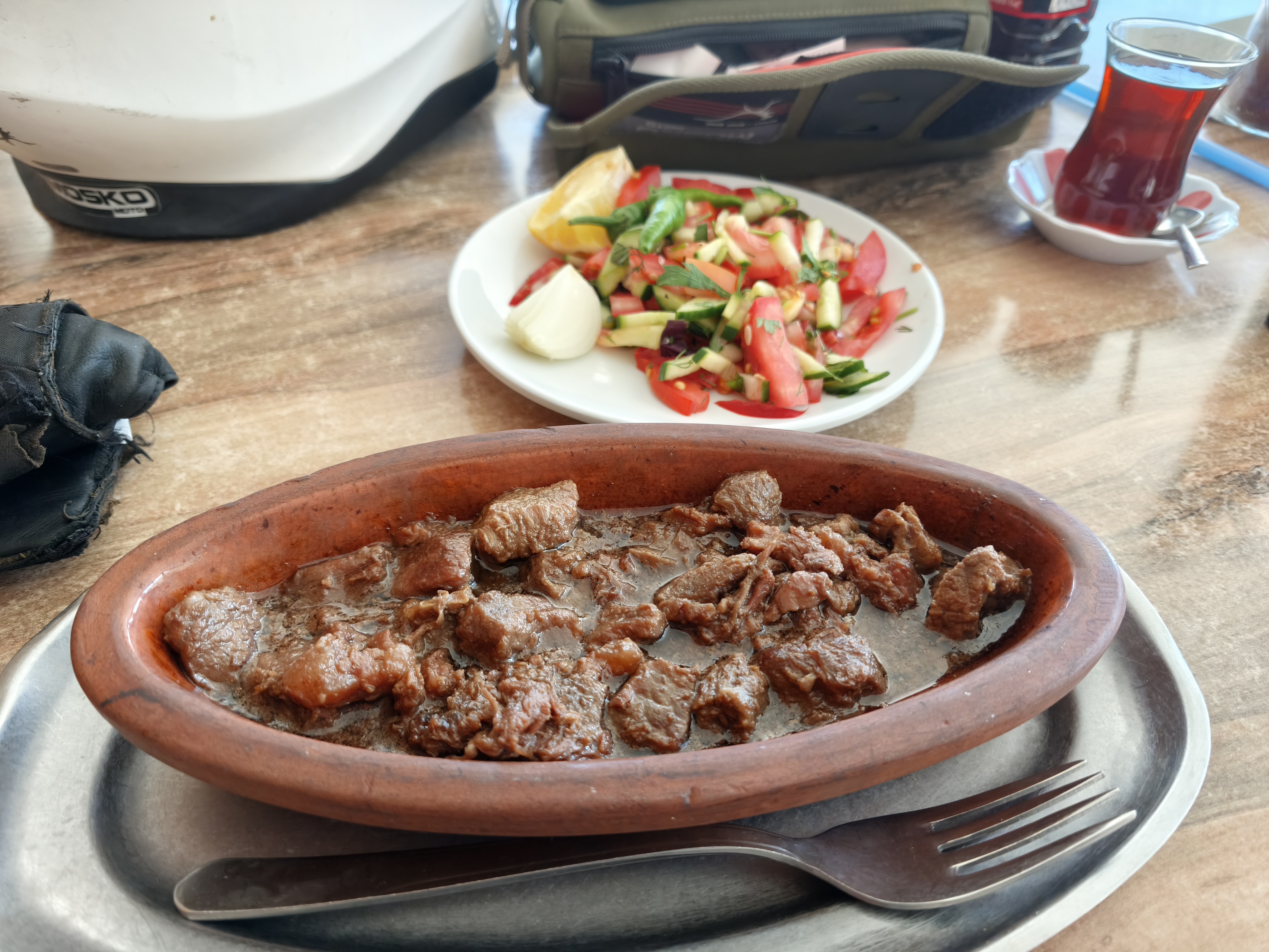
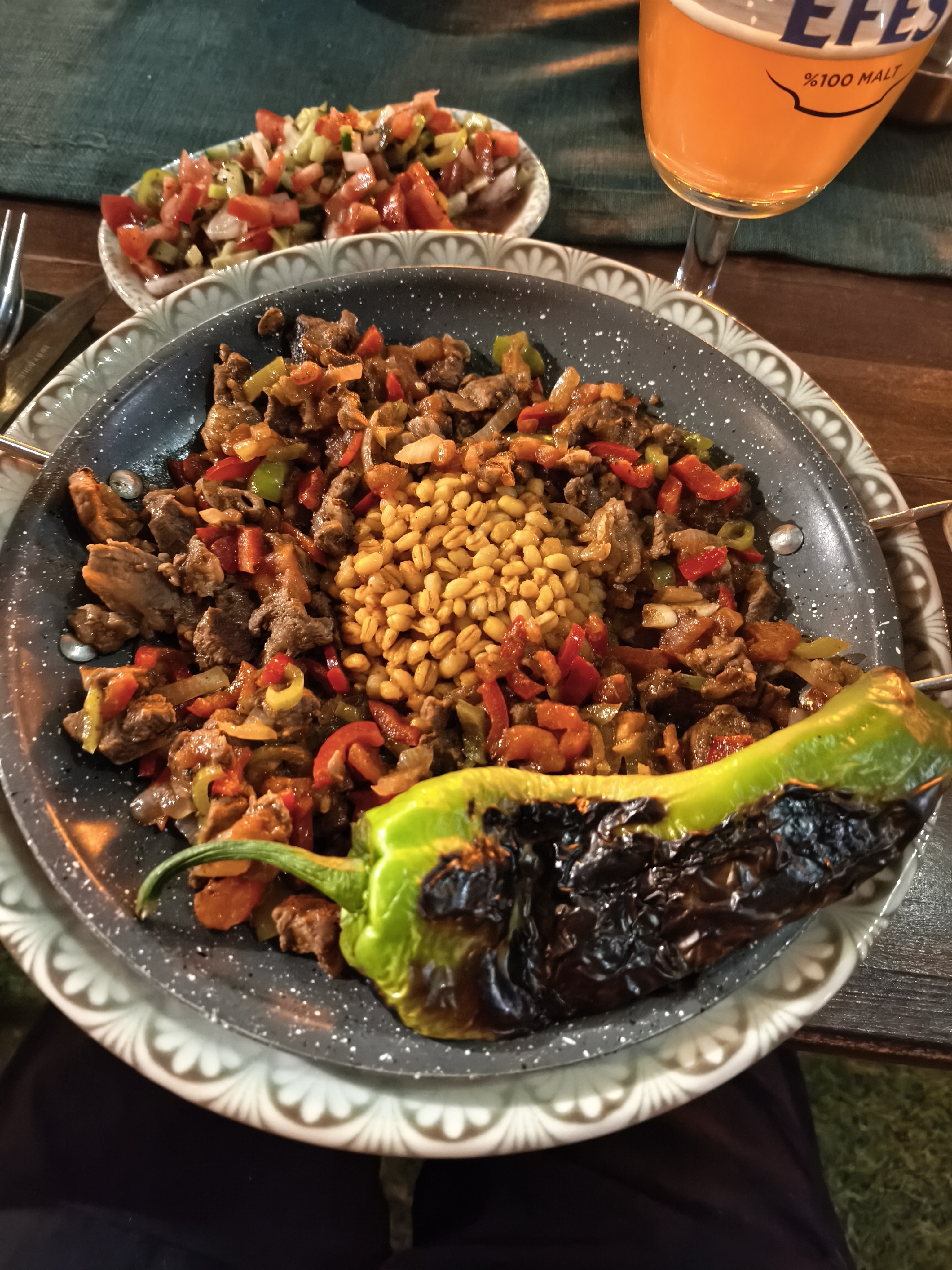
Arrival in Erzurum, a high-altitude city with an austere charm, boasting a remarkable historic quarter around its 12th-century madrasa. Late afternoon dedicated to motorcycle maintenance with a local specialist, followed by the essential tasting of local culinary specialties, including the famous Cağ Kebabı (marinated lamb roasted horizontally).
Poursuite de la traversée des hauts plateaux caucasiens dans l’air frais du matin avant de plonger dans de profondes gorges. Près d’Oltu, de superbes montagnes aux roches ocre et multicolores créent un contraste saisissant avec le vert tendre des cultures de la vallée.
Arrivée à Erzurum, cité d’altitude au charme austère mais possédant un quartier historique remarquable autour de sa médersa du XIIe siècle. Fin d’après-midi consacrée à l’entretien de la moto chez un spécialiste local, suivi de l’indispensable dégustation des spécialités culinaires locales, dont le célèbre Cağ Kebabı (agneau mariné rôtit à l’horizontale).
Day #15: Erzurum – Lake Van. Distance: 525 km (475 km Road / 50 km Off-road track)
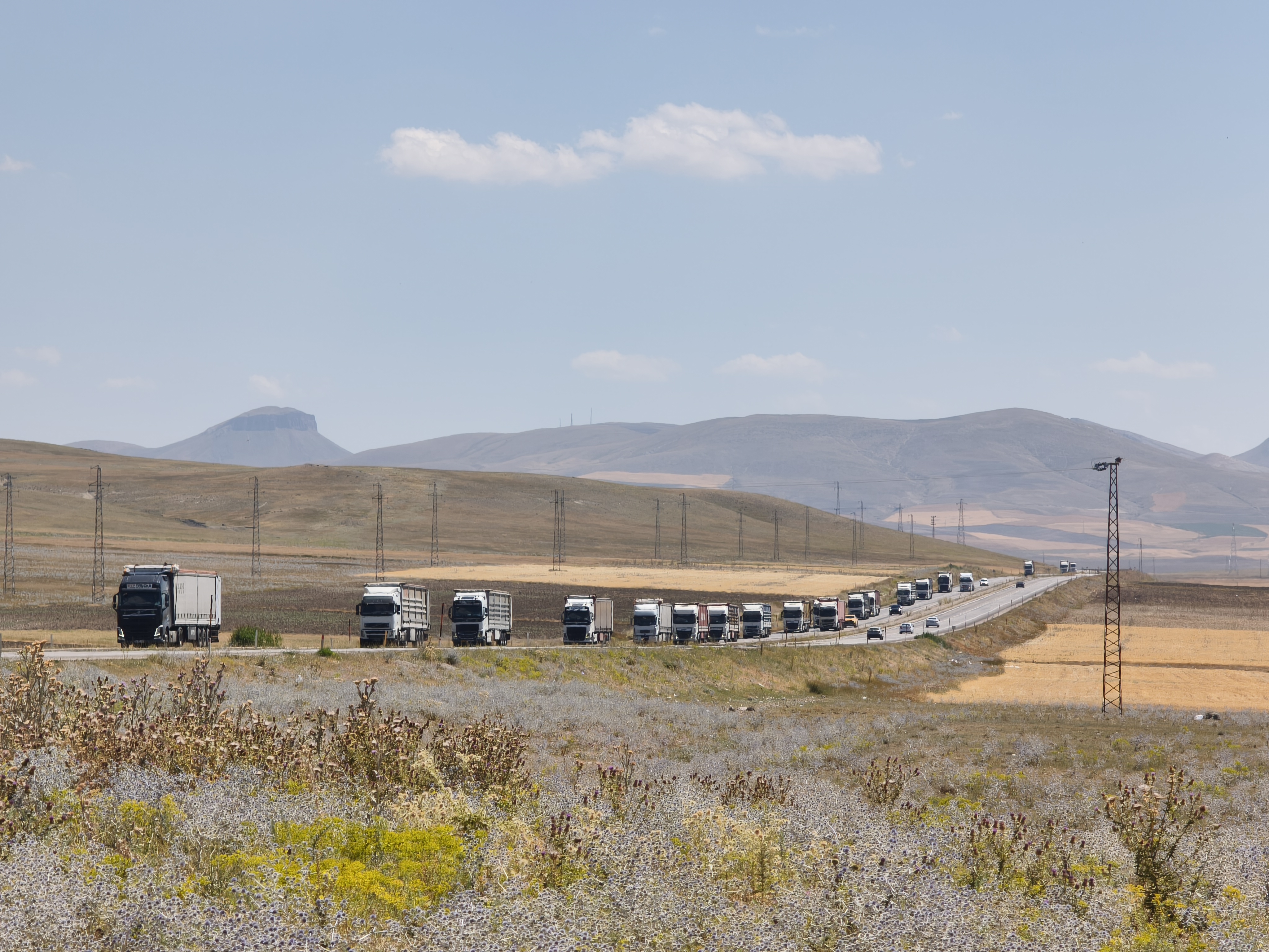
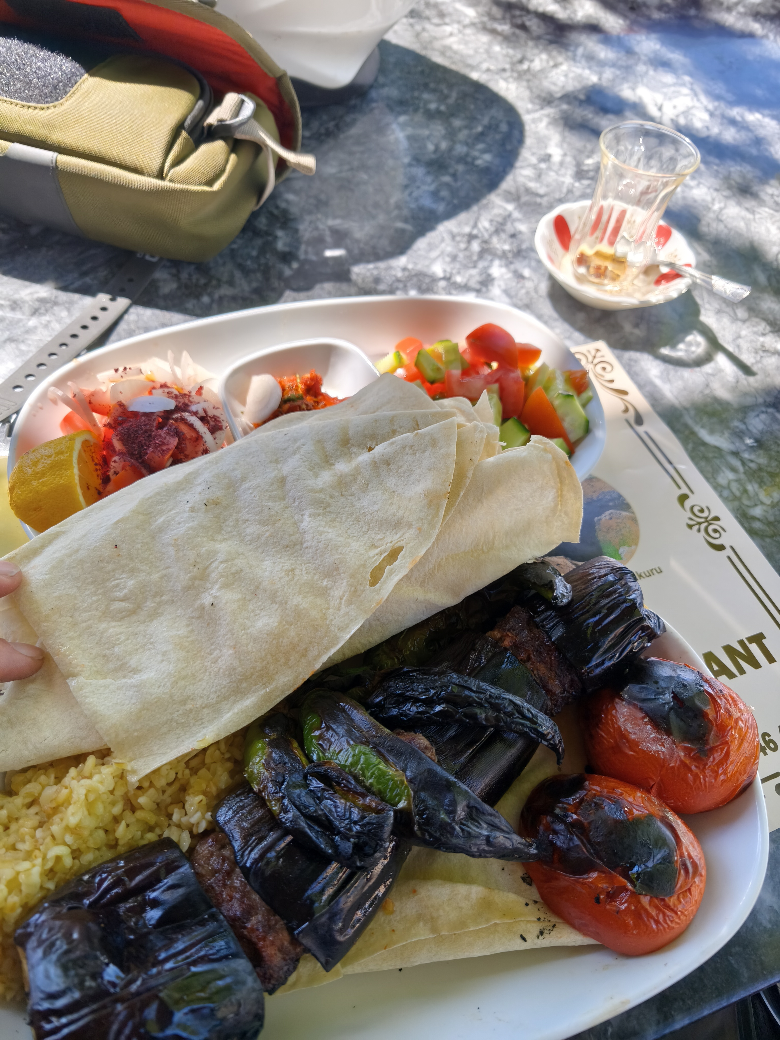
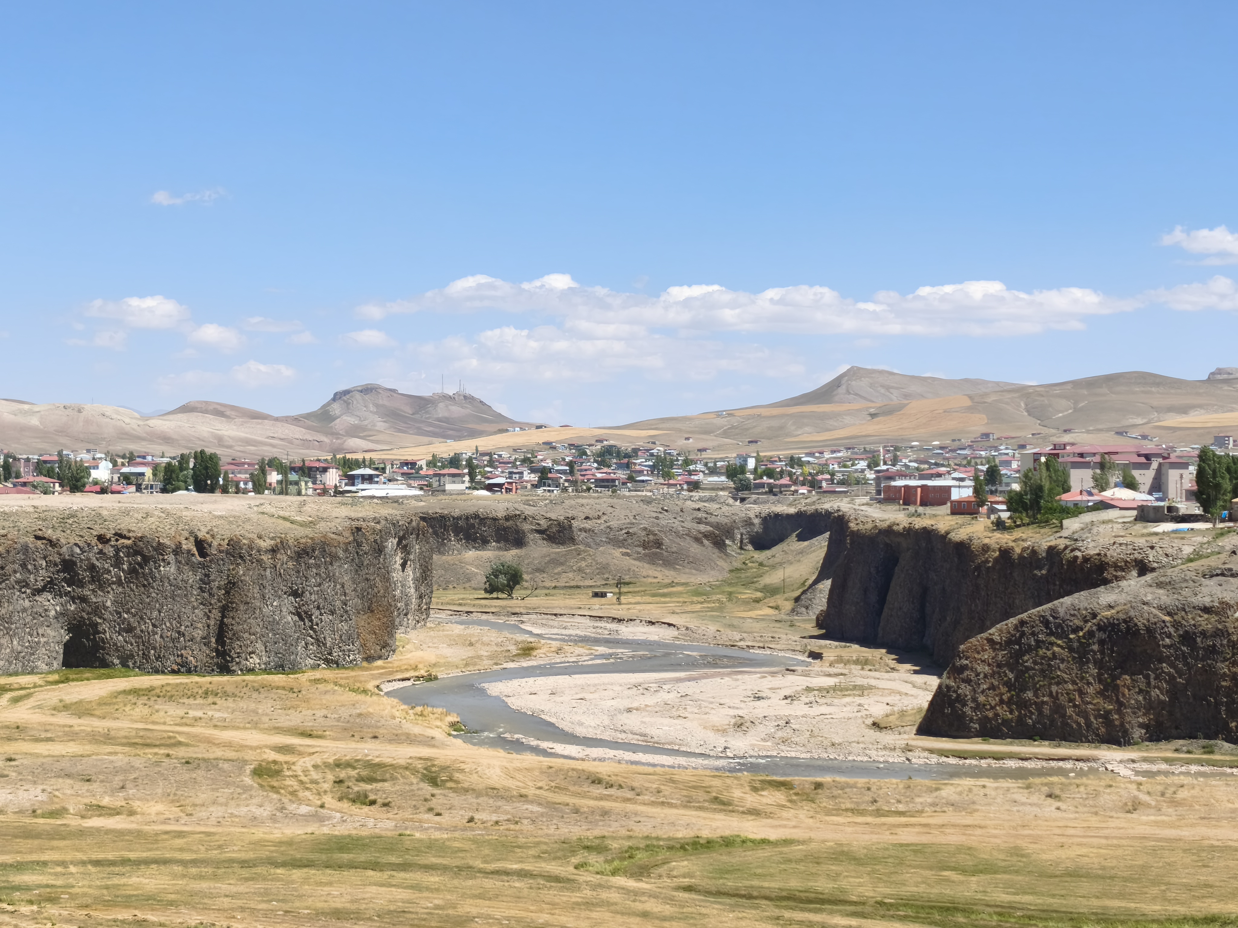
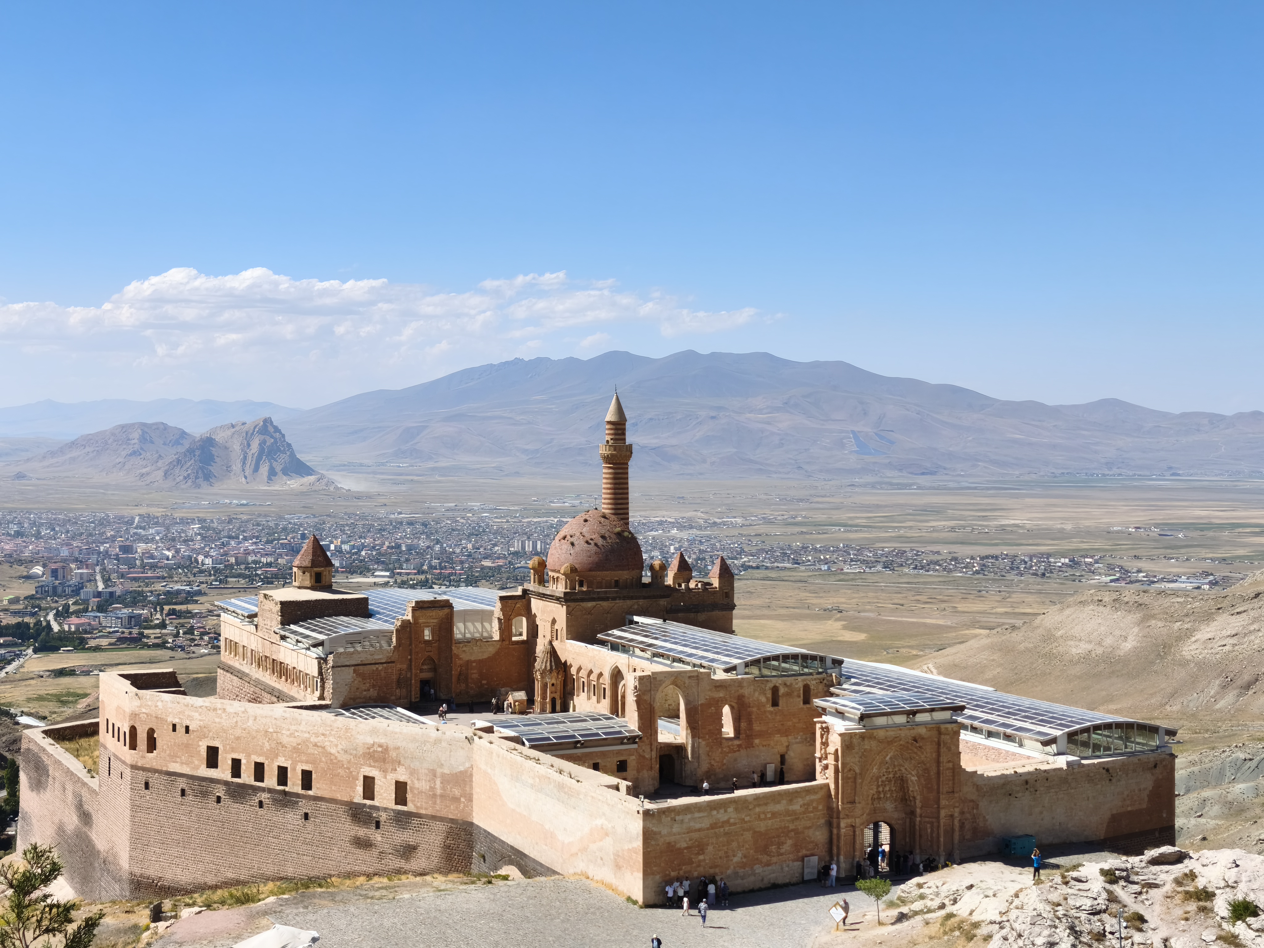
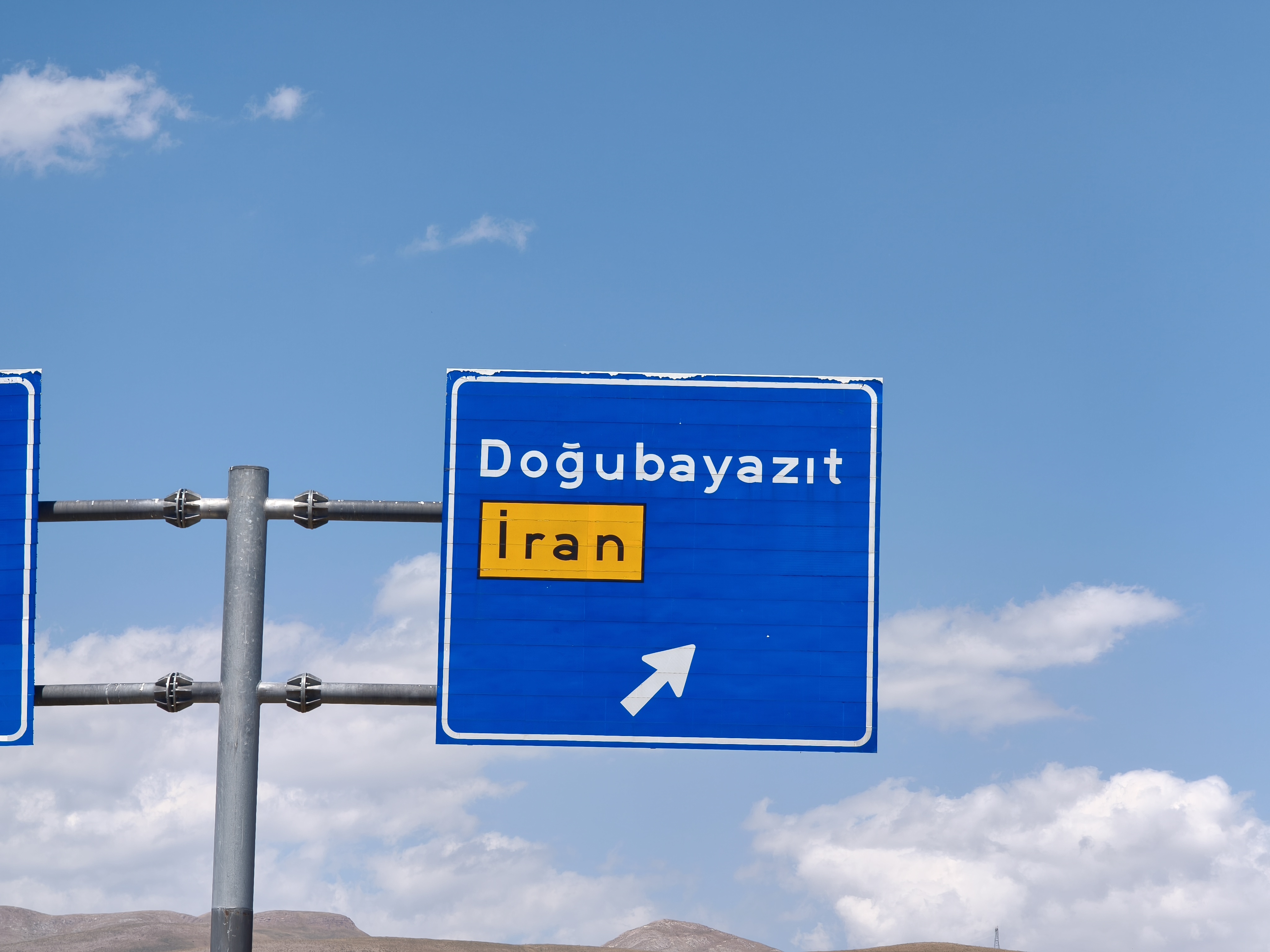
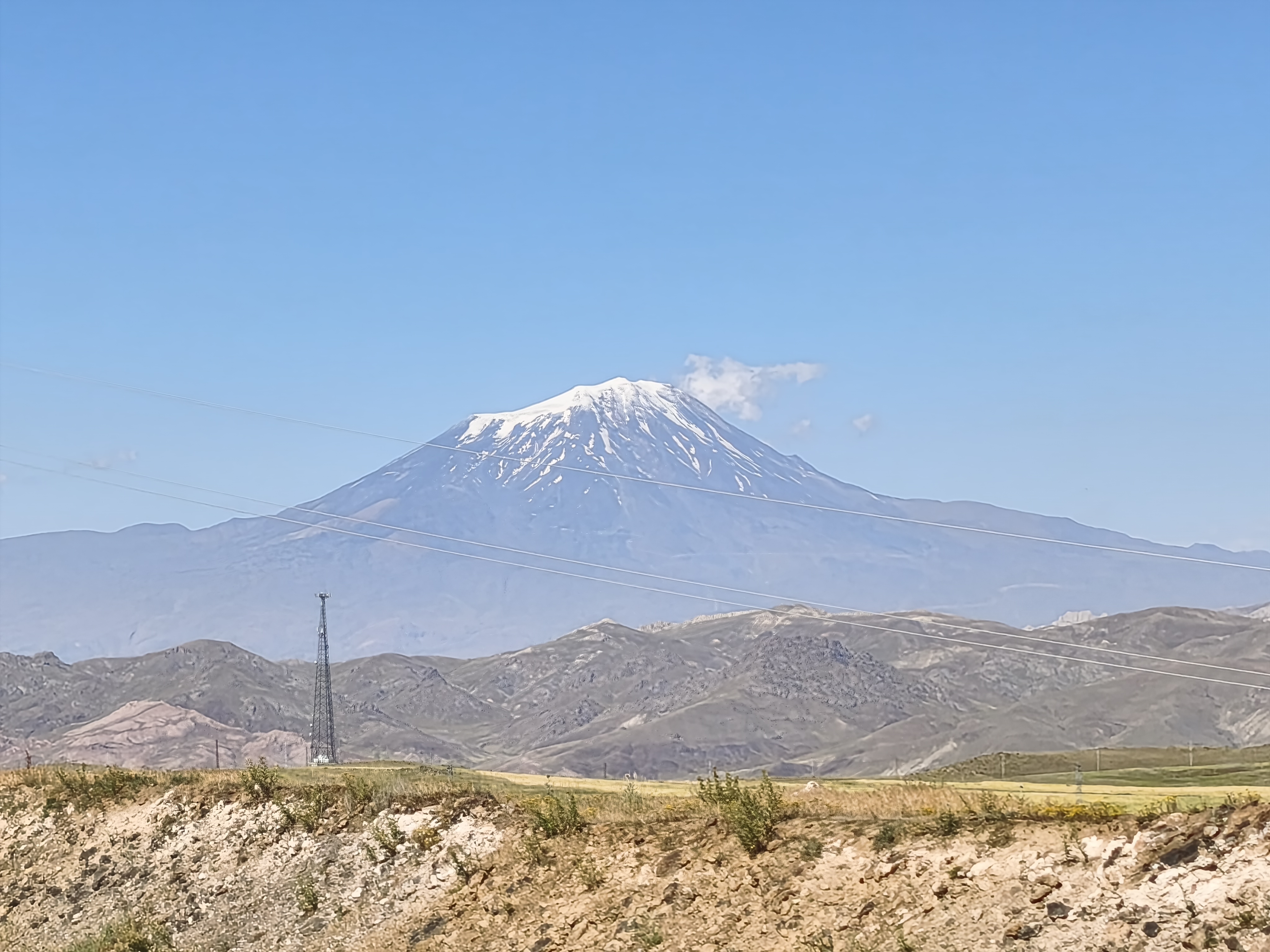
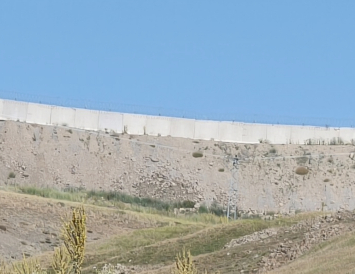
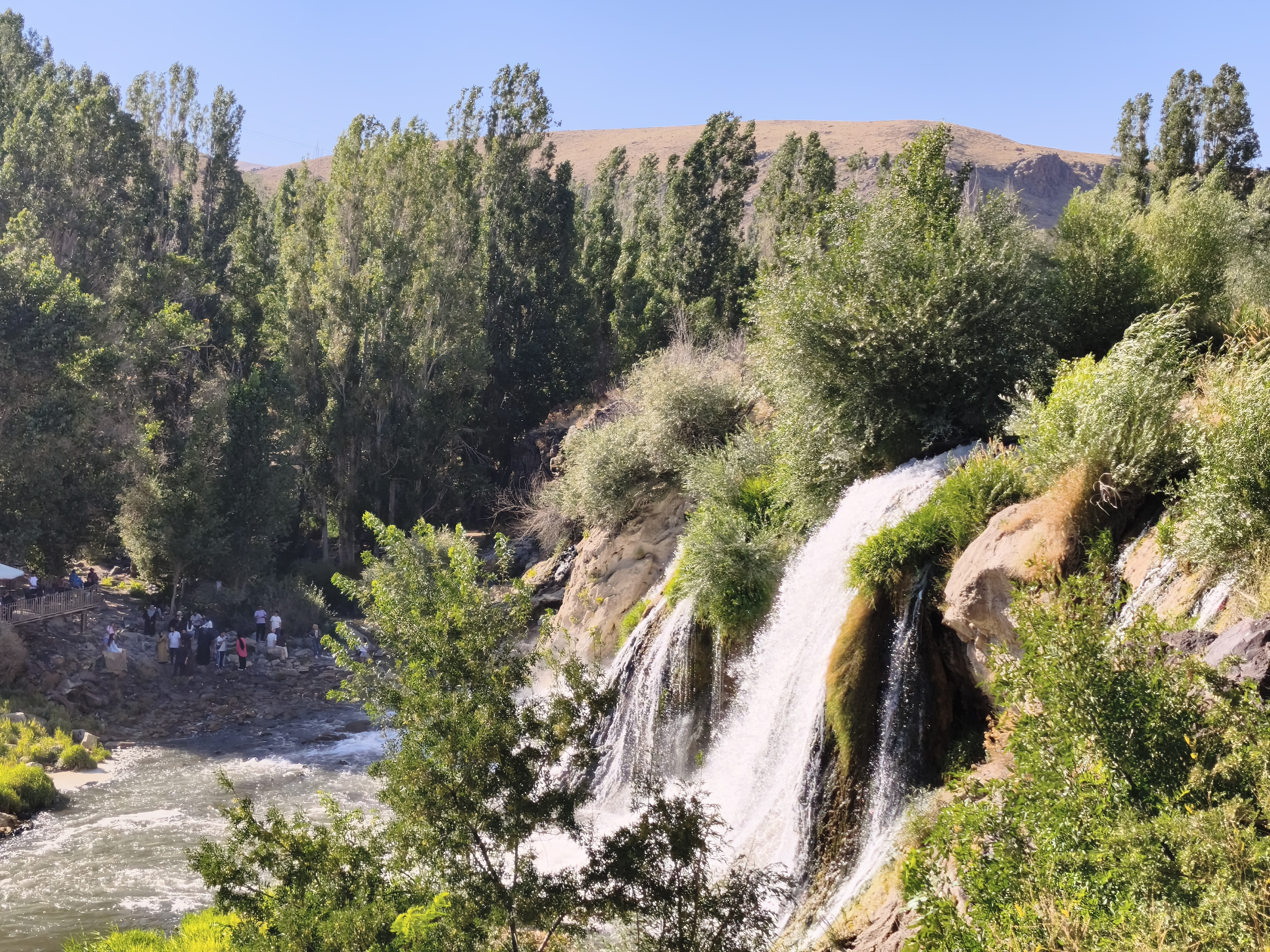
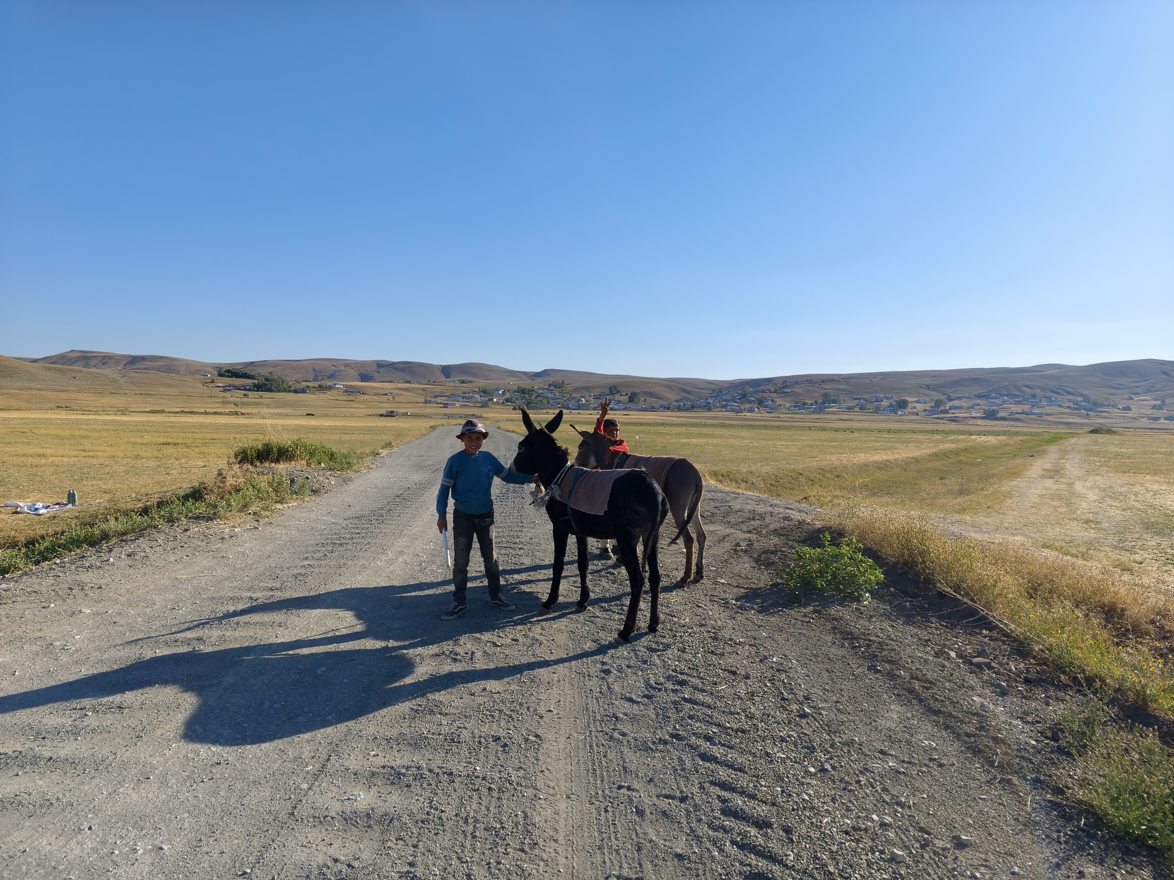
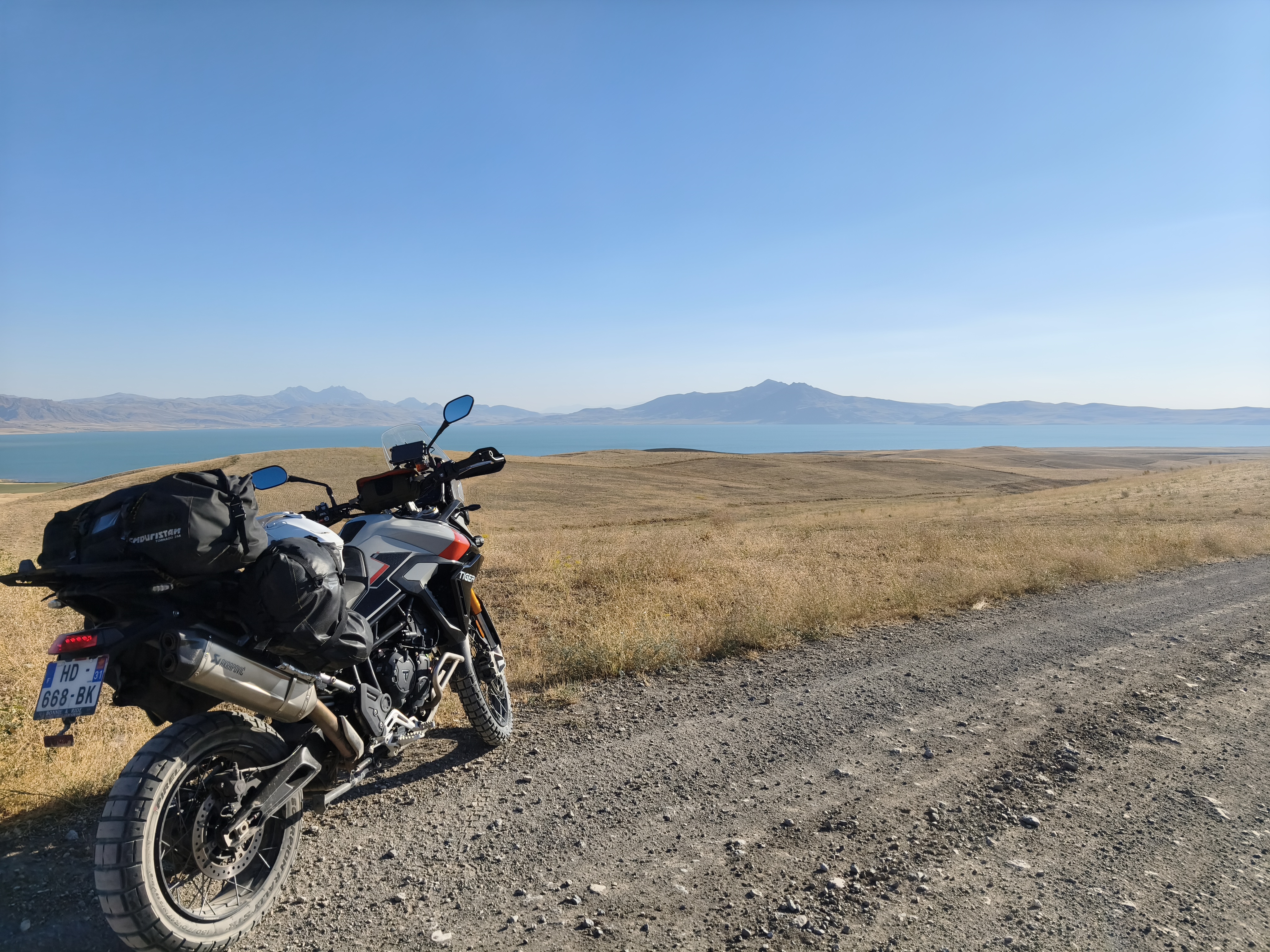
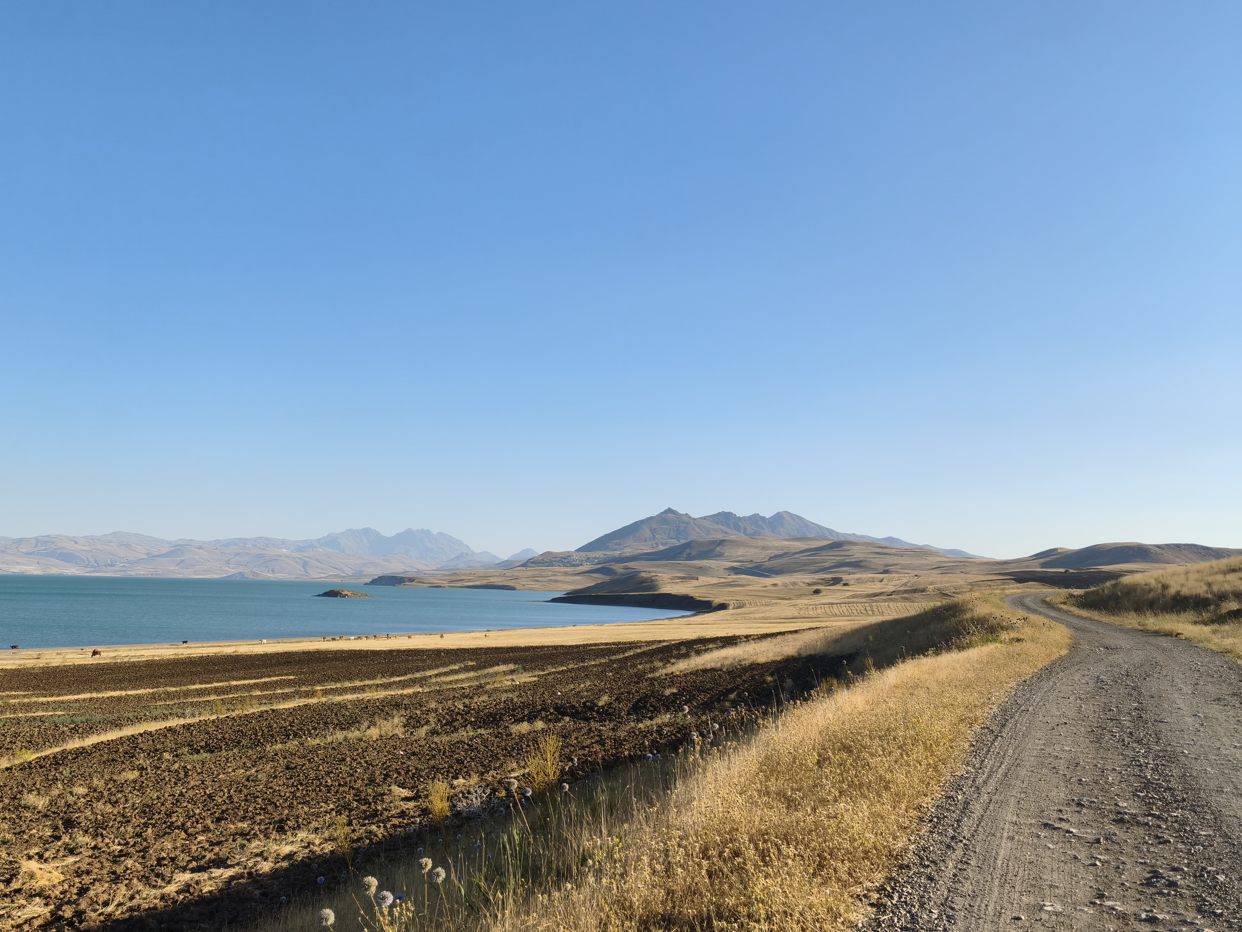
A very long riding day, staying constantly between 1,500 m and 3,000 m in altitude all the way to the Iranian border. Military checkpoints are frequent, but the security forces are warm and curious to chat with the rare passing motorcyclists.
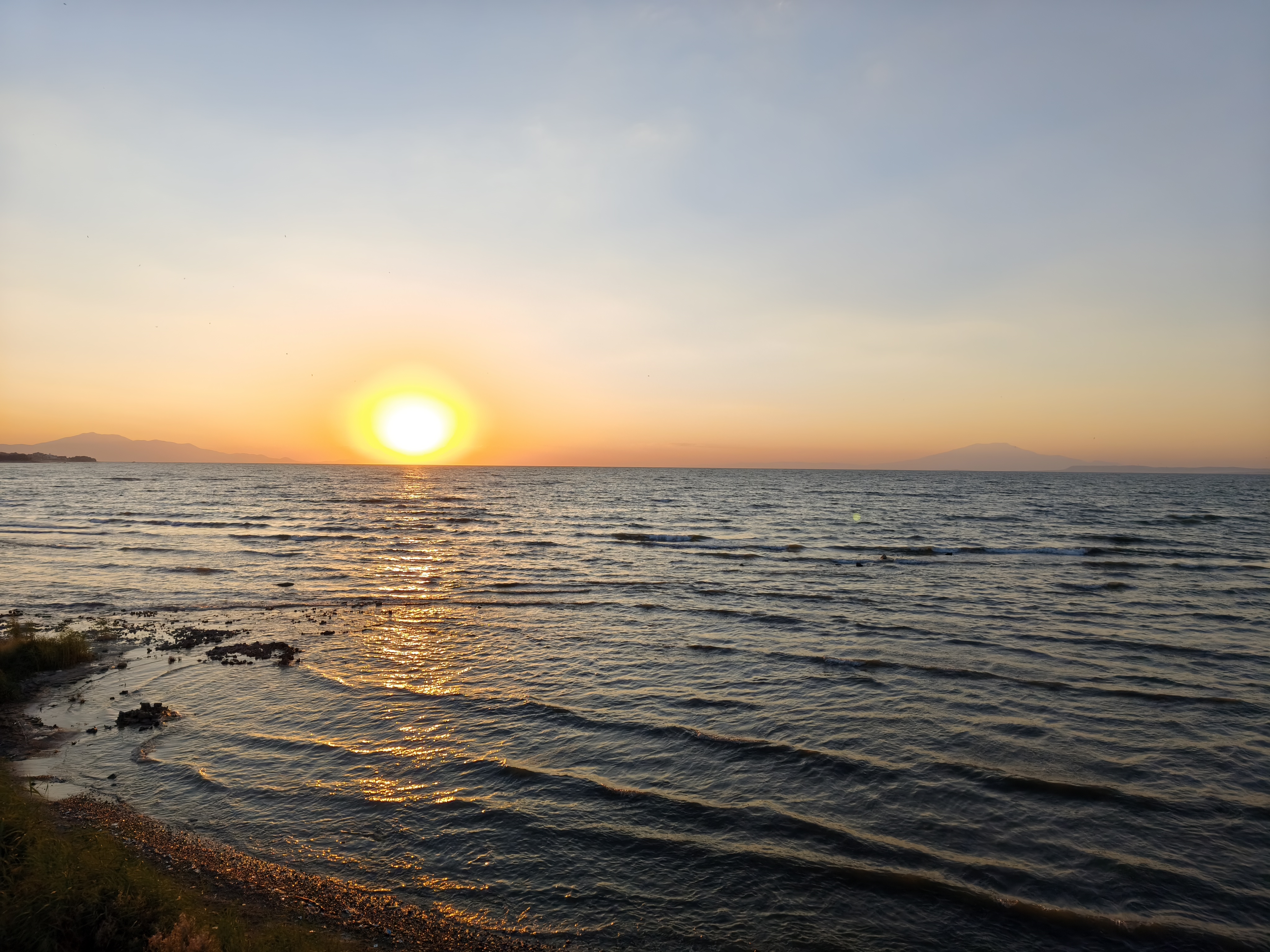
The easternmost point of the trip: a lunch stop facing the sumptuous İshak Paşa Palace, perched on its hill opposite Mount Ararat. Standing at 5,137 meters, its snow-capped dome is the highest peak I have ever seen with my own eyes. Heading back south, the concrete wall separating Turkey from Iran rises a few hundred meters to my left, while on my right, conglomerates of sharp black rock reveal the latest eruption of Mount Tendürek—lower than its neighbor, but equally impressive. I cruise between these volcanoes on a dual carriageway dotted with checkpoints, as security forces worry about people staying too long or venturing too close to the border wall. Leaving the main roads behind, I treat myself to a magical off-road session around Lake Erçek, exchanging a few words in sign language with local villagers. Arrival at Lake Van just in time for sunset over the crater of Mount Nemrut.
Une très longue journée de roulage, restant constamment entre 1 500 m et 3 000 m d’altitude jusqu’aux frontières iraniennes. Les contrôles militaires sont fréquents mais les forces de sécurité sont chaleureuses et curieuses d’échanger avec les rares motards de passage.
Point le plus oriental du voyage : pause déjeuner face au somptueux palais d’İshak Paşa, posé sur sa colline face au mont Ararat. Du haut de ses 5 137 mètres, son dôme enneigé est le plus haut sommet que j’ai pu observer de mes propres yeux. En repartant vers le sud, le mur de béton séparant la Turquie de l’Iran se dresse à quelques centaines de mètres sur ma gauche, alors que sur ma droite, des conglomérats de roches noires acérées révèle la dernière effusion du volcan Tendürek, moins haut que son voisin, mais très impressionnant également. Je file entre ces volcans sur une voie rapide parsemées de checkpoints, les forces de l’ordre redoutant que l’on y reste trop longtemps ou que l’on s’aventure trop près du mur de frontière. Quittant les grands axes, je m’offre une session off-road magique autour du lac Erçek, échangeant quelques mots en langage des signes avec les villageois. Arrivée au lac de Van juste à temps pour le coucher du soleil sur le cratère du volcan Nemrut.
Day #16: Lake Van – Tunceli. Distance: 515 km (Road)
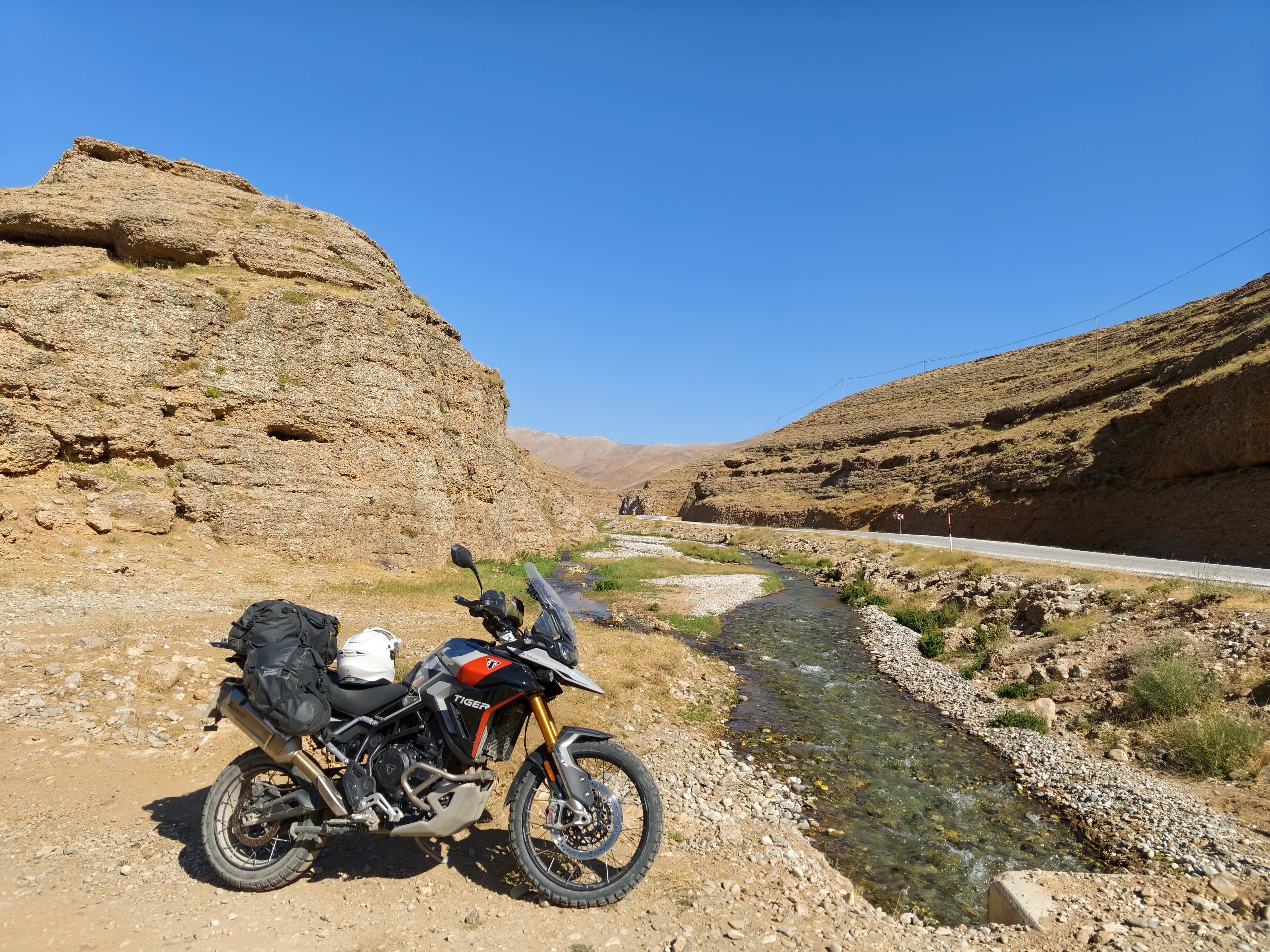
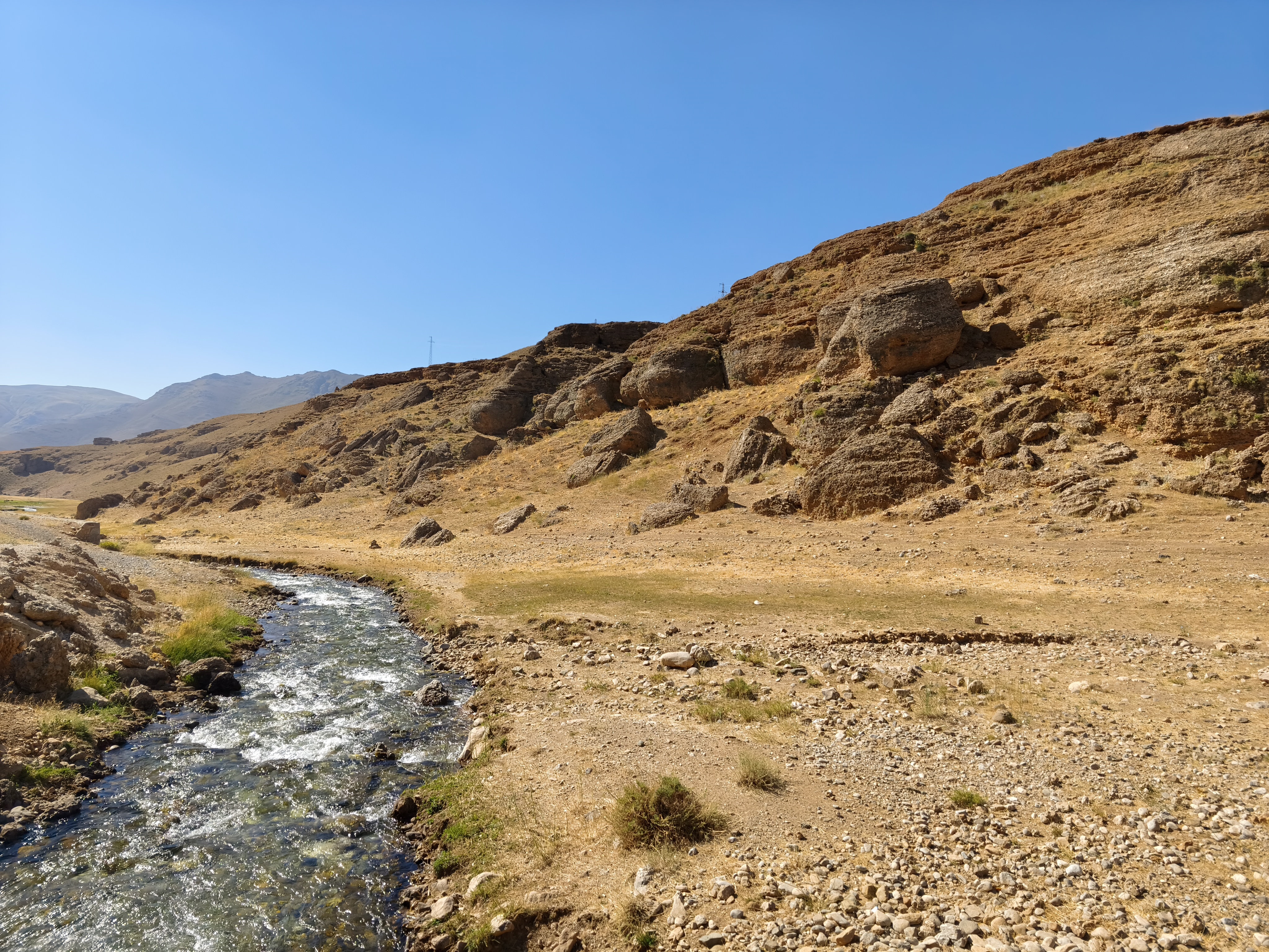
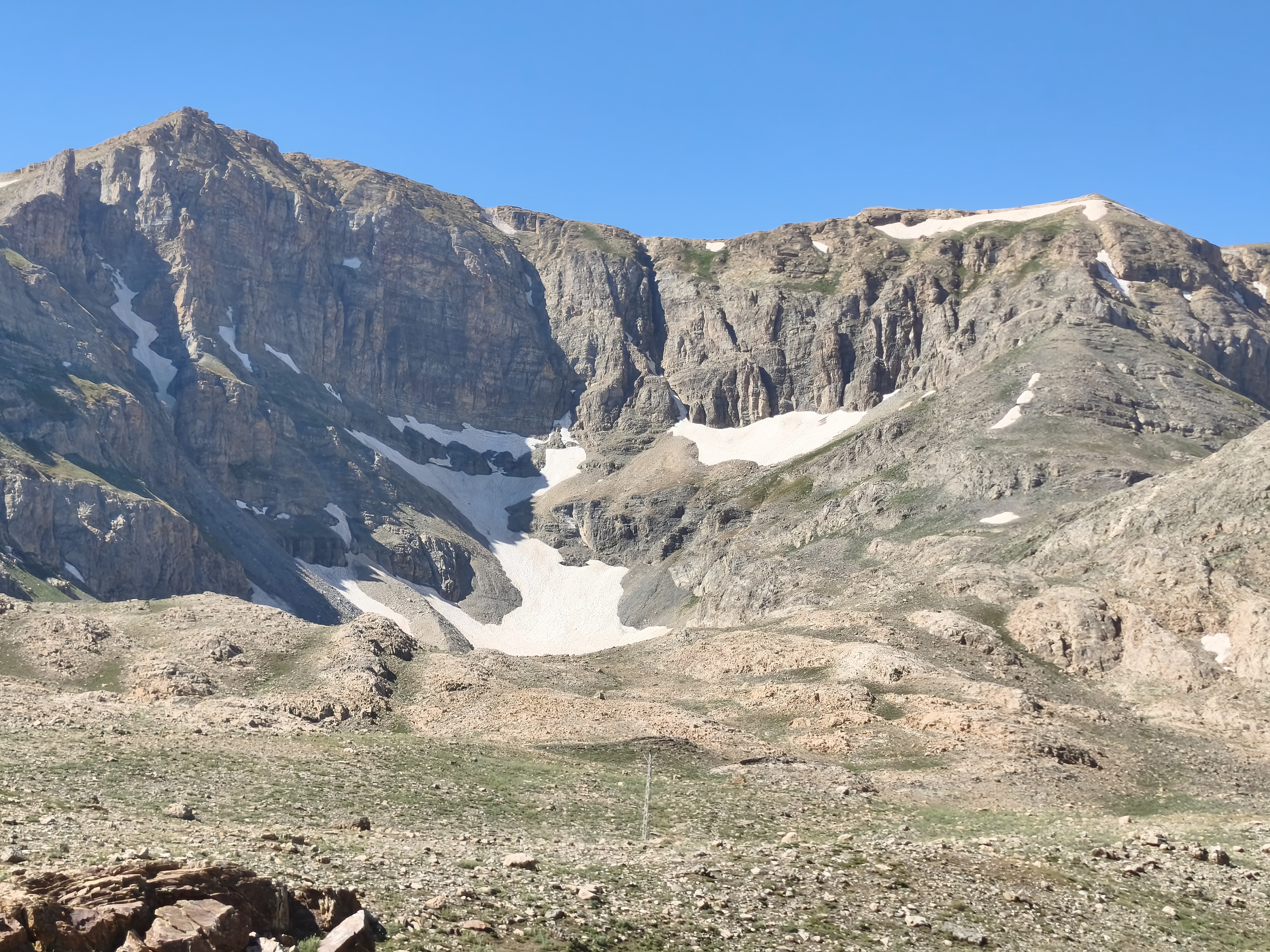
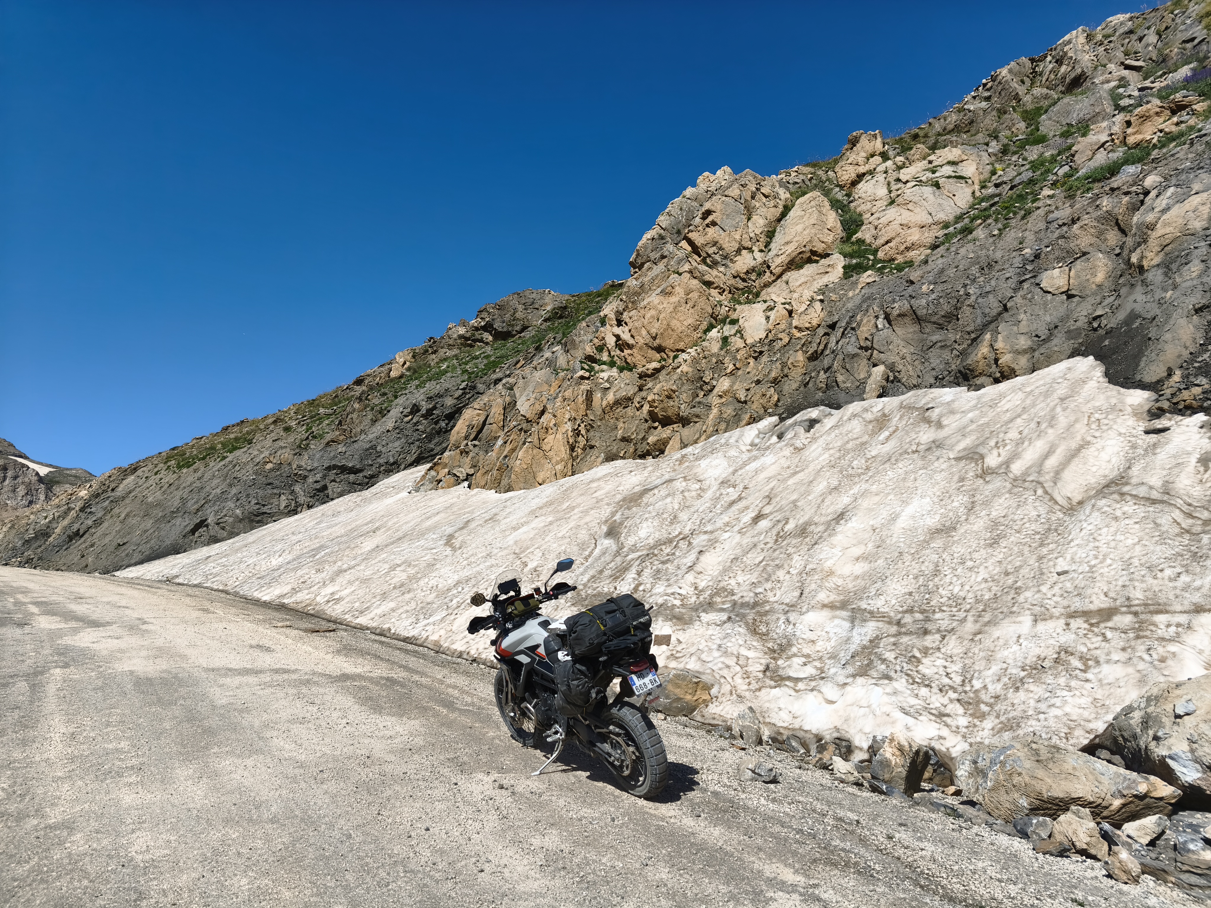
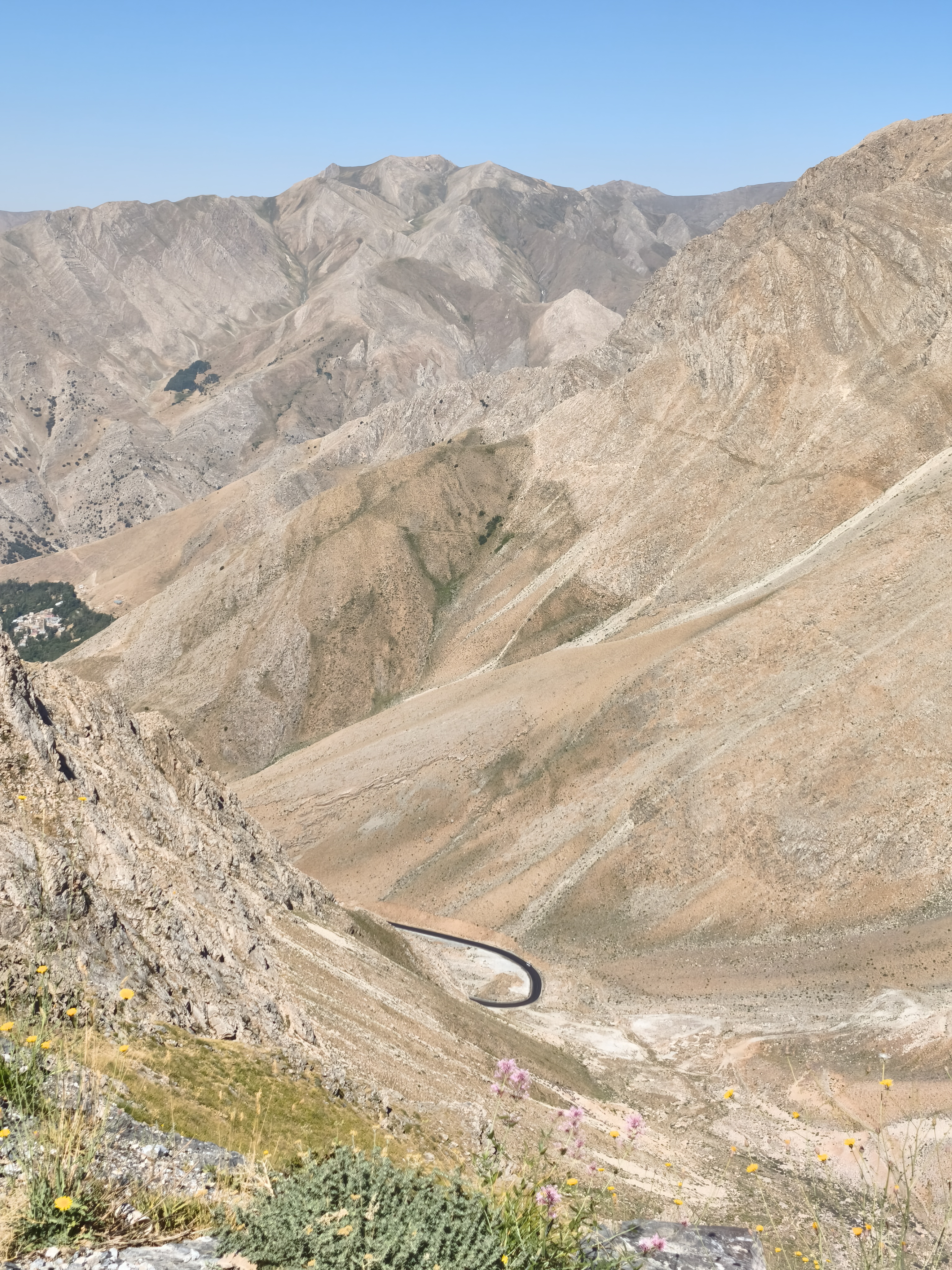
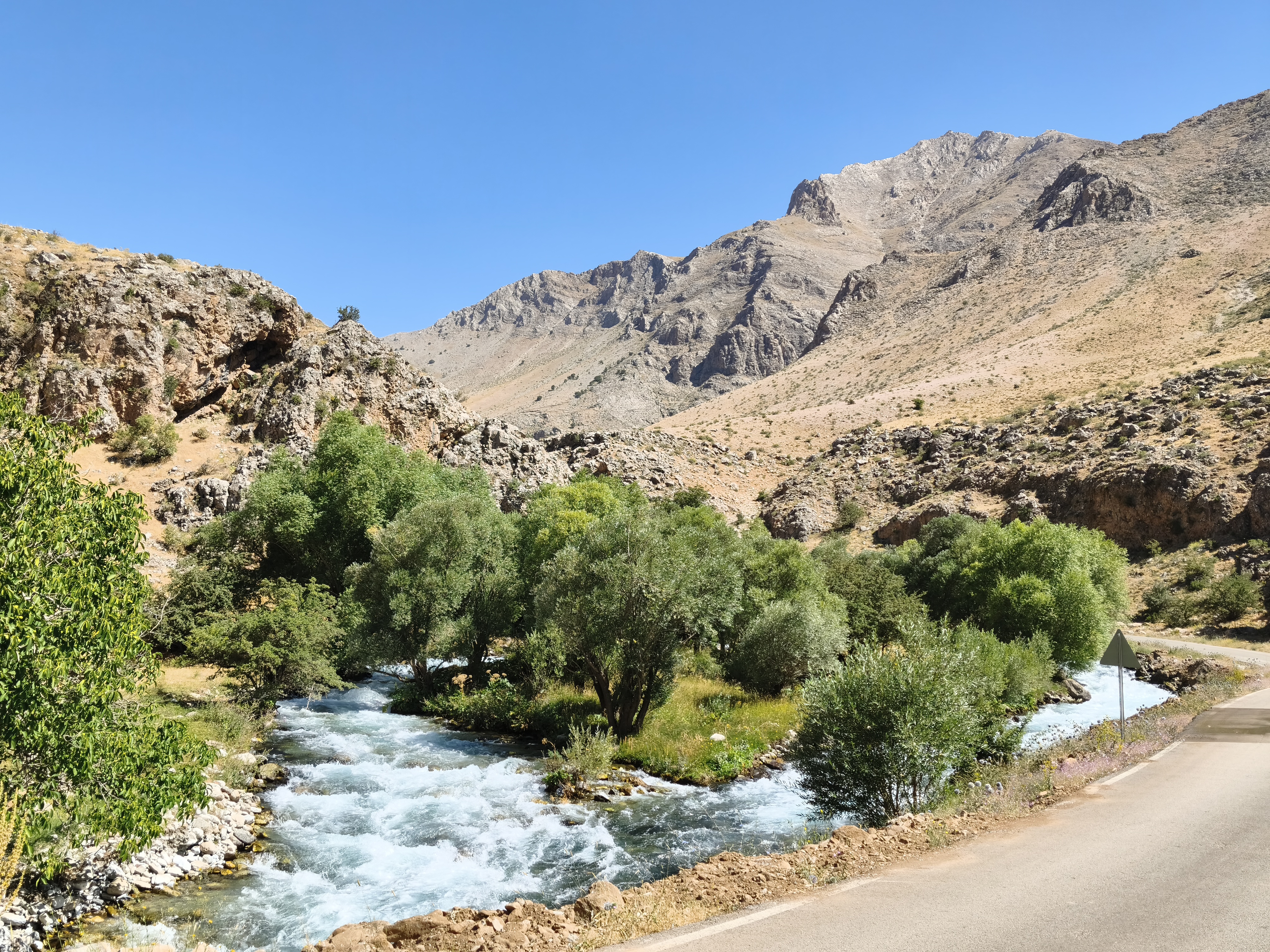
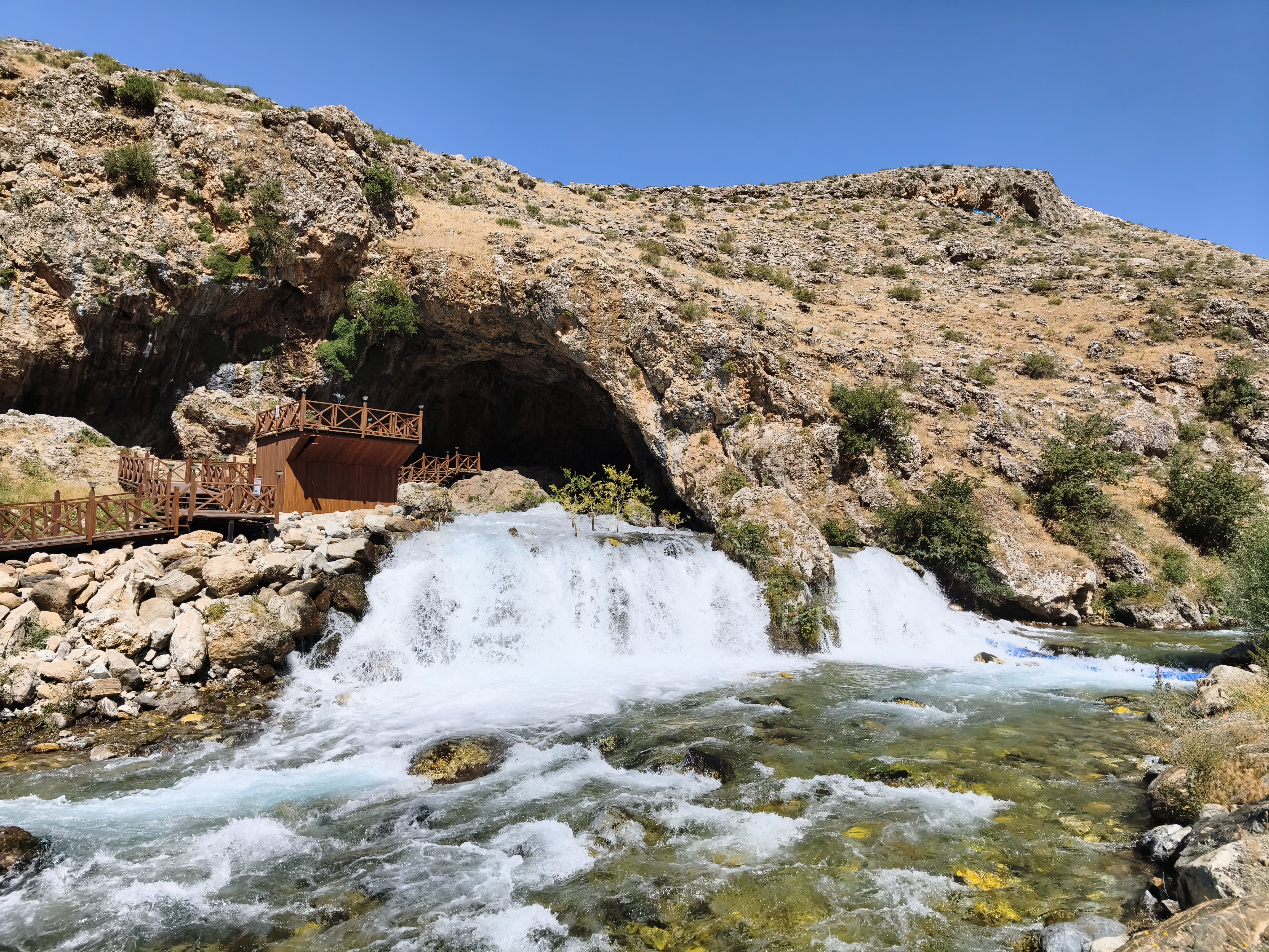
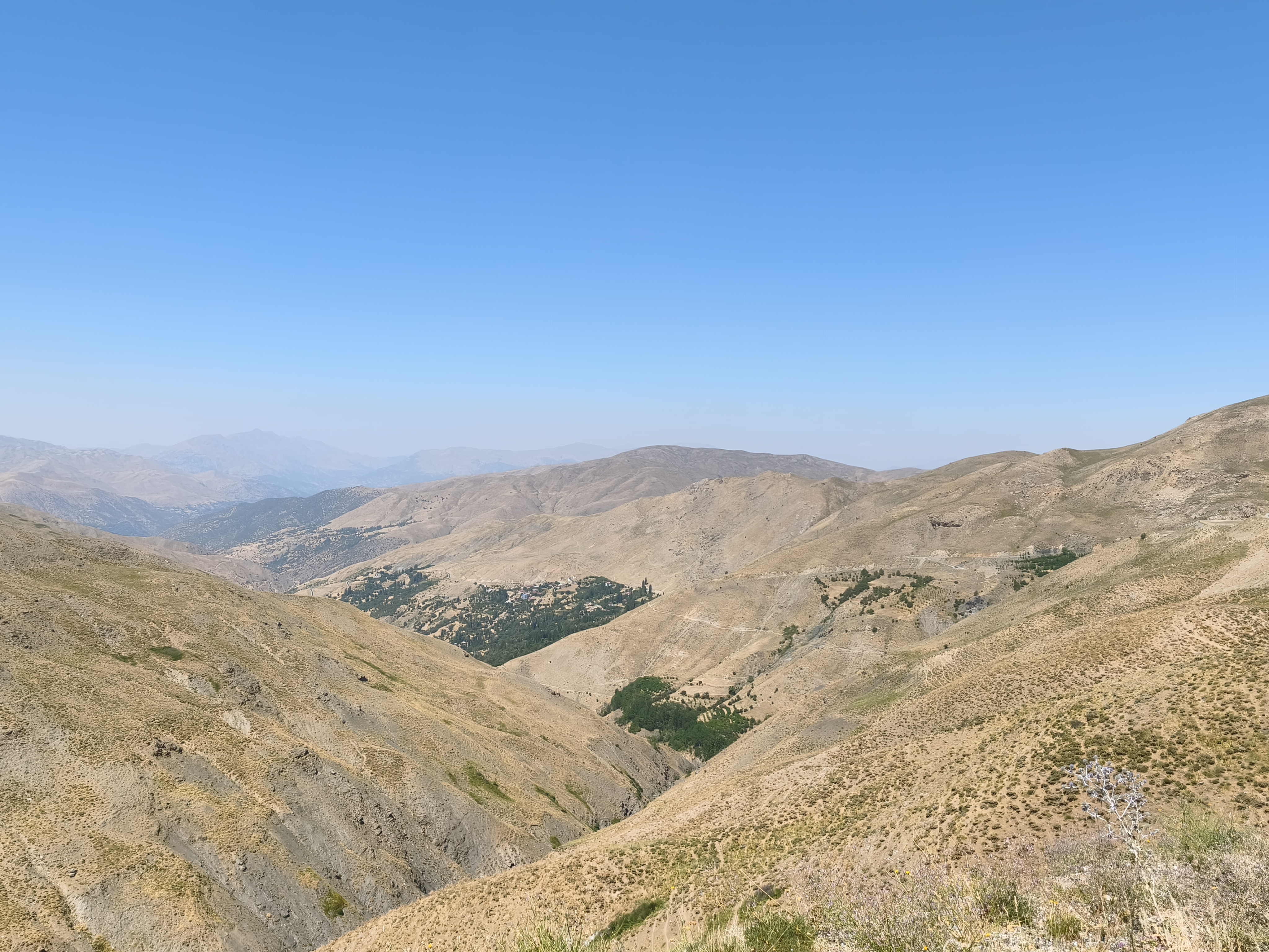
Another major leg where the heat makes a strong comeback. A magical morning along the shores of Lake Van at daybreak before climbing into the Eastern Taurus Mountains. An uninterrupted ascent brings me to Karabet Pass at 3,015 meters, my absolute altitude record on a motorcycle to date! Up there, snowpatches lie alongside nomadic shepherd camps.
The descent is staggering, through wild landscapes evocative of the mountains of Afghanistan. Checkpoint at the top of the next pass. I am held up for an hour, with no mobile network to use translation apps. The three soldiers eventually let me speak to a superior via their satellite phone. The officer explains that I am very welcome, but they have to ensure before letting me proceed that no « rebels » are hanging around somewhere along the upcoming descent. After 200 km, we reach Tatvan at the other end of the lake. The afternoon is more monotonous, cruising west on major highways toward Tunceli, punctuated by about ten more military checkpoints. Tunceli is a surprising city, with a very strong Alevi culture and an atmosphere vastly different from the rest of Eastern Anatolia. It feels like a living laboratory of transition in Eastern Anatolia.
Nouvelle grande étape où la chaleur fait son grand retour. Matinée magique le long des rives du lac de Van au lever du jour avant de grimper dans les monts du Taurus oriental. Une ascension ininterrompue me mène au col de Karabet à 3 015 mètres, mon record absolu d’altitude à moto à ce jour ! Là-haut, des névés côtoient les camps de bergers nomades.
La descente est étourdissante, à travers des paysages sauvages évoquant les montagnes d’Afghanistan. Checkpoint au sommet du col suivant. Je suis retenu une heure, avec une absence de réseau empêchant de pouvoir communiquer par application de traduction. Les 3 militaires finiront par me laisser communiquer avec un supérieur par leur téléphone satellitaire, ce monsieur m’expliquant que j’étais le bienvenu, mais qu’ils devaient s’assurer avant de me laisser repartir que des « rebelles » ne trainaient pas quelques part dans la prochaine descente. Après 200 km, nous atteignons Tatvan à l’autre bout du lac. L’après-midi est plus monotone, filant vers l’ouest sur de grands axes jusqu’à Tunceli, rythmée encore par une dizaine de checkpoints militaires. Tunceli est une ville surprenante, dotée d’une culture alevie très forte et d’une atmosphère très différente du reste de l’Anatolie orientale. Elle serait une sorte de laboratoire de la transition en Anatolie orientale.
Day #17: Tunceli – Mount Nemrut (Nemrut Dağı). Distance: 330 km (300 km Road / 30 km Off-road track)
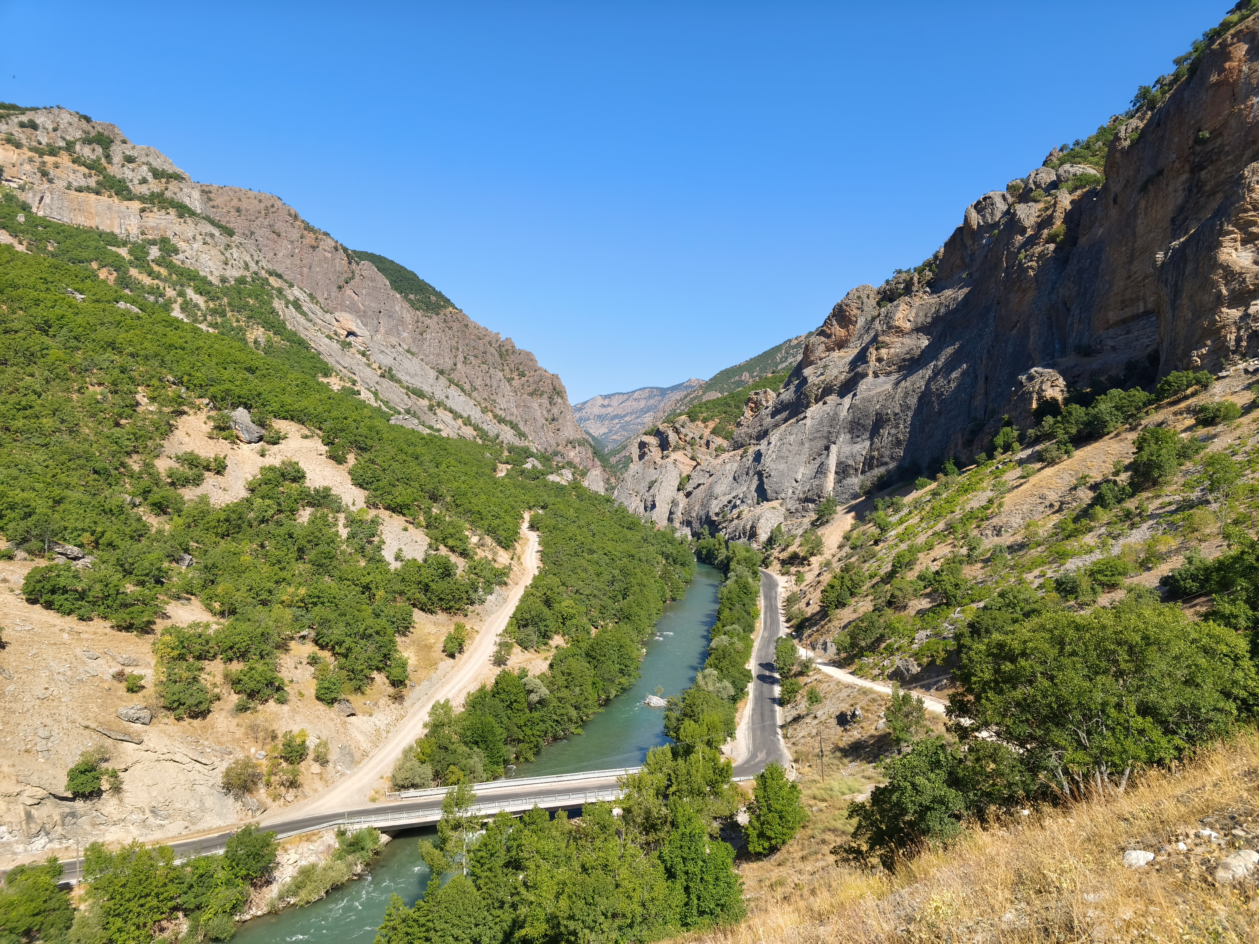
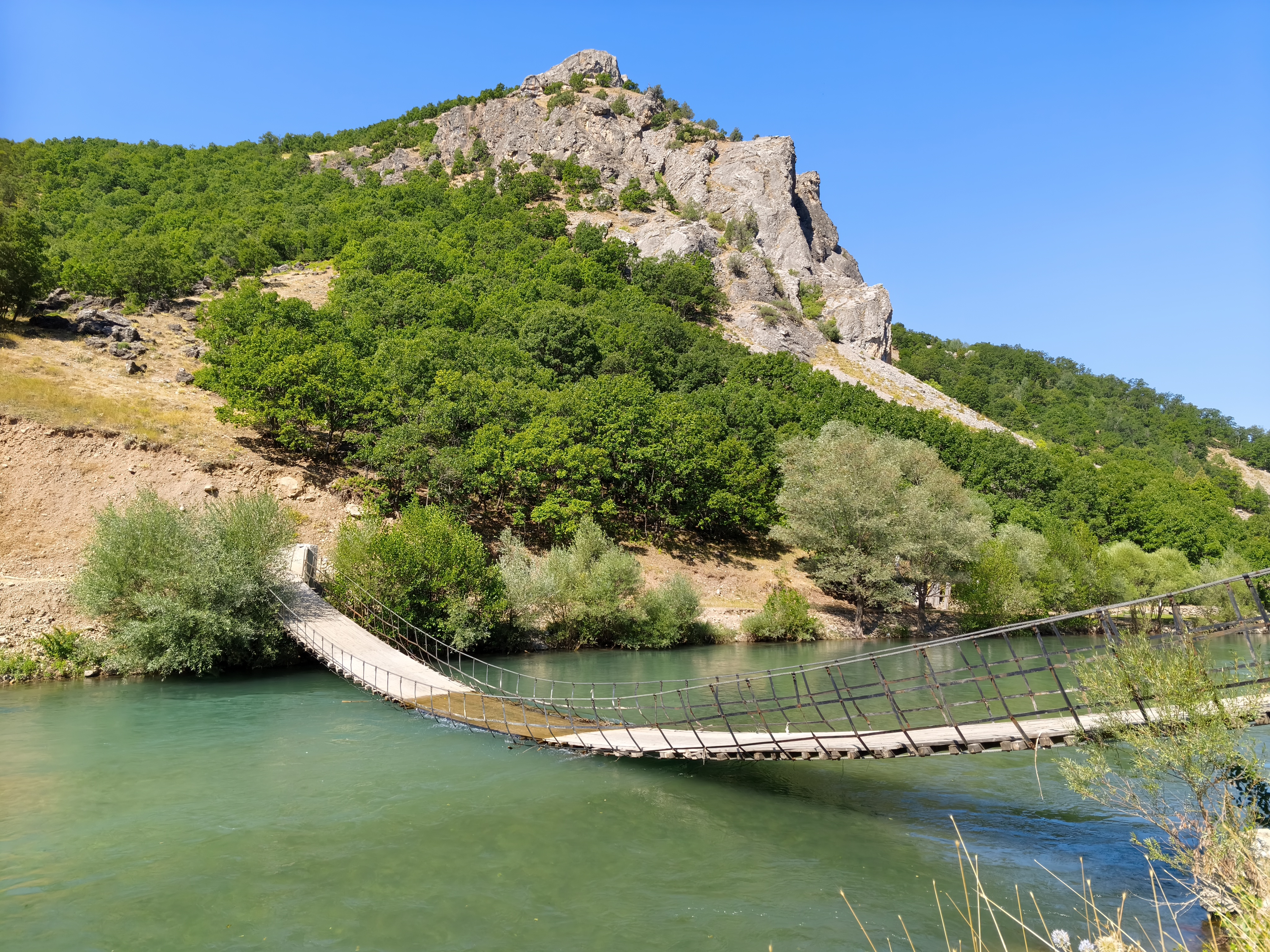
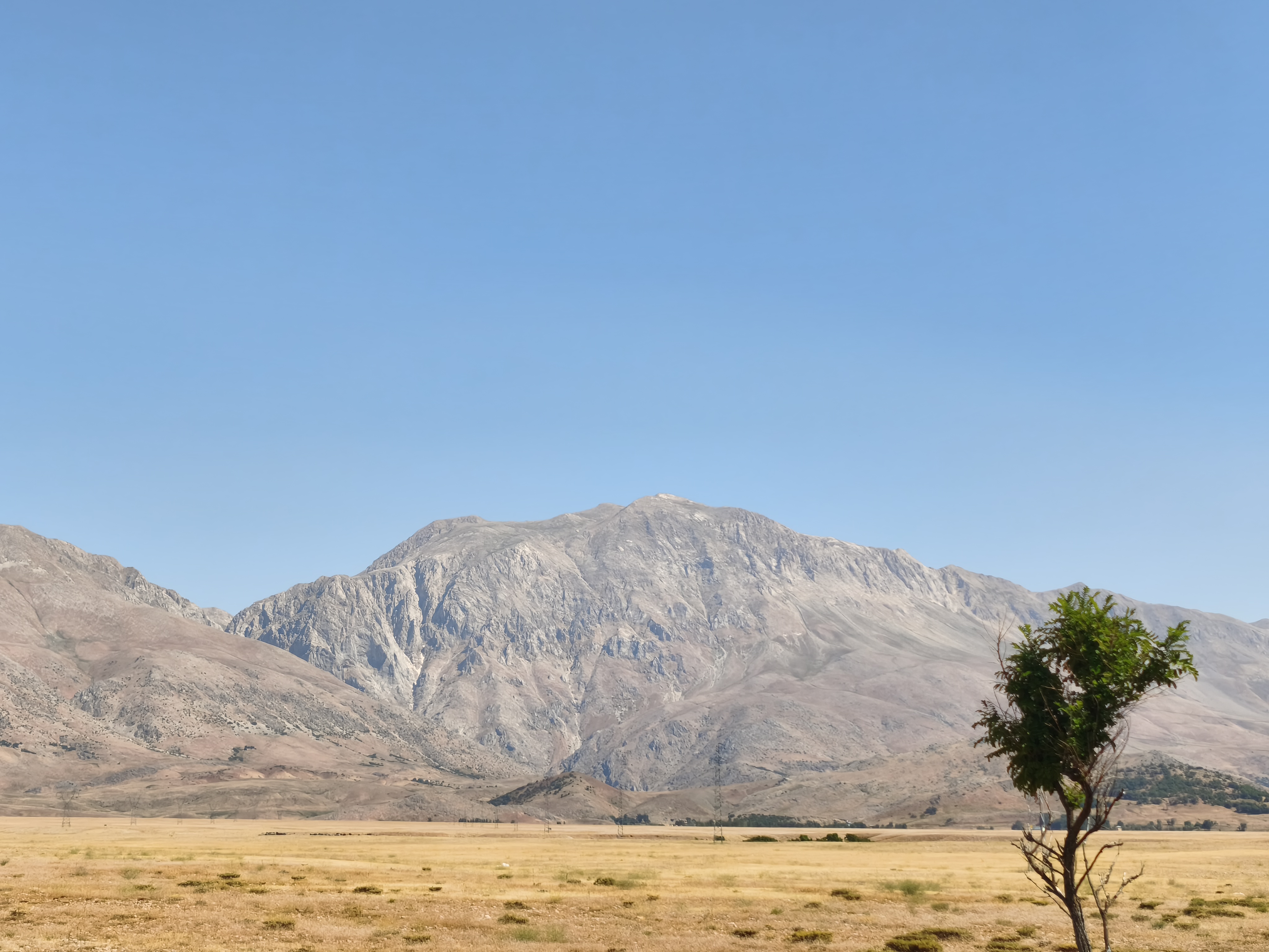
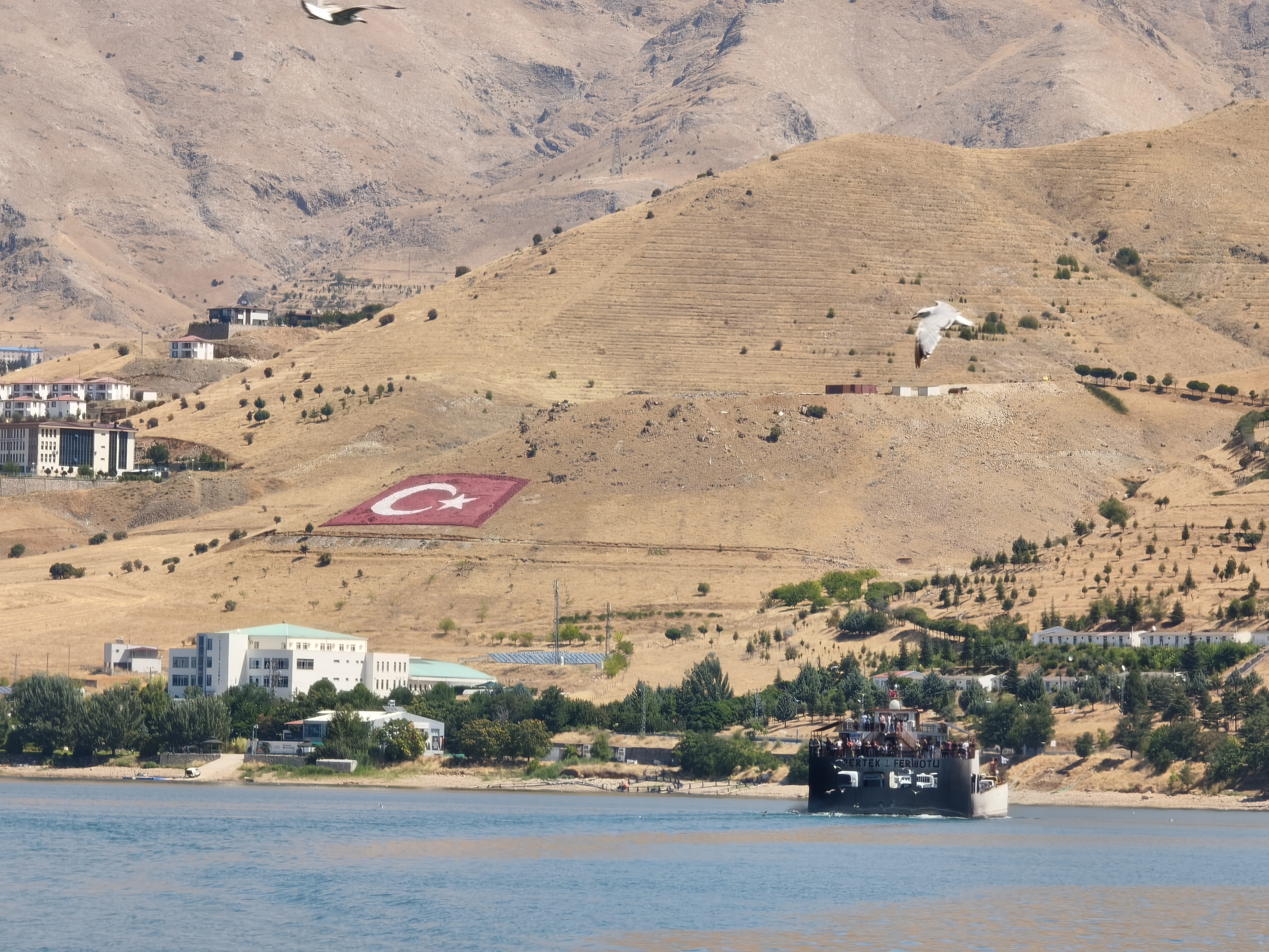
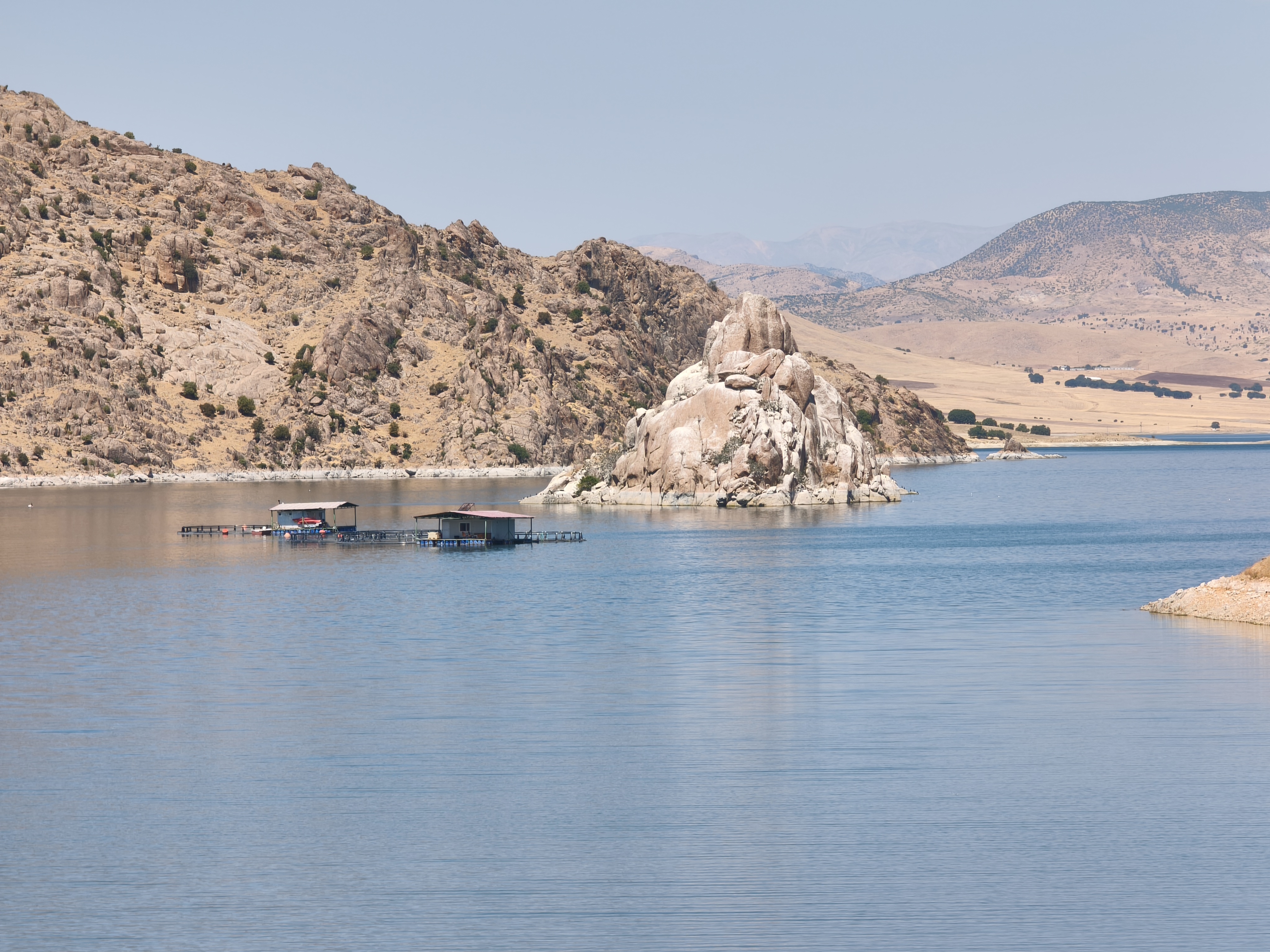
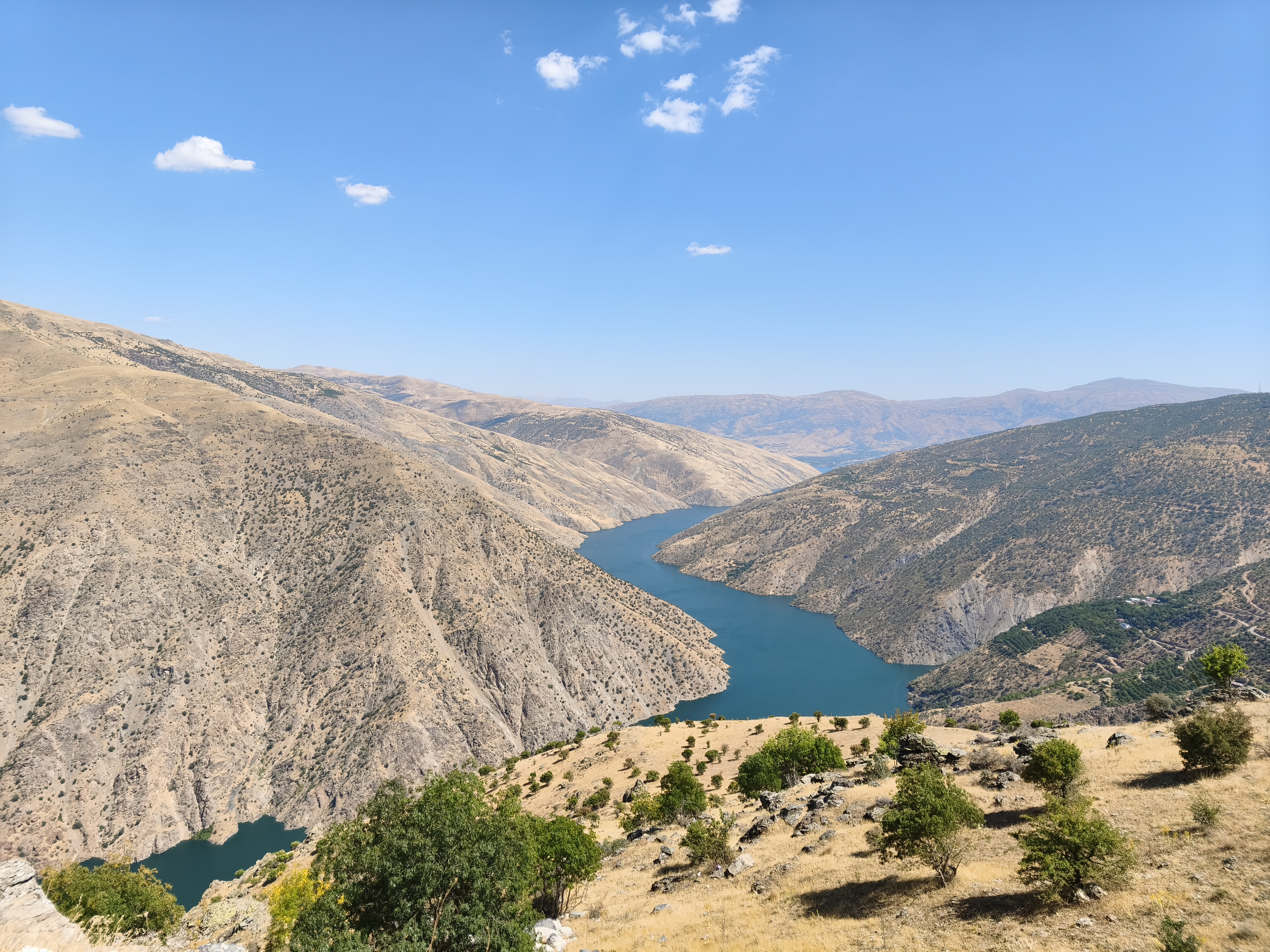
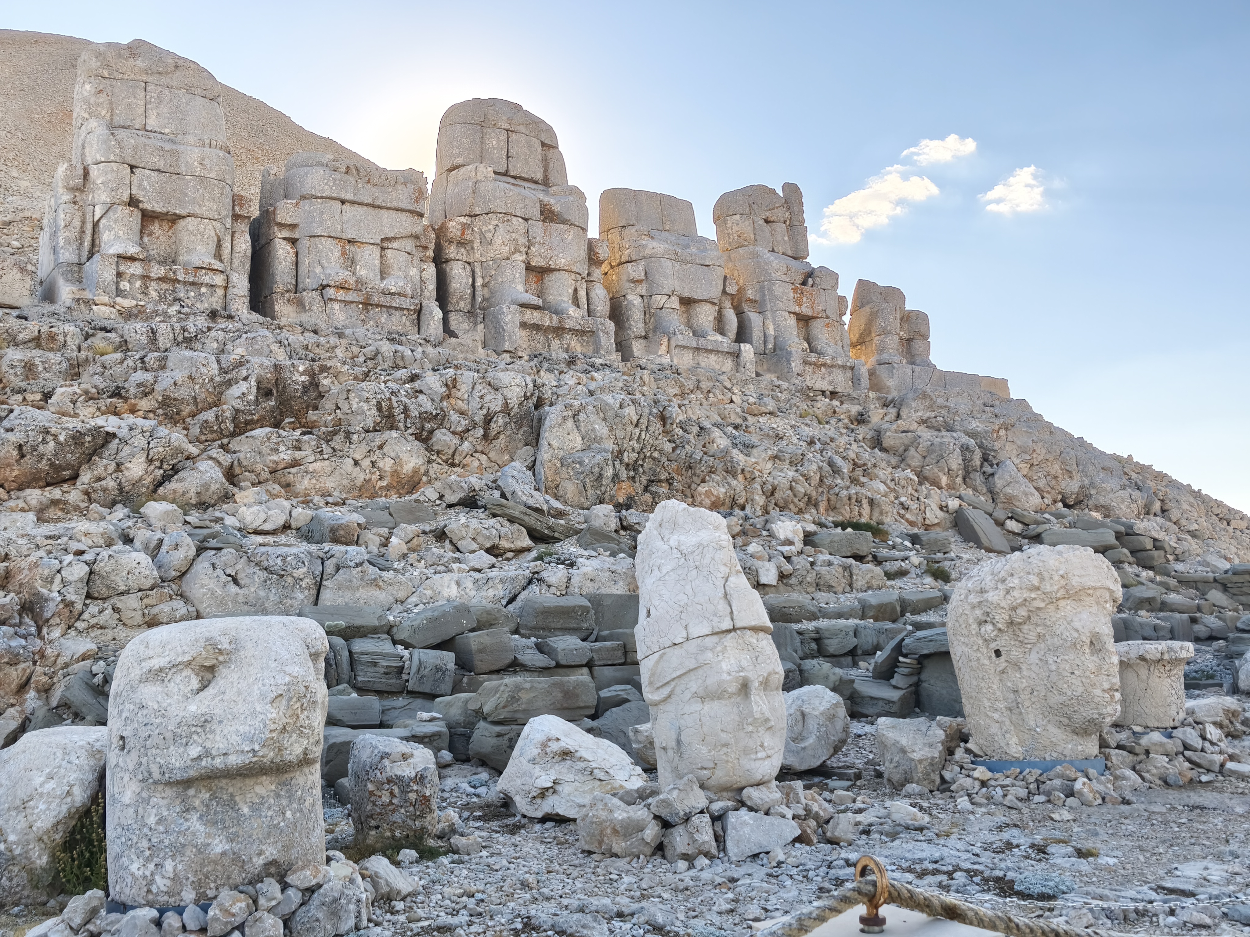
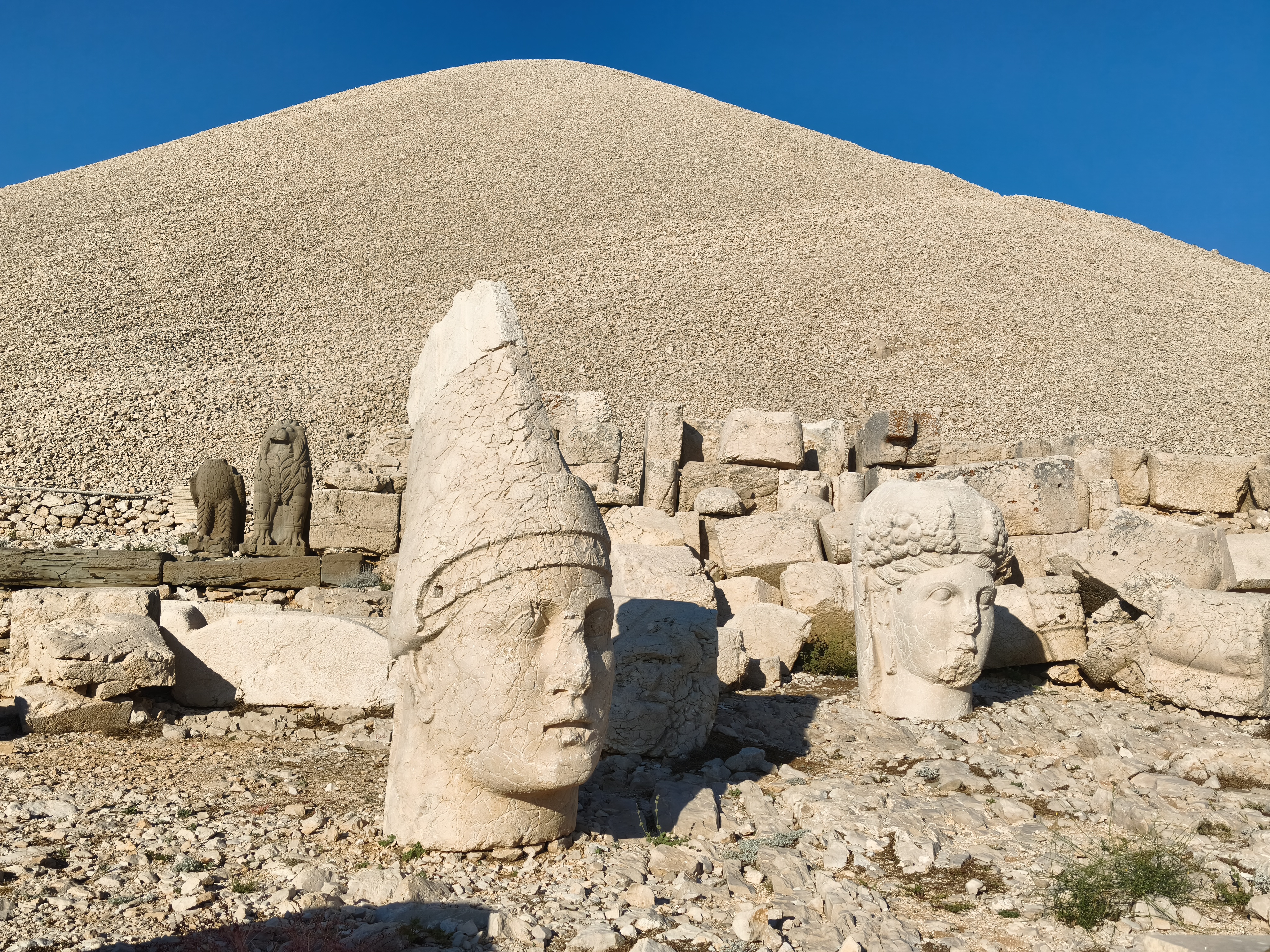
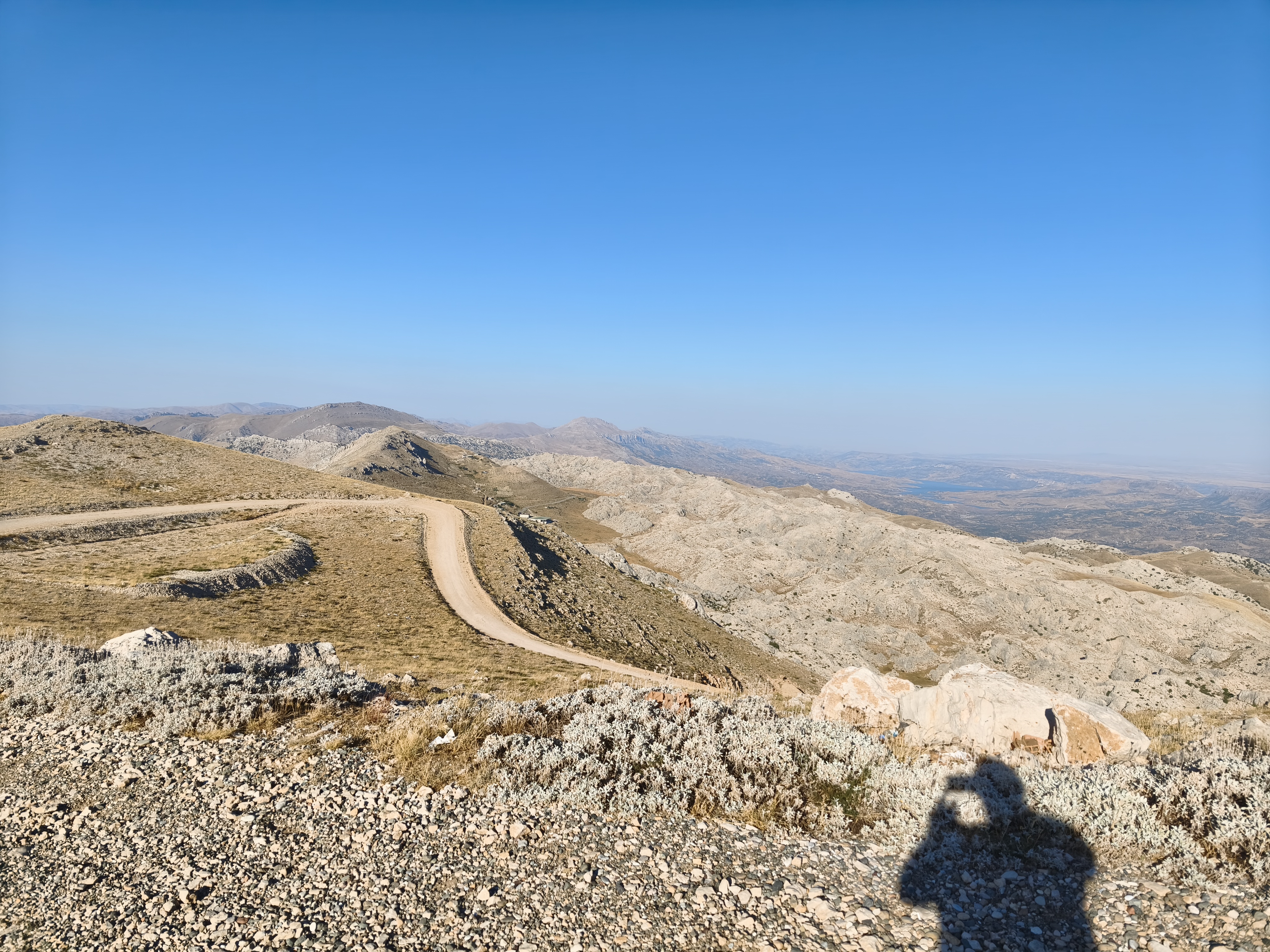
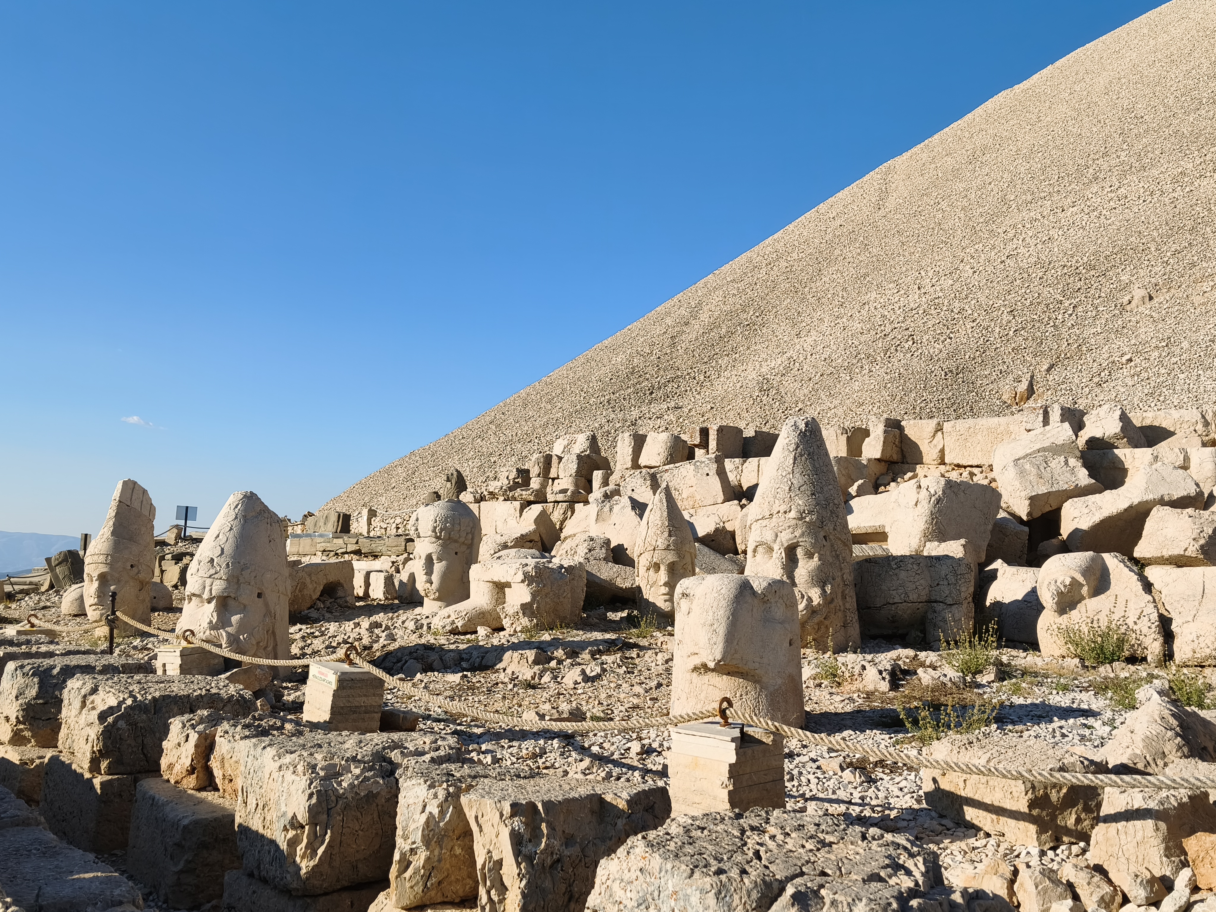
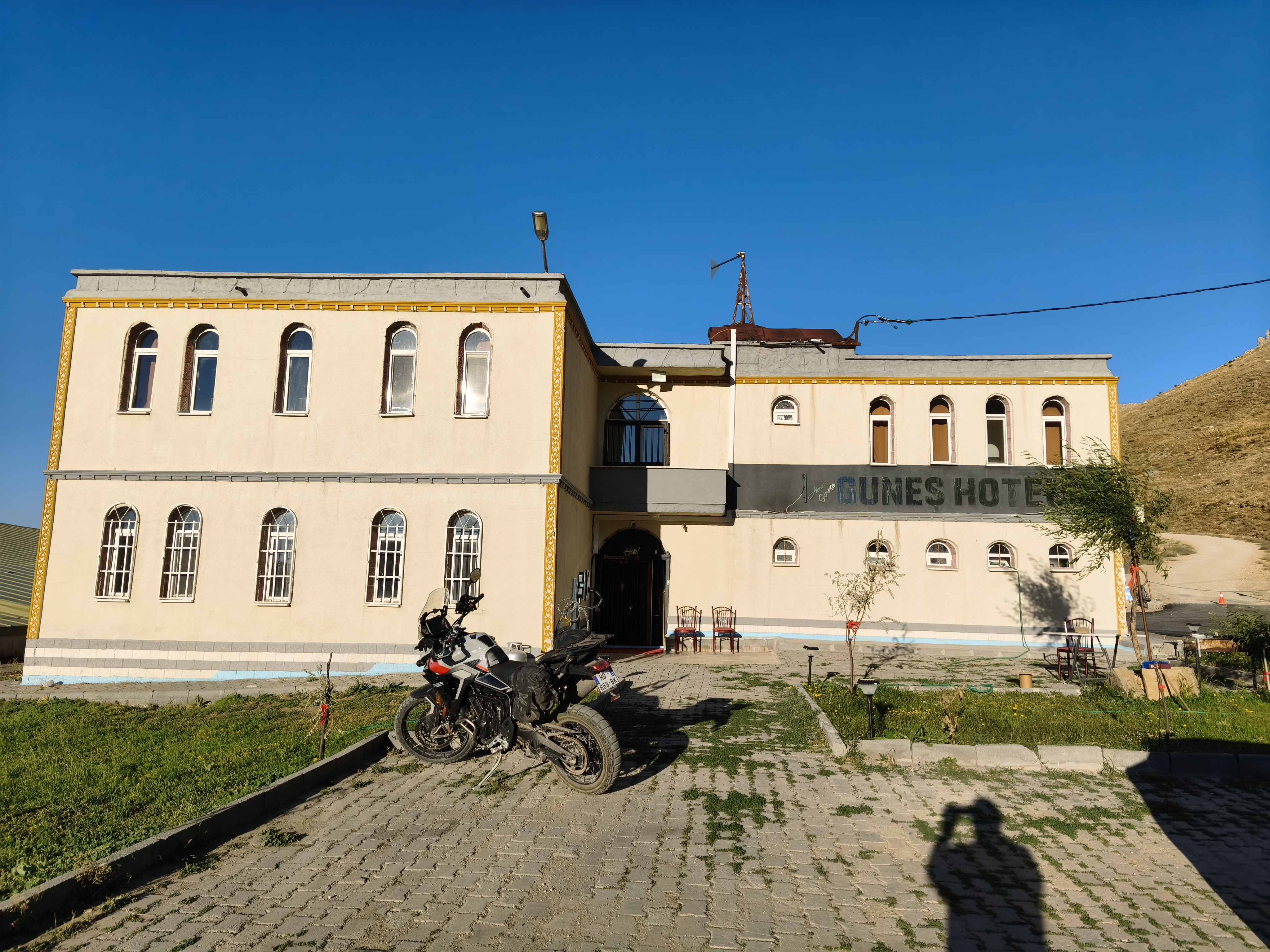
More moderate mileage, but a 100% backroad and dirt track route. Riding up the magnificent gorges of the Munzur River to its crystal-clear springs. Heading south next, taking a ferry across the Pertek reservoir lake.
The highlight of the day: after 100 km of battered roads clinging to cliffs, tackling a technical off-road trail to reach the western flank of Mount Nemrut at 2,200 m. This is where the incredible 1st-century BC funerary sanctuary built by King Antiochus I of Commagene stands. Standing among these giant, 8-meter-tall carved stone heads overlooking the Anatolian plains was one of the big dreams of this trip. Night in a lodge at the foot of the monument. Unquestionably one of the most beautiful legs of the journey, ending at such an ancient site offering a 360-degree panorama over Anatolia.
Kilométrage plus modéré mais itinéraire 100 % routes secondaires et pistes. Remontée des magnifiques gorges de la rivière Munzur jusqu’à ses sources cristallines. Cap au sud ensuite, avec une traversée en ferry du lac de retenue de Pertek.
Le clou de la journée : après 100 km de routes défoncées accrochées aux falaises, attaque d’une piste technique pour atteindre le flanc ouest du Mont Nemrut à 2 200 m. C’est ici que se dresse l’incroyable sanctuaire funéraire du Ier siècle av. J.-C. édifié par le roi Antiochos Ier de Commagène. Se tenir au milieu de ces têtes géantes en pierre sculptée de 8 mètres de haut dominant les plaines anatoliennes était l’un des grands rêves de ce voyage. Nuit dans un lodge au pied du monument. Assurément une des plus belles étapes du voyage, lorsque celle-ci se termine par un tel site antique offrant un paysage à 360° sur l’Anatolie.
Day #18: Mount Nemrut – Kayseri. Distance: 465 km (Road)
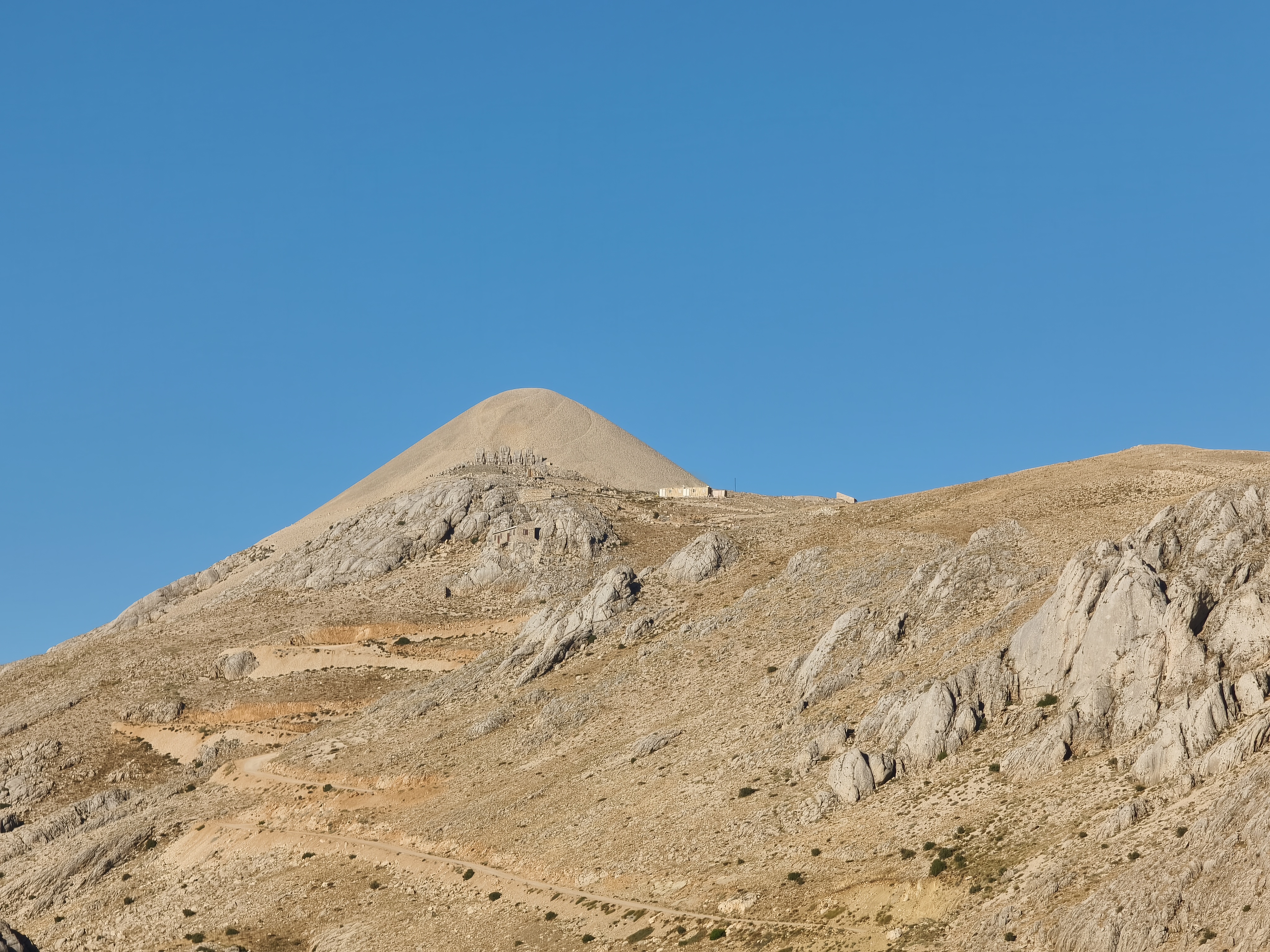
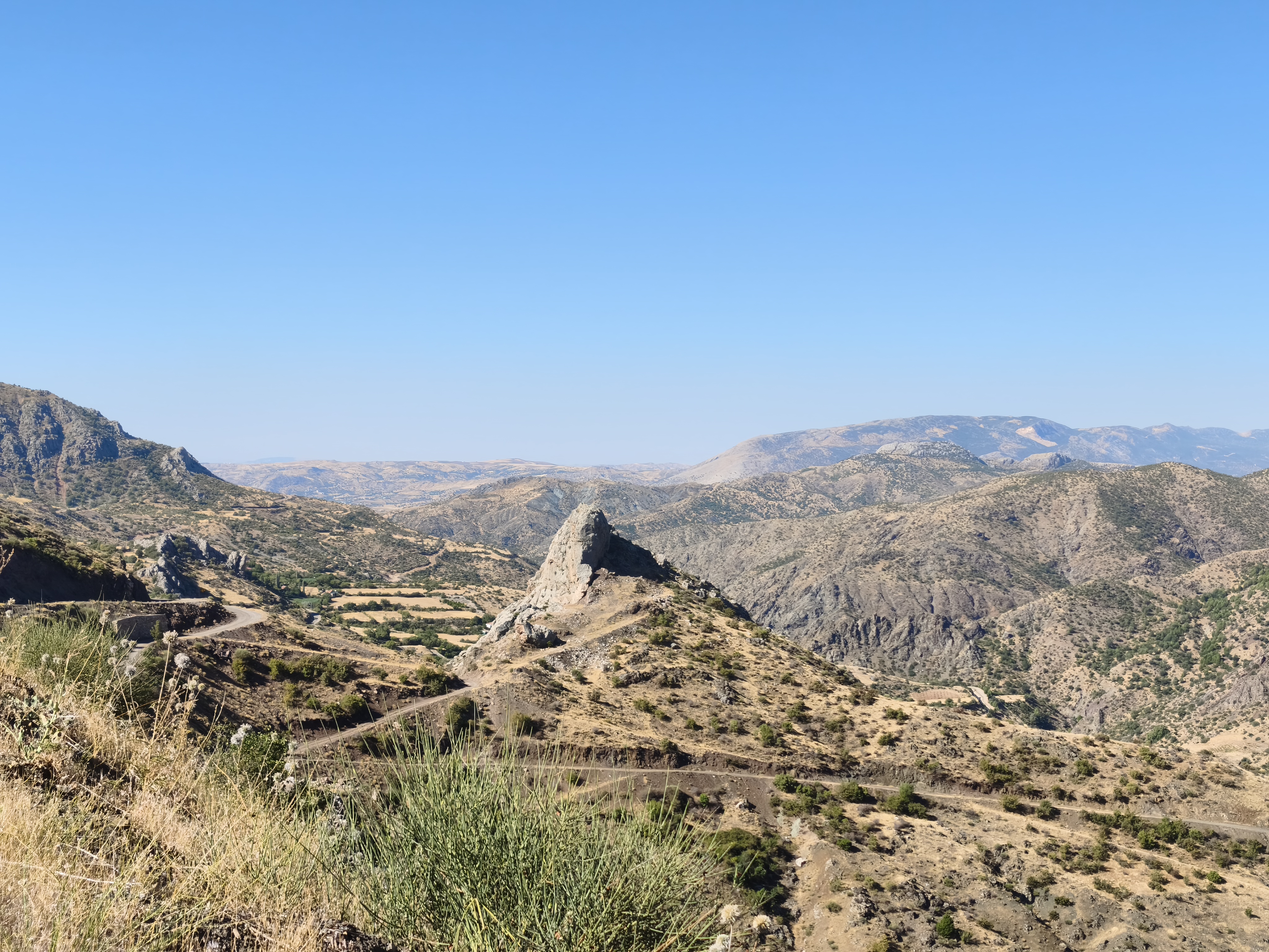
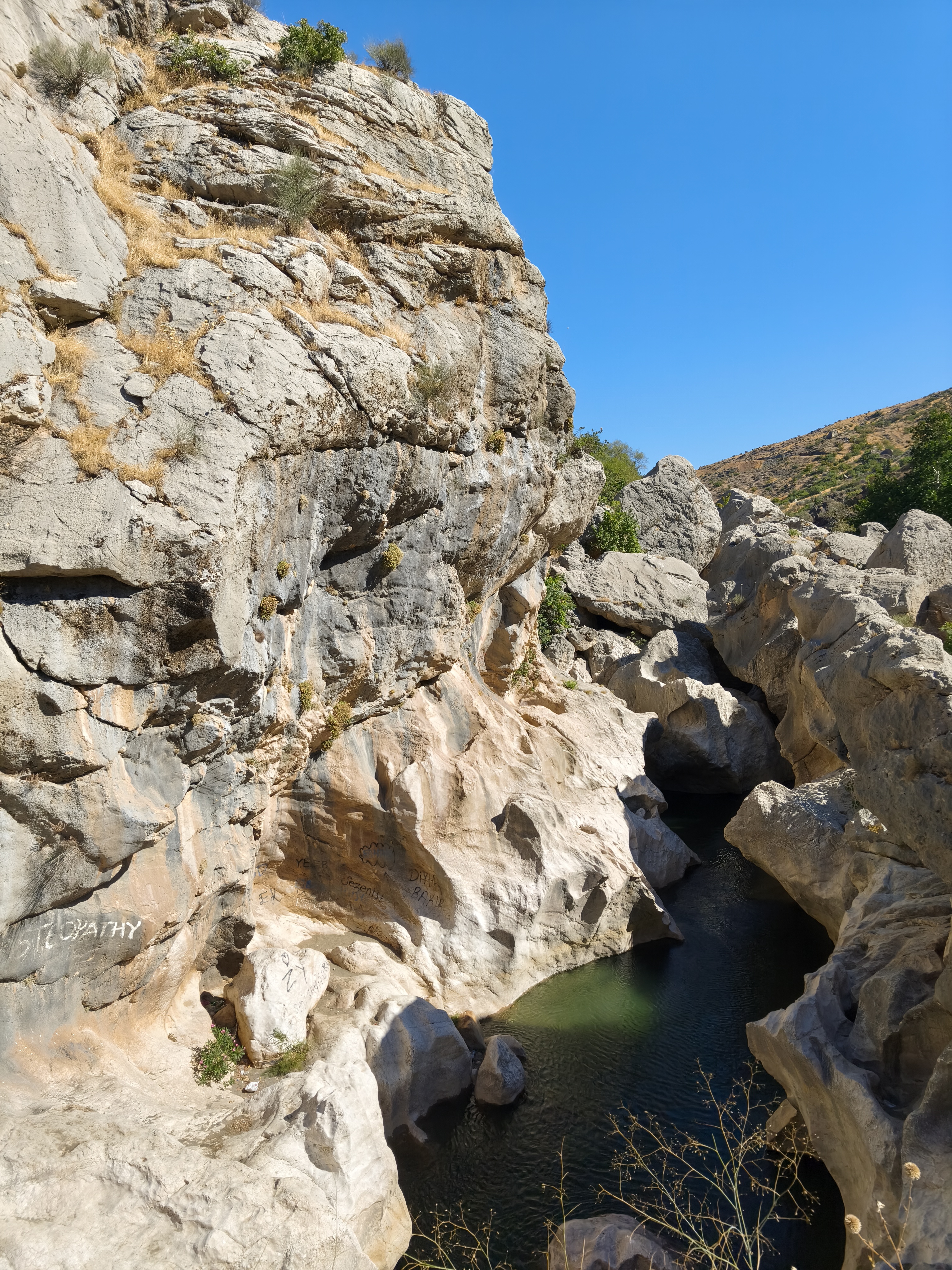
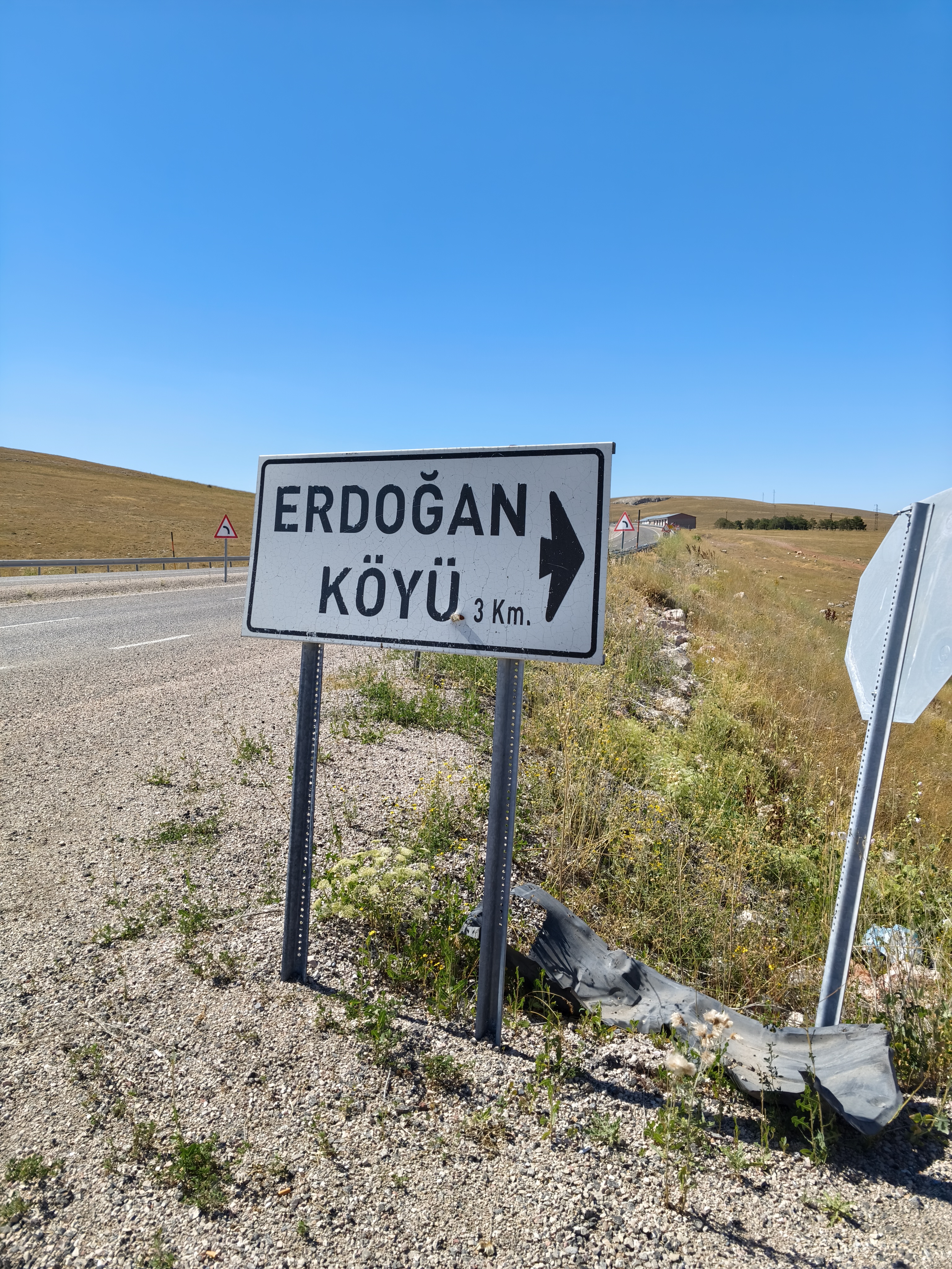
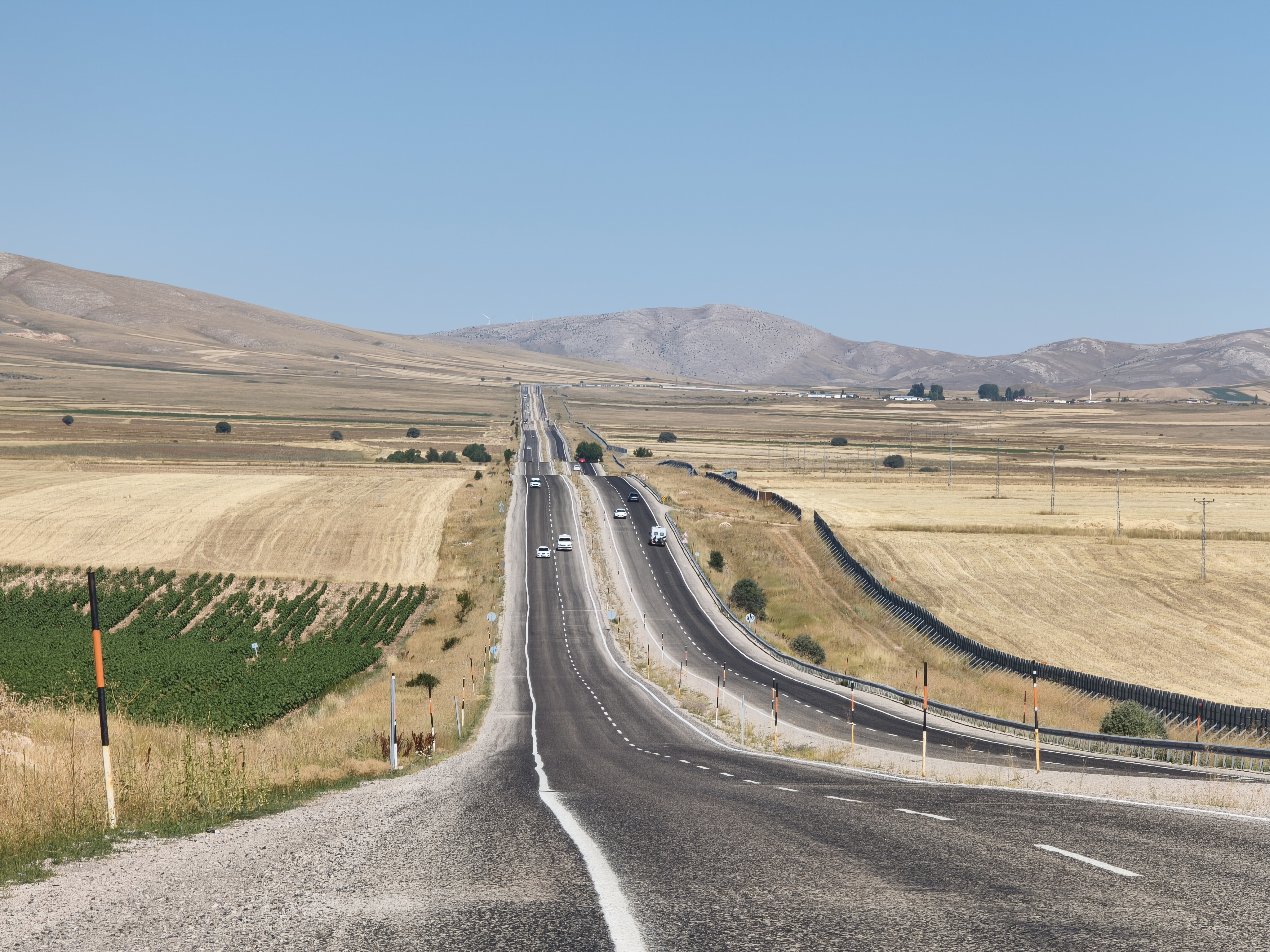
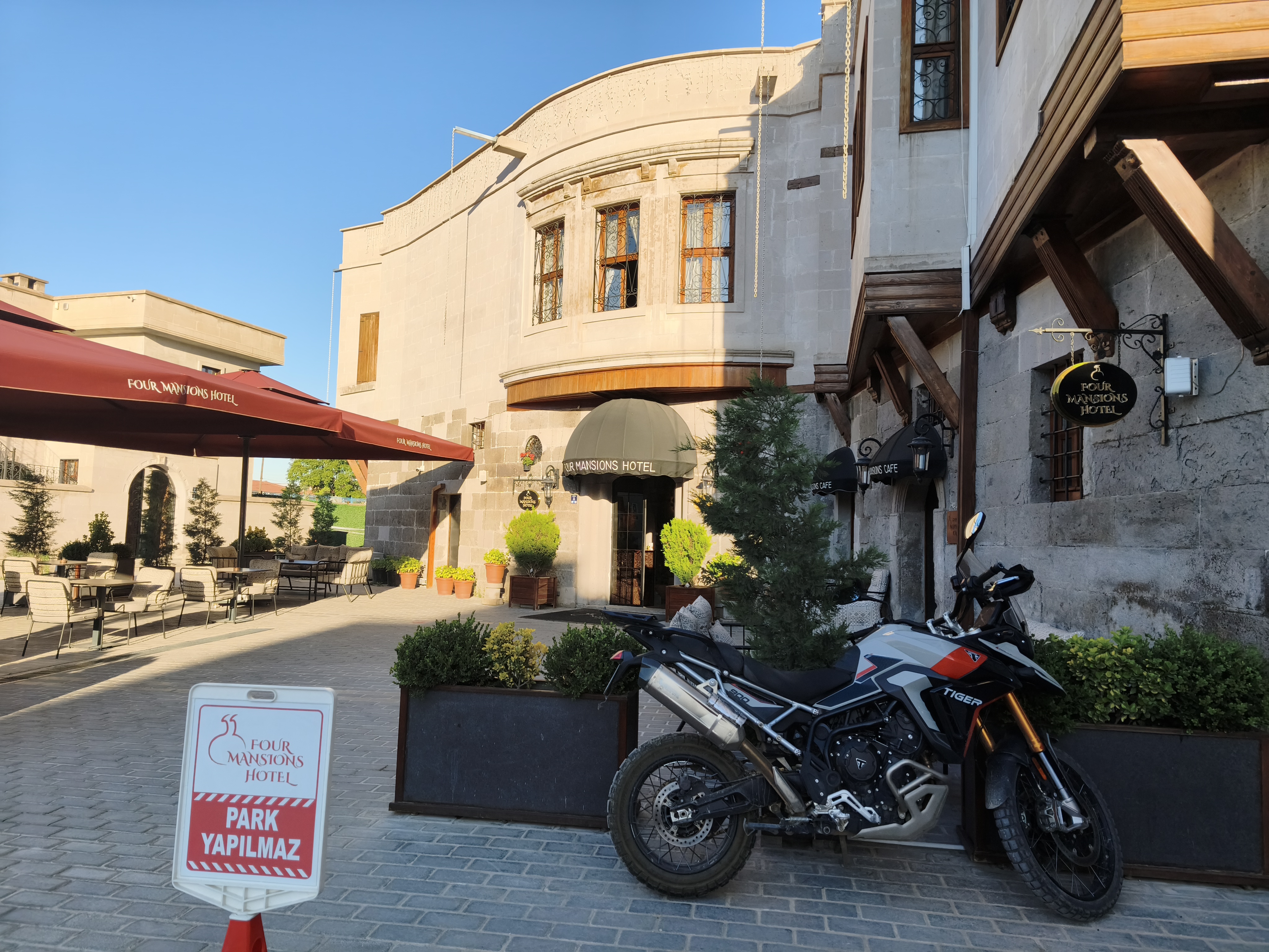
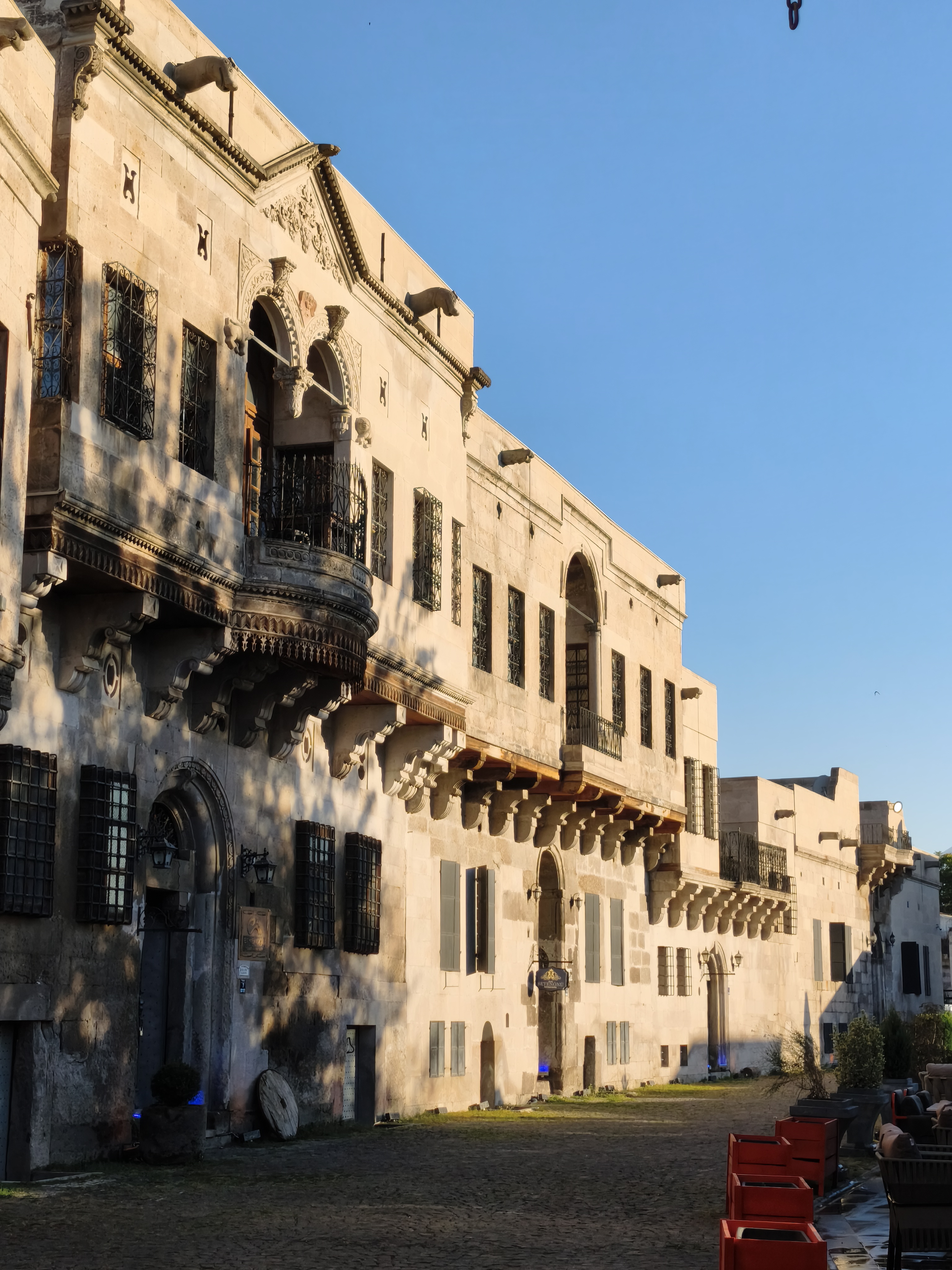
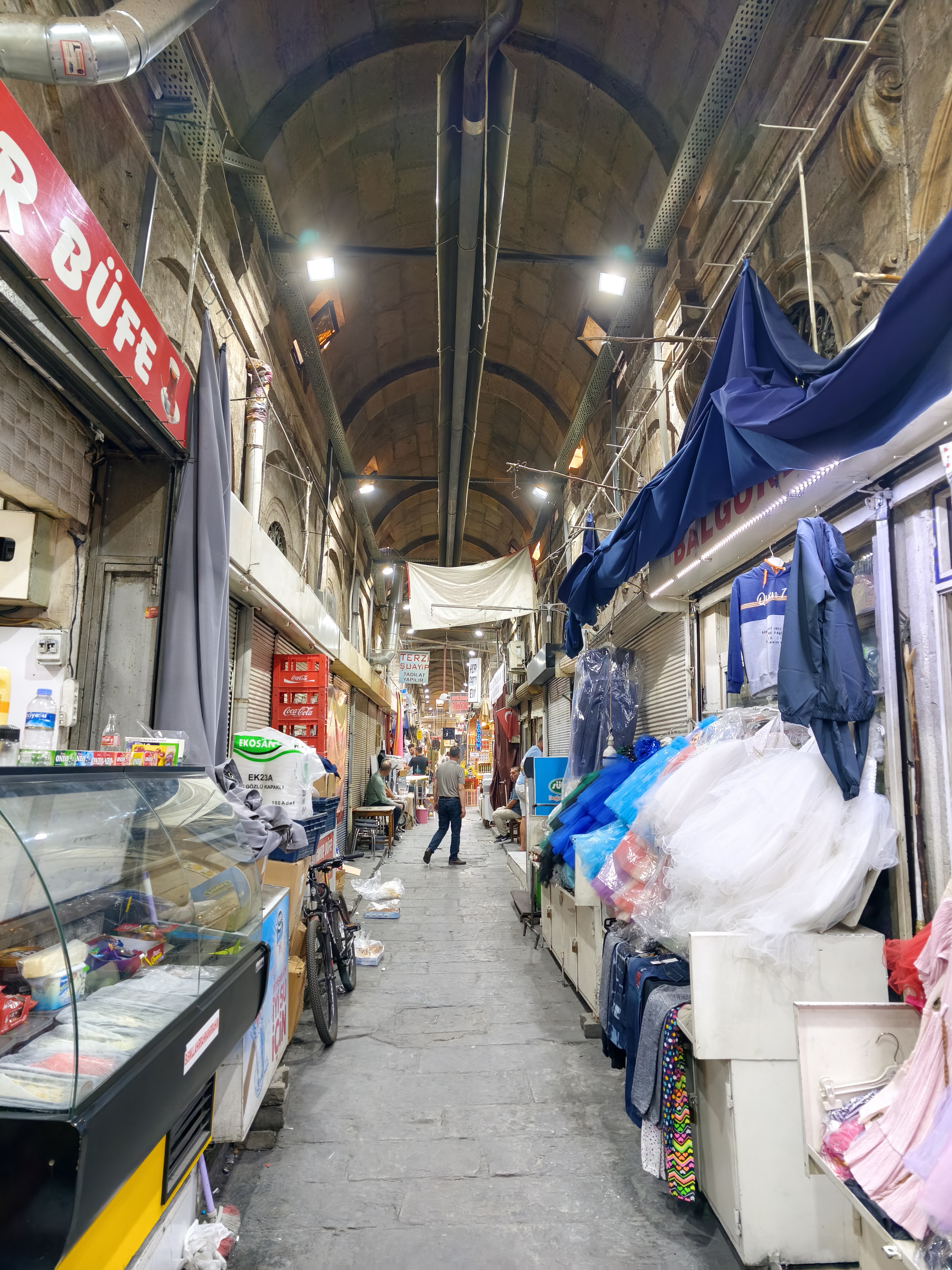
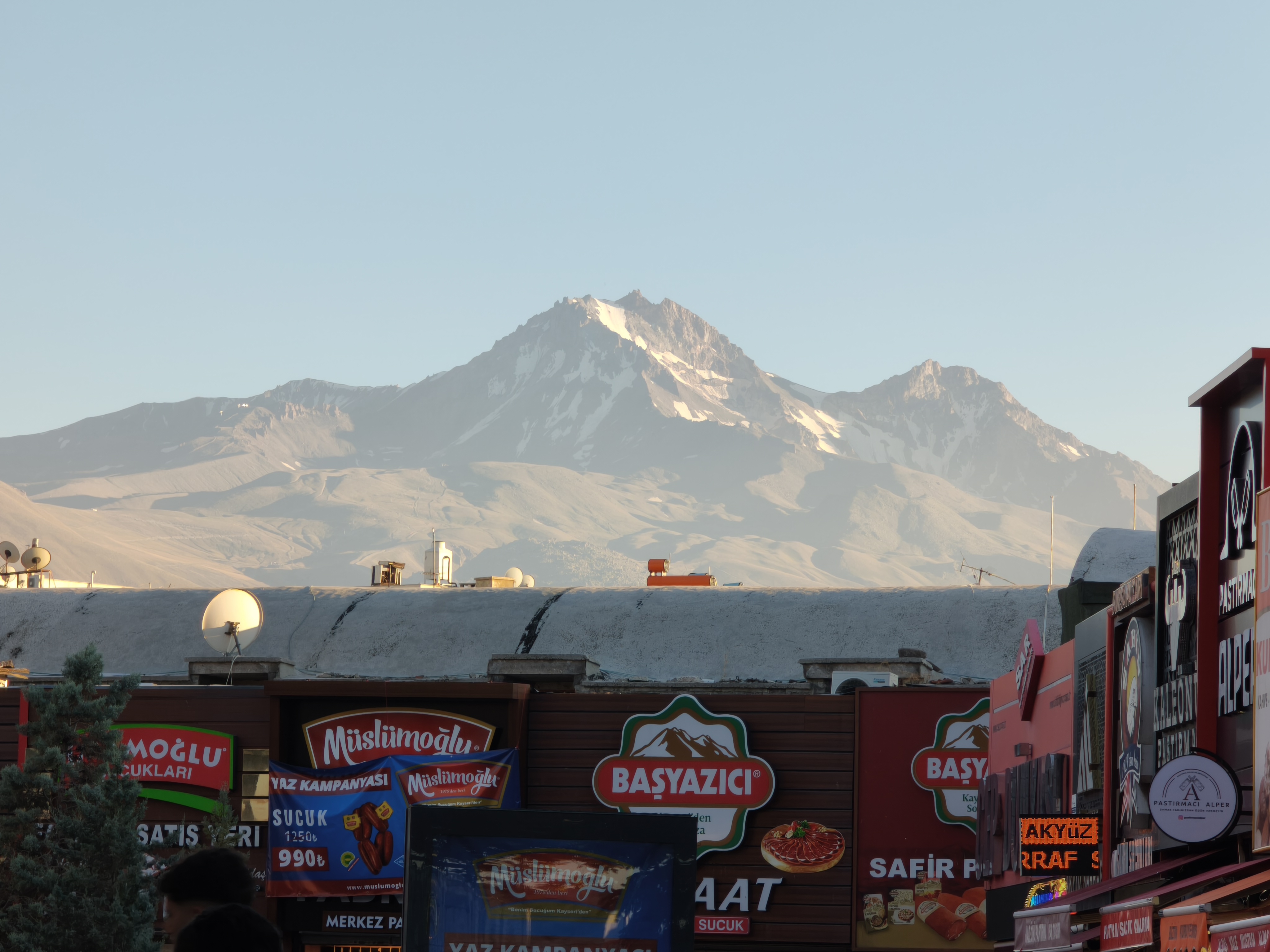
Waking up in this isolated lodge as the sun rises over the statues of Nemrut: a memory forever etched in my mind. The departure via off-road tracks toward Malatya is slow (120 km in 4 hours), accompanied by a minor fuel anxiety scare in a remote zone. From there, heading due west along long ribbons of asphalt through steppe-like landscapes all the way to Kayseri.
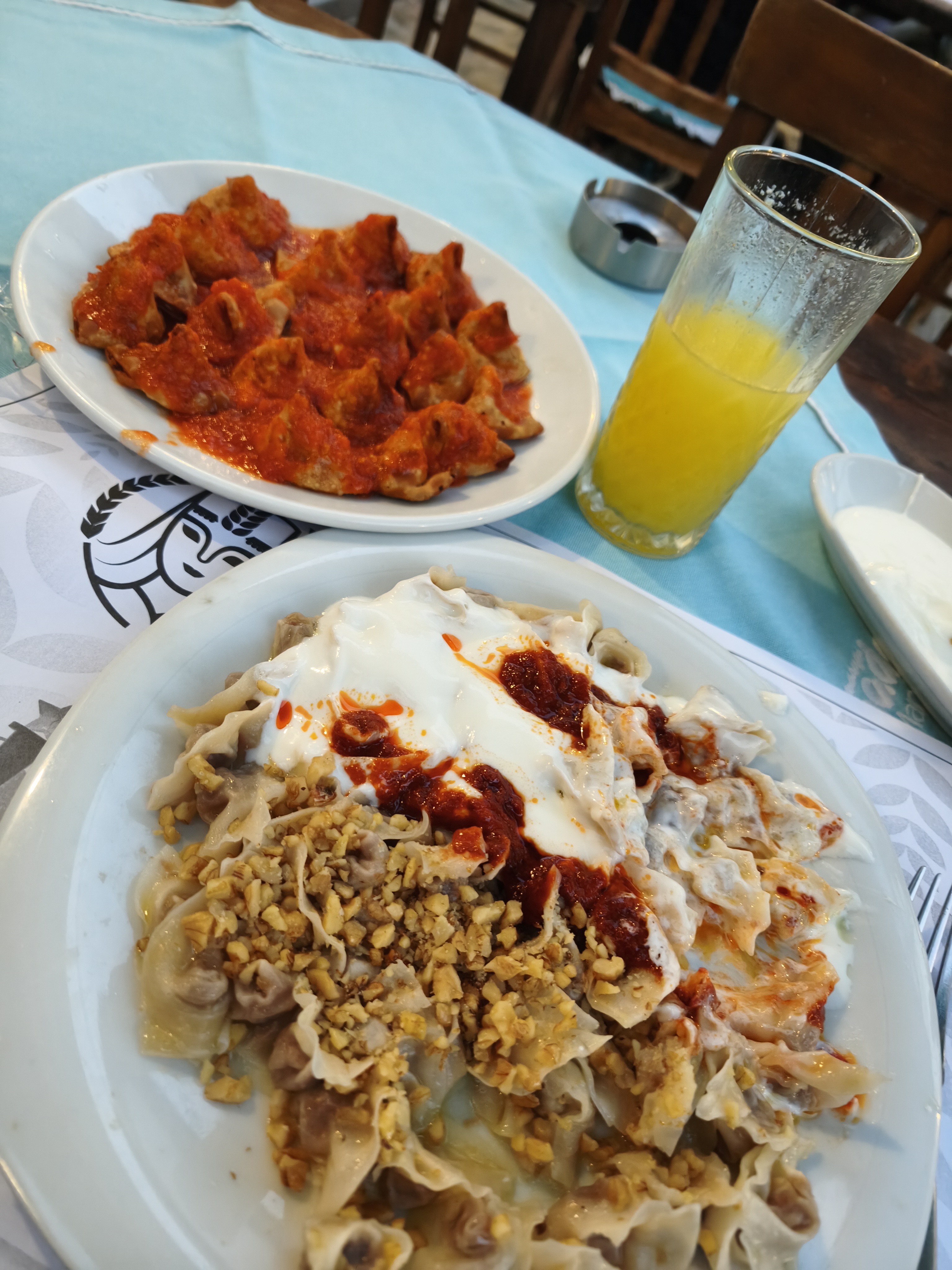
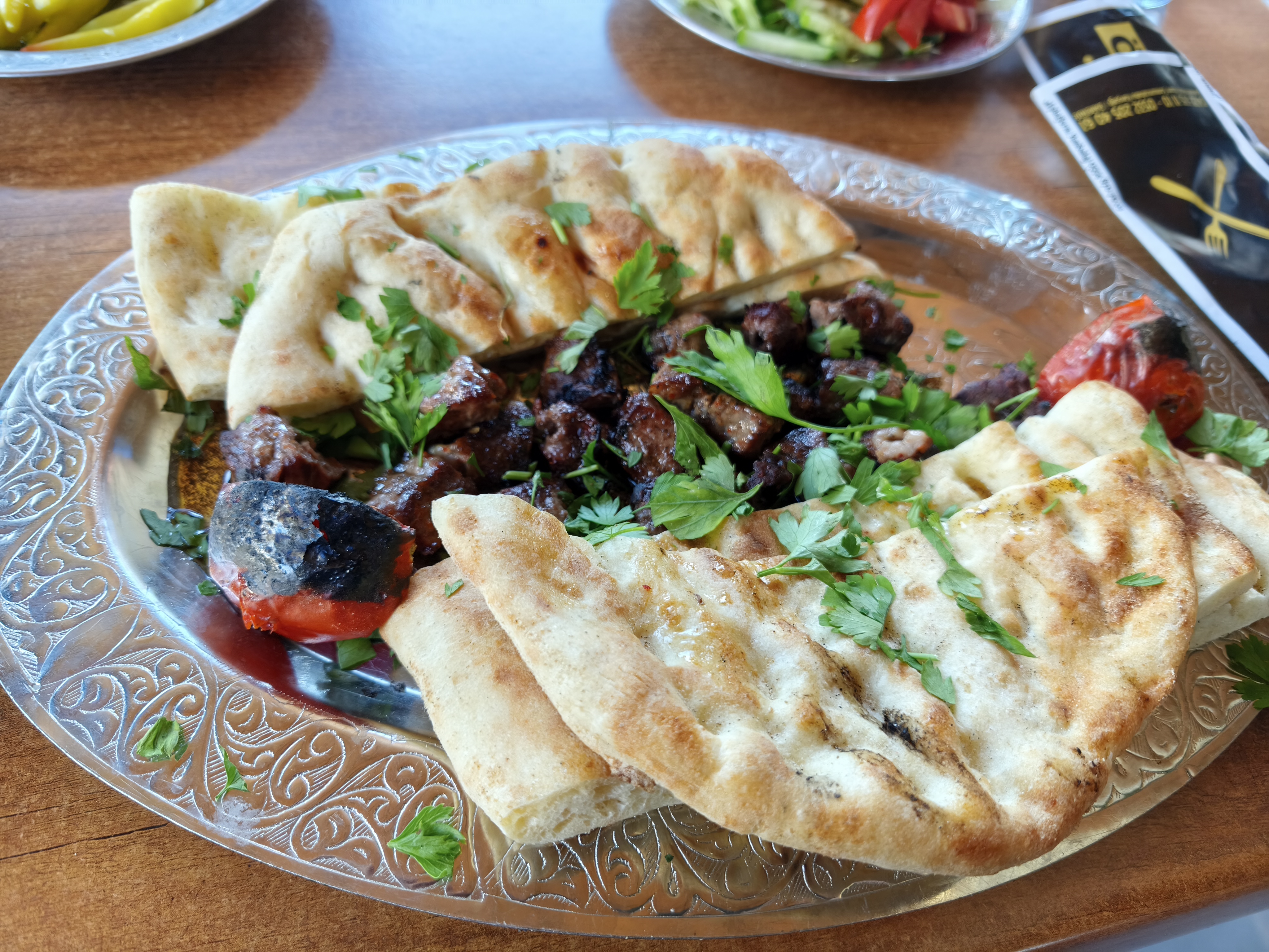
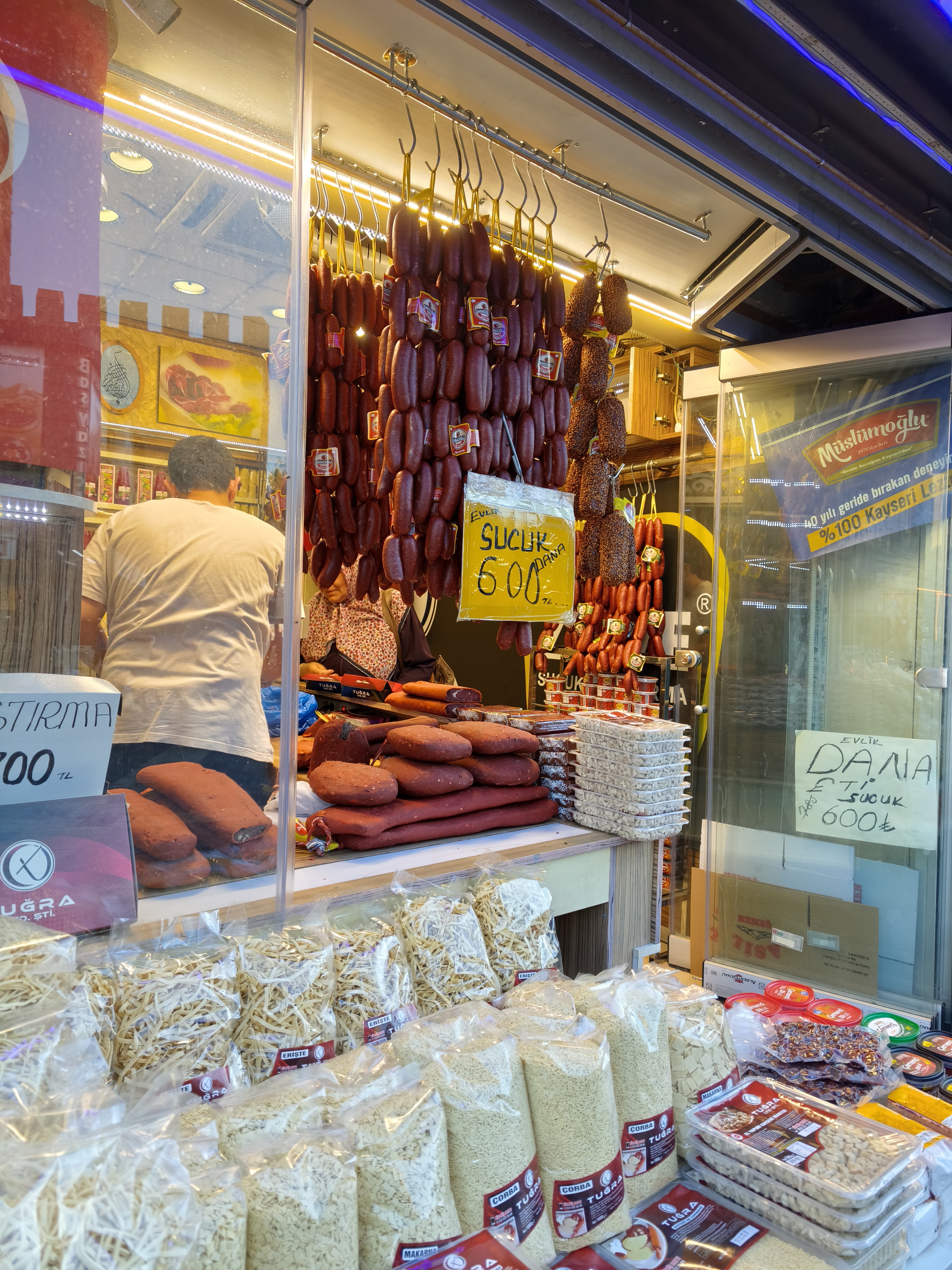
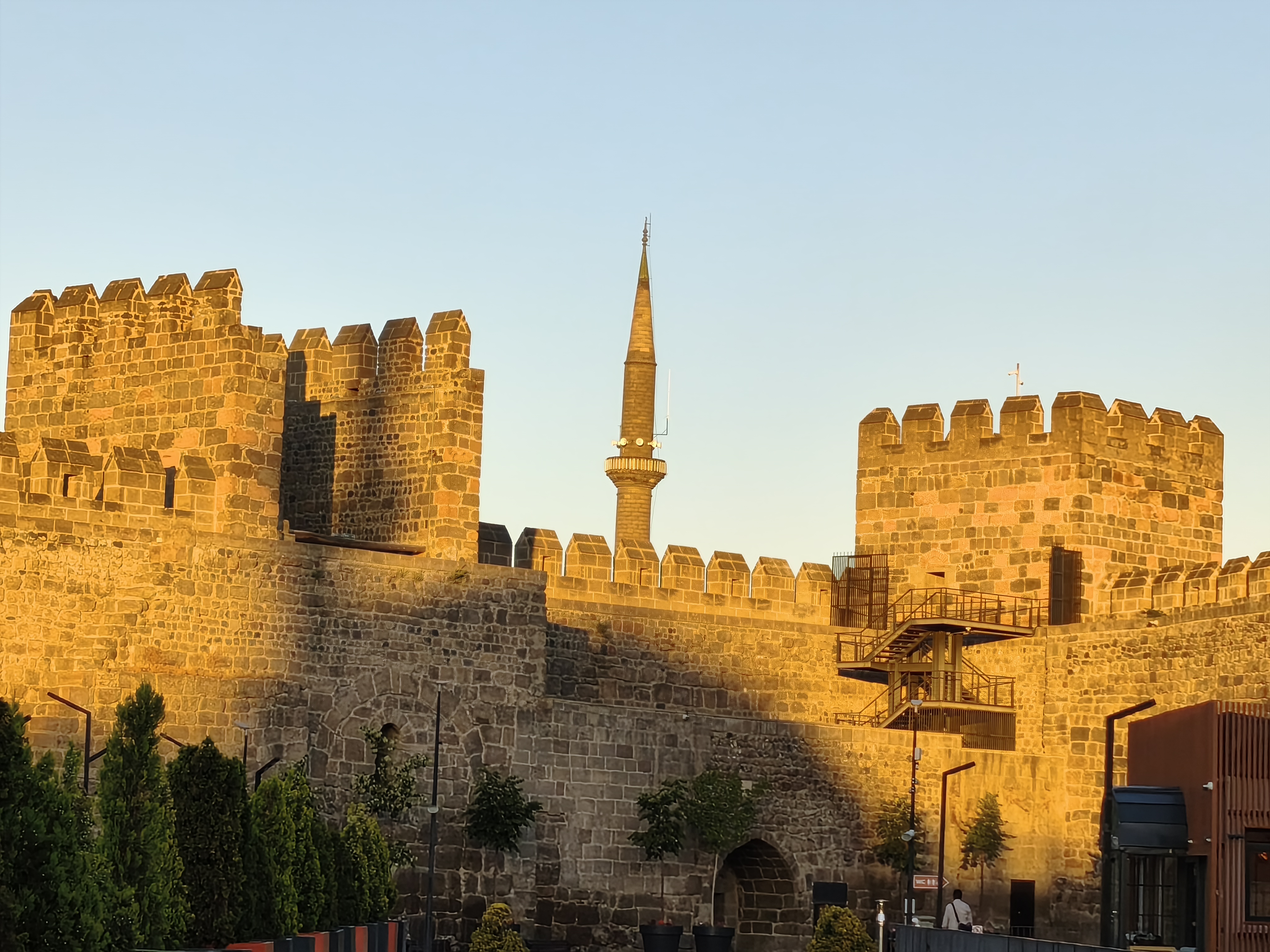
Kayseri is an impressive metropolis at the foot of Mount Erciyes volcano (3,915 m). A walking tour of the bazaar and the citadel, followed by a tasting of pastırma (cured, spiced beef) and mantı (Turkish dumplings). A city caught between deep-rooted tradition and economic modernity.
Réveil dans ce lodge isolé alors que le soleil se lève sur les statues du Nemrut : un souvenir gravé à jamais. Le départ par les pistes vers Malatya est lent (120 km en 4 heures) avec une petite frayeur sur le niveau d’essence en zone isolée. De là, cap plein ouest par de grands rubans d’asphalte à travers des paysages steppiques jusqu’à Kayseri.
Kayseri est une métropole impressionnante au pied du volcan Erciyes (3 915 m). Balade à pied dans le bazar et la citadelle, dégustation de pastırma (viande de bœuf séchée et épicée) et de mantı (raviolis turcs). Une ville entre tradition forte et modernité économique.
Day #19: Kayseri – Adana. Distance: 430 km (290 km Road / 140 km Off-road)
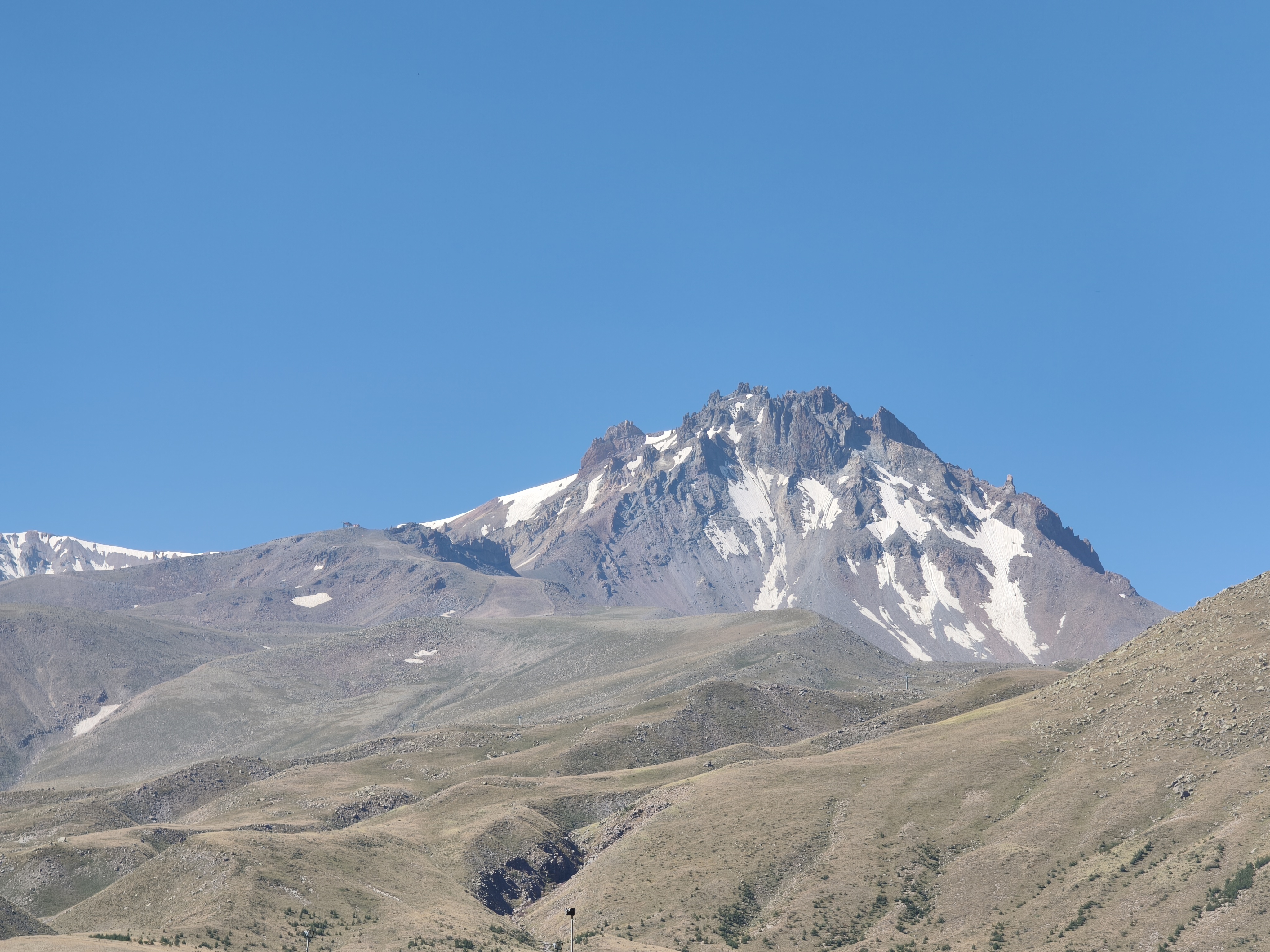
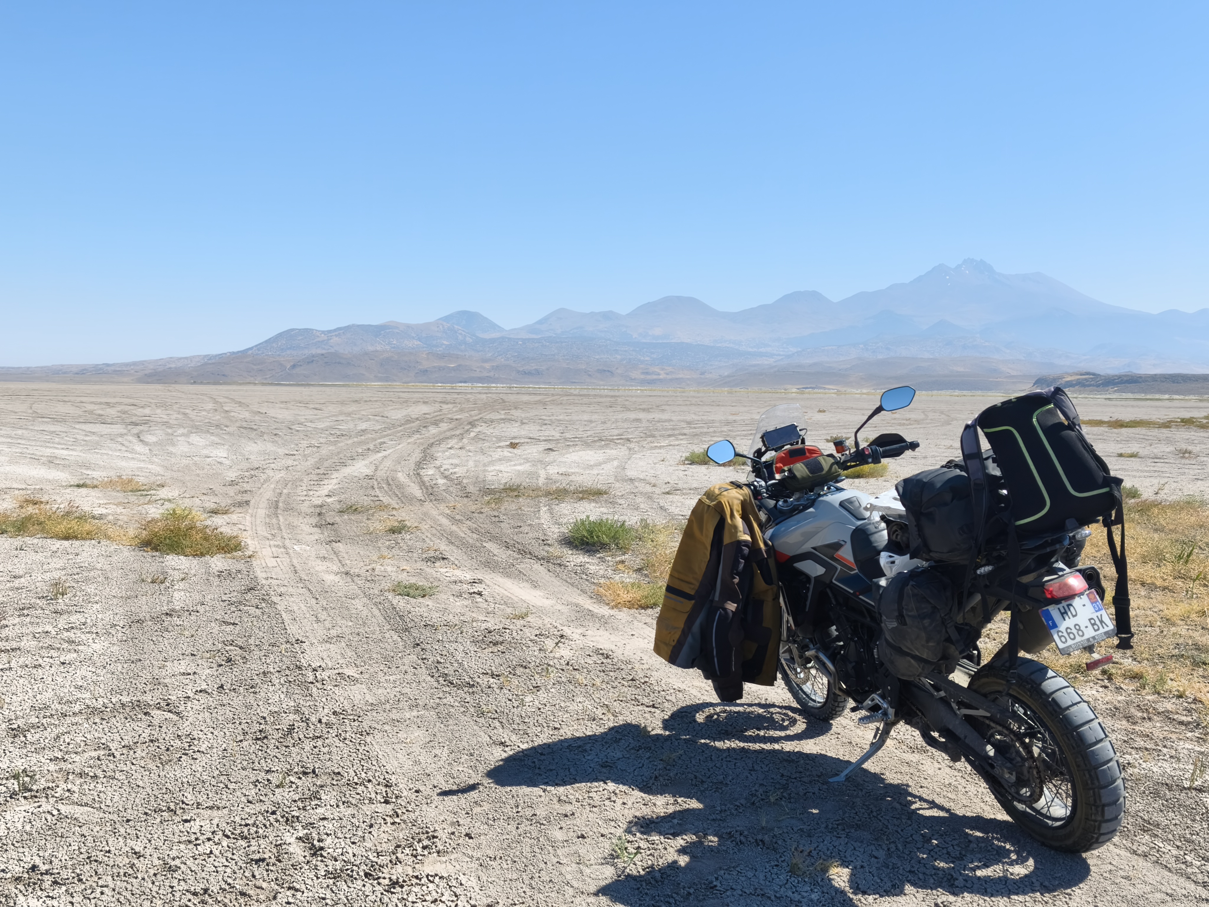
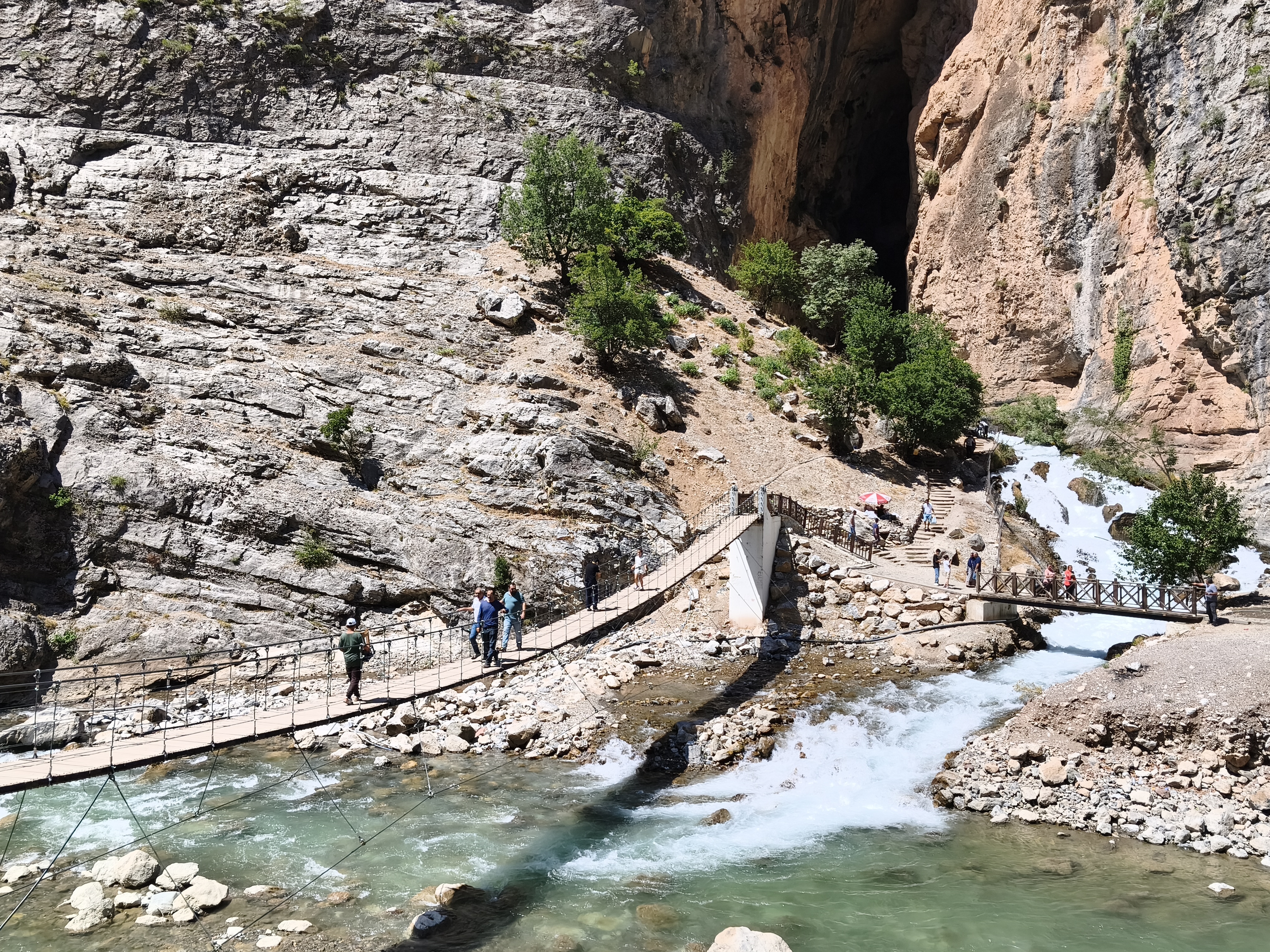
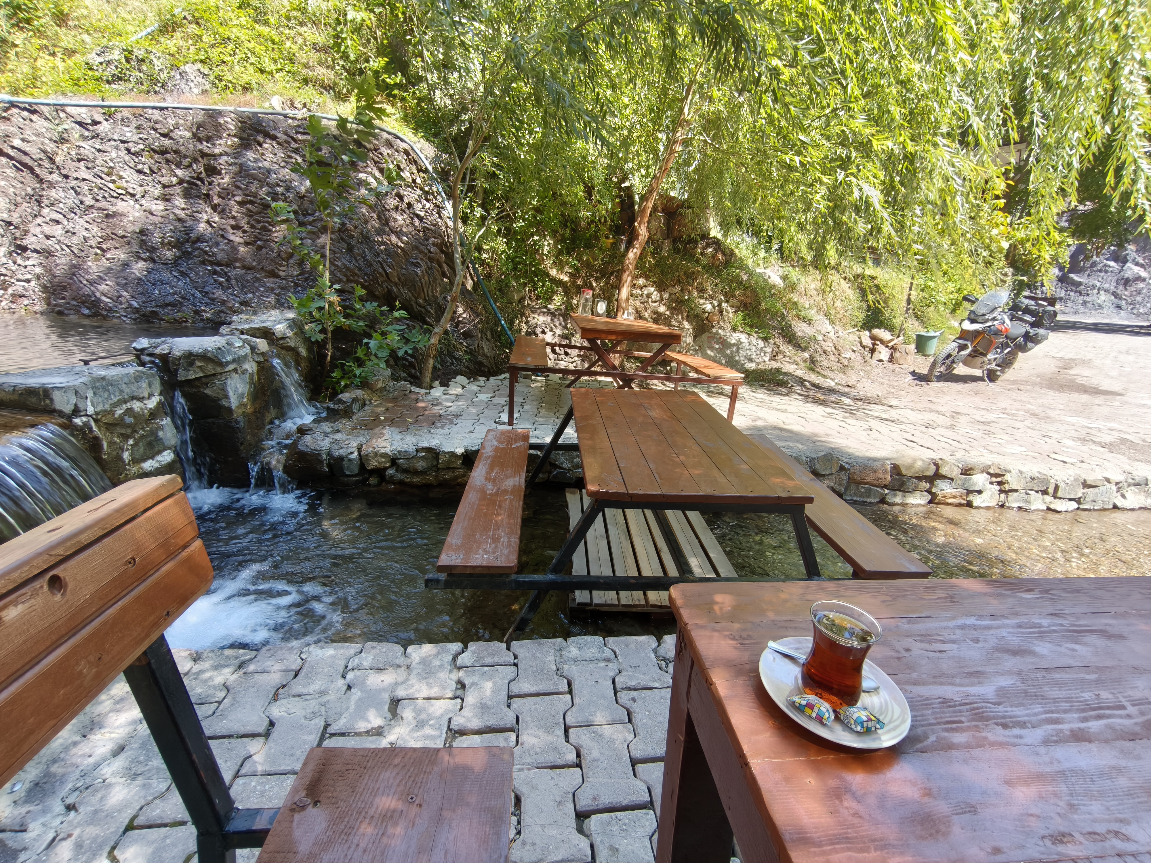
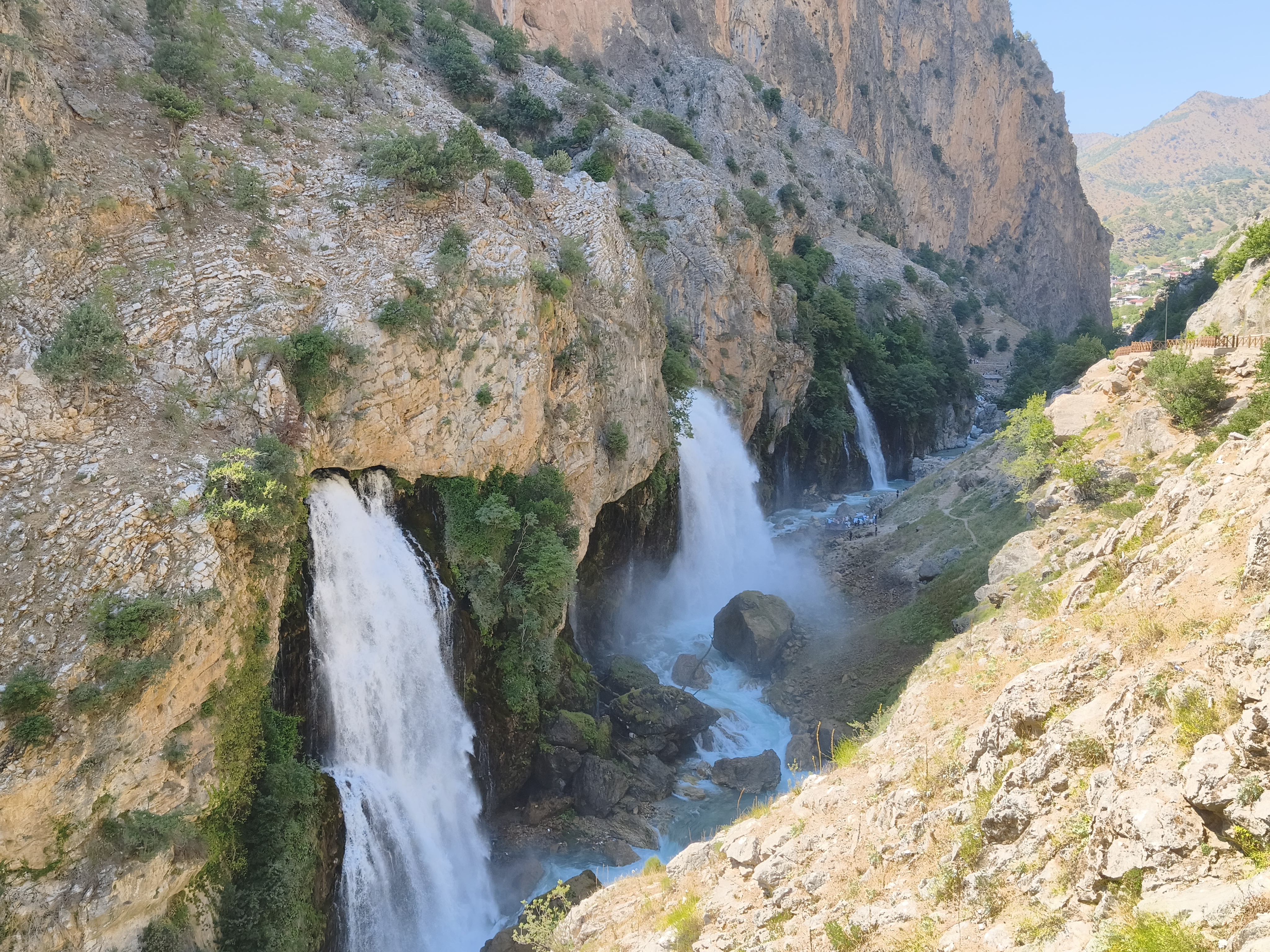
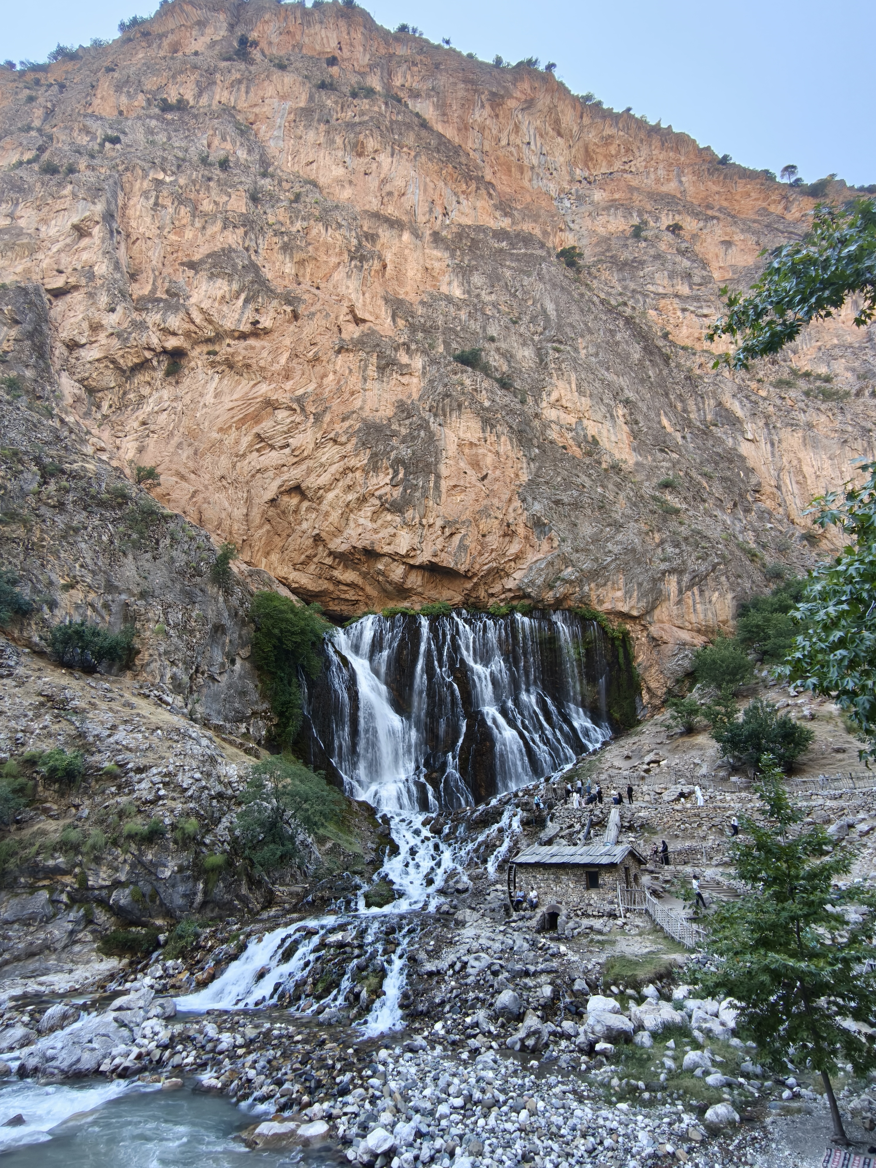
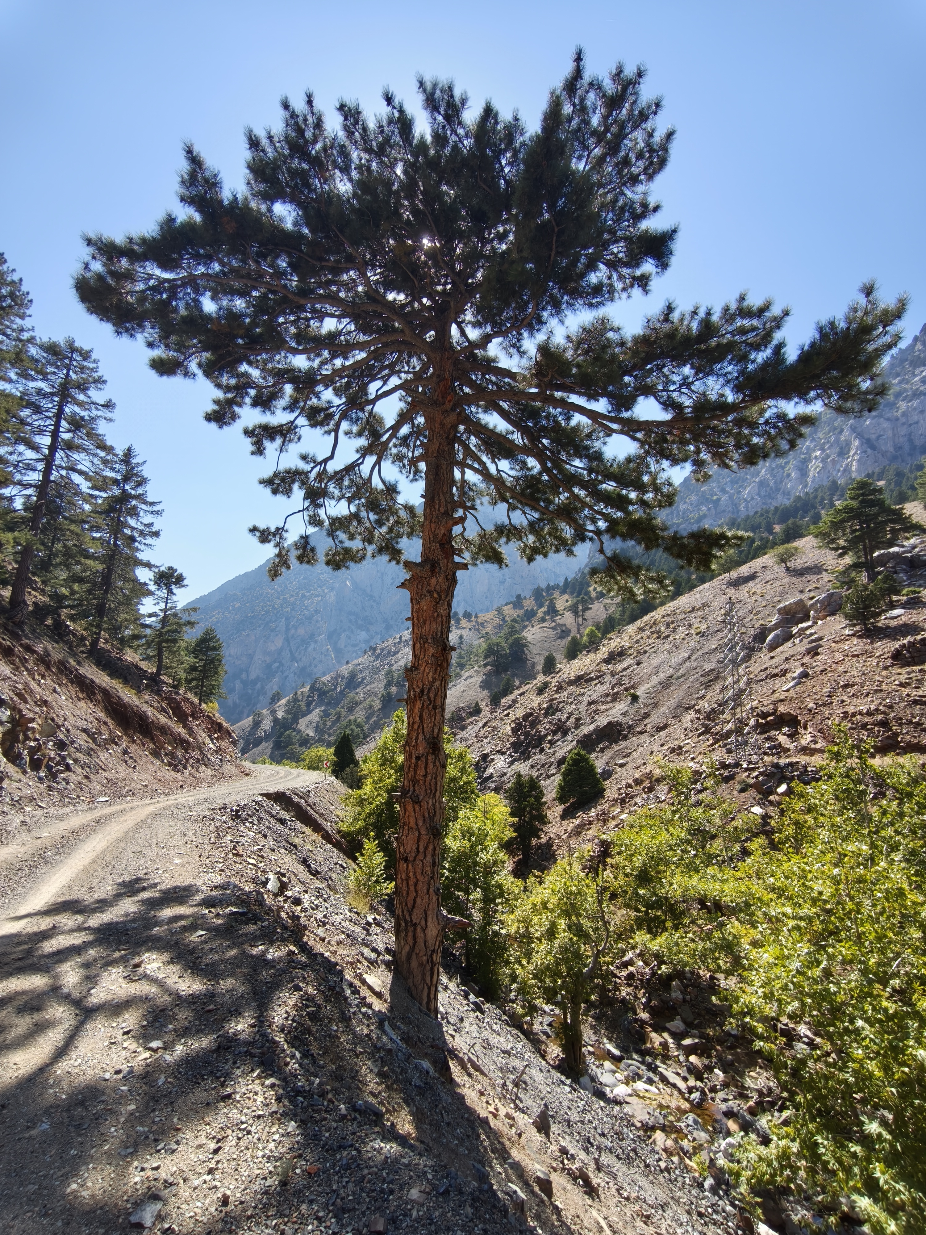
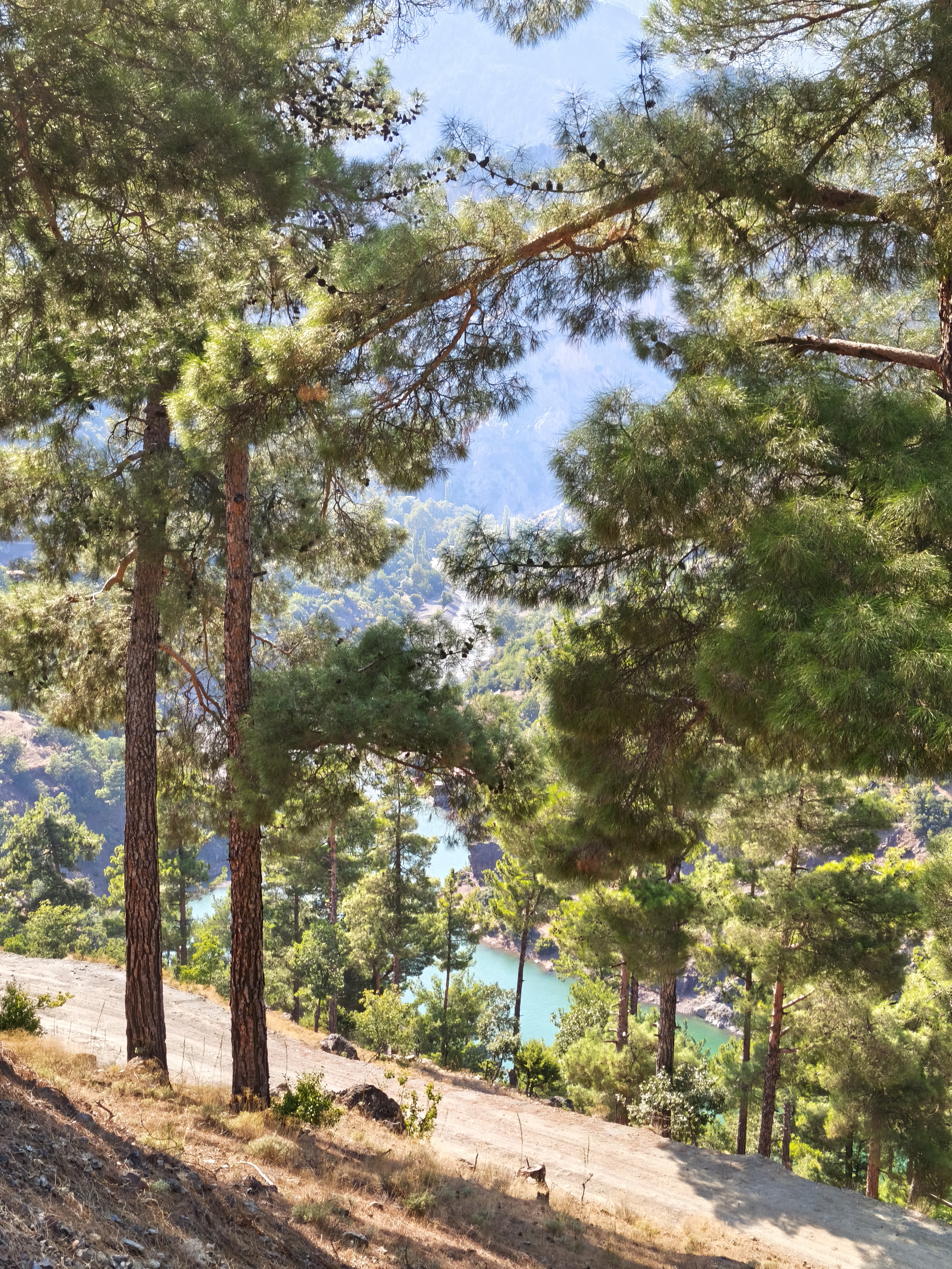
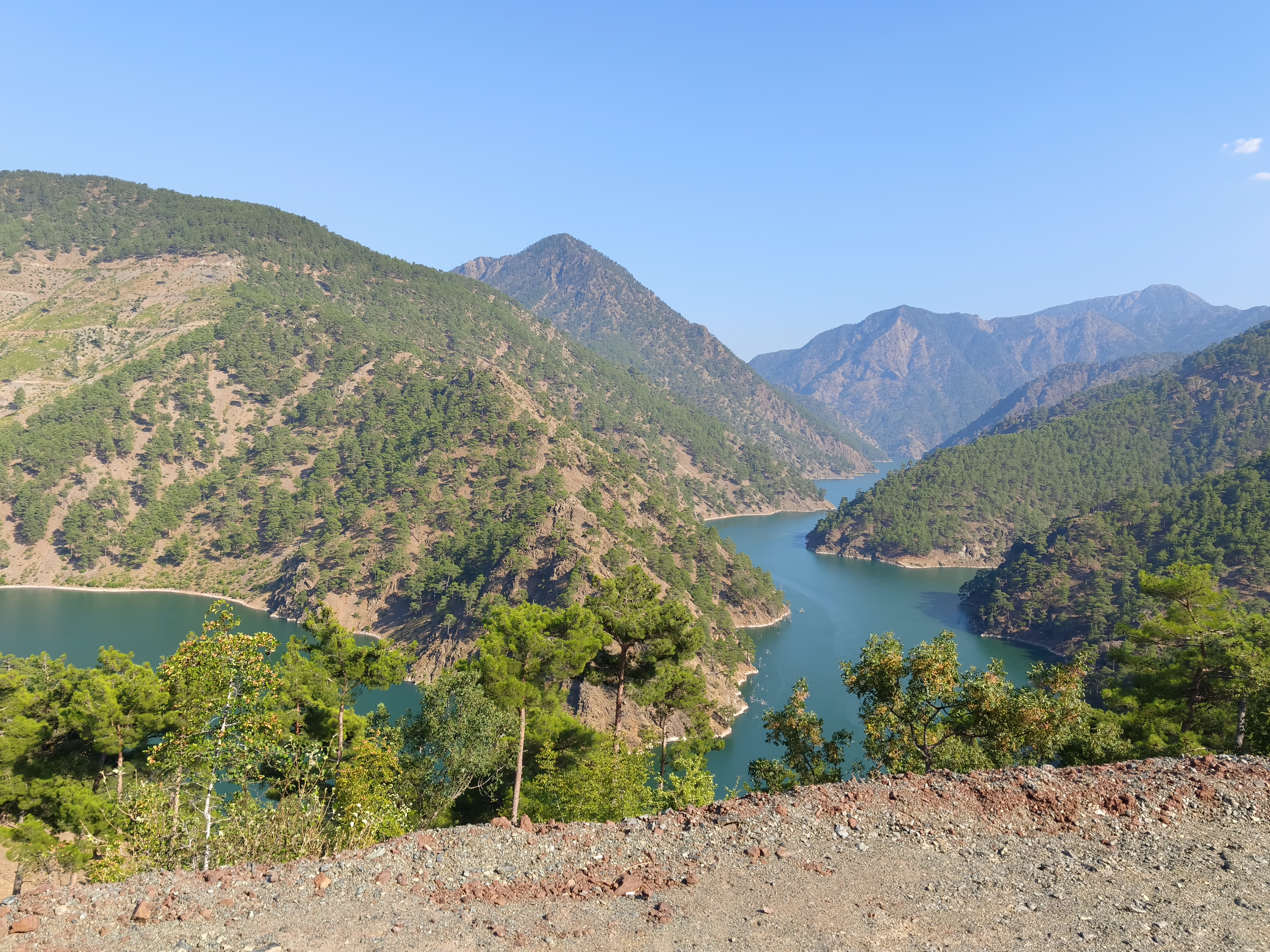
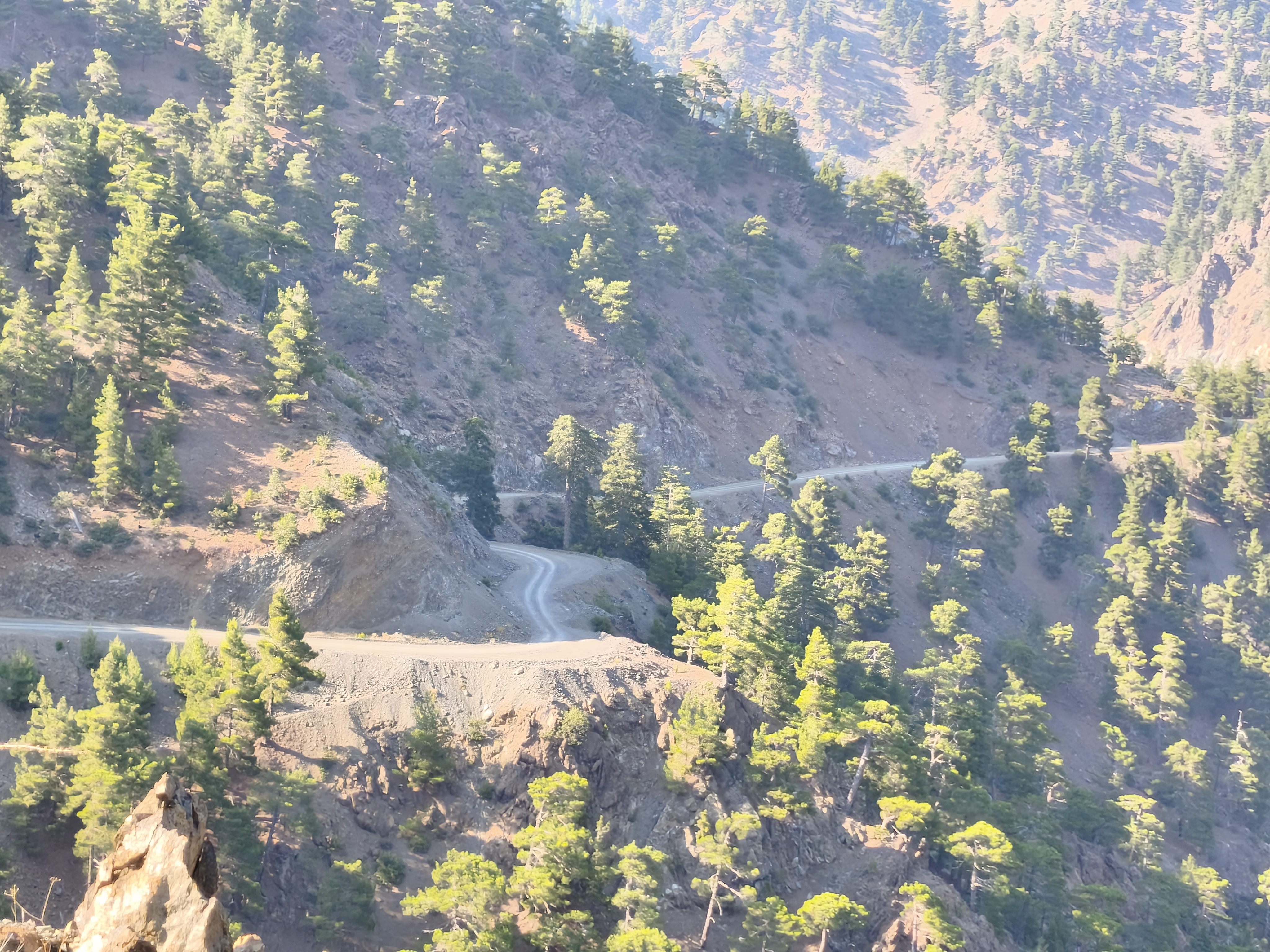
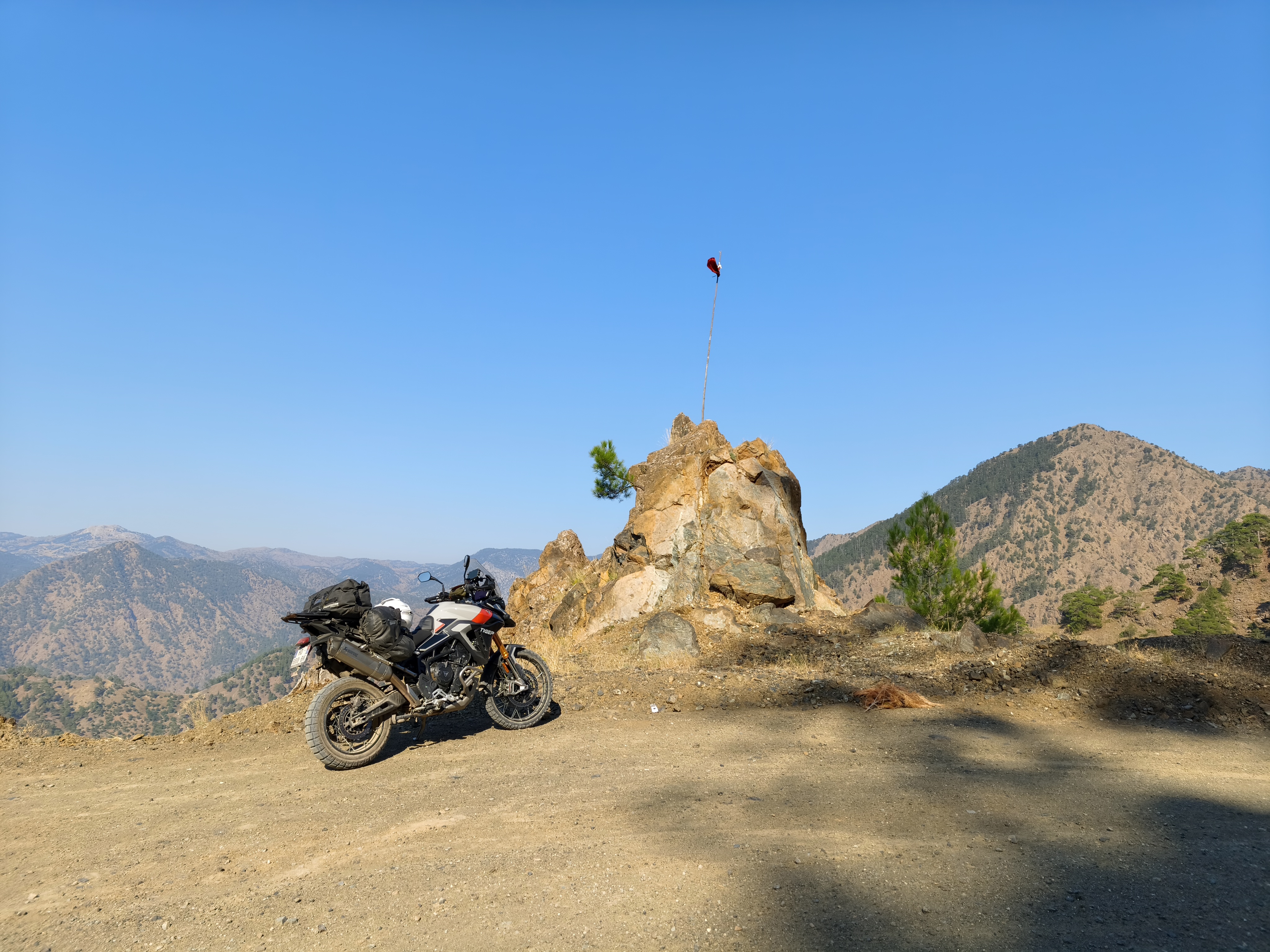
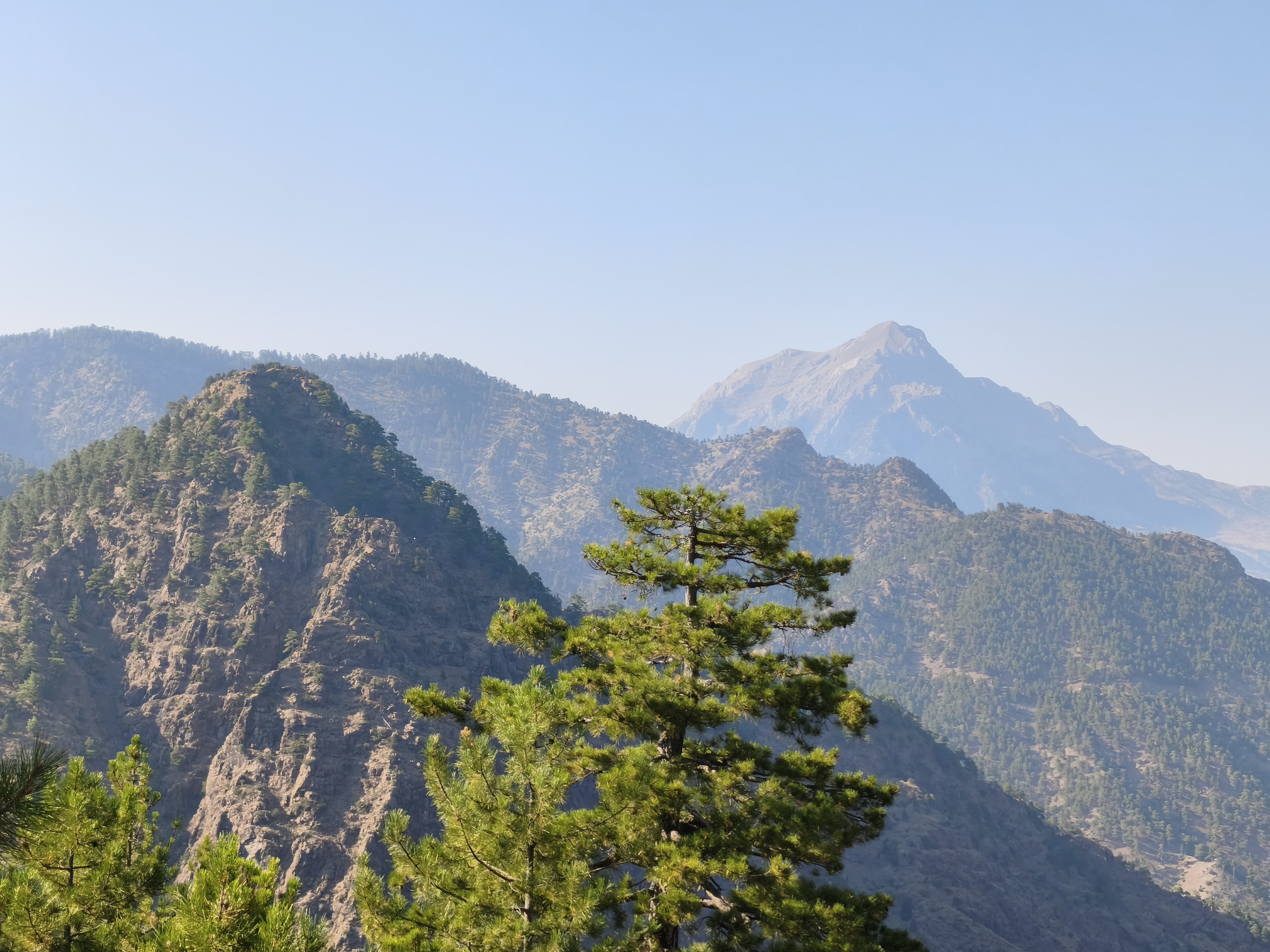
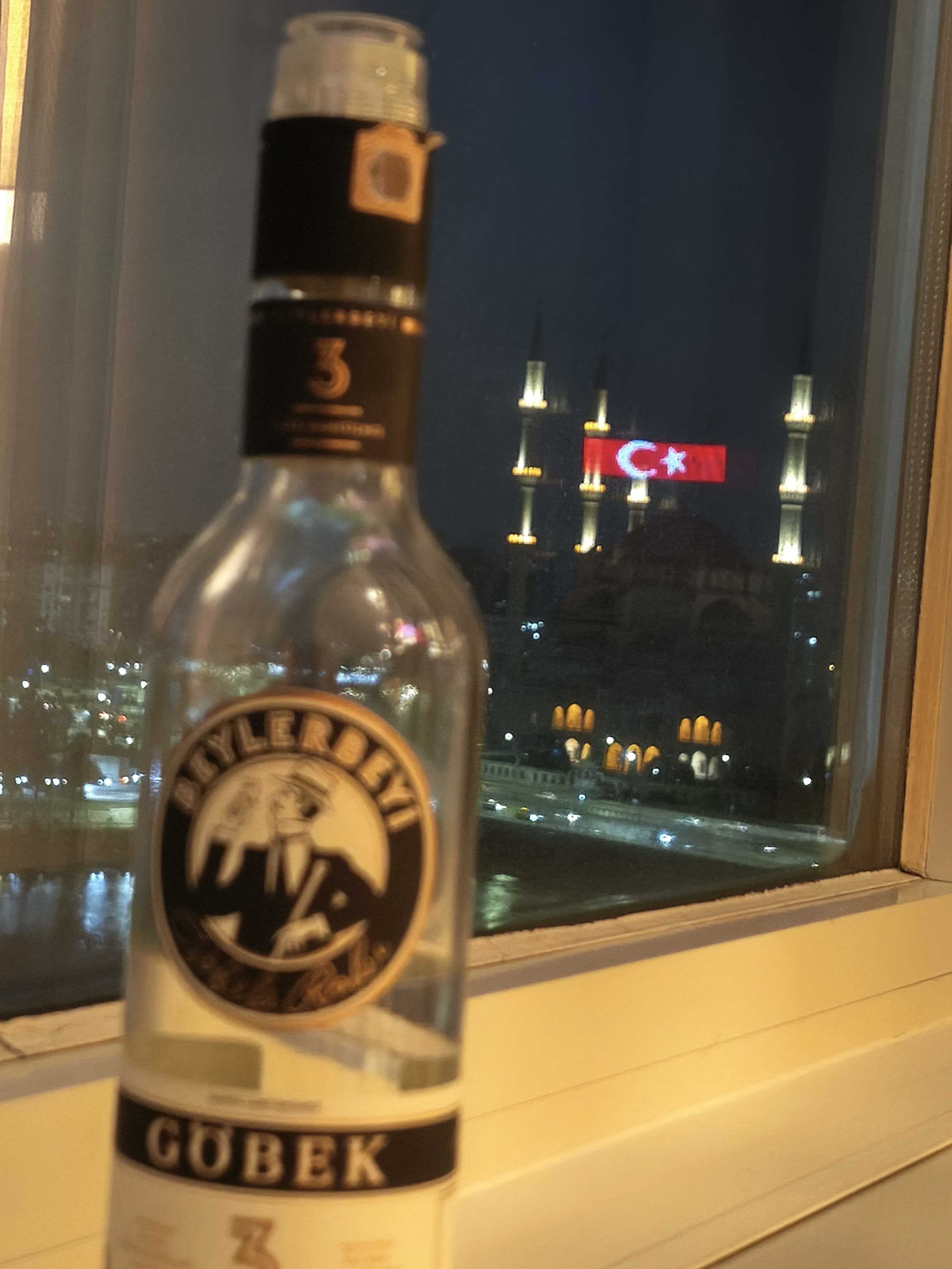
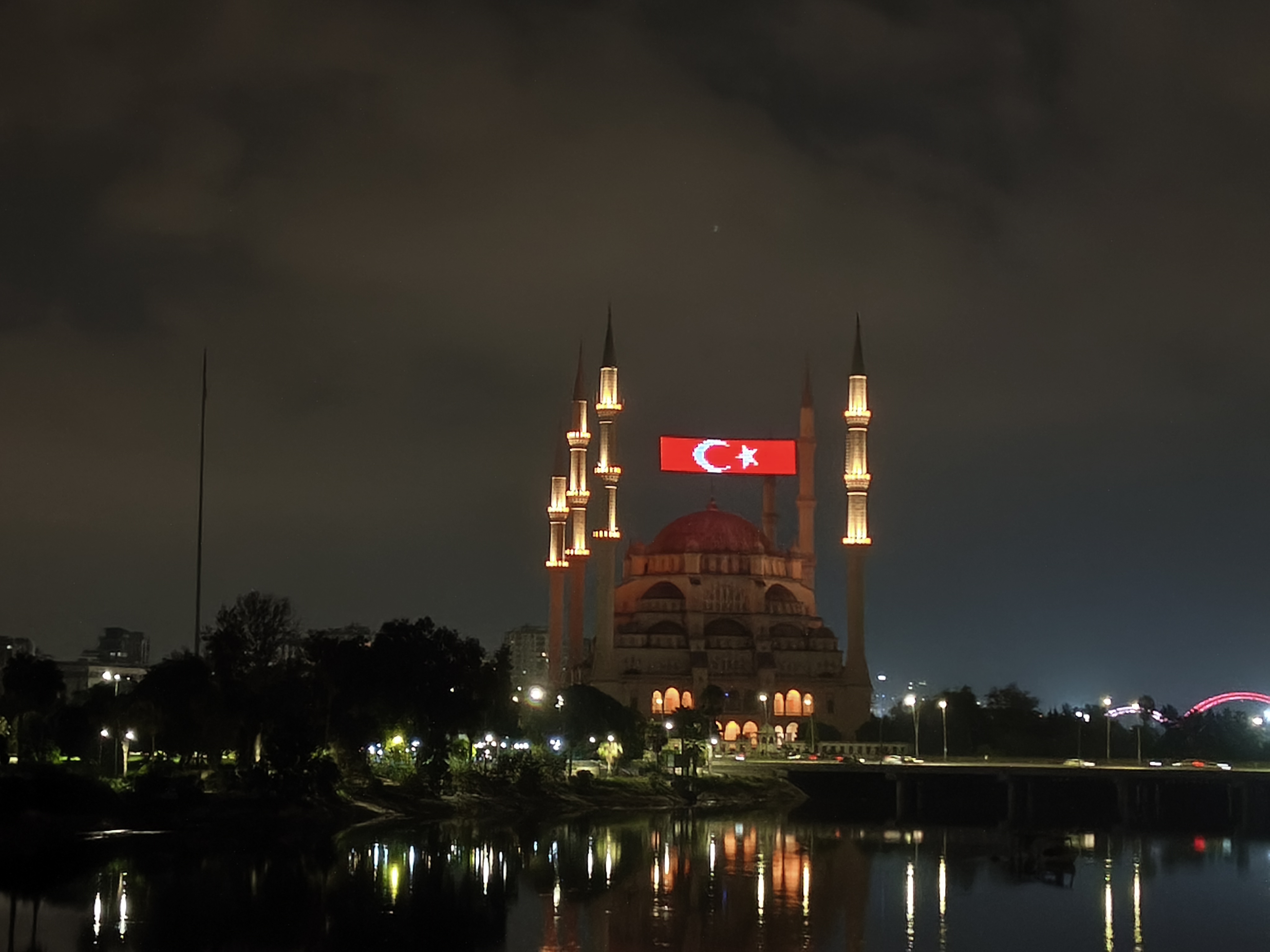
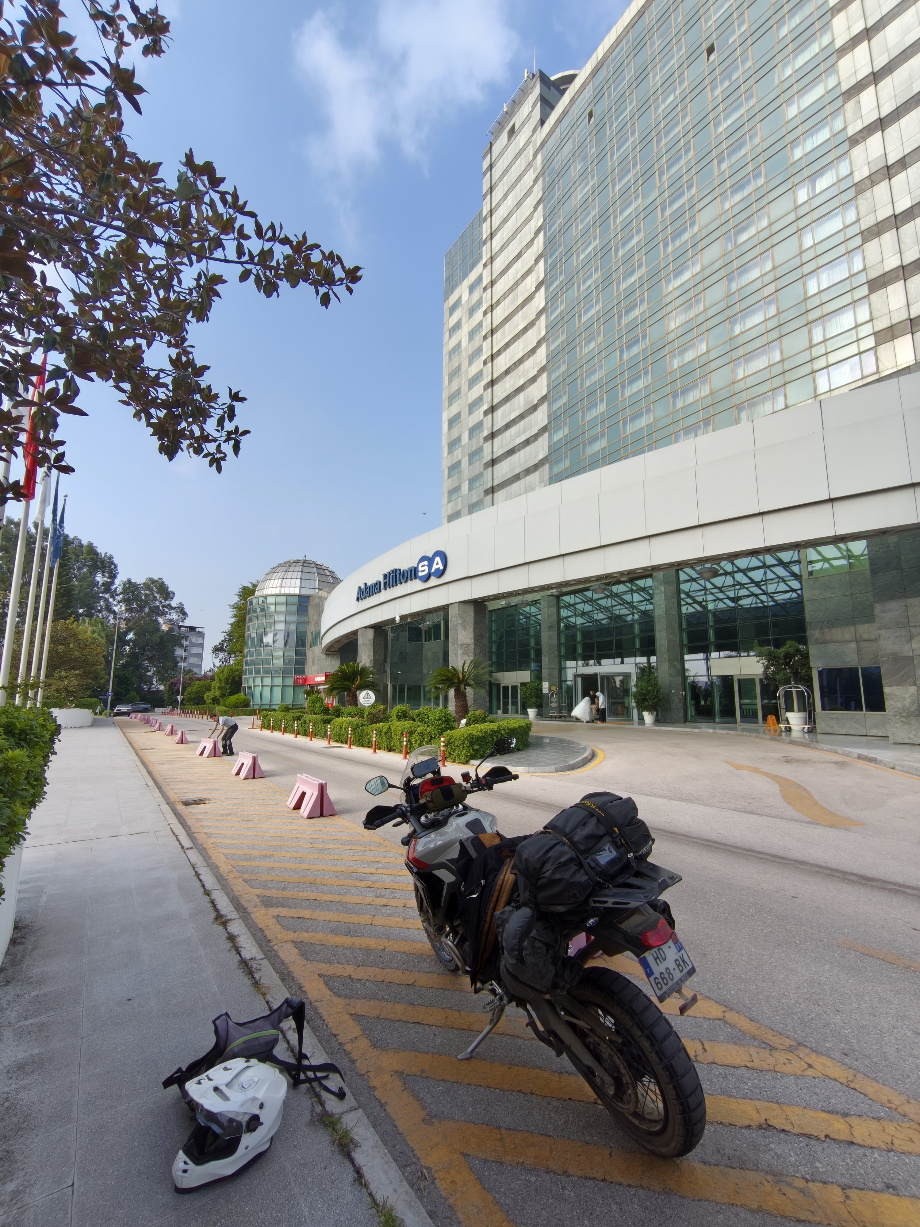
Departure from the foot of Mount Erciyes to cross vast, dried-up salt flats. What follows is the crossing of one of Turkey’s most beautiful mountain ranges: the Aladağlar. Over 140 km of rocky off-road tracks through the peaks in 39°C heat, leading to the Kapuzbaşı waterfalls—torrents of icy water gushing directly out of the sheer rock face! Spectacular! Next to this rushing torrent and these cascades, the water instantly cools the air. Descent toward the giant city of Adana, where navigating urban traffic feels like a matter of divine protection. So I took out a subscription to Allah’s protection to blend into this traffic madness myself—with complete success! A departure from my usual accommodation habits: a comfortable night at the Hilton overlooking the mosque and the Ceyhan River.
Départ au pied du volcan Erciyes pour traverser d’immenses étendues salées asséchées. S’en suit la traversée de l’un des plus beaux massifs de Turquie : l’Aladağlar. Plus de 140 km de pistes pierreuses à travers les sommets sous 39°C, menant aux cascades de Kapuzbaşı : des torrents d’eau glacée jaillissant directement de la paroi rocheuse ! Spectaculaire ! Au bord de ce torrent et de ces cascades, l’eau rafraichit subitement l’atmosphère. Descente vers la ville géante d’Adana, où la navigation dans le trafic urbain semble relever de la protection de Allah. J’ai donc pris un abonnement à sa protection pour moi-même me fondre dans cette folie routière, avec succès ! Écart par rapport à mes habitudes d’hébergement : nuit confortable au Hilton surplombant la mosquée et le fleuve Ceyhan.
Day #20: Adana – Ortahisar (Cappadocia). Distance: 385 km (335 km Road / 50 km Off-road)
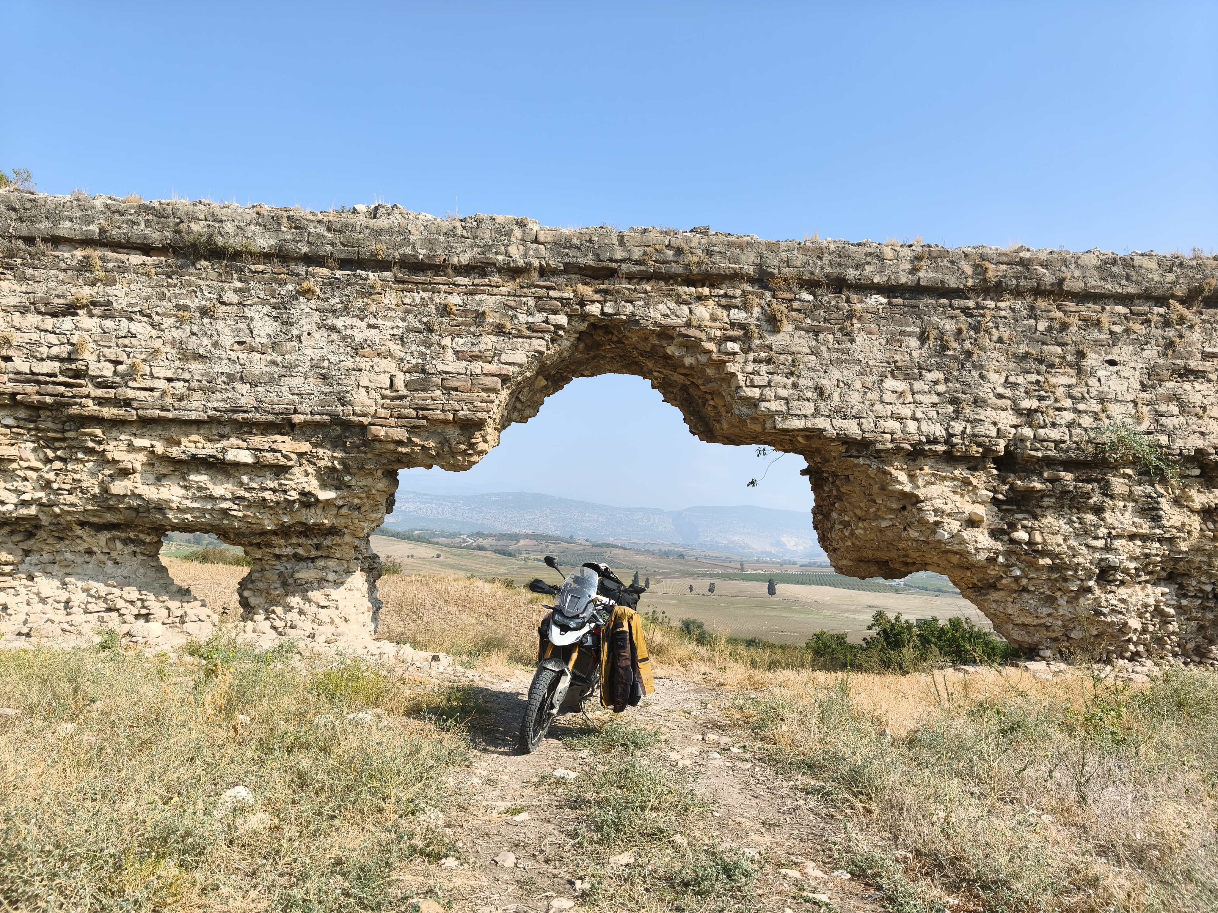
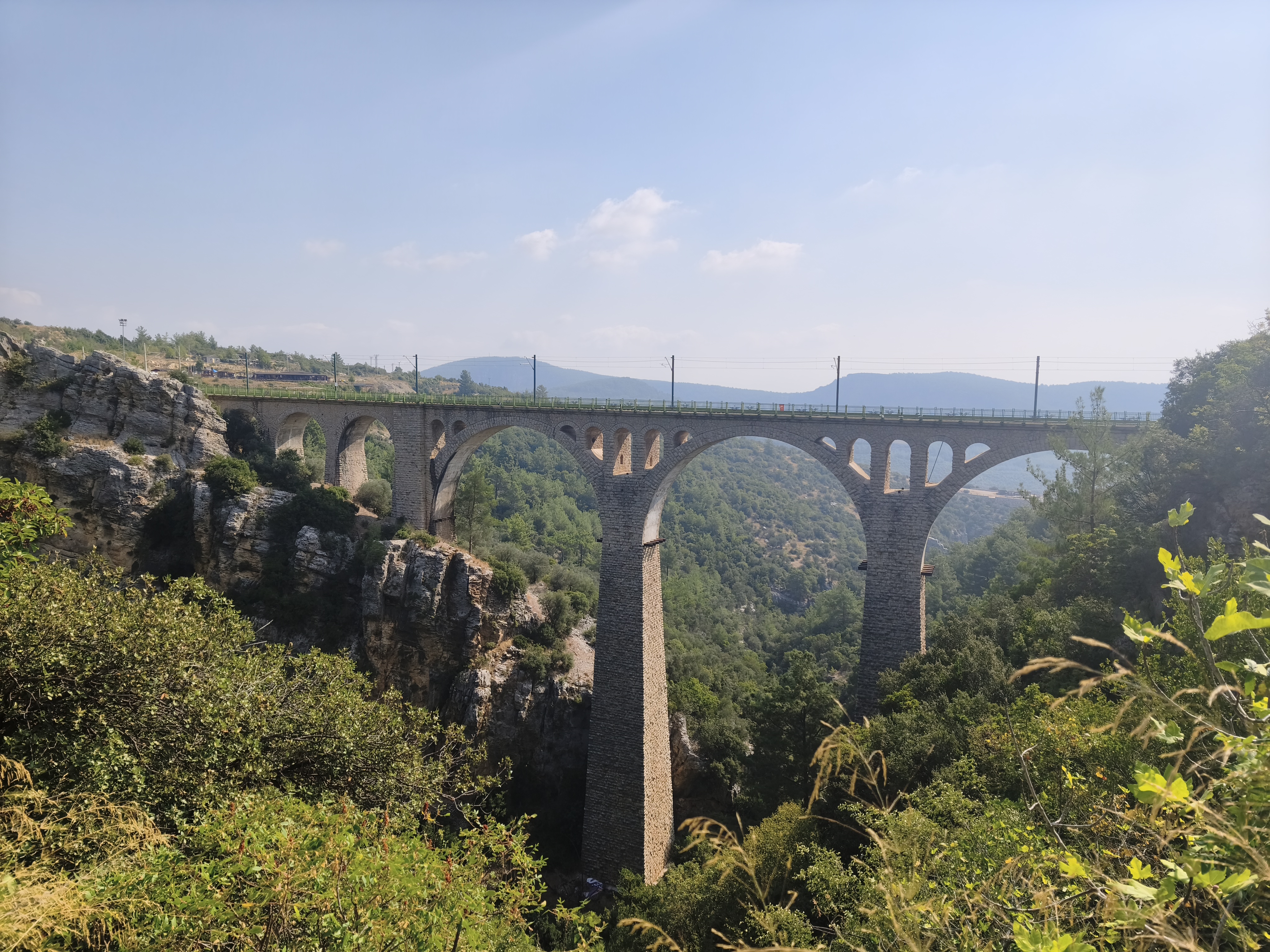
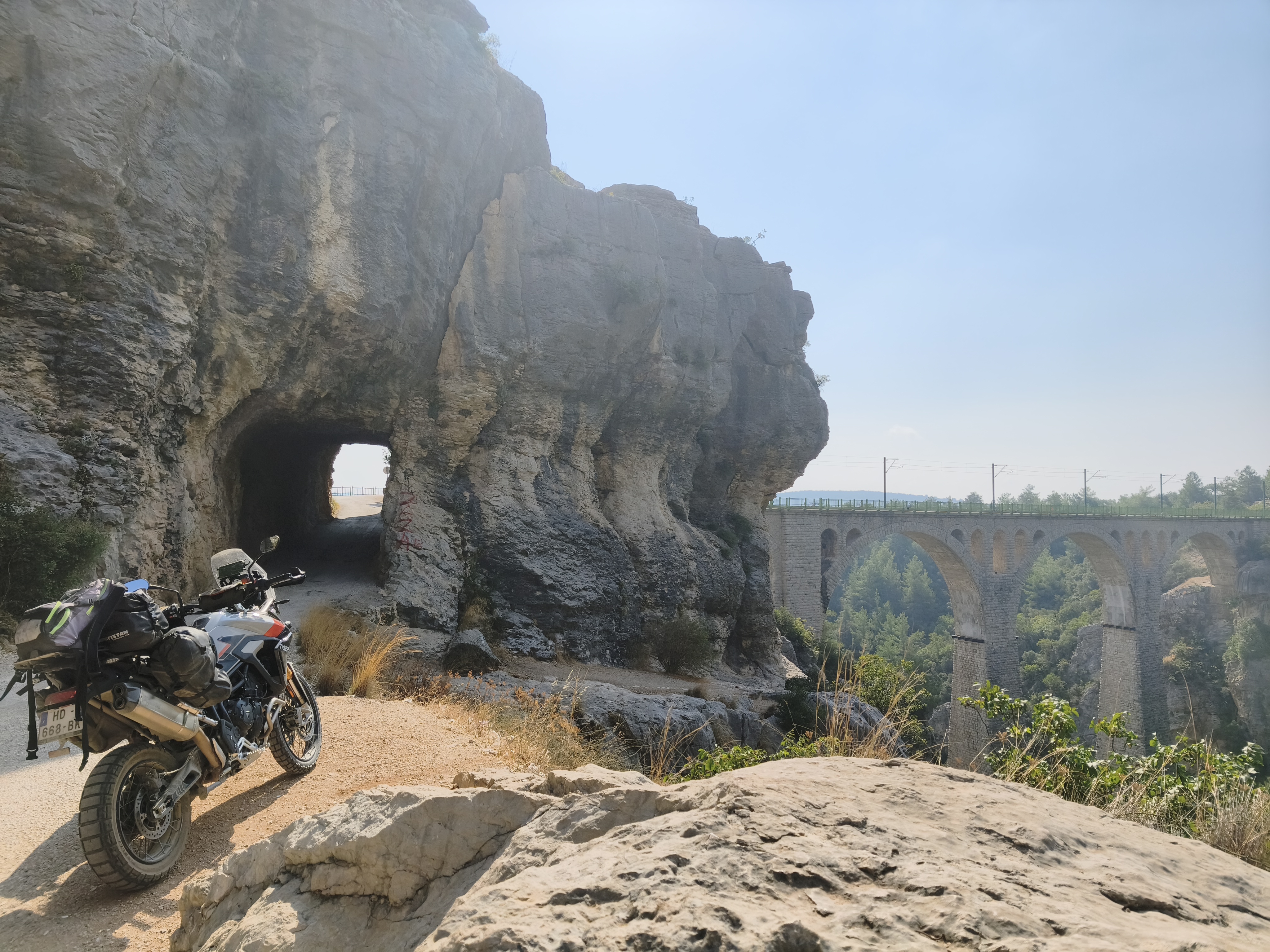
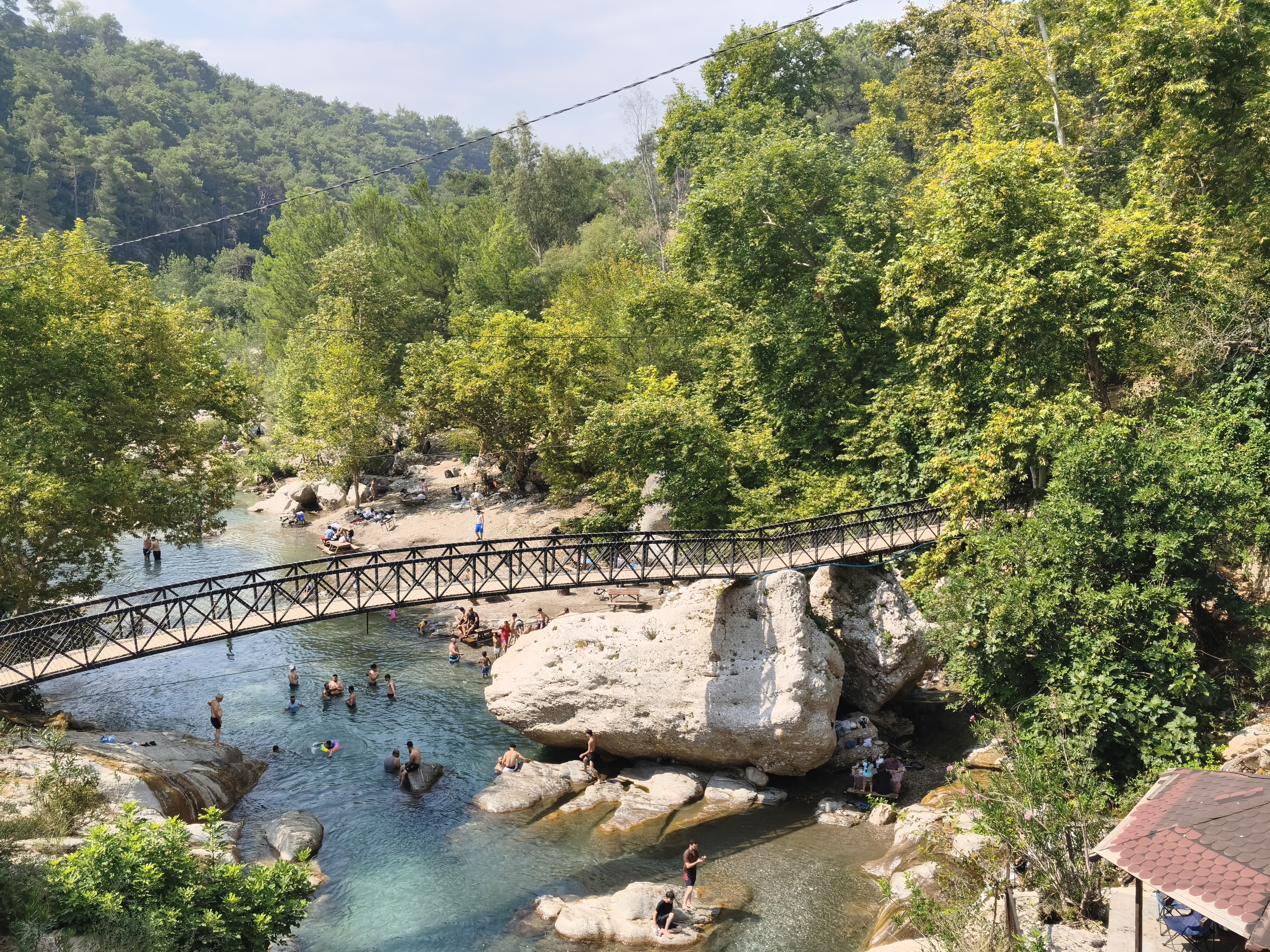
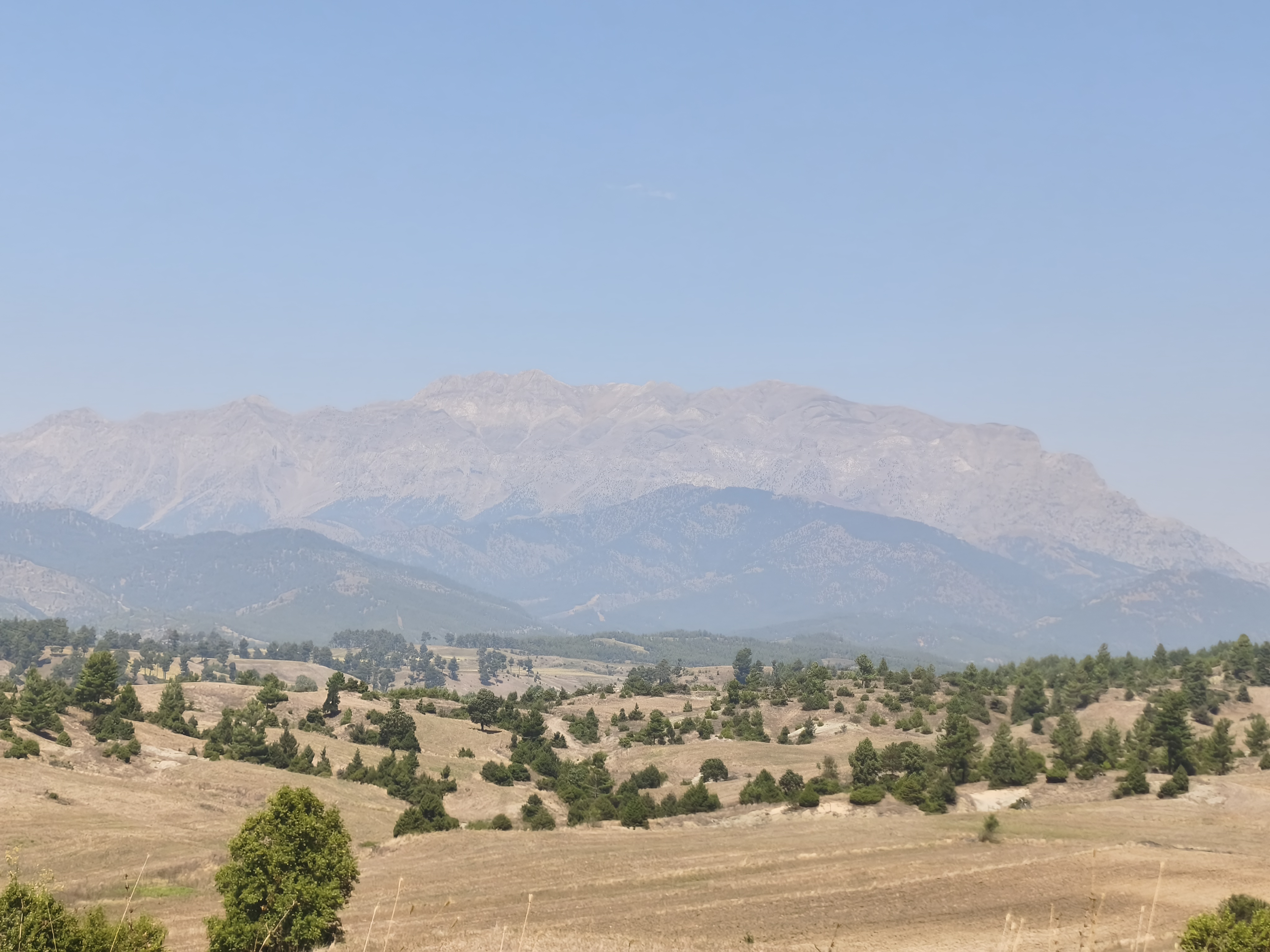
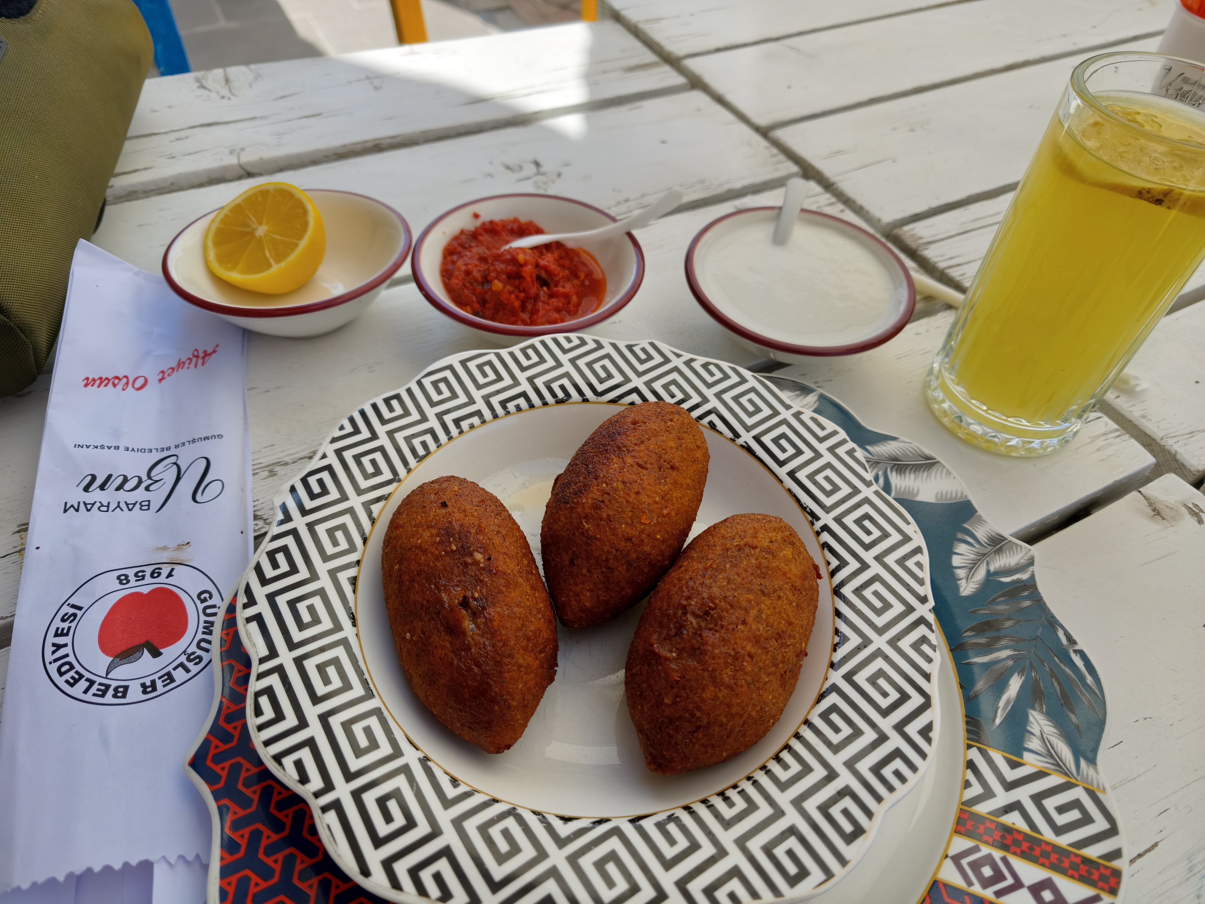
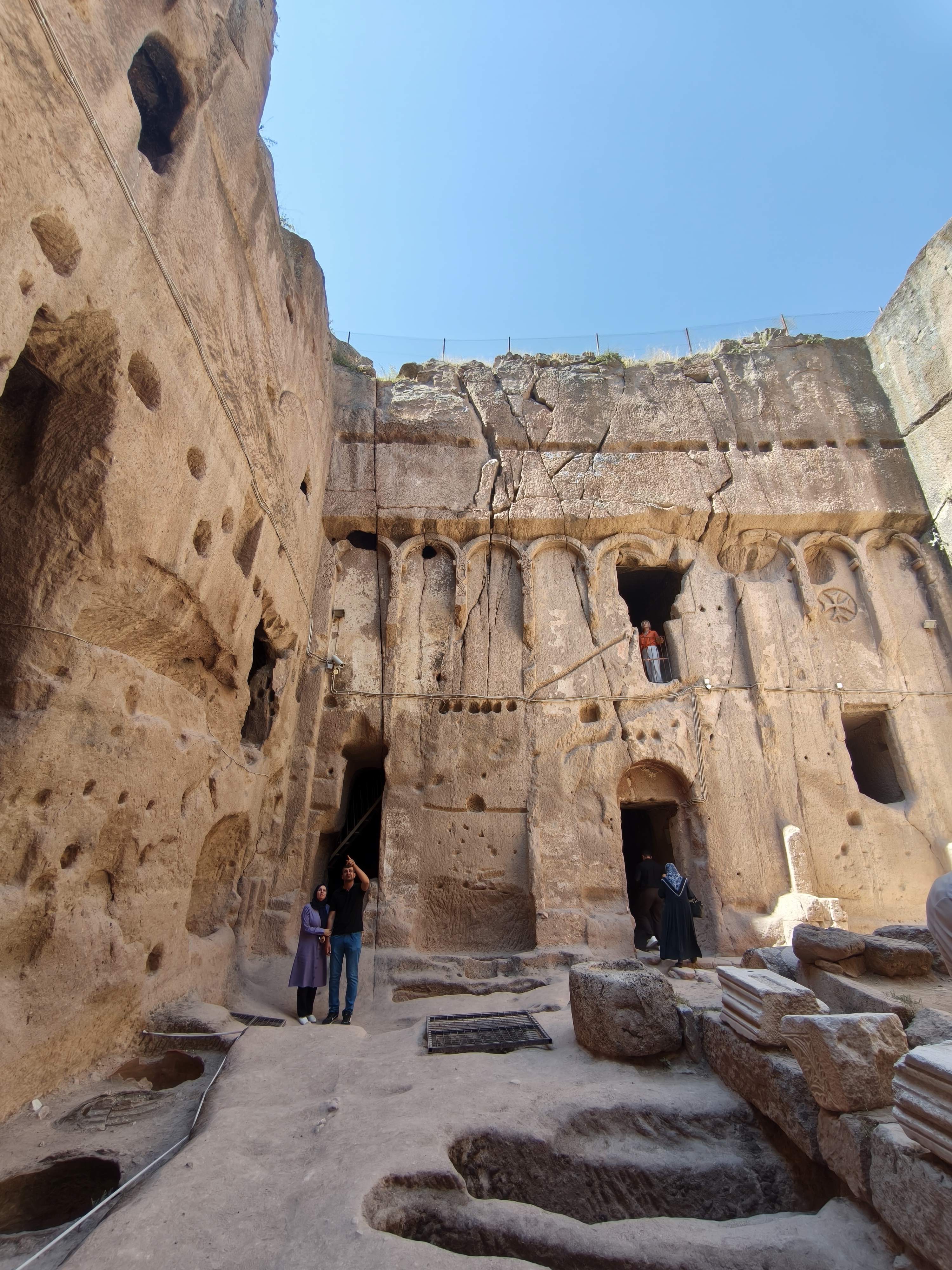
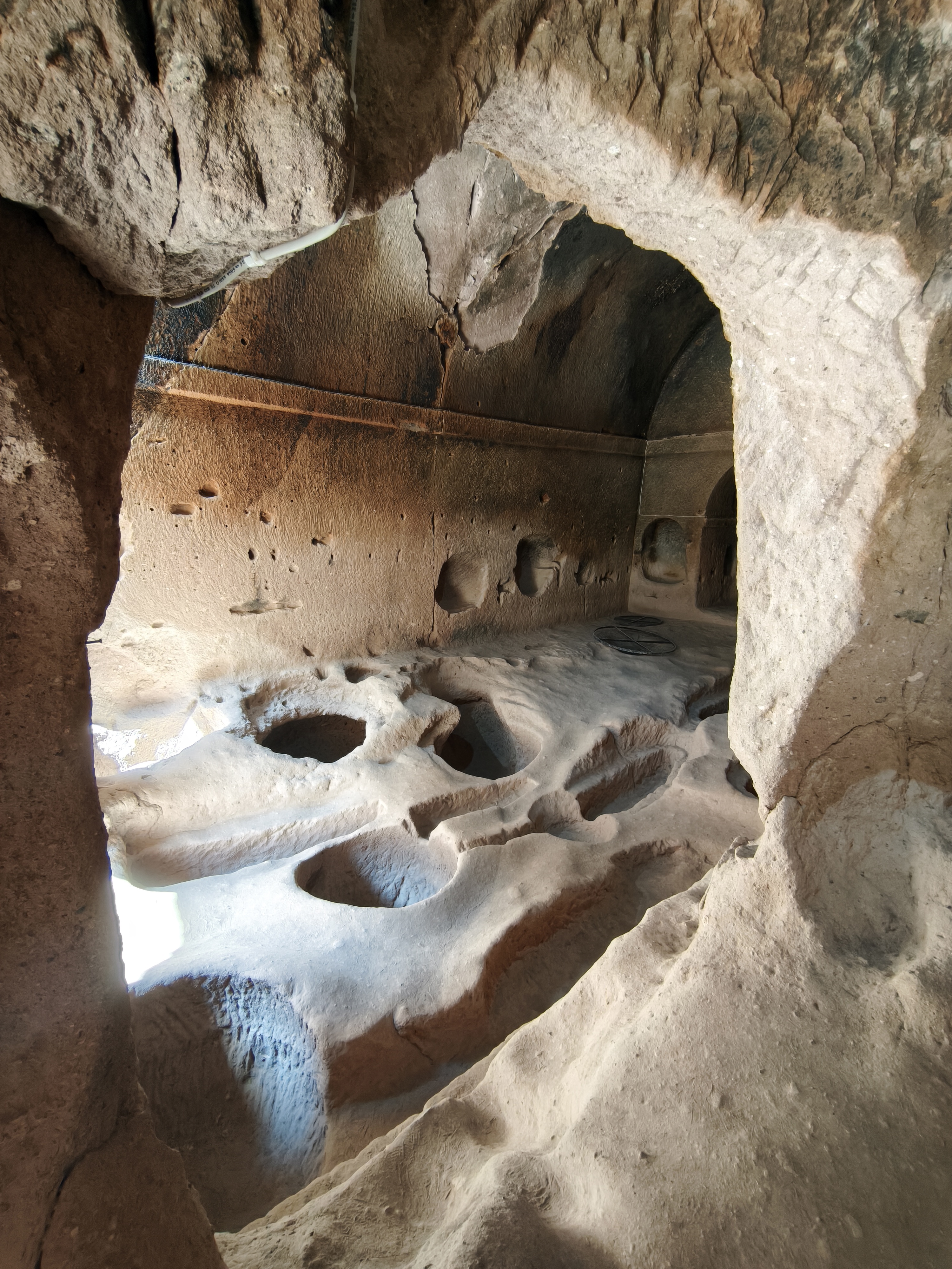
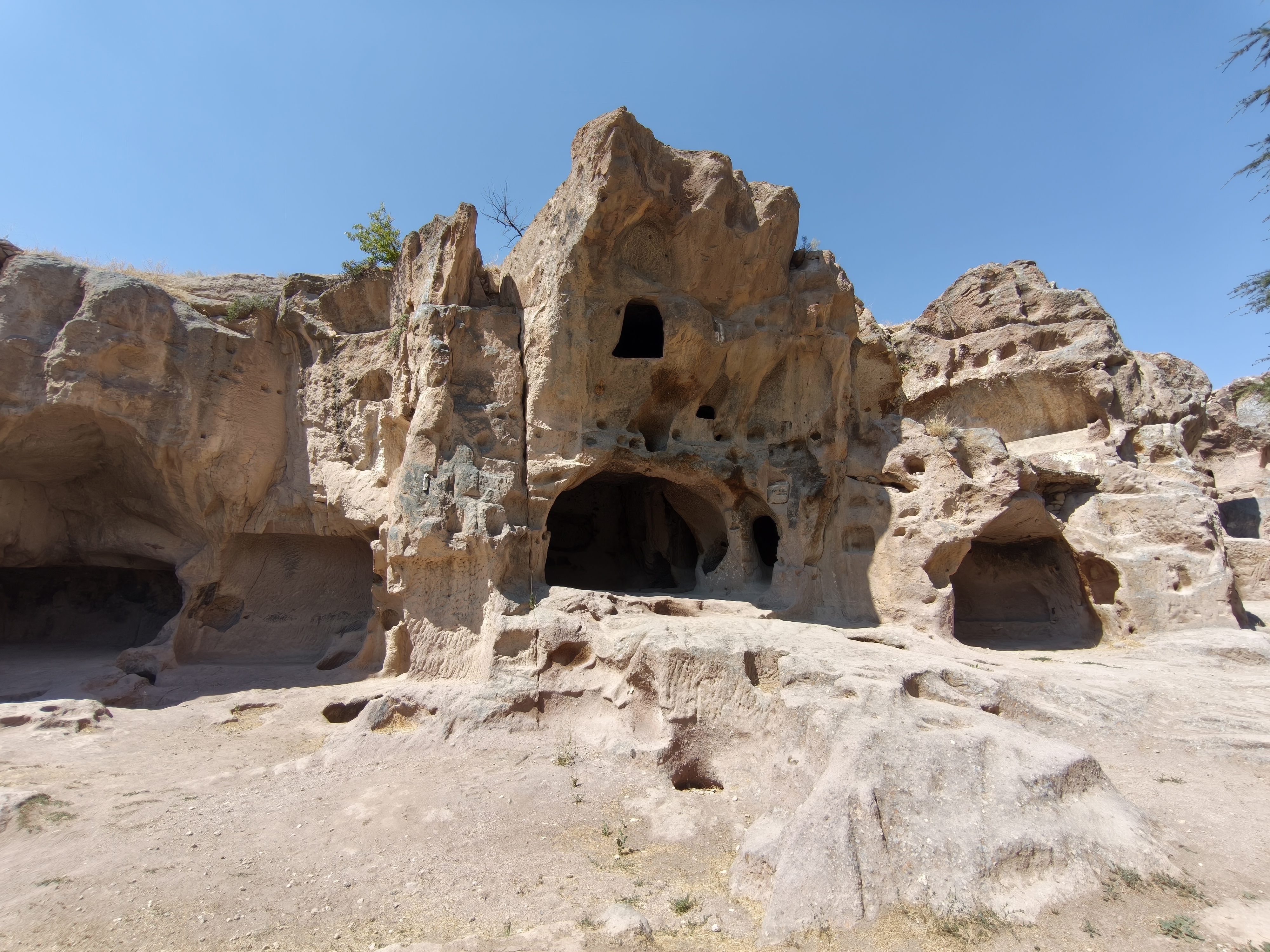
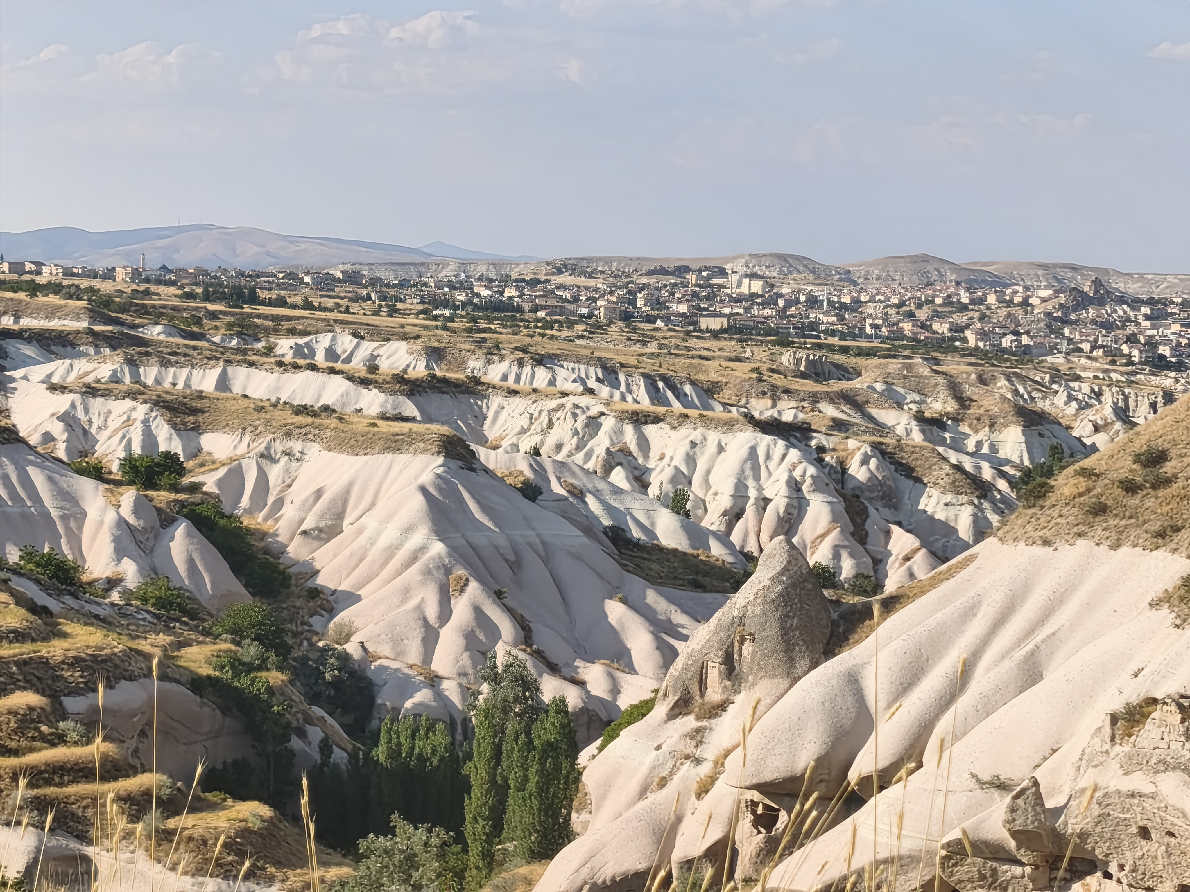
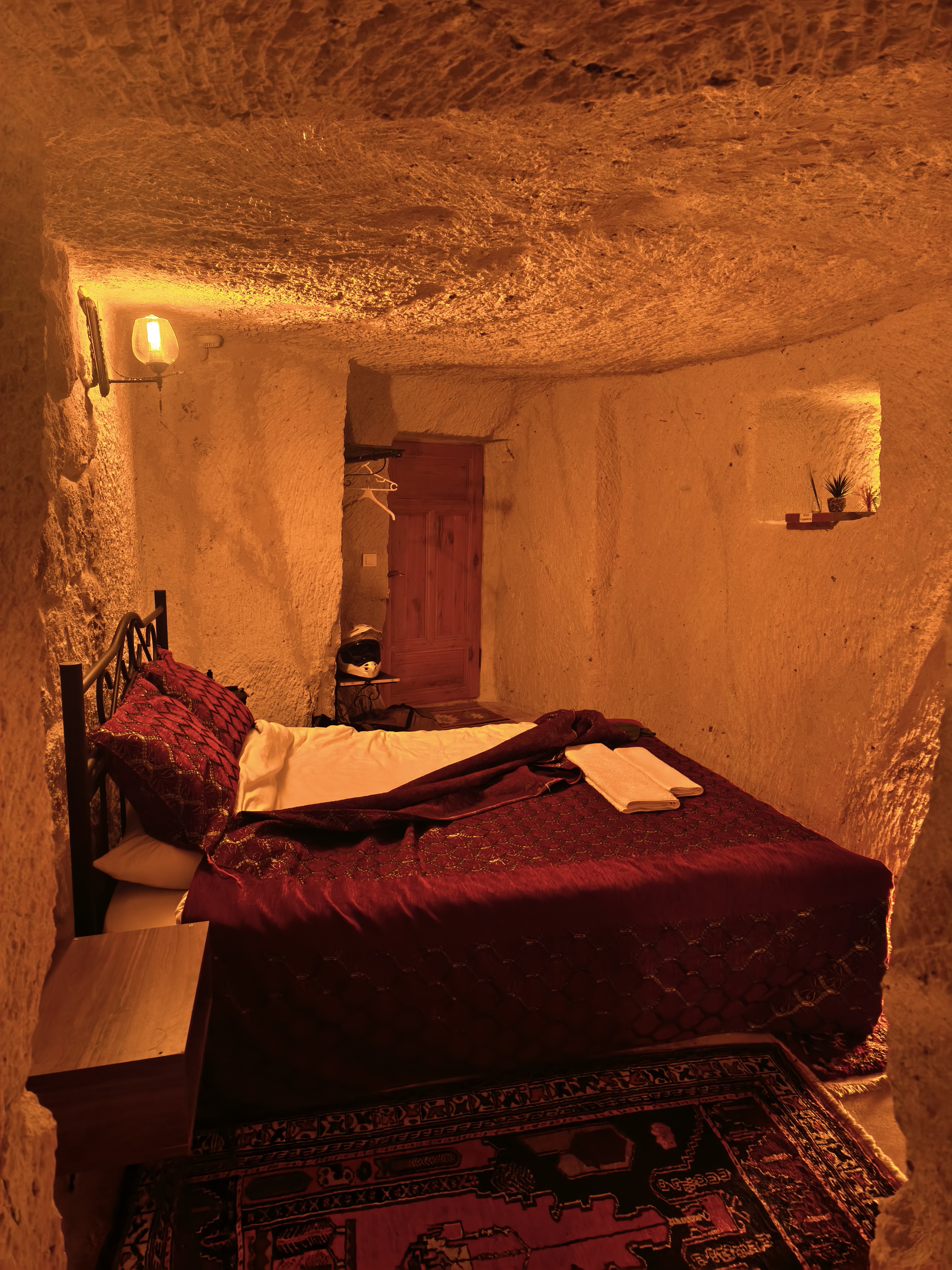
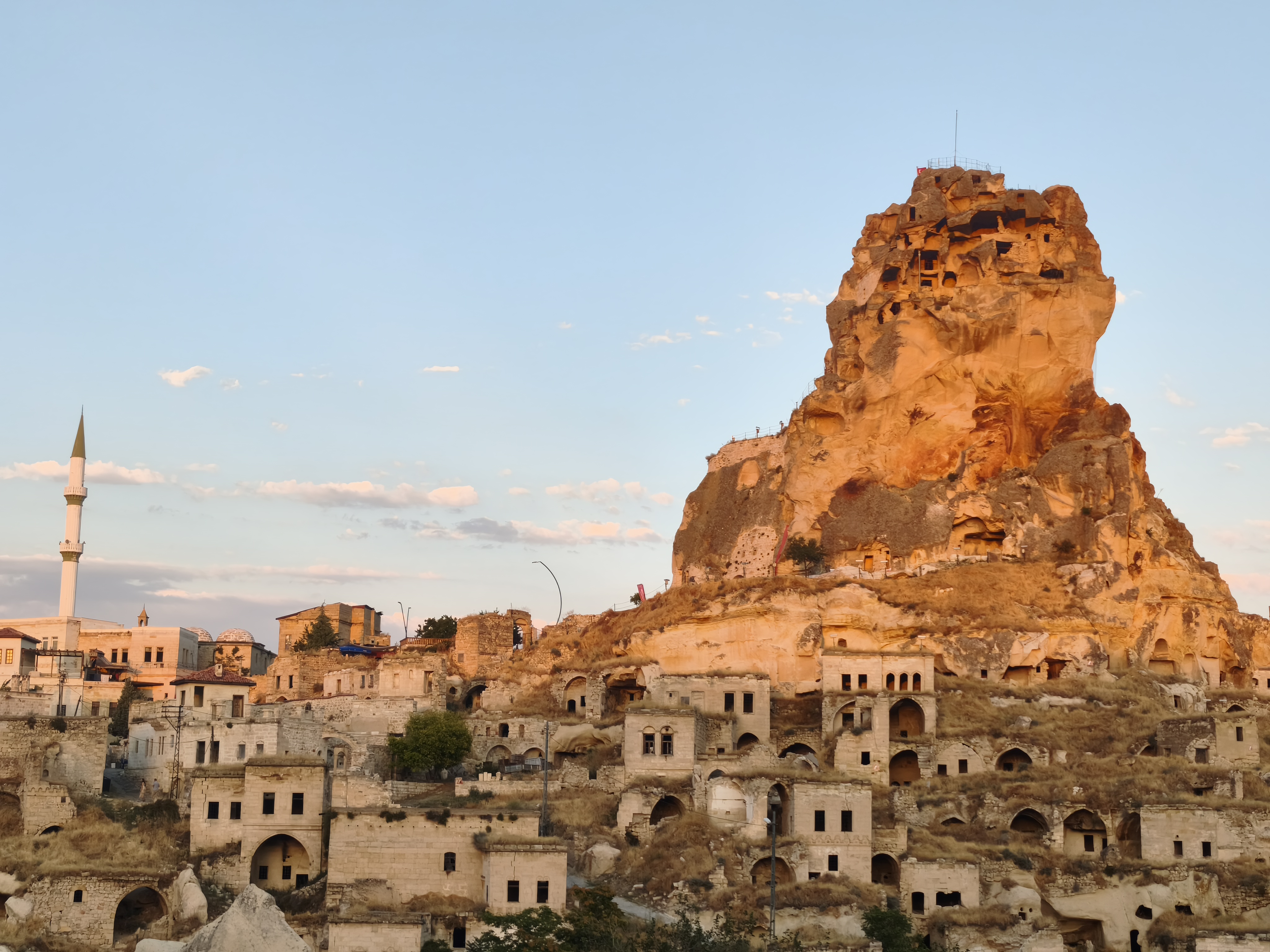
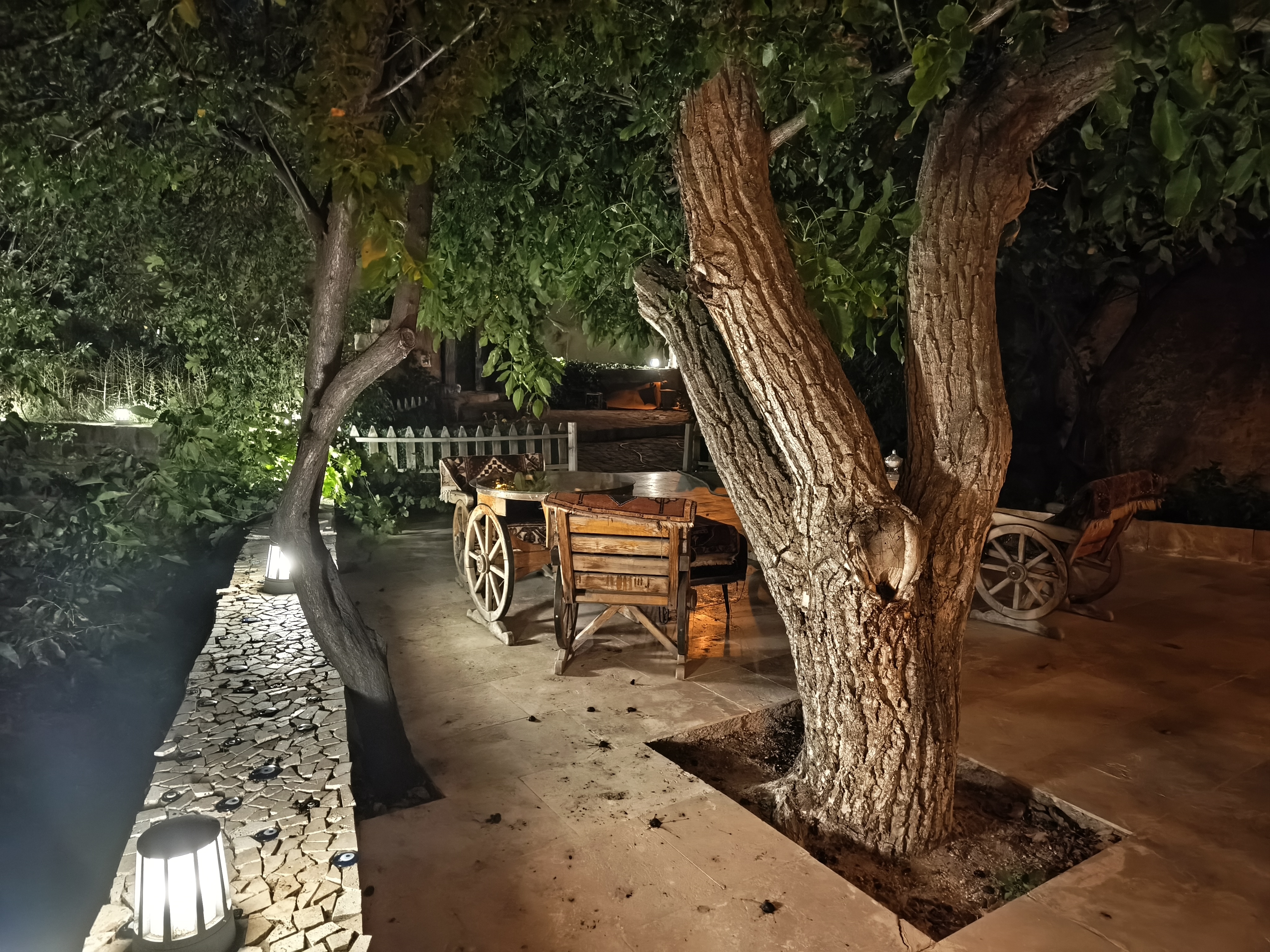
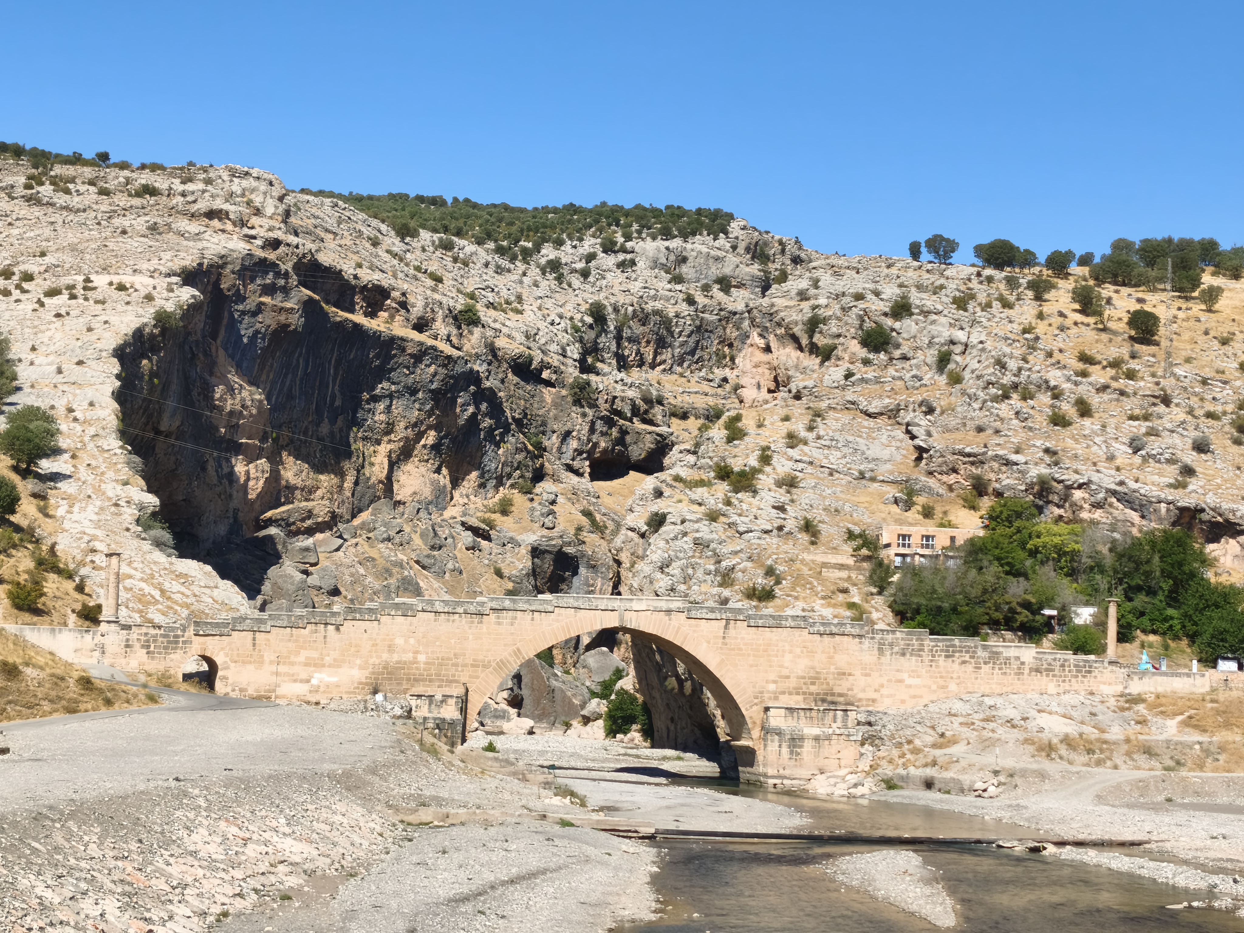
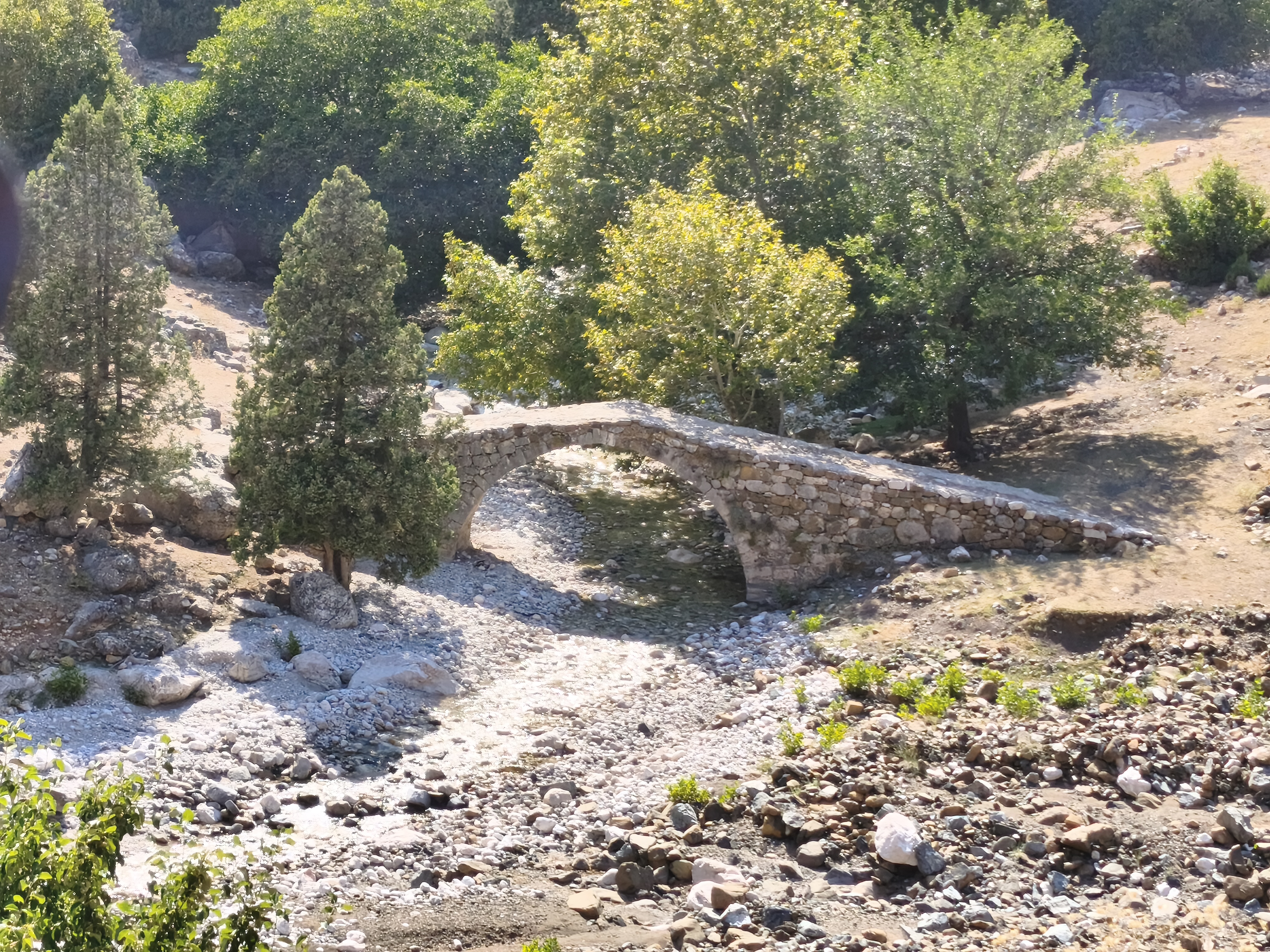
After passing over the Roman bridge of Taşköprü in Adana, heading north. Another crossing of the Aladağlar along a different route to climb back onto the high plateaus. At the foot of the mountains stands the beautiful and remarkably preserved Ottoman caravanserai of Kesirhan. It served as a major stopover on the trade route connecting Syria (Aleppo) to Central Anatolia and the rest of the Ottoman Empire. Next comes the impressive Varda Railway Viaduct. Along the way, a striking stop at the Gümüşler Monastery, a Byzantine complex fully excavated out of a rocky outcrop and housing 10th-century frescoes. From there, sandy tracks lead into Cappadocia from the south: a wild, discreet entrance far from the crowds. Check-in at Ortahisar, a village dominated by its striking rock castle. Night in a naturally cool cave room (16°C).
Après un passage par le pont romain de Taşköprü à Adana, cap au nord. Nouvelle traversée de l’Aladağlar par un tracé différent pour remonter sur les hauts plateaux. Au pied des montagnes, le très beau et encore sur pied caravansérail ottoman de Kesirhan. Il servait de halte majeure sur la route commerciale reliant la Syrie (Alep) à l’Anatolie centrale et au reste de l’Empire ottoman. Puis l’impressionnant viaduc ferroviaire de Varda. En chemin, arrêt marquant au monastère de Gümüşler, un complexe byzantin entièrement excavé dans un piton rocheux et abritant des fresques du Xe siècle. De là, des pistes sableuses permettent de pénétrer en Cappadoce par le sud : une entrée sauvage et discrète, loin des foules. Installation à Ortahisar, village dominé par son impressionnant château rocheux. Nuit dans une chambre troglodyte naturellement fraîche (16°C).
Day #21: Ortahisar – Karapınar. Distance: 295 km (185 km Road / 110 km Off-road)
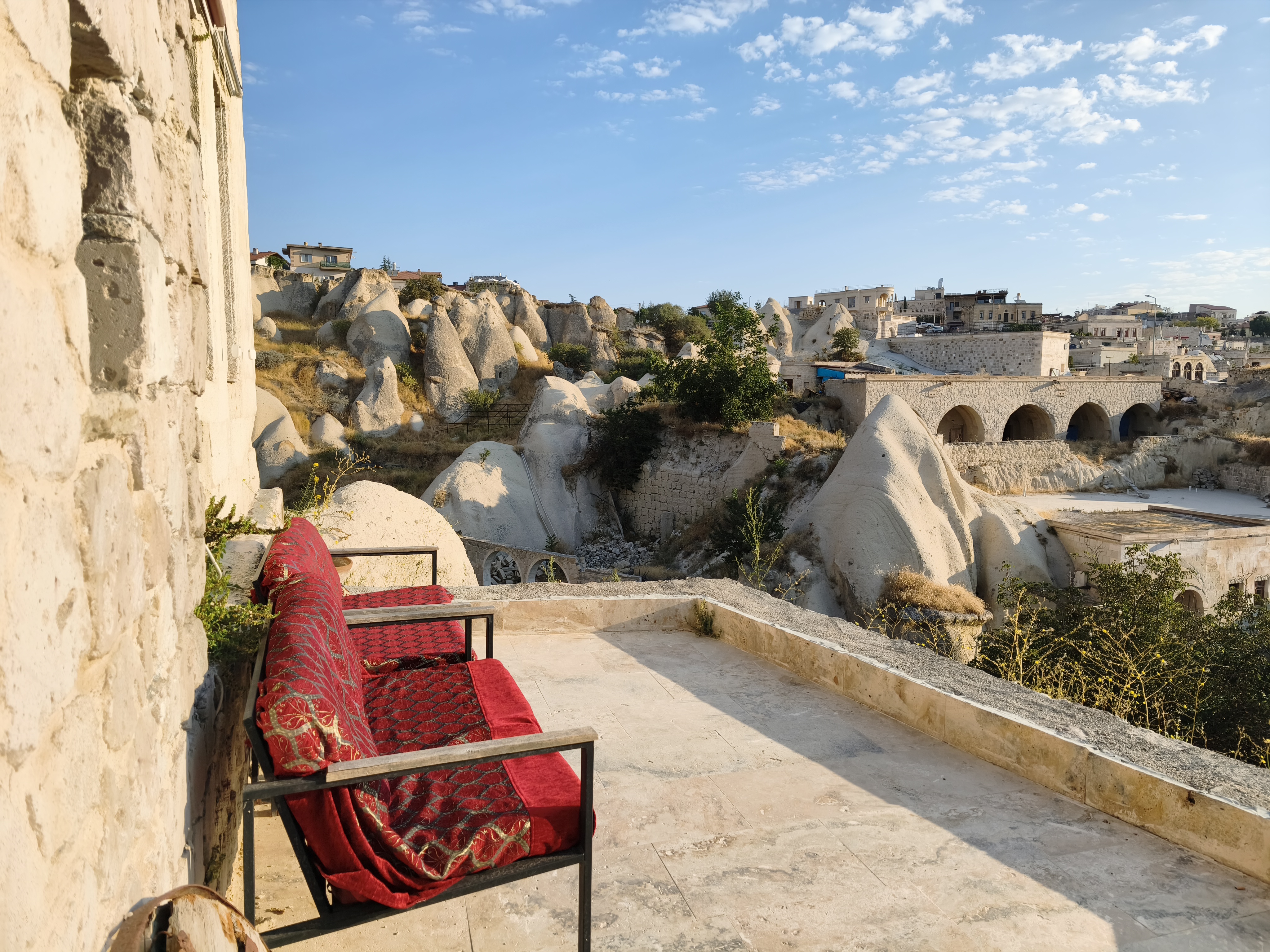
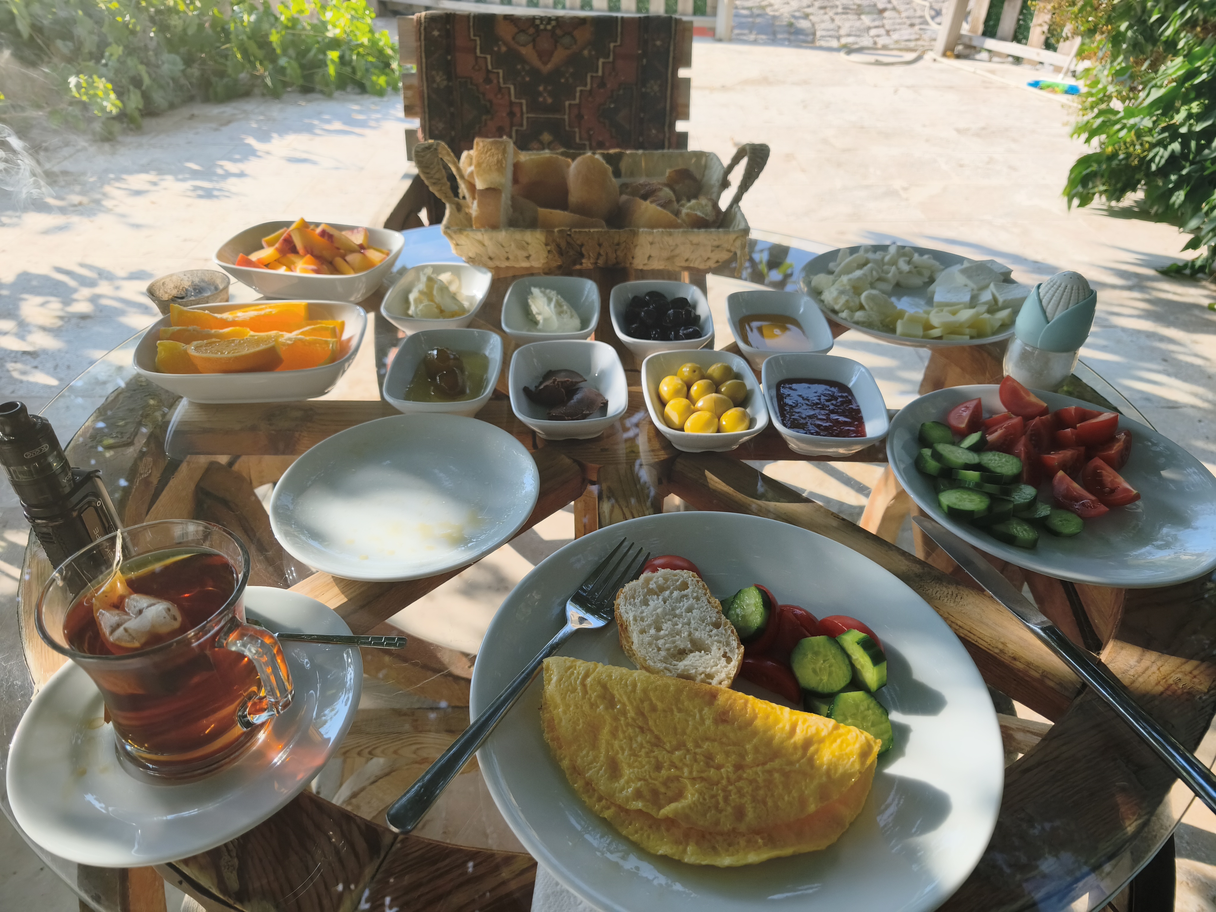
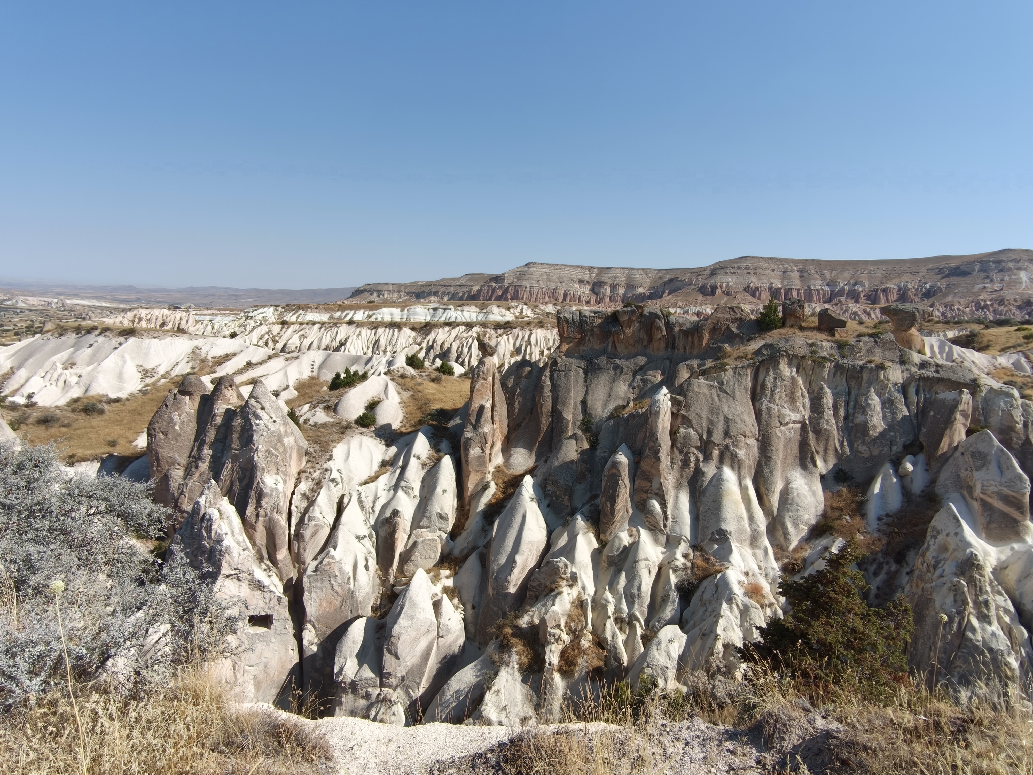
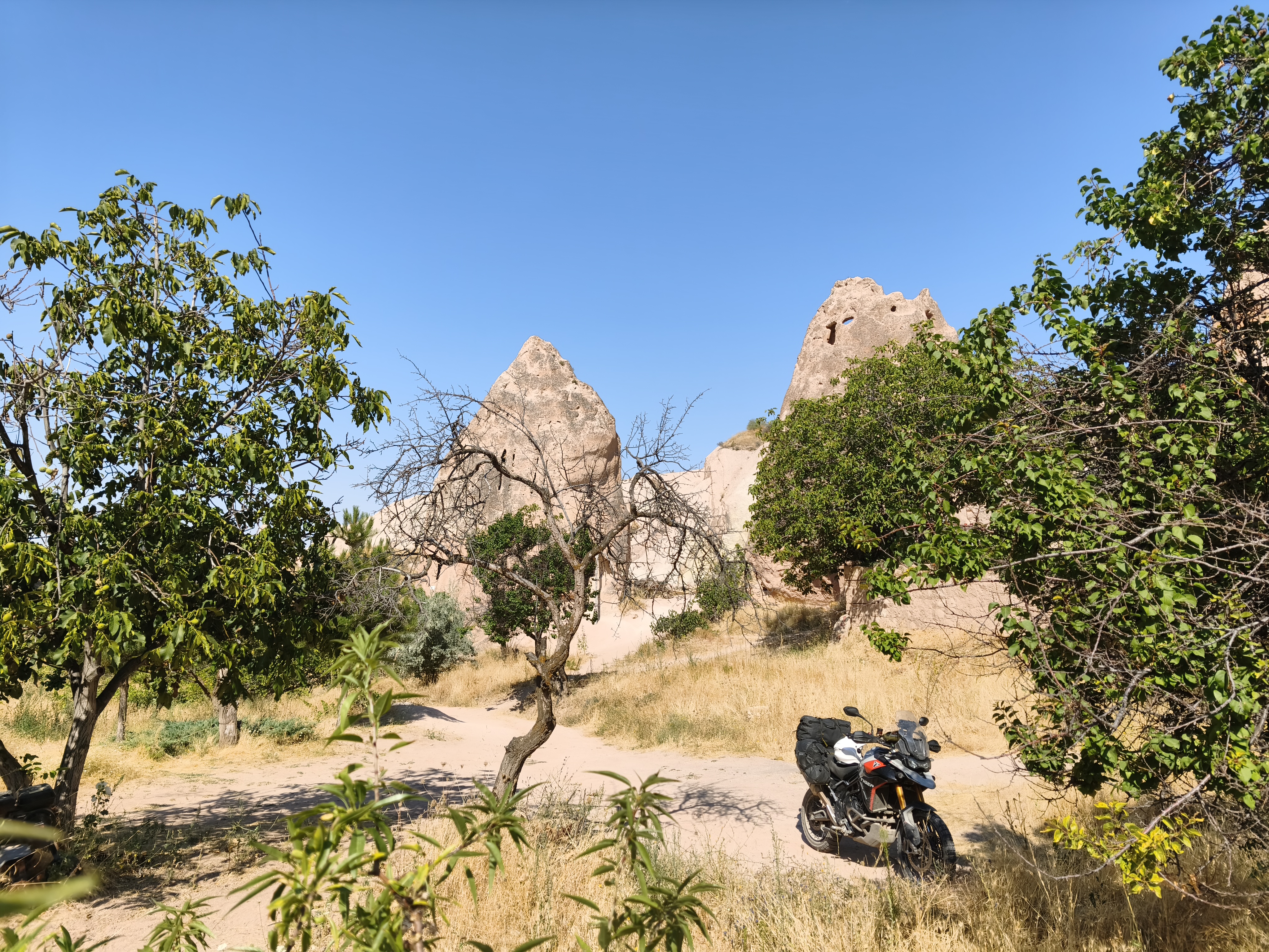
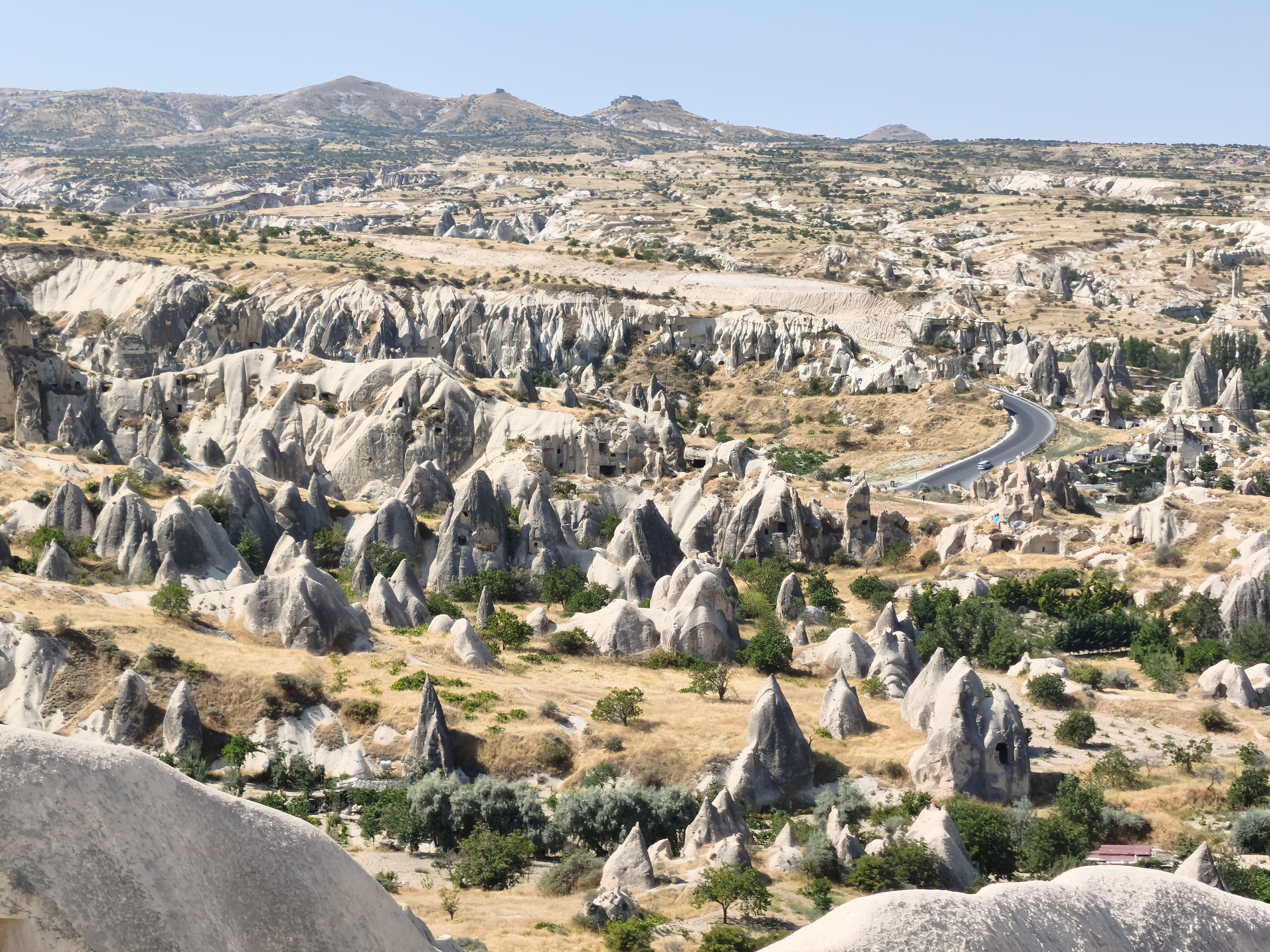
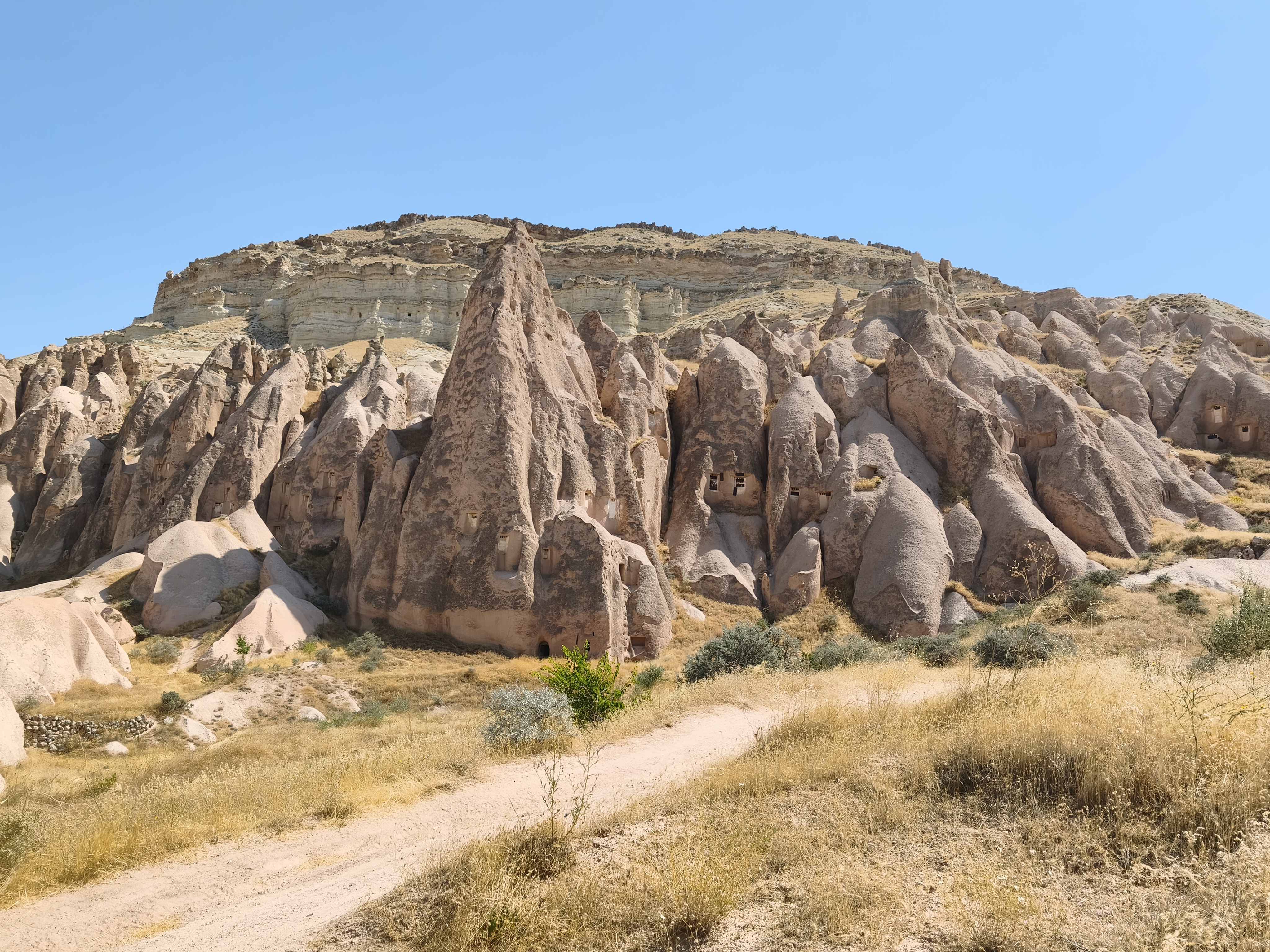
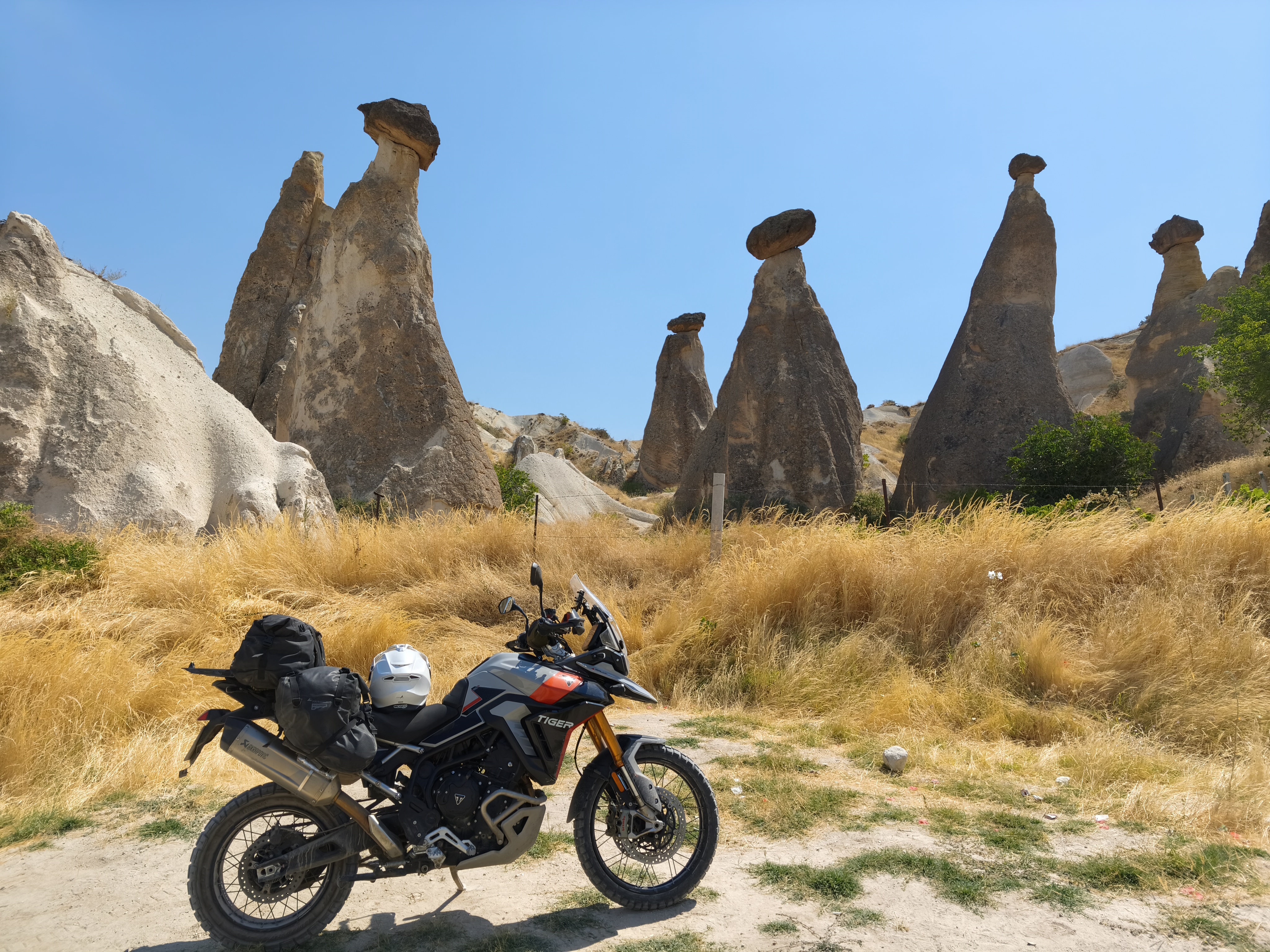
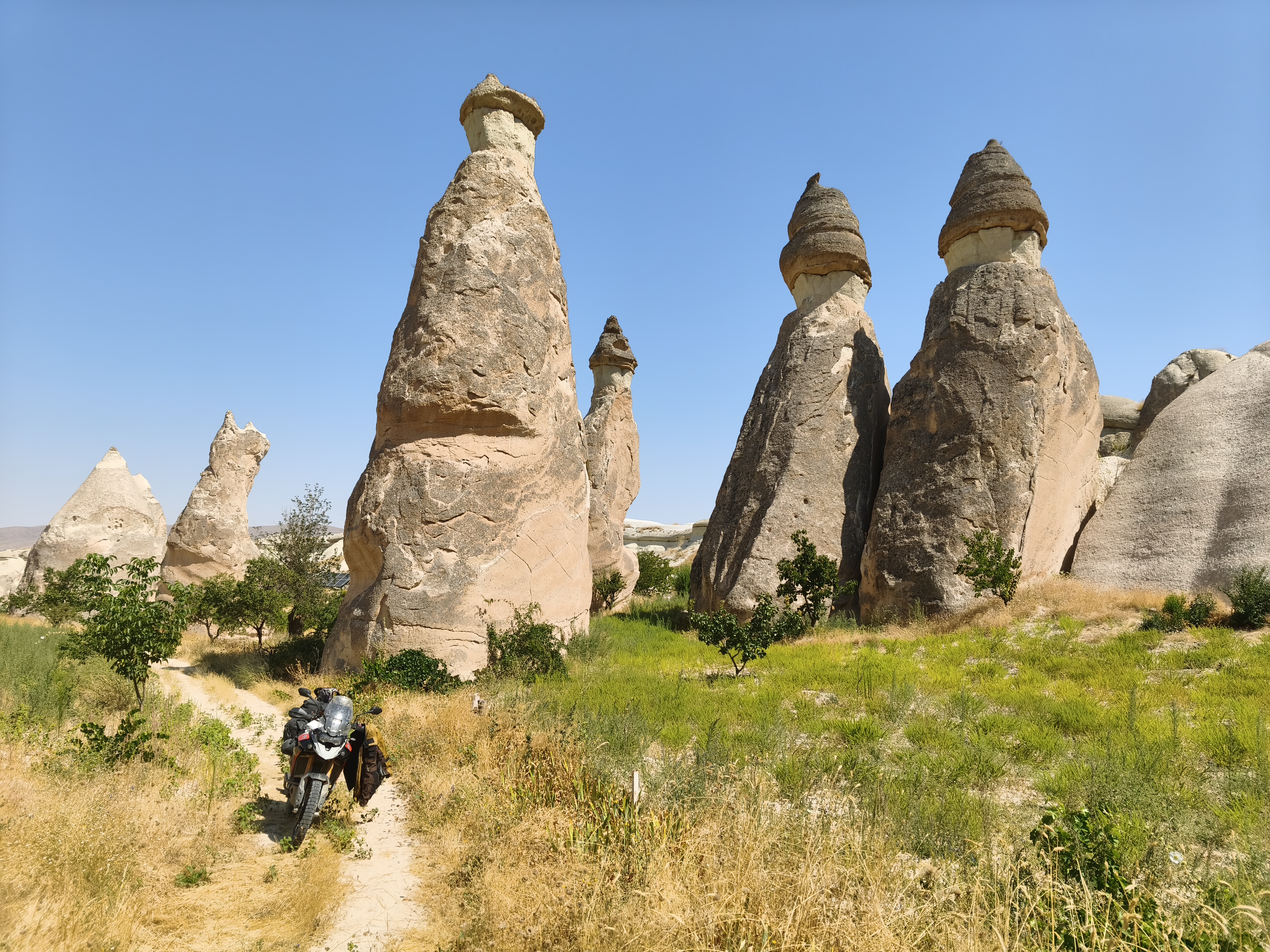
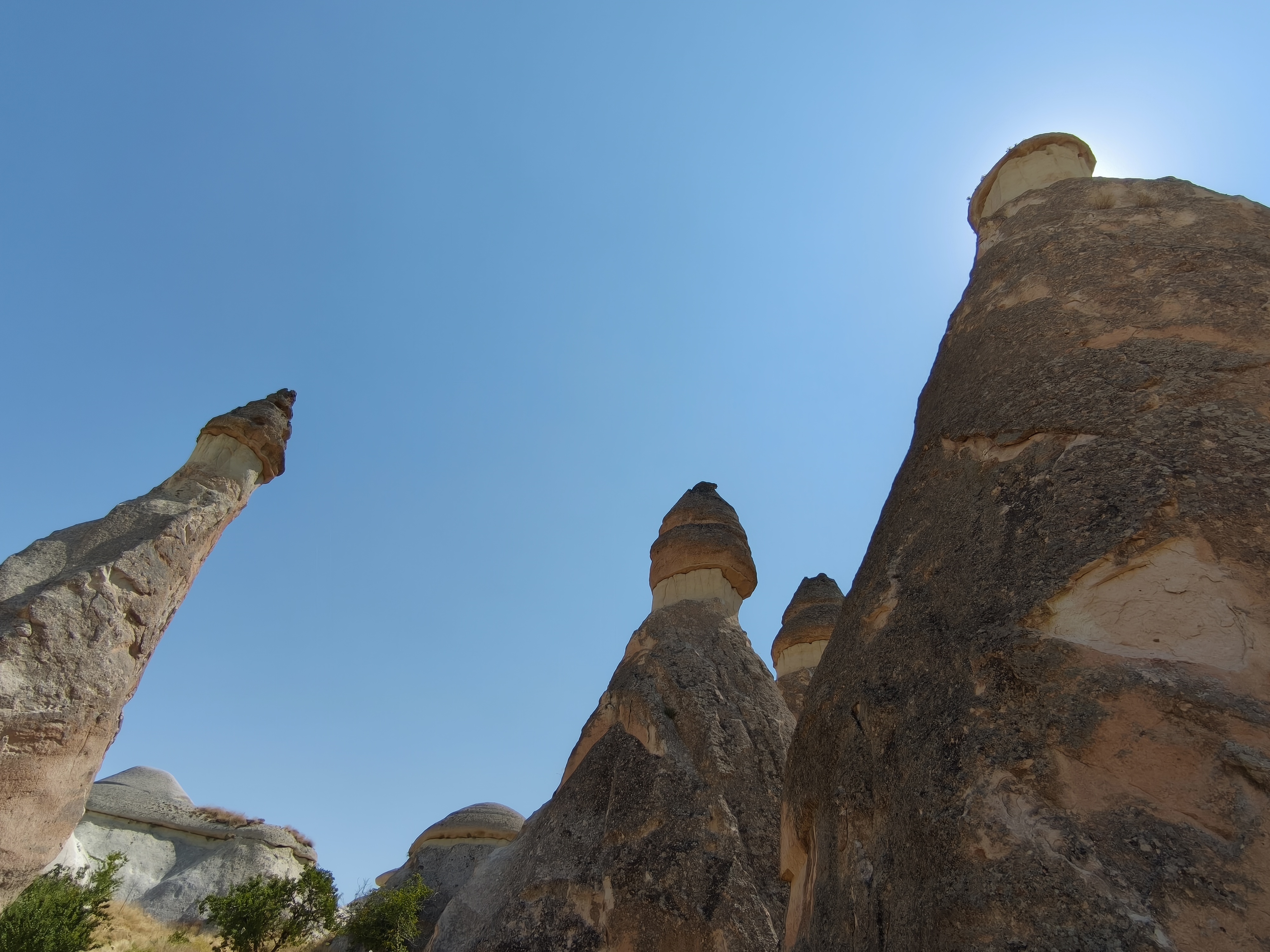
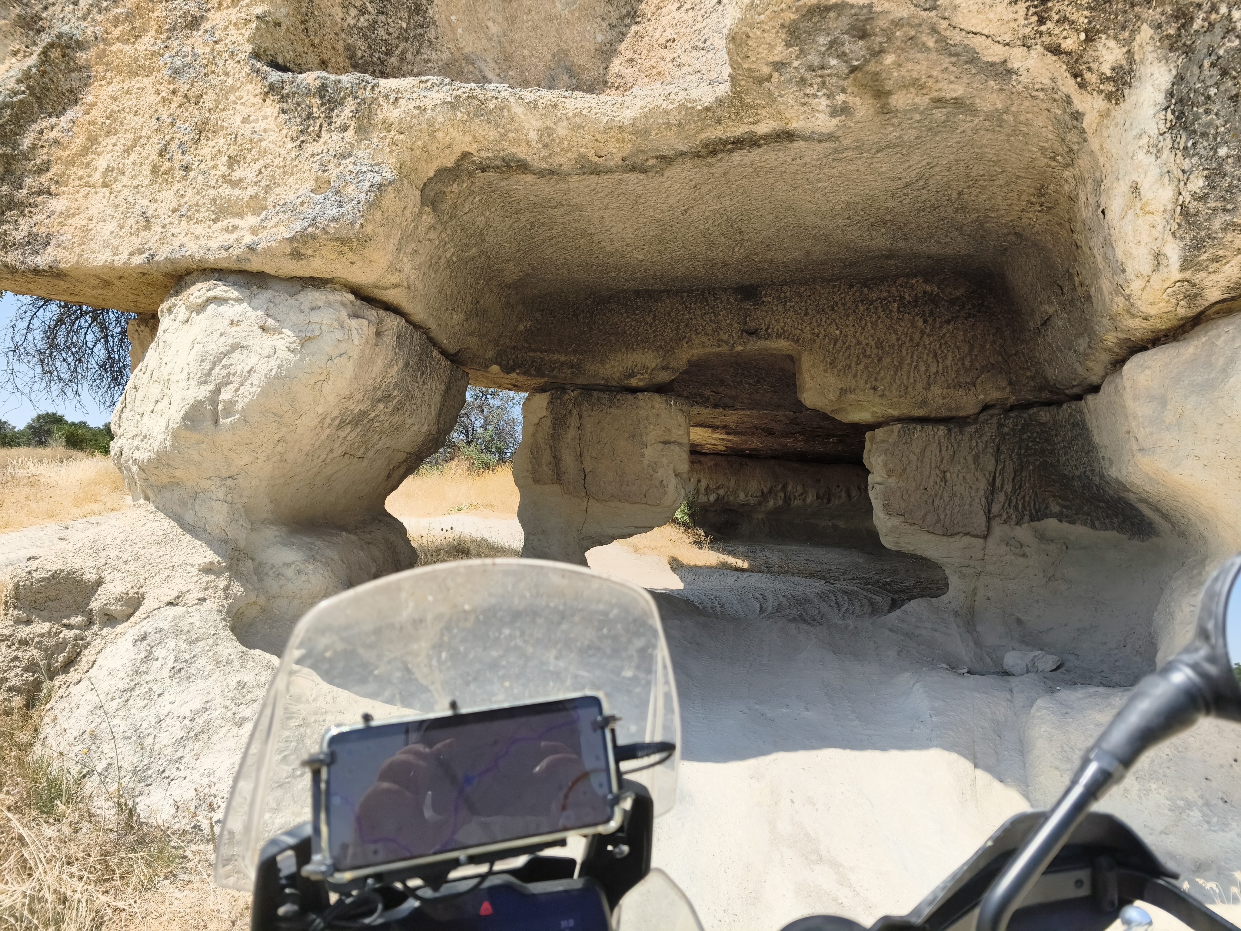
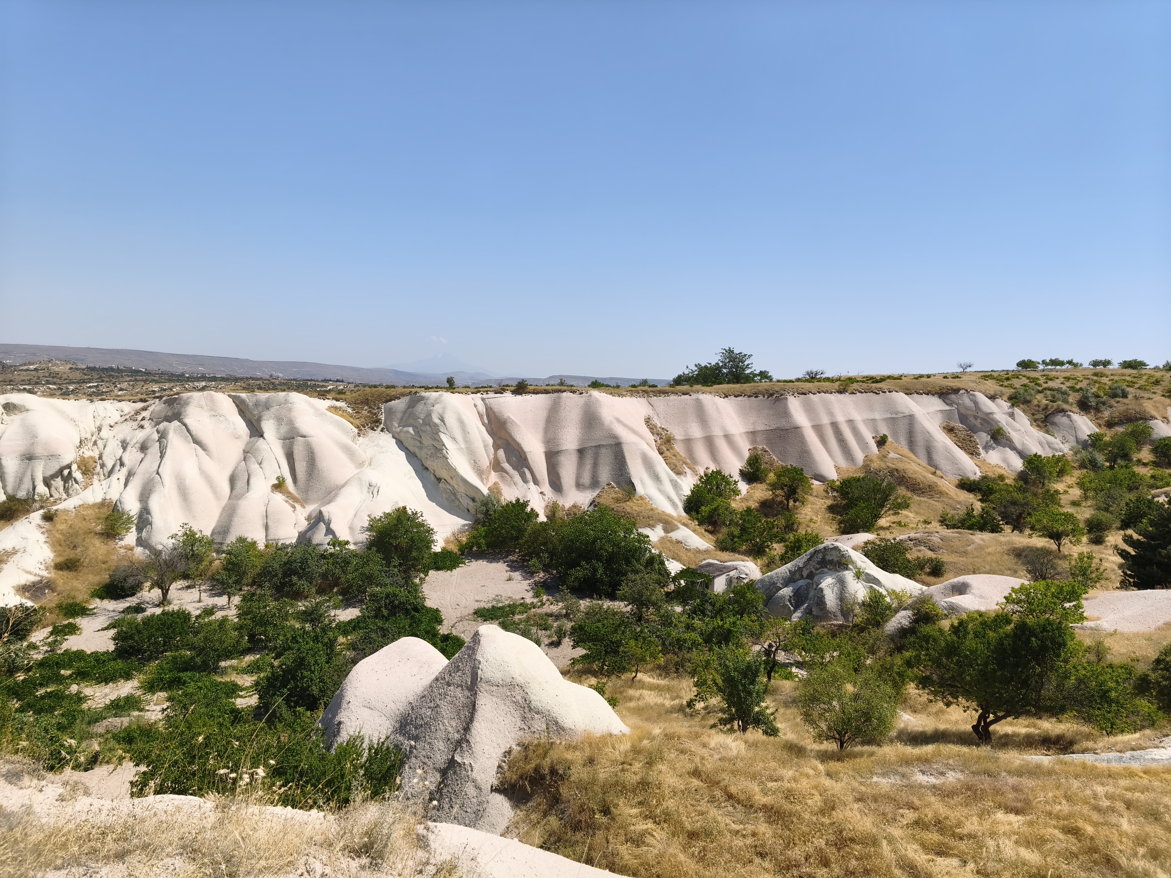
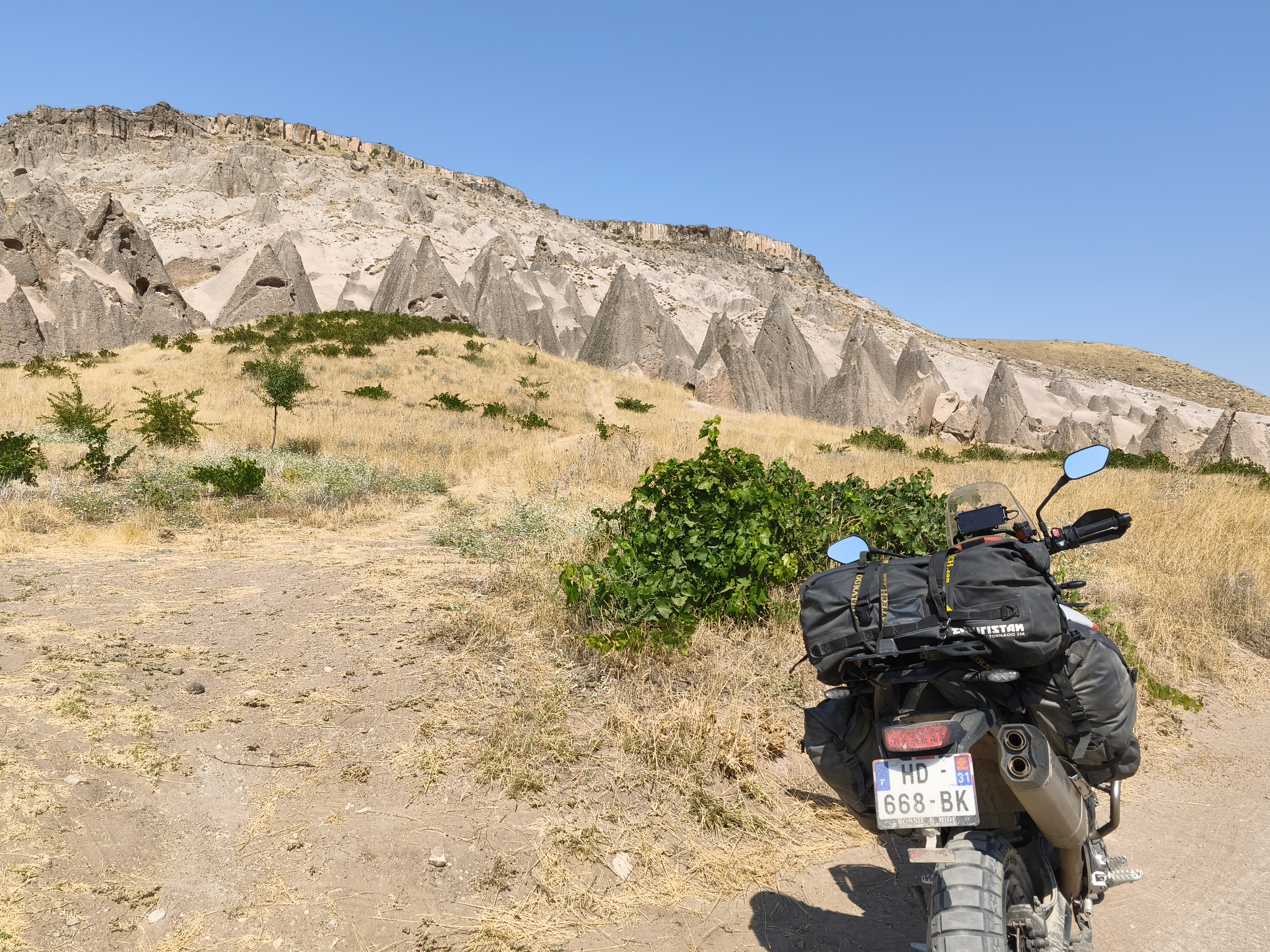
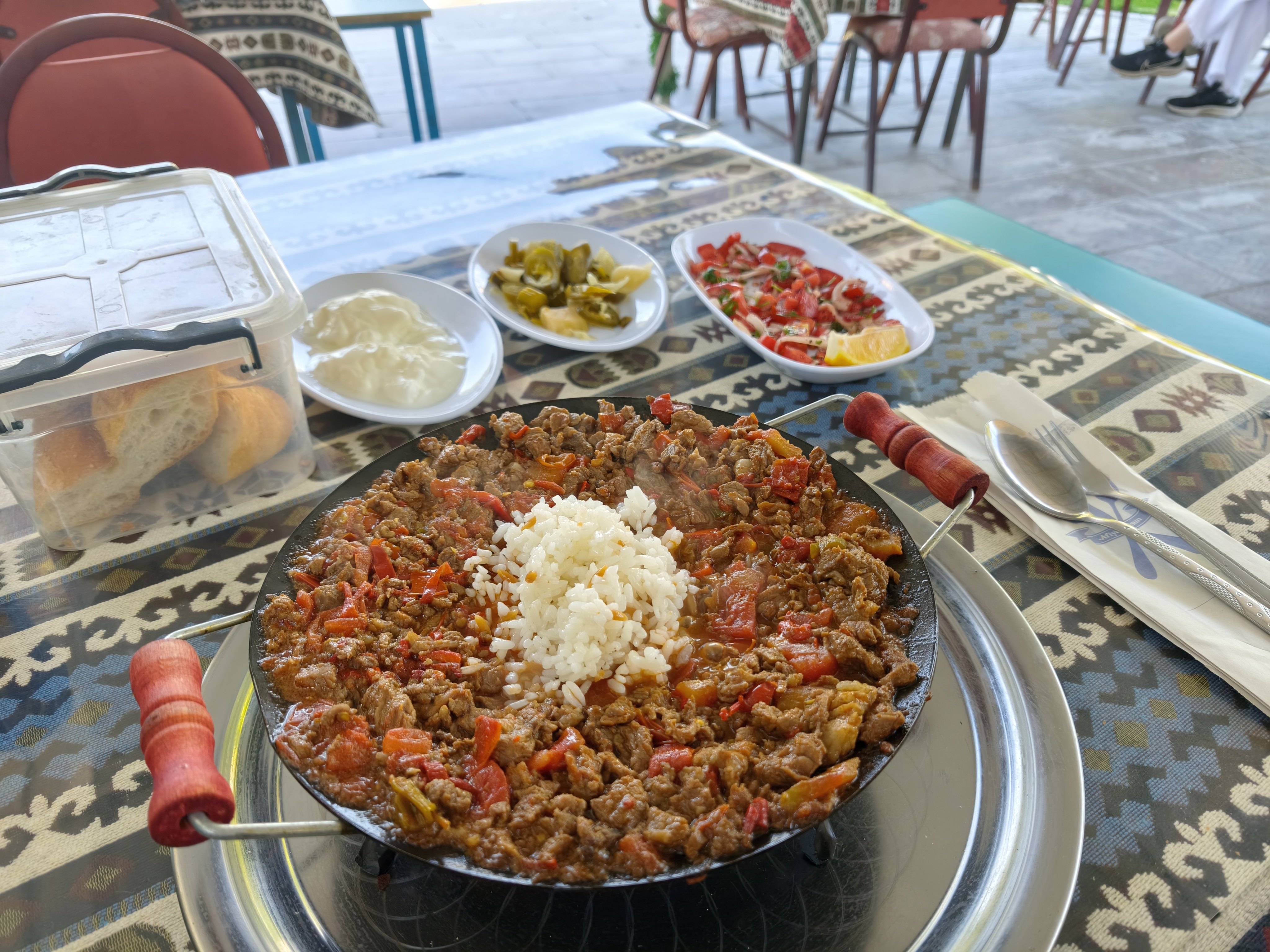
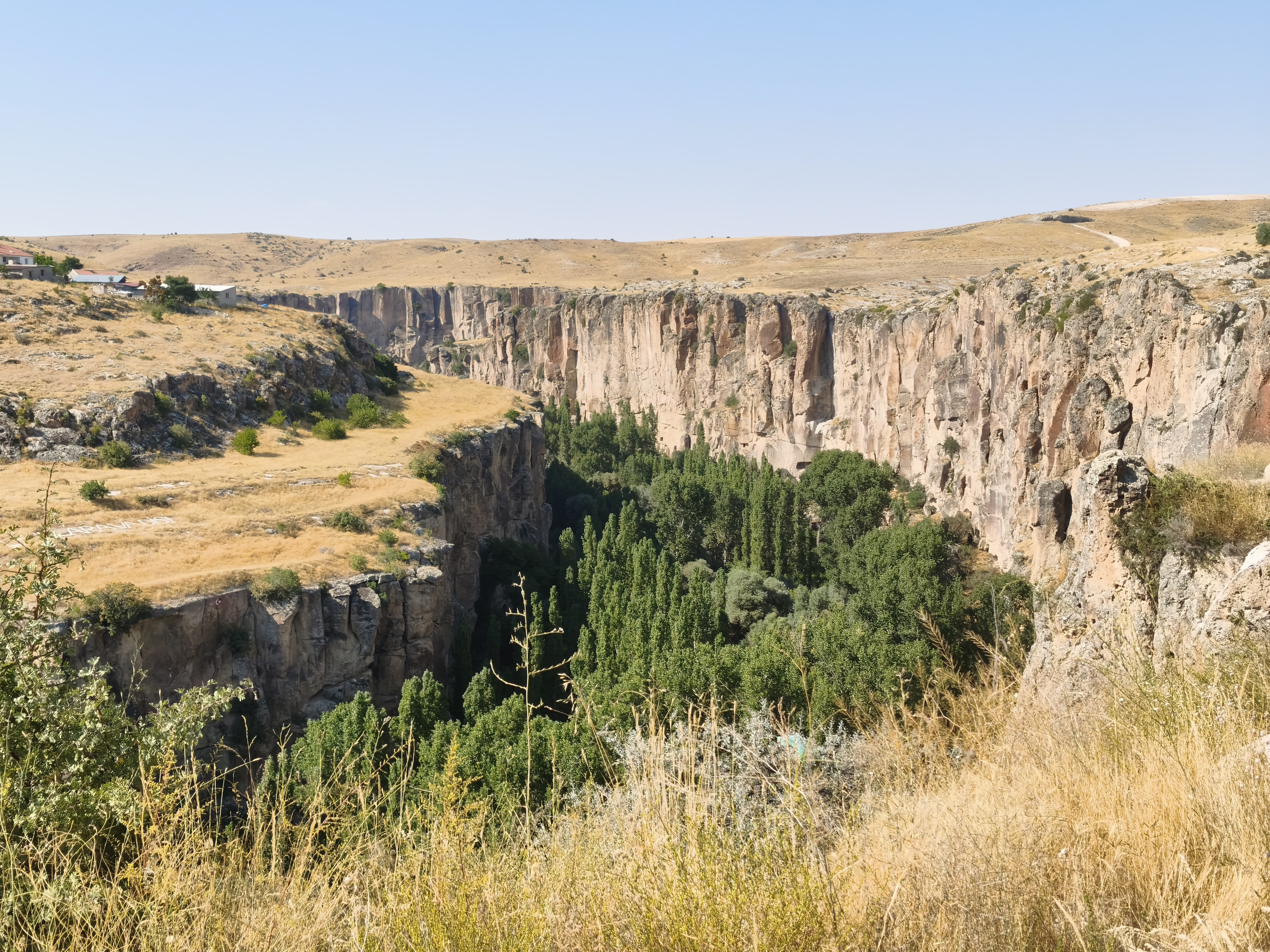
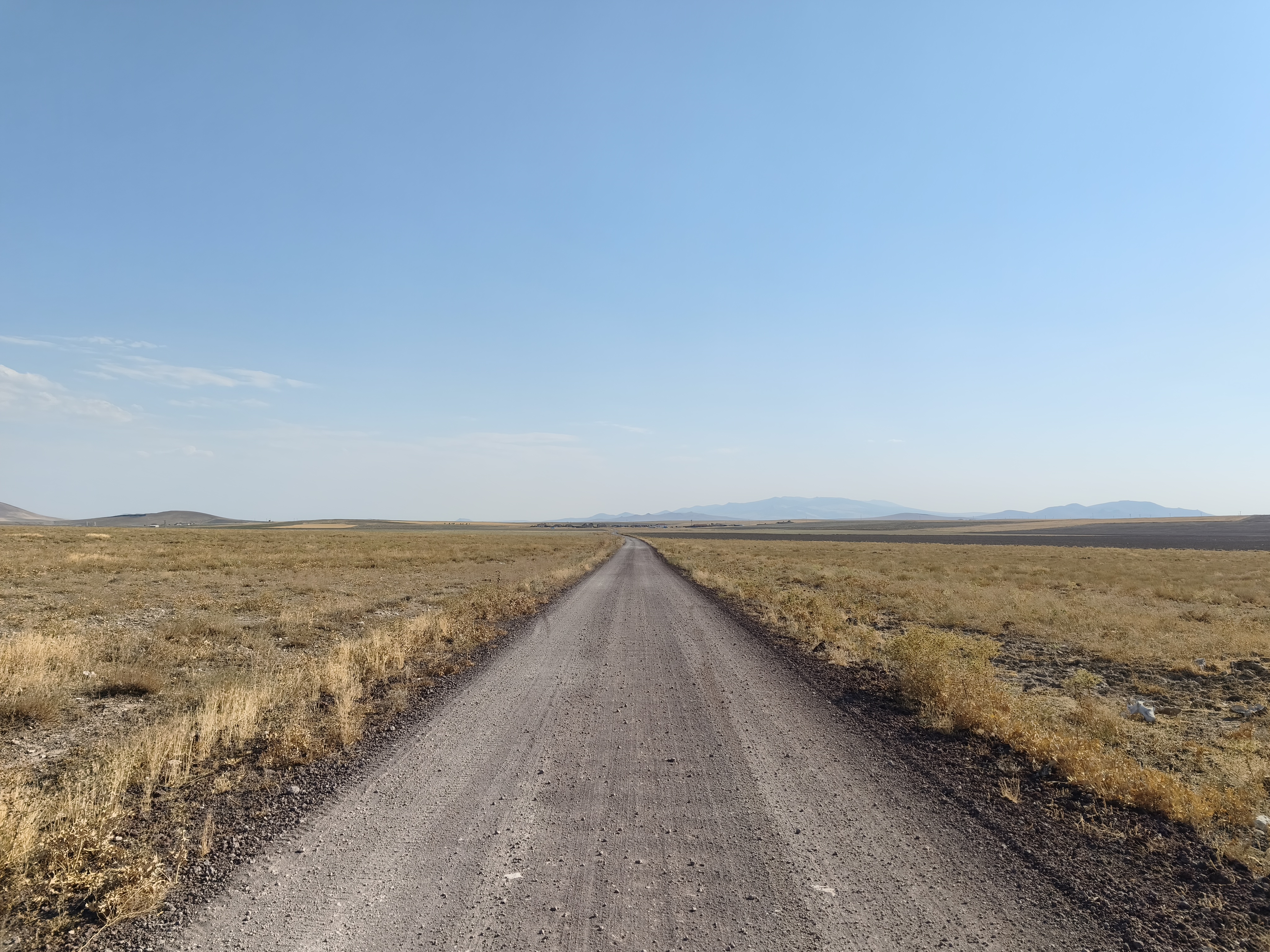
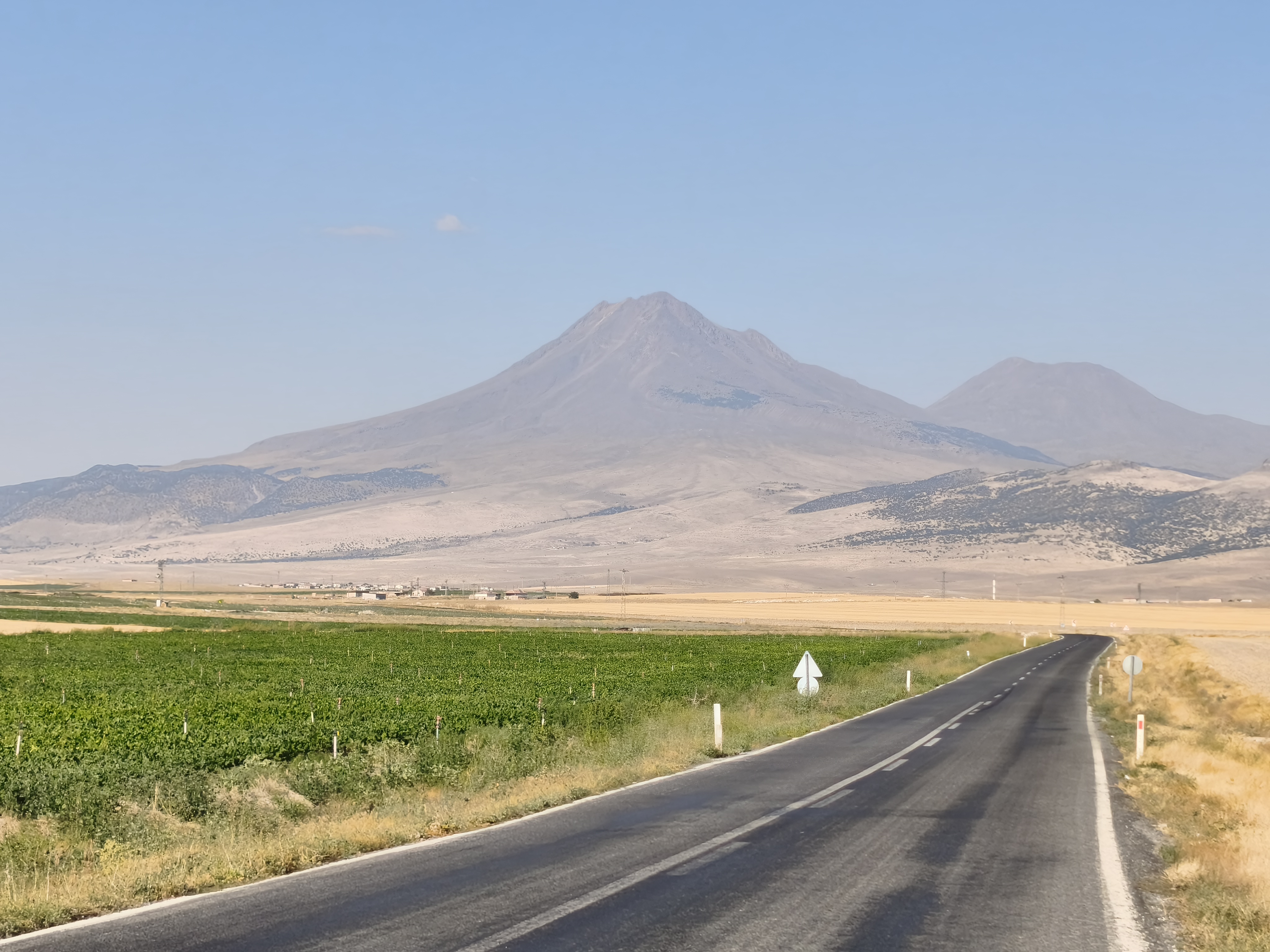
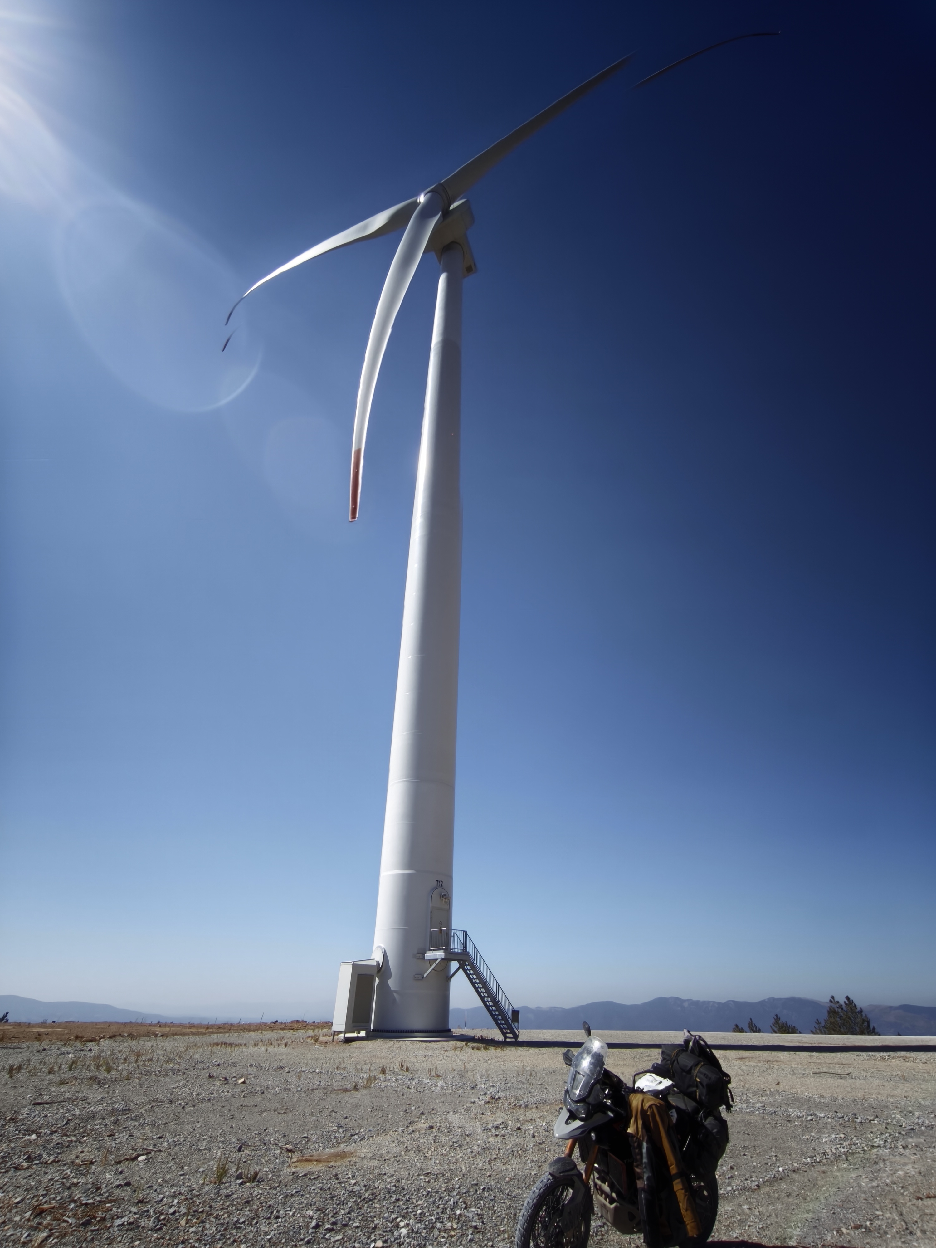
Morning among the fairy chimneys, afternoon in the craters. After a gargantuan breakfast, I tackle dozens of kilometers of sandy tracks through the secret valleys of Cappadocia. Riding through sand on a fully loaded motorcycle is demanding, but the final score remains perfect: zero drops! Exhausted, I head south toward a desert volcanic plain dominated by Mount Hasan volcano (3,200 m). Night in Karapınar, a small town flanked by crater lakes and giant solar power plants.
Matinée dans les cheminées de fées, après-midi dans les cratères. Après un petit-déjeuner gargantuesque, j’enchaîne des dizaines de kilomètres de pistes sableuses à travers les vallées secrètes de Cappadoce. Le pilotage dans le sable avec une moto chargée est exigeant, mais le bilan reste parfait : zéro chute ! Épuisé, je mets le cap au sud vers une plaine volcanique désertique dominée par le volcan Hasan (3 200 m). Nuit à Karapınar, petite ville bordée de lacs cratères et de centrales solaires géantes.
Day #22: Karapınar – Ermenek. Distance: 330 km (265 km Road / 65 km Off-road)
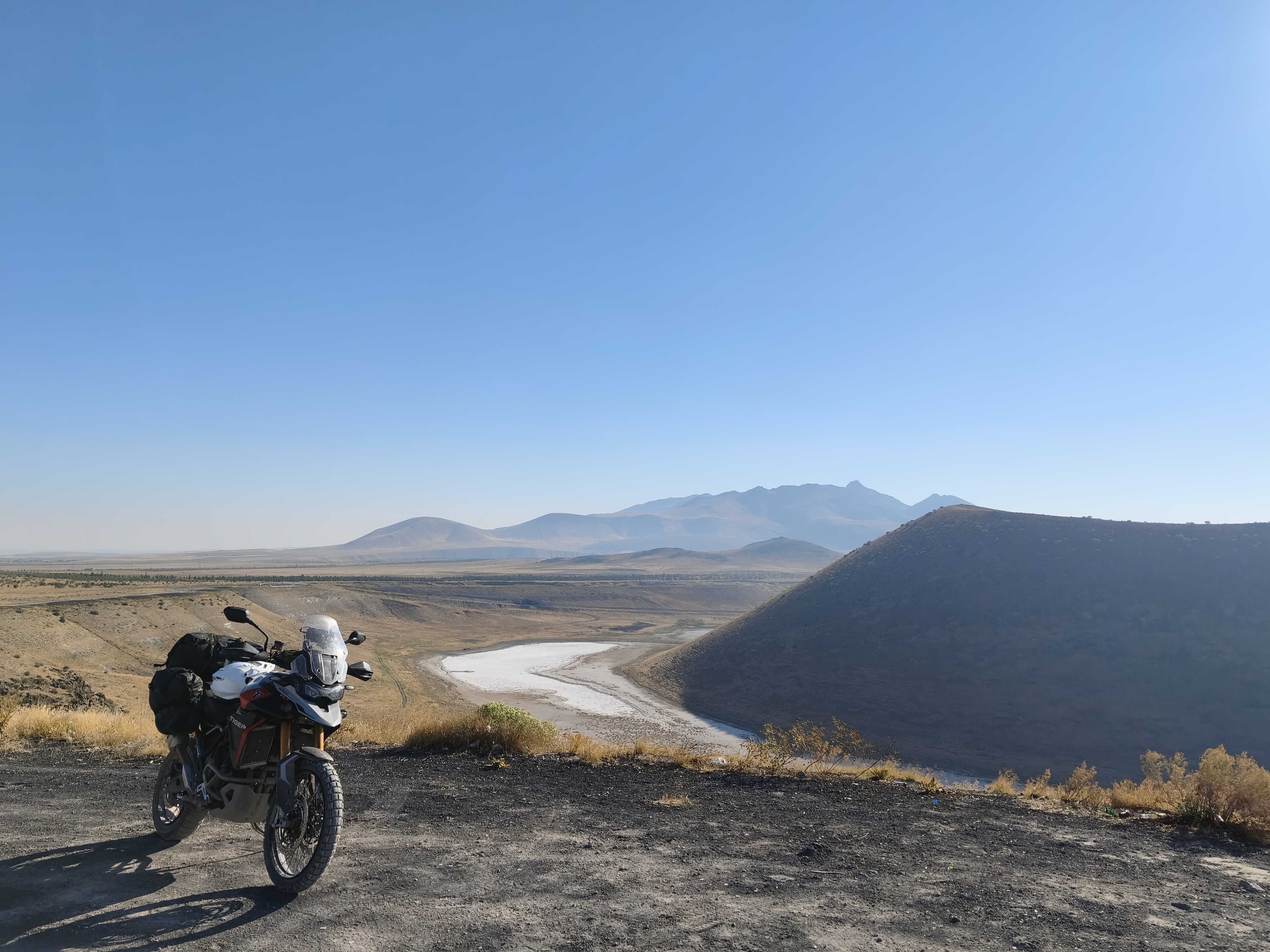
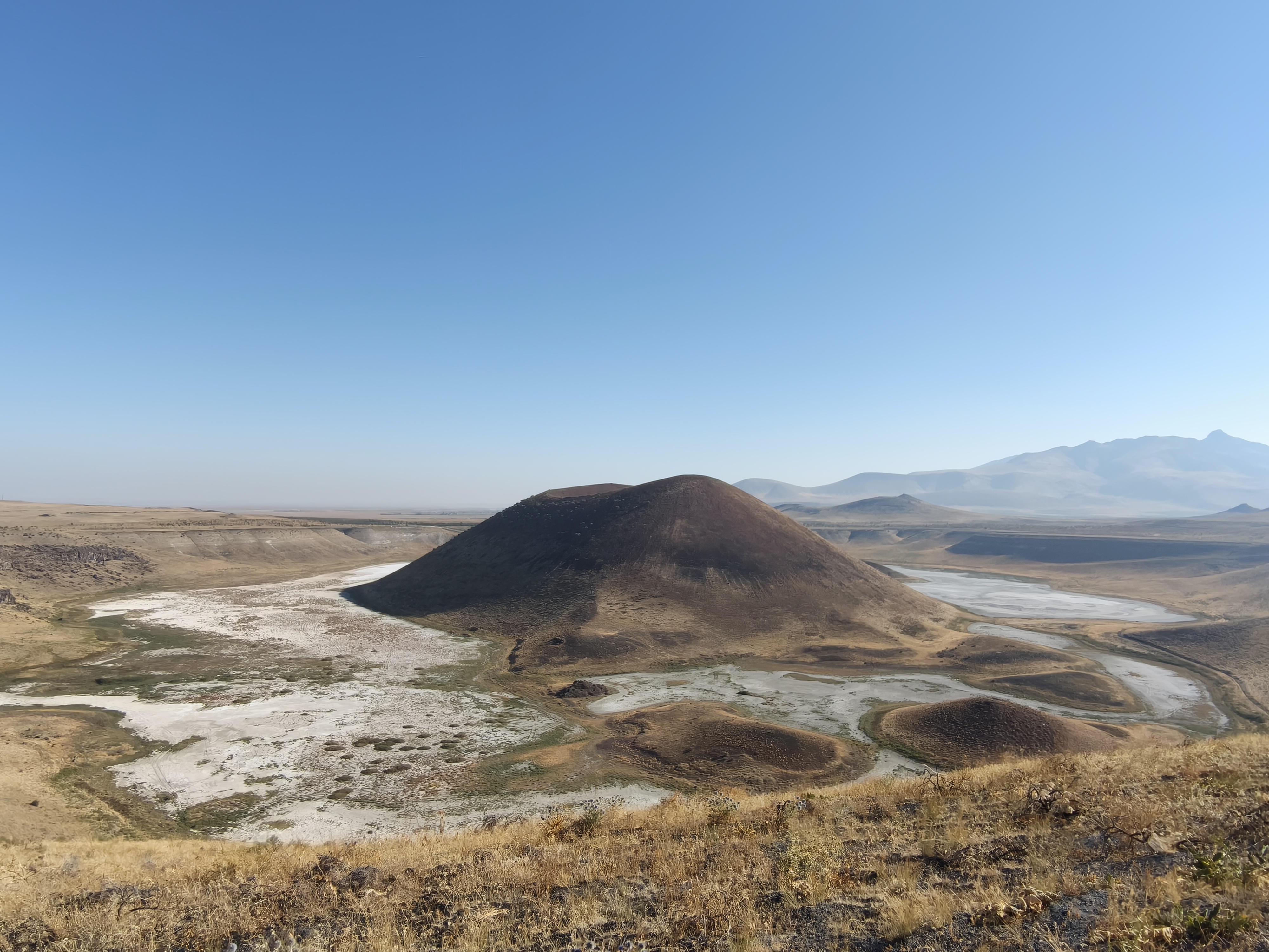
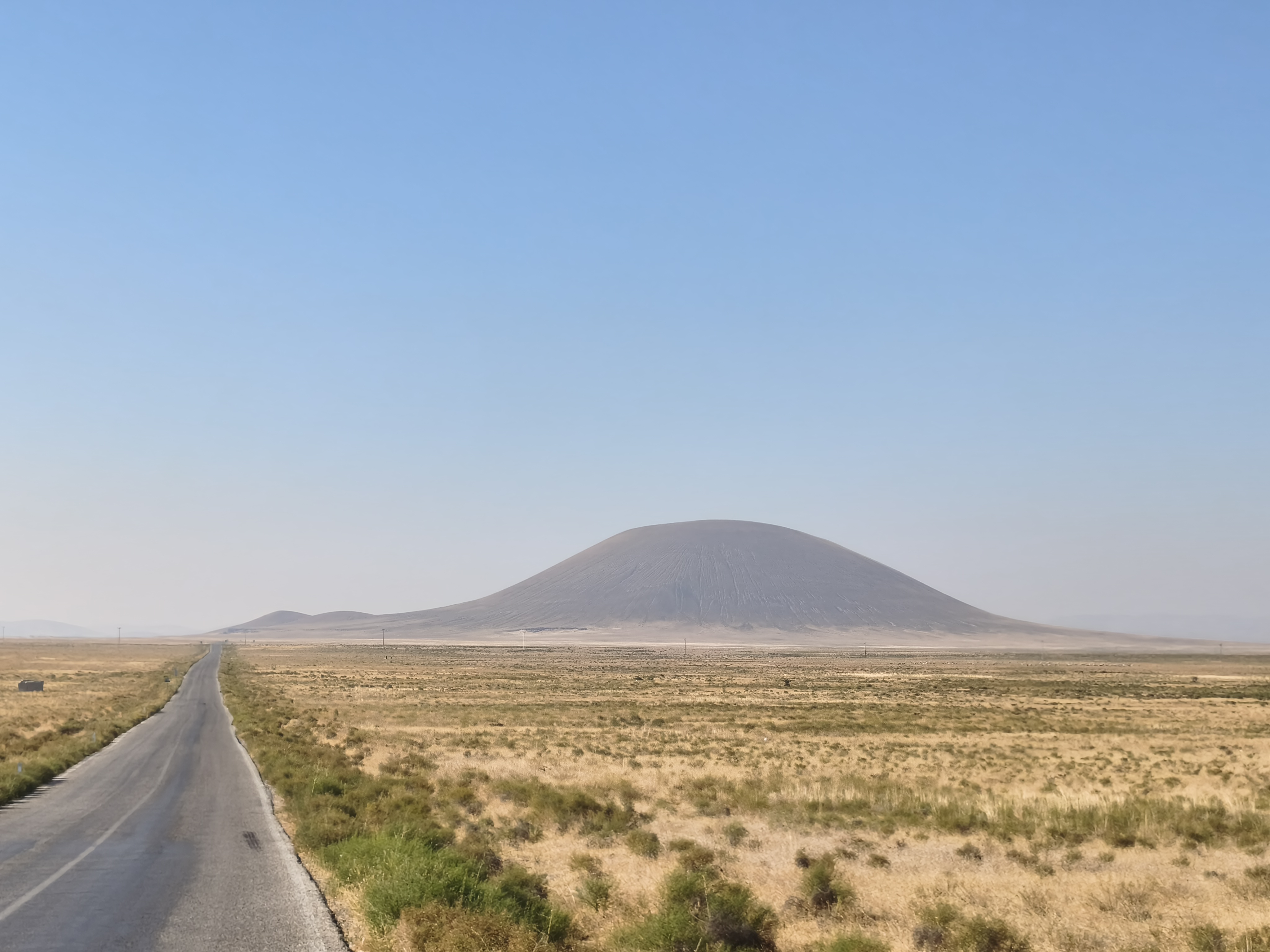
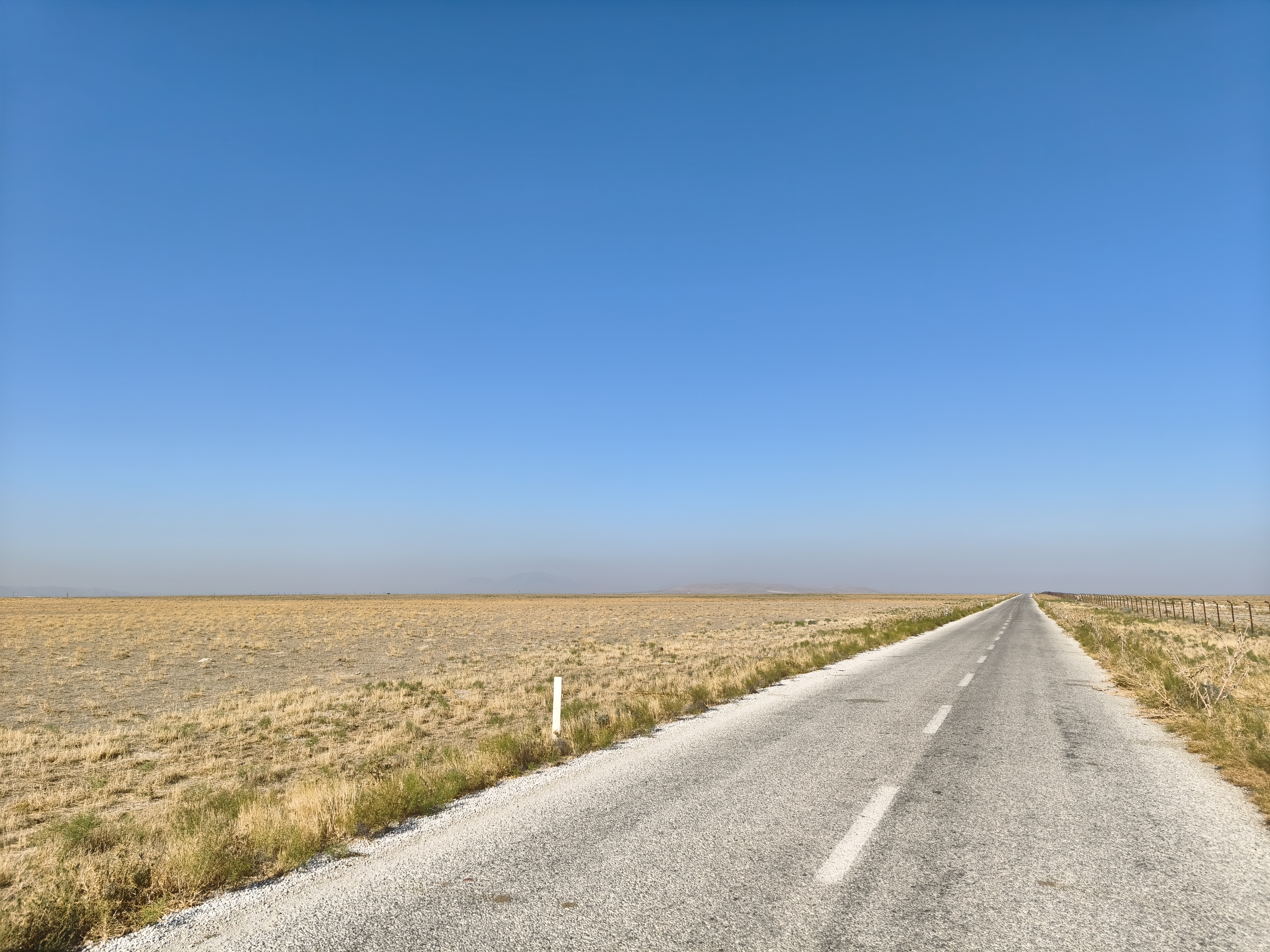
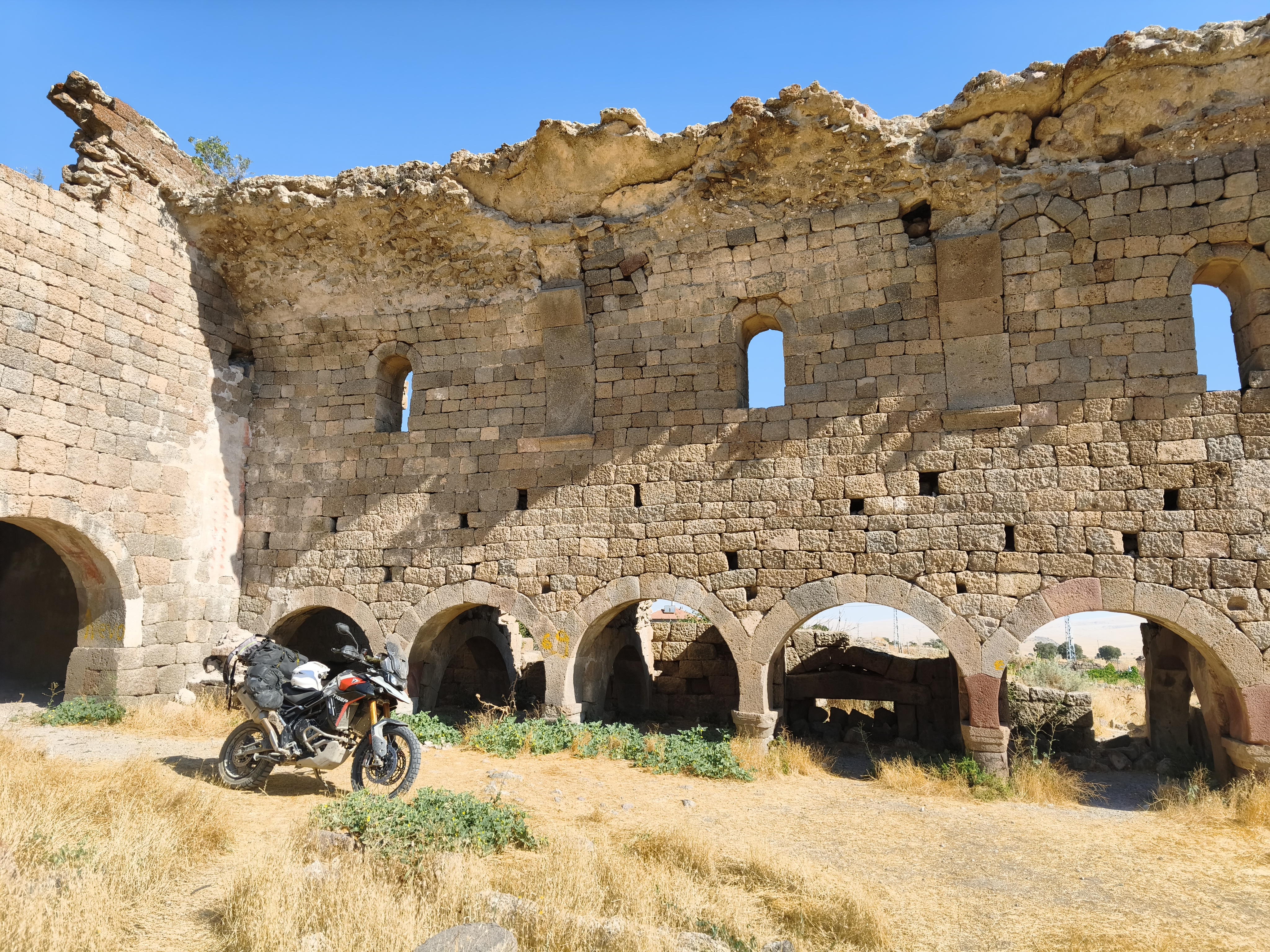
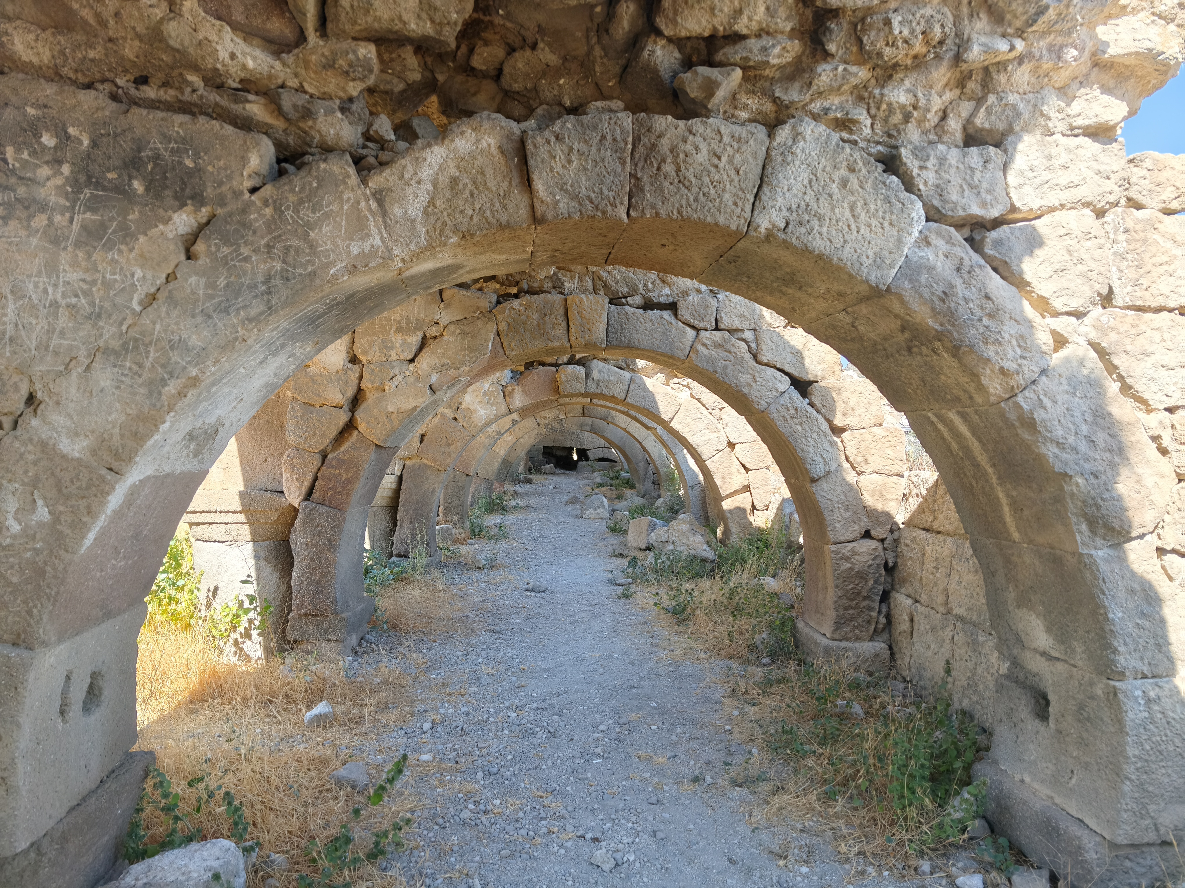
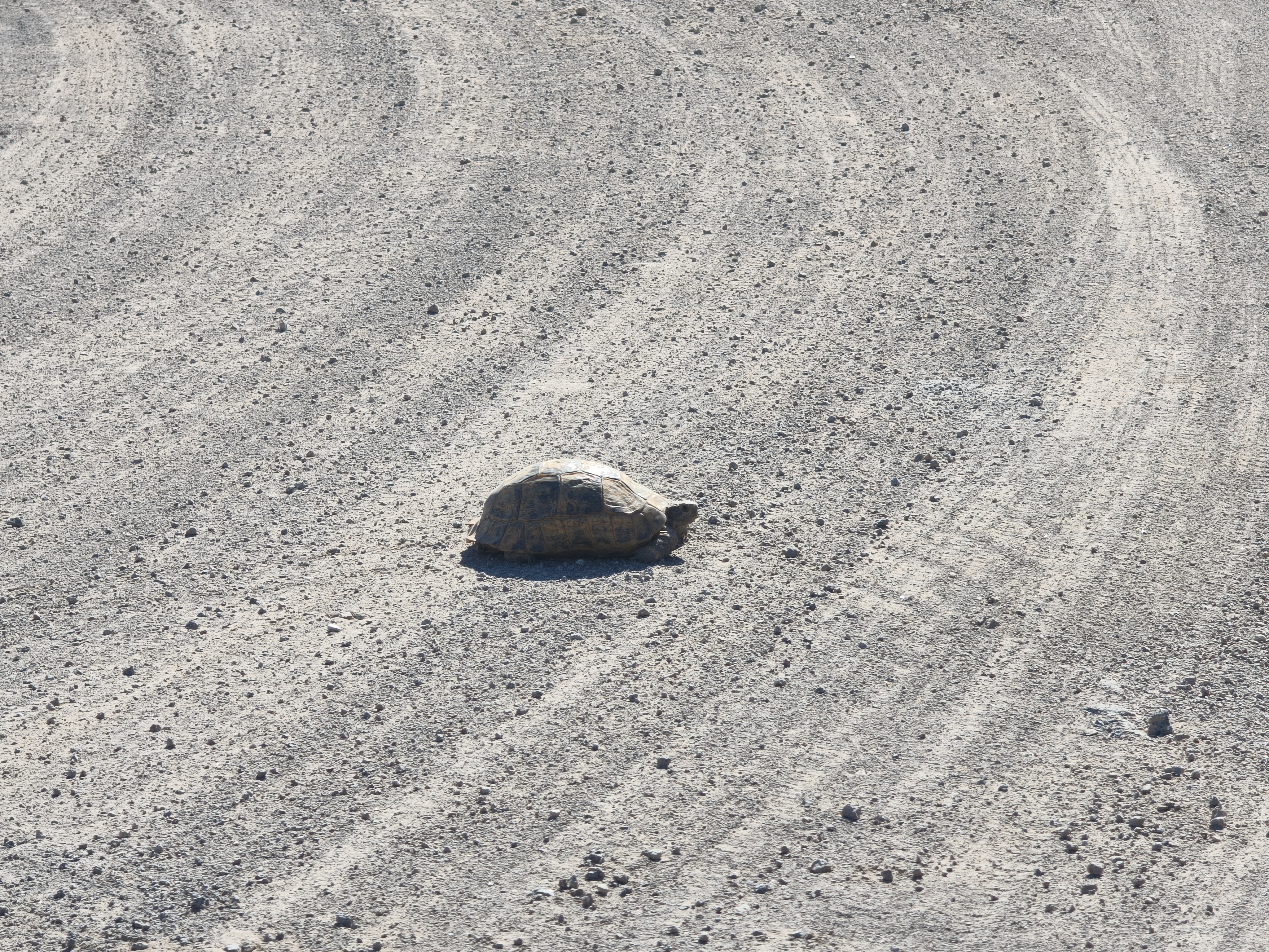
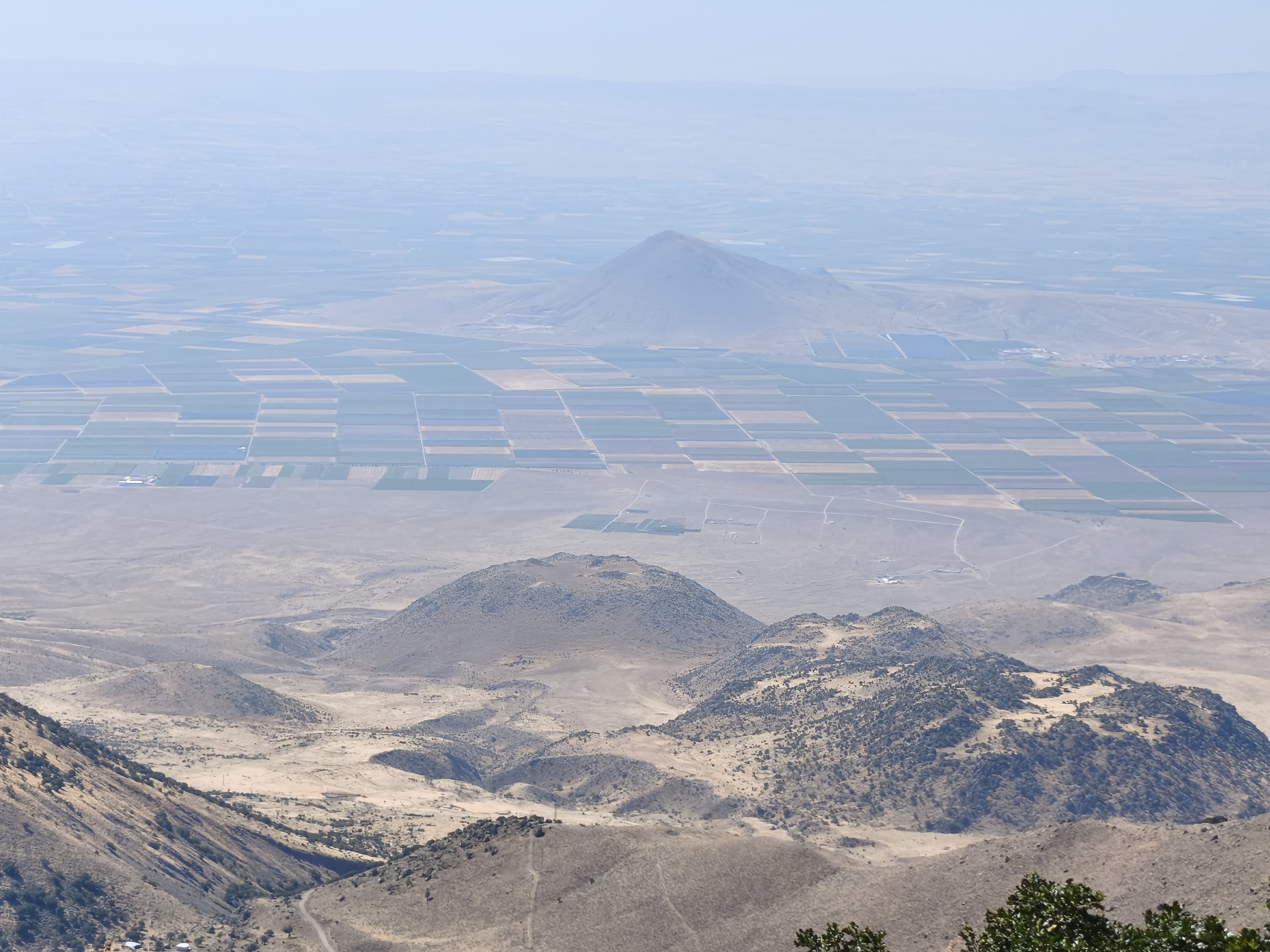
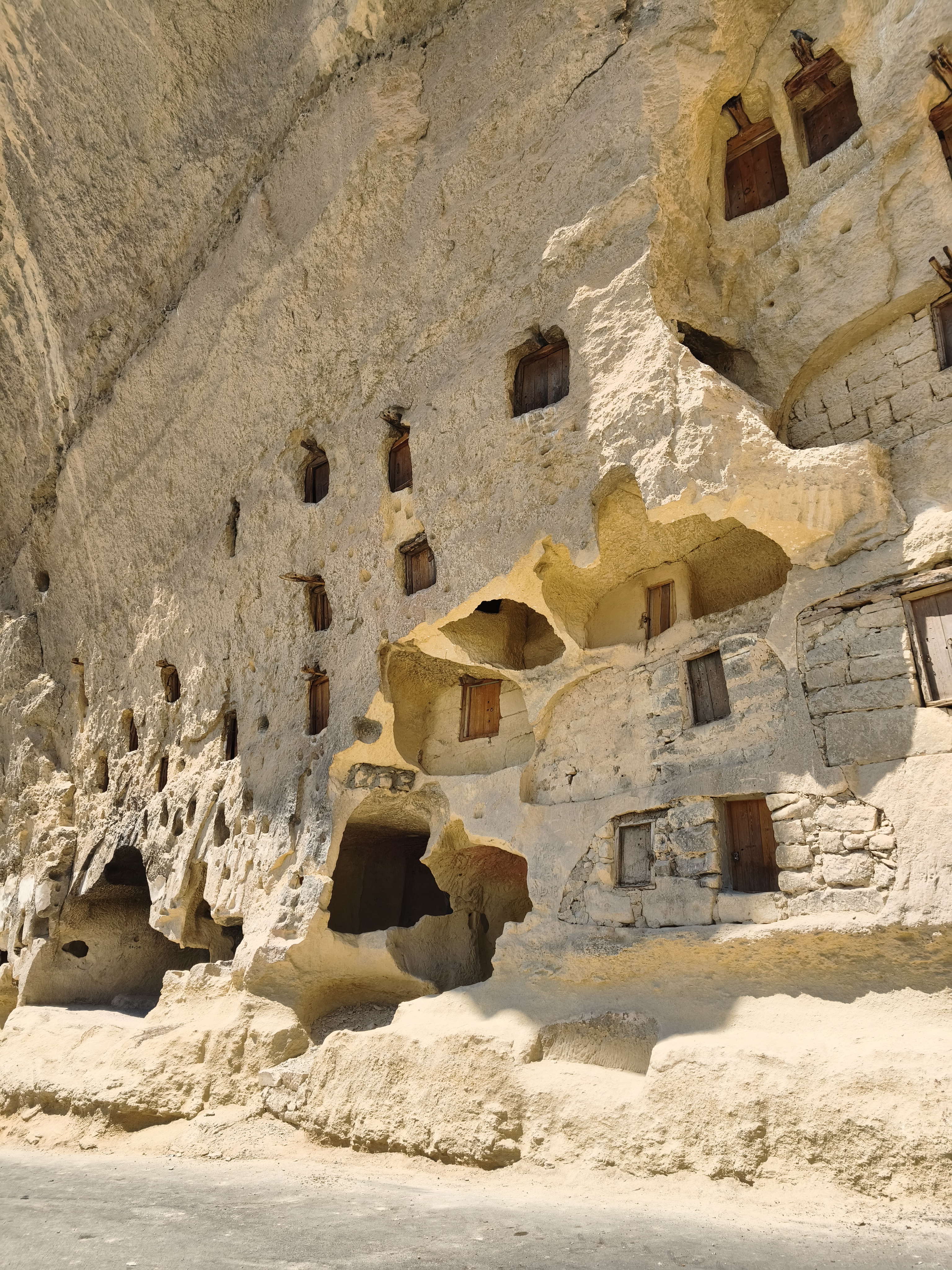
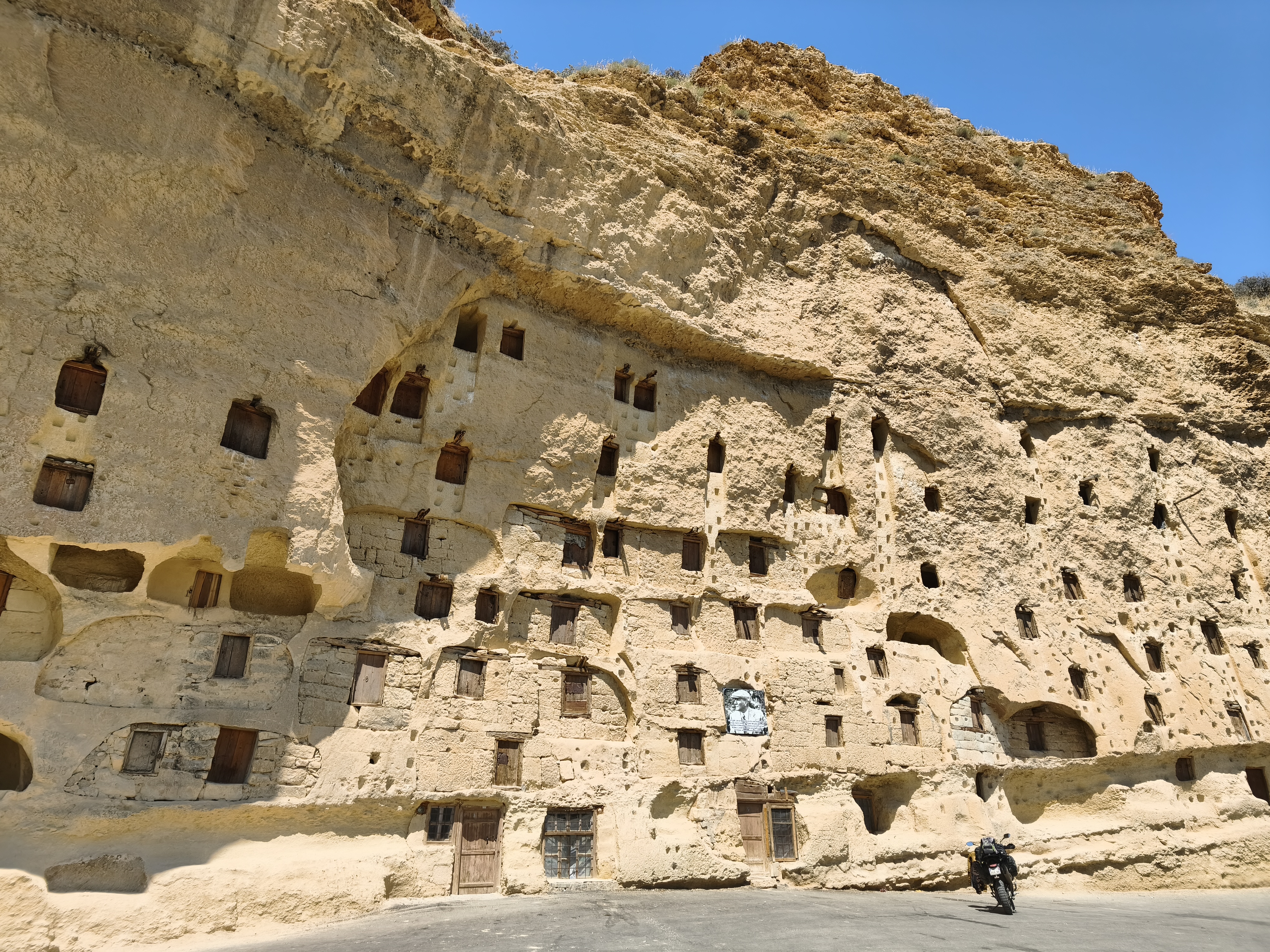
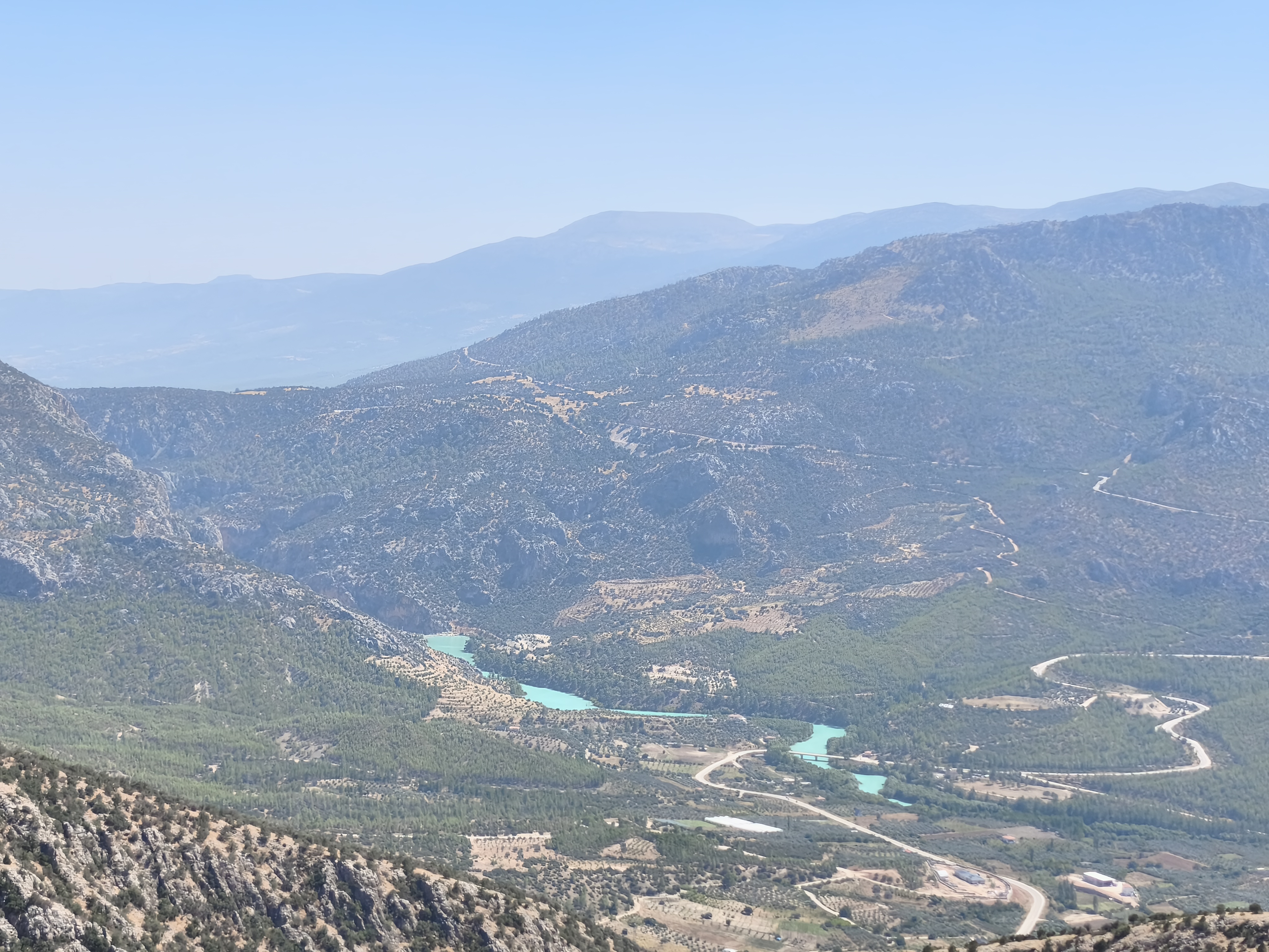
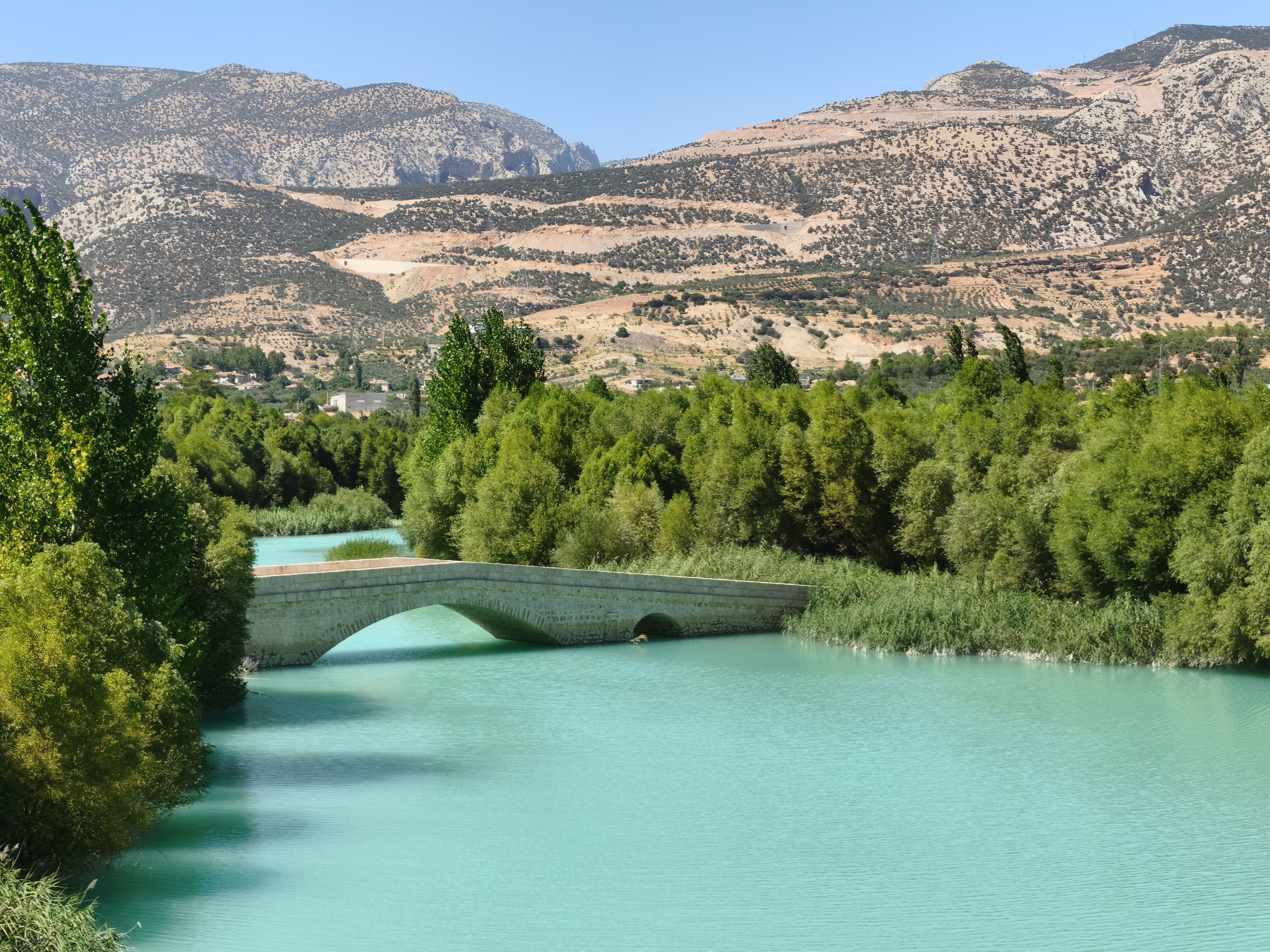
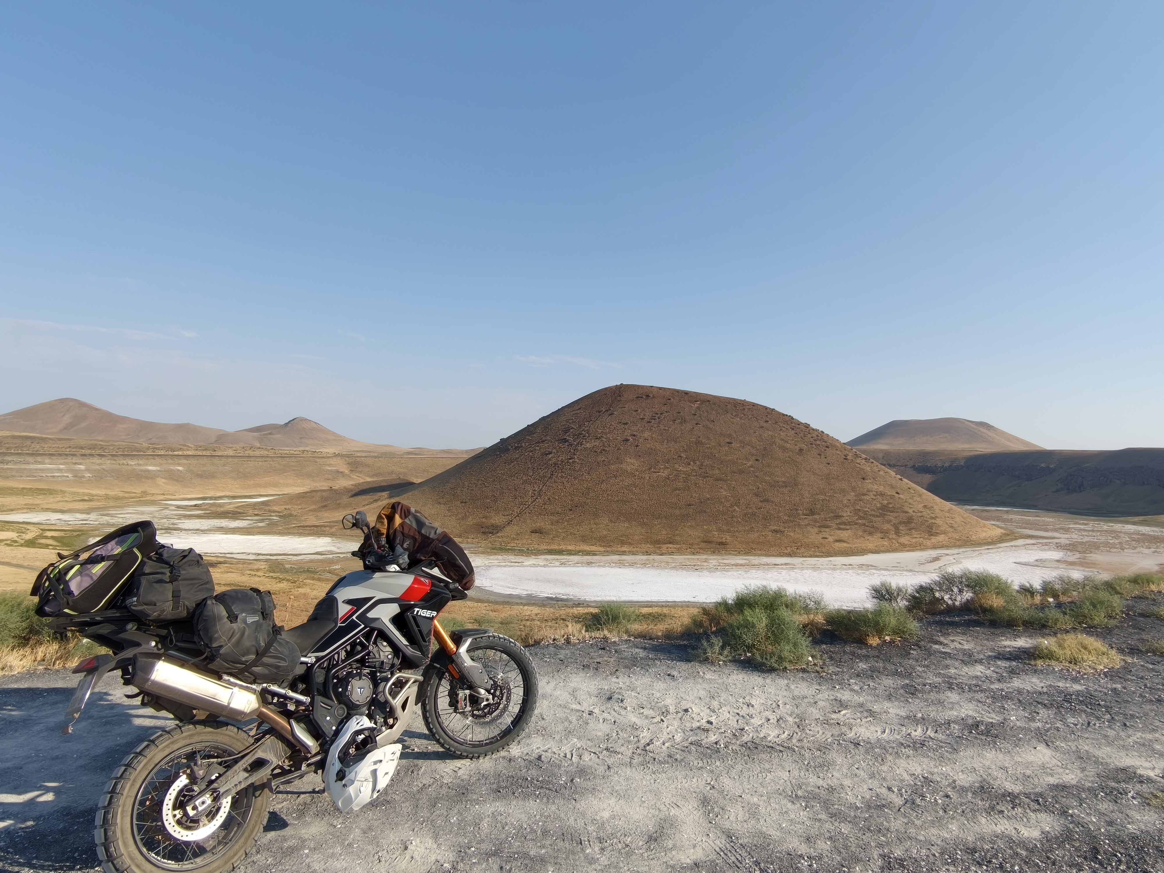
At daybreak, a stop at Meke Tuzla crater lake with its volcanic cone at the center. A magical place, but sadly the victim of a severe drought that has forced rural families into exile. While the location is stunningly beautiful, with salt flats encircling the volcano, it exudes a poignant sense of hardship for the local inhabitants. We push on across arid expanses dominated by the Karadağ volcano. I tackle the stony track climbing to its summit over 2,200 m up. Along the way: ruins of Roman and Byzantine churches. At the summit: a 360-degree panorama over Central Anatolia. Further south, arrival in the village of Taşkale, famous for its troglodyte grain silos carved into a sheer cliff face. We finish with 100 km of twisties through arid mountains overlooking the Göksu River, displaying a surprisingly vivid blue. Night in Ermenek, nestled at the foot of towering cliffs, staying in a centuries-old konak.
Au point du jour, halte au lac cratère de Meke Tuzla avec son cône volcanique au centre. Un lieu magique, mais malheureusement victime d’une terrible sécheresse, conduisant à l’exil de familles rurales. Si le lieu est de toute beauté, avec des étendues de sel cerclant le volcan, il distille une certaine détresse pour les populations alentours. Nous poursuivons à travers des étendues arides dominées par le volcan Karadaq. Je m’attaque à la piste caillouteuse qui grimpe à son sommet à plus de 2 200 m. En chemin : des ruines d’églises romaines et byzantines. Au sommet : un panorama à 360° sur l’Anatolie centrale. Plus au sud, arrivée au village de Taskale, célèbre pour ses silos à grains troglodytes creusés dans une falaise verticale. Nous finissons par 100 km de virages à travers des montagnes arides qui surplombent la rivière Göksu, d’un bleu surprenant. Nuit à Ermenek, sise au pied d’impressionnantes falaises, pour une nuit dans un konak séculaire.
Day #23: Ermenek – Side. Distance: 325 km (195 km Road / 130 km Off-road)
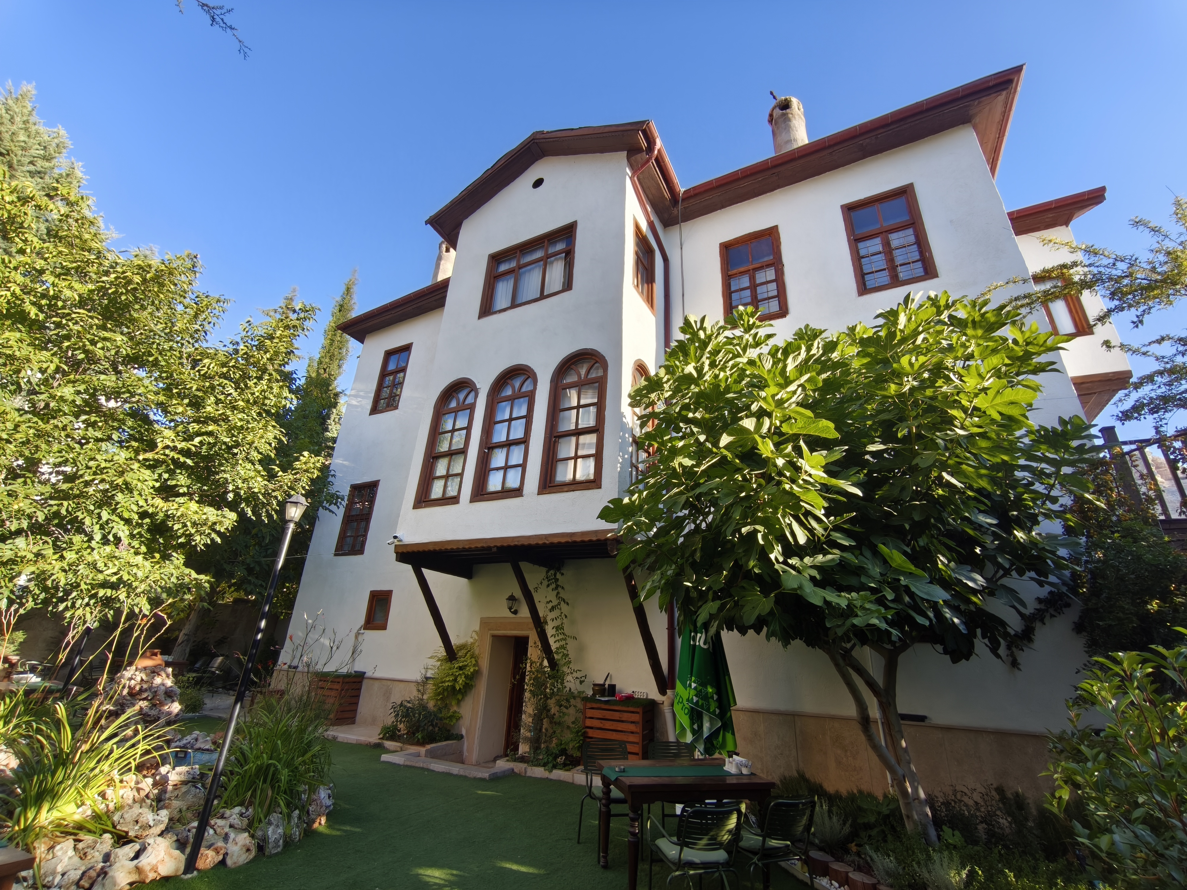
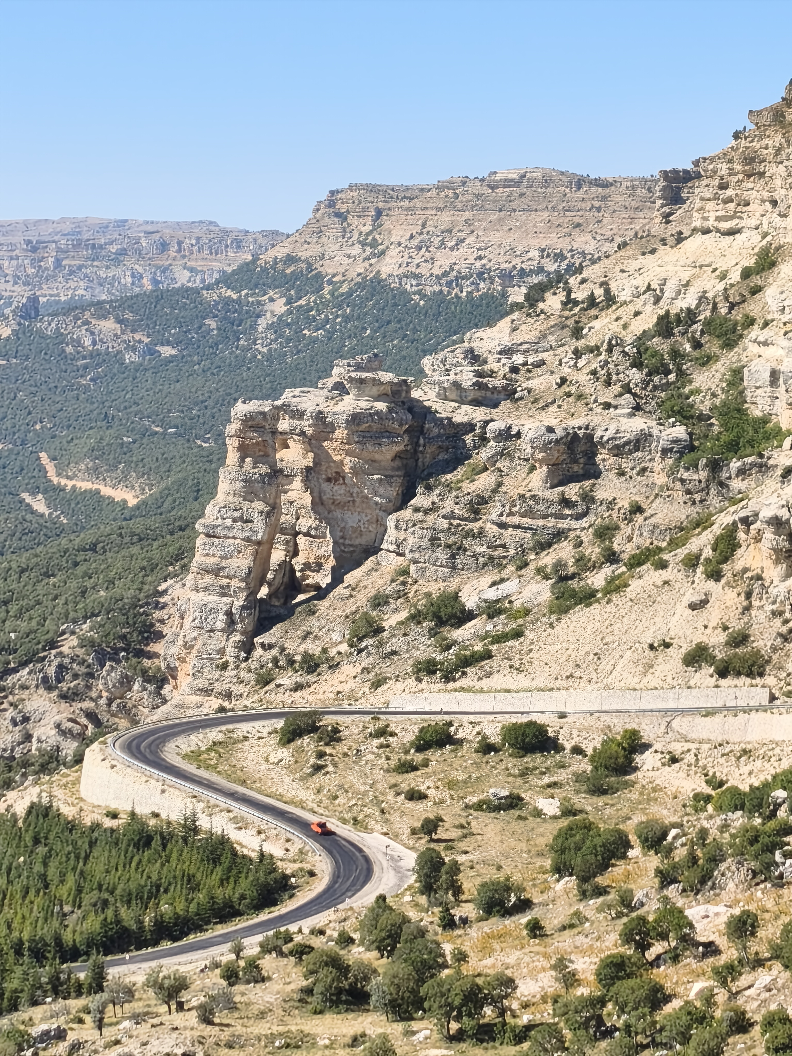
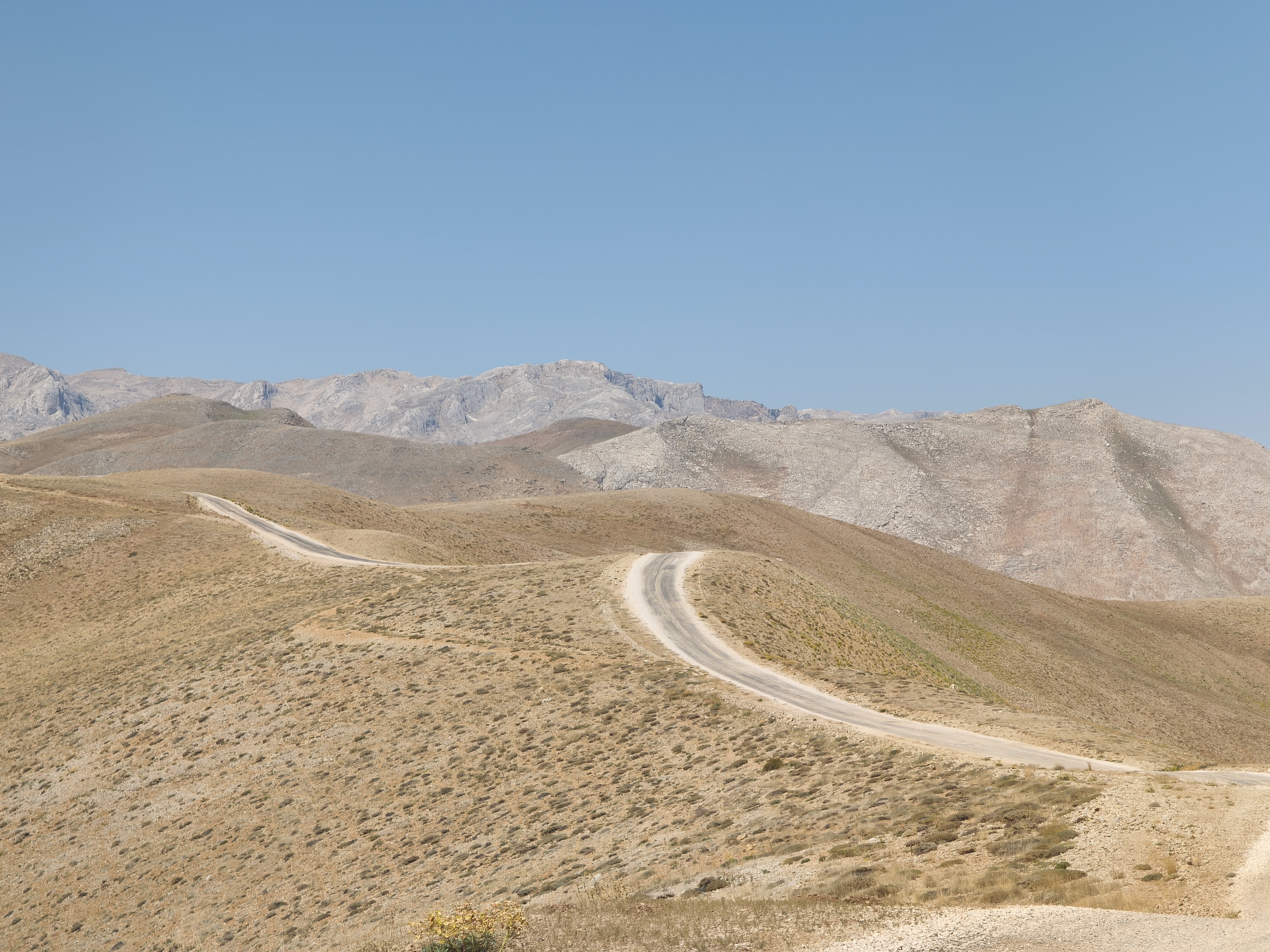
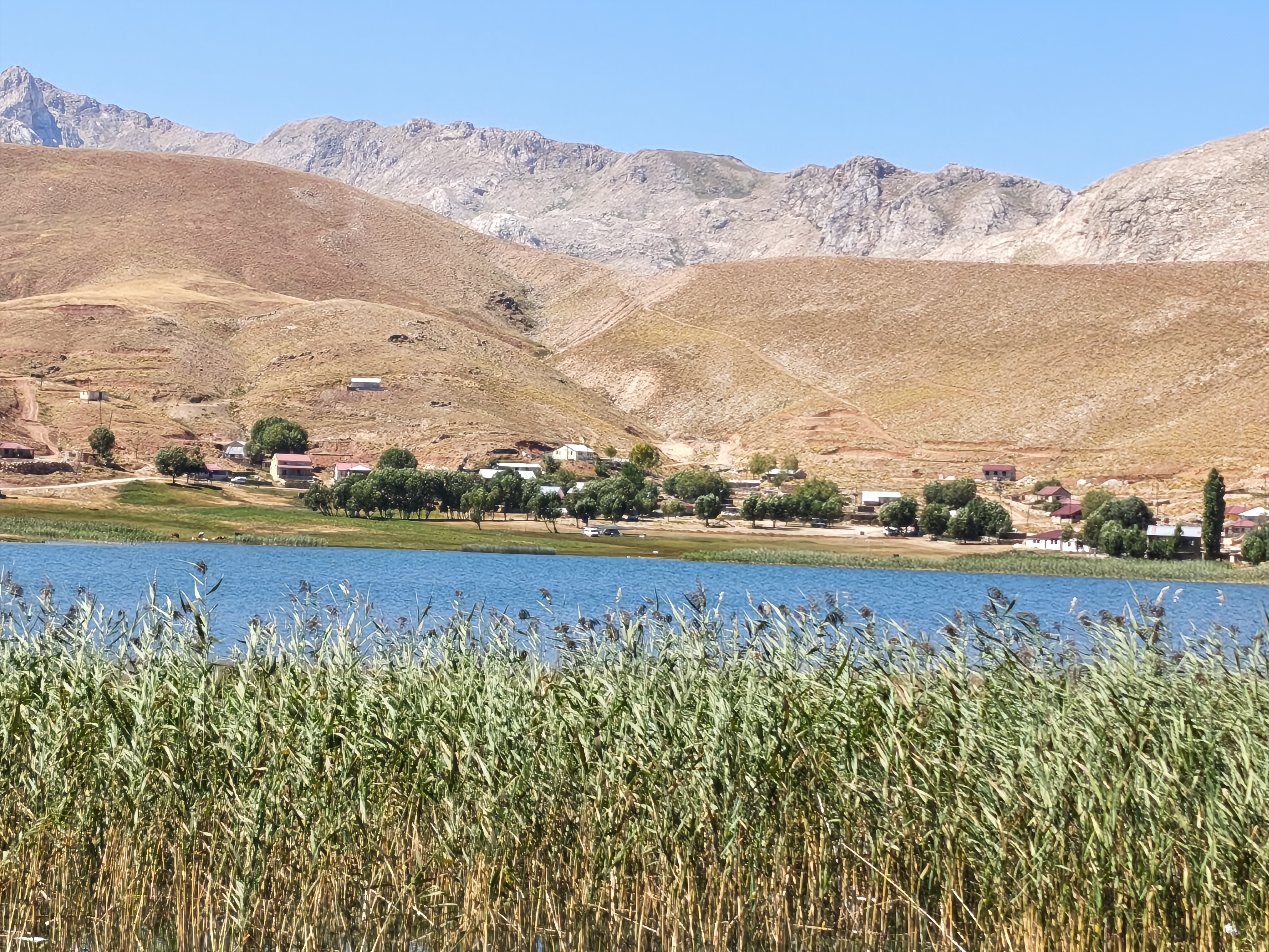
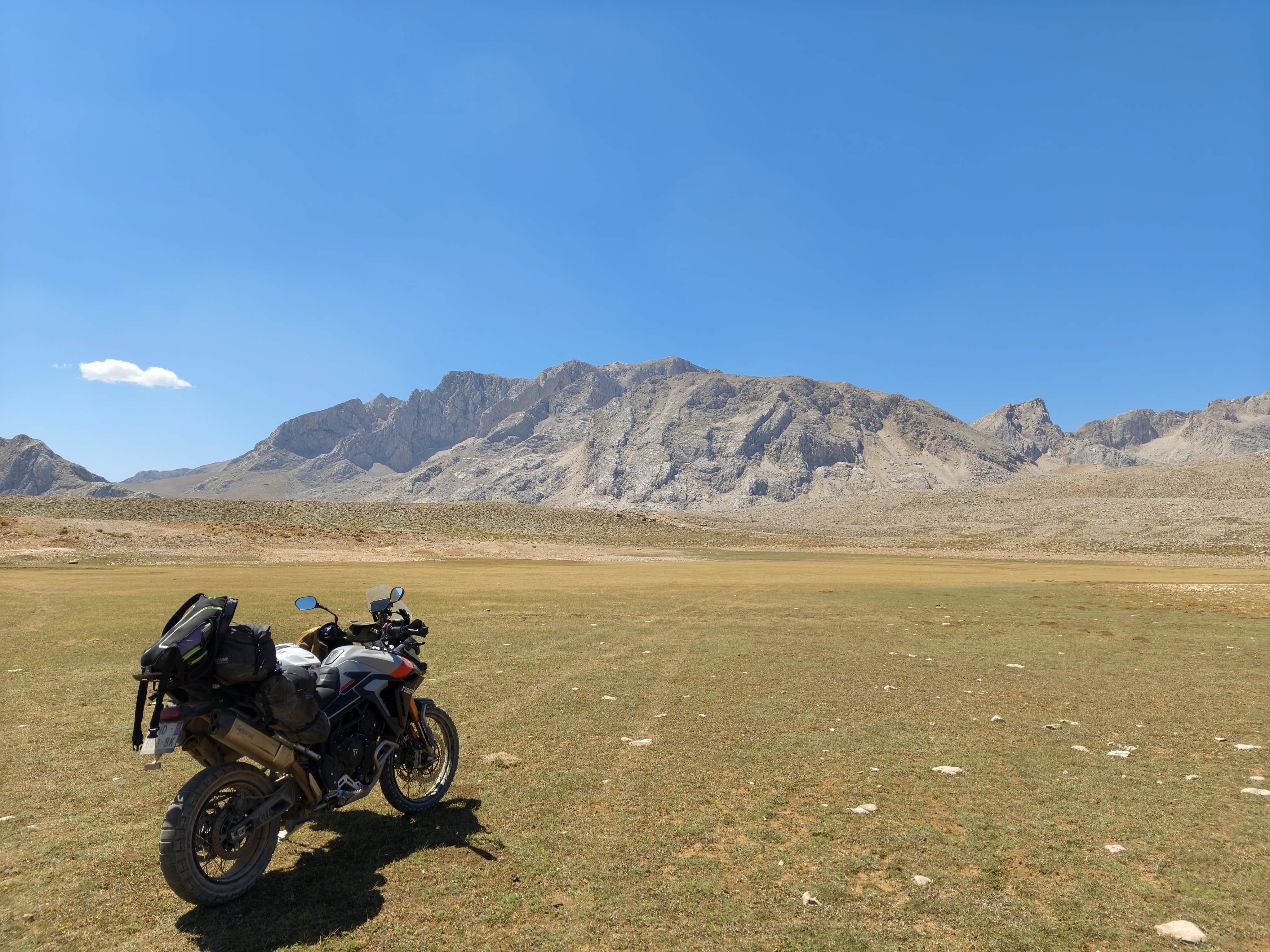
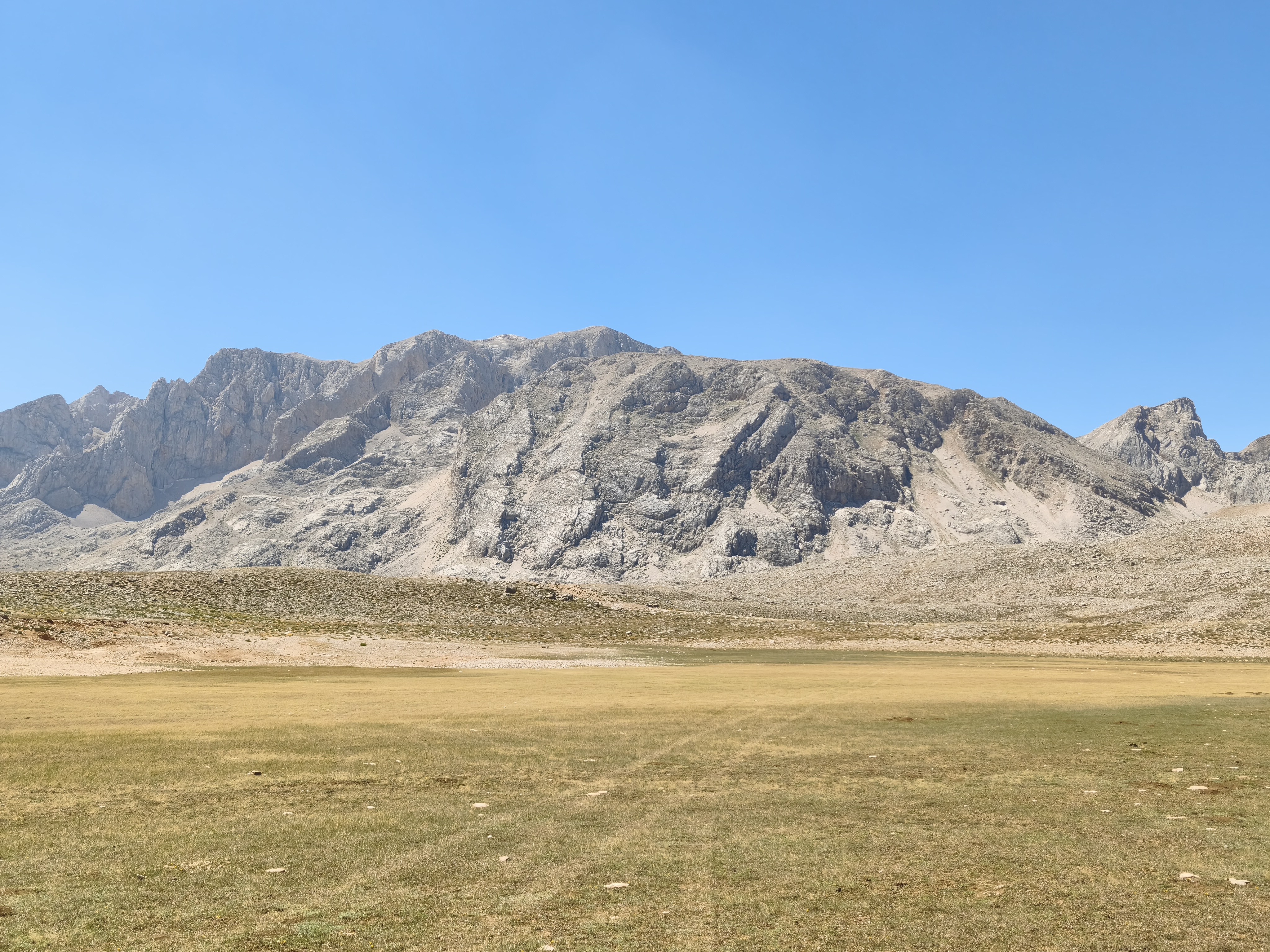
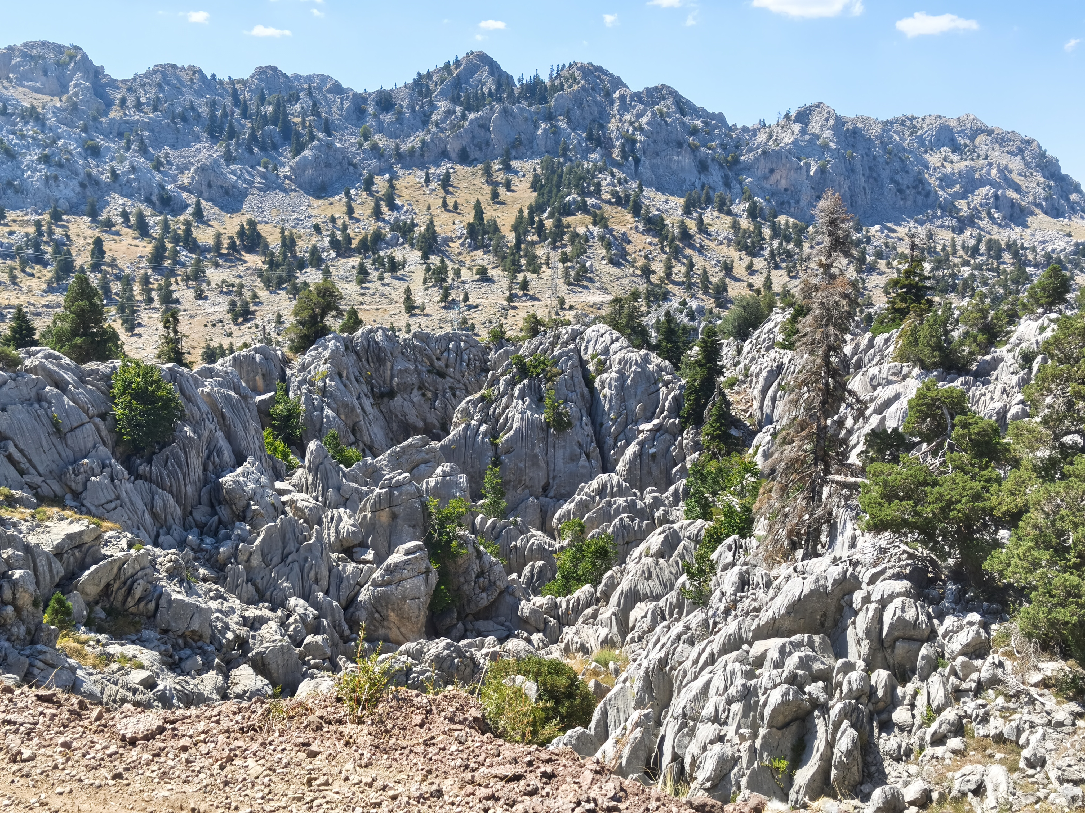
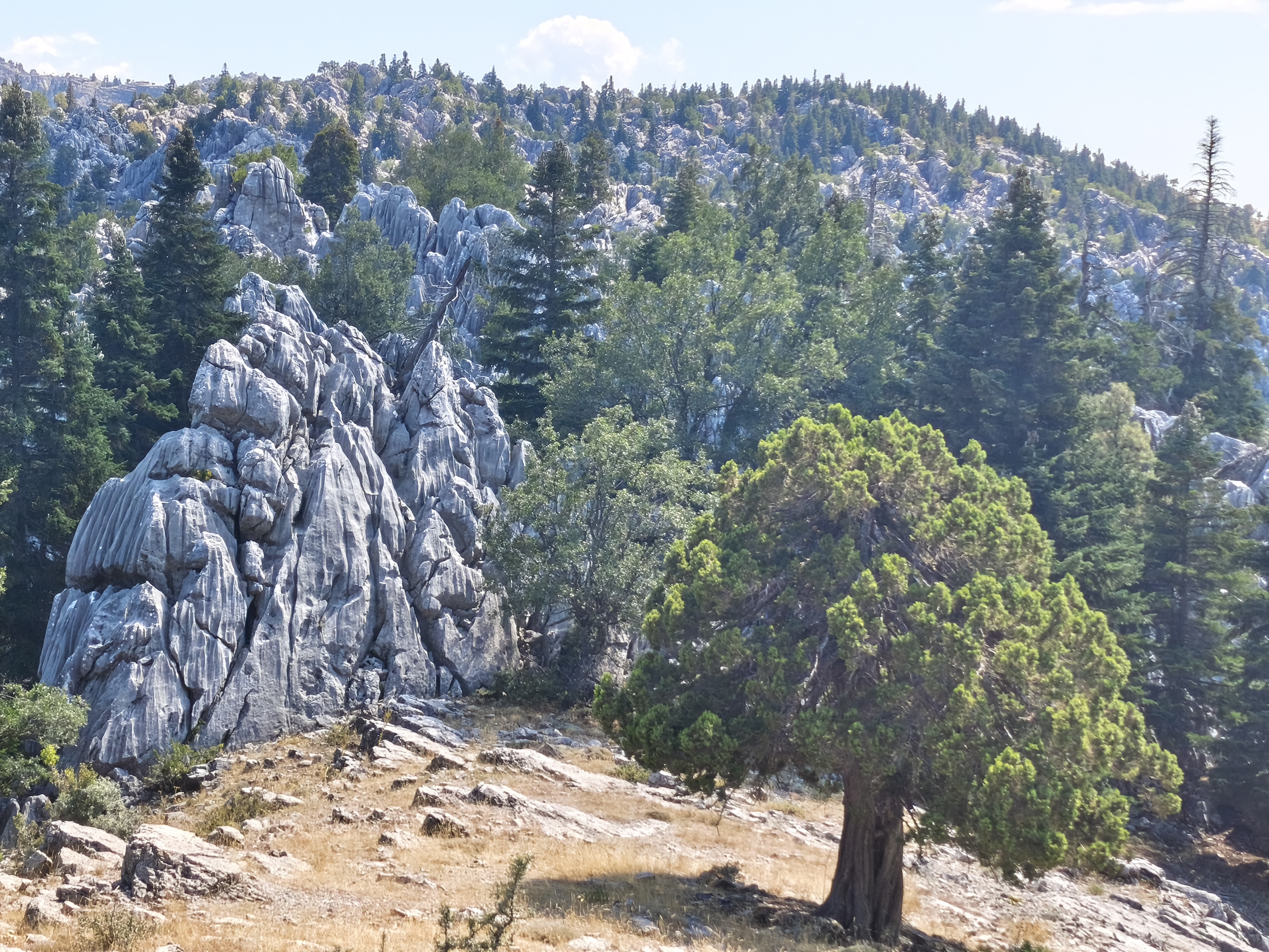
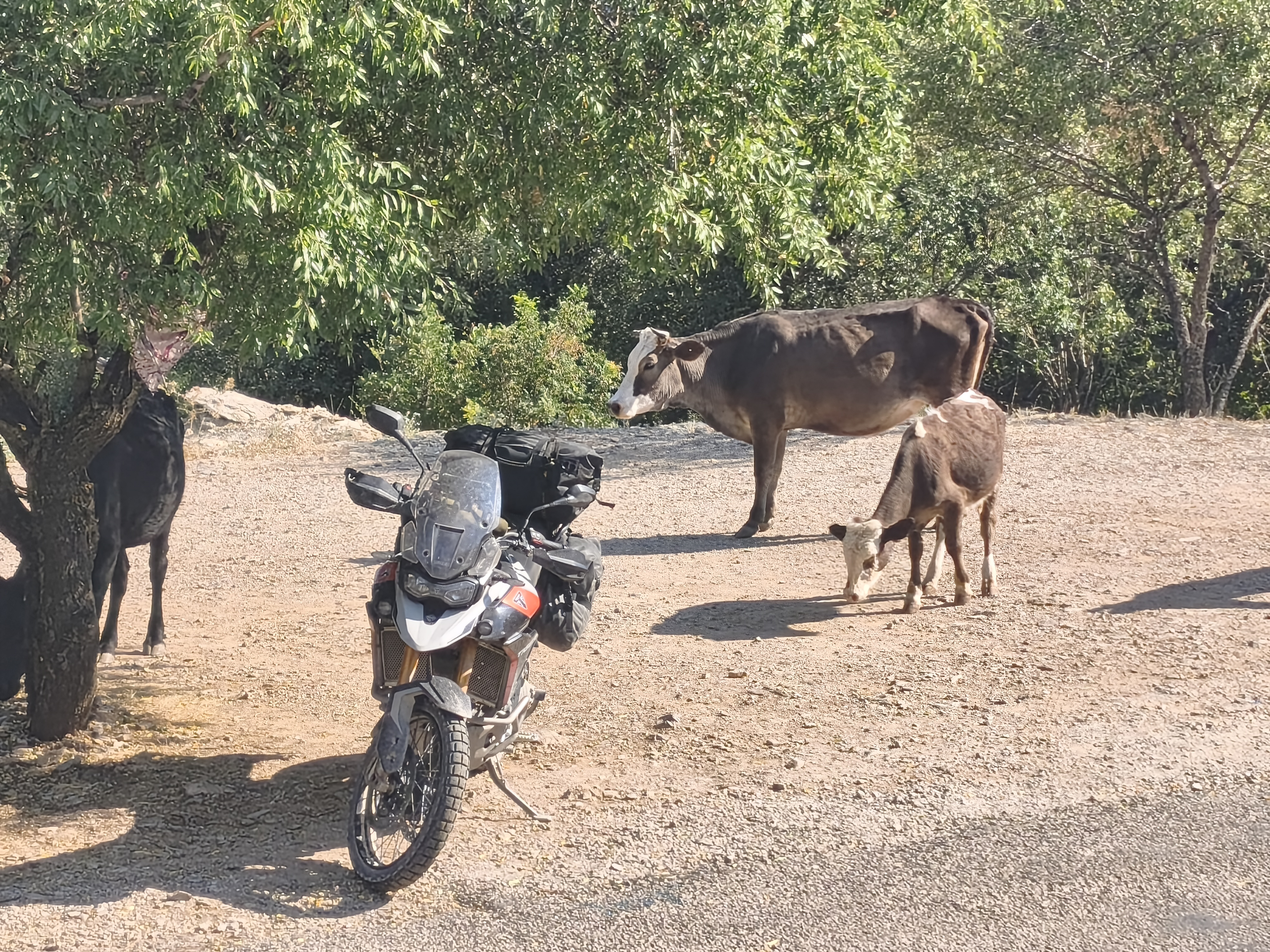
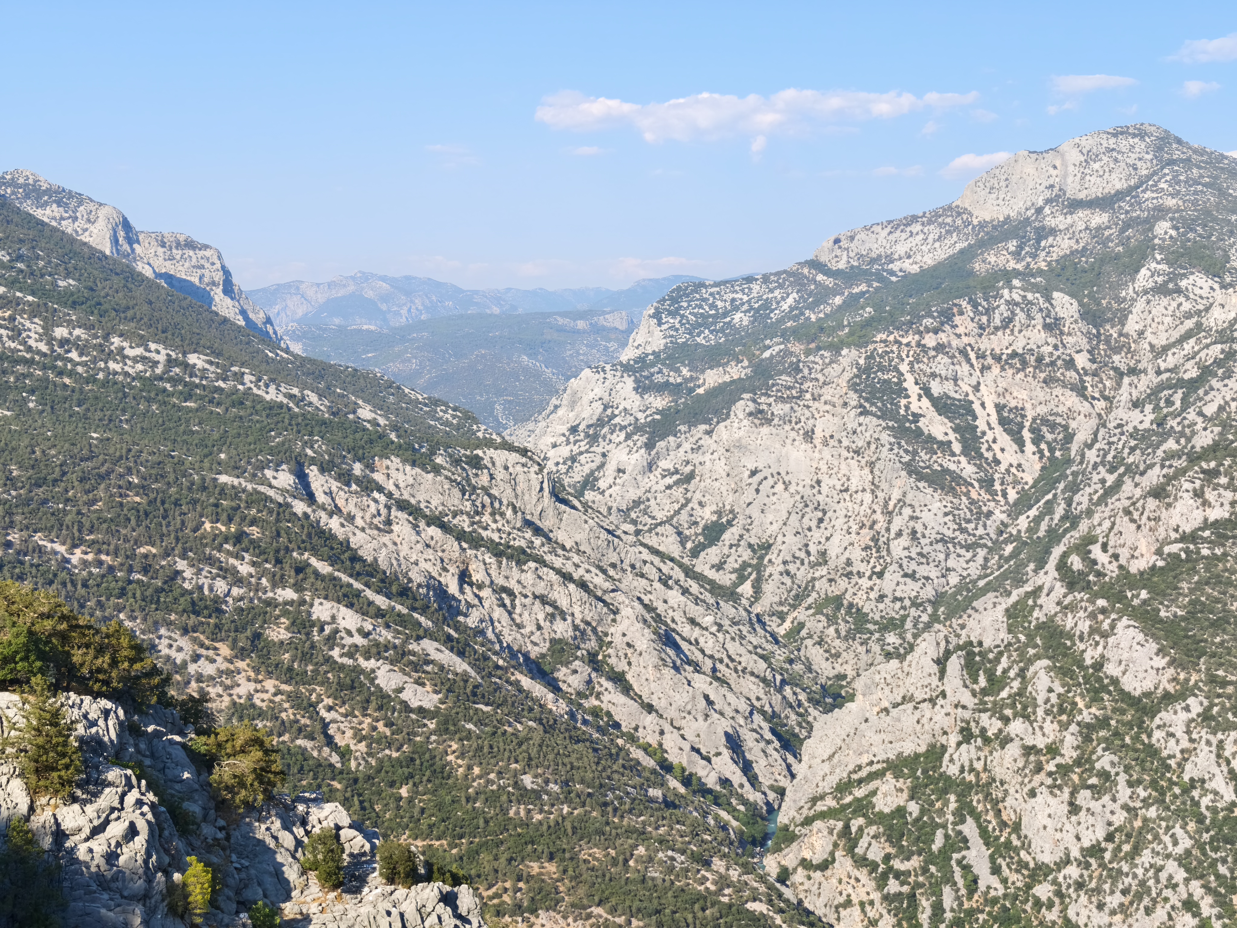
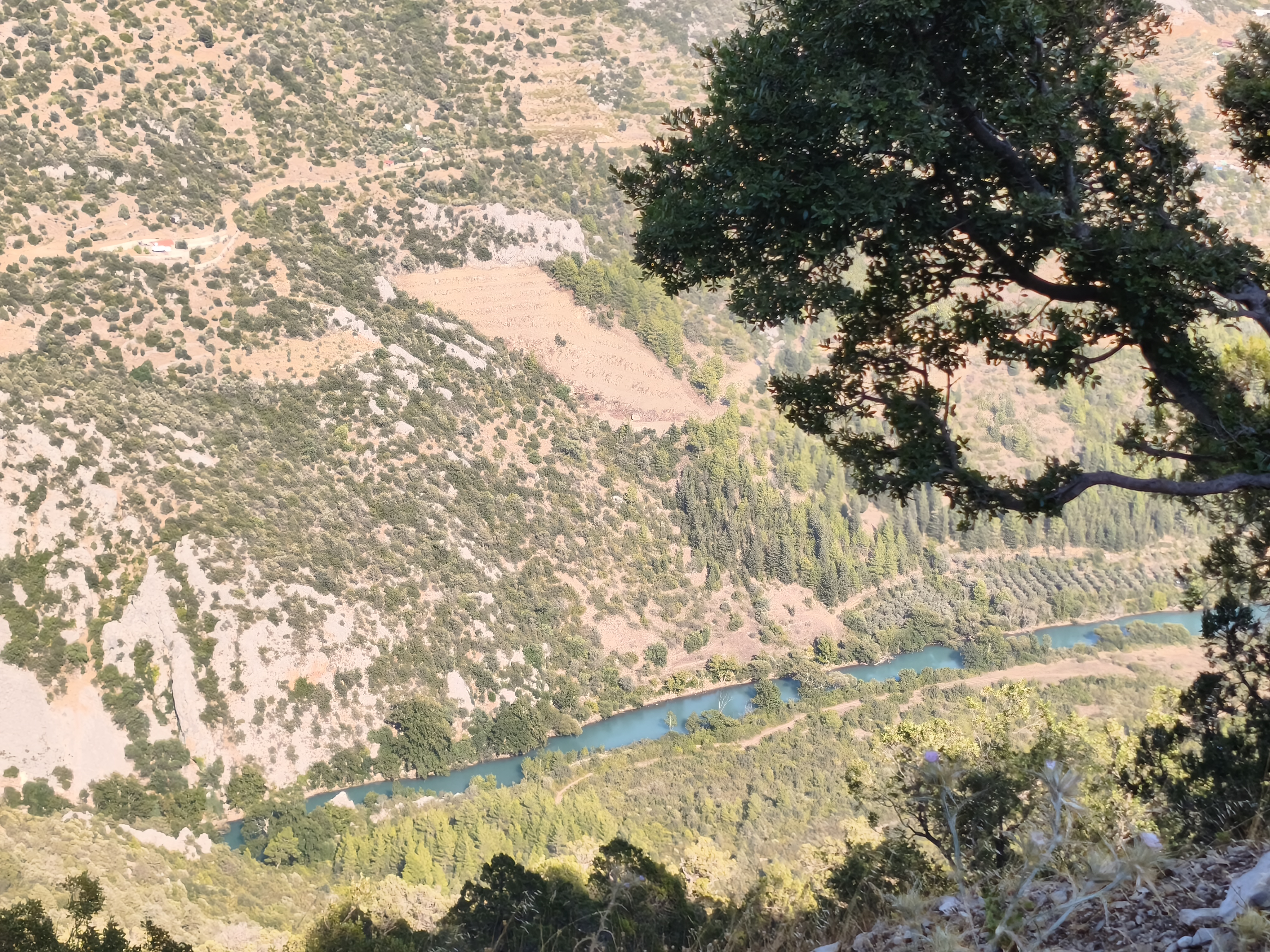
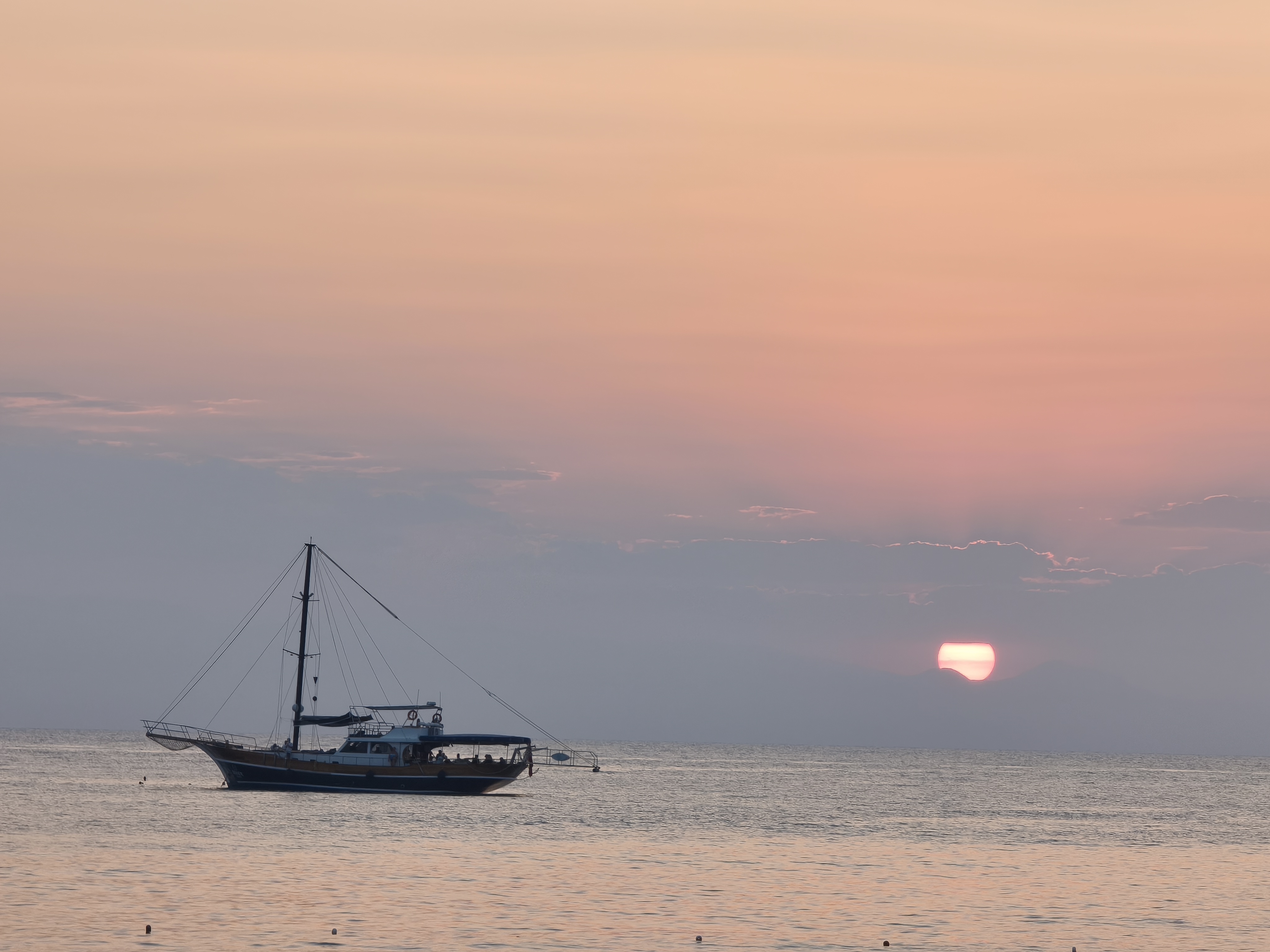
My best off-road day of the entire trip, but also the most physically grueling! Departure from Ermenek toward the Geyik Mountains: rocky passes, high-altitude lakes, and isolated pastures. The hospitality here is unforgettable: every shepherd or farmer you pass waves for you to stop and share a glass of scalding hot çay! In the afternoon, a rough track through the Gidengelmez Massif (« The Mountains of No Return ») and its jagged limestone rocks. A dizzying descent toward the coast via roads overlooking the Manavgat Canyon. Arrival in Side: the humidity and mass tourism come as a shock; the ancient section of the city is closed to the public for renovations, and international tourism is overwhelming. My only desire: get back into the mountains, scheduled for tomorrow!
Ma plus belle journée d’off-road du voyage, mais aussi la plus éprouvante physiquement ! Départ d’Ermenek vers les monts Geyik: cols rocheux, lacs d’altitude et pâturages isolés. L’hospitalité ici est inoubliable : chaque berger ou fermier croisé vous fait signe de vous arrêter pour partager un verre de çay brûlant ! L’après-midi, piste cassante dans le massif de Gidengelmez (« Les montagnes dont on ne revient pas ») et ses roches calcaires découpées. Descente vertigineuse vers la côte par des routes surplombant le canyon de Manavgat. Arrivée à Side : l’humidité et le tourisme de masse font un choc, la partie antique de la ville n’est pas ouverte au public le temps de travaux, le tourisme international y est trop important. Une seule envie : le retour en montagne prévu dès le lendemain !
Day #24: Side – Sagalassos. Distance: 325 km (285 km Road / 40 km Off-road track)
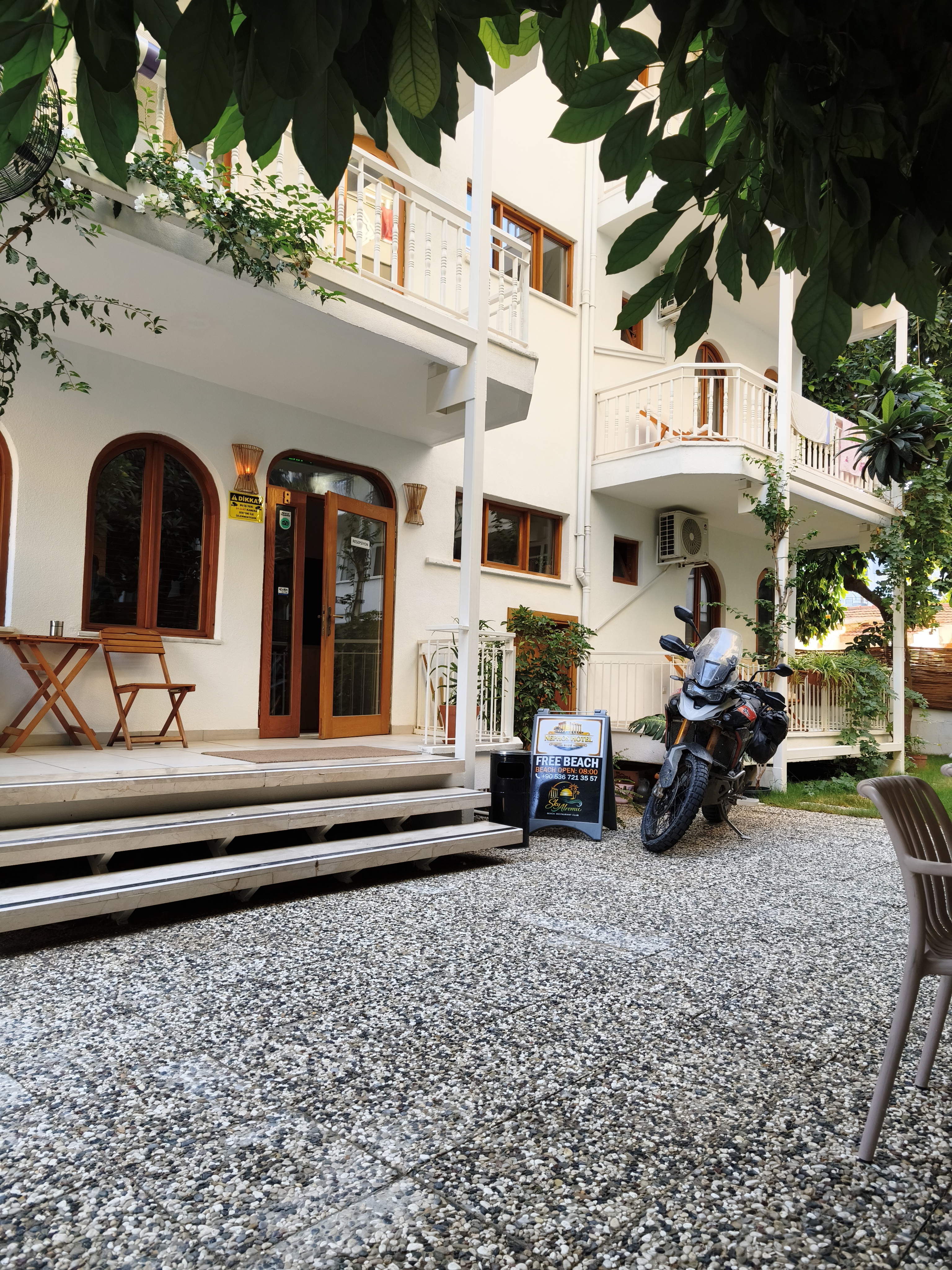
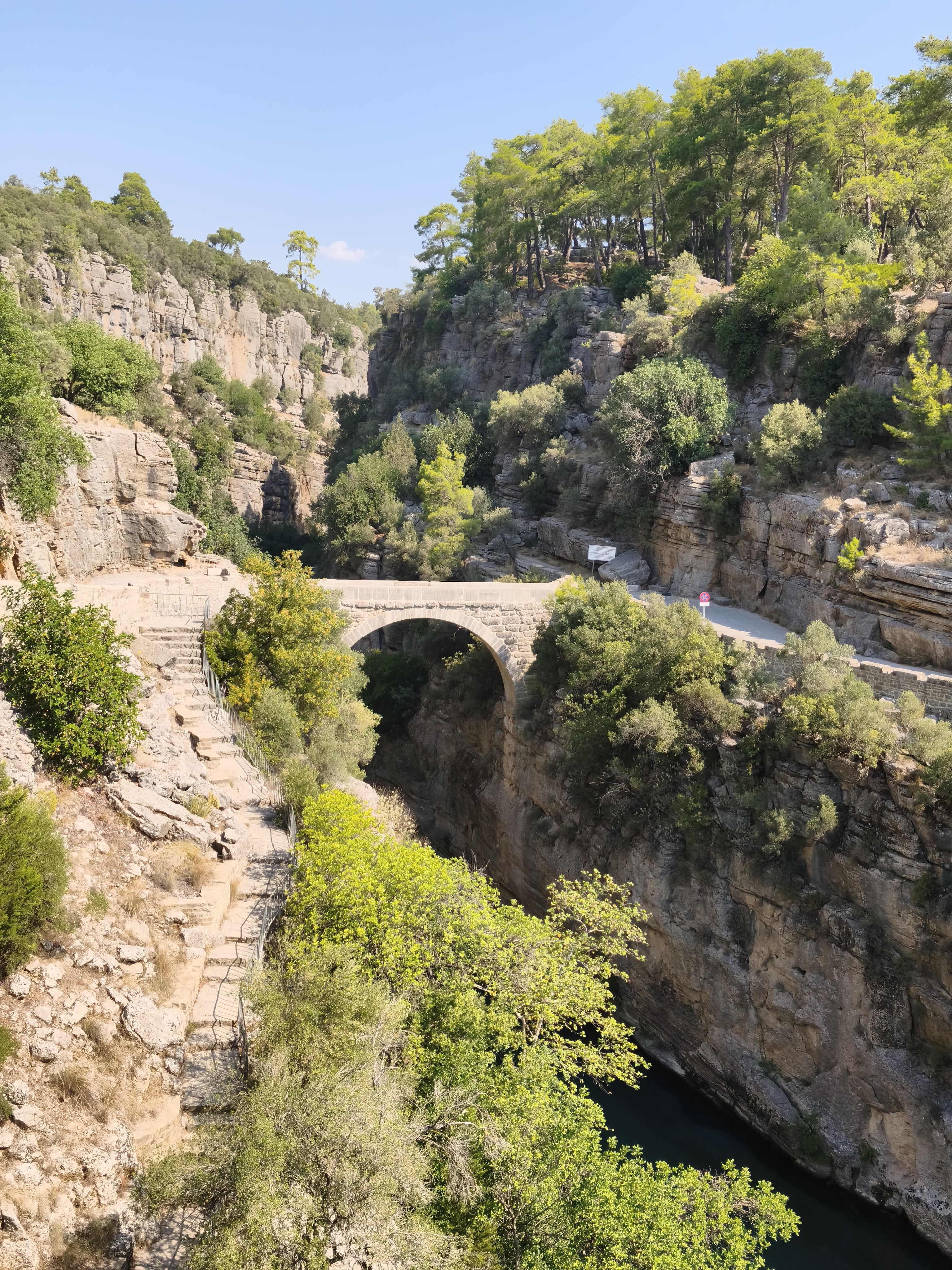
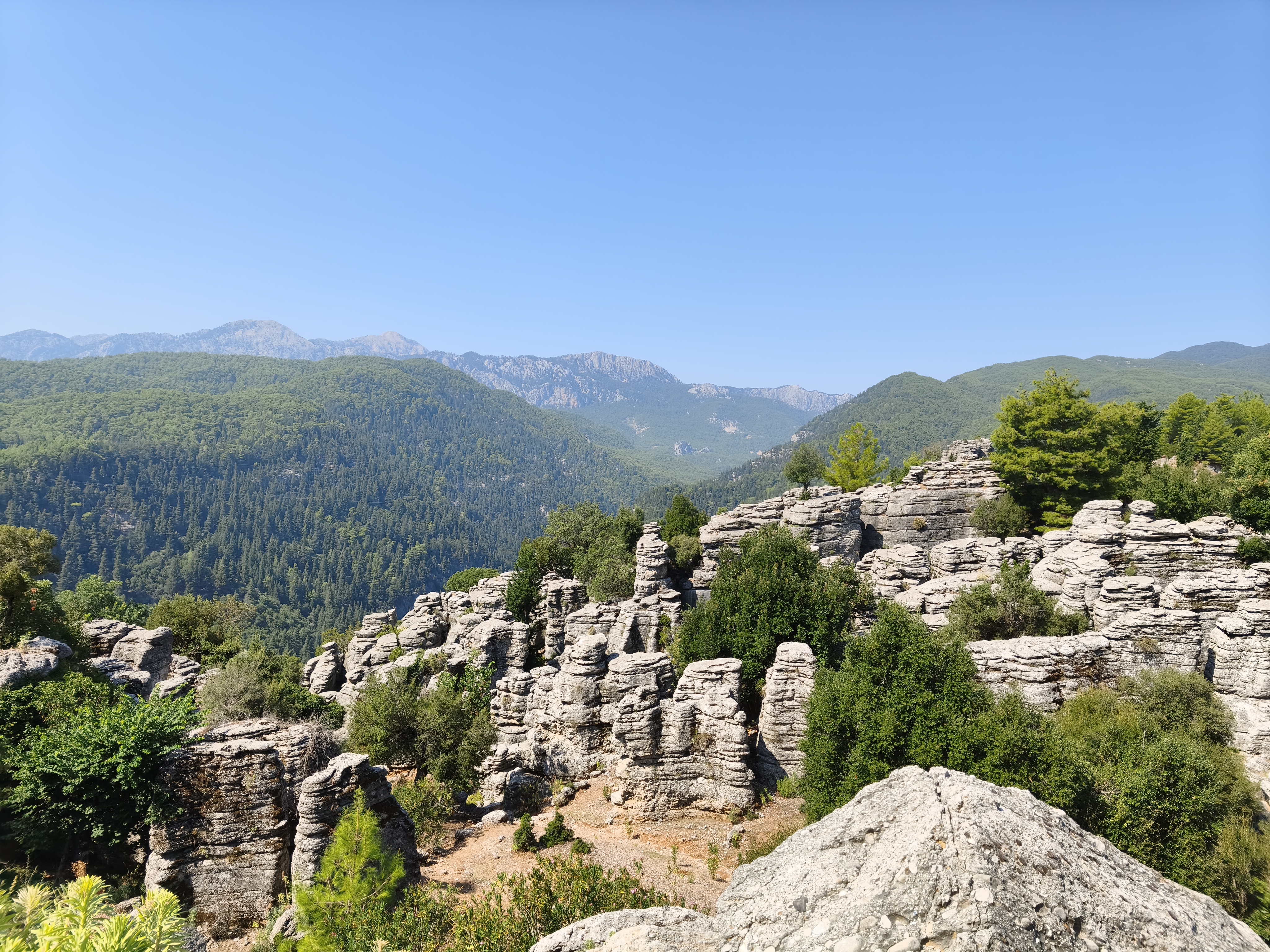
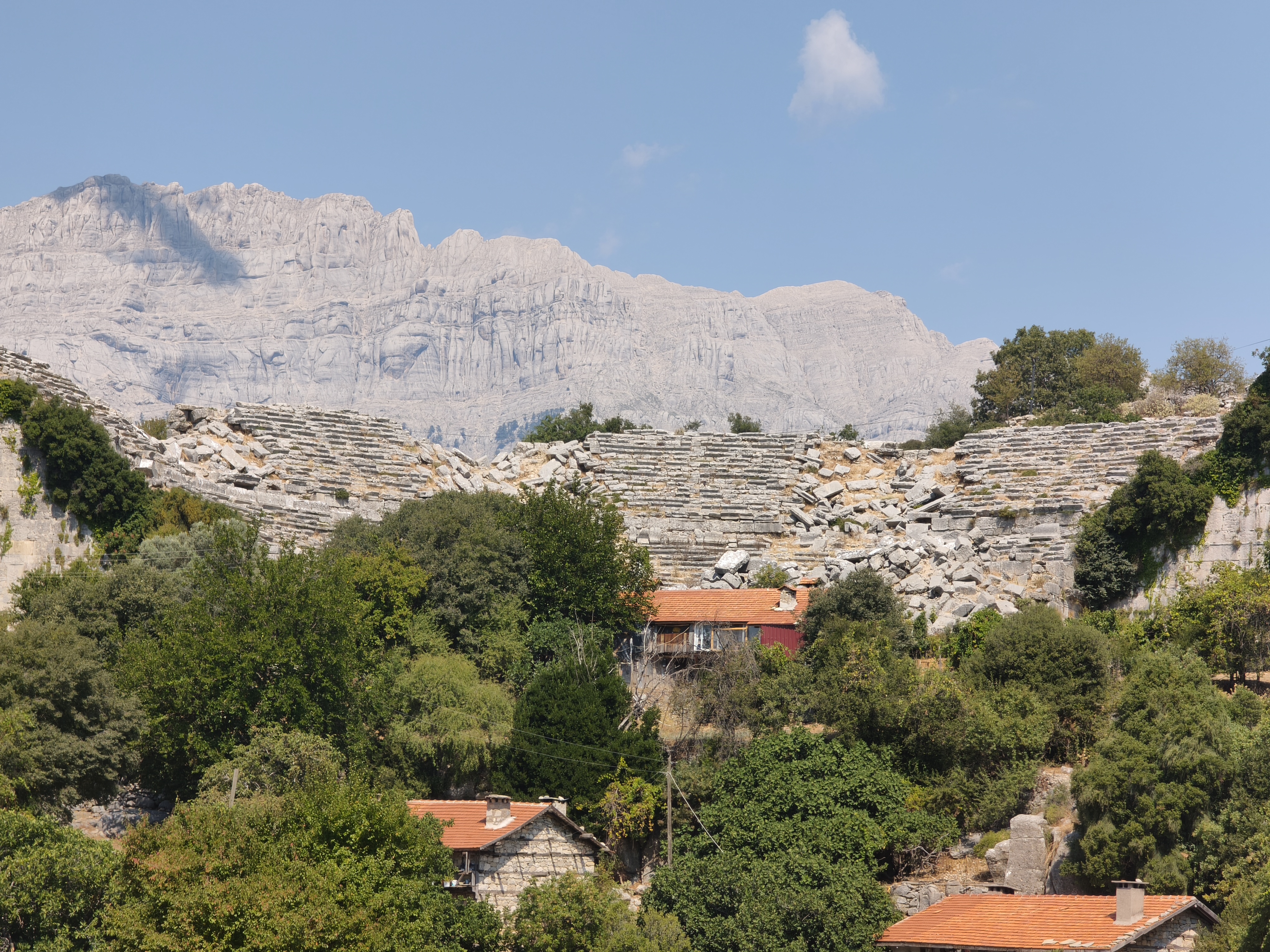
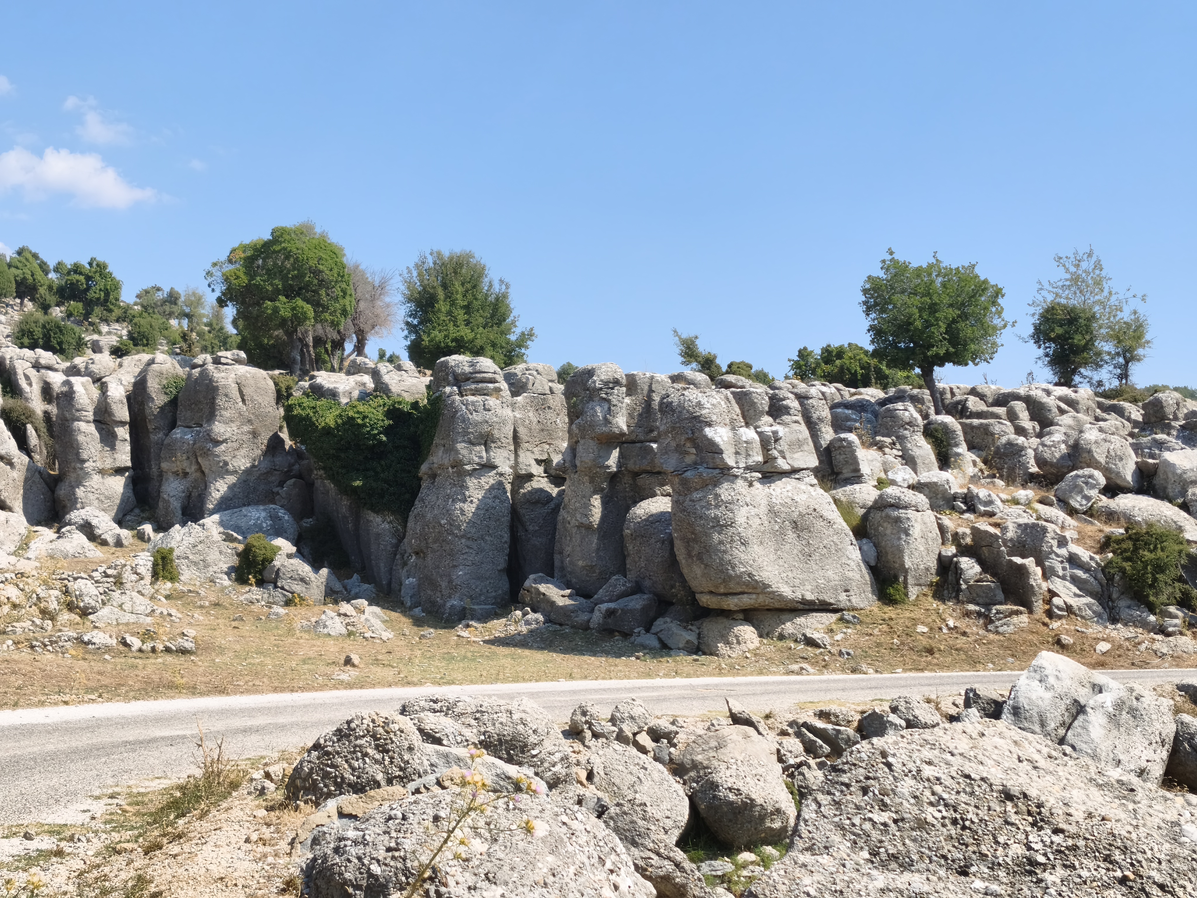
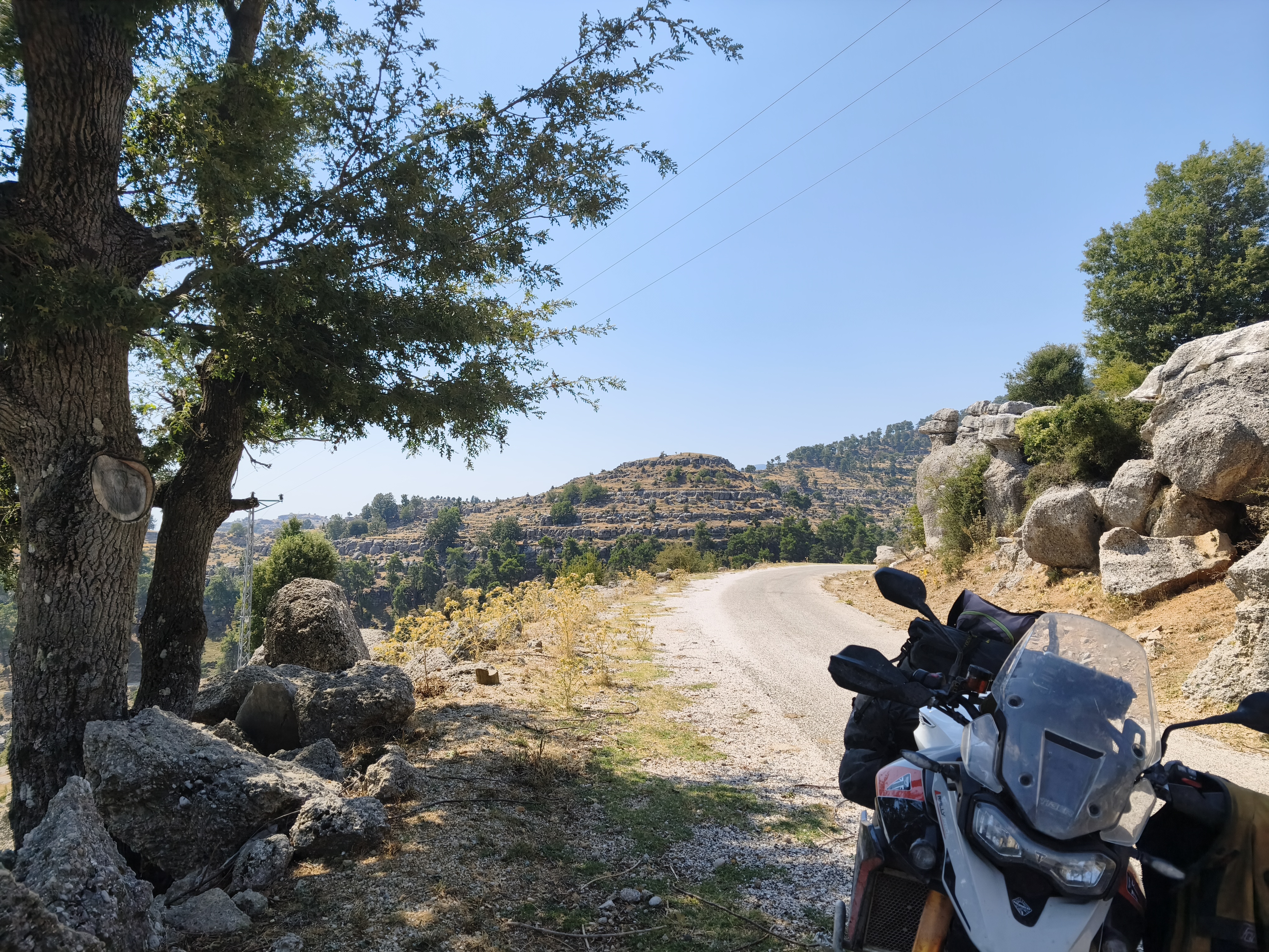
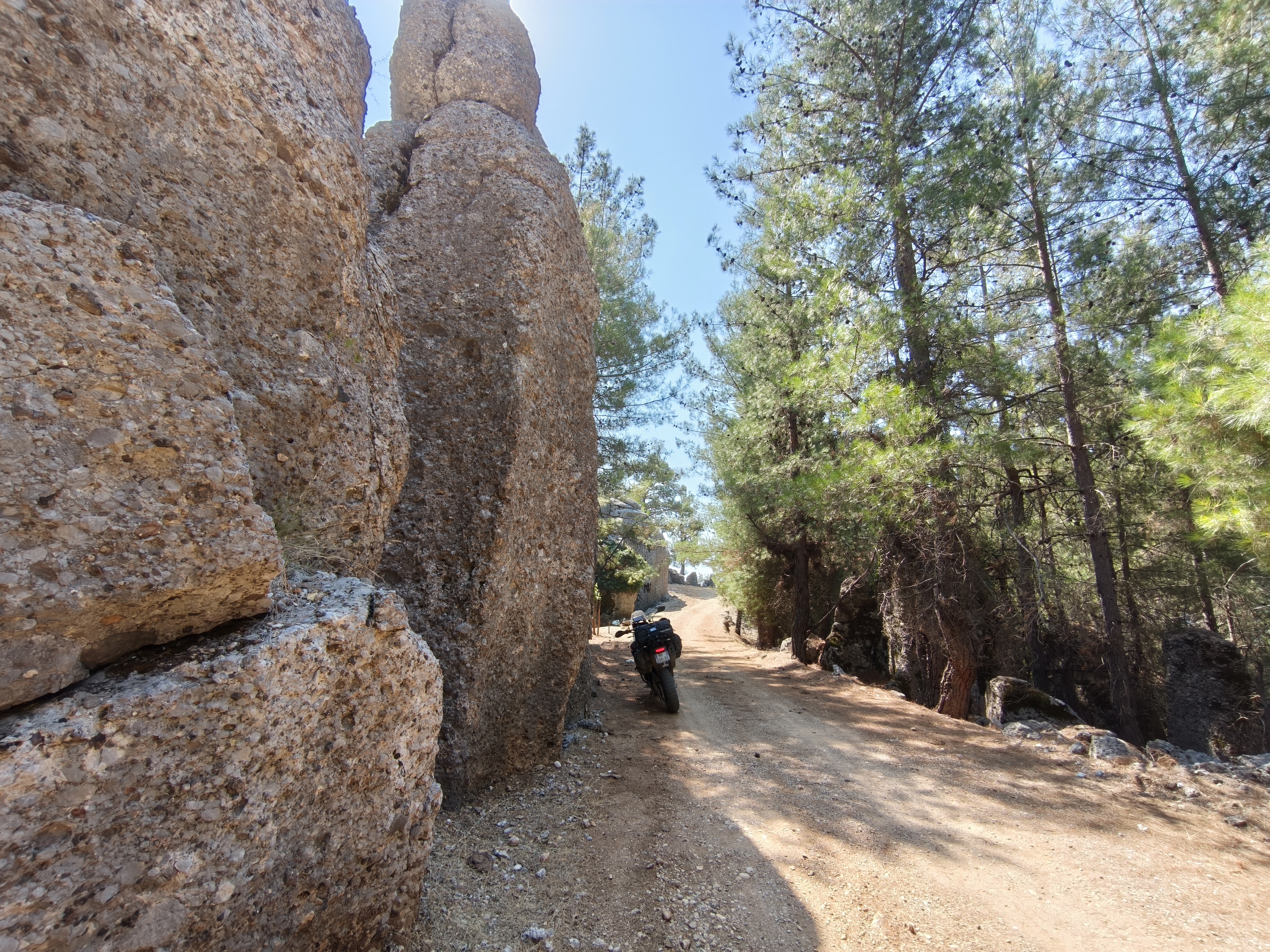
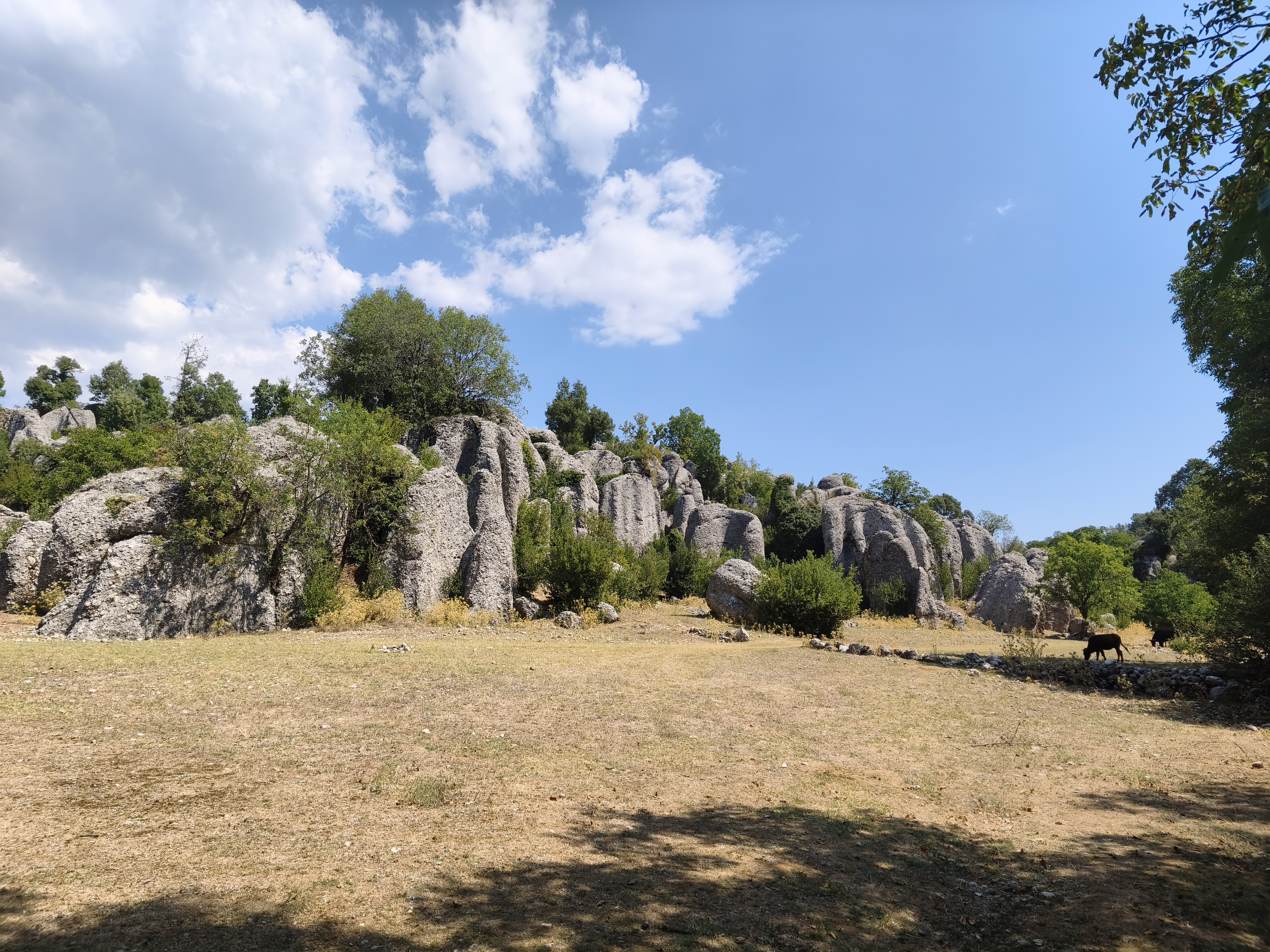
Heavy heat at dawn in Side (>30°C at 6:00 AM). Escape inland through the Köprülü Canyon before climbing up to the ancient city of Selge. This is where the track to Adam Kayalar (« The Men of Stone ») begins. Geologically, these are the most impressive rock formations I have ever seen: giant puddingstone monoliths standing like human silhouettes.
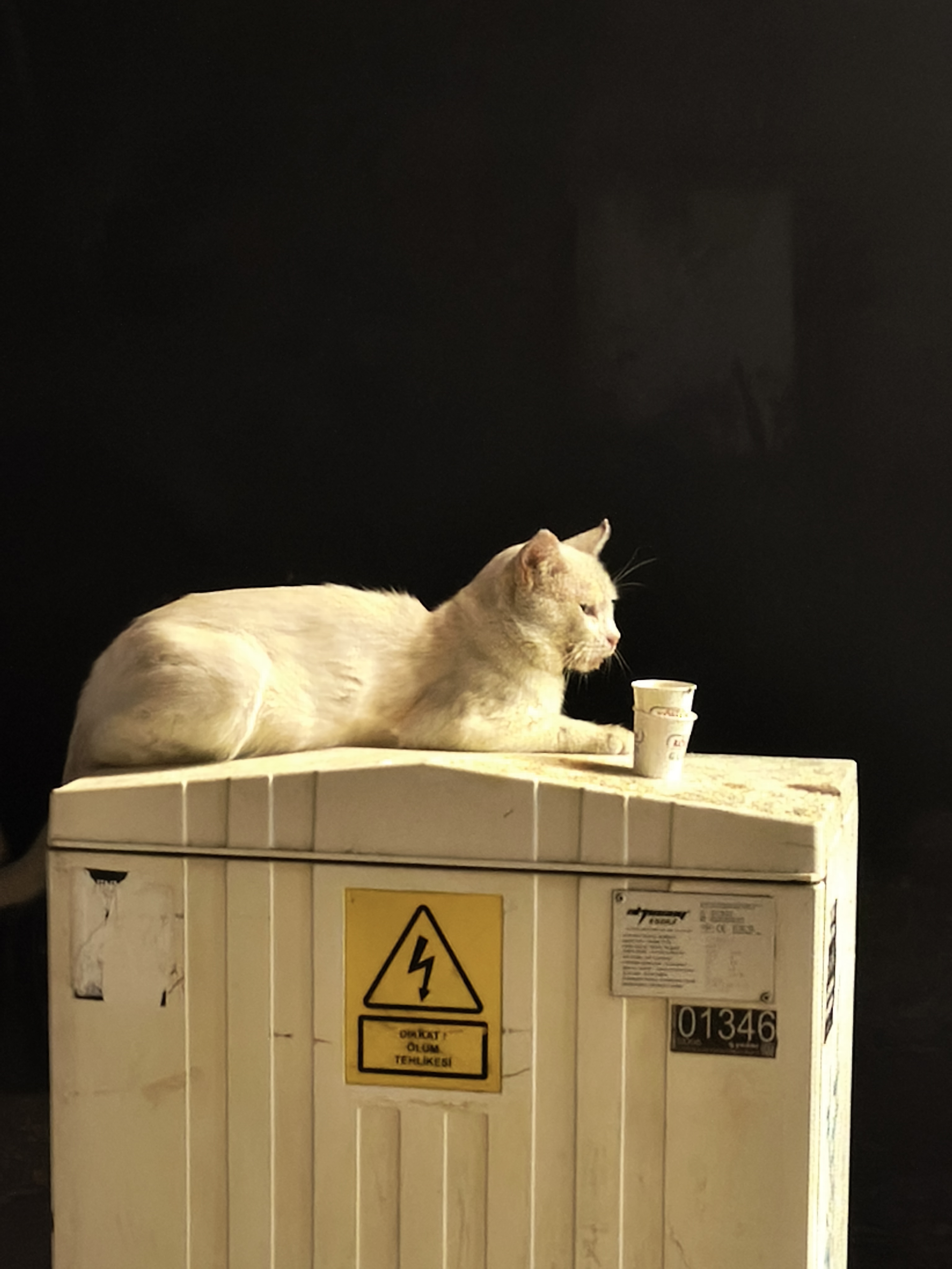
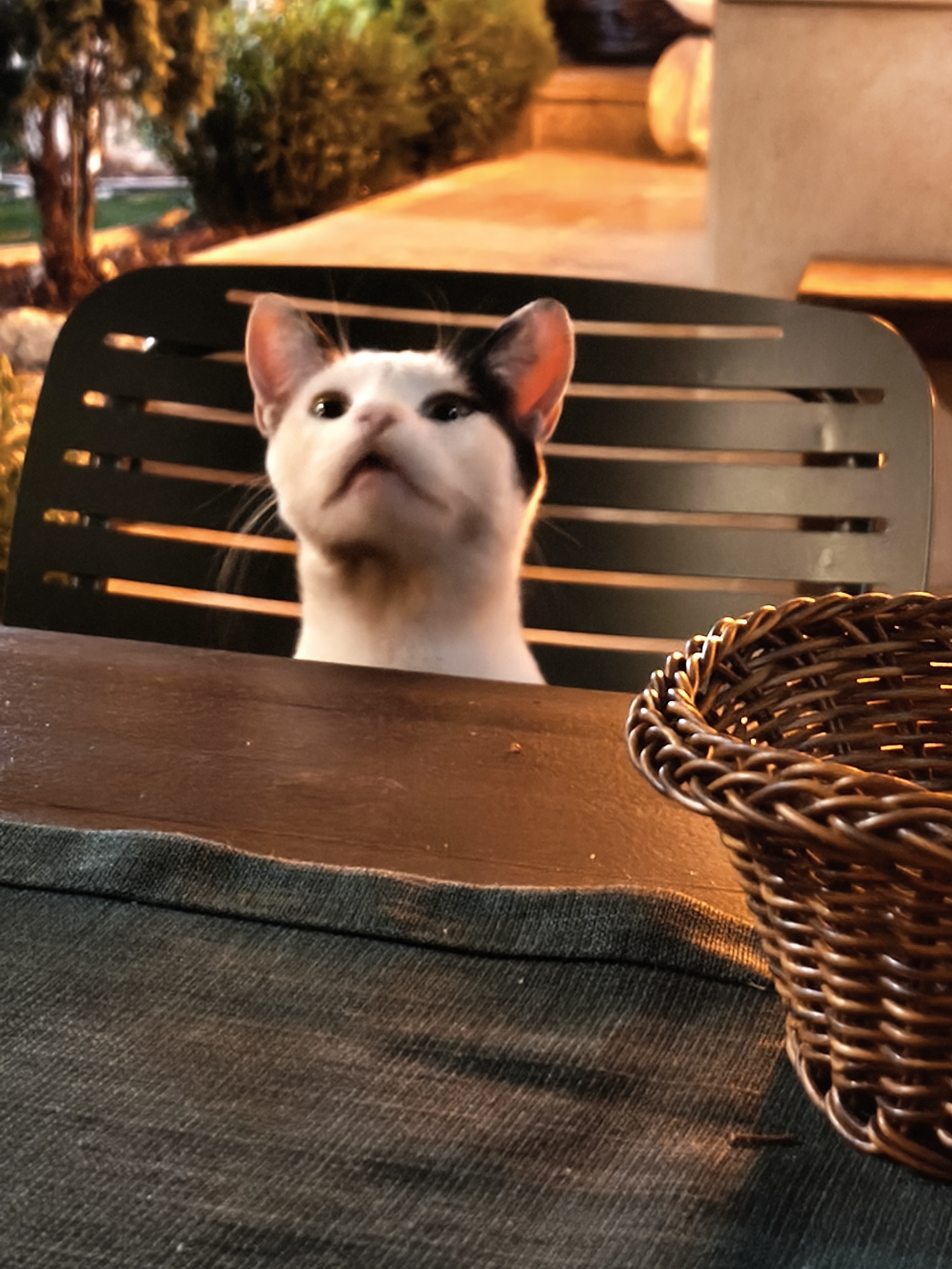
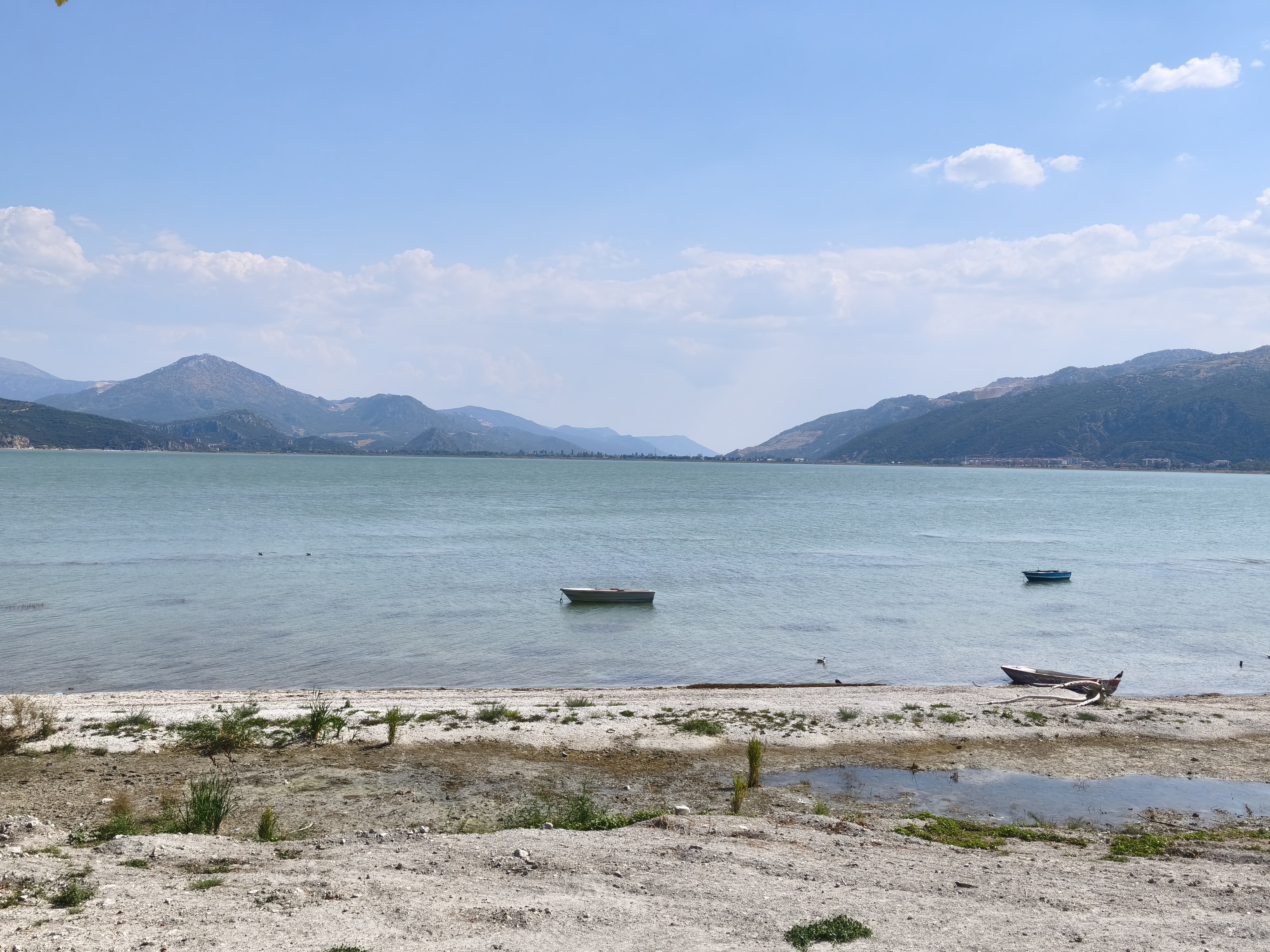
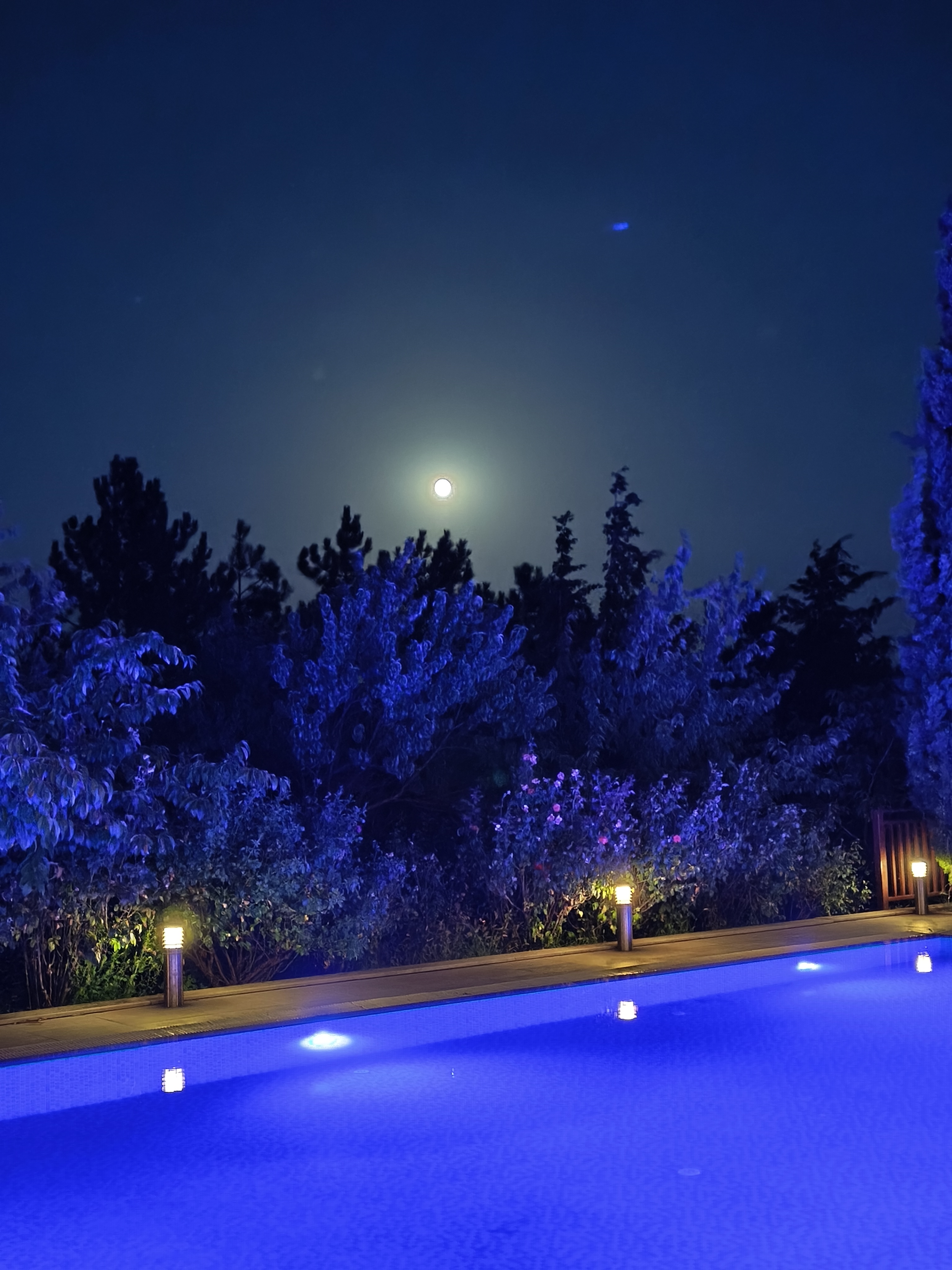
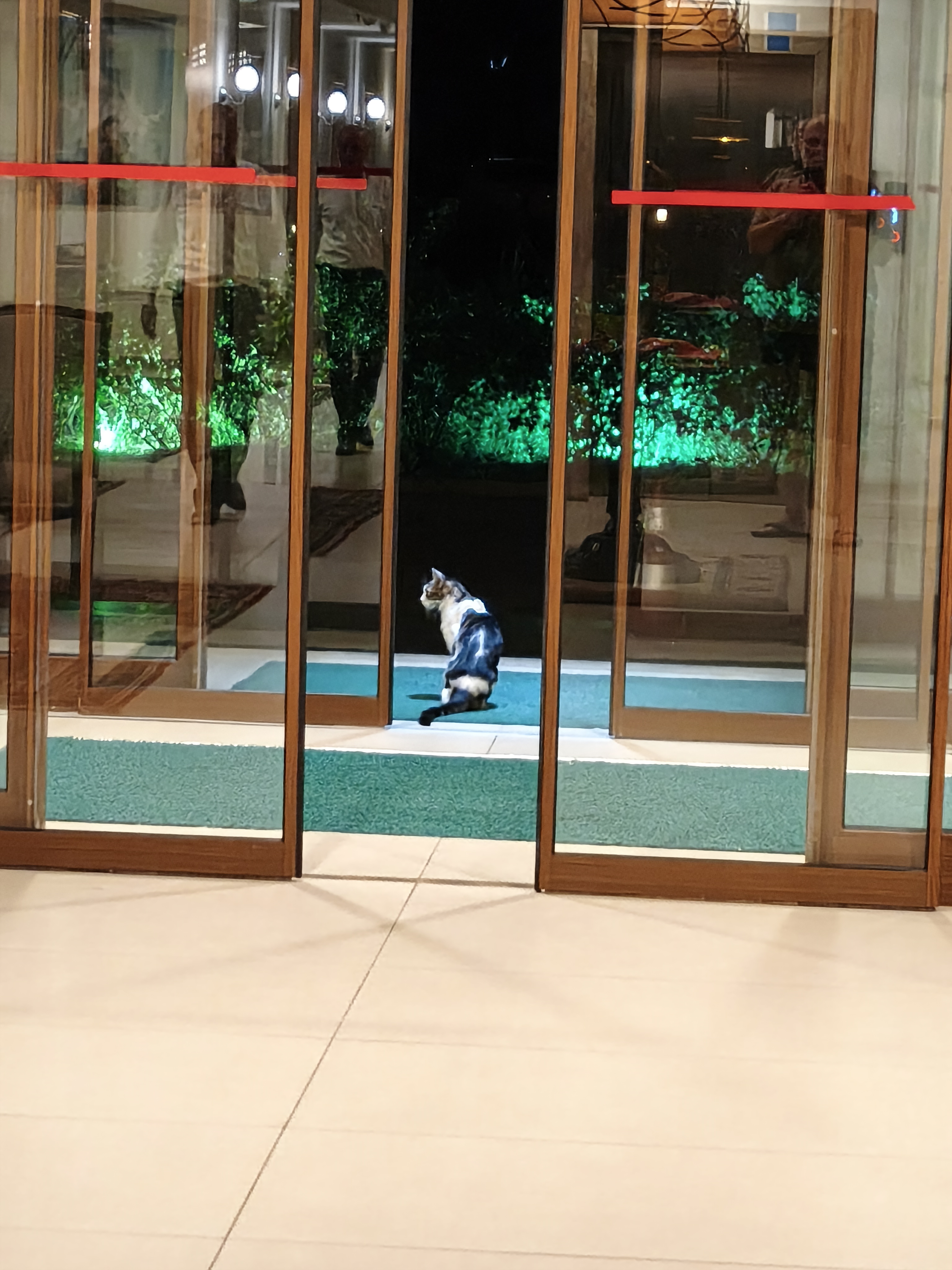
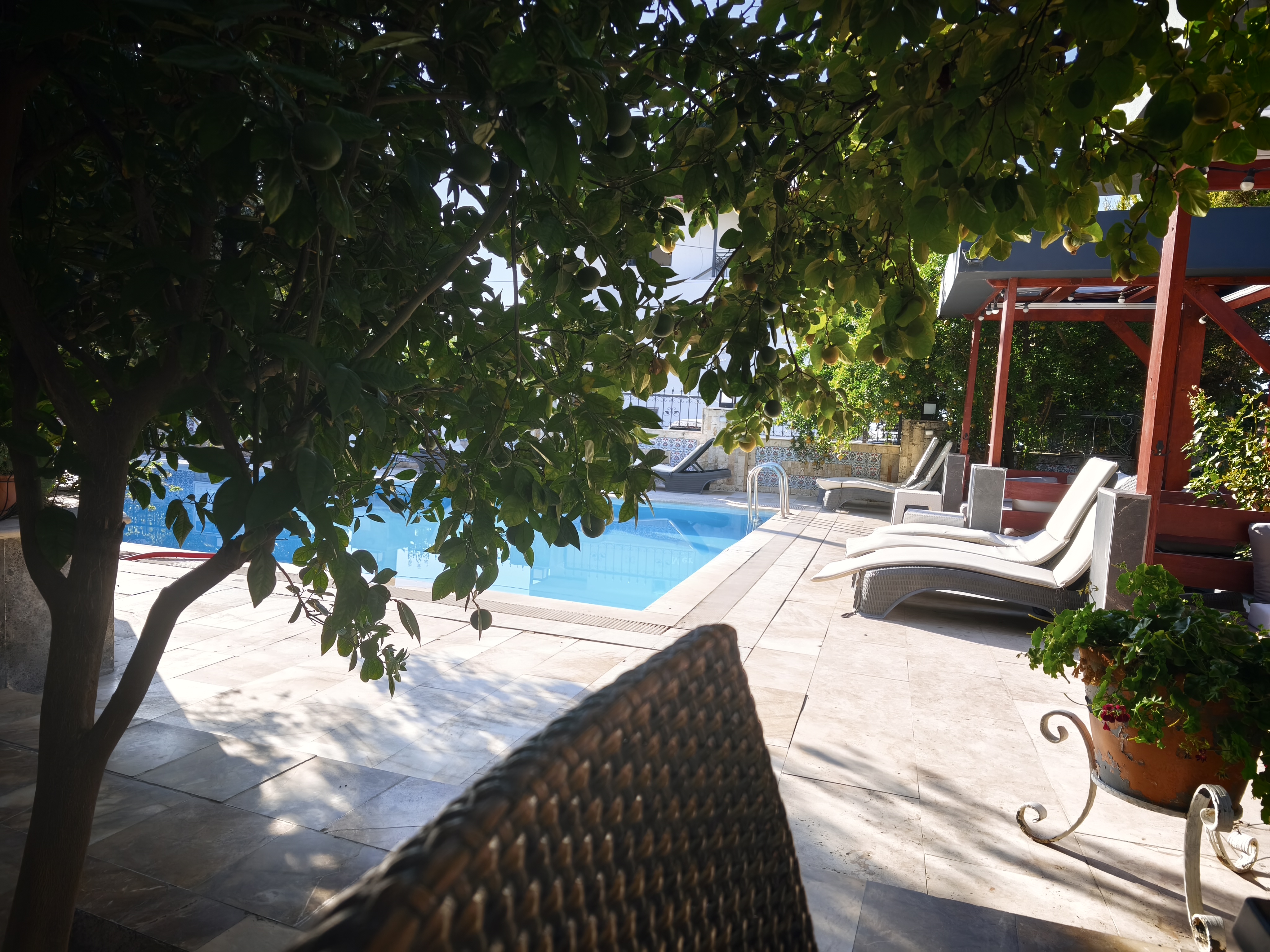
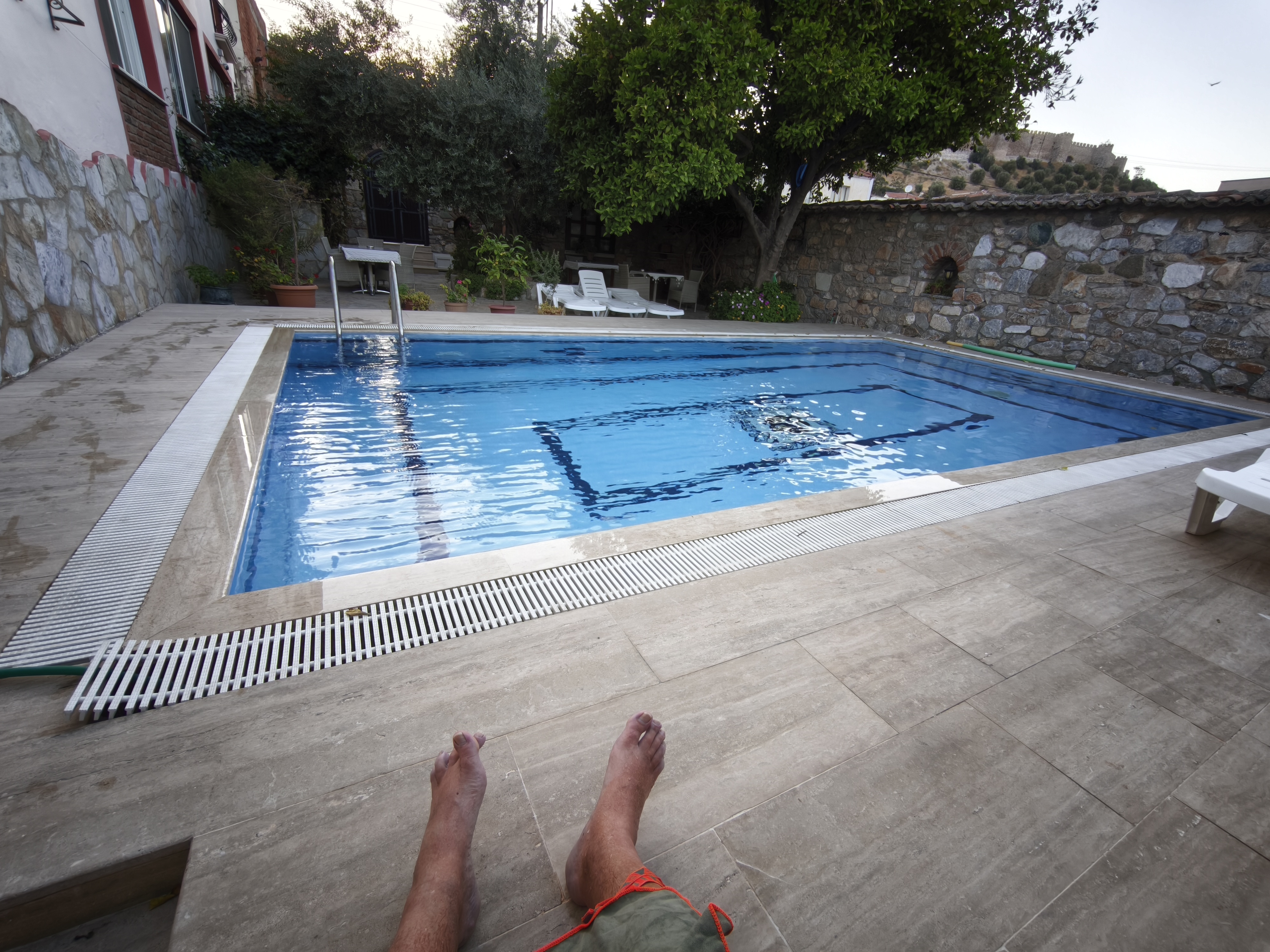
A highly technical trail and intense heat: every tree shadow becomes a mandatory hydration break. Heading next toward Lake Eğirdir—a sort of Anatolian Lake Geneva—before arriving early at the foot of the remarkable ancient site of Sagalassos. A plunge into the pool to recover, while officially entrusting the inn’s cat with guarding the motorcycle for the night!
Chaleur lourde dès l’aube à Side (>30°C à 6h). Échappée vers l’intérieur des terres par le canyon de Köprülü avant de grimper vers la cité antique de Selge. C’est là que débute la piste d’Adam Kayalar (« Les Hommes de Pierre »). Géologiquement, ce sont les formations rocheuses les plus impressionnantes qu’il m’ait été donné de voir : des poudingues géants dressés comme des silhouettes humaines.
Piste très technique et chaleur intense : chaque ombre d’arbre devient prétexte à une pause hydratation. Cap ensuite vers le lac d’Eğirdir, sorte de lac Léman anatolien, avant d’arriver tôt au pied du remarquable site antique de Sagalassos. Plongée dans la piscine pour récupérer, tout en confiant officiellement la garde de la moto au chat de l’auberge pour la nuit !
Day #25: Sagalassos – Kekova (Kaleüçağız). Distance: 290 km (Road)
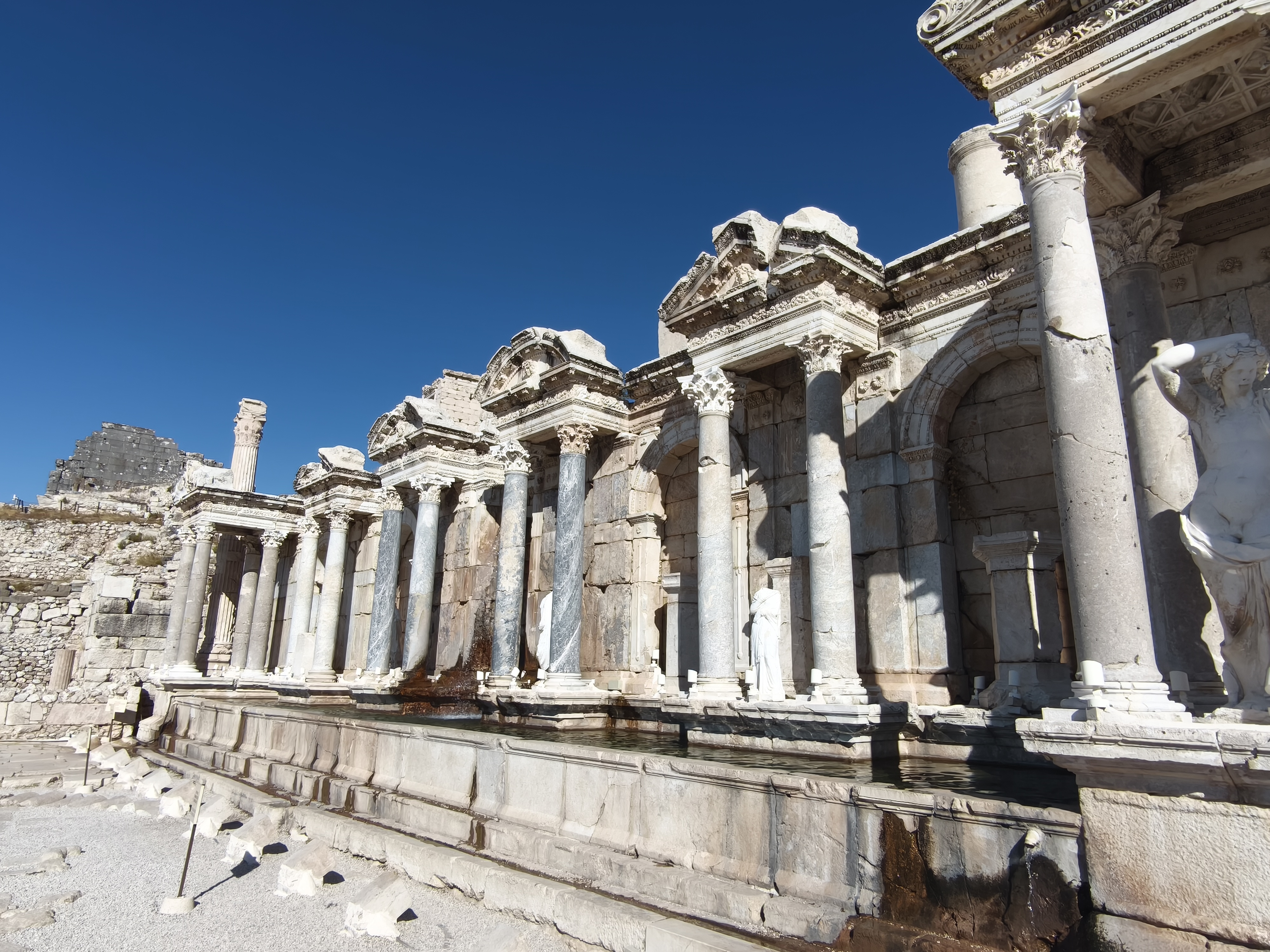
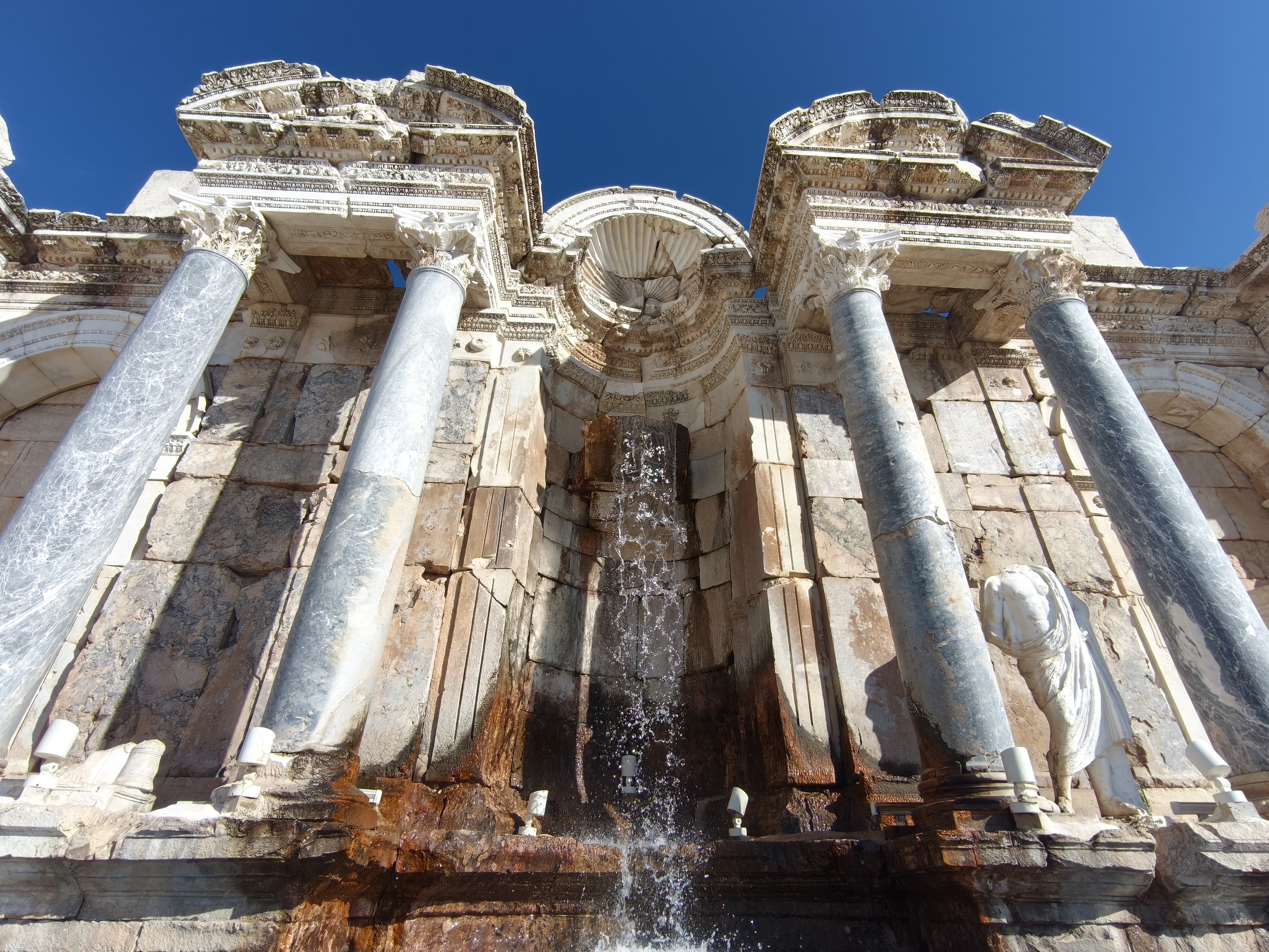
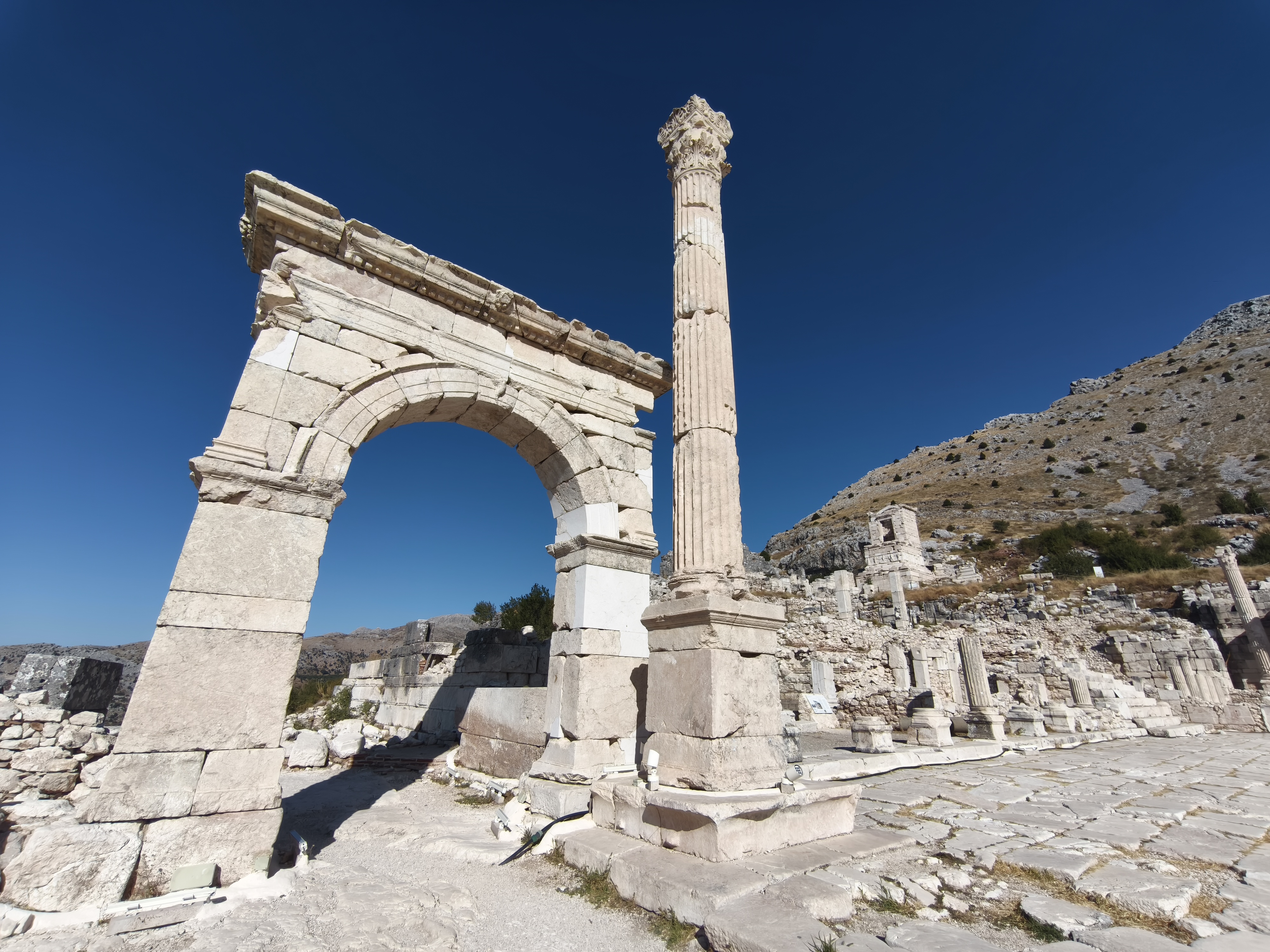
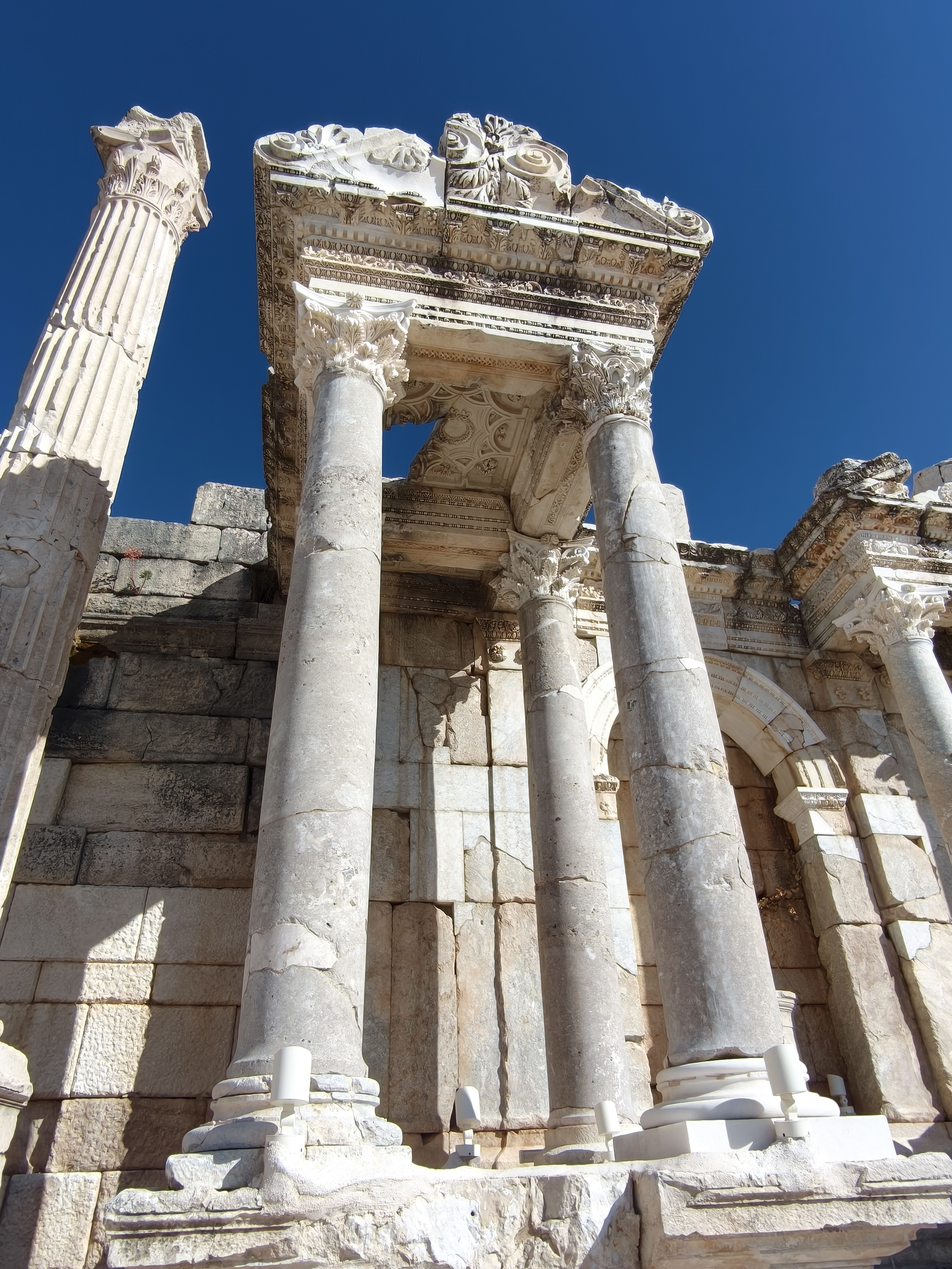
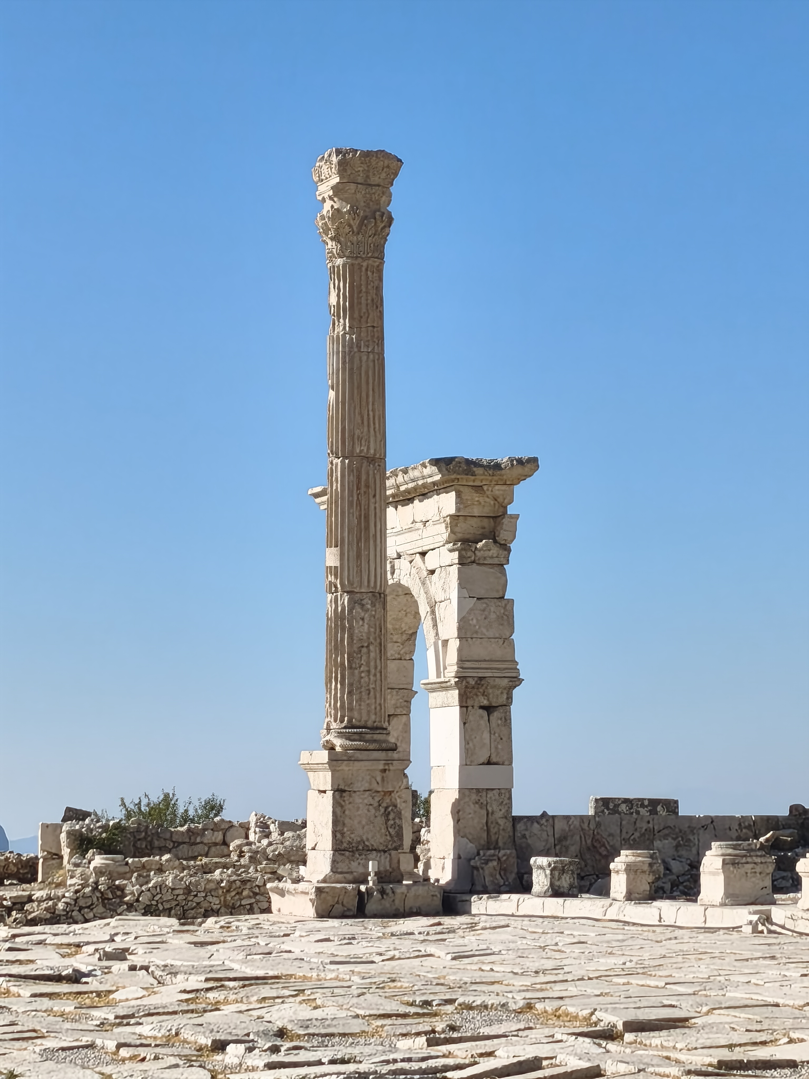
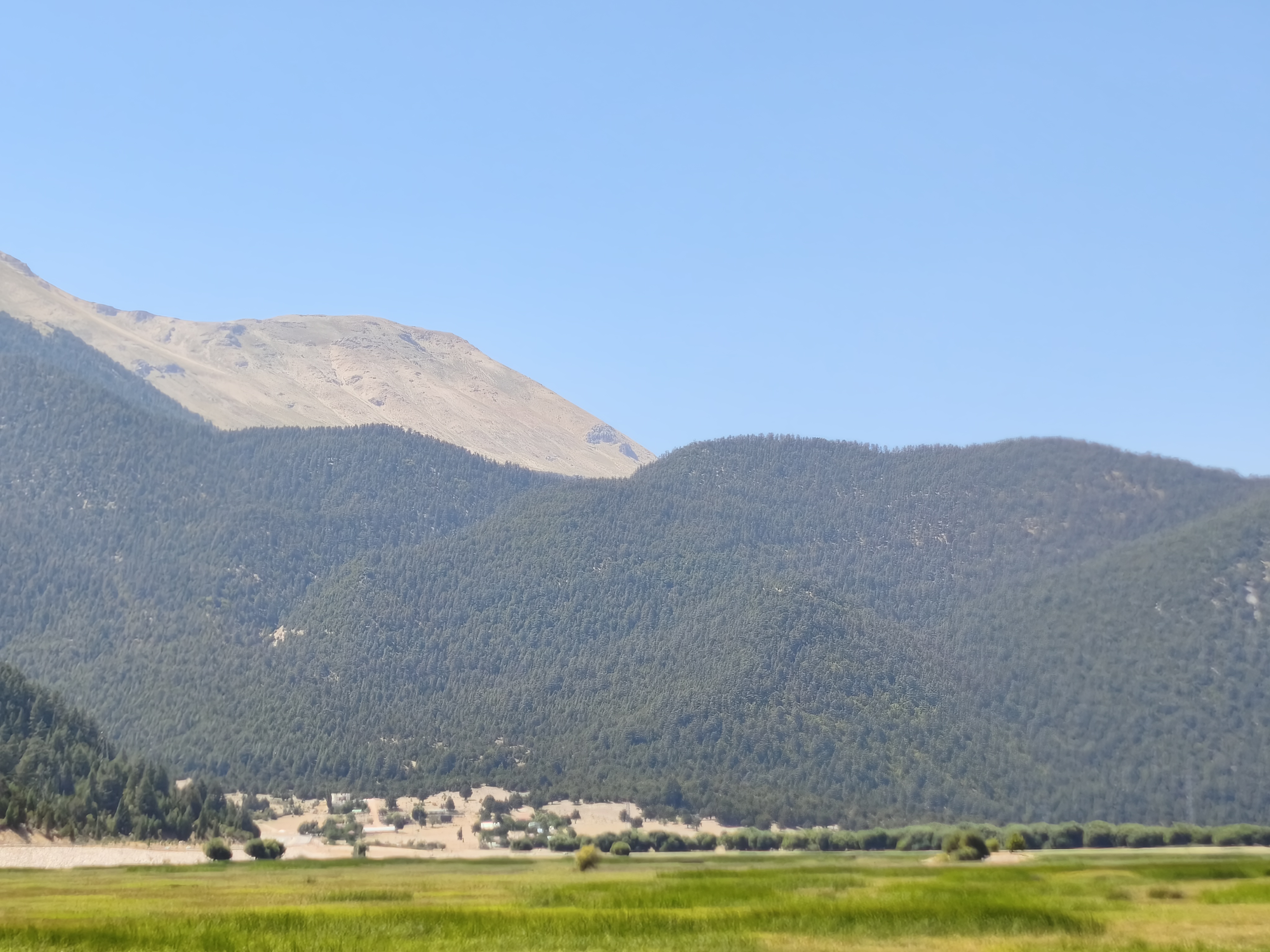
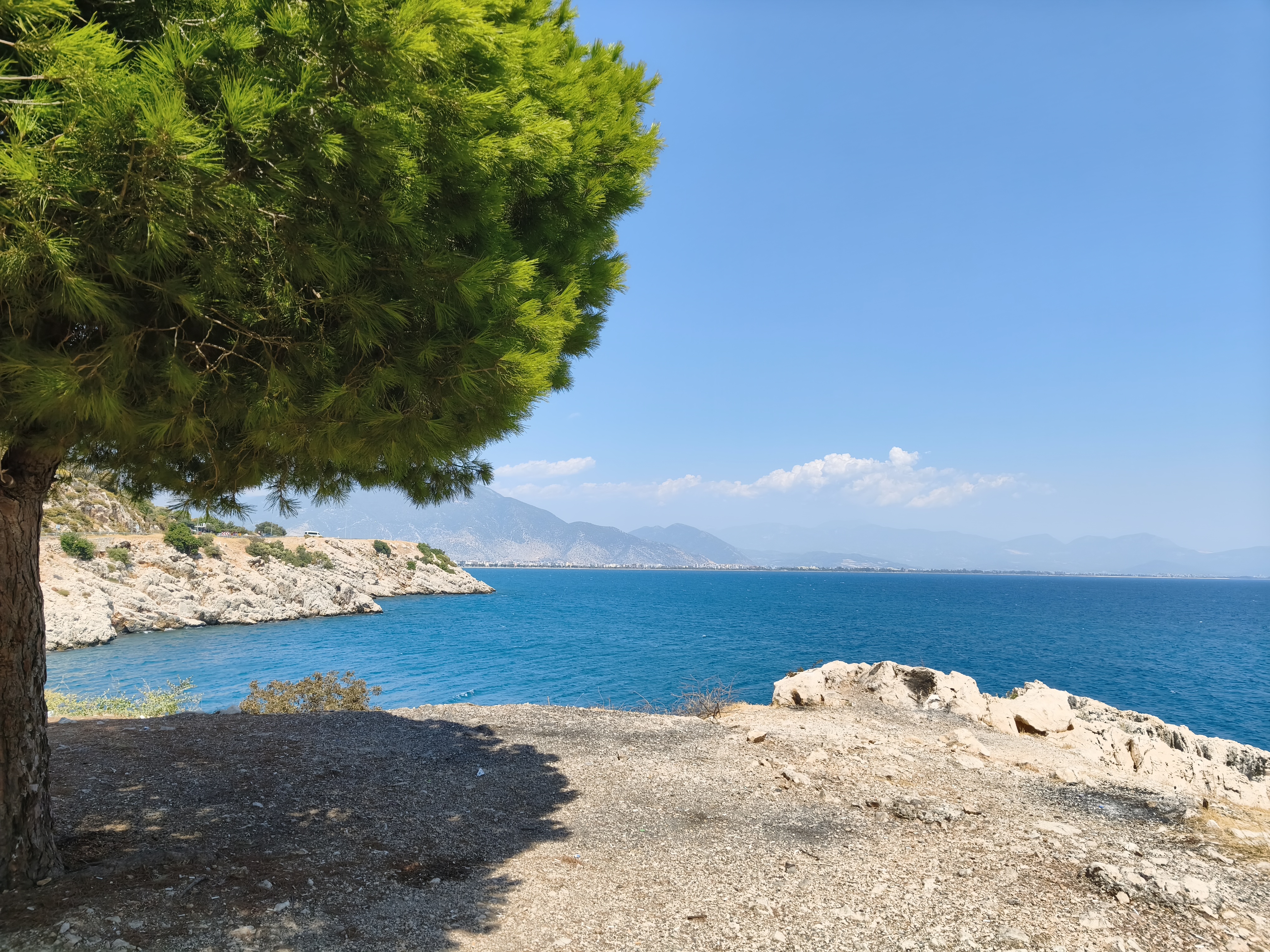
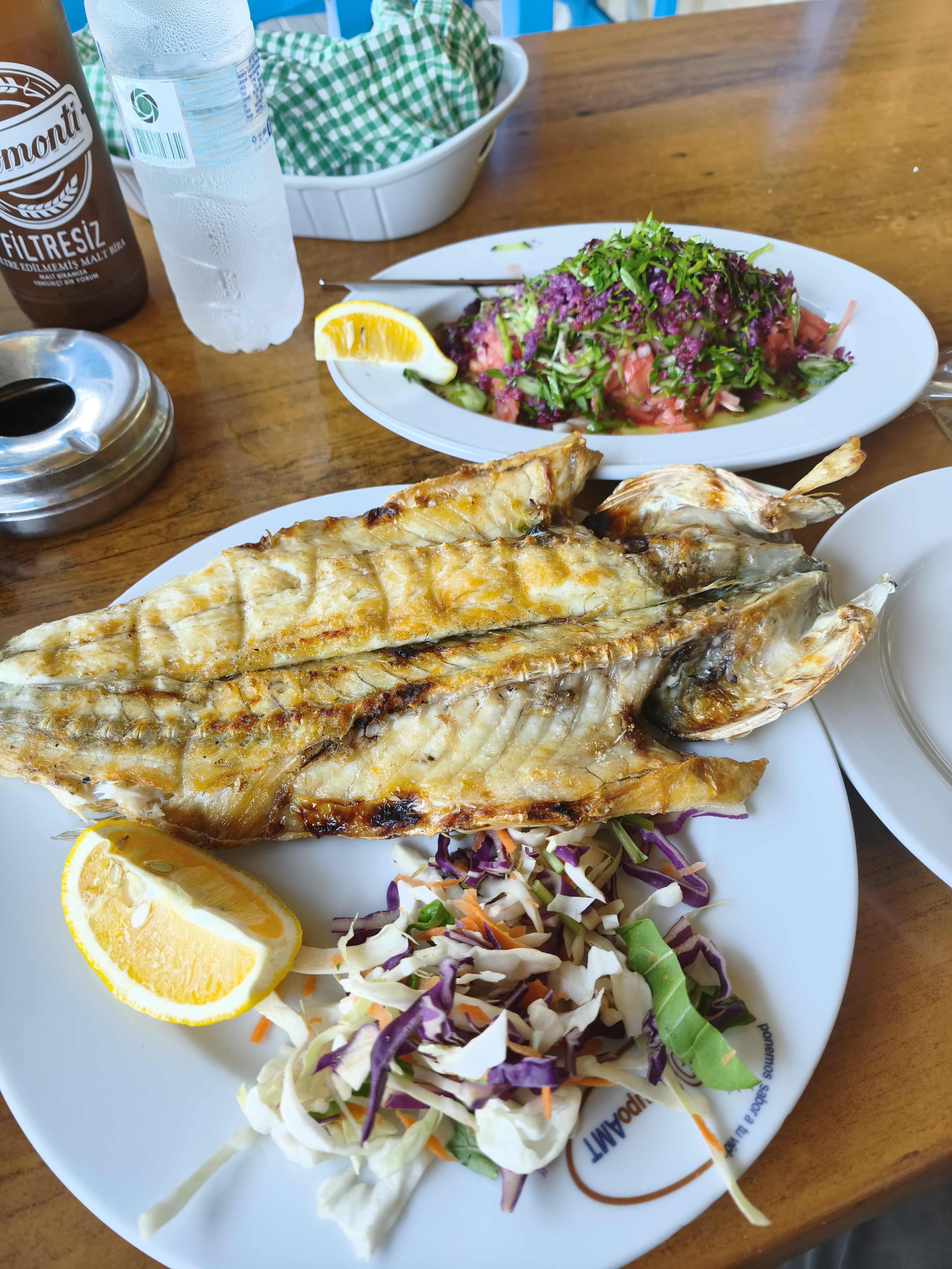
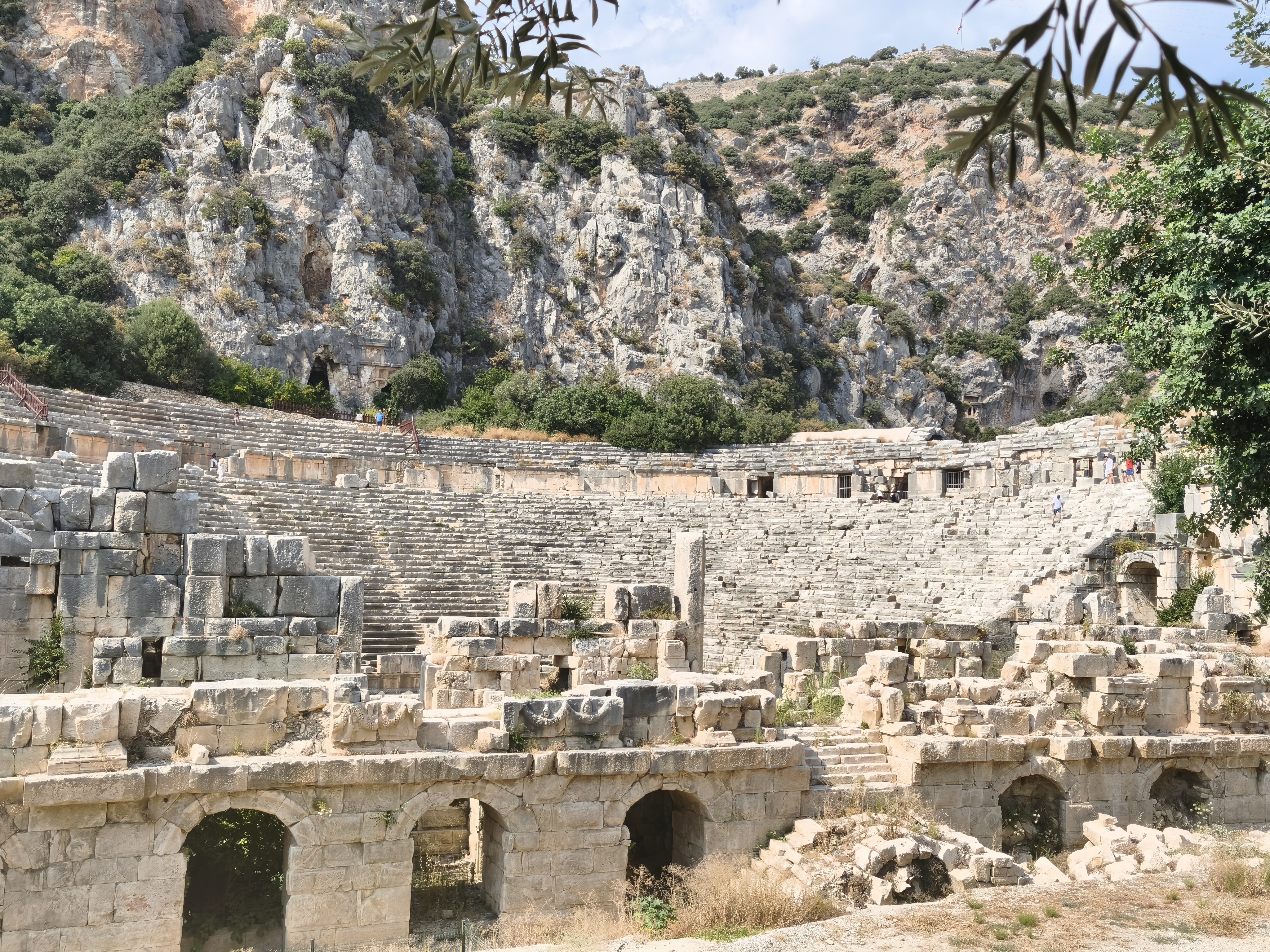
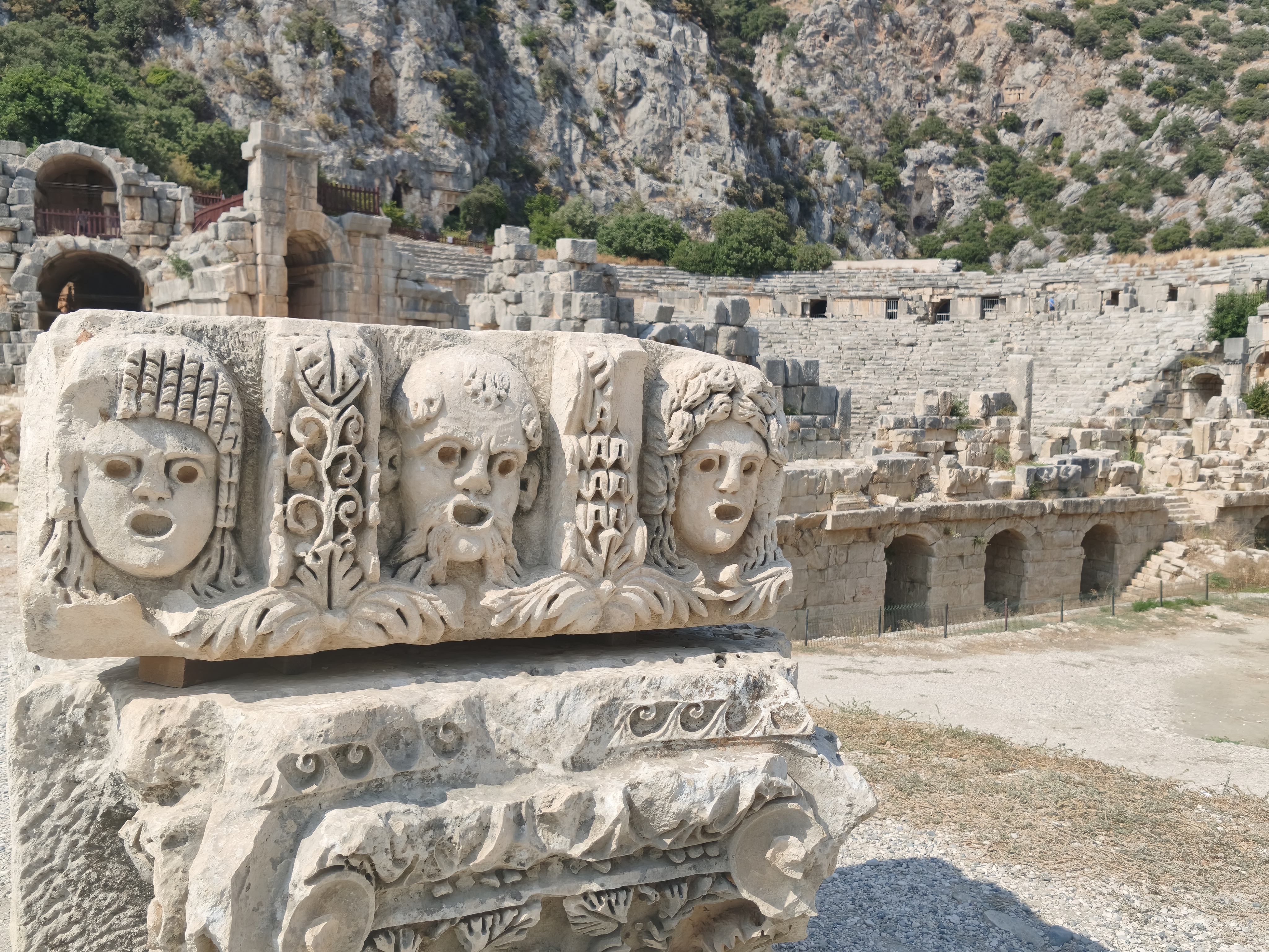
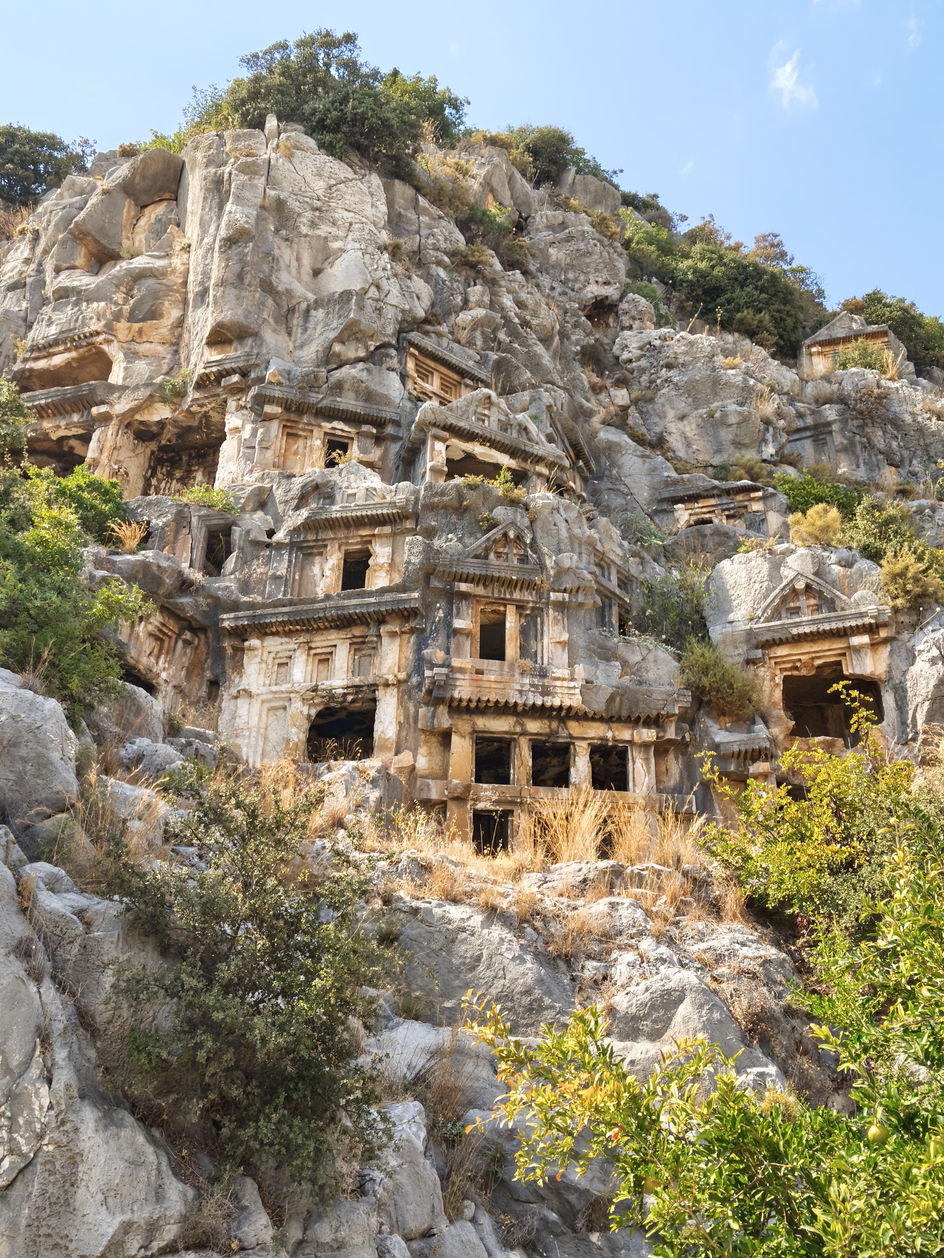
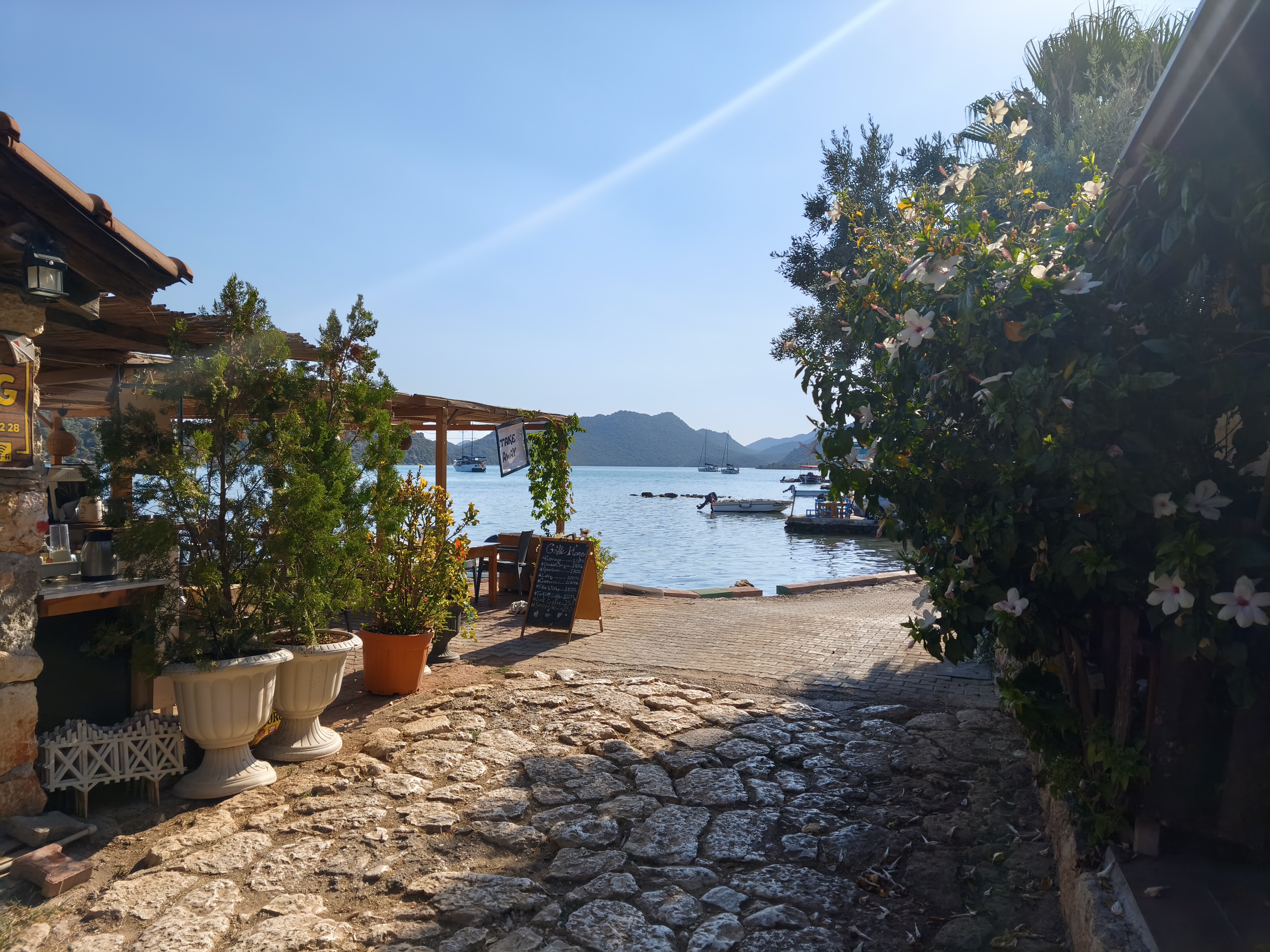
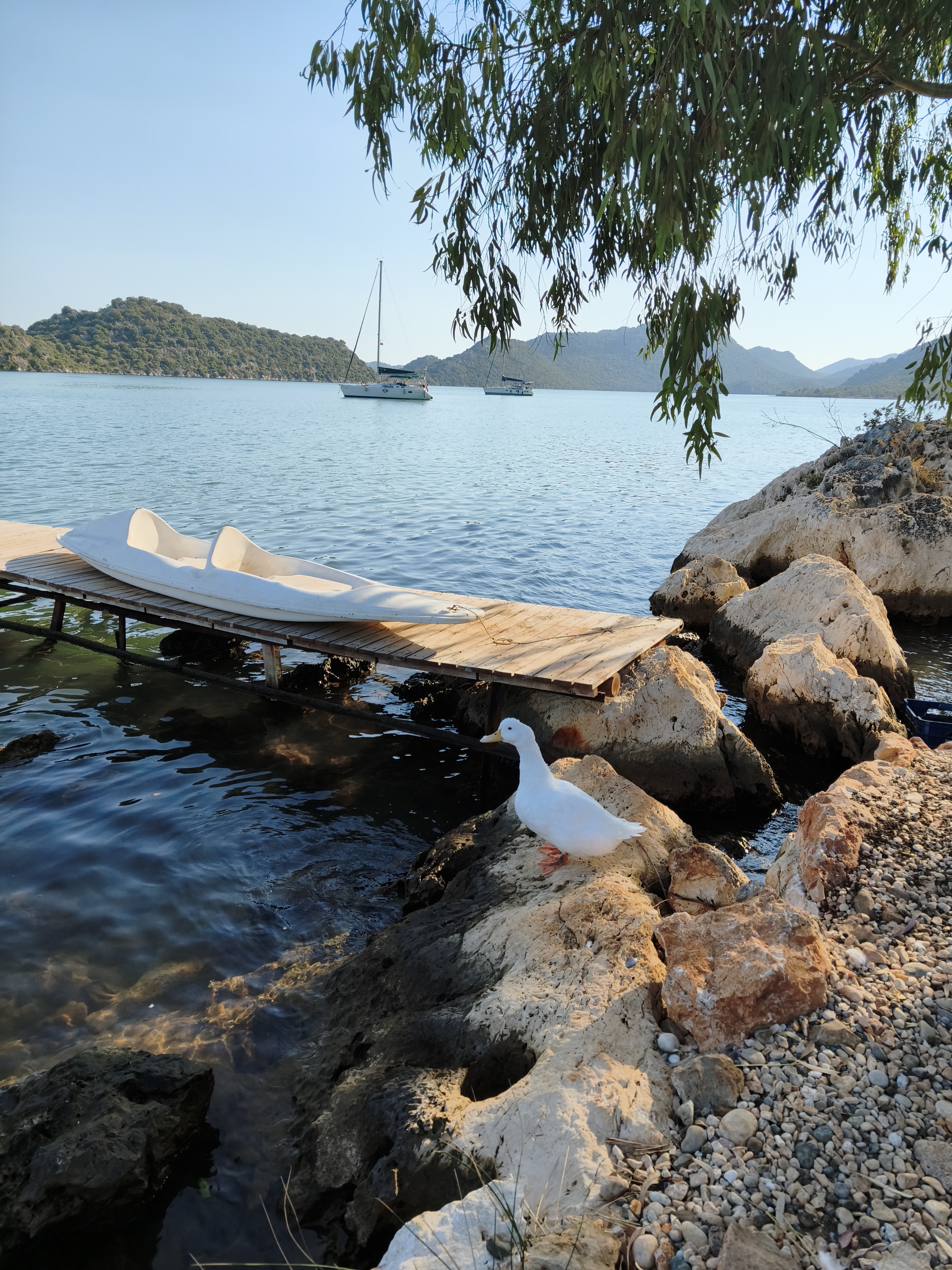
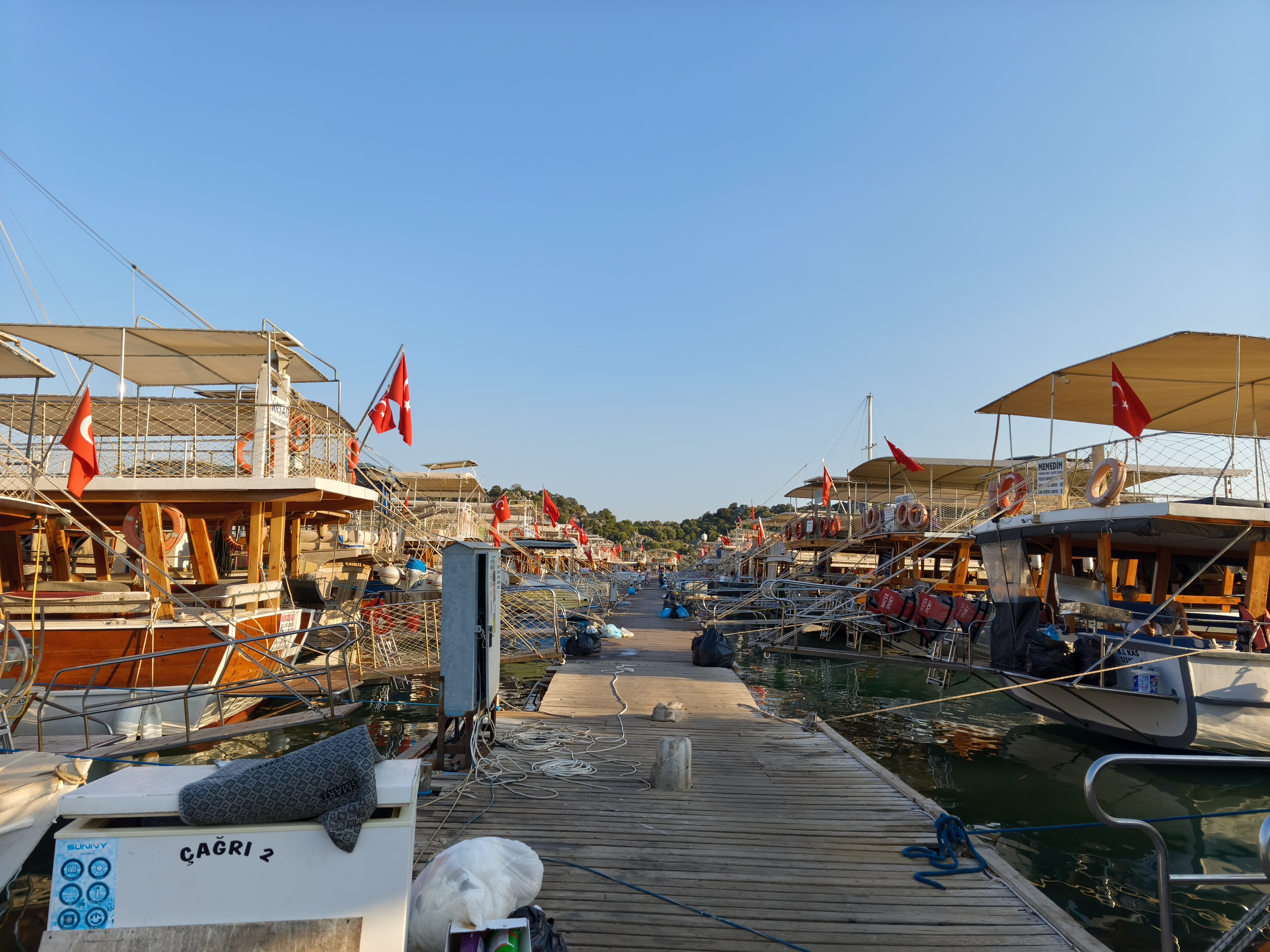
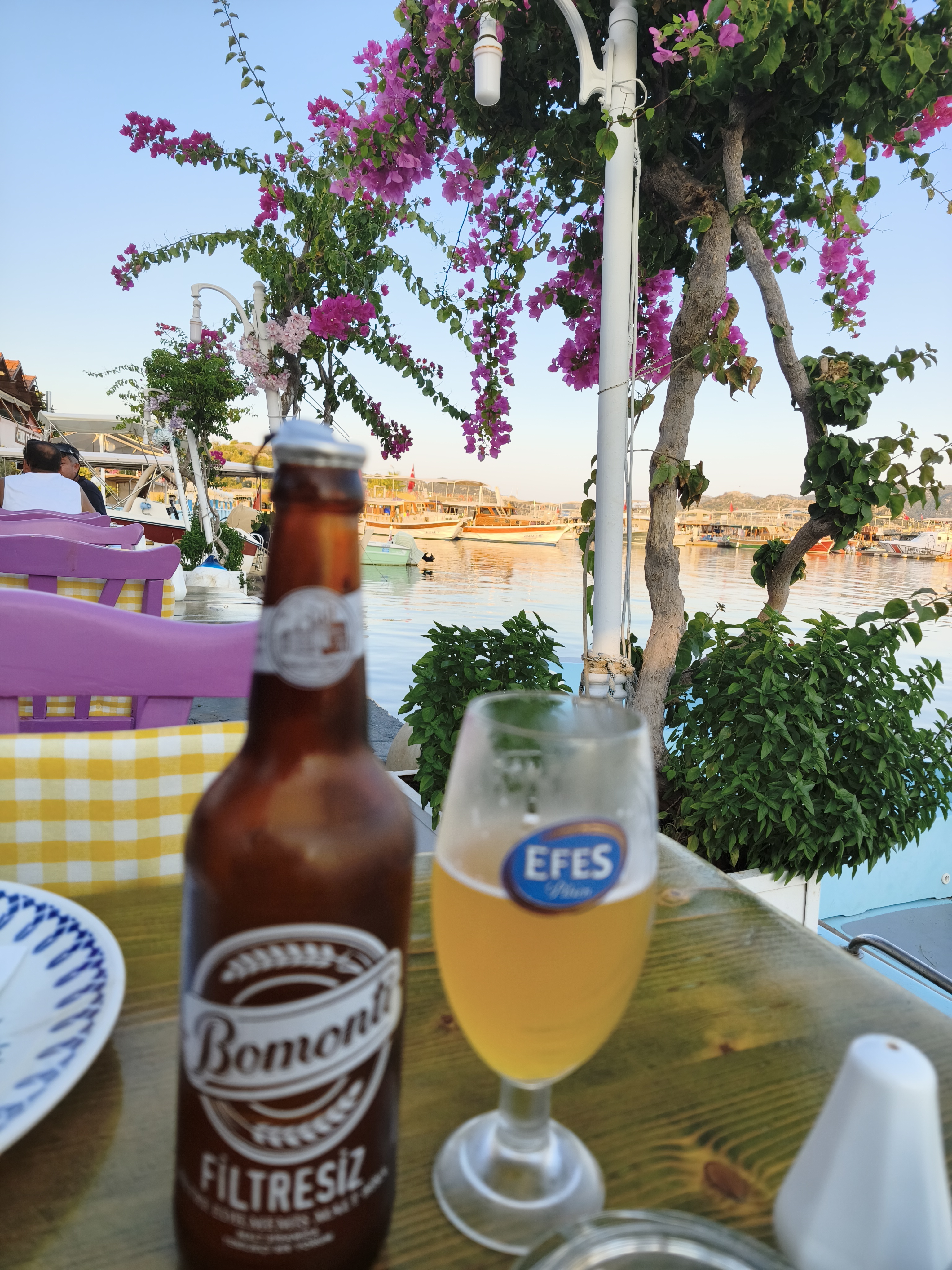
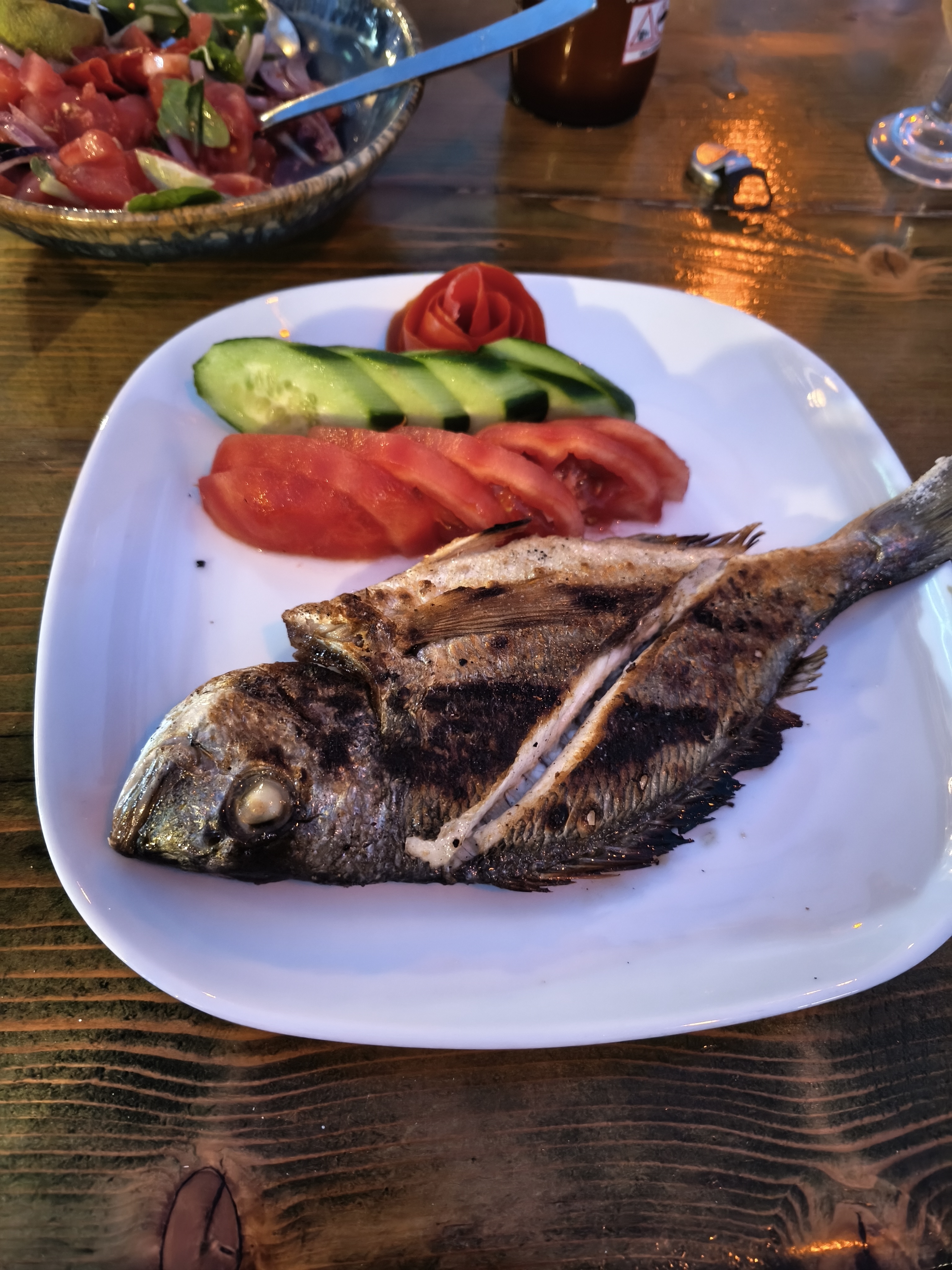
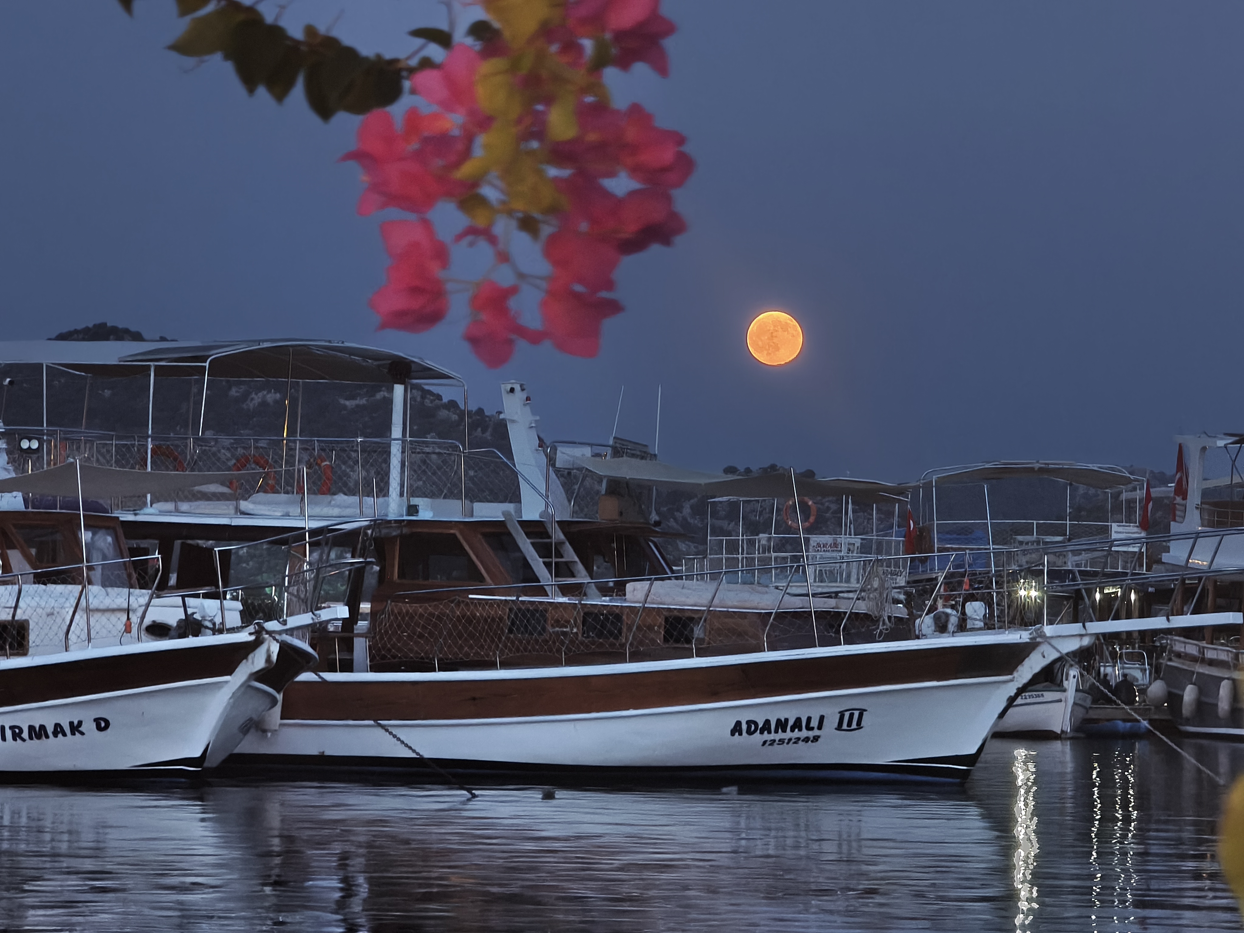
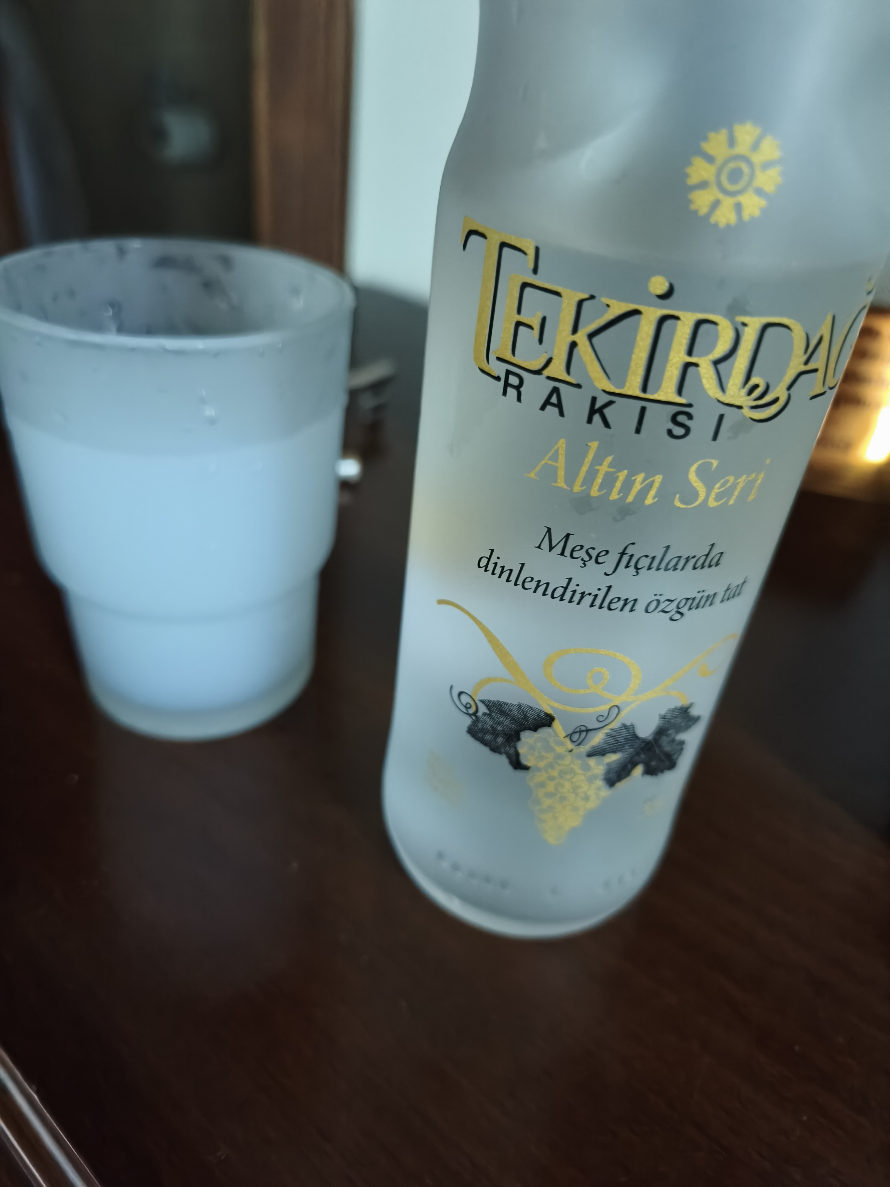
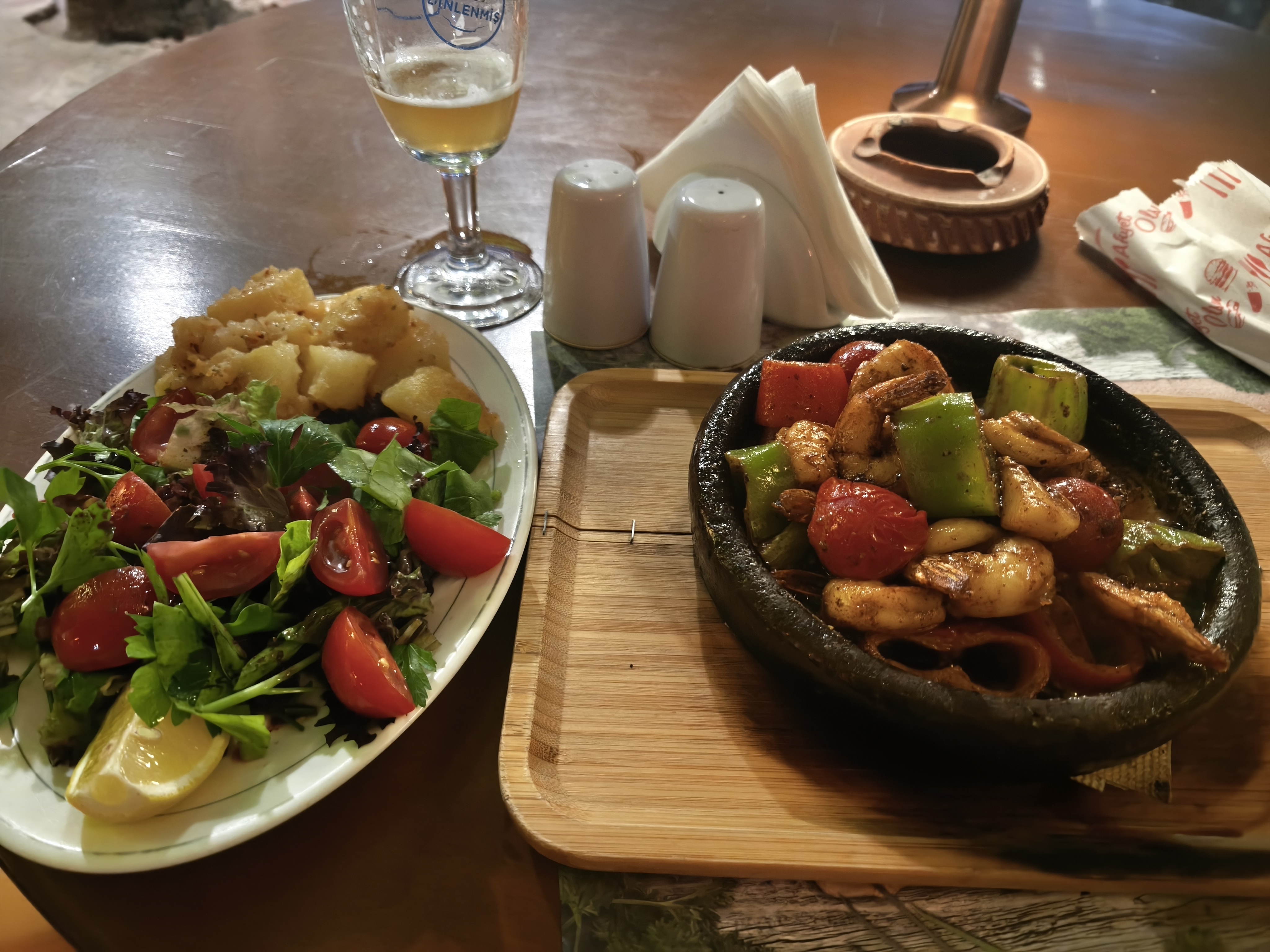
Being the very first visitor at dawn at Sagalassos is a rare privilege. Alone for 1.5 hours in the heart of the Upper Agora and standing before the Antonine Nymphaeum, with water flowing into the basins just as it did 1,800 years ago. A moment of incredible power. Back in the saddle heading south until hitting the Mediterranean. Passing through the ancient city of Myra for its Lycian tombs and theater under a 40°C heat. Arrival in Kaleüçağız, a fishing village in Kekova Bay with no standardized tourism infrastructure—just local villagers happy to share their daily catch and offer small boat rides through coves dotted with strange ancient tombs. A swim in an overly warm sea, grilled fish, and a glass of Rakı to round off the day.
Être le tout premier visiteur à l’aube à Sagalassos est un privilège rare. Seul pendant 1h30 au cœur de l’Agora supérieure et face au Nymphée des Antonins, avec l’eau qui coule dans les bassins comme il y a 1 800 ans. Un moment d’une puissance incroyable. Retour en selle direction le sud jusqu’à butter sur la Méditerranée. Passage par l’ancienne cité de Myra pour ses tombeaux lyciens et son théâtre sous 40°C. Arrivée à Kaleüçağız, village de pêcheurs dans la baie de Kekova, sans aucune infrastructure de tourisme standardisée, mais juste des villageois heureux de vous faire bénéficier de leur pêche et de petites balades en bateaux dans des criques parsemées d’étranges tombeaux. Baignade dans une mer trop chaude, poisson grillé et verre de Rakı pour conclure la journée.
Day #26: Kekova – Dalyan. Distance: 295 km (240 km Road / 55 km Off-road track)
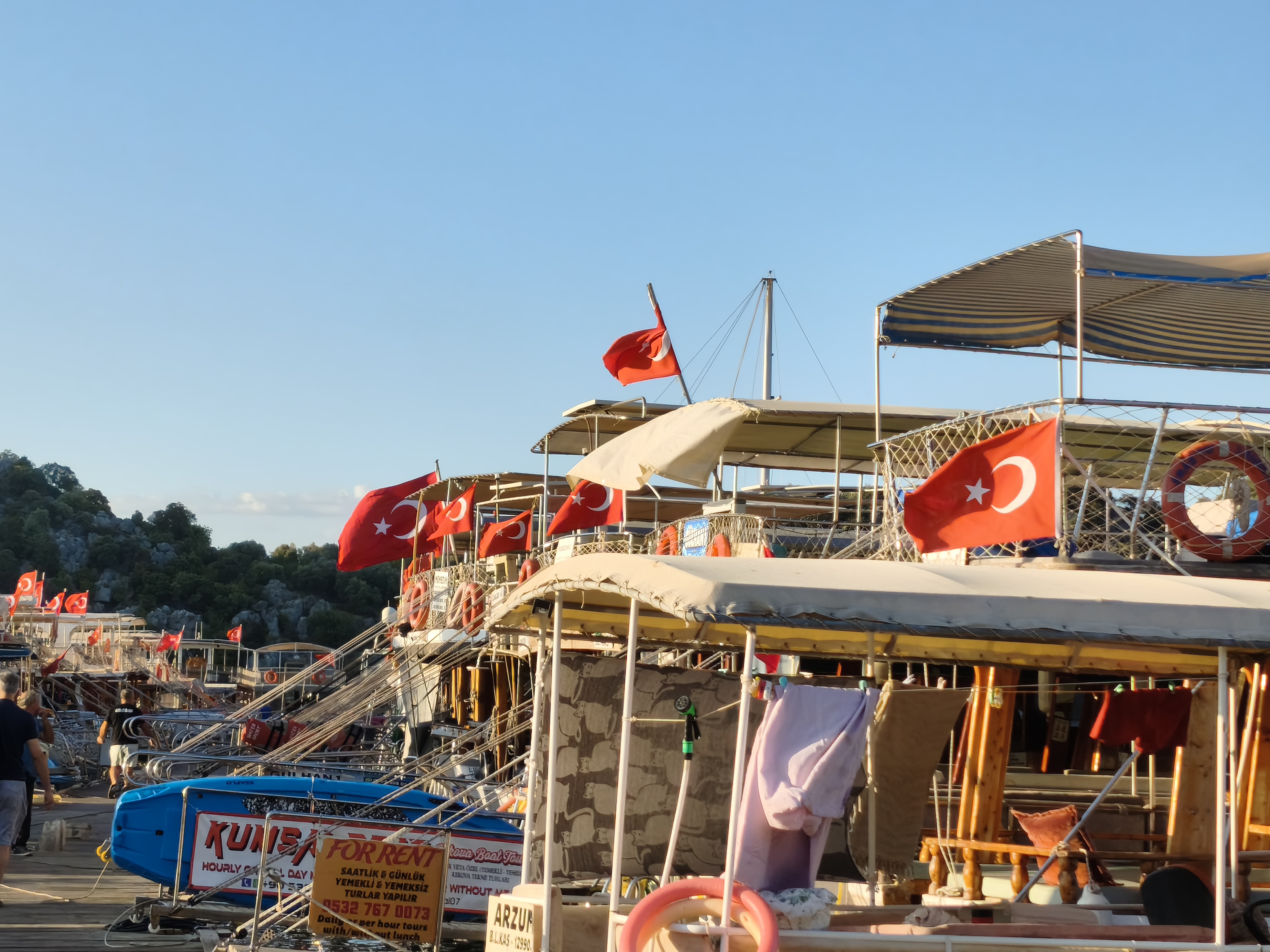
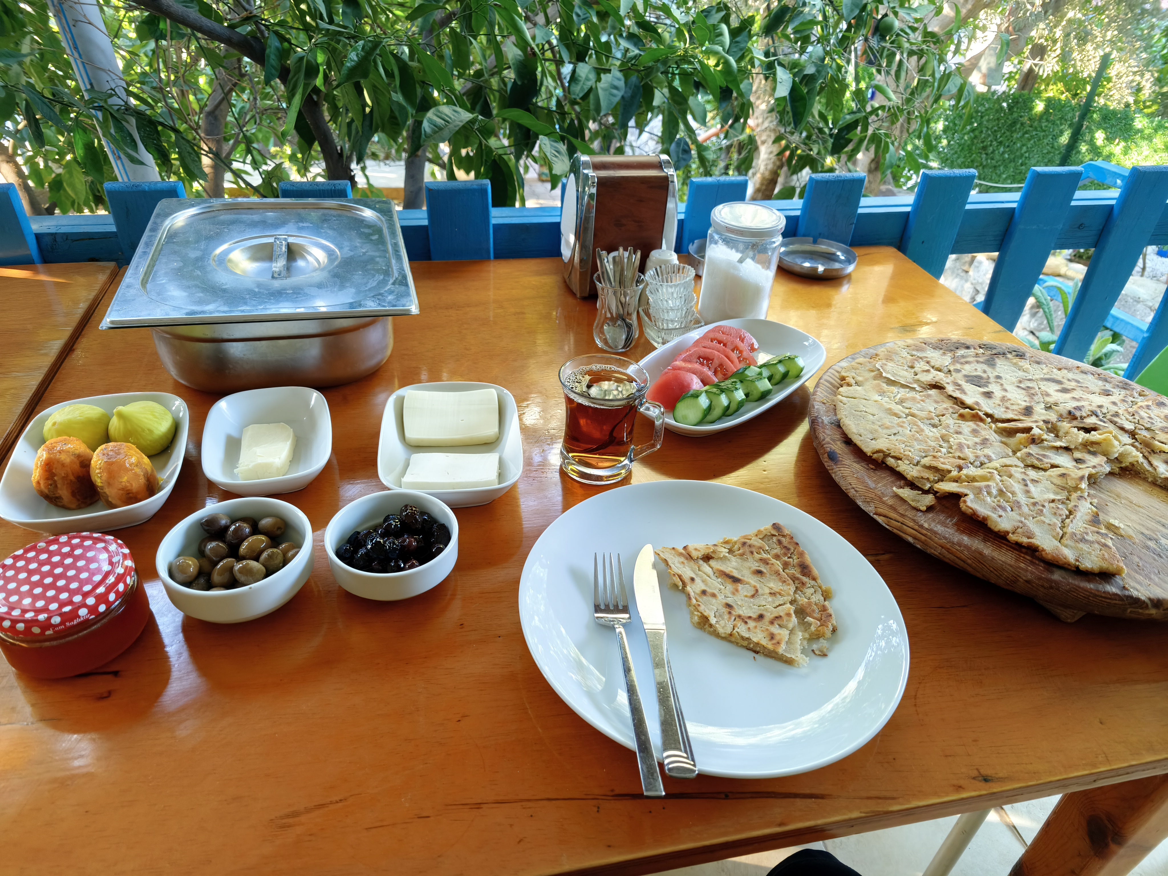
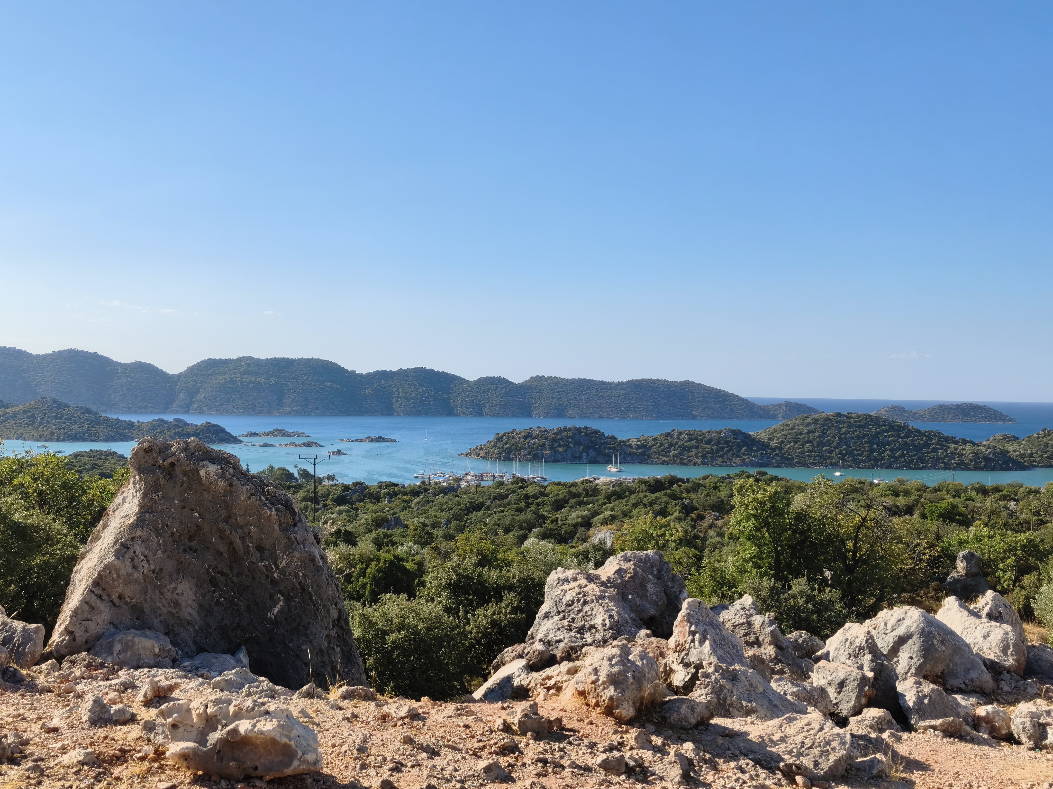
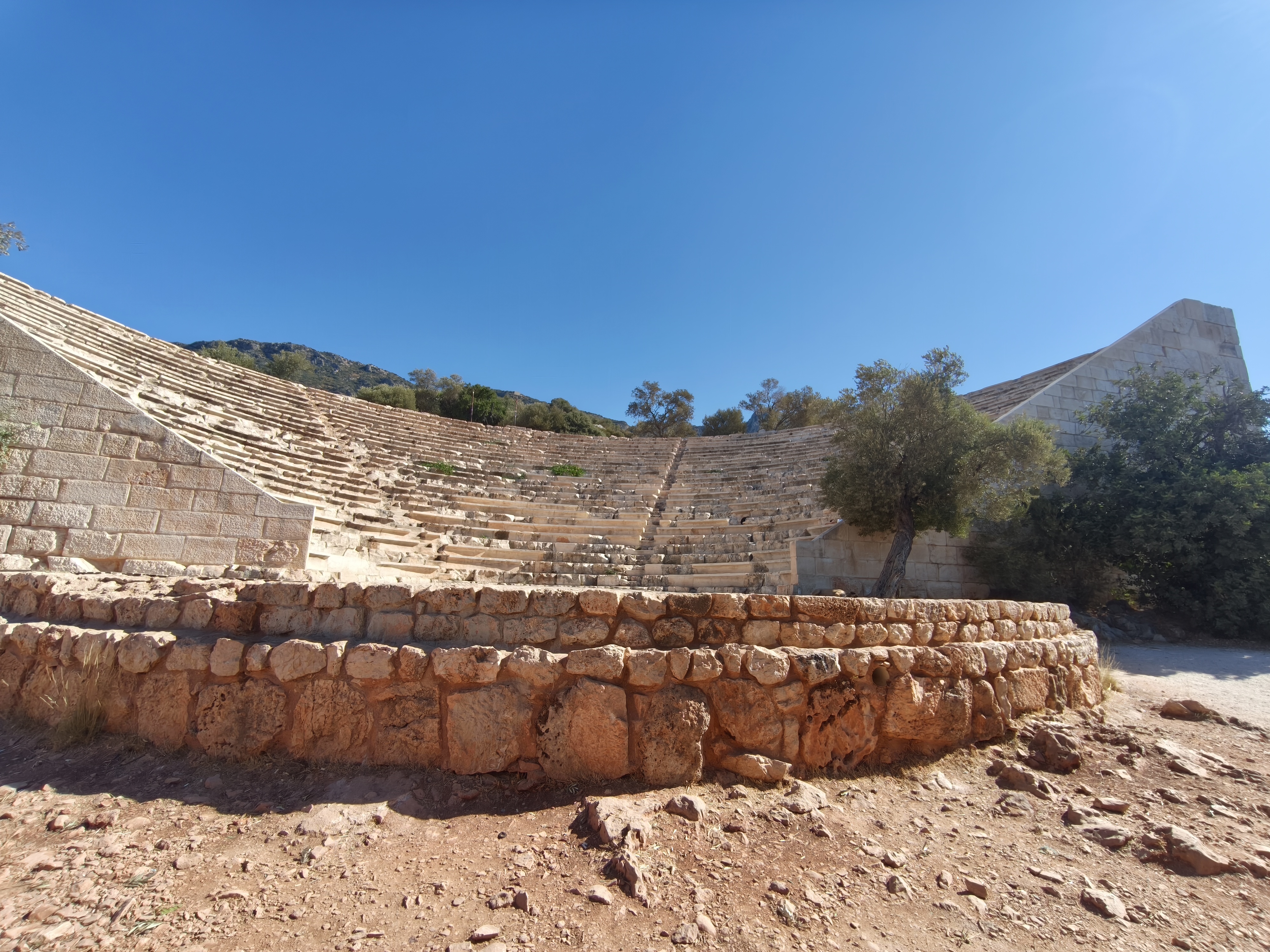
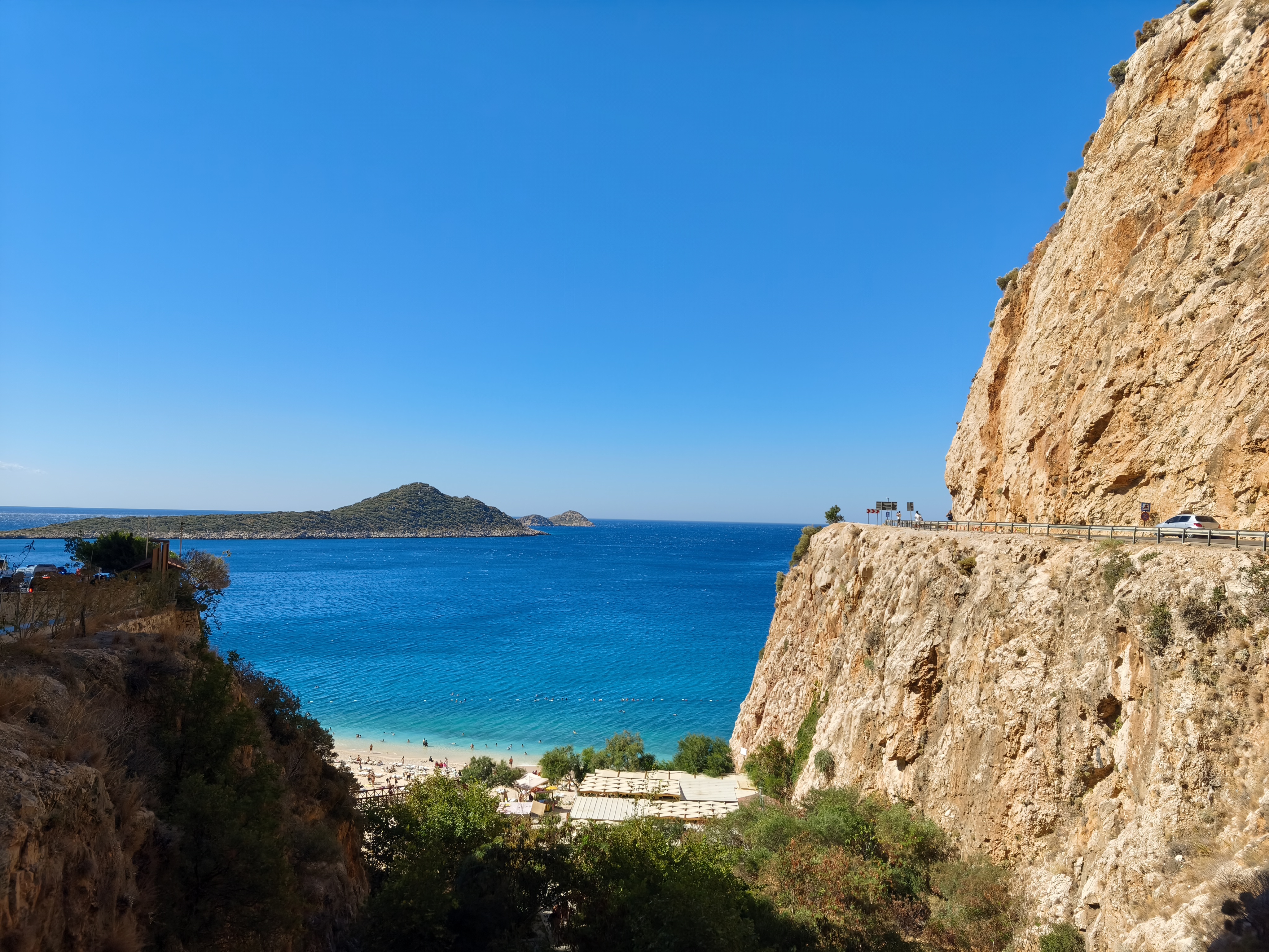
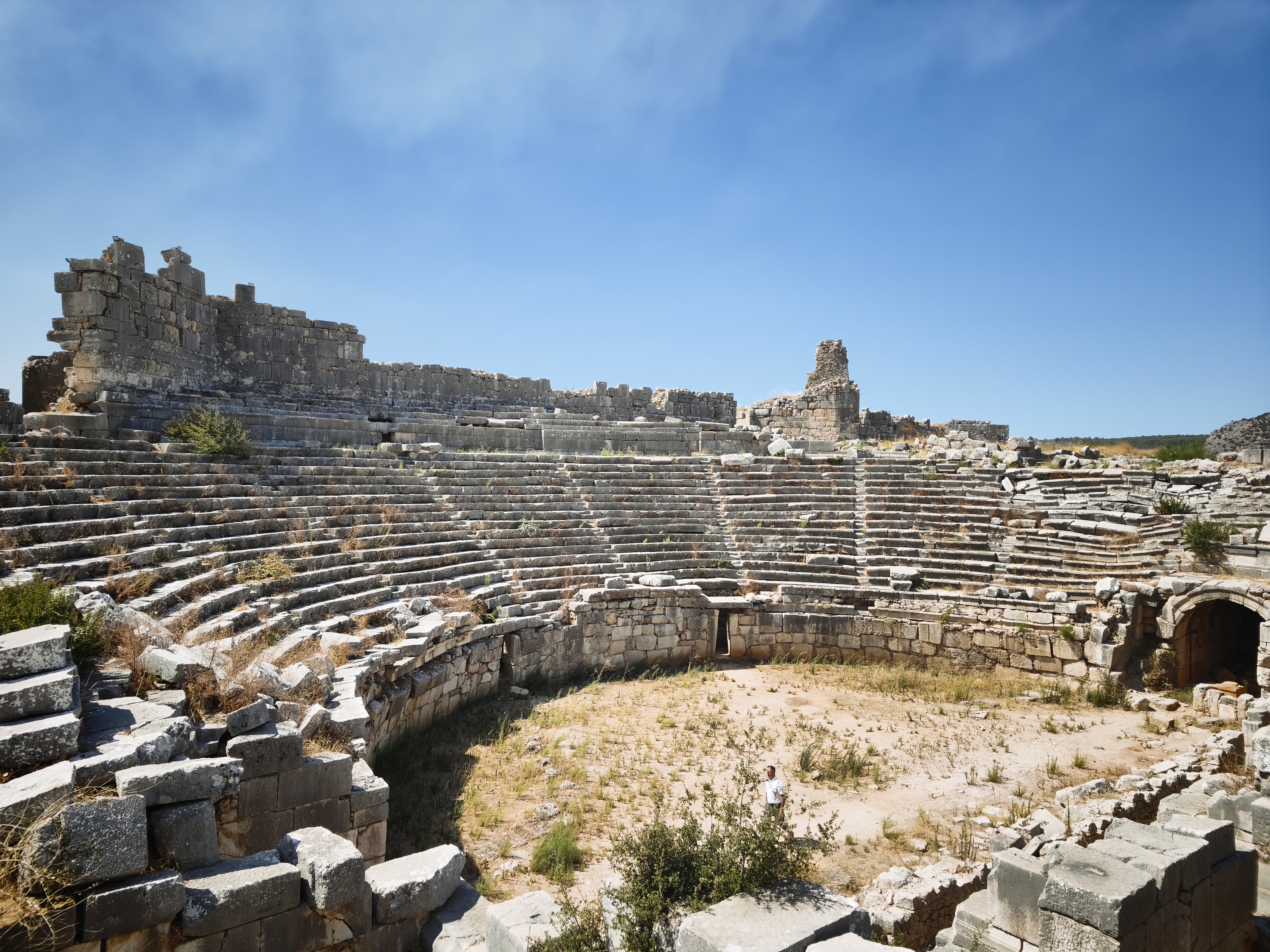
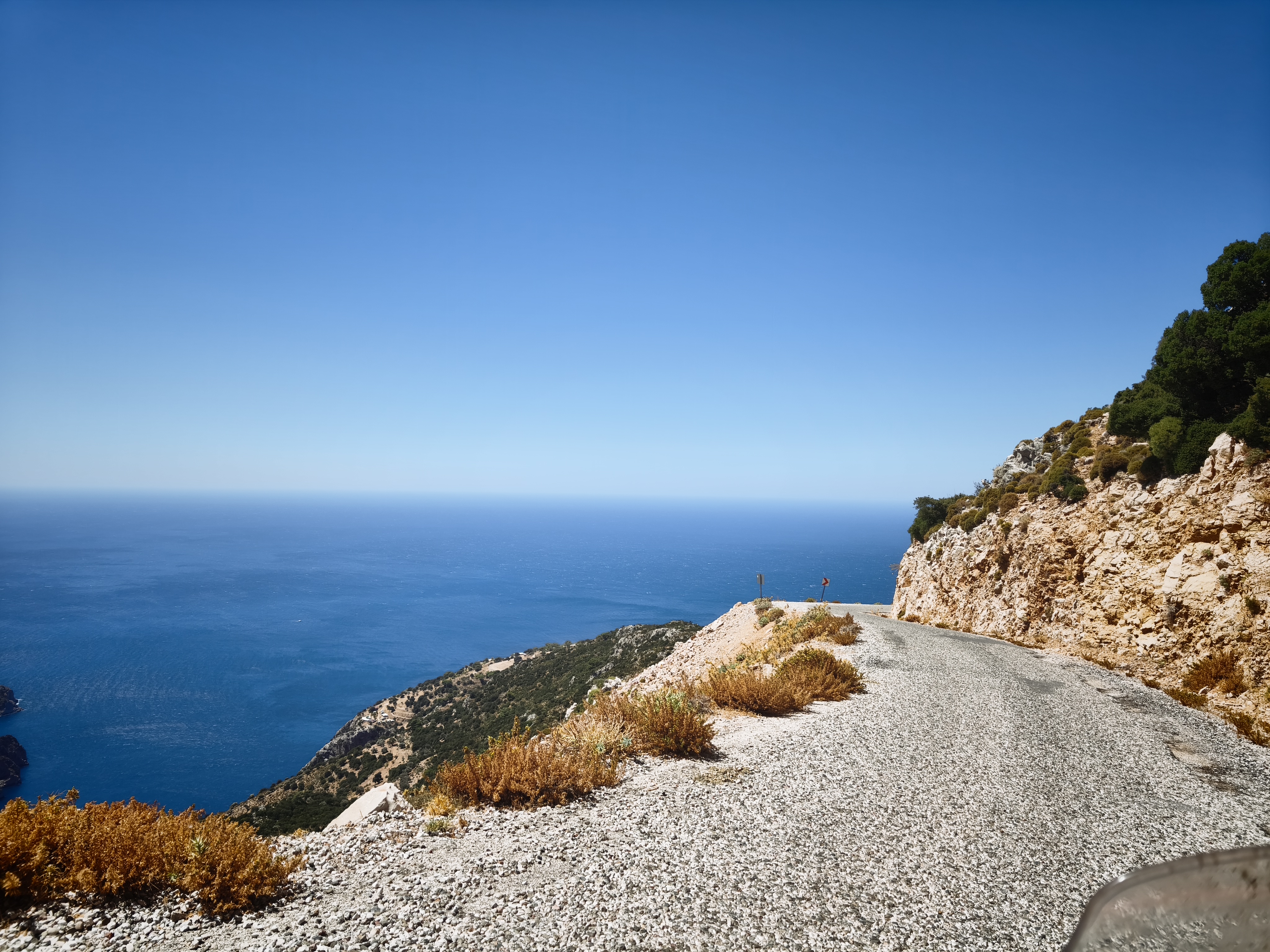
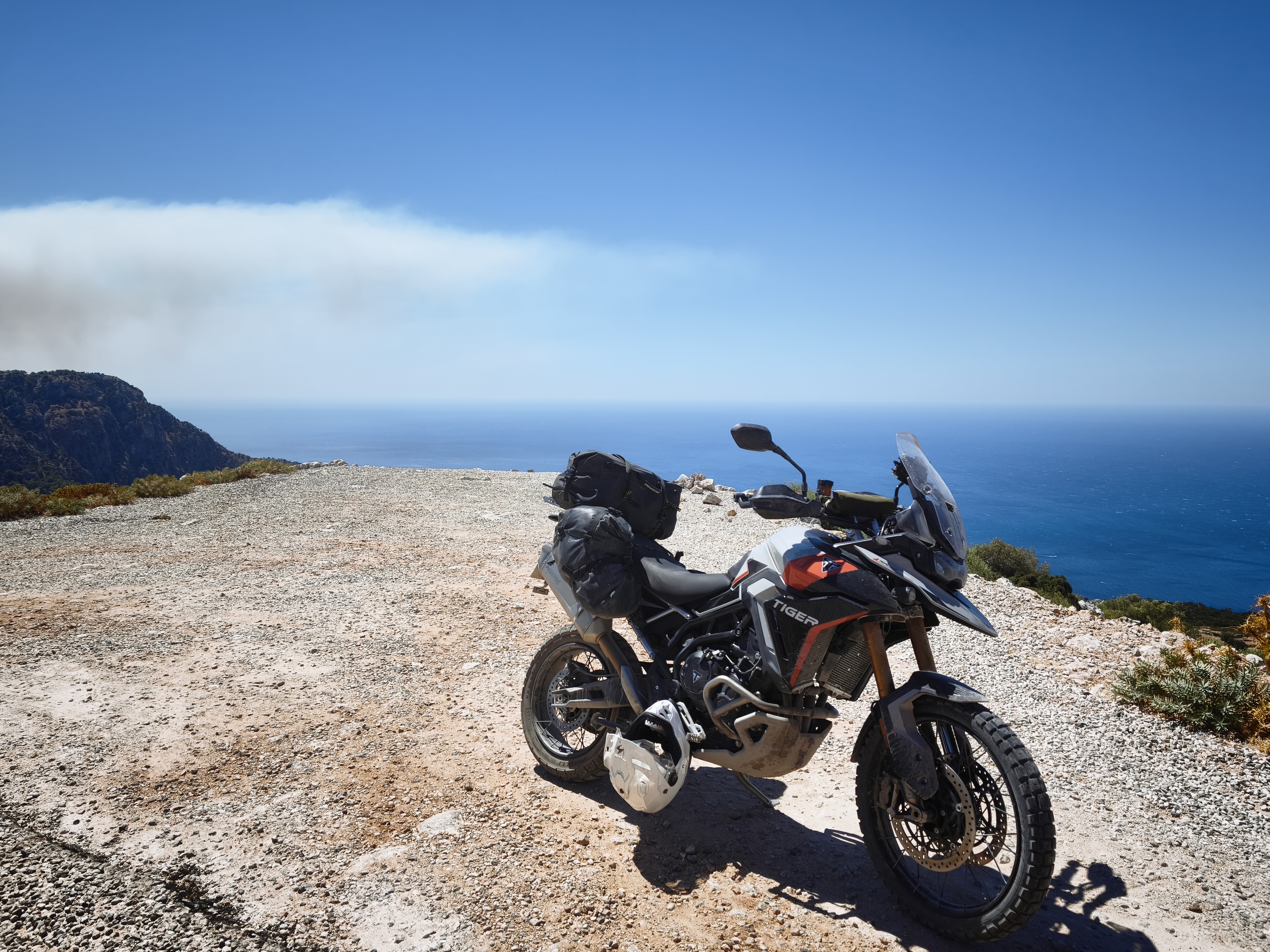
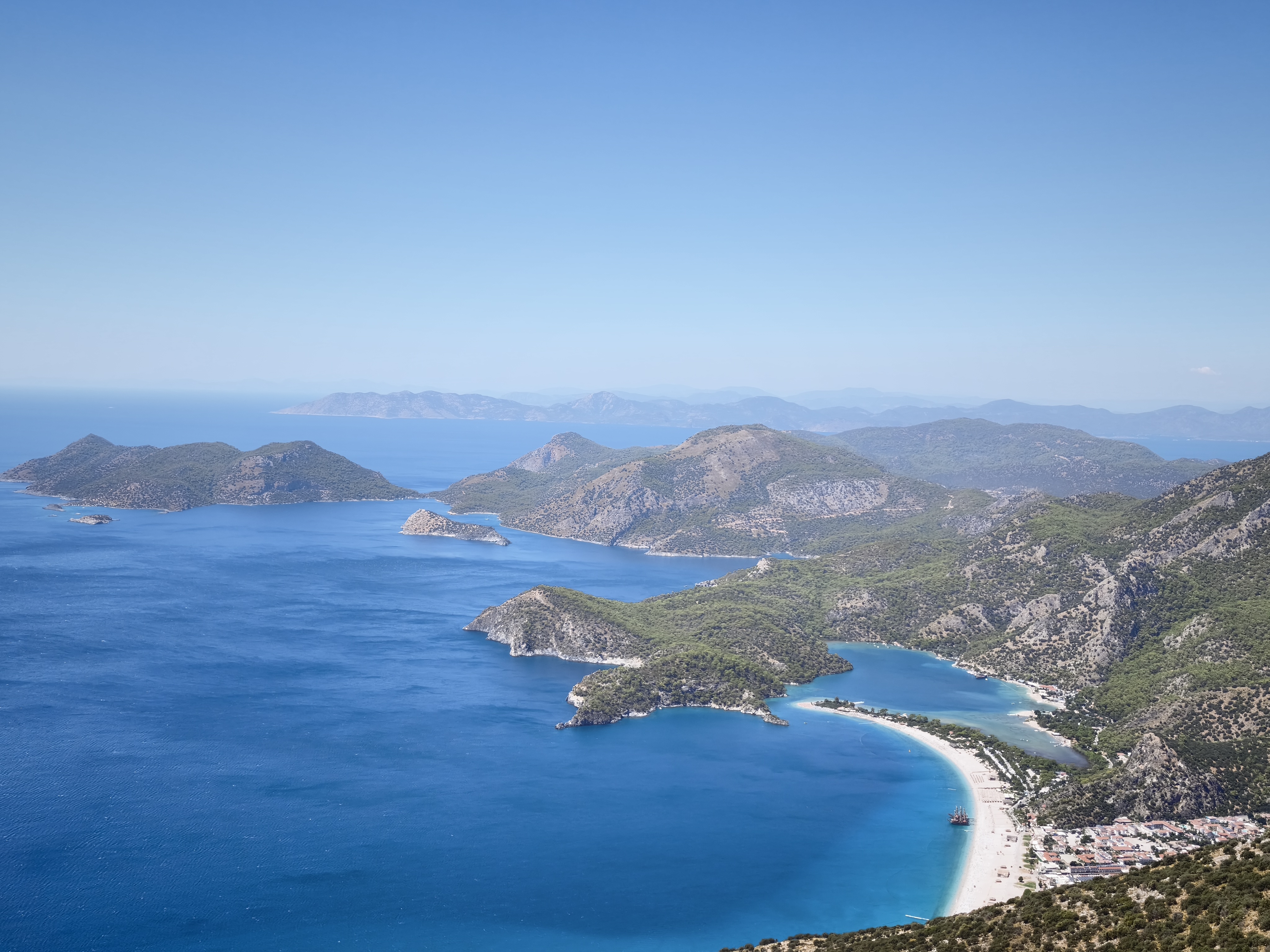
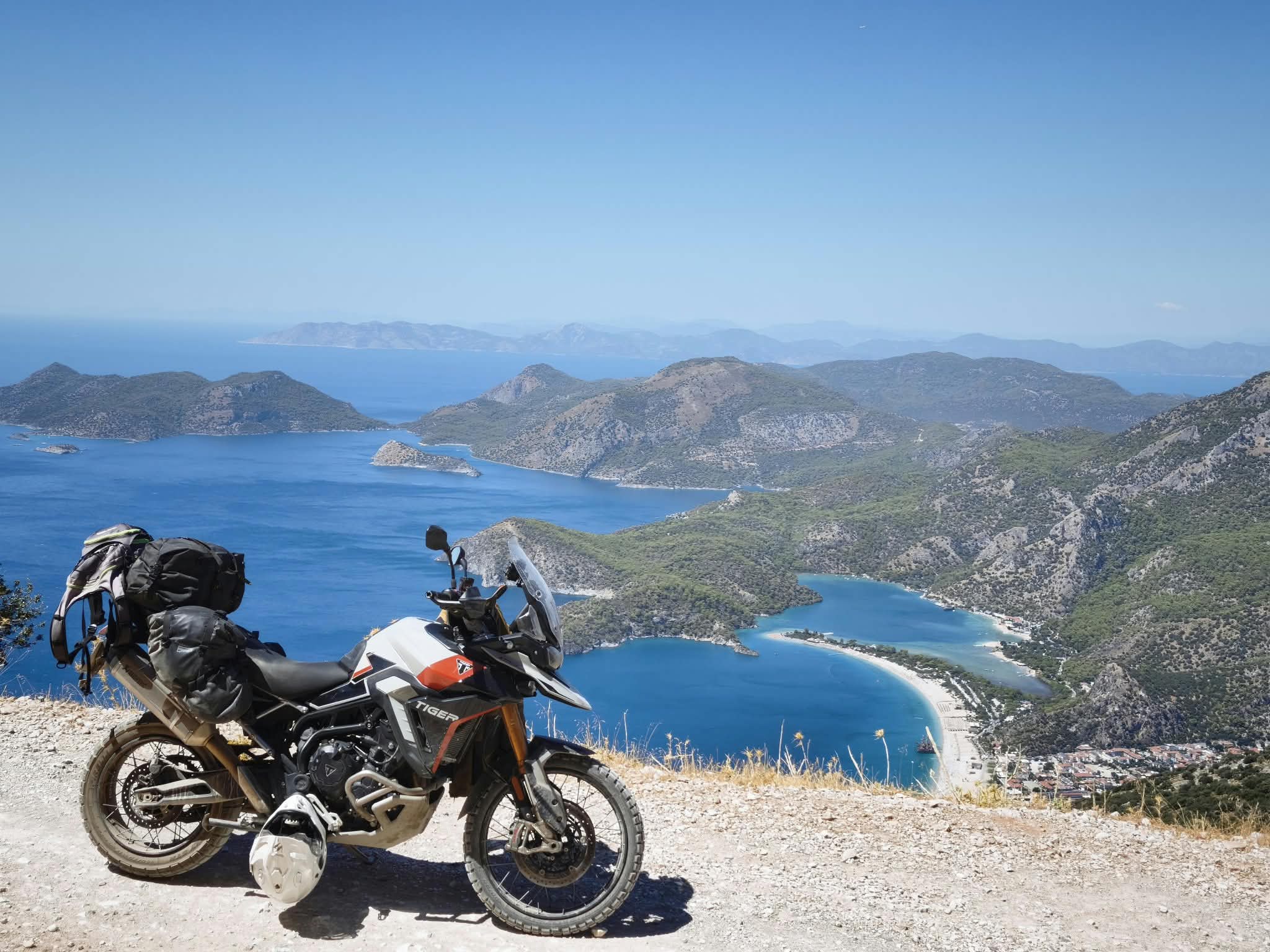
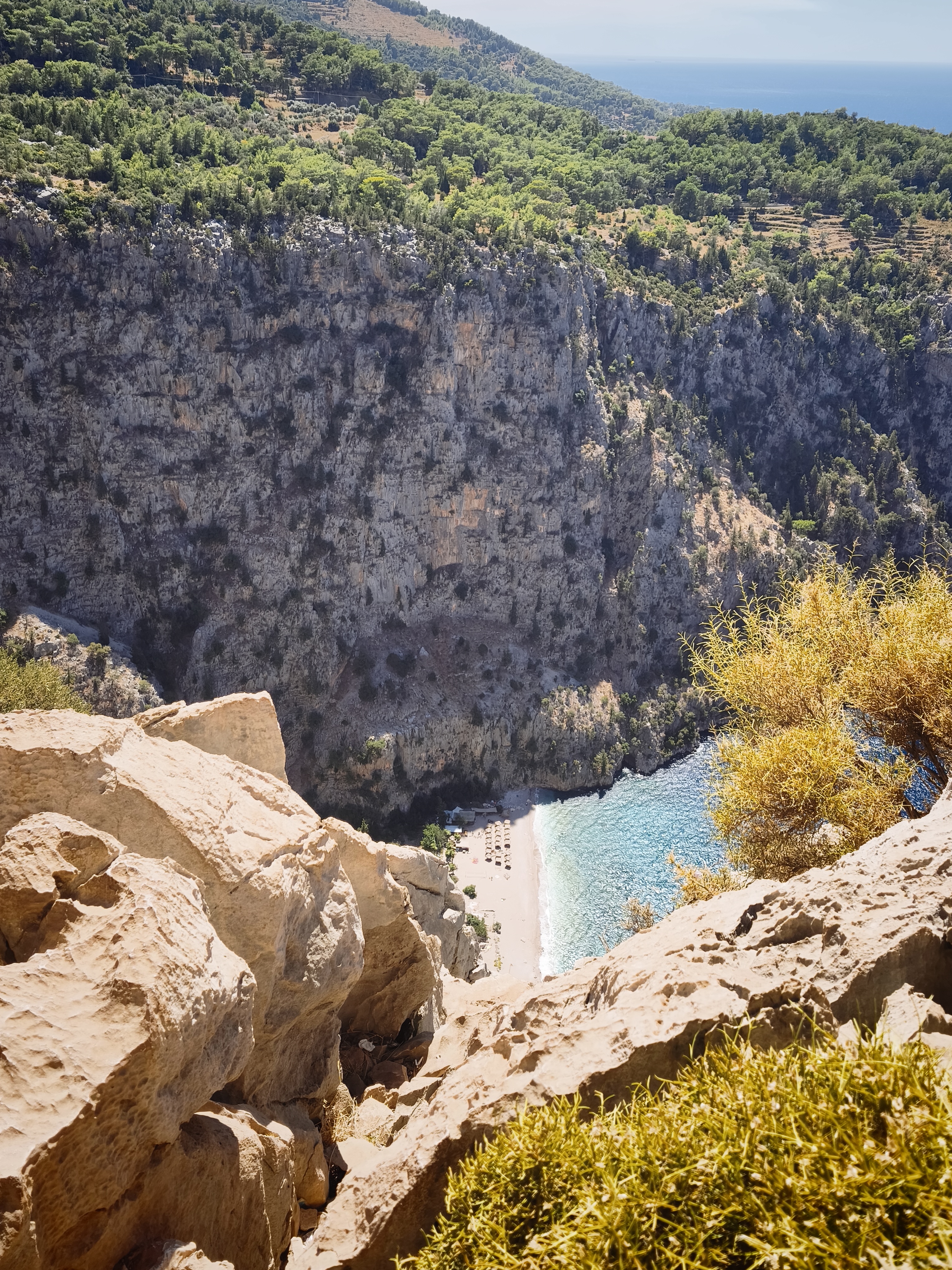
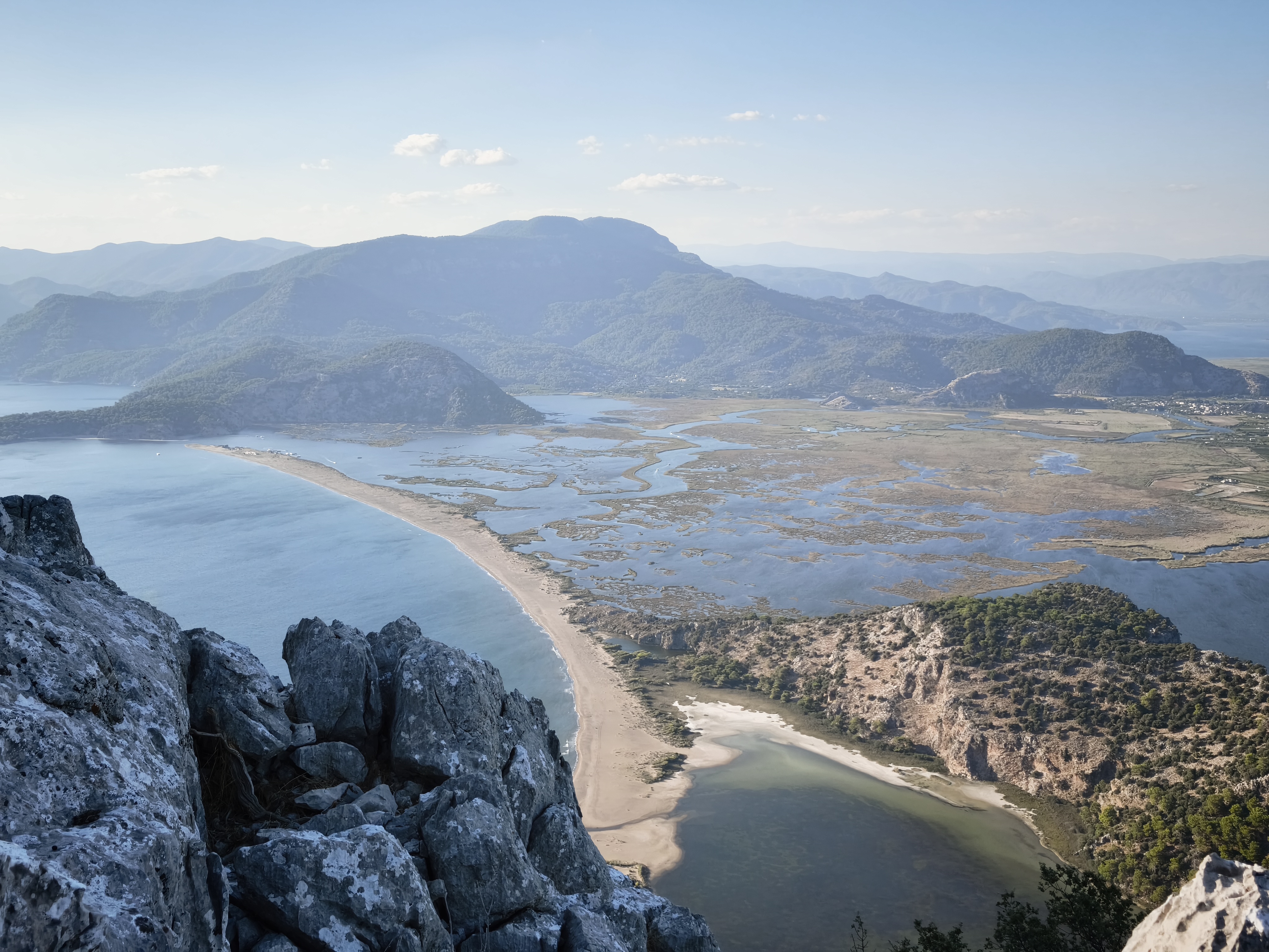
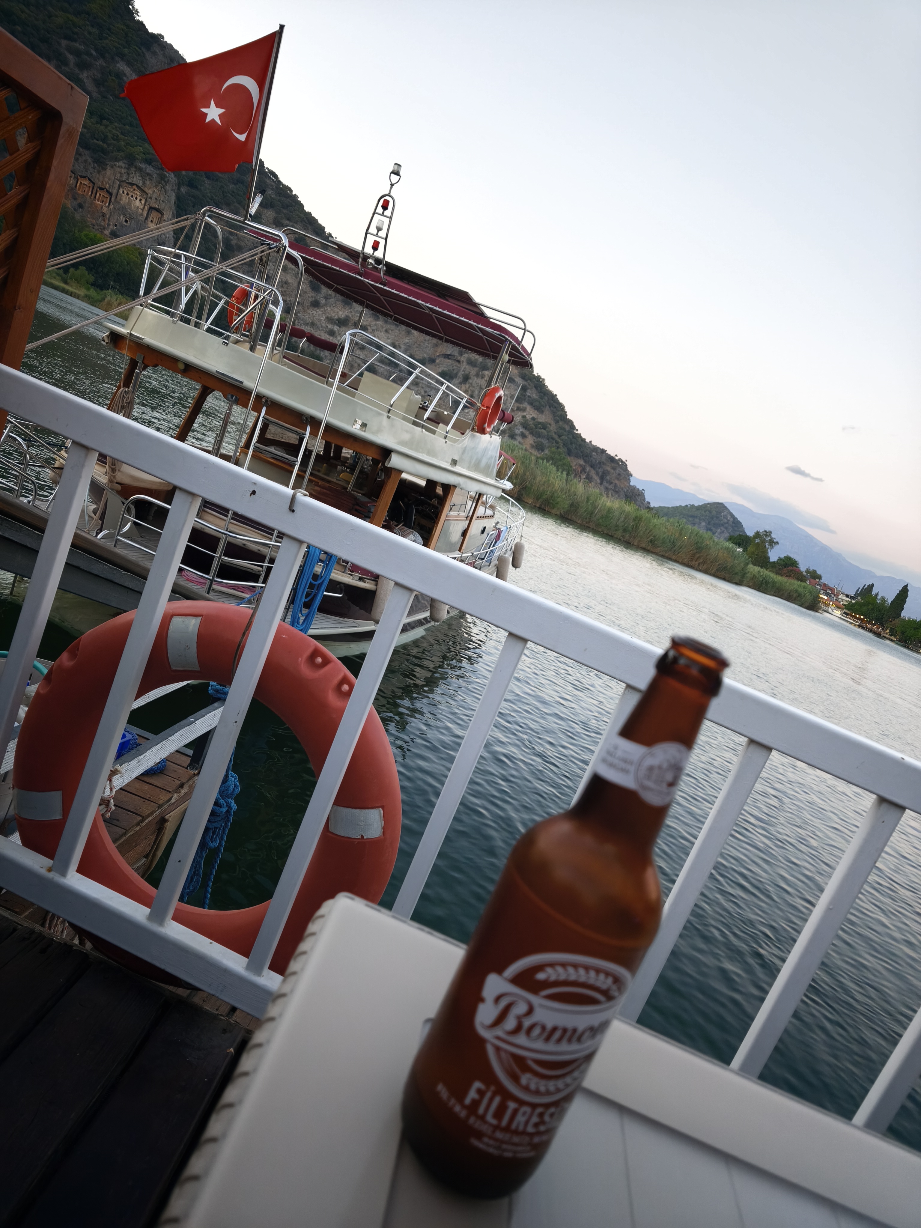
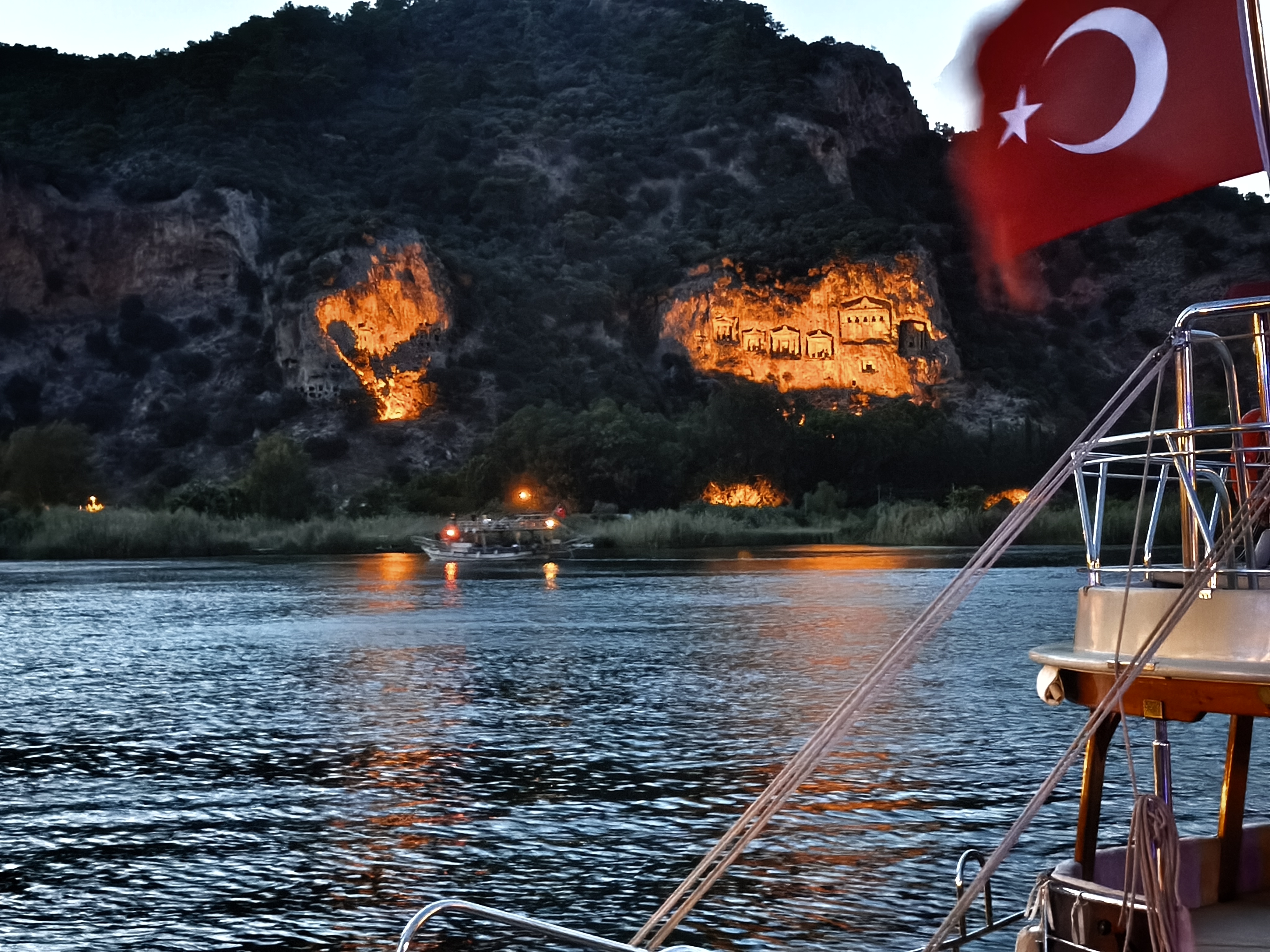
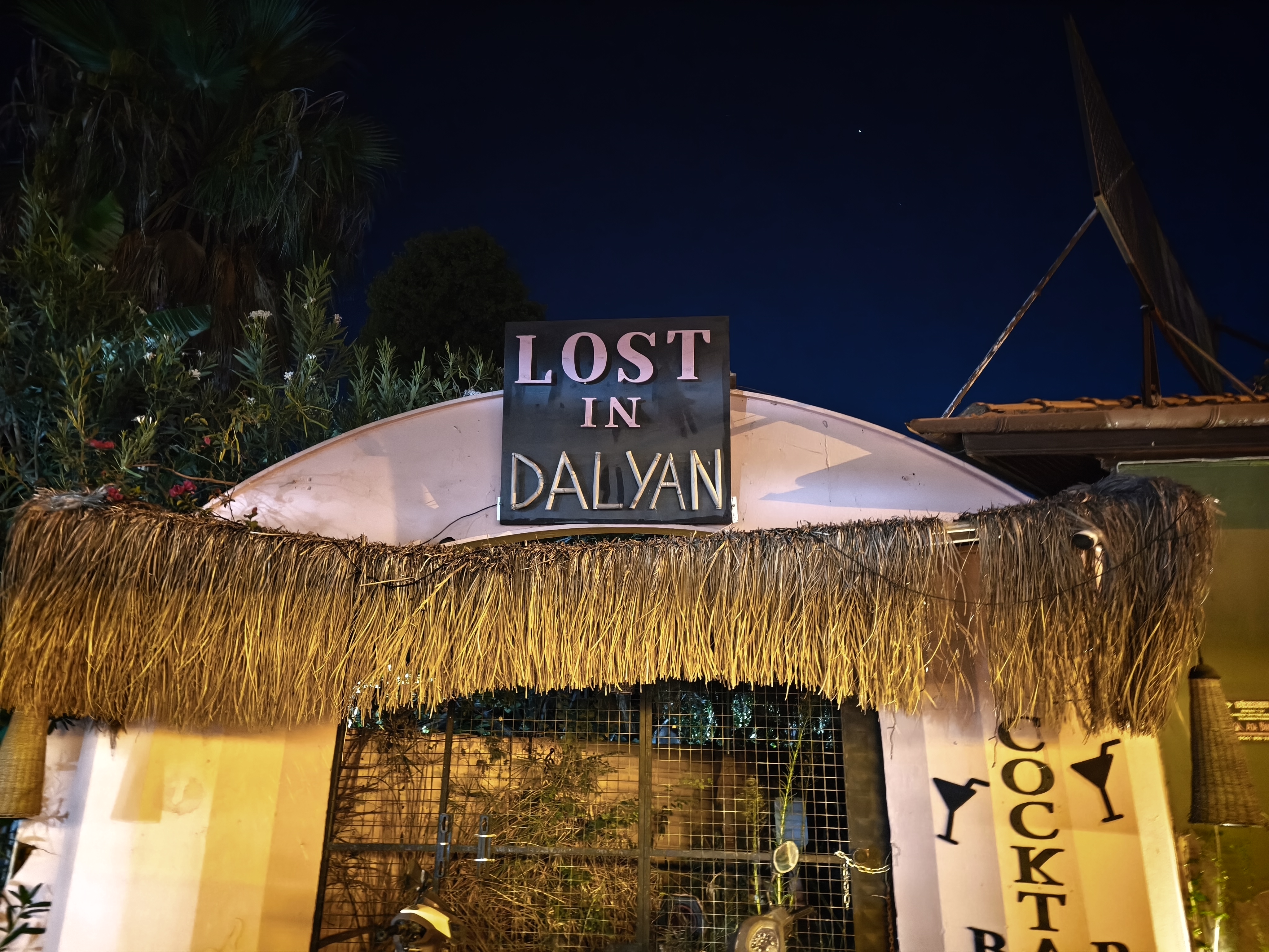
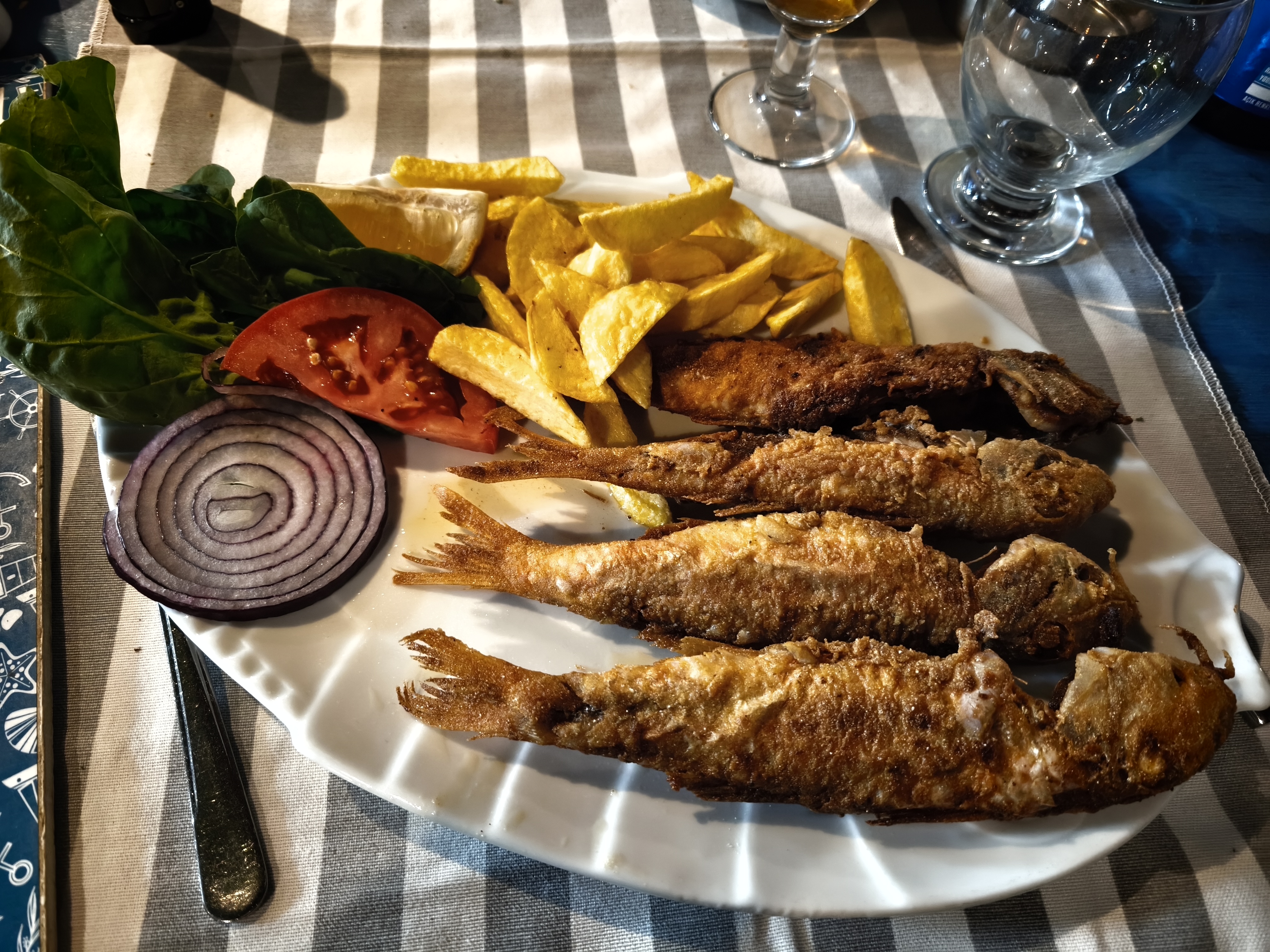
Cliffside roads, technical trails, and coastal panoramas: the Lycian Coast in all its glory! Passing by Kaputaş and Patara beaches, Butterfly Valley, and the ghost village of Kayaköy (abandoned during the 1923 population exchanges). The star of the show: a very challenging, rocky climb to a viewpoint overlooking İztuzu Beach and the entire Dalyan Delta with its winding reed beds. A demanding track for both machine and rider in this heat, but an unforgettable visual reward. Night at a local homestay by the water facing Lycian tombs, followed by a feast on the day’s fresh catch. A bit of extreme off-roading always works up an appetite.
Routes en corniche, pistes techniques et panoramas côtiers : la côte lycienne dans toute sa splendeur ! Passage par les plages de Kaputaş et Patara, la vallée des Papillons et le village fantôme de Kayaköy (abandonné lors des échanges de populations en 1923). Le clou du spectacle : une grimpette rocailleuse très engagée jusqu’à un point de vue dominant la plage d’İztuzu et tout le delta de Dalyan avec ses méandres de roseaux. Une piste éprouvante pour la machine comme pour le pilote sous cette chaleur, mais une récompense visuelle inoubliable. Nuit chez l’habitant au bord de l’eau face aux tombeaux lyciens, et razzia sur la pêche du jour. Le off-road un peu extrême, cela met toujours en appétit.
Day #27: Dalyan – Pamukkale. Distance: 390 km (340 km Road / 50 km Off-road track)
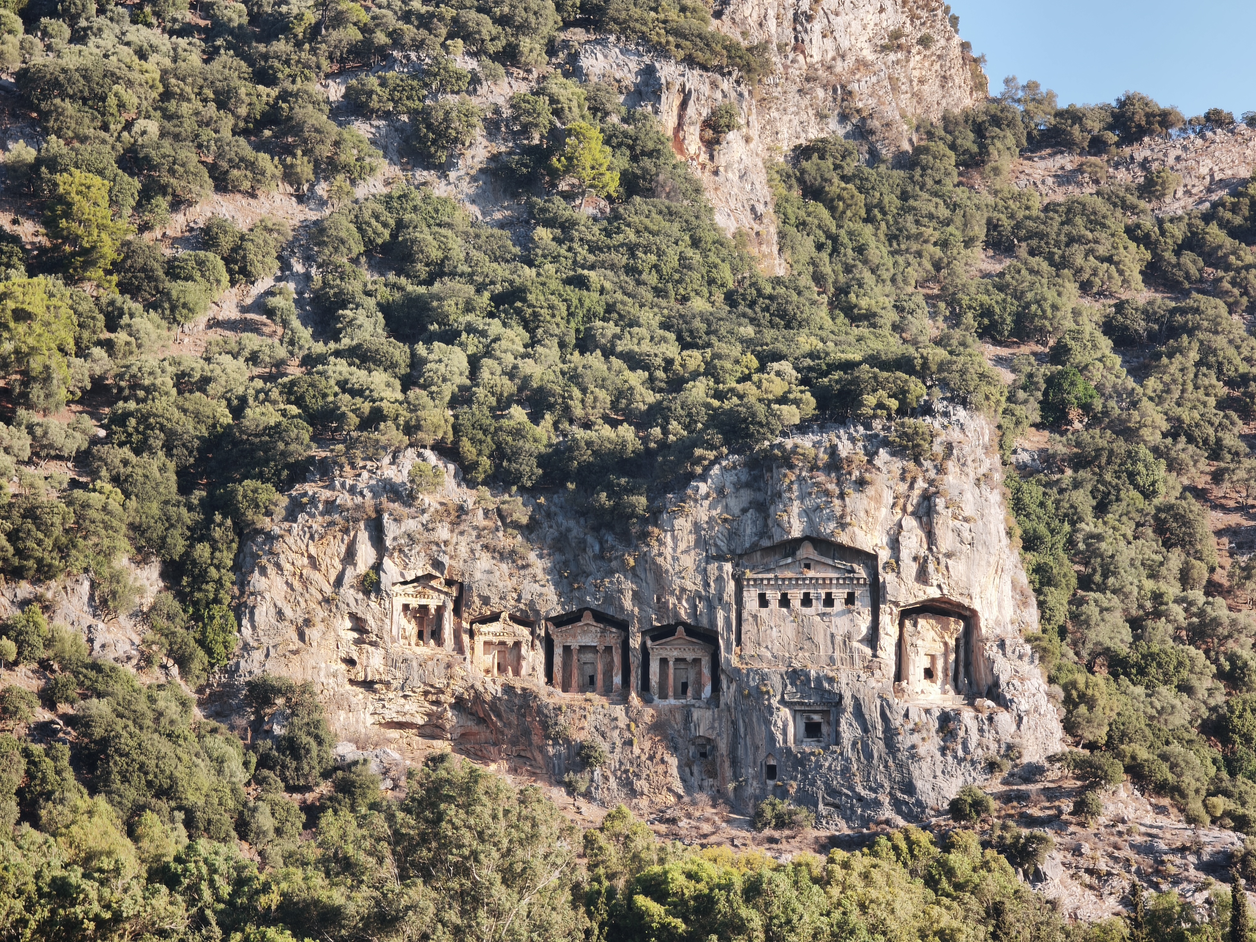
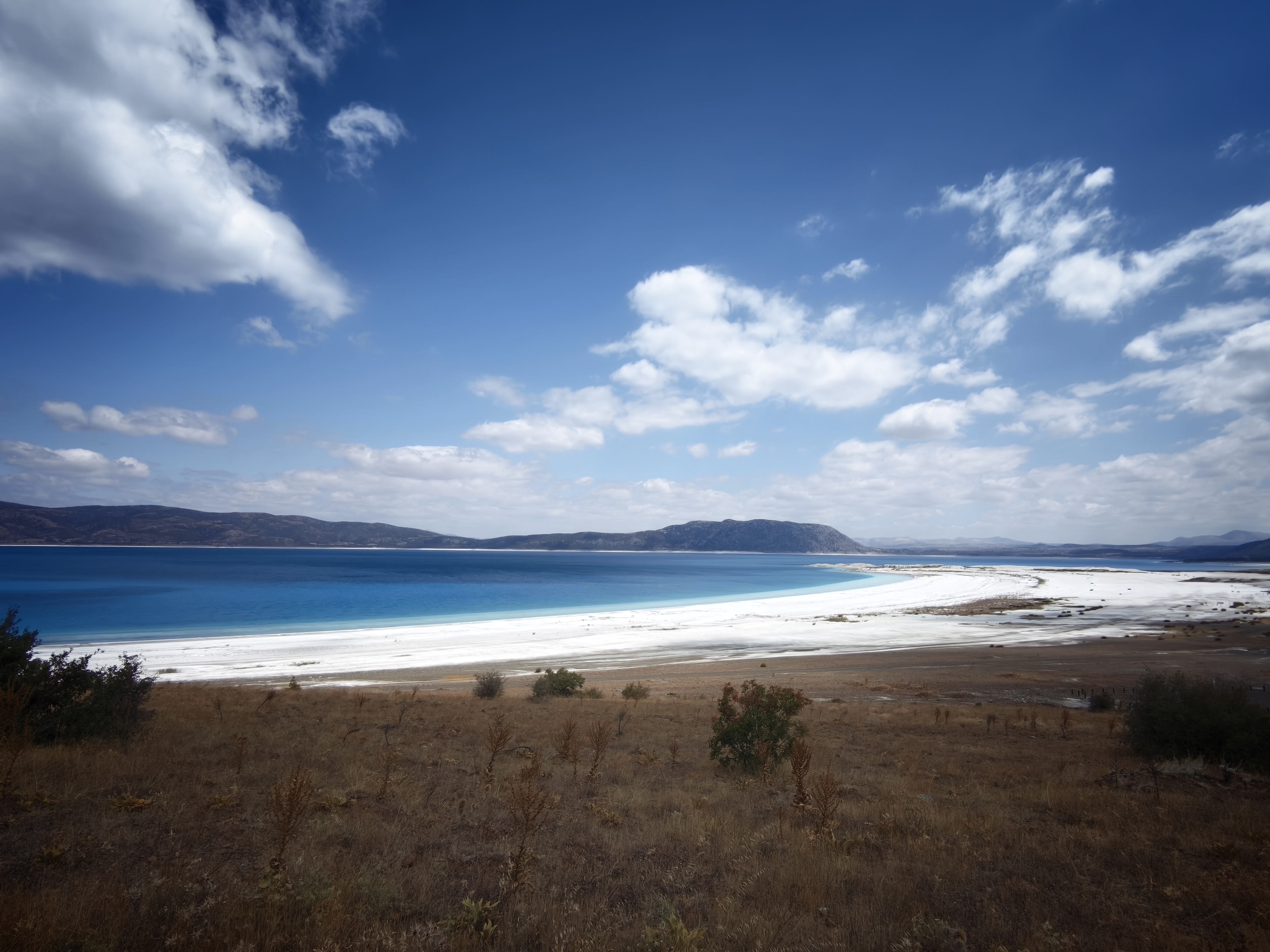
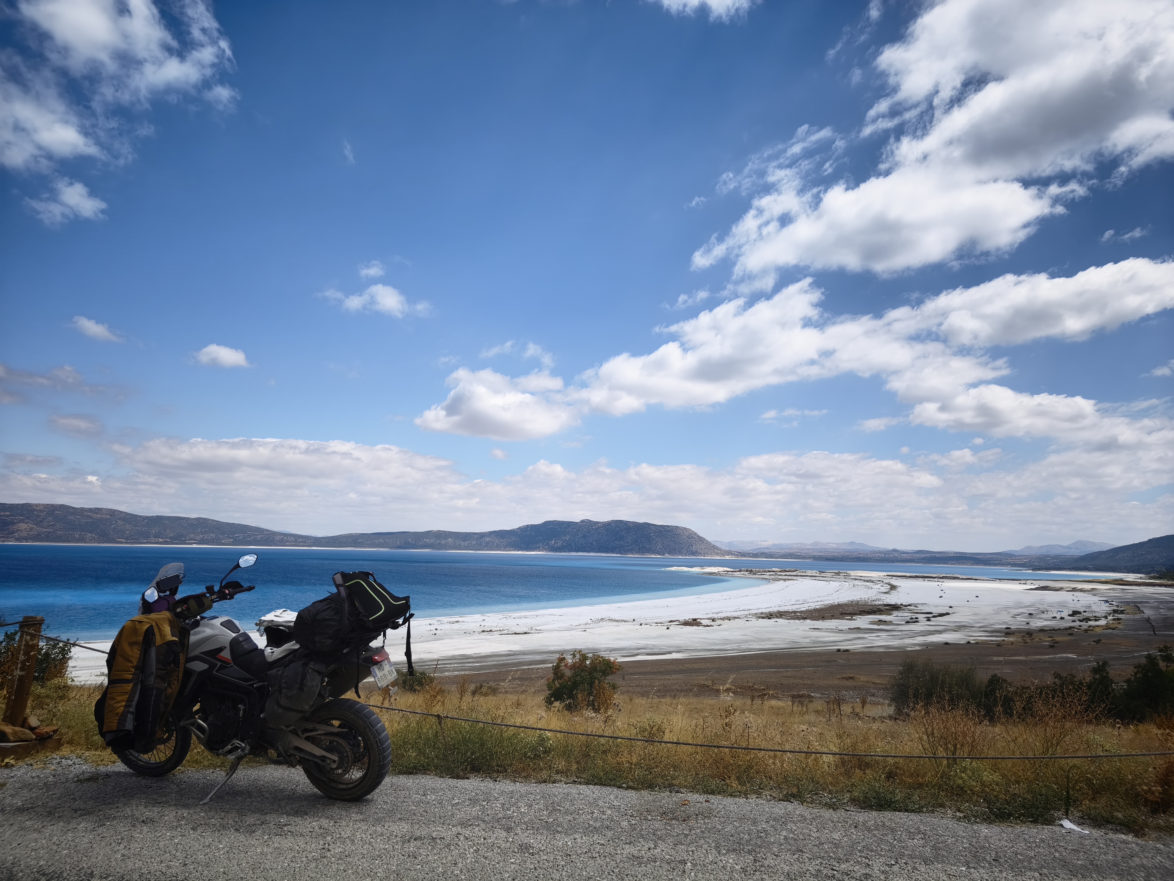
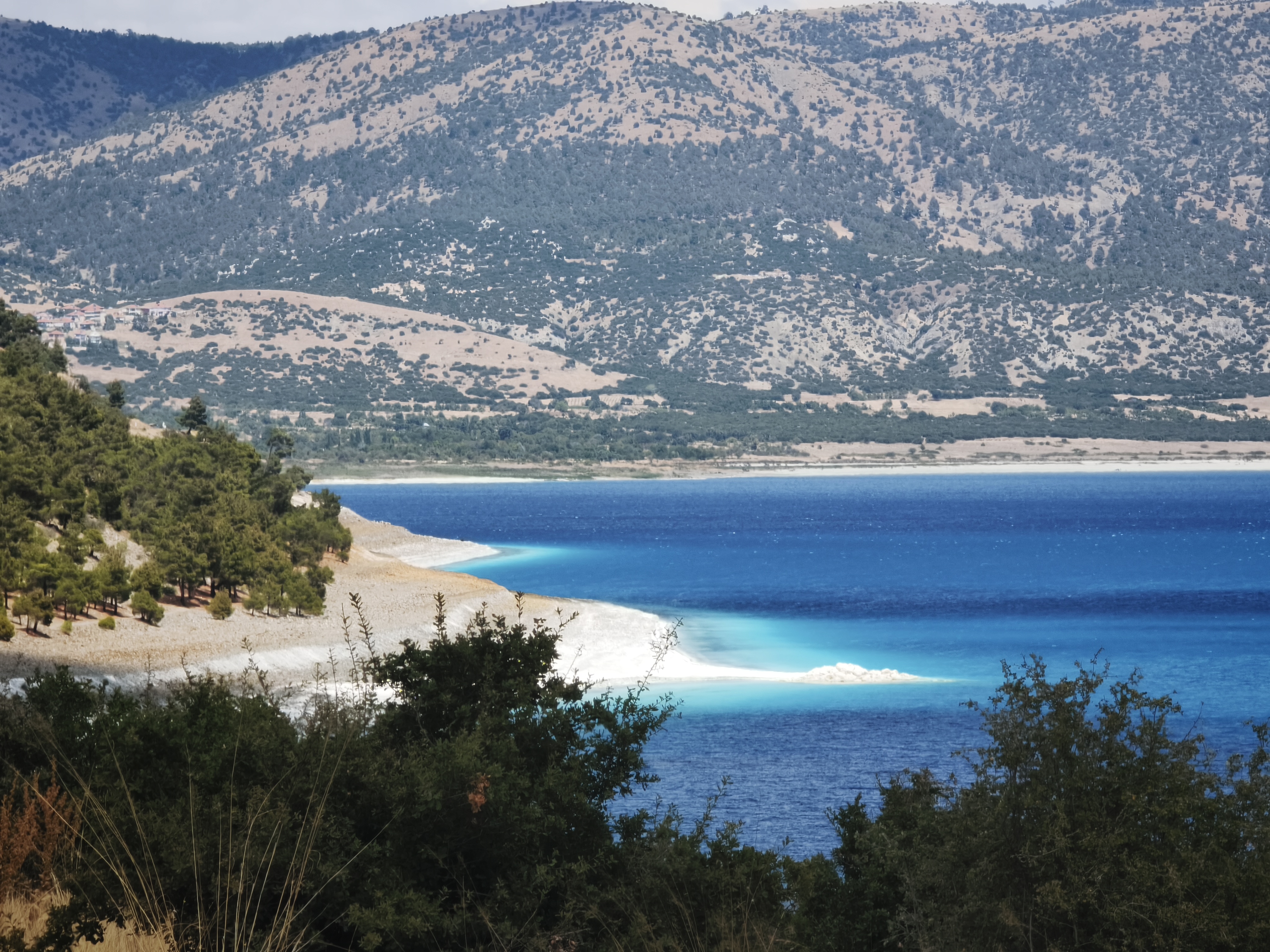
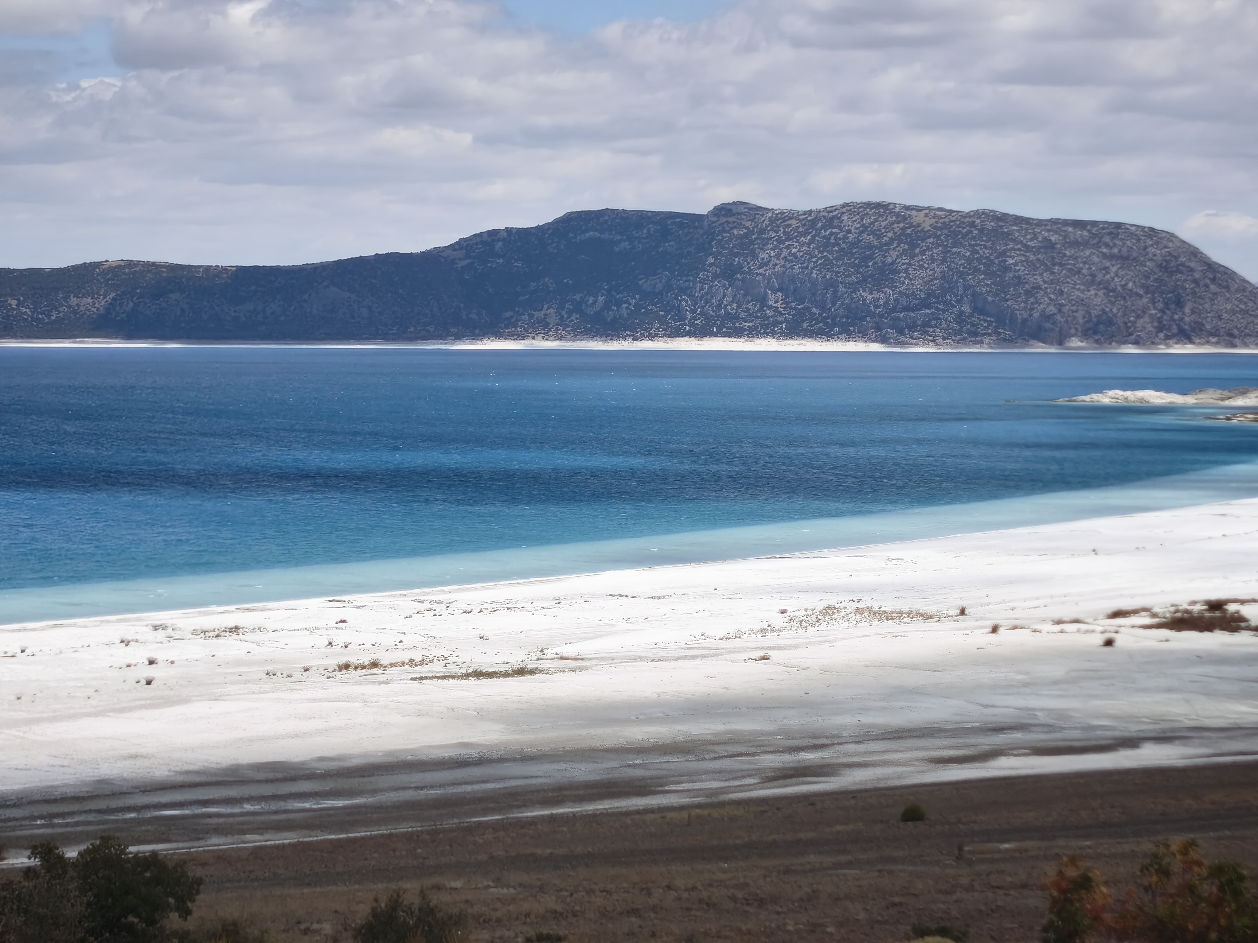
A morning glance at the Lycian tombs in Dalyan before climbing back up toward Lake Salda (1,100 m altitude). With its turquoise waters and white magnesite sand, it has earned the nickname « the Maldives of Turkey. » The site itself is now inaccessible to protect its delicate ecosystem, but you can view it by hunting for surrounding tracks (now you see the value of winter geo-scouting!). Only a NASA research laboratory is set up nearby, as the location is said to hold conditions closer to Mars than anywhere else on Earth.
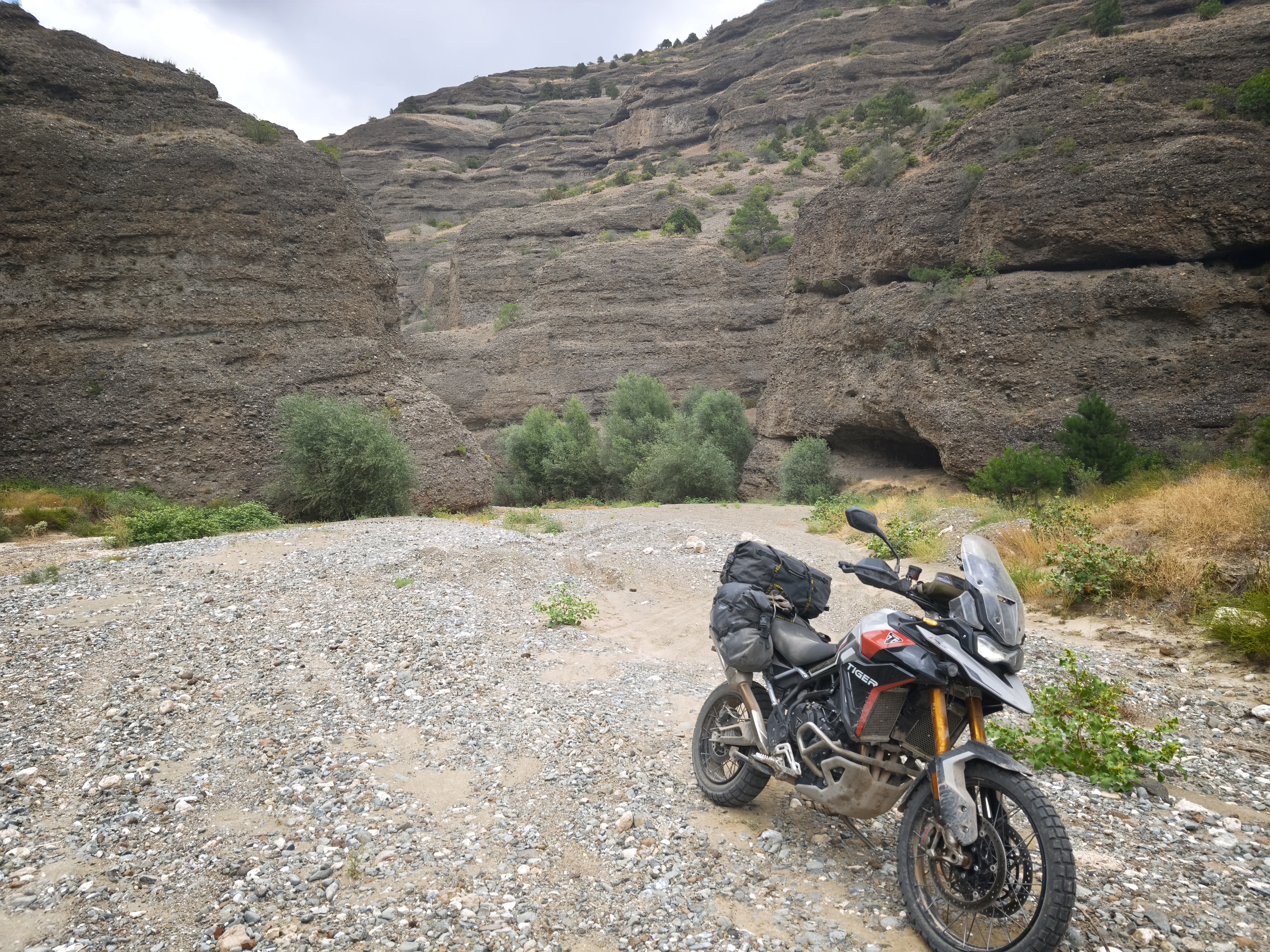
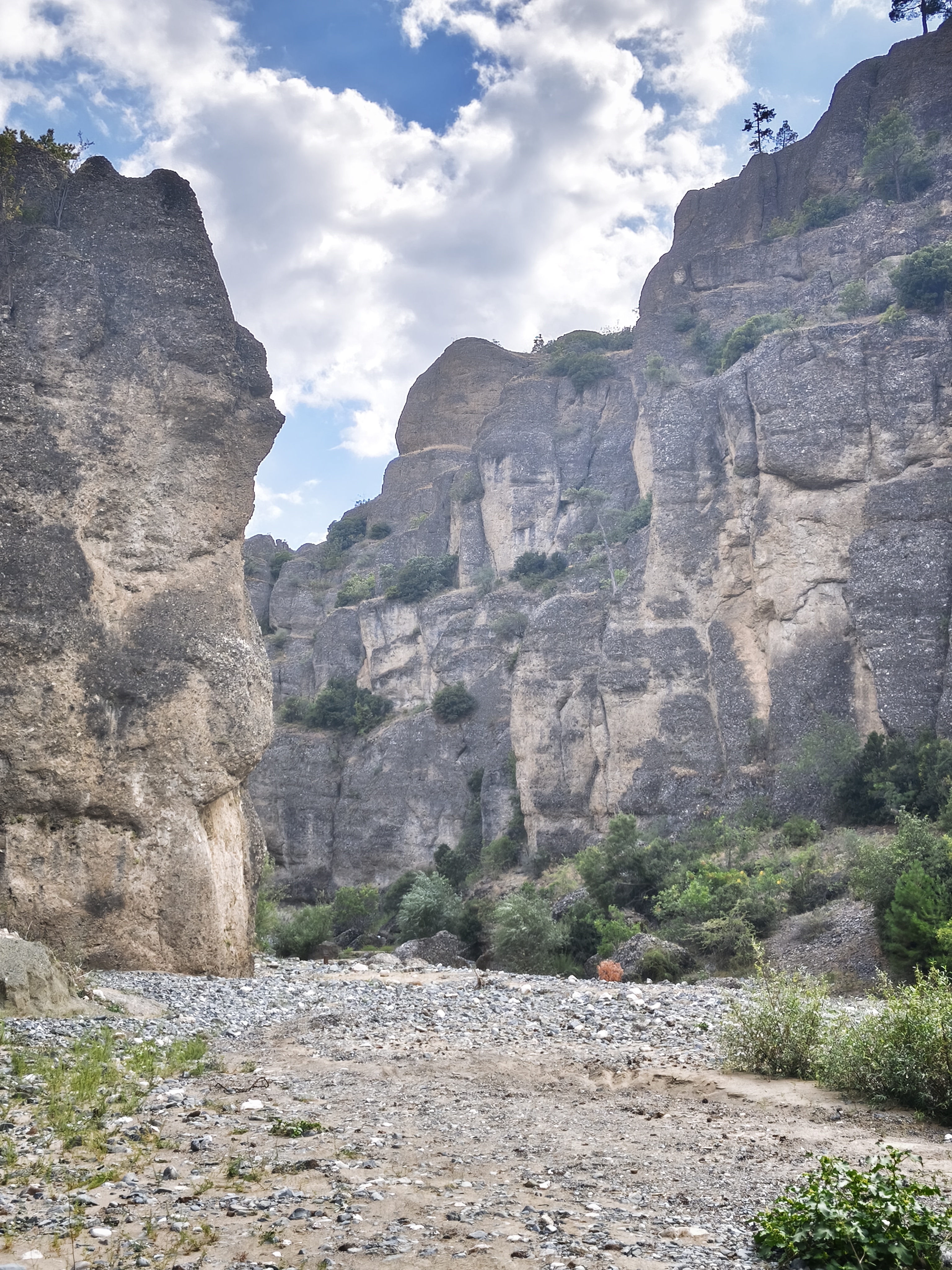
Further along, entering the Karakişilik Canyon, my only real routing mistake of the trip. A recent flash flood had washed out the trail, trapping me in soft sand and river pebbles. Incredible stroke of luck: four Turkish motorcyclists were trapped in the exact same spot! One of them, highly experienced, managed to extract all five bikes from the trap. A huge thank-you to him and a wonderful moment of camaraderie!
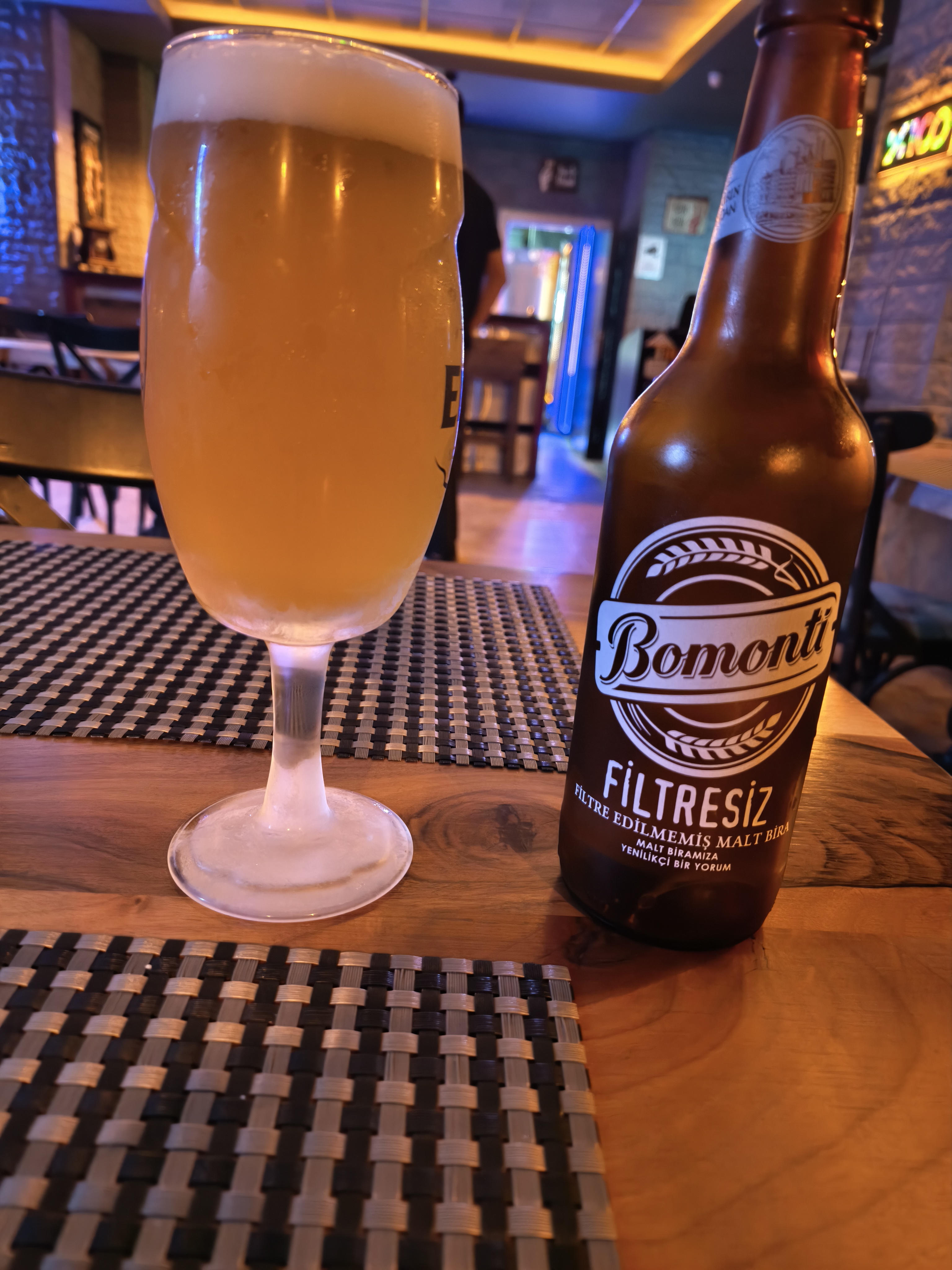
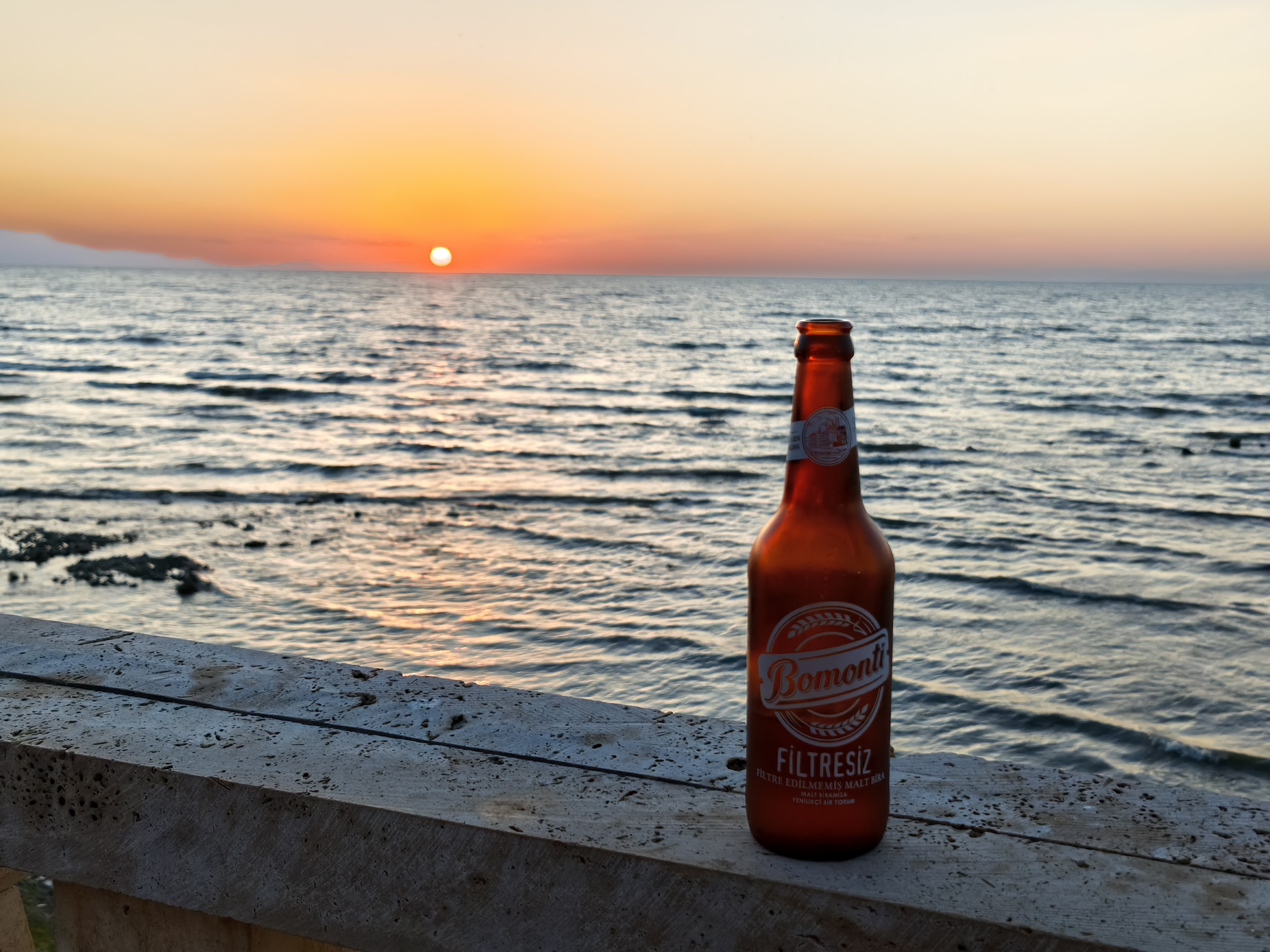
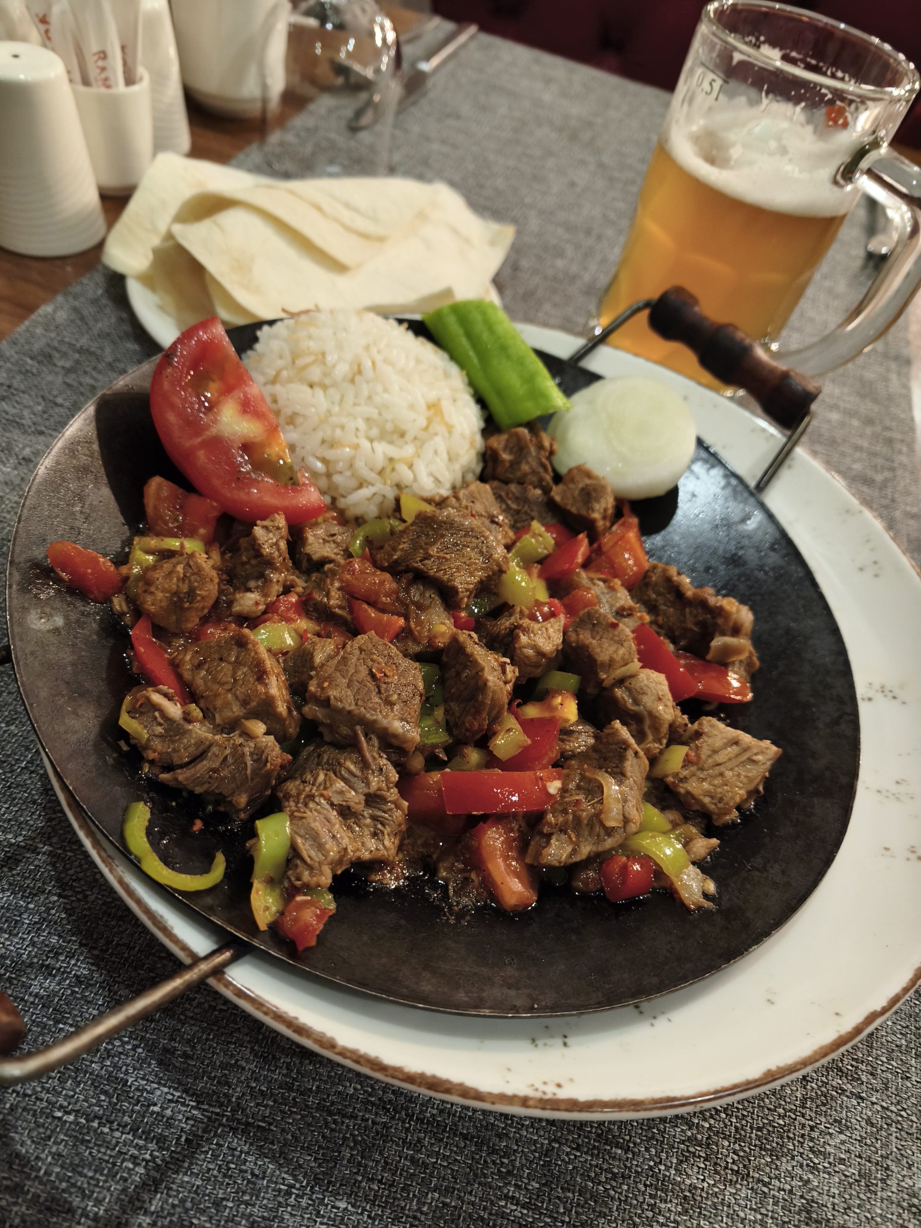
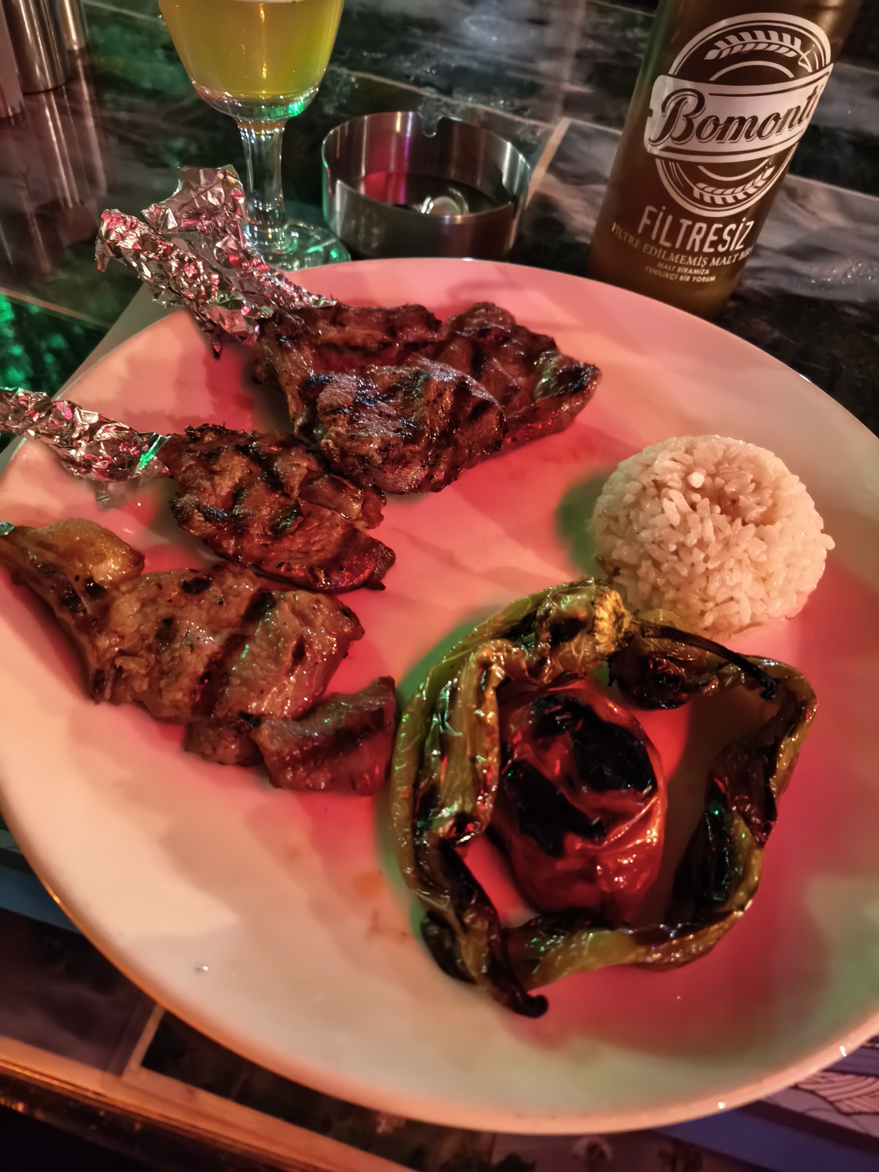
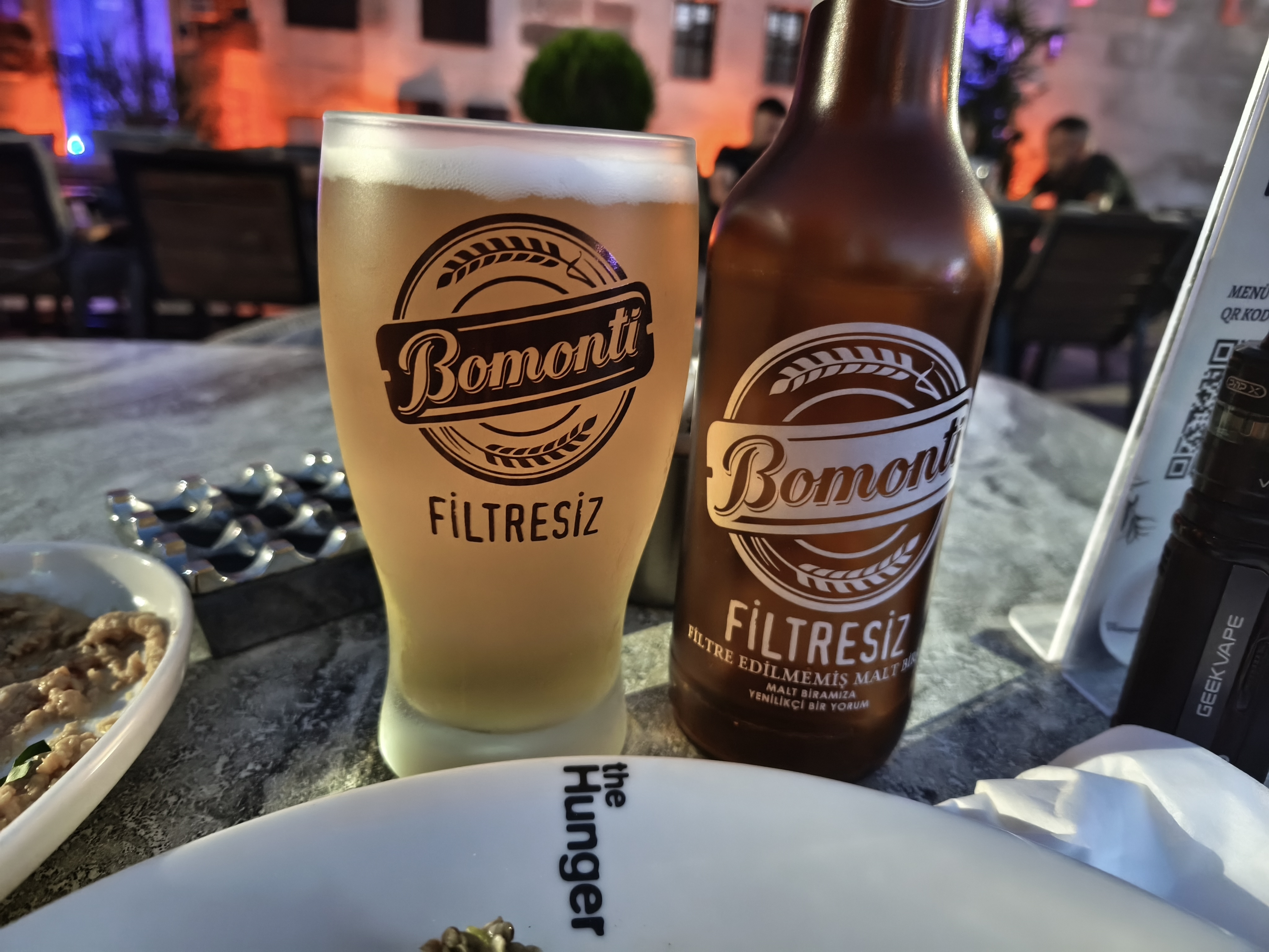
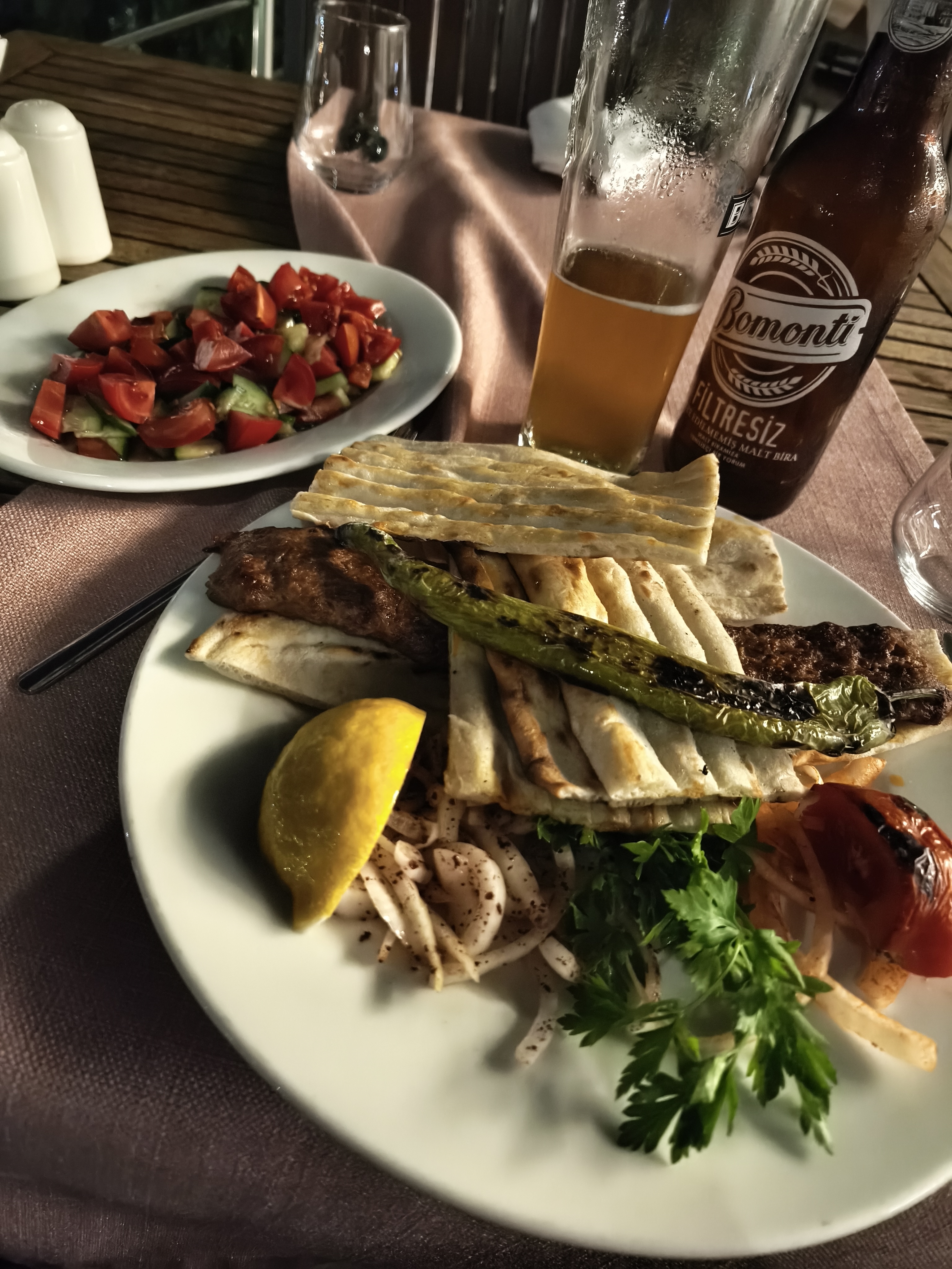
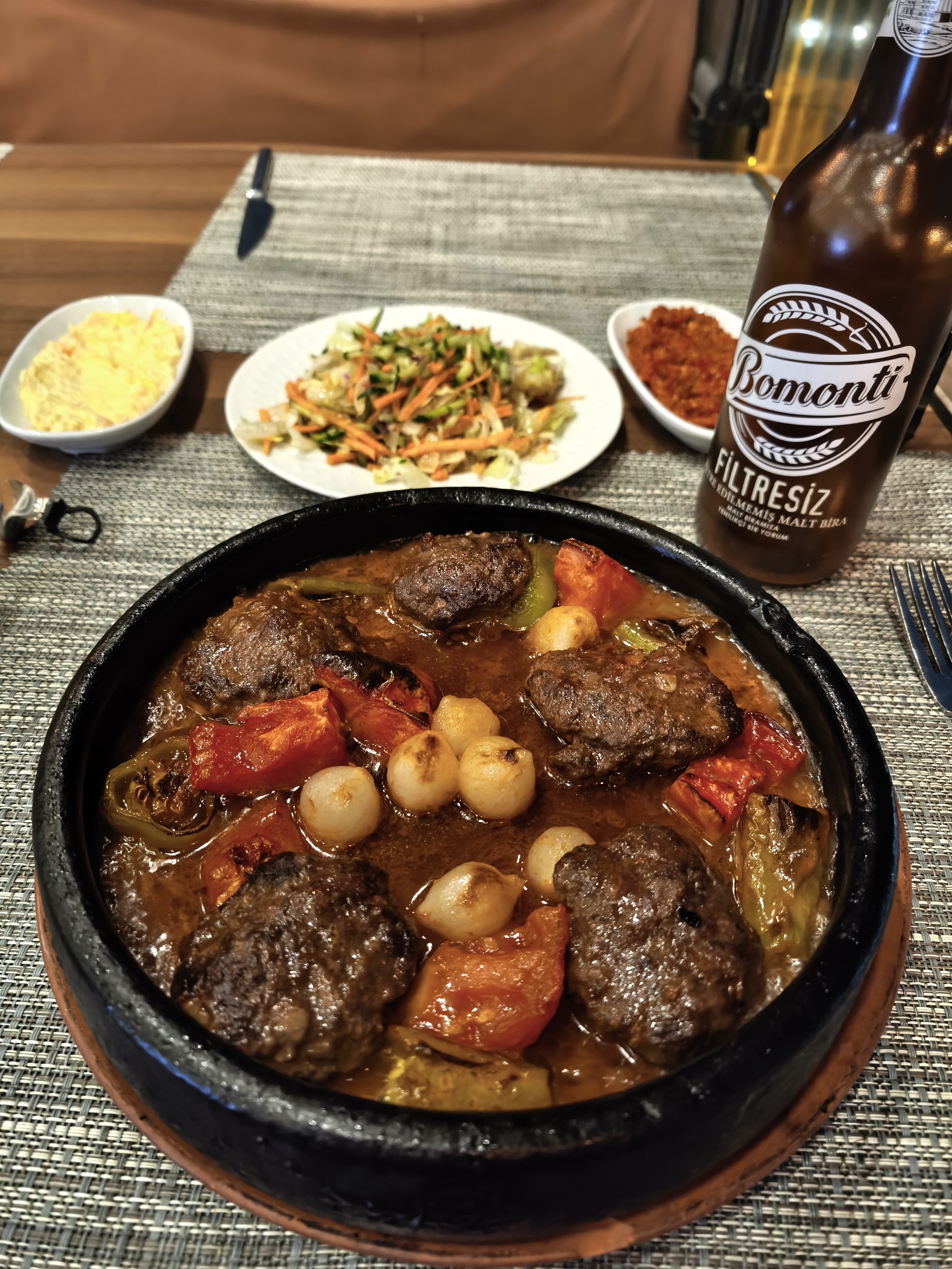
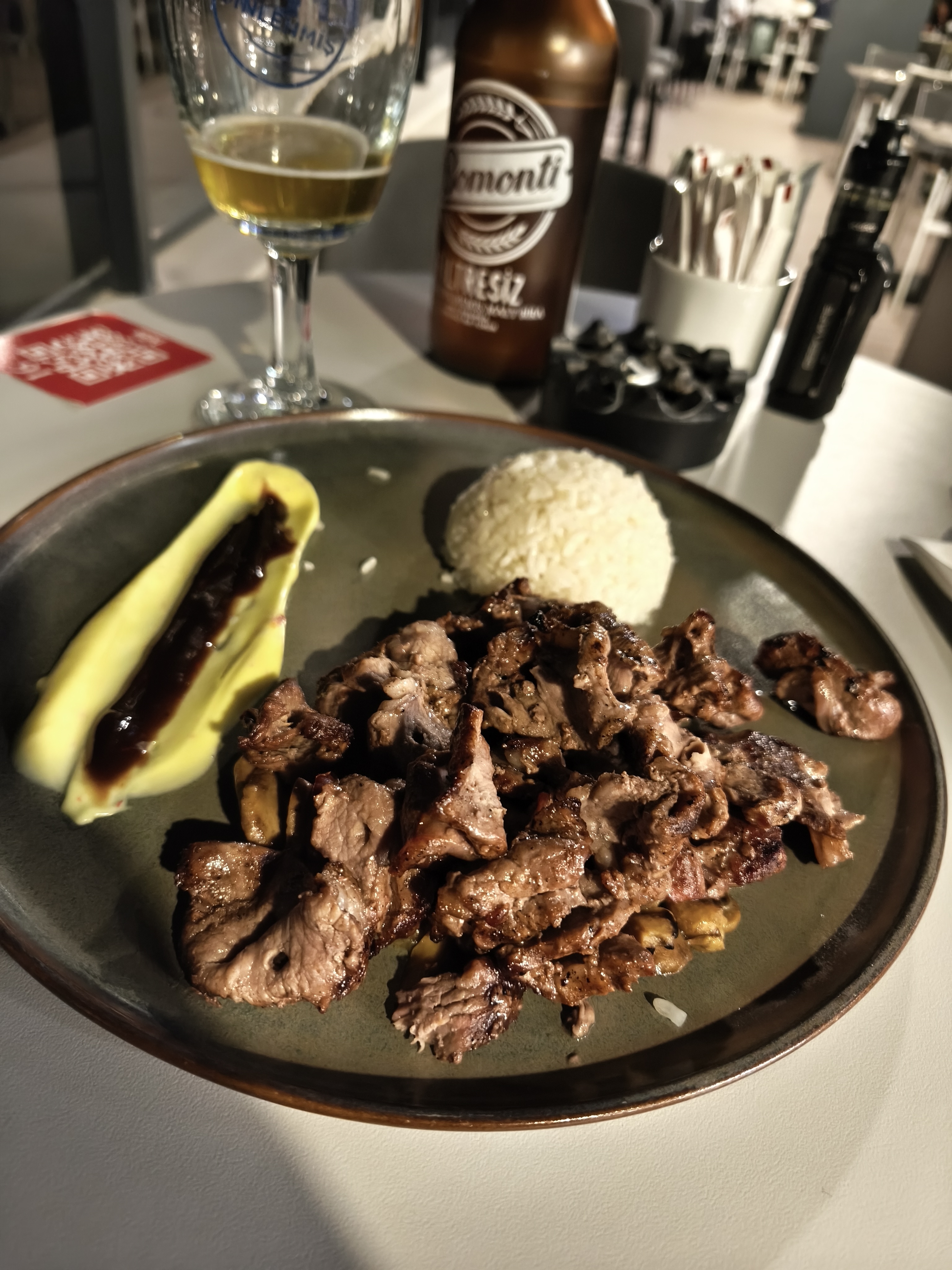
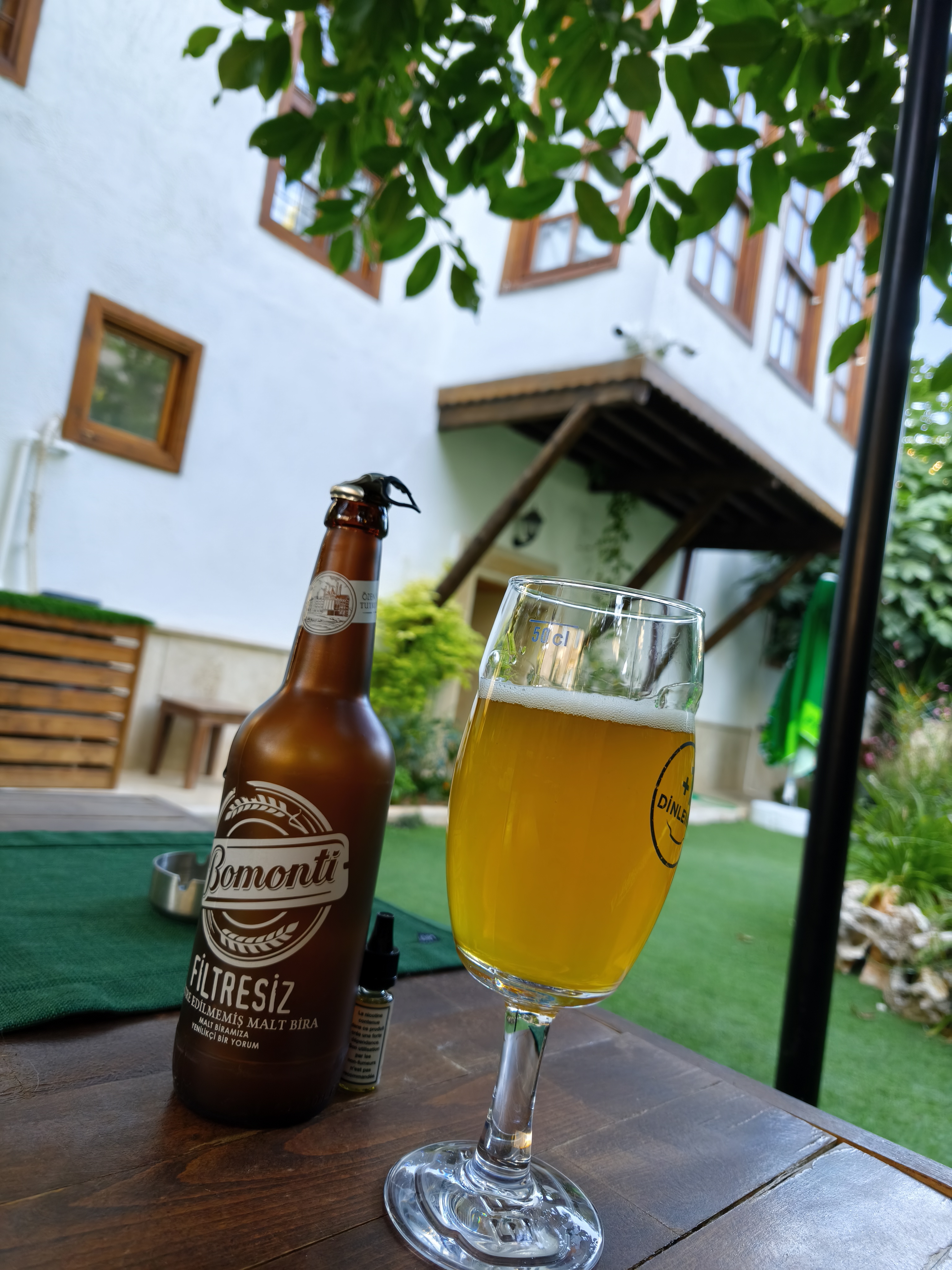
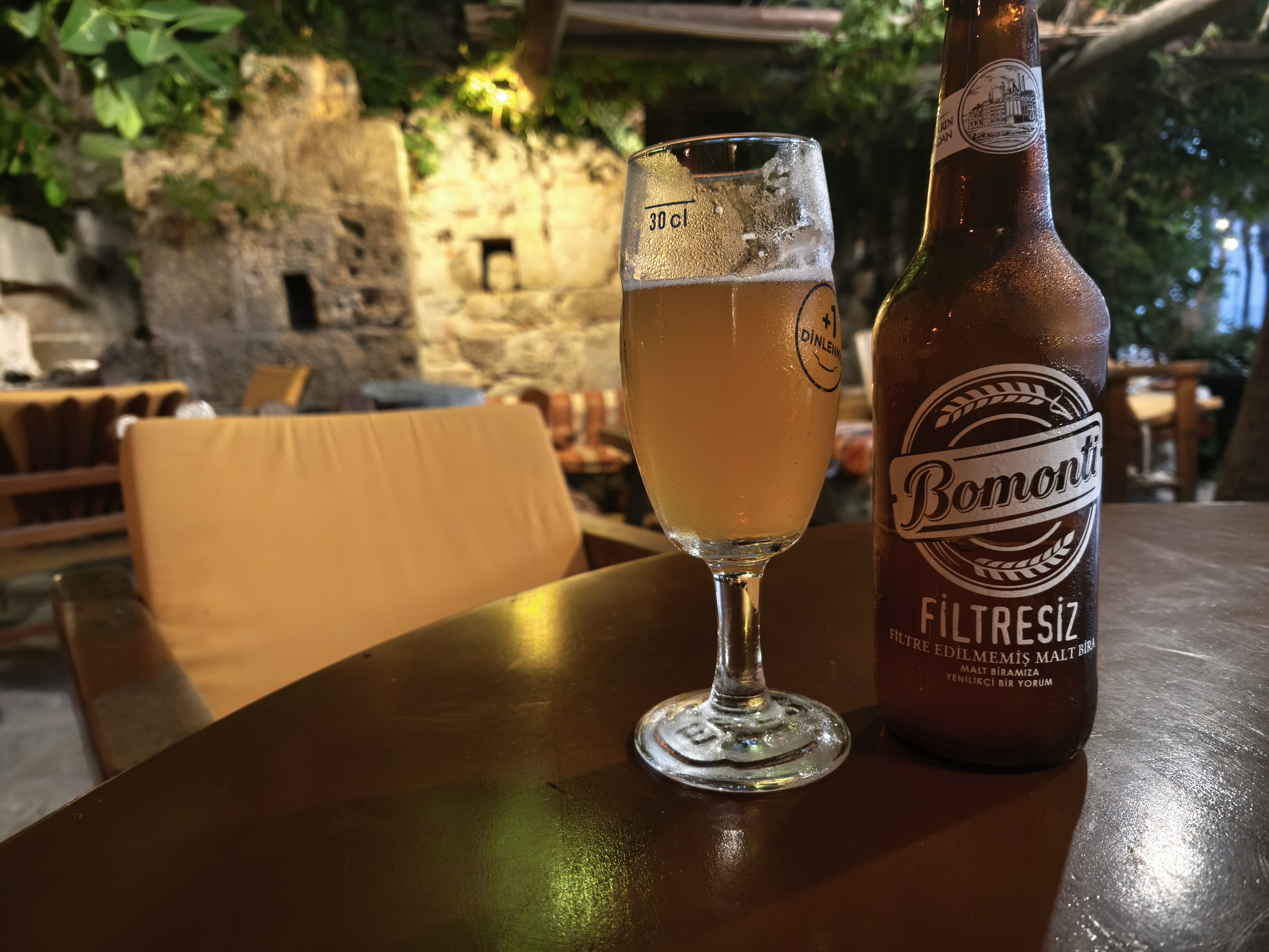
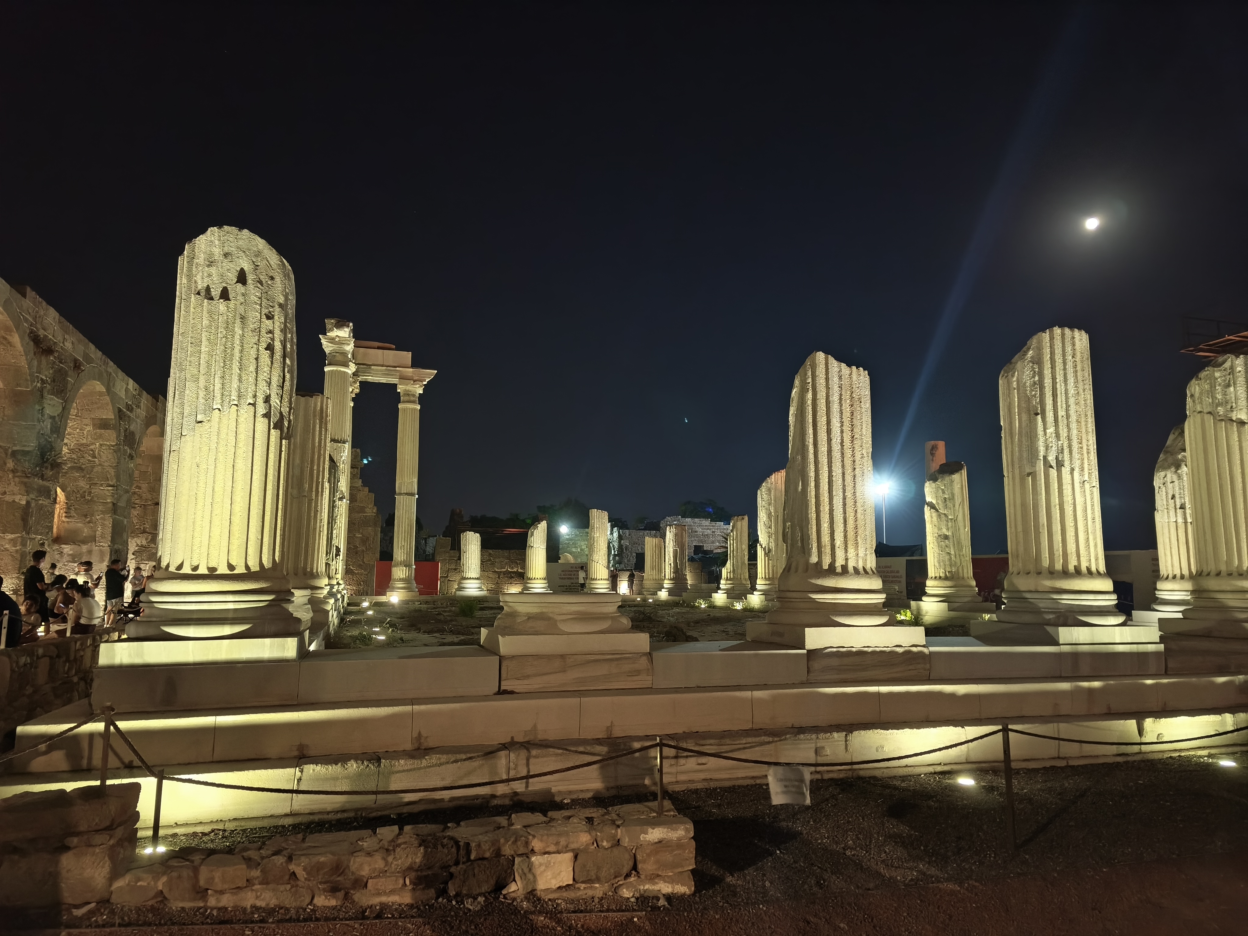
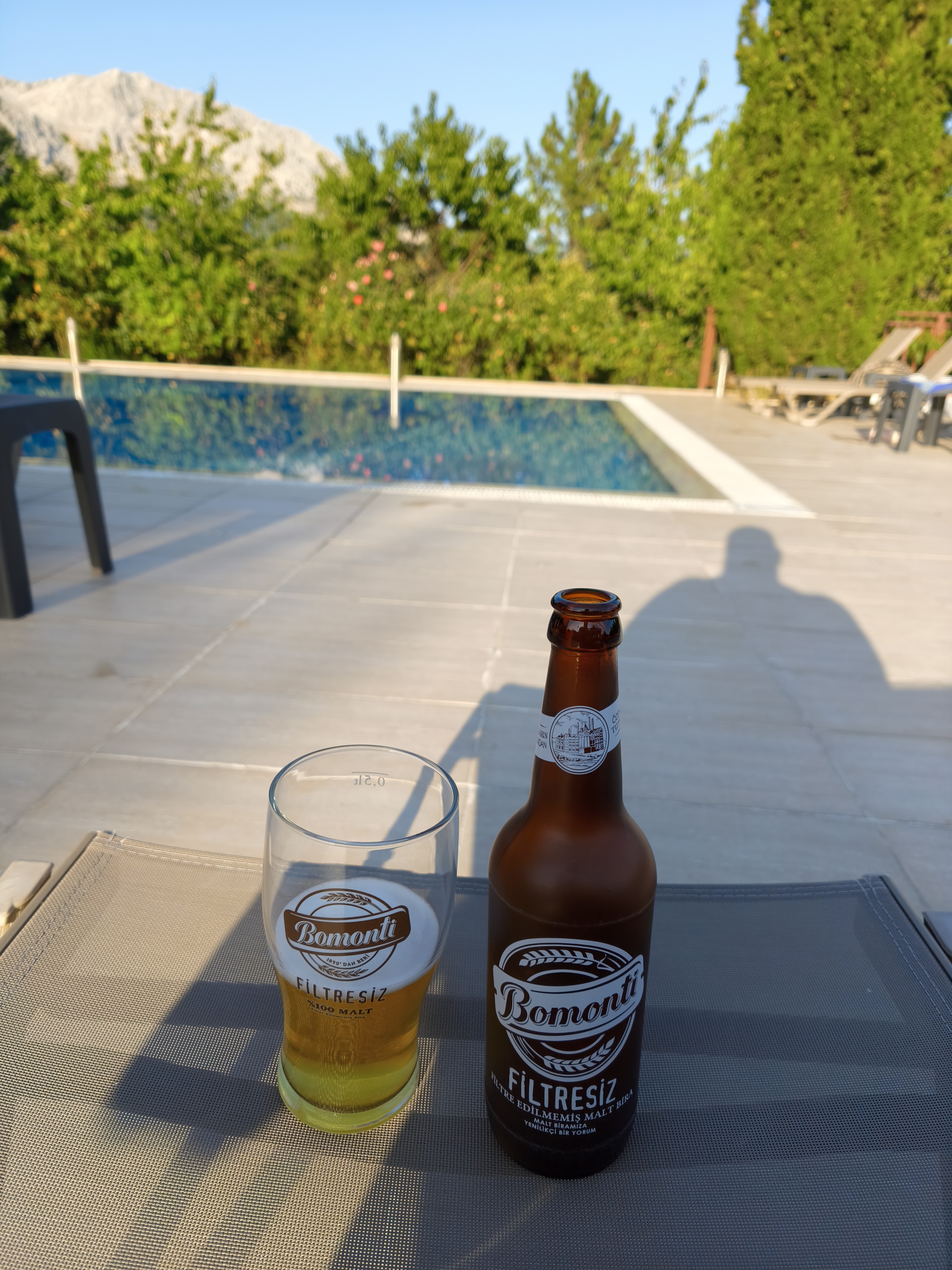
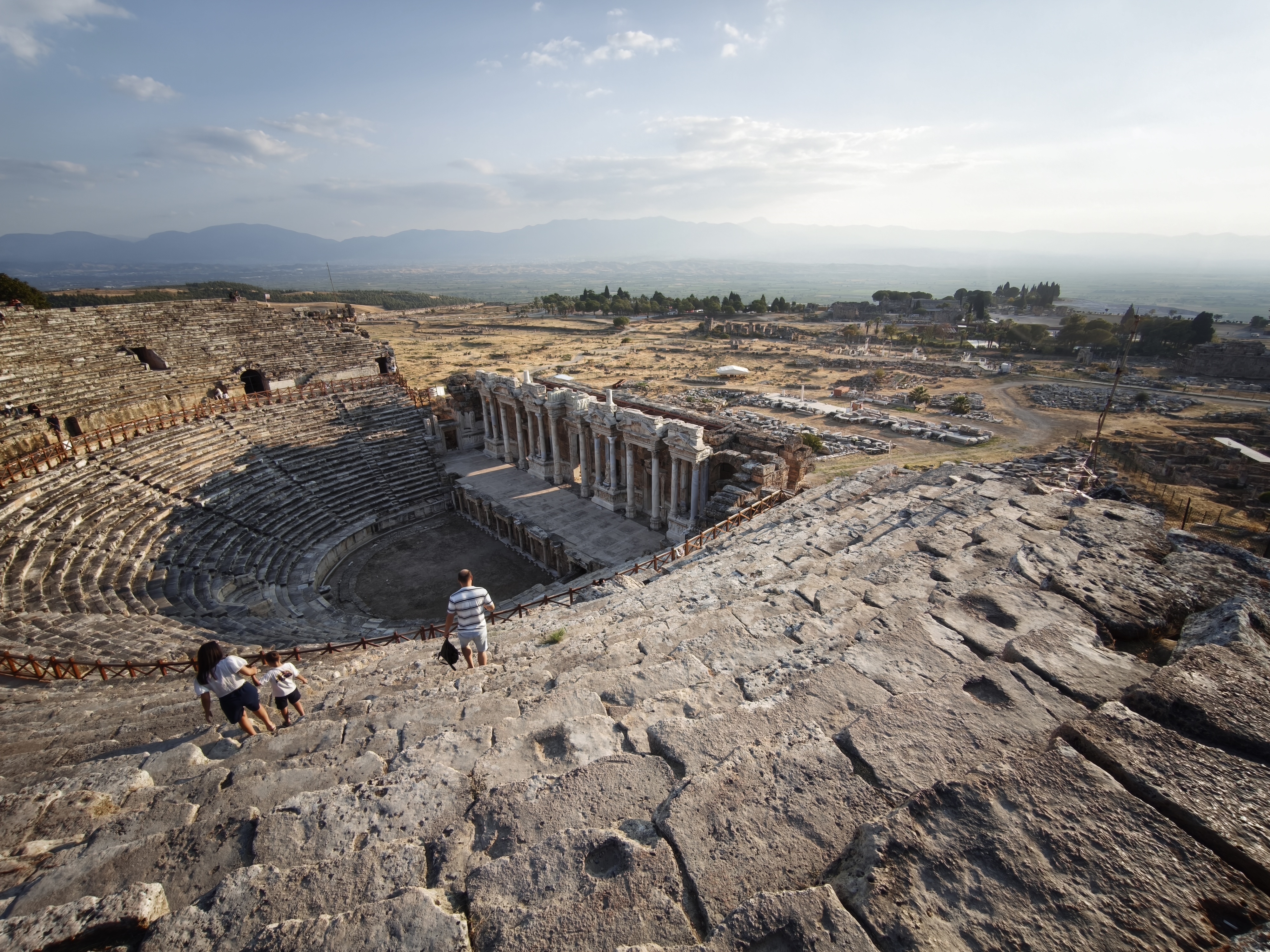
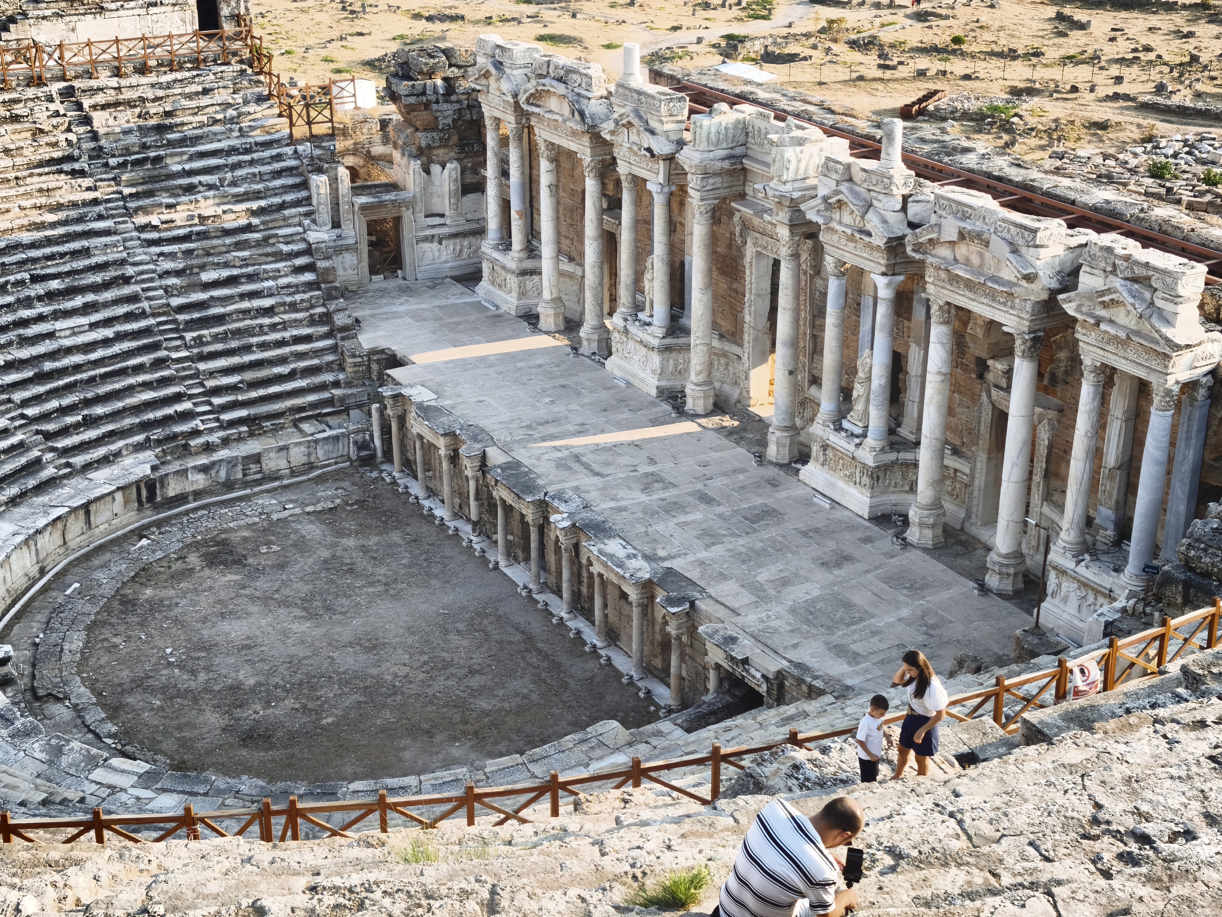
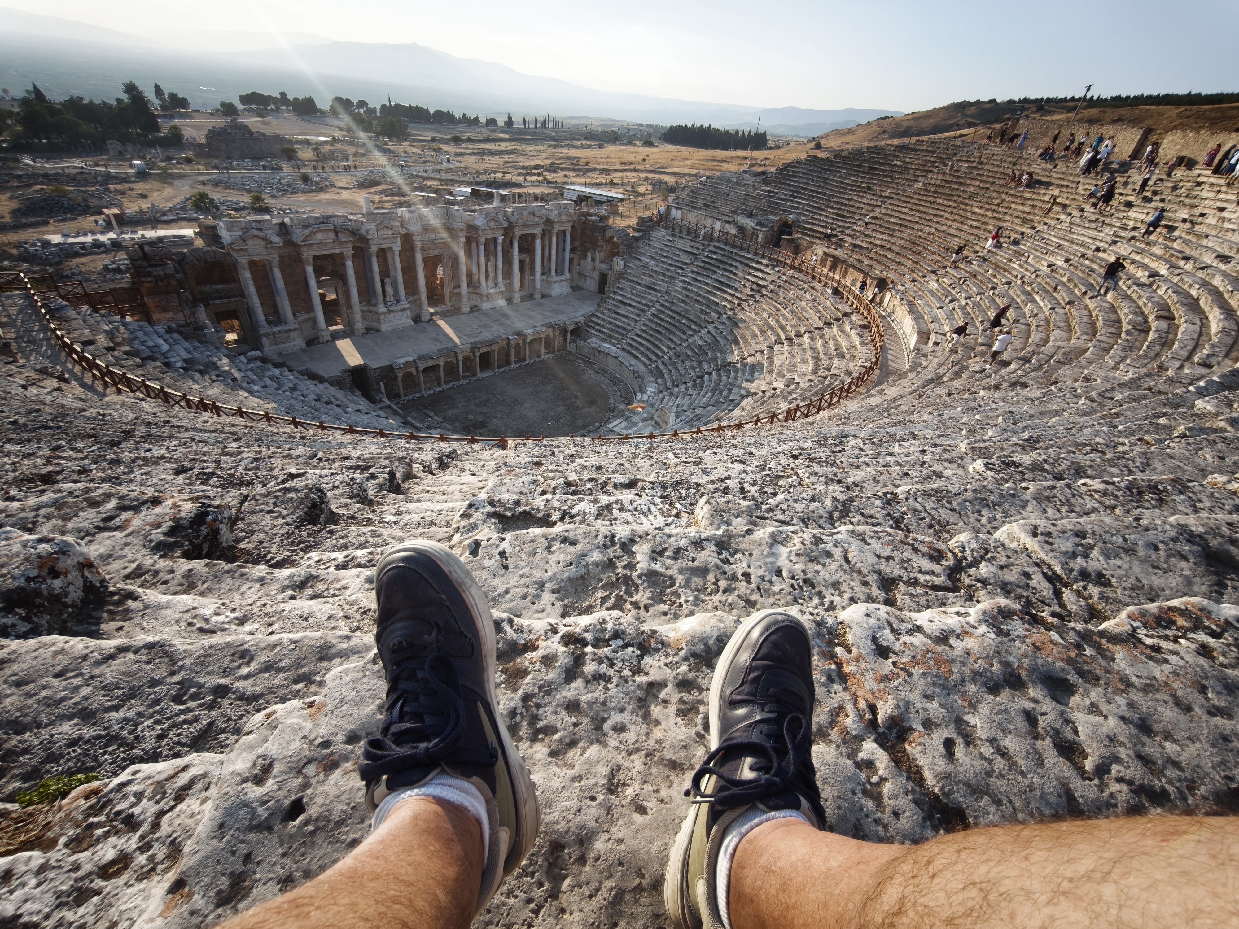
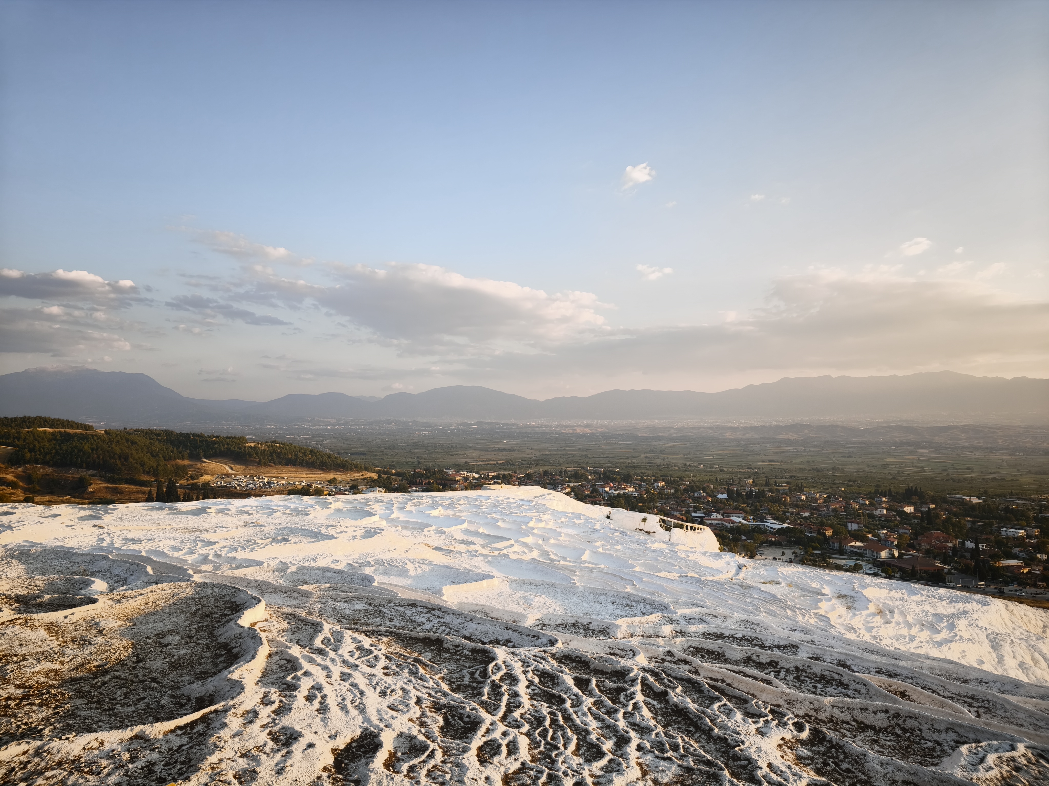
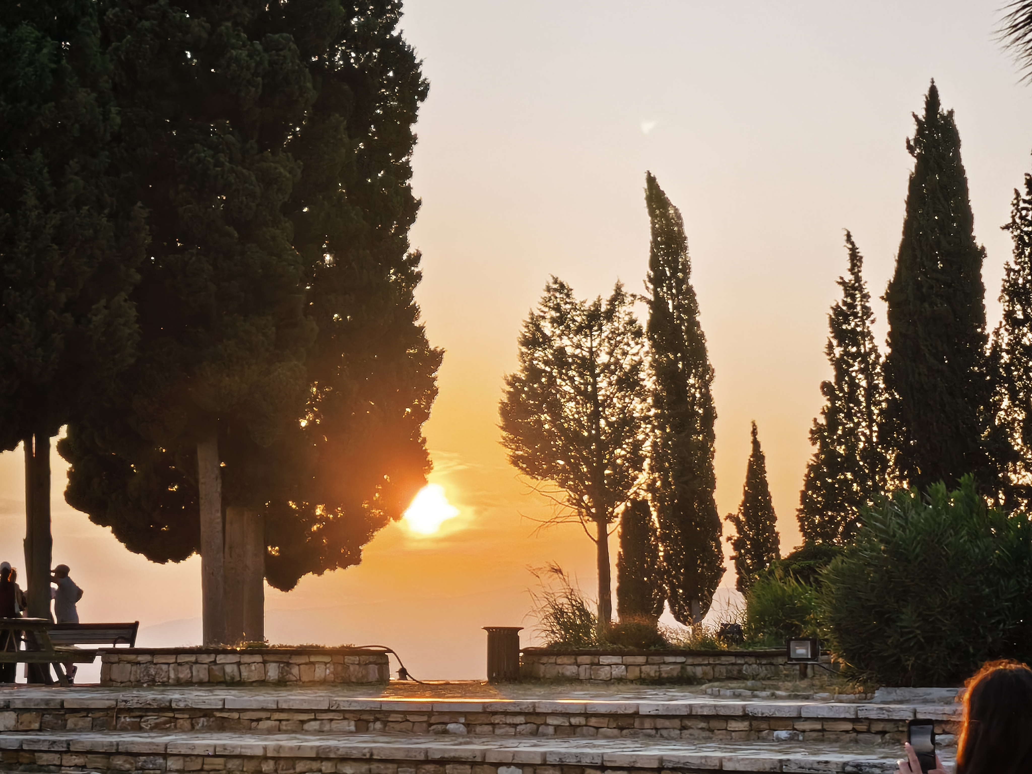
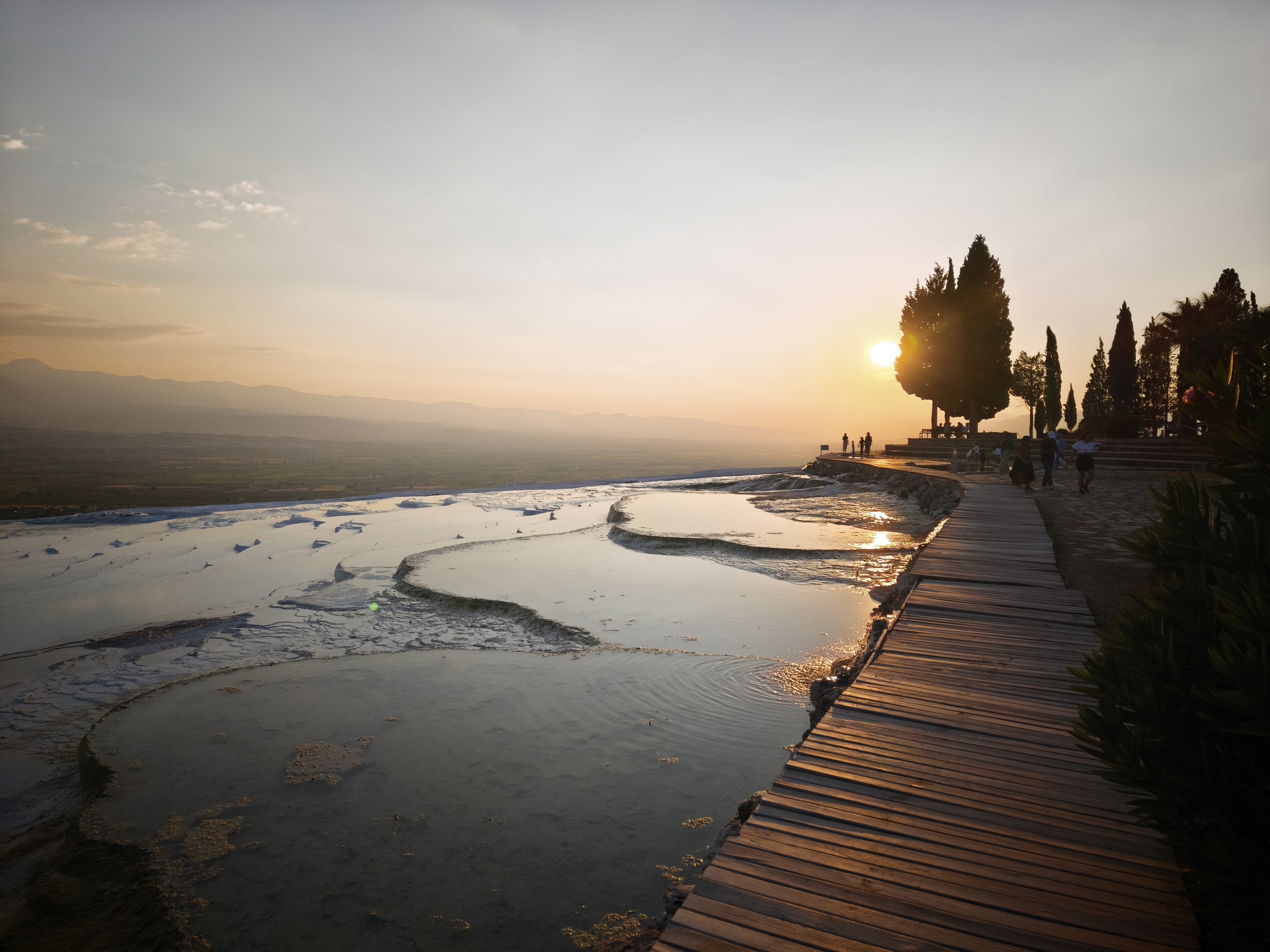
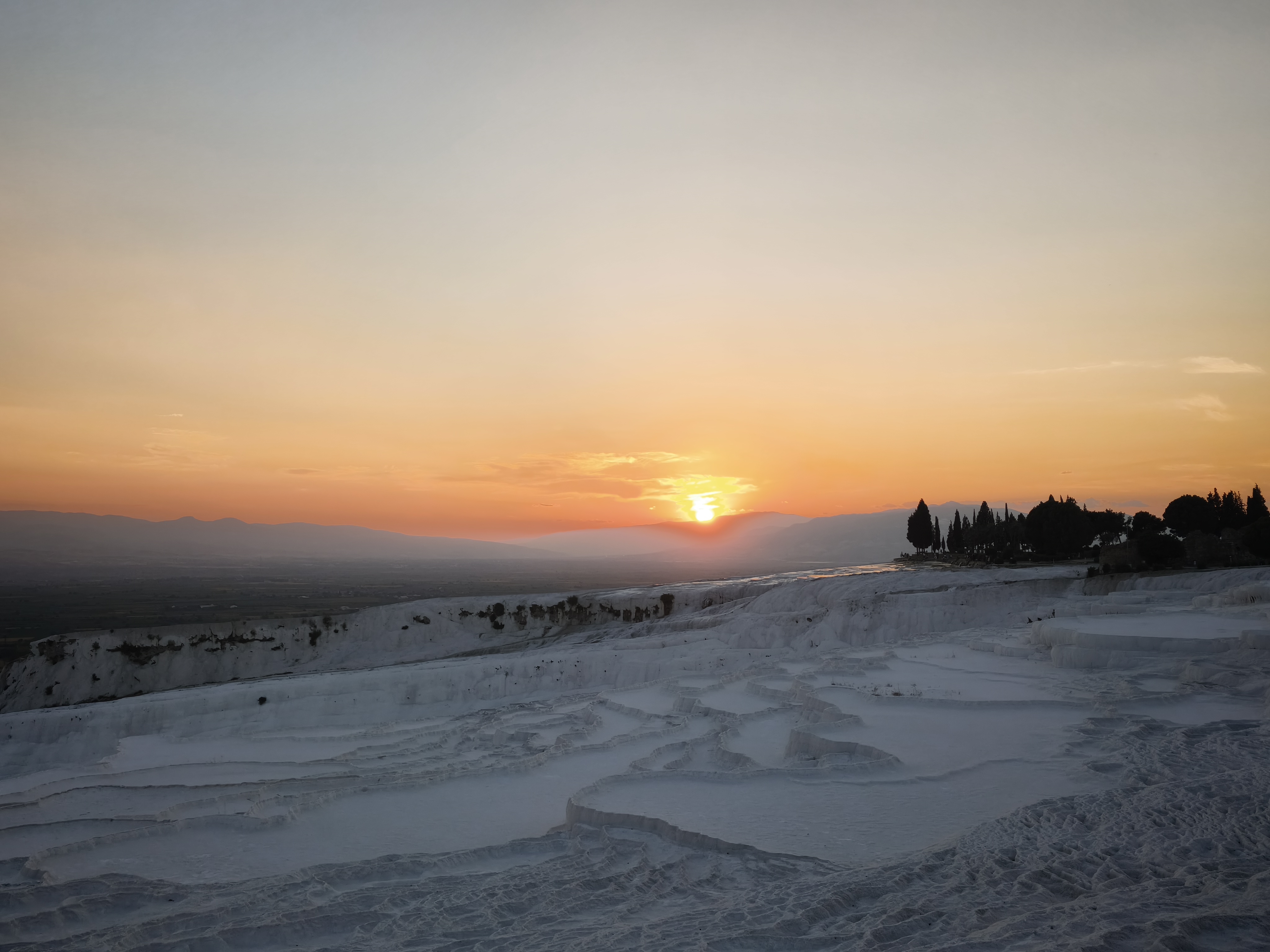
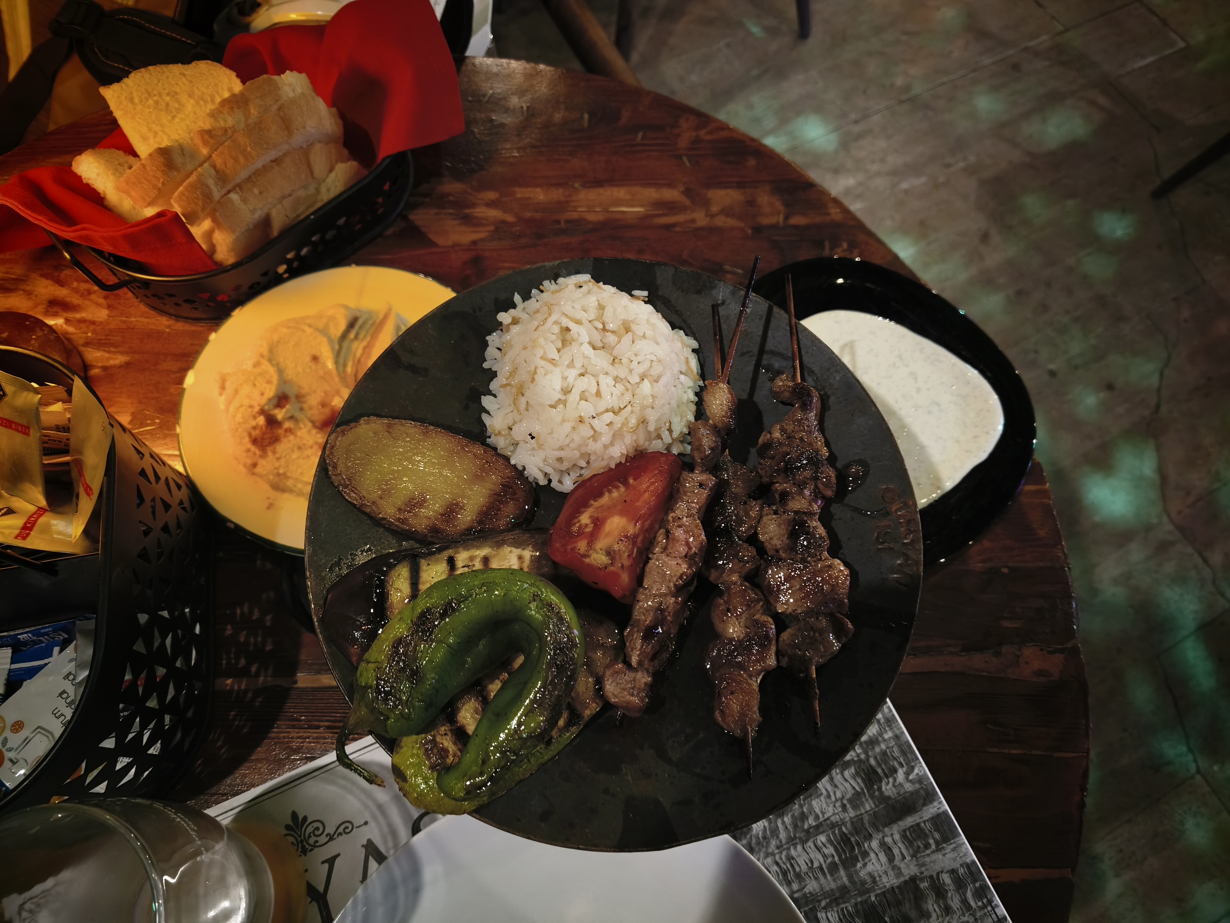
Arrival in Pamukkale just in time to visit Hierapolis and admire the sunset over the white travertine pools. Naturally, Pamukkale draws hordes of tourists soaking their feet in the basins. However, my late arrival and exploration of more secluded areas across this immense ancient site allowed me to enjoy magnificent views. A feast on lamb washed down with Bomonti Filtresiz beers to top it off. I could have missed all of this had I spent the evening trying to single-handedly haul my bike out of the soft sands of that trap canyon.
Coup d’œil matinal aux tombeaux lyciens de Dalyan avant de remonter vers le lac Salda (1 100 m d’altitude). Avec ses eaux turquoises et son sable de magnésite blanche, on le surnomme les « Maldives de Turquie ». Le lieu est désormais inaccessible, afin de le préserver, mais on peut l’observer en cherchant des pistes aux alentours (vous comprenez l’intérêt du travail hivernal de géo-repérage ?). Seul un laboratoire de recherche de la NASA y est posé à proximité, le lieu étant celui qui dans le monde présenterait les caractéristiques les plus proches de la planète Mars.
Plus loin, engagement dans le canyon de Karakişilik, ma seule vraie erreur d’itinéraire du voyage. Une crue récente avait emporté la piste, me piégeant dans du sable mou et des galets. Chance inouïe : quatre motards turcs s’étaient piégés au même endroit ! L’un d’eux, très expérimenté, a réussi à sortir les cinq motos de ce mauvais pas. Un immense merci à lui et un super moment de partage!
Arrivée à Pamukkale juste à temps pour visiter Hiérapolis et admirer le coucher de soleil sur les vasques de travertin blanc. Evidemment, Pamukkale, ce sont des hordes de touristes, venus trempés leurs pieds dans les vasques. Mais mon arrivée tardive et la recherche d’endroits plus isolés sur cet immense site antique m’ont permis de profiter de vues superbes. Razzia sur l’agneau, avec des Bomonti Filtresiz pour faire passer le tout. J’aurais pu rater tout cela si j’avais dû passer la soirée à essayer d’extraire seul la moto des sables mous de ce canyon piège.
Day #28: Pamukkale – Ephesus (Selçuk). Distance: 295 km (270 km Road / 25 km Off-road track)
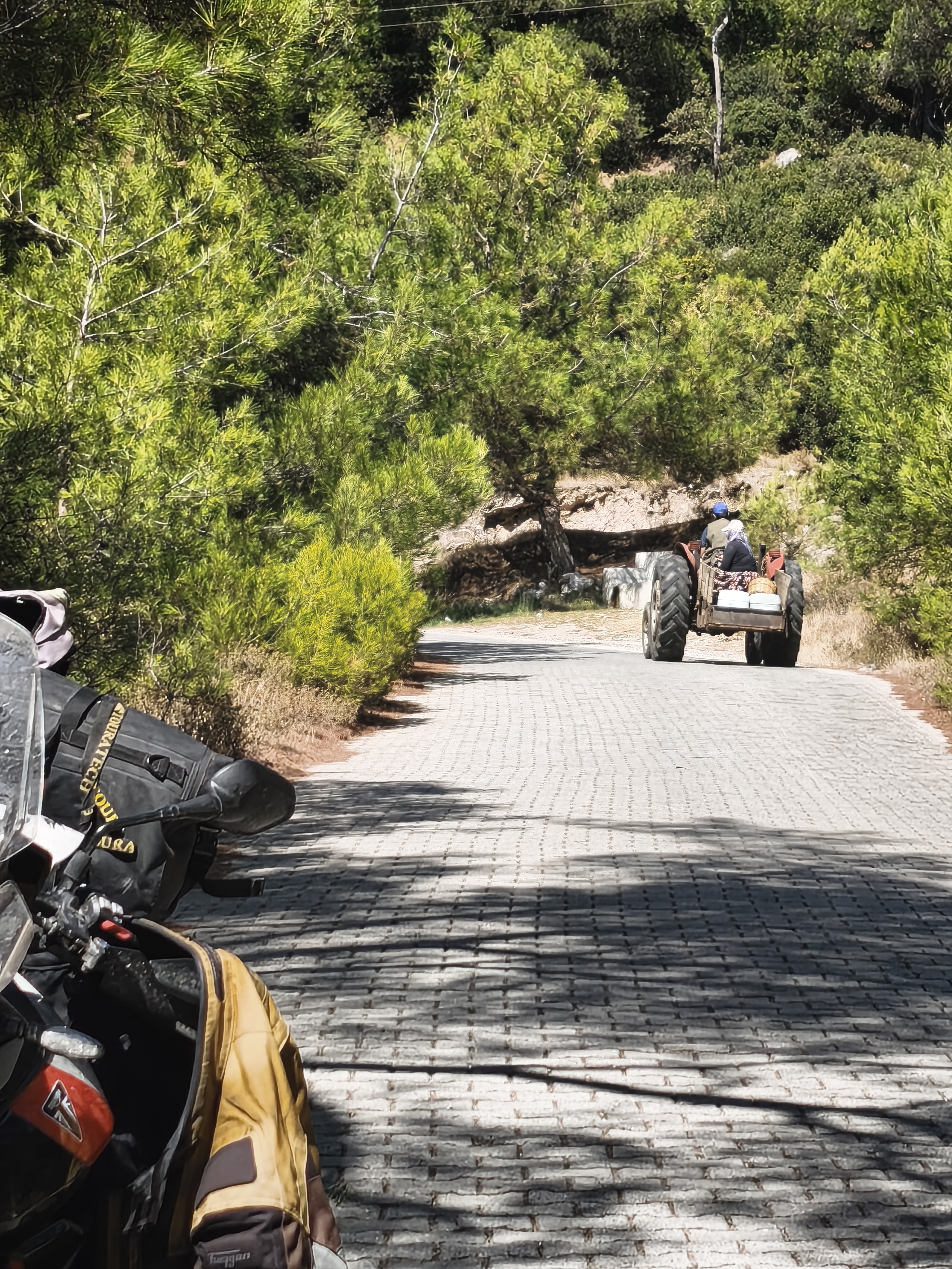
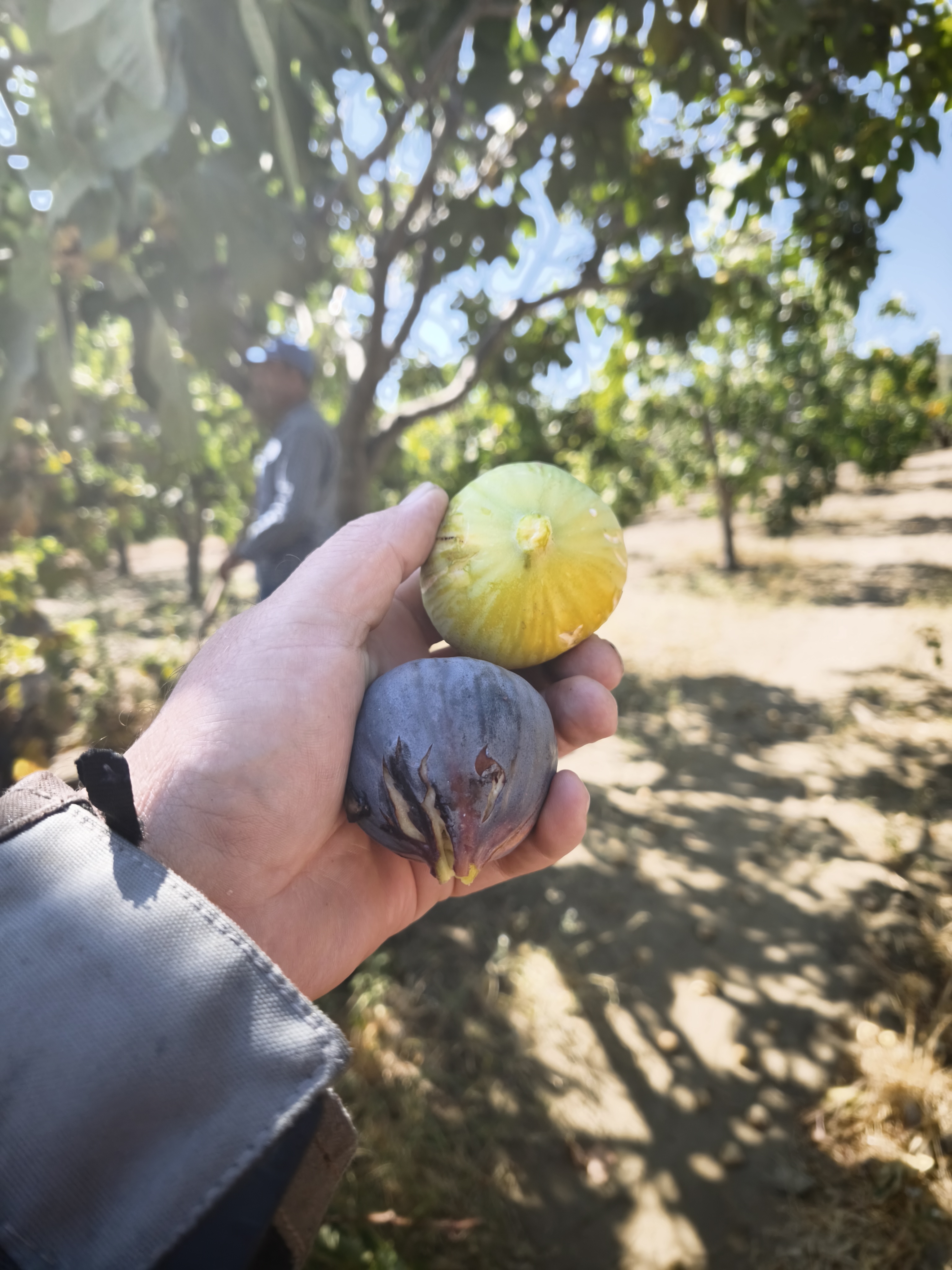
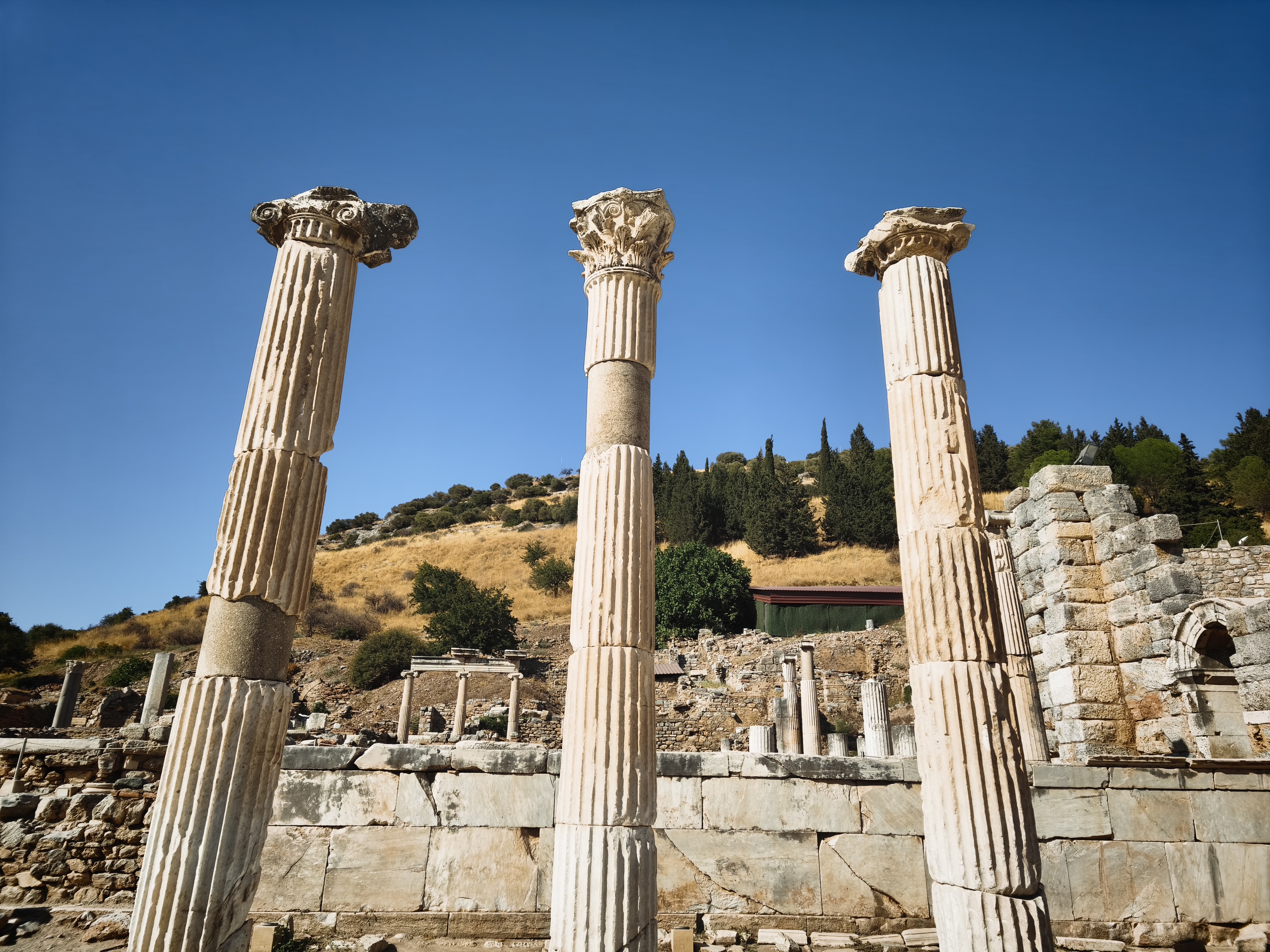
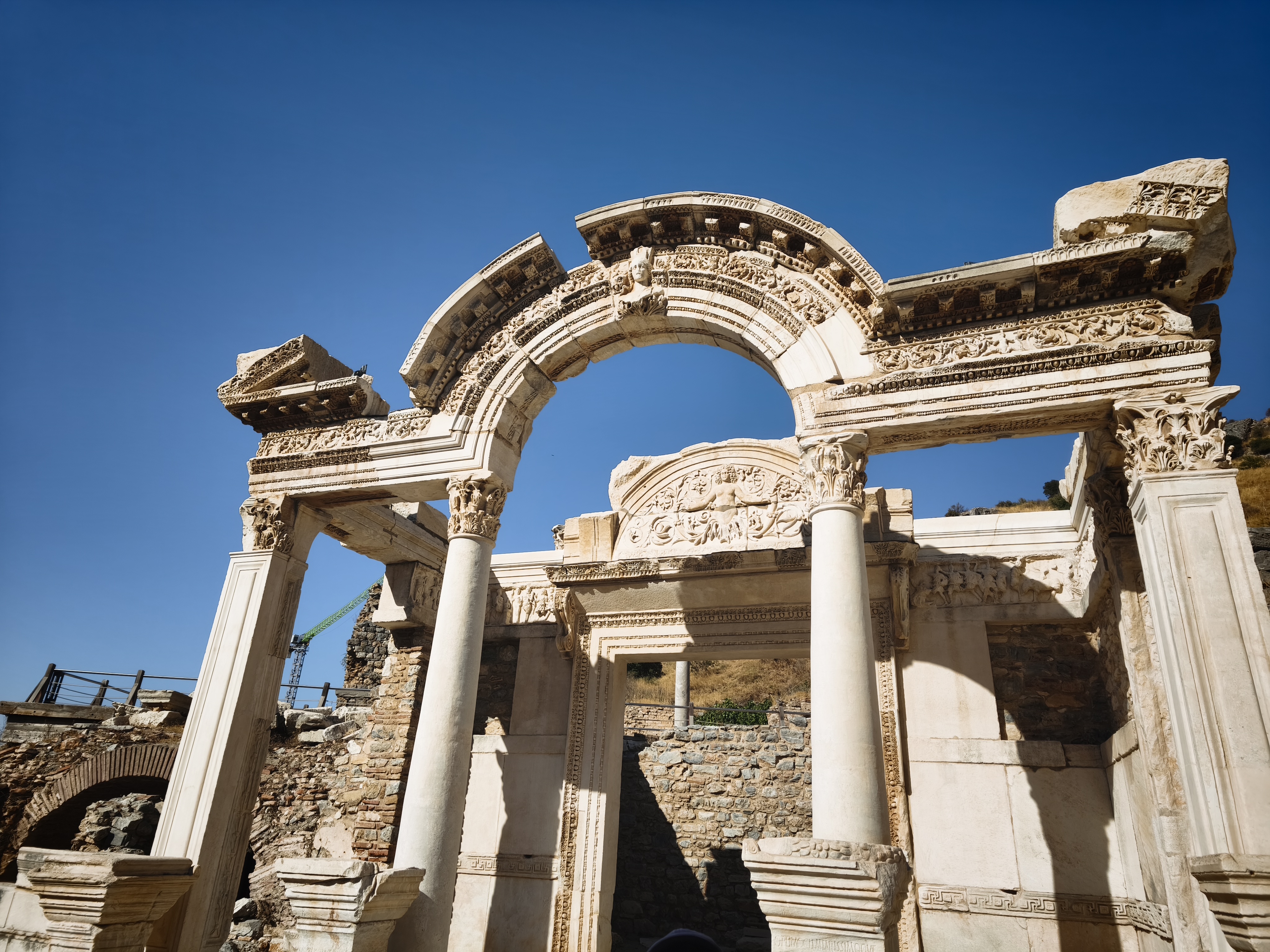
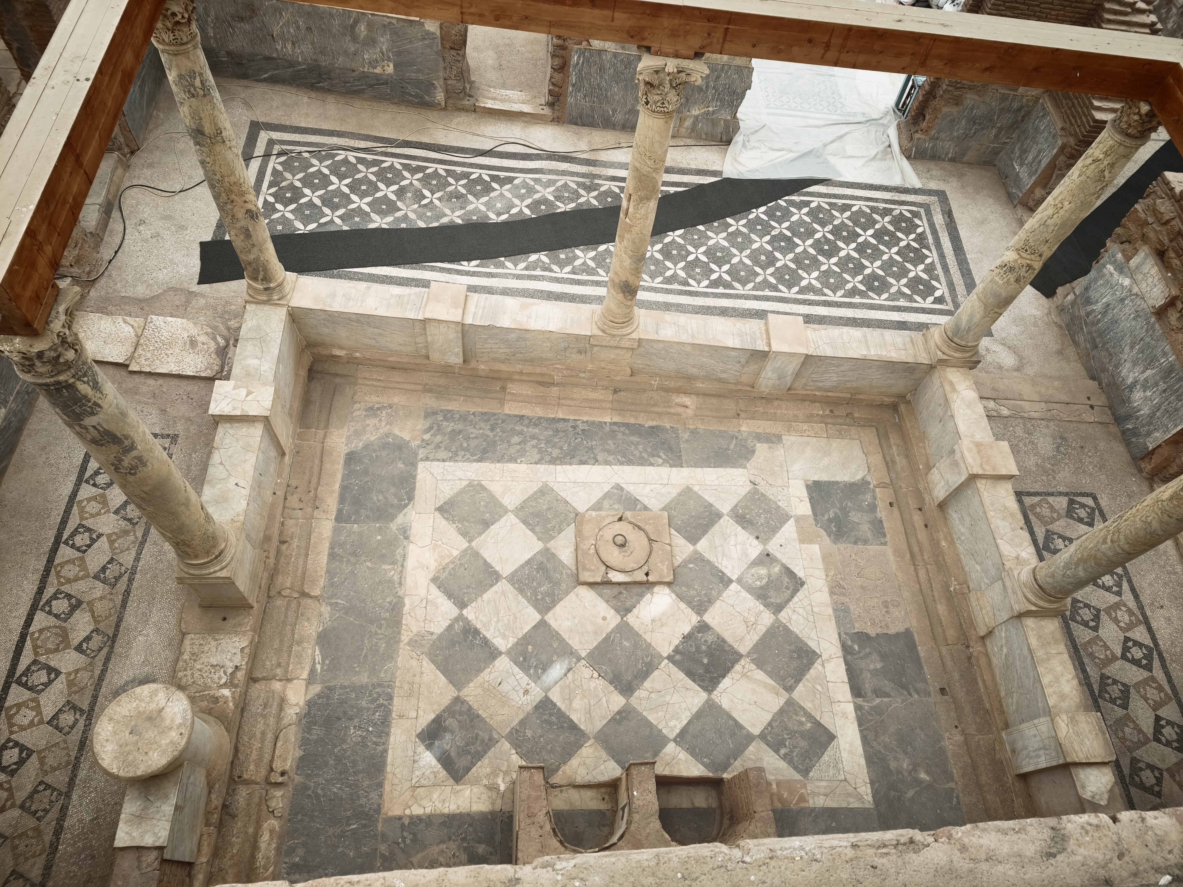
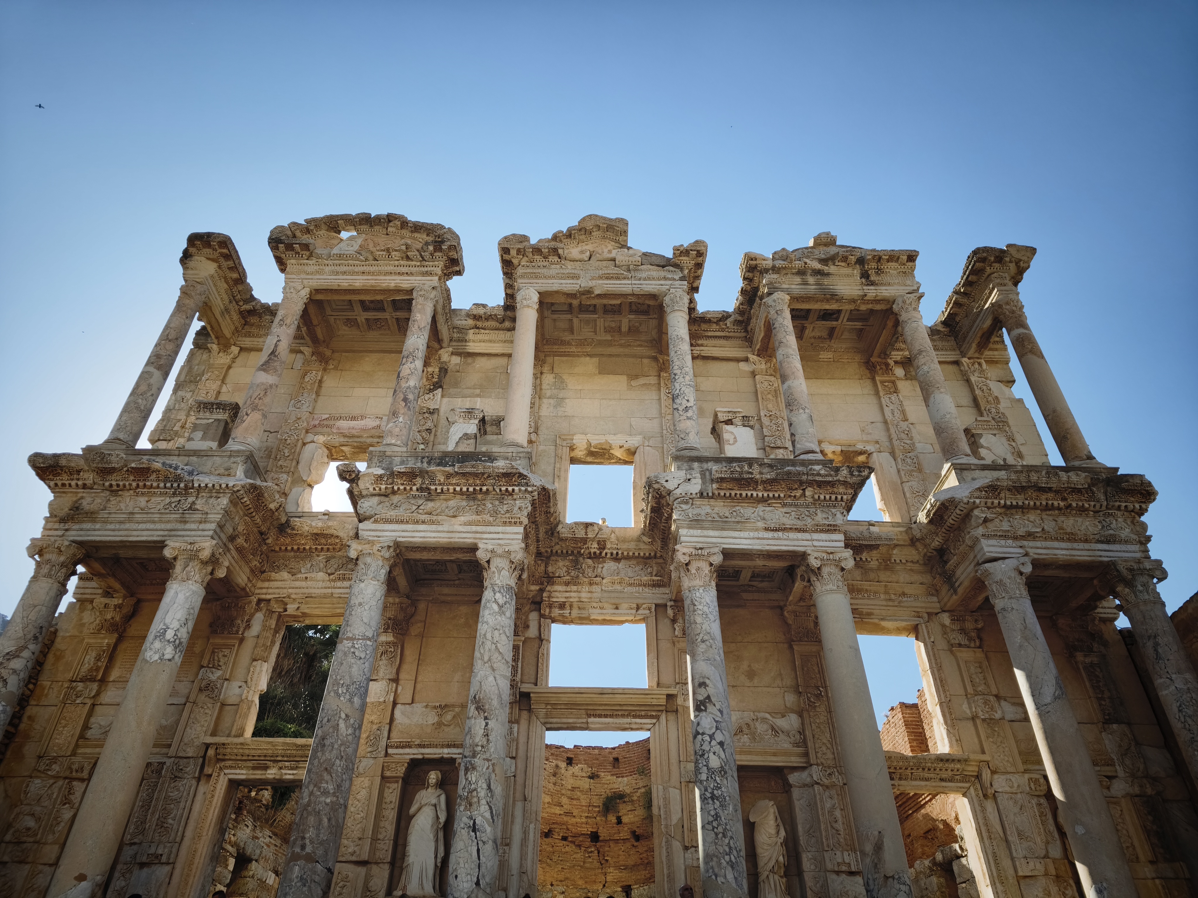
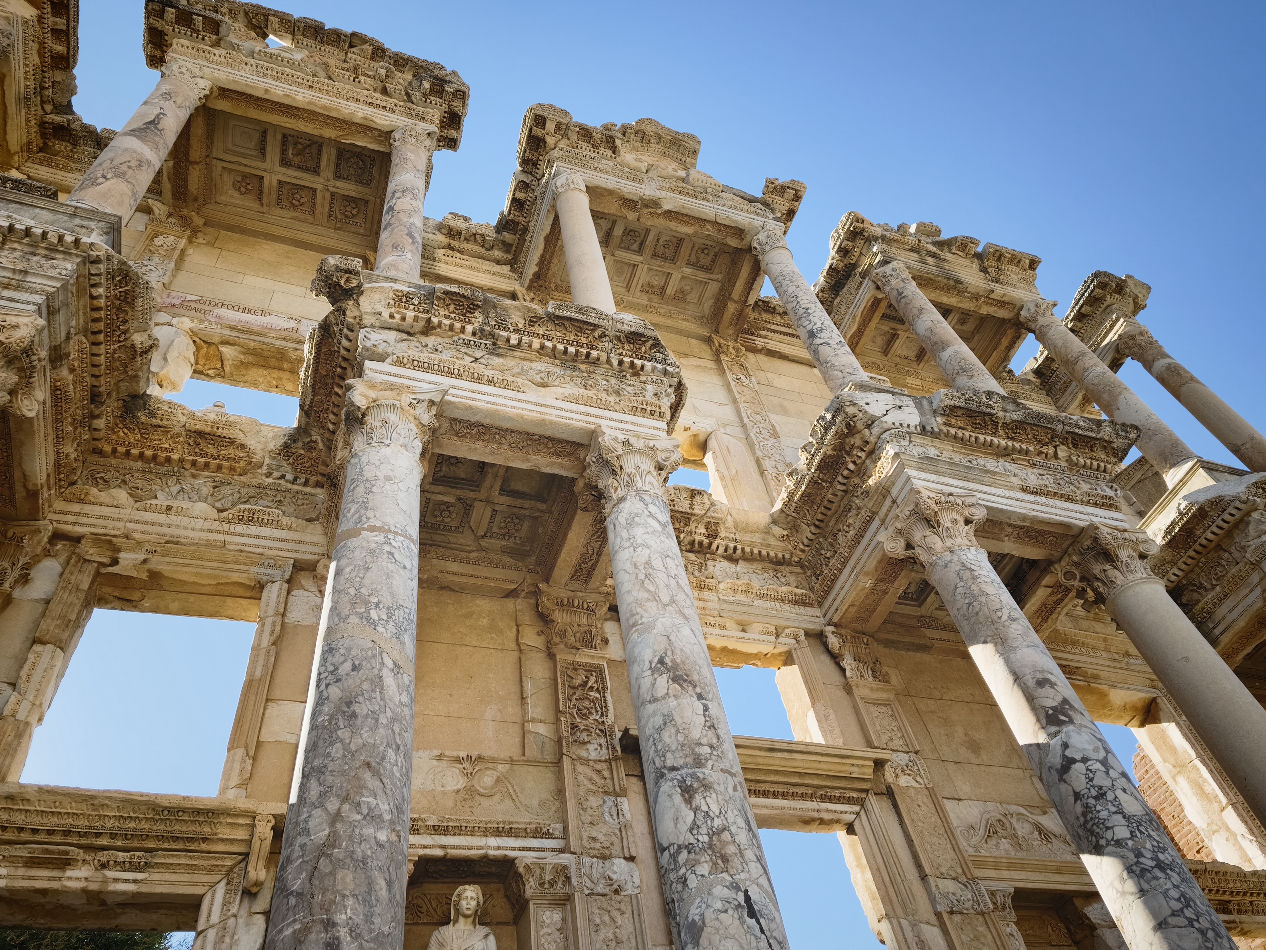
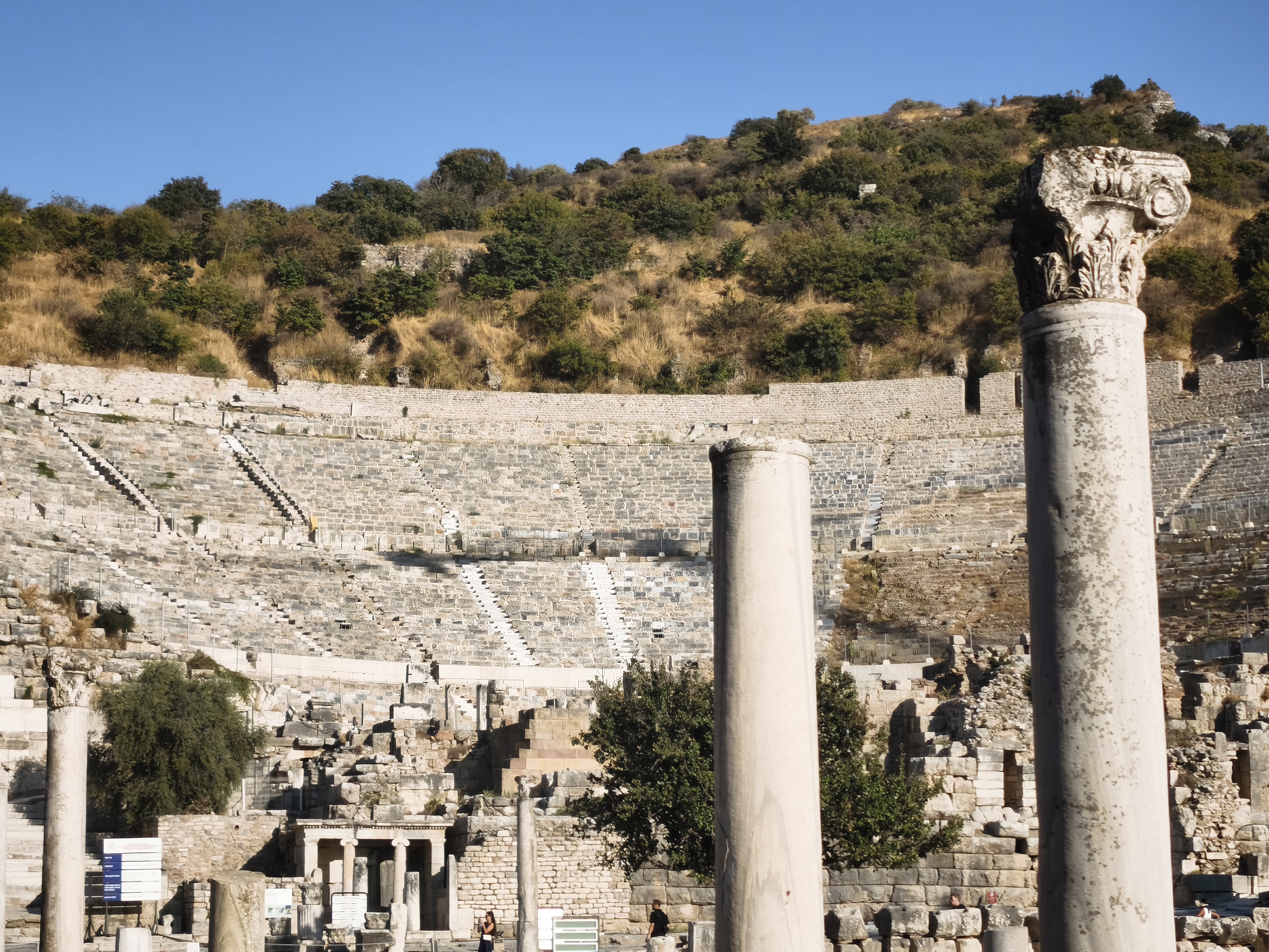
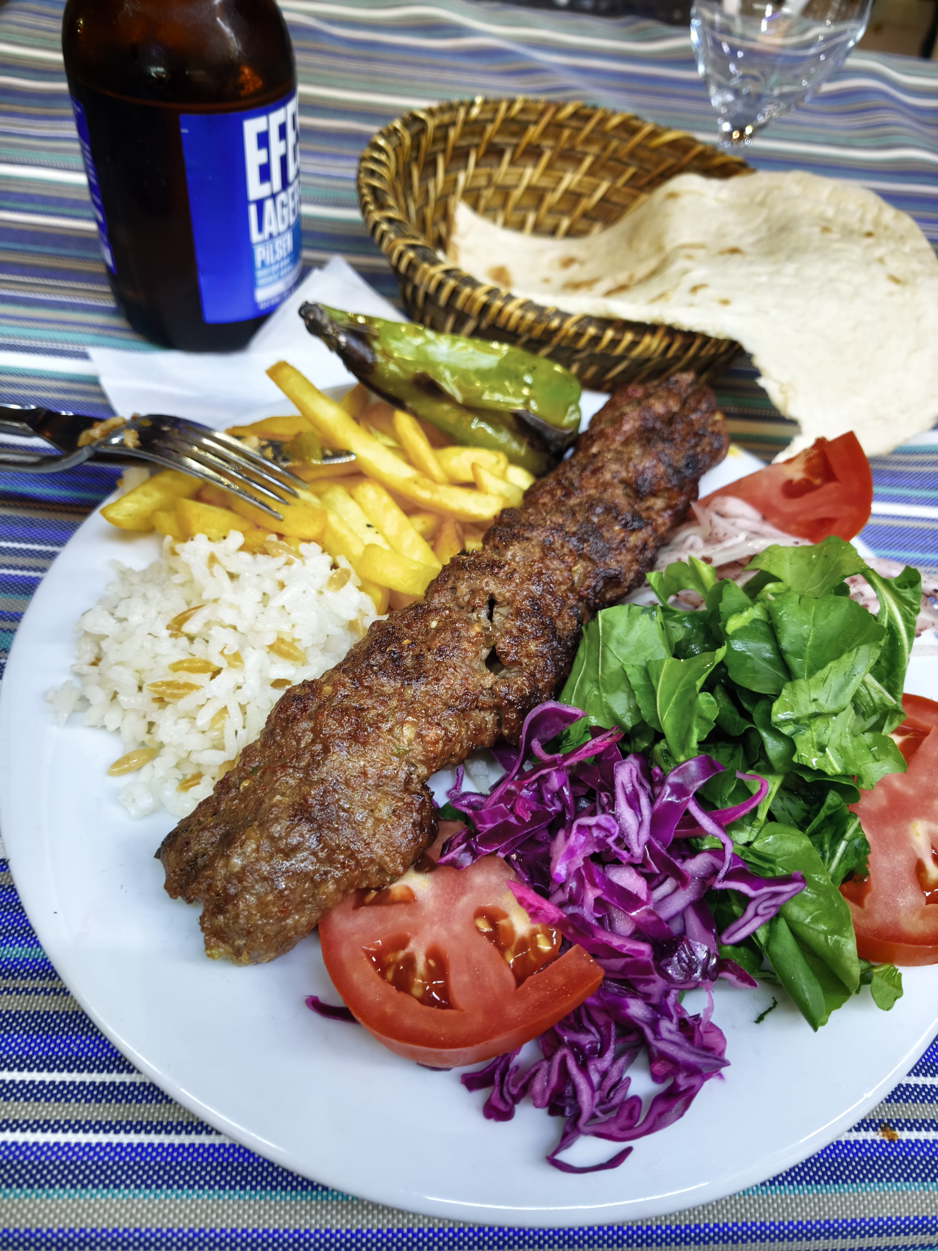
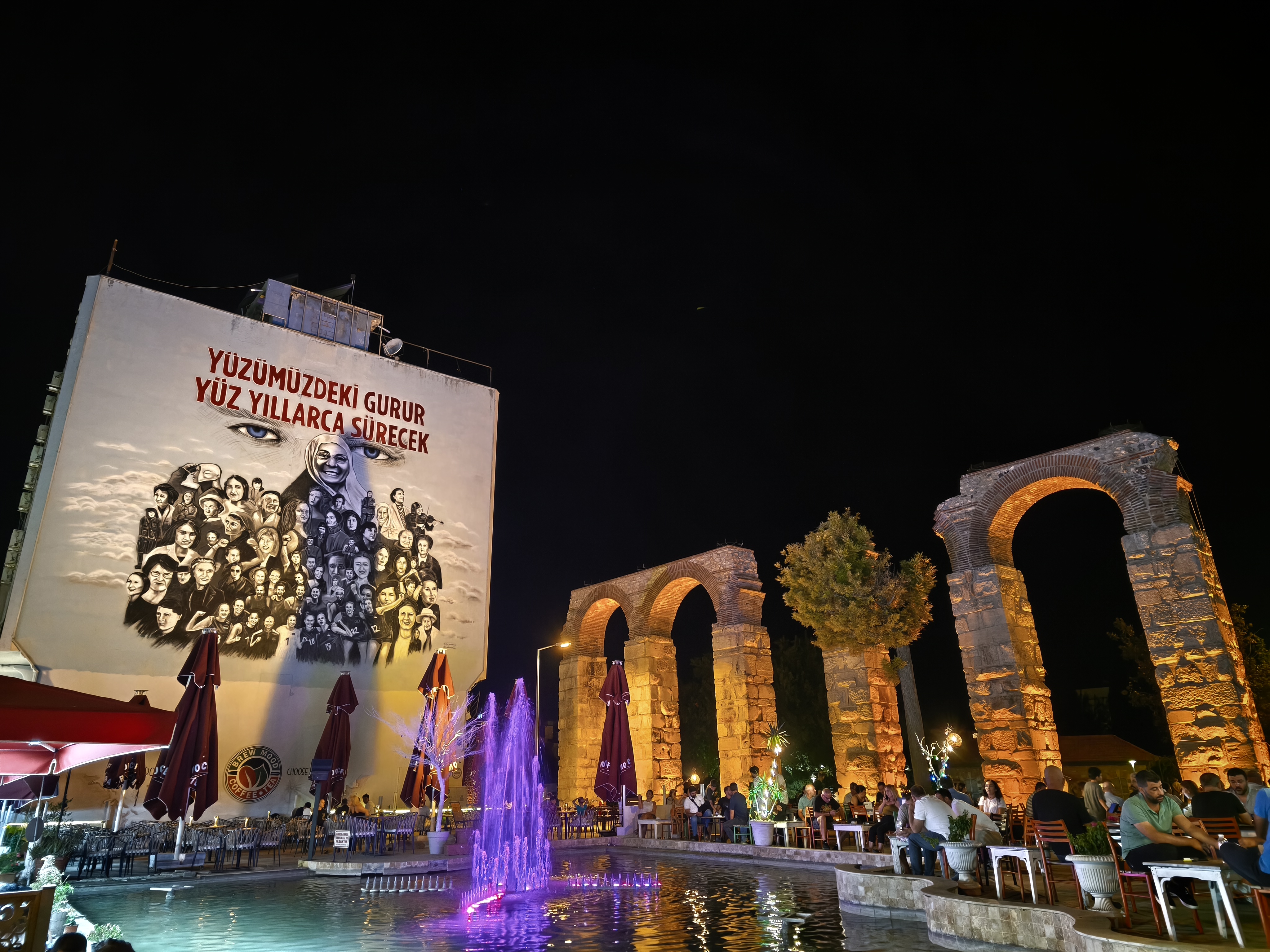
A final look at Pamukkale’s white terraces before taking rural roads through olive and fig orchards. A traditional agroecological setup providing shade and natural protection. On two separate occasions, farmers on their tractors wave at me to stop. Thinking I had made a mistake, I pull over—only to be offered handfuls of freshly picked figs! Arrival at the legendary site of Ephesus in the late afternoon. Impressive, though highly commercialized compared to more remote sites. By contrast, the neighboring town of Selçuk offers a delightfully authentic atmosphere.
Dernier regard sur les terrasses blanches de Pamukkale avant d’emprunter des routes rurales traversant vergers d’oliviers et de figuiers. Une association agroécologique traditionnelle offrant ombrage et protections naturelles. À deux reprises, des agriculteurs sur leurs tracteurs me font signe de m’arrêter. Pensant avoir commis une erreur, je m’arrête : c’était simplement pour m’offrir des poignées de figues fraîches cueillies à l’instant ! Arrivée sur le site légendaire d’Éphèse en fin d’après-midi. Impressionnant, bien que très commercial par rapport aux sites plus isolés. En revanche, la ville voisine de Selçuk offre une atmosphère authentique délicieuse.
Day #29: Selçuk – Alexandroupoli (Greece). Distance: 595 km (Road)
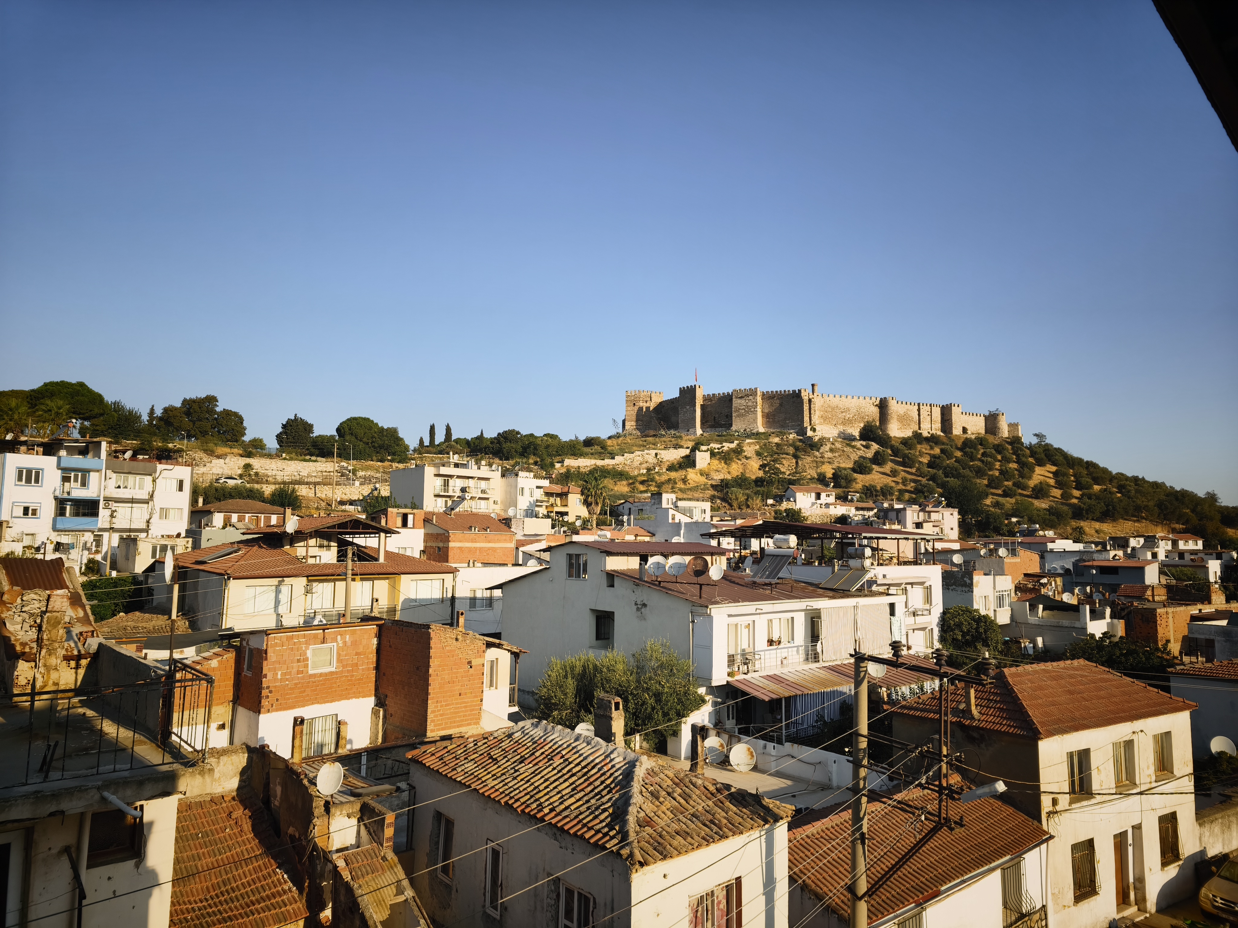
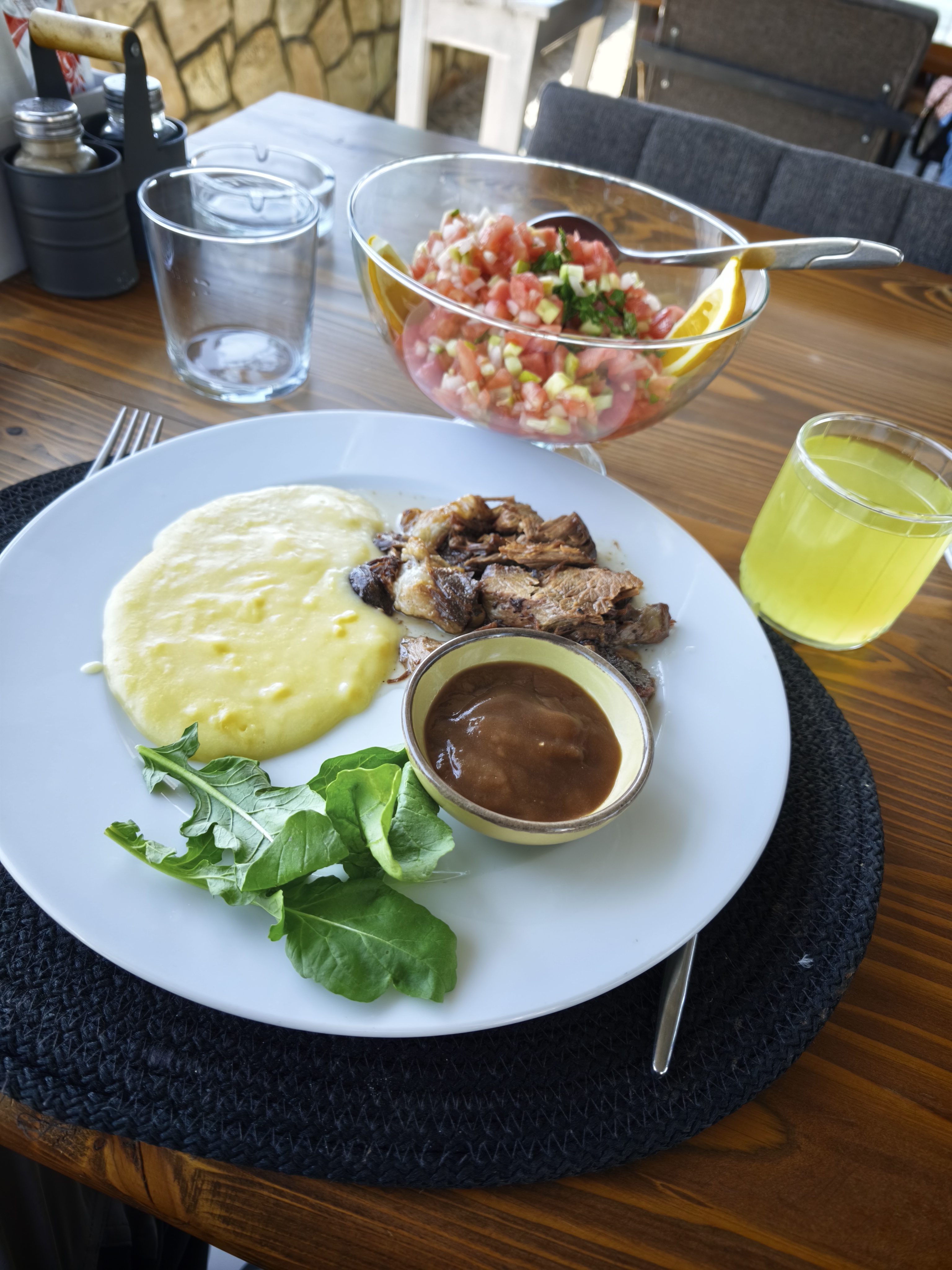
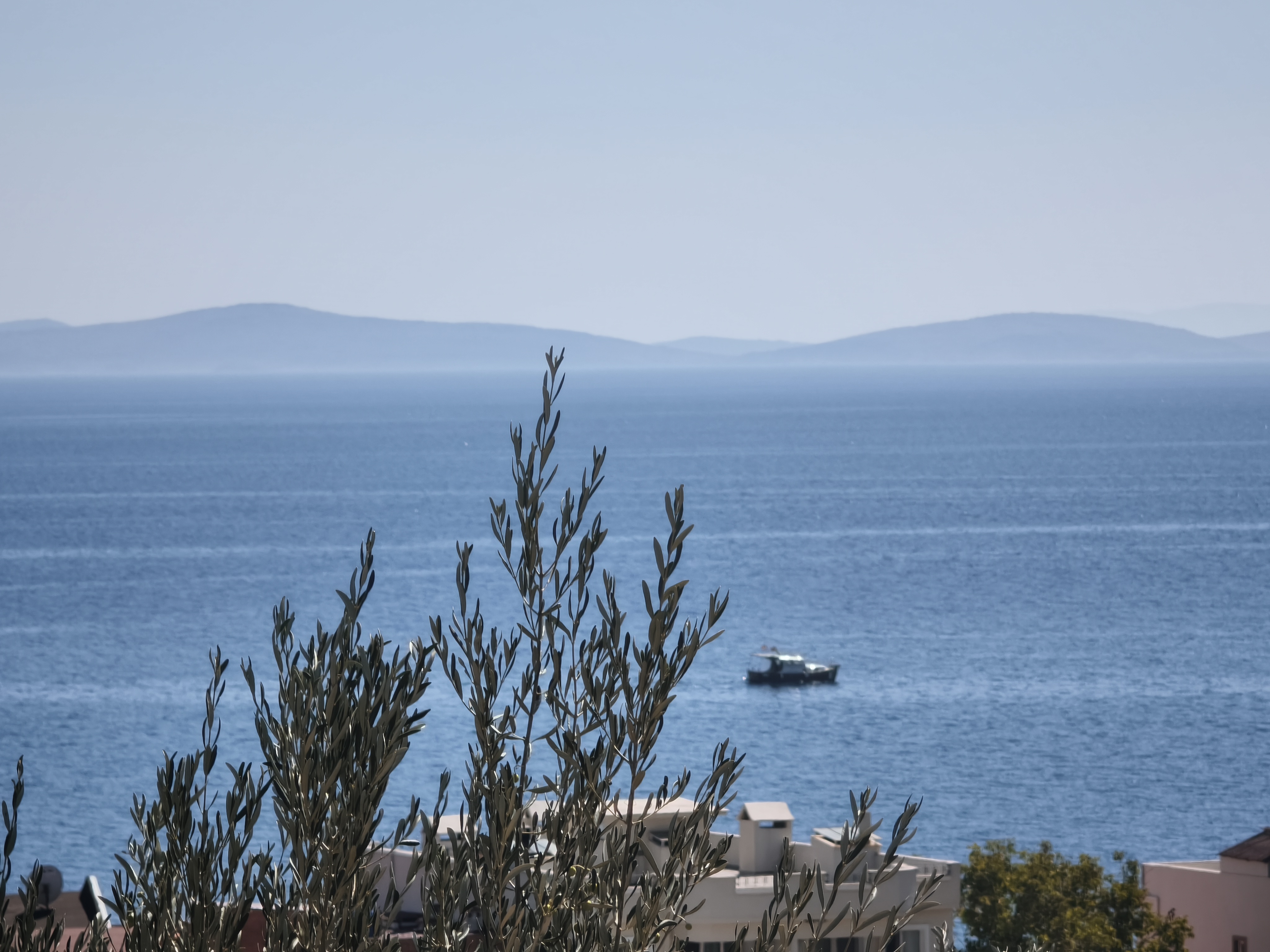

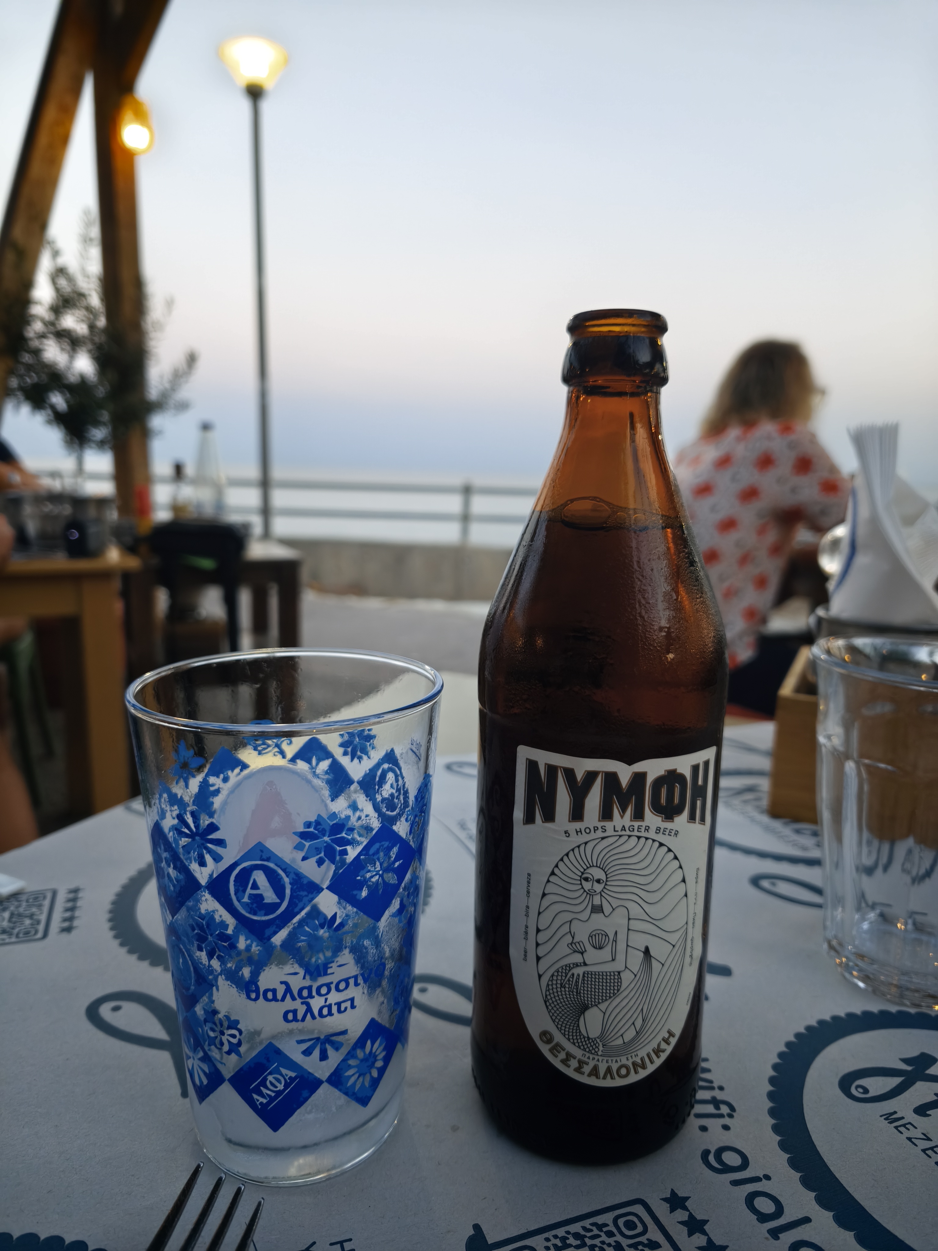
Breakfast facing the citadel of Selçuk. Then, a long highway sprint north across western Turkey in stifling heat. Highlight of the ride: crossing the Dardanelles Strait on the impressive 1915 Çanakkale suspension bridge.
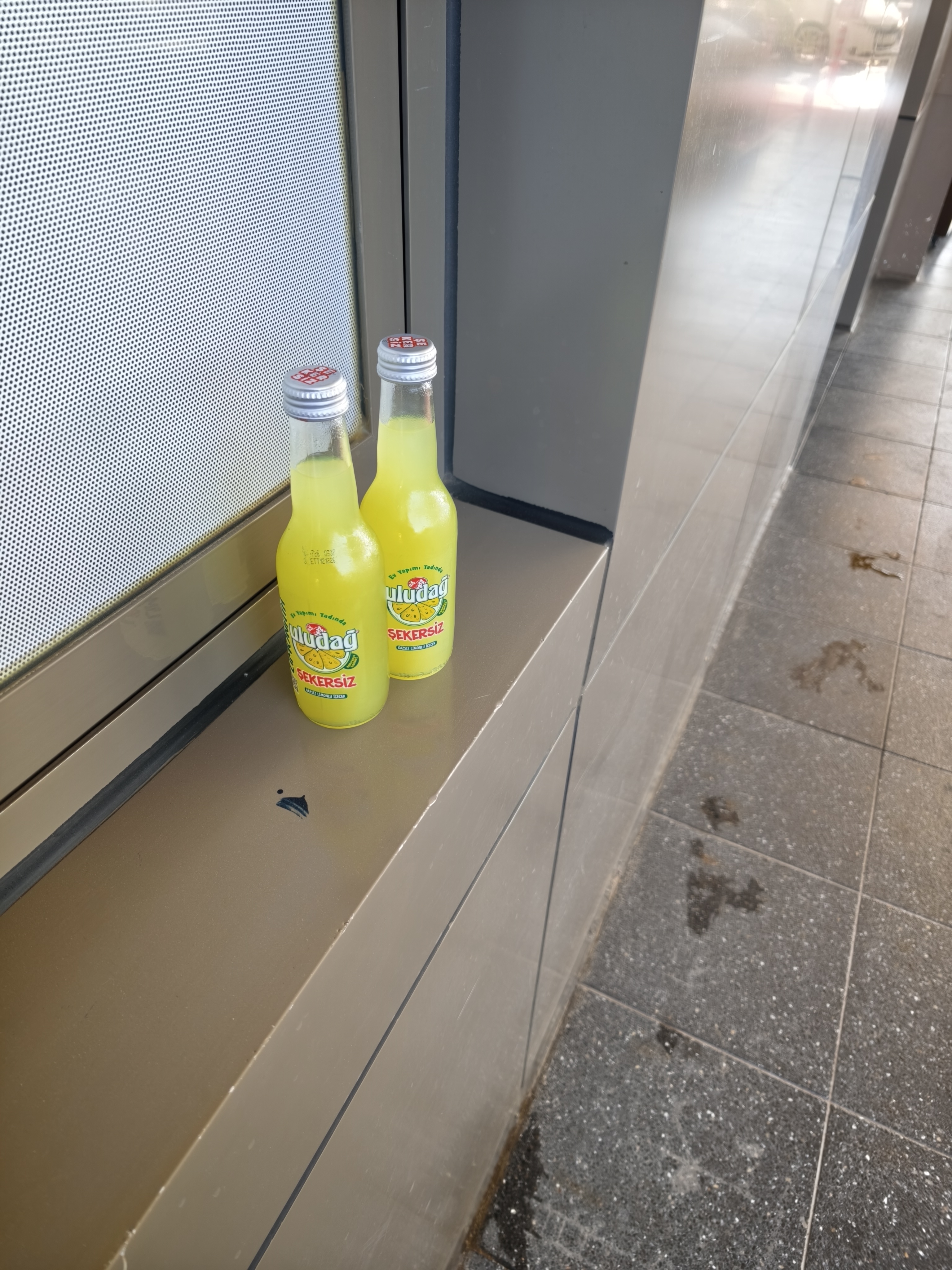
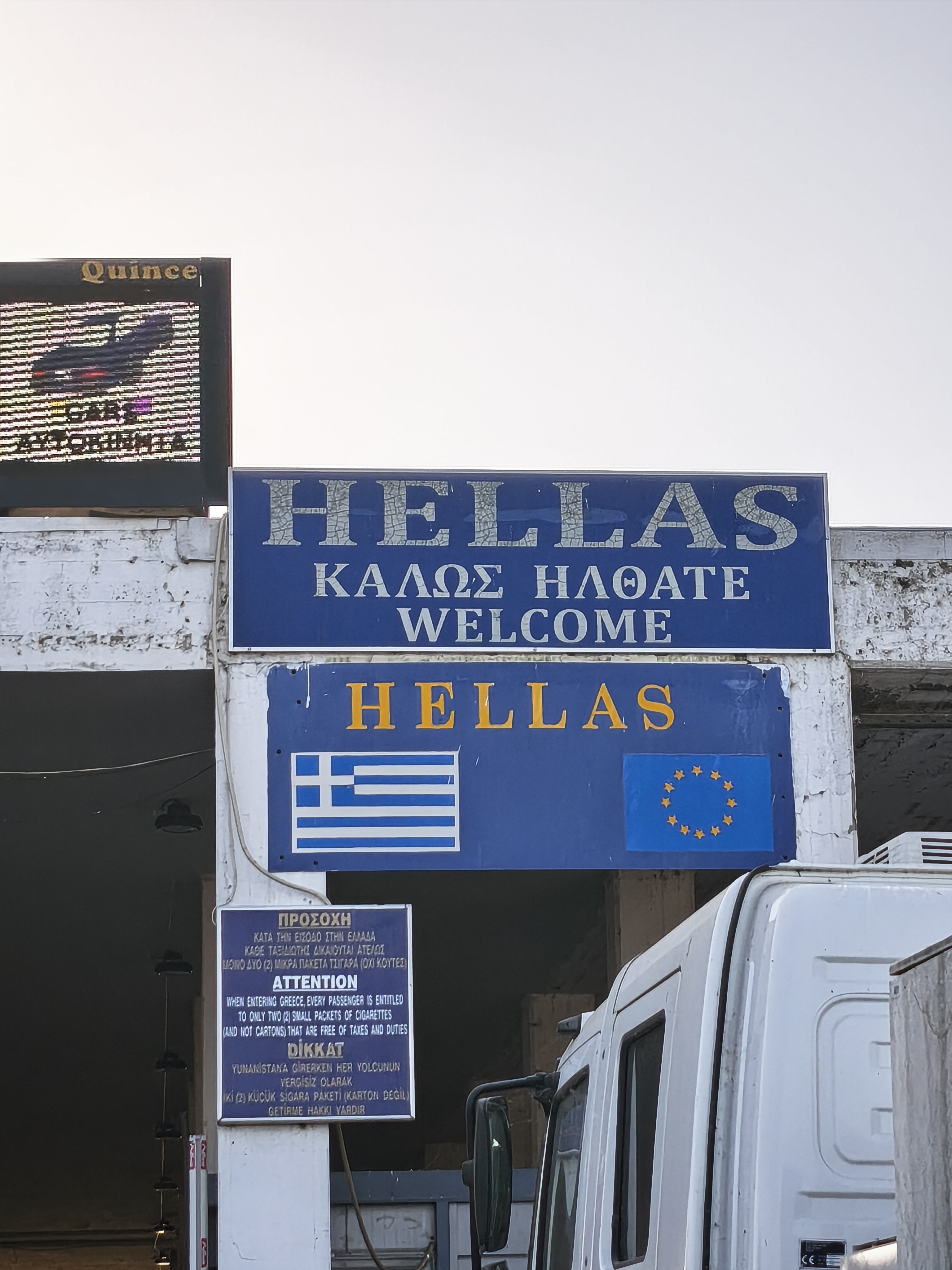
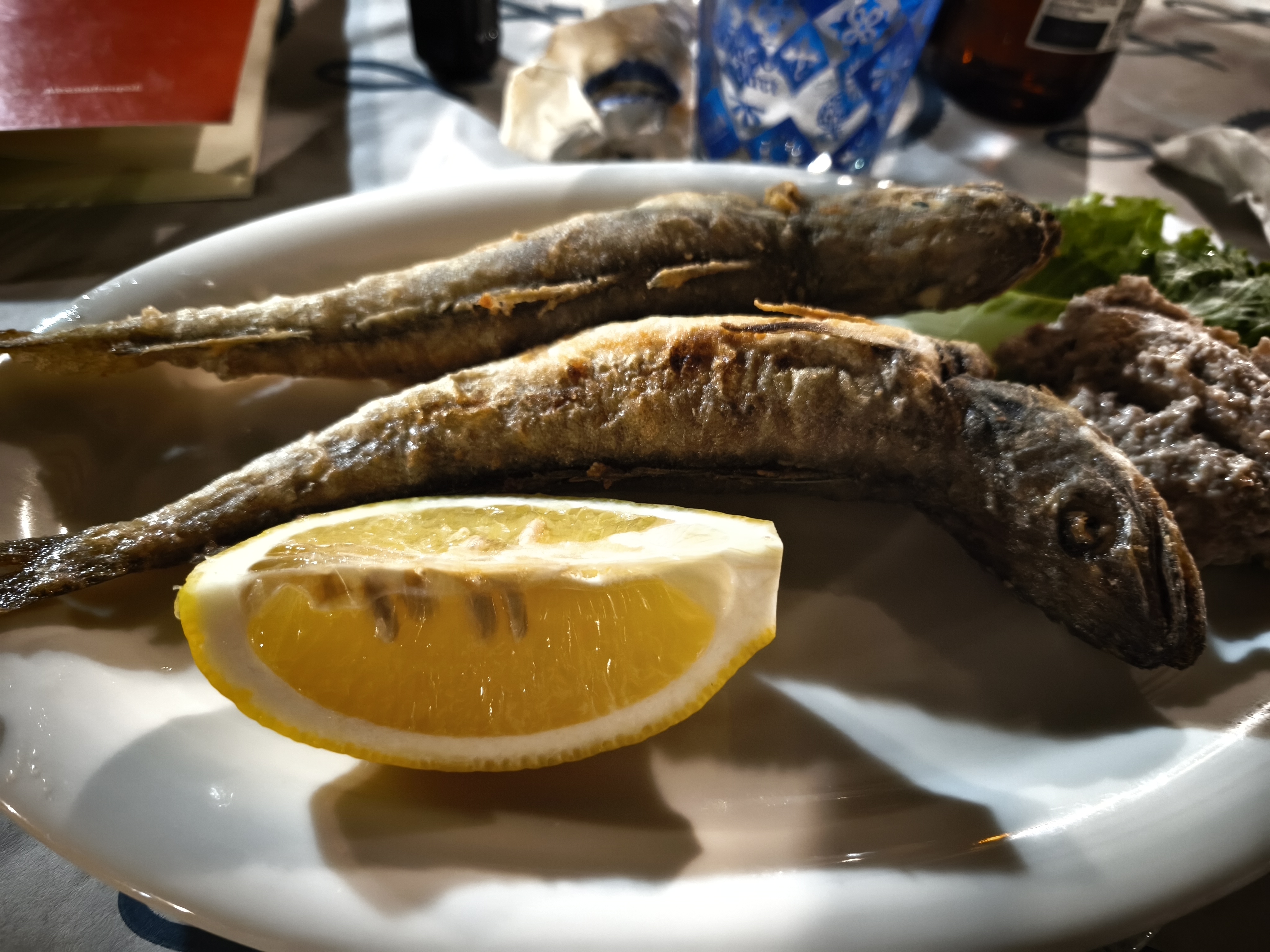
A wave of emotion hits me as I stop for my last two Turkish limonatas near the border. As I cross the border checkpoint out of Turkey, a tear falls inside my helmet. What an extraordinary 25 days… Consolation that evening: a feast of fresh fish and cold beer on the Alexandroupoli waterfront. On the flip side, refueling the bike suddenly jumps from 21 to 36 euros.
Petit-déjeuner face à la citadelle de Selçuk. Puis, longue remontée autoroutière à travers l’ouest turc sous une chaleur étouffante. Moment fort du trajet : la traversée du détroit des Dardanelles sur l’impressionnant pont suspendu 1915 Çanakkale.
Une vague d’émotion m’assomme alors que je m’arrête pour boire mes deux dernières limonatas turques près de la frontière. En franchissant le poste frontière pour quitter la Turquie, une larme coule sous le casque. Quels 25 jours extraordinaires… Consolation le soir même : festin de poissons frais et bière fraîche sur le front de mer d’Alexandroupoli. Par contre, le plein d’essence de la moto bascule subitement de 21 à 36 euros.
Part III: The Return – From Greece to Rabastens (Days 30 to 33) – 1,975 km
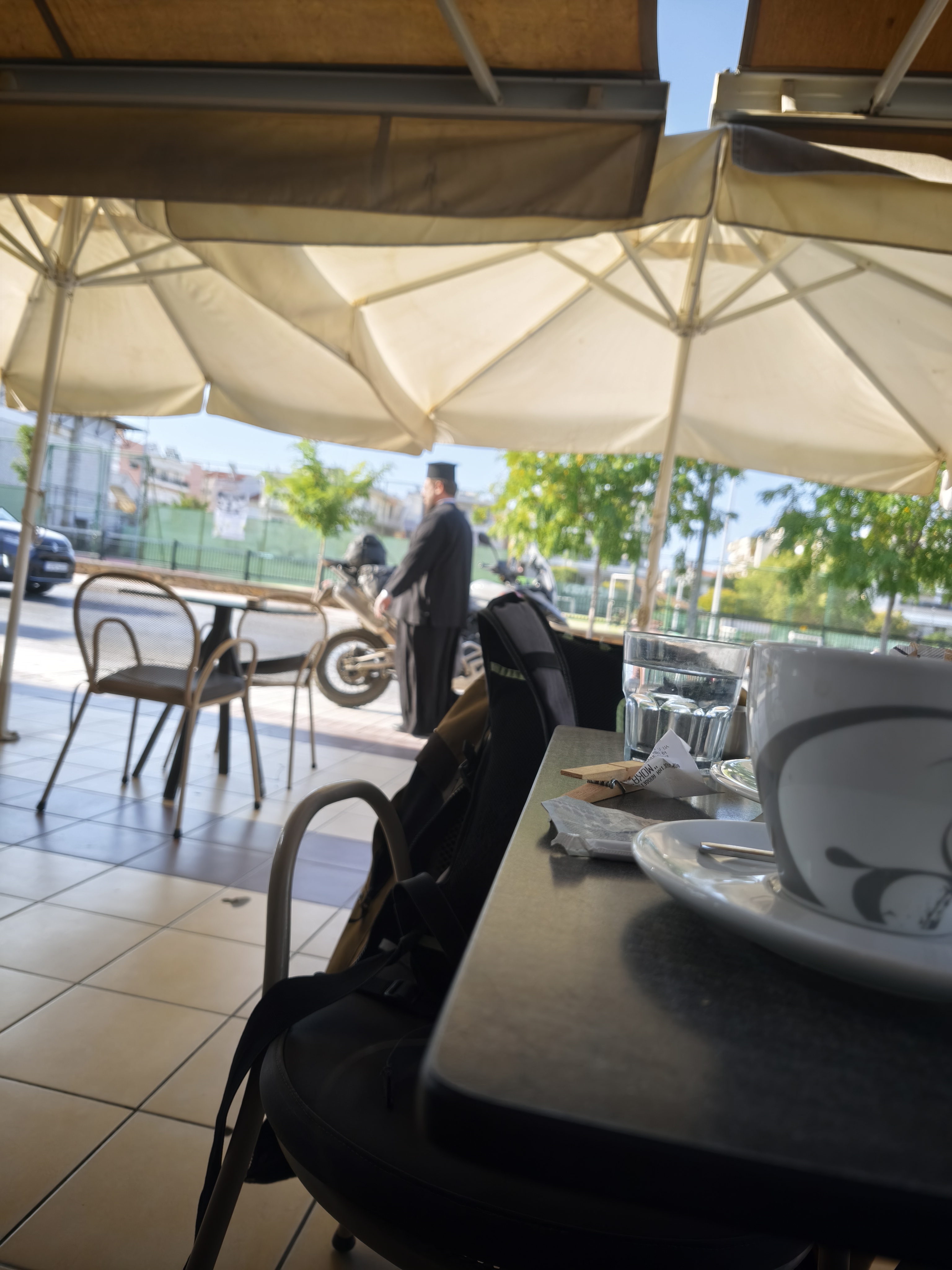
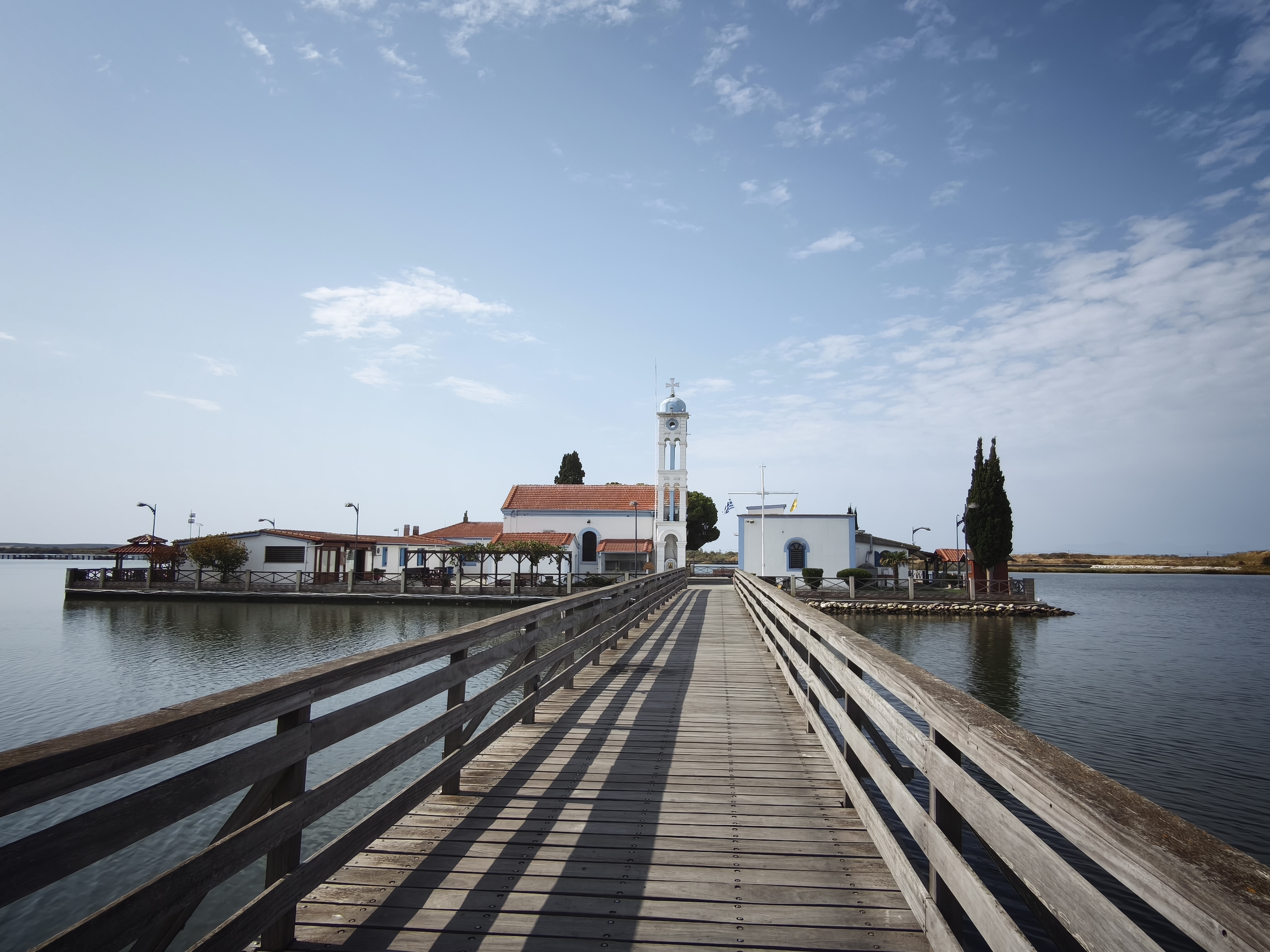
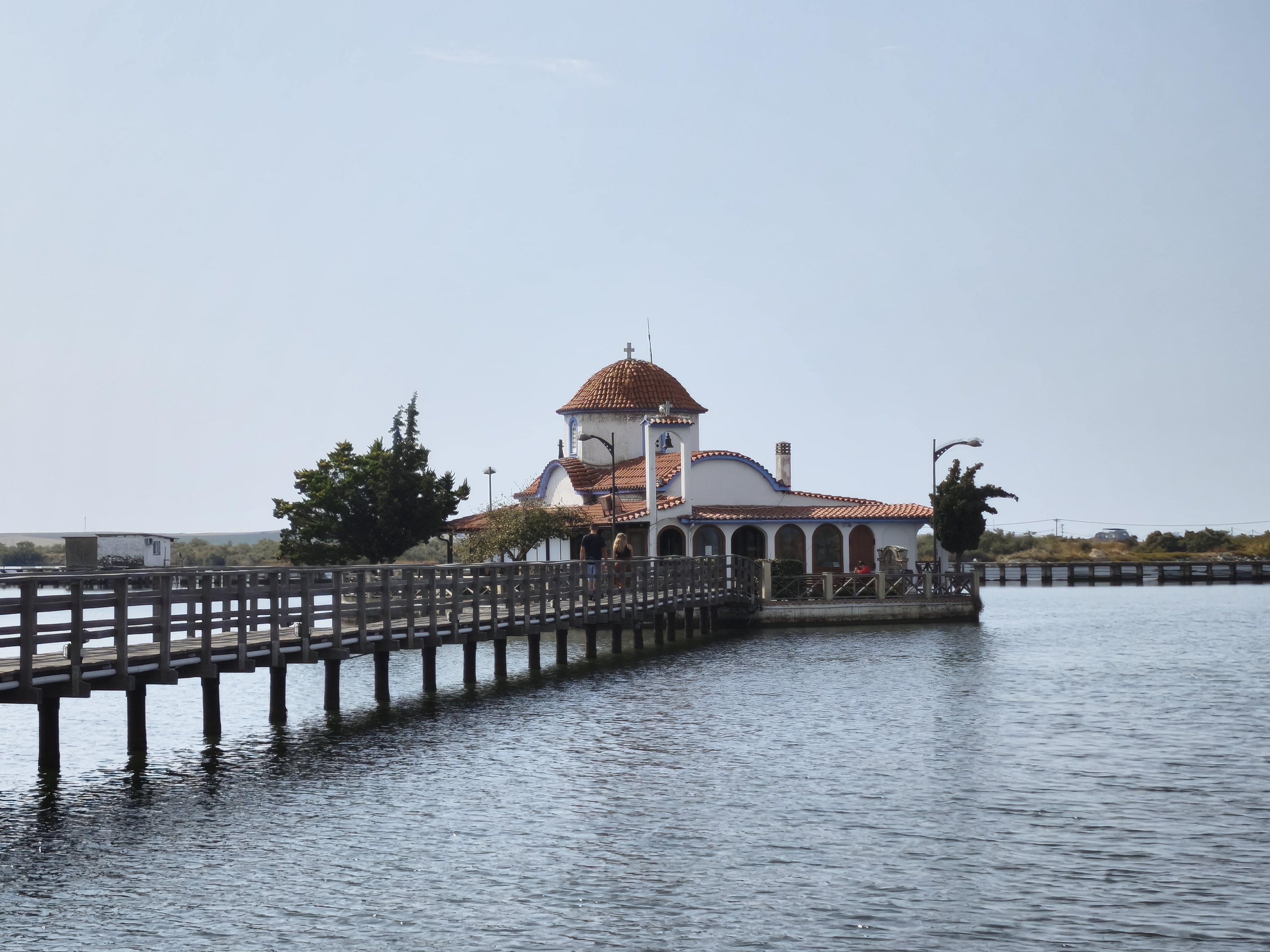
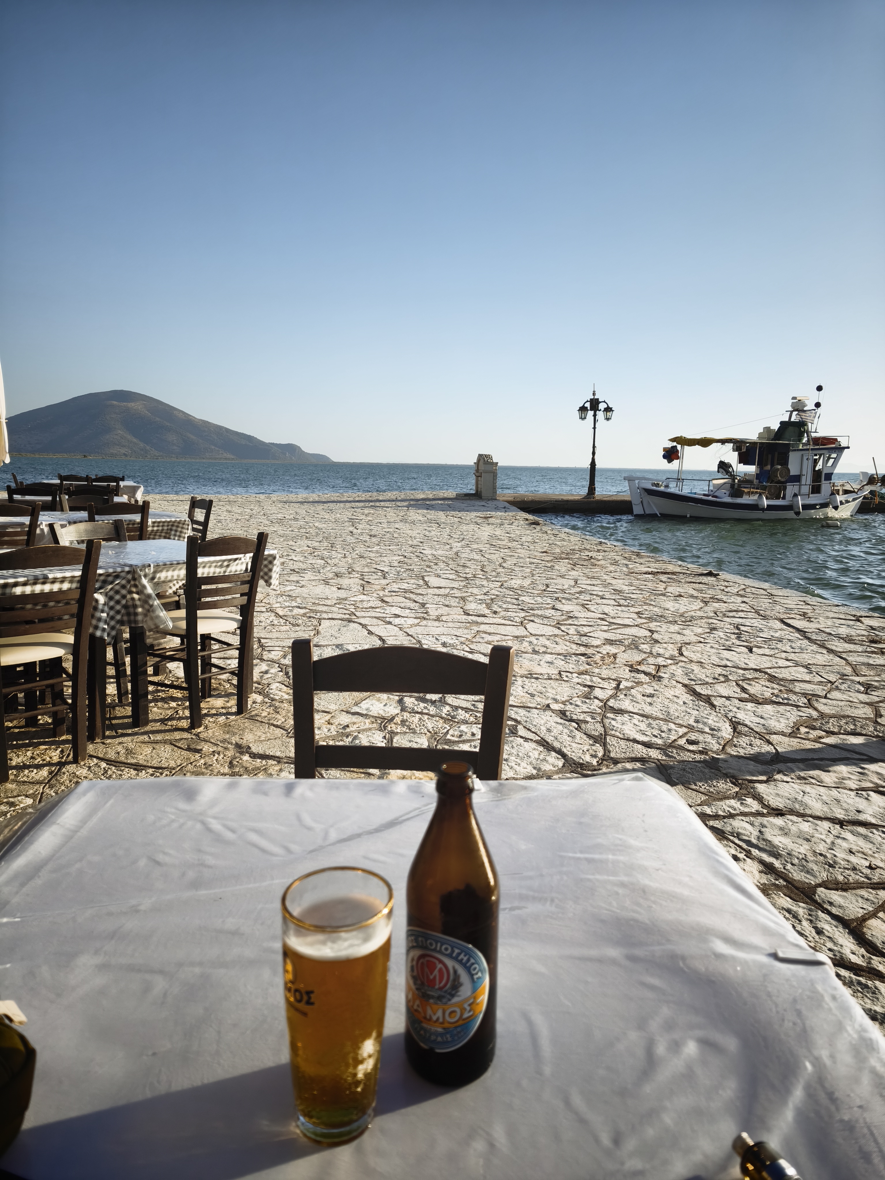
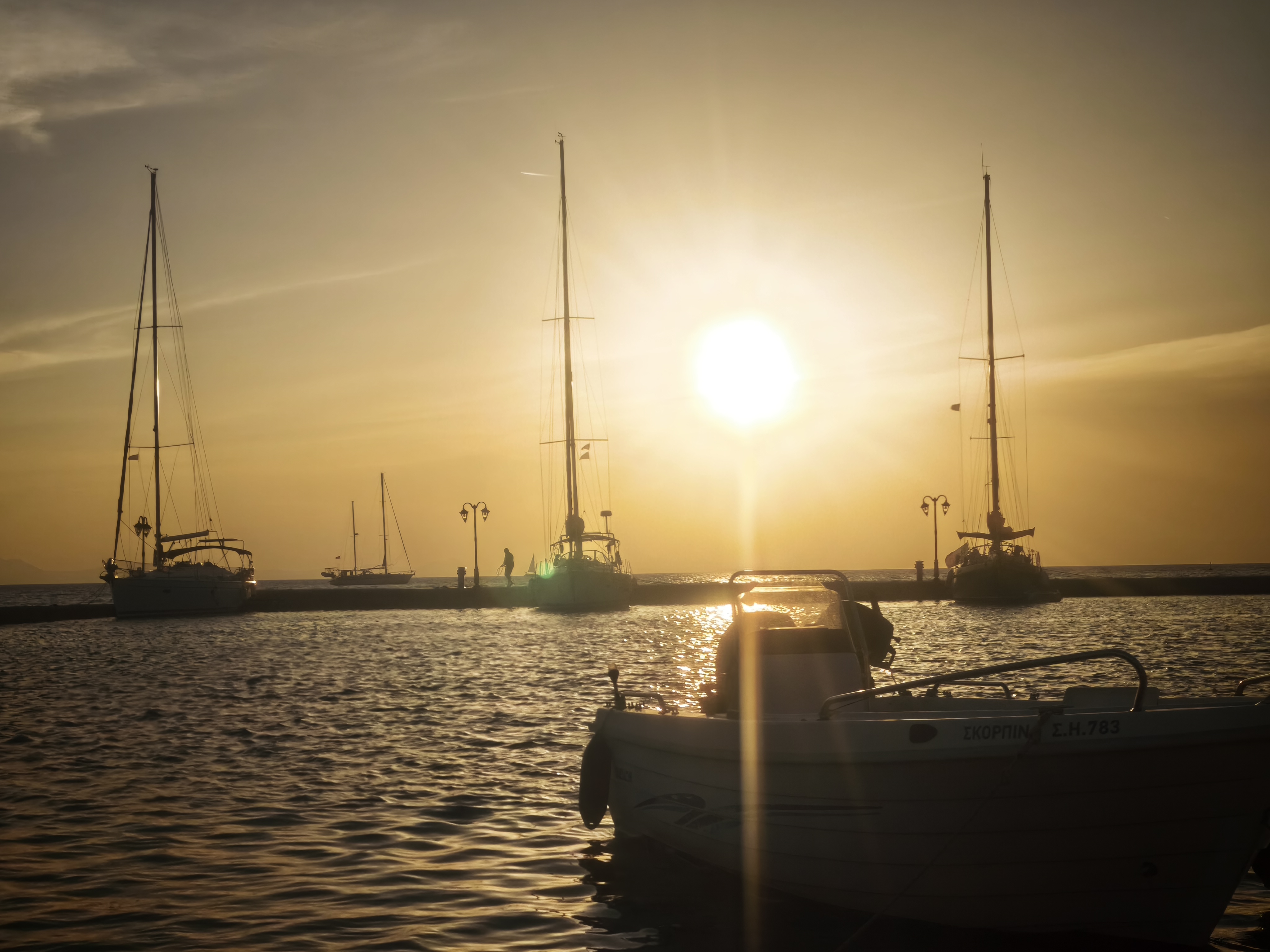
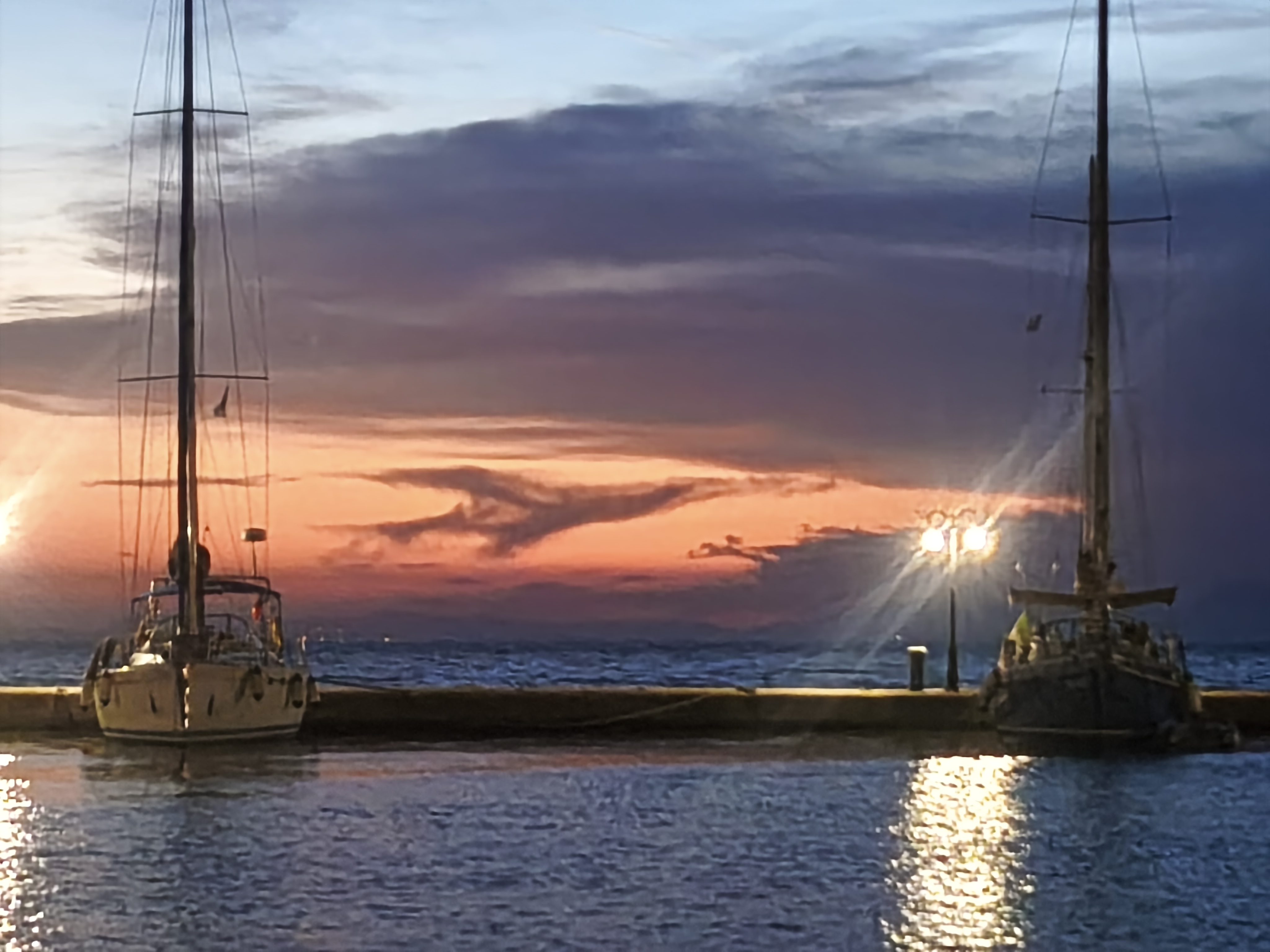
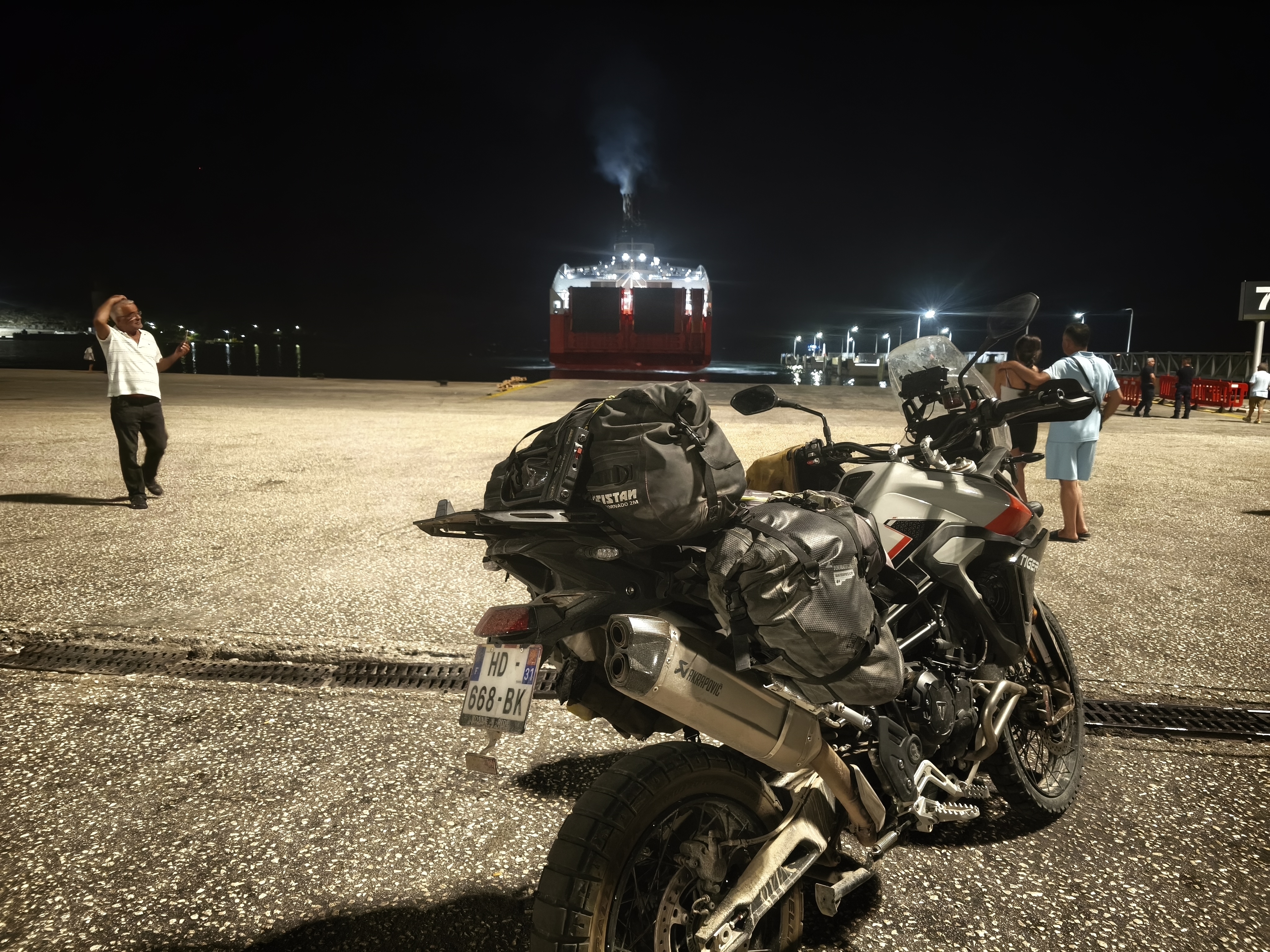
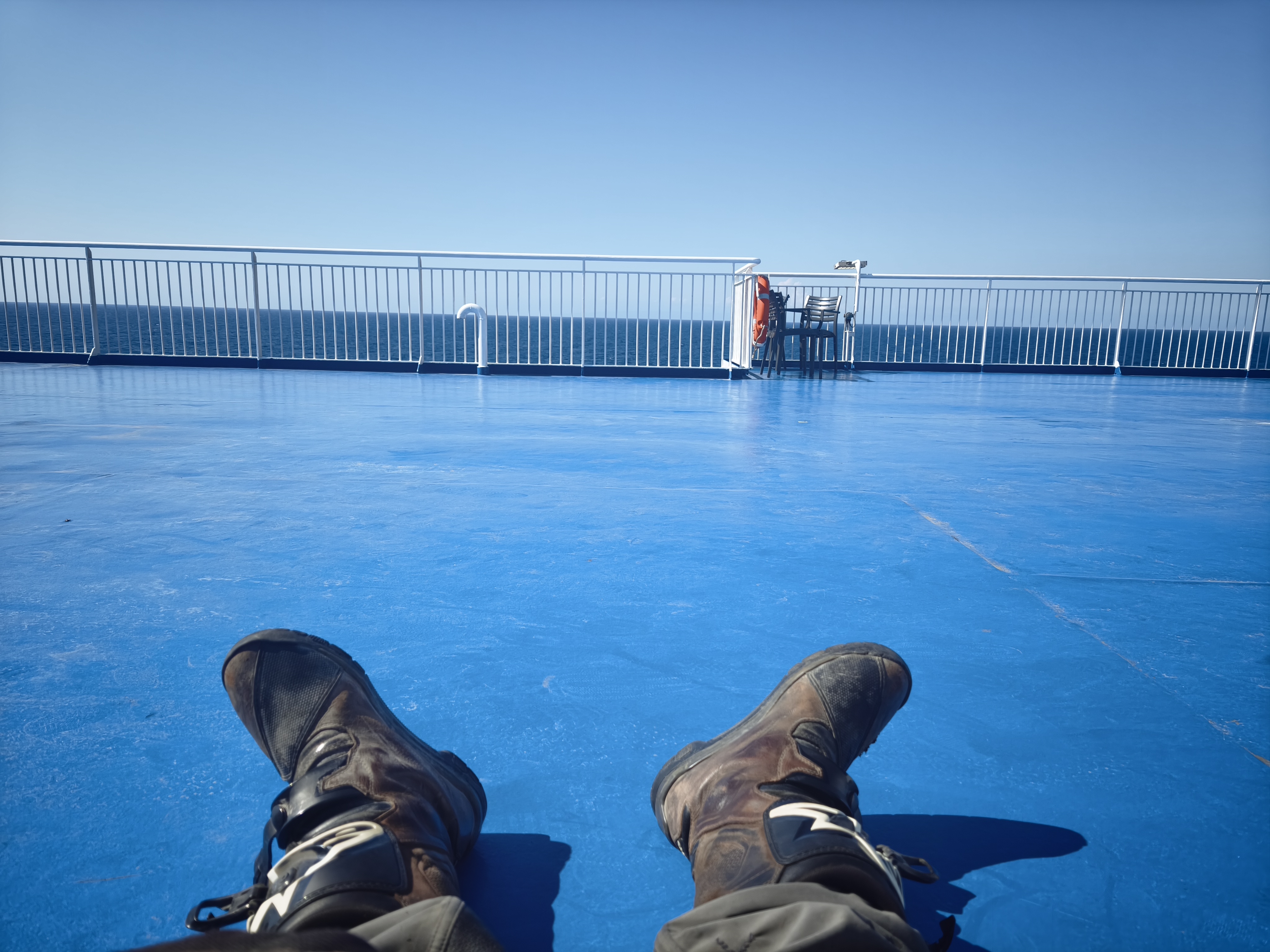
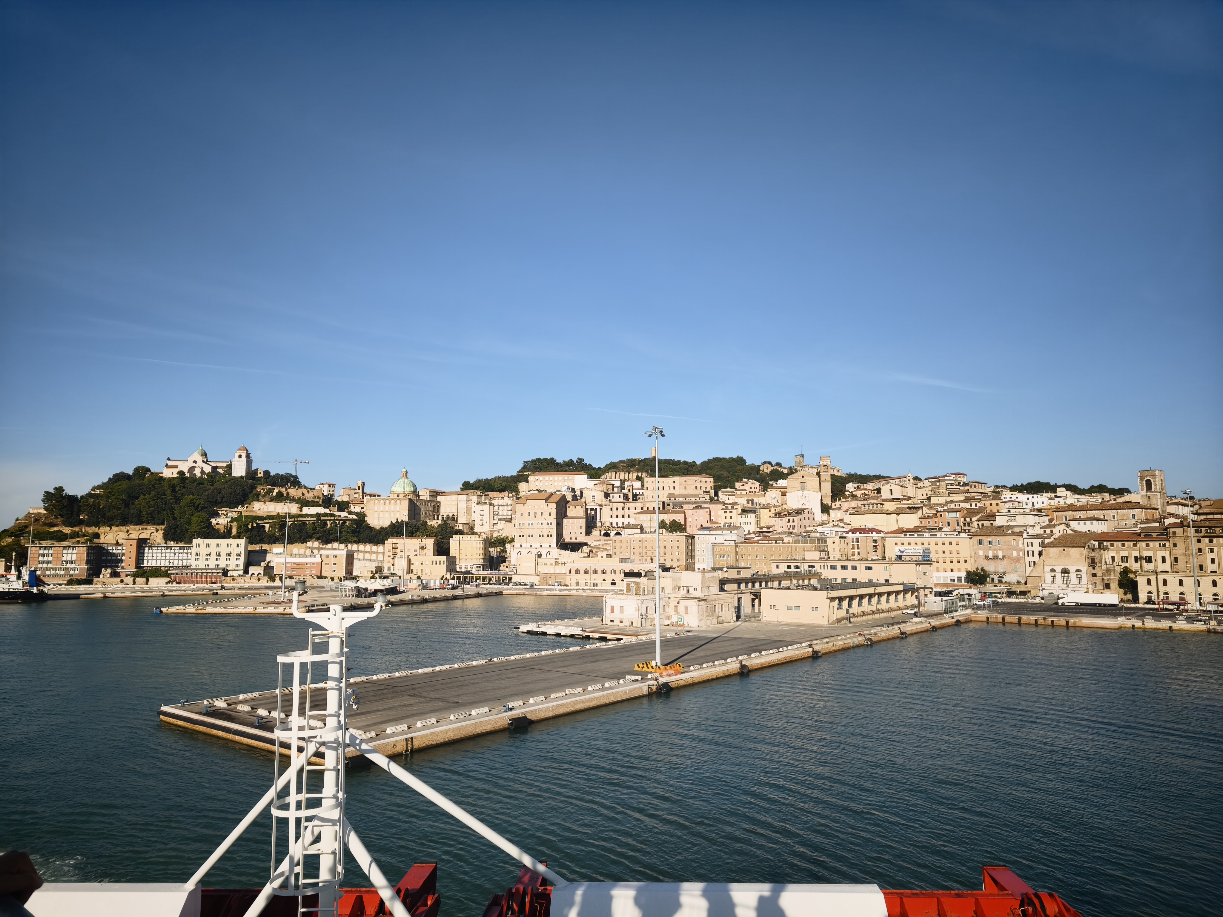
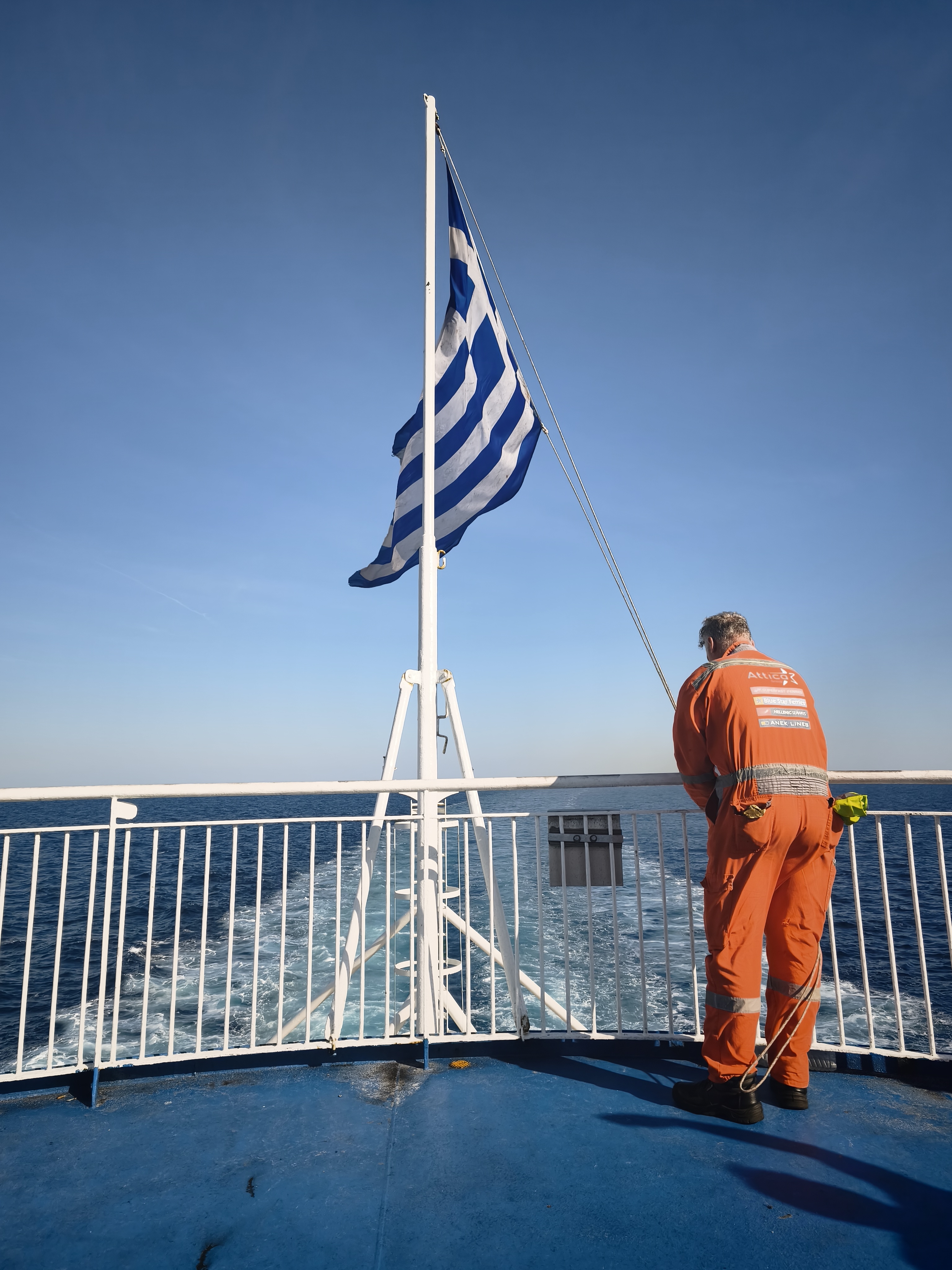
After getting the bike blessed by an Orthodox priest met at a gas station, it’s time to launch the « Hellas Express » leg, crossing Greece from east to west. Key moments include a morning stop at the floating monastery of Agios Nikolaos in Porto Lagos, and a sunset break in the tiny fishing port of Sagiada on the Albanian border. In between: seven hours of fast riding on major highways, a time usually ripe for deep reflection, hands gripped to the bars and head encased in a carbon-fiber shell. Fresh fish and beer with Corfu in sight, before boarding a 16-hour ferry ride across the Adriatic.
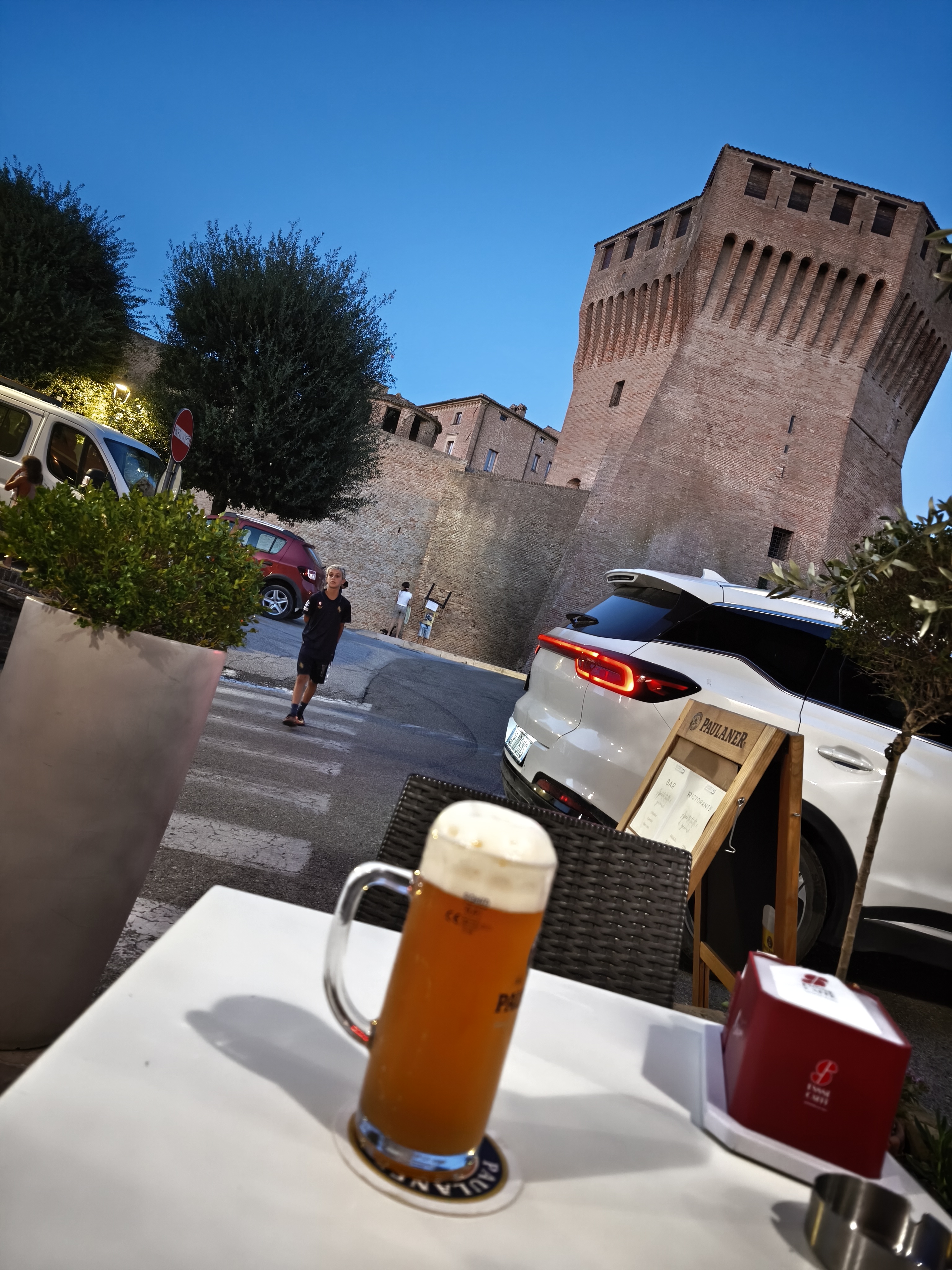
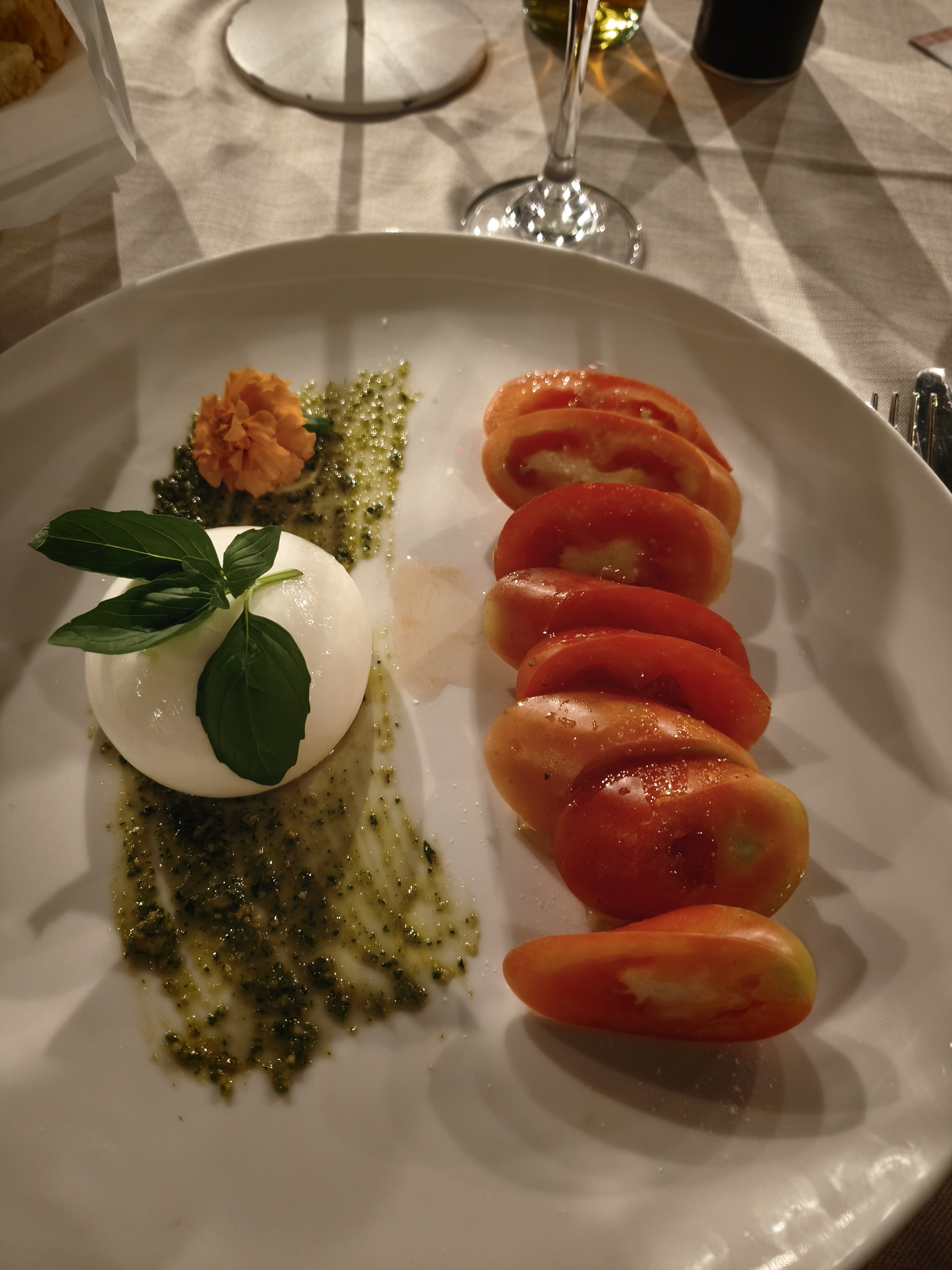
Back in Italy, making tracks for the fortified village of Mondavio. What a joy to reconnect with Italian gastronomy: a crisp, cold Moretti and a plate of tacconi allo sgagg (fresh pasta made with fava bean flour)!
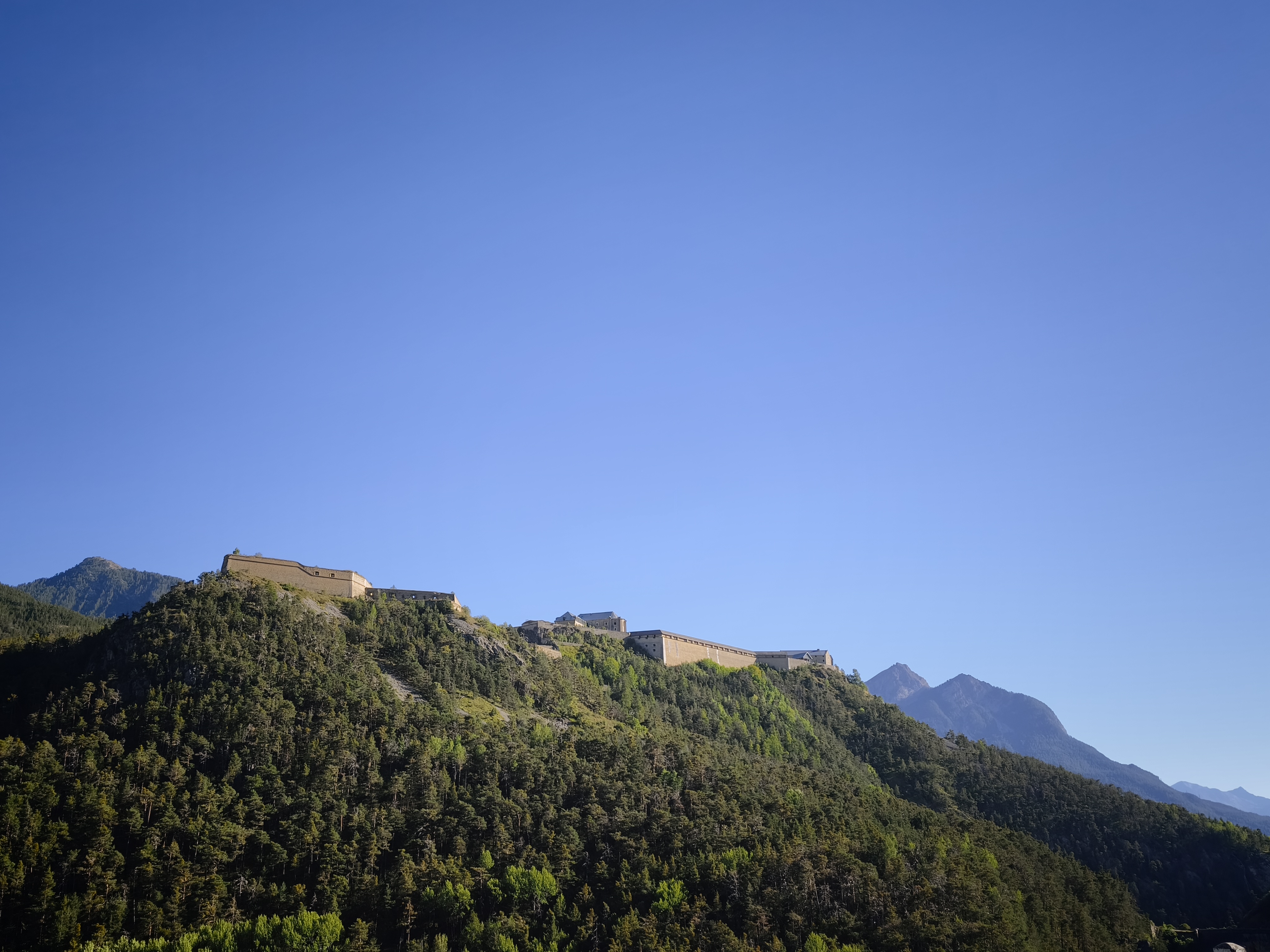
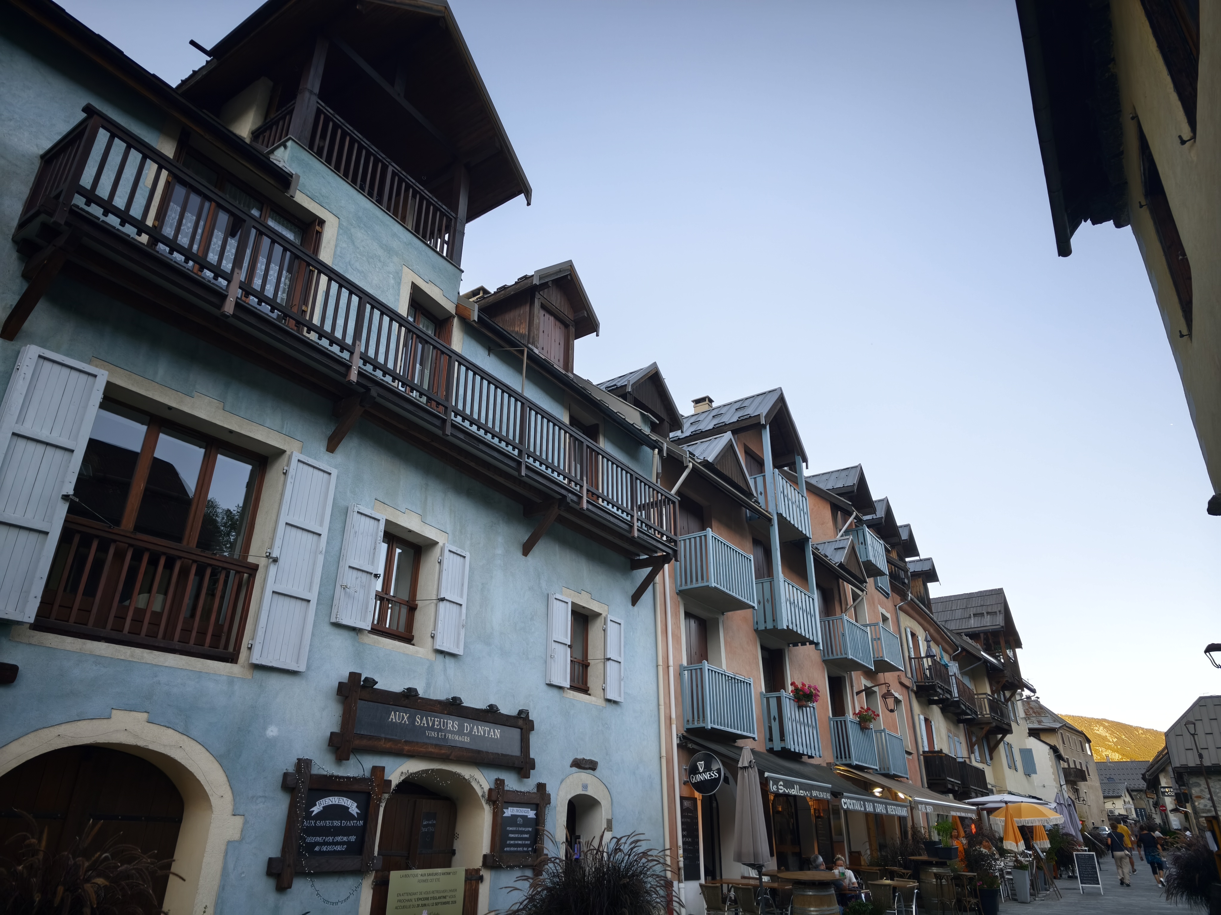
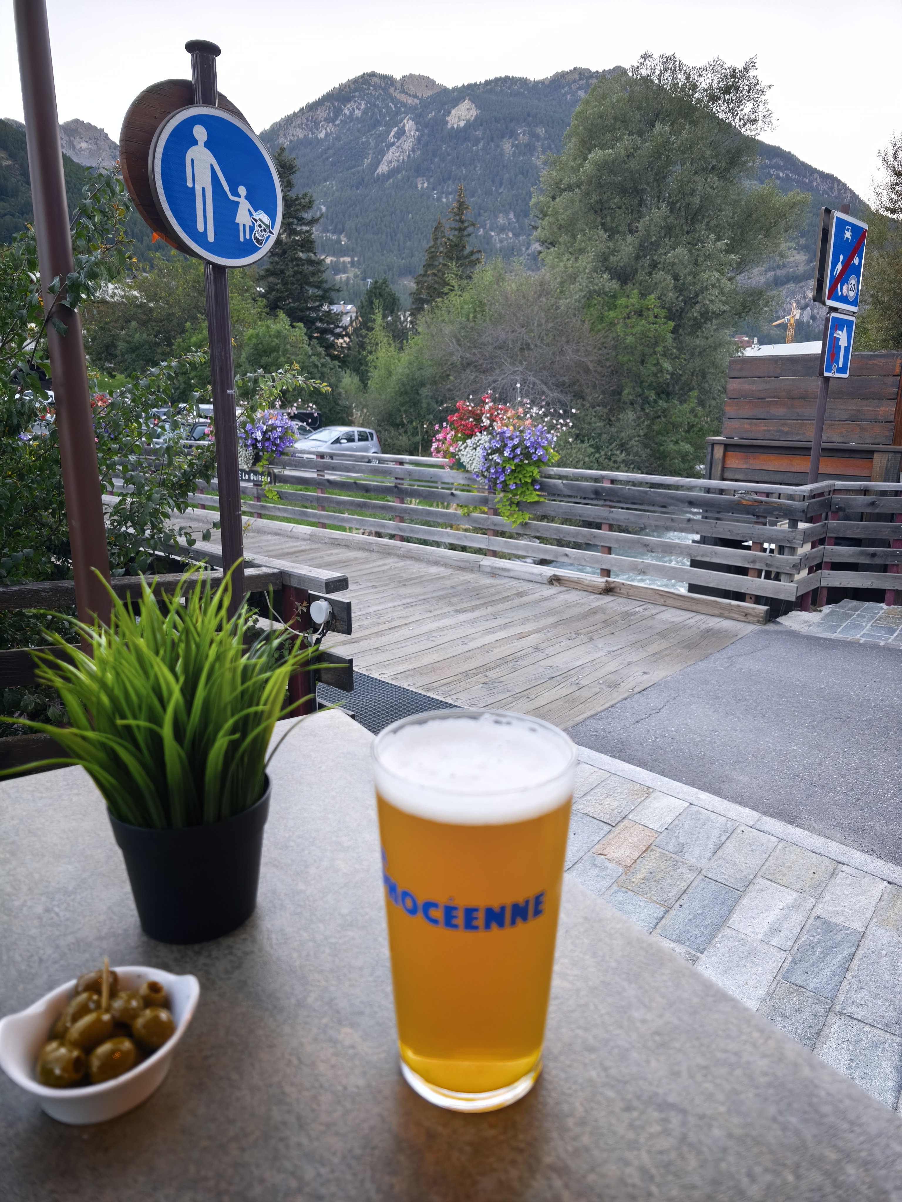
Day 32 is spent crossing the Po Valley toward Turin, heavy traffic and intense heat. If you happen to love factories and Amazon warehouses, this crossing is tailor-made for you. But the evening redeems everything: entering France via Briançon and its Vauban citadel, followed by a night in Serre Chevalier with dinner along the rushing Guisane river.
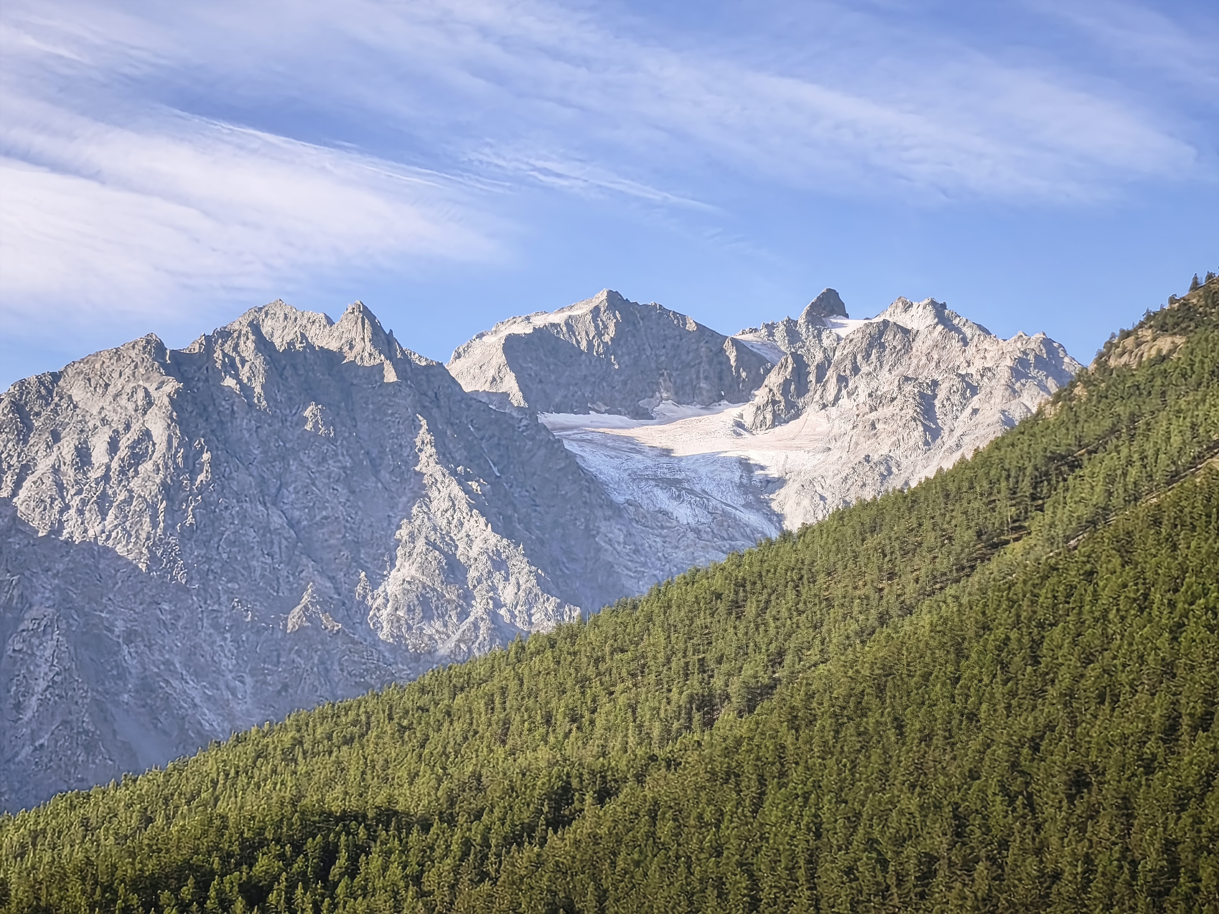
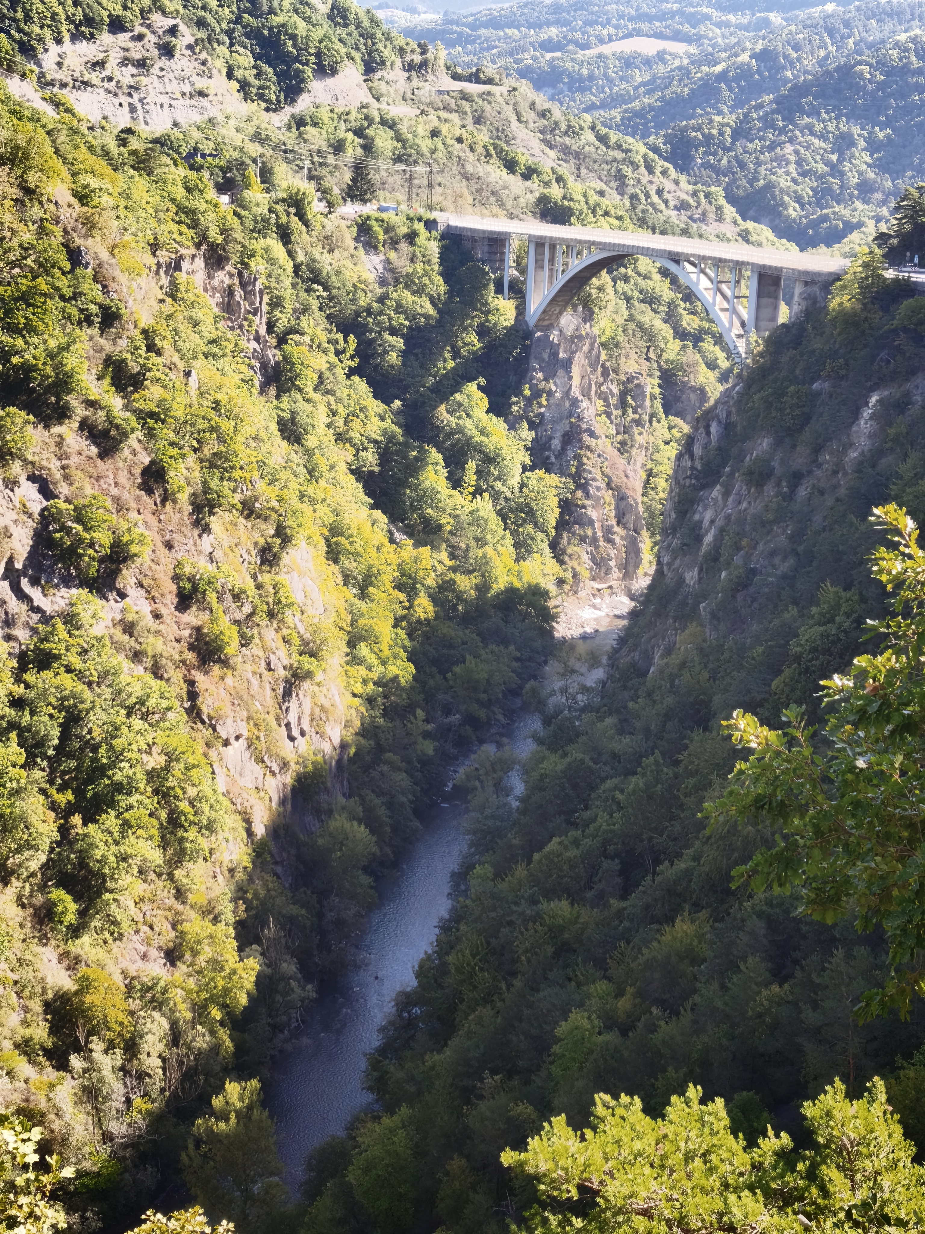
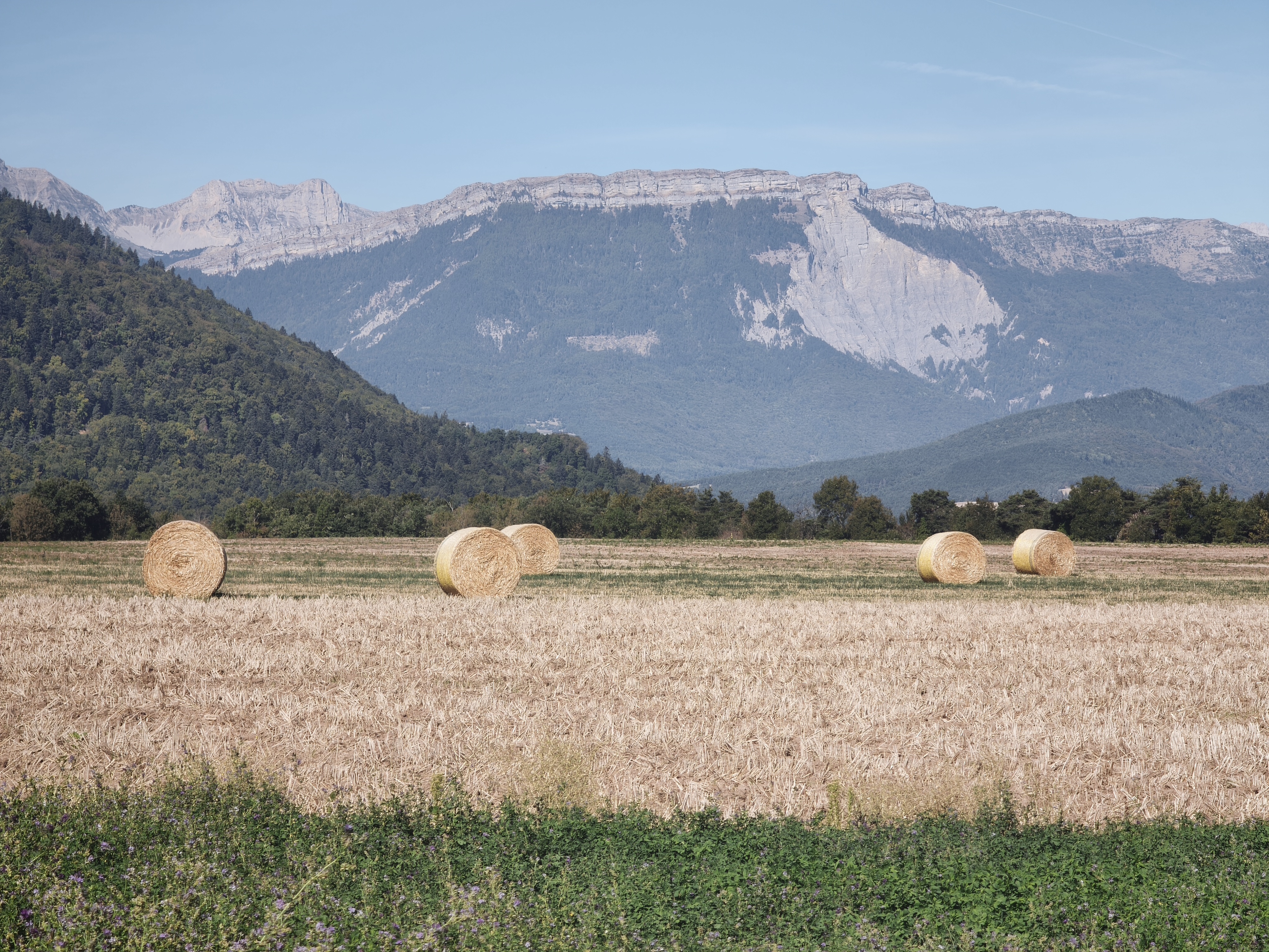
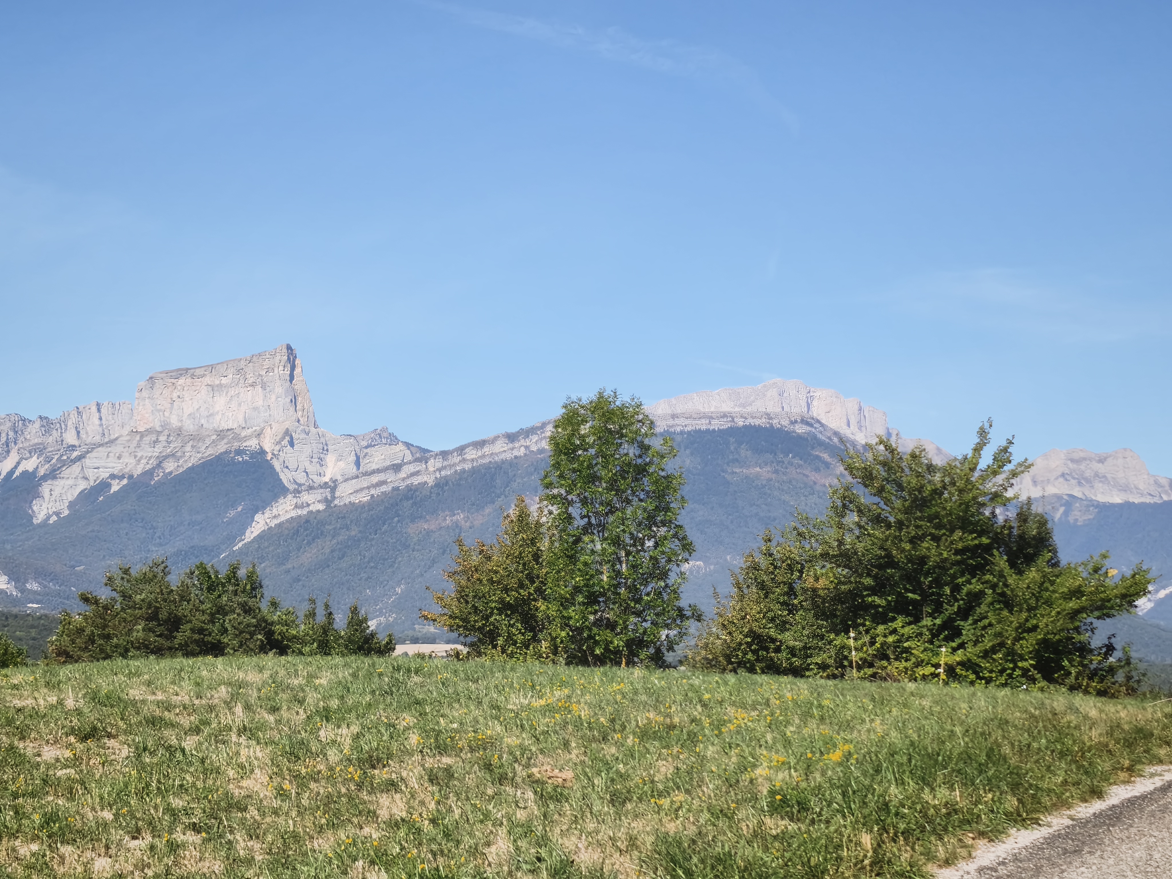
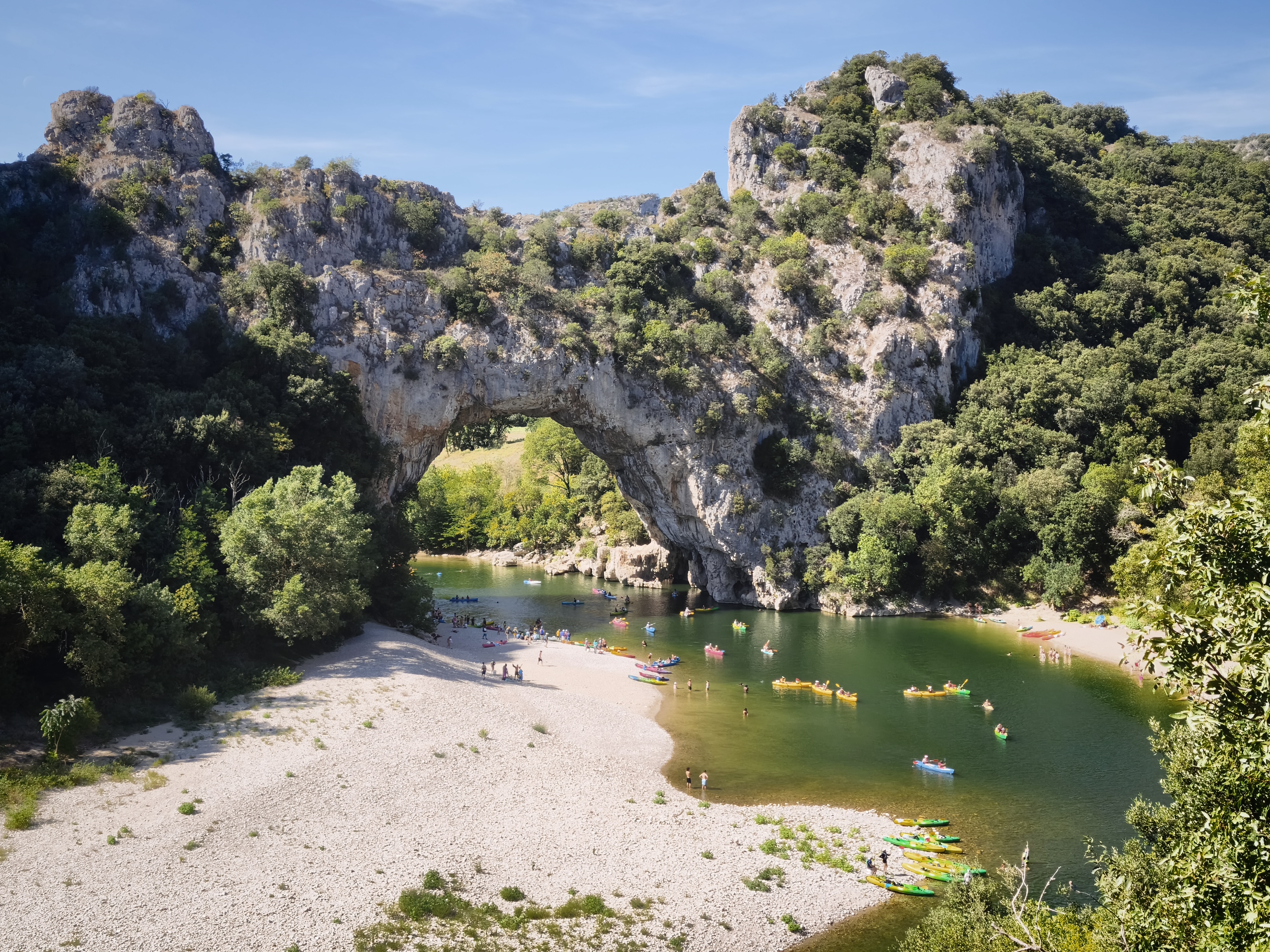
The final leg home to Rabastens (660 km, the longest saddle time of the journey). While my trips usually ended with highway stretches in the past, this time I decided on the exact opposite: steering for backroads, and specifically some of the finest roads in France. Starting at 8°C on the Col du Lautaret, carving through the twisties of the Diois facing Mount Aiguille, sweeping through the scorching gorges of the Ardèche, and catching the cool forest air on the crests of the Cévennes. Back home after 33 days and 13,320 km. It had been a long time since I’d opened a fresh local craft beer from the Tarn!
Après avoir fait bénir la moto par un prêtre orthodoxe croisé dans une station-service, c’est le départ de l’étape « Hellas Express », traversant la Grèce d’est en ouest. Parmi les temps forts : une halte matinale au monastère flottant d’Agios Nikolaos à Porto Lagos, et une pause au coucher du soleil dans le petit port de pêche de Sagiada à la frontière albanaise. Entre les deux : sept heures de roulage rapide sur de grands axes. Moment généralement propice à de longues réflexions, bras accrochés au guidon et tête enfermée dans une cage en fibre de carbone. Poisson frais et bière avec Corfou dans le champ de vision, avant d’embarquer pour 16 heures de ferry à travers l’Adriatique.
De retour en Italie, cap sur le village fortifié de Mondavio. Quel bonheur de retrouver la gastronomie italienne : une Moretti bien fraîche et une assiette de tacconi allo sgagg (pâtes fraîches à la farine de fèves) !
Le jour 32 est consacré à la traversée de la plaine du Pô vers Turin. Un trafic dense, une forte chaleur. Et si vous aimez les usines et les entrepôts Amazon, cette traversée est faite pour vous. Mais la soirée rattrape tout : passage en France par Briançon et sa citadelle Vauban, puis nuit à Serre Chevalier avec un dîner au bord du torrent de la Guisane.
Ultime étape vers Rabastens (660 km, le plus gros temps de selle du voyage). Si jusqu’à maintenant mes voyages se terminaient par les autoroutes, je décide cette fois de tout l’inverse : cap sur les petites routes, et si possibles les plus belles de France : départ à 8°C au col du Lautaret, virages du Diois face au Mont Aiguille, traversée des gorges de l’Ardèche sous la chaleur, et fraîcheur des forêts sur les crêtes des Cévennes. Retour à la maison après 33 jours et 13 320 km. Cela faisait longtemps que je n’avais pas ouvert une petite bière tarnaise !
Conclusion & Reflections on Turkey
It takes time to reach it by road, and time to return. But those 25 days in Turkey will remain etched in my memory forever. Turkey is vast and wildly diverse. From Mediterranean cliffs to the high plateaus of the Caucasus, every region tells a distinct geological and human story. Yet beyond the varied cultures and landscapes, one constant remains: the incredible hospitality and generosity of the Turkish people. Never before had complete strangers pulled me over simply to share a glass of scalding çay. Never had hosts welcomed me with such genuine, warm embraces. And being able to leave a fully loaded motorcycle parked on the street overnight with complete peace of mind is a rare privilege these days. Teşekkürler to everyone who made this journey so exceptional.
Il faut du temps pour l’atteindre par la route, et du temps pour en revenir. Mais ces 25 jours en Turquie resteront gravés à jamais. La Turquie est vaste et d’une diversité folle. Des falaises méditerranéennes aux hauts plateaux du Caucase, chaque région raconte une histoire géologique et humaine différente. Mais par-delà les cultures et les paysages, une constante demeure : l’incroyable hospitalité et la générosité du peuple turc. Jamais des inconnus ne m’avaient arrêté sur le bord de la route simplement pour partager un çay brûlant. Jamais des hôtes ne m’avaient accueilli avec de véritables accolades chaleureuses. Et pouvoir laisser une moto chargée garée dans la rue la nuit en toute sérénité est un privilège rare de nos jours. Teşekkürler à toutes celles et ceux qui ont rendu ce voyage si exceptionnel.
Trip Statistics
• Unleaded Fuel: 650 L
• Water: 100 L
• Limonata: 25 L
• Bomonti Filtresiz Beer: 15 L
• Çay (Tea): 7 L
• Rakı: 75 cl

